The best hiking routes in Trentino – Alto Adige/Südtirol
Discover the best walks in Trentino – Alto Adige/Südtirol. 1460 routes on the map, with descriptions, photos and GPX.
About Trentino – Alto Adige/Südtirol
Trentino - Alto Adige/Südtirol contains stark geological contrasts that dictate the difficulty of your walk. In the north, the high-altitude terrain of the Parco Nazionale dello Stelvio - Nationalpark Stilfser Joch is shaped by dark, crumbling slate and massive glaciers, where paths are often rough, rocky scree. In contrast, the southern limestone areas, such as the Rete di riserve Alpi Ledrensi, present steep, pale cliffs and grassy ridges that drop down toward milder lake basins.
Read more
About Trentino – Alto Adige/Südtirol
Trentino - Alto Adige/Südtirol contains stark geological contrasts that dictate the difficulty of your walk. In the north, the high-altitude terrain of the Parco Nazionale dello Stelvio - Nationalpark Stilfser Joch is shaped by dark, crumbling slate and massive glaciers, where paths are often rough, rocky scree. In contrast, the southern limestone areas, such as the Rete di riserve Alpi Ledrensi, present steep, pale cliffs and grassy ridges that drop down toward milder lake basins.
Read moreTrentino - Alto Adige/Südtirol contains stark geological contrasts that dictate the difficulty of your walk. In the north, the high-altitude terrain of the Parco Nazionale dello Stelvio - Nationalpark Stilfser Joch is shaped by dark, crumbling slate and massive glaciers, where paths are often rough, rocky scree. In contrast, the southern limestone areas, such as the Rete di riserve Alpi Ledrensi, present steep, pale cliffs and grassy ridges that drop down toward milder lake basins.
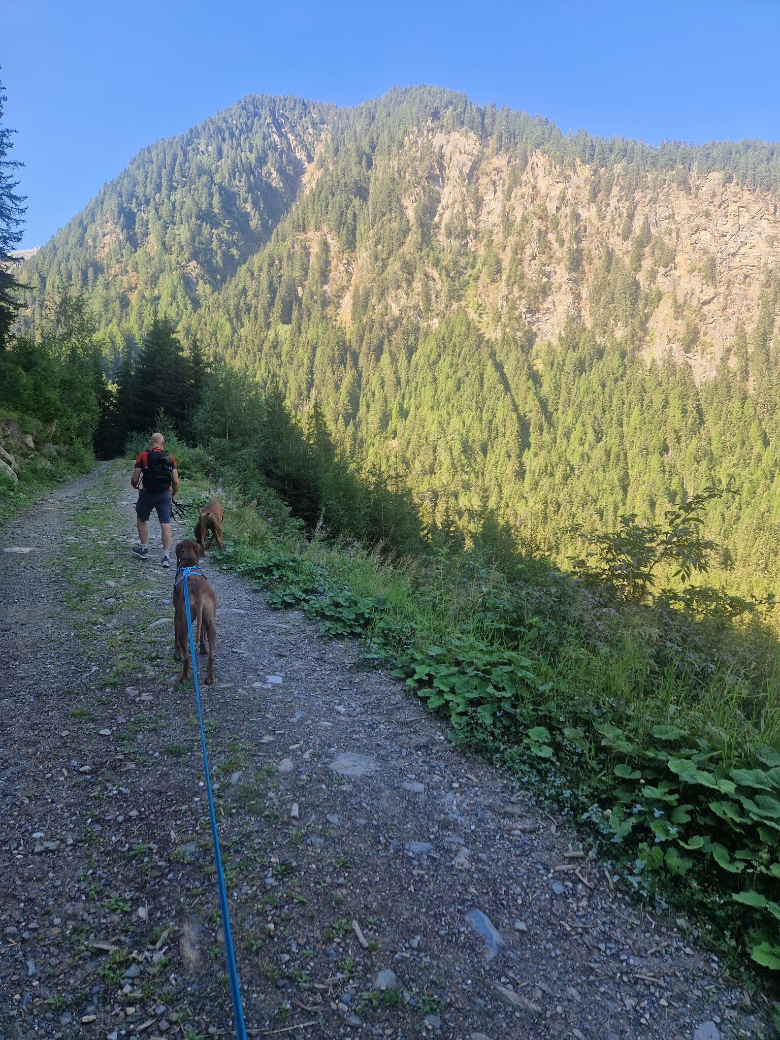
Underfoot, the paths vary from wide, gravel forestry tracks in the lower valleys to narrow, exposed ledge trails higher up. In Stelvio, you will walk on coarse moraine clay and sharp shale, where the vegetation is limited to low alpine scrub. Further south in the Ledrensi reserve, the paths cross limestone karst, where water disappears into the porous rock, leaving the surface dry and stony even after rain.
By October, the larch forests in the northern valleys turn a deep yellow, while the southern limestone slopes remain green with pine and beech. If you prefer wide, open valley floors with gentle gradients, stick to the lower river corridors. For steep, demanding ascents that require steady footwork on loose stone, head to the high-altitude trails of the northern national park.
Nature areas in Trentino – Alto Adige/Südtirol
Zoom or pan for more routes
Hiking routes in Trentino – Alto Adige/Südtirol (1,460)
#1. 2
Schenna - Scena
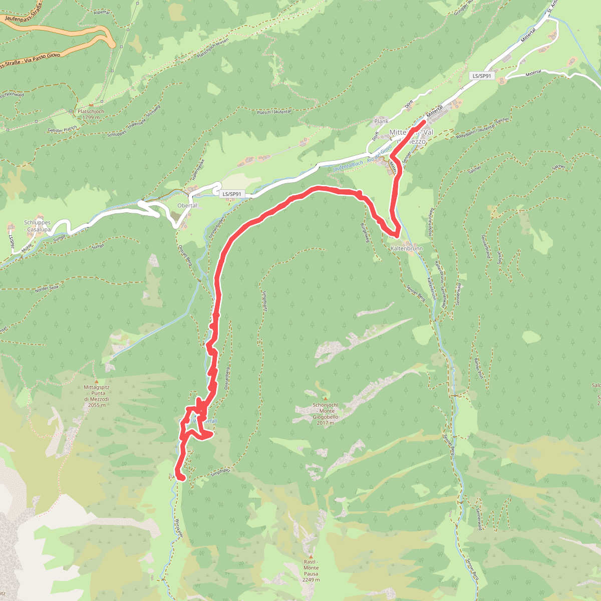
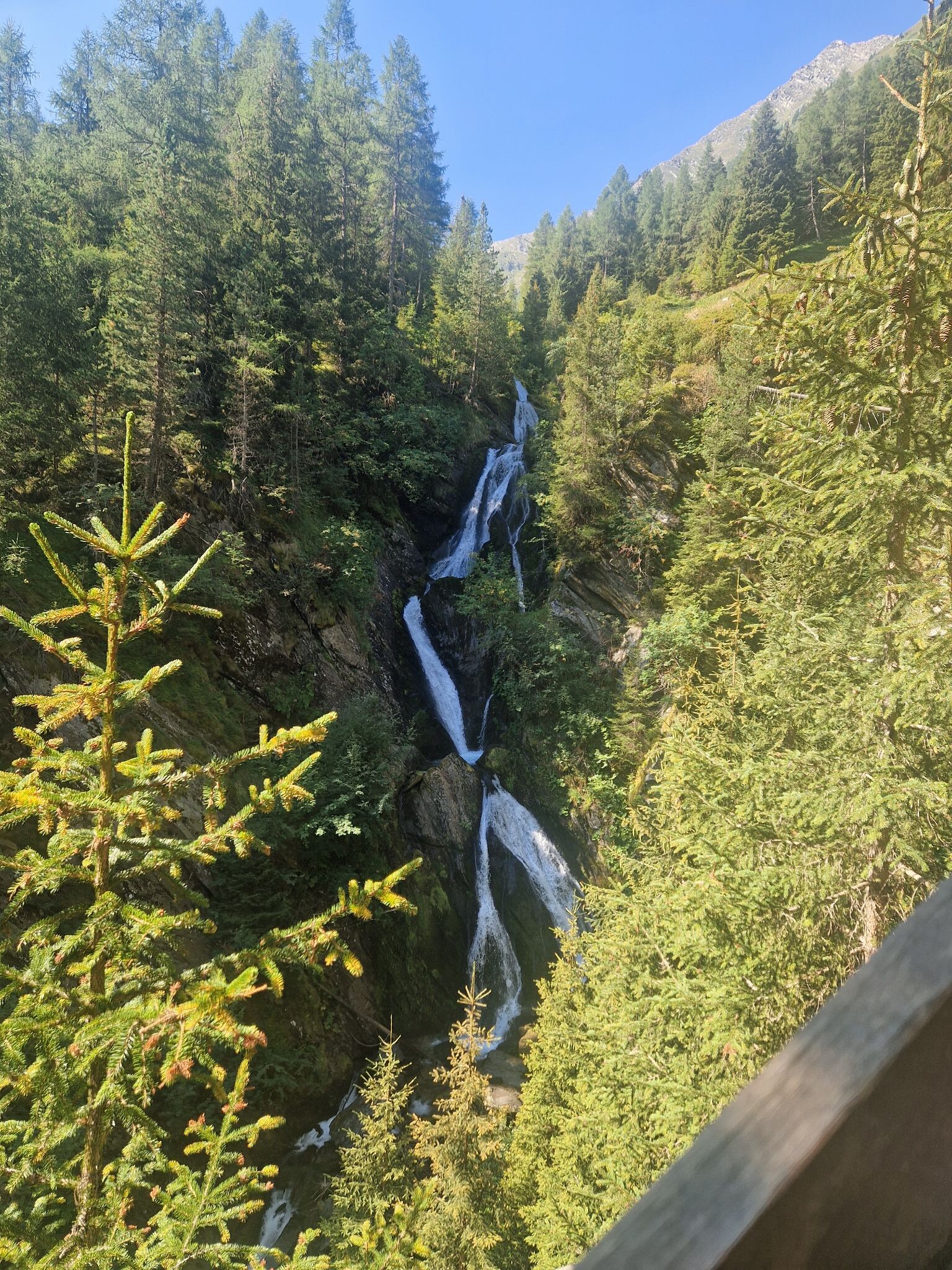
#2. Cascata Gurgl
Hele mooie wandeling naar de waterval.
Ratschings - Racines
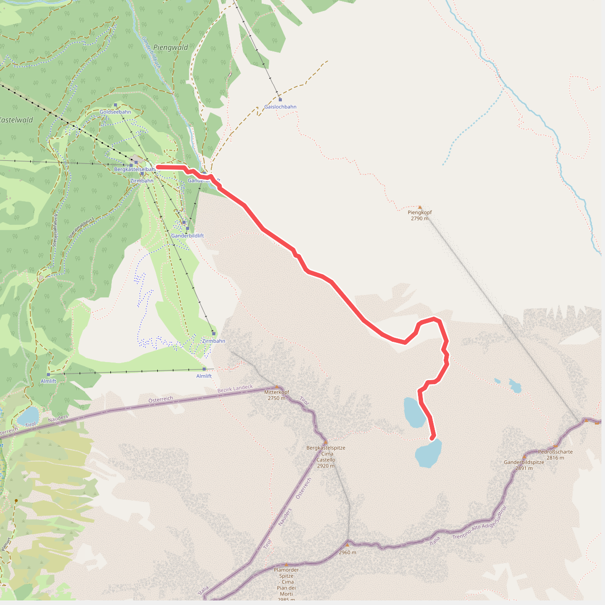
#3. Nauders Wanderweg Nr. 20
Nauders
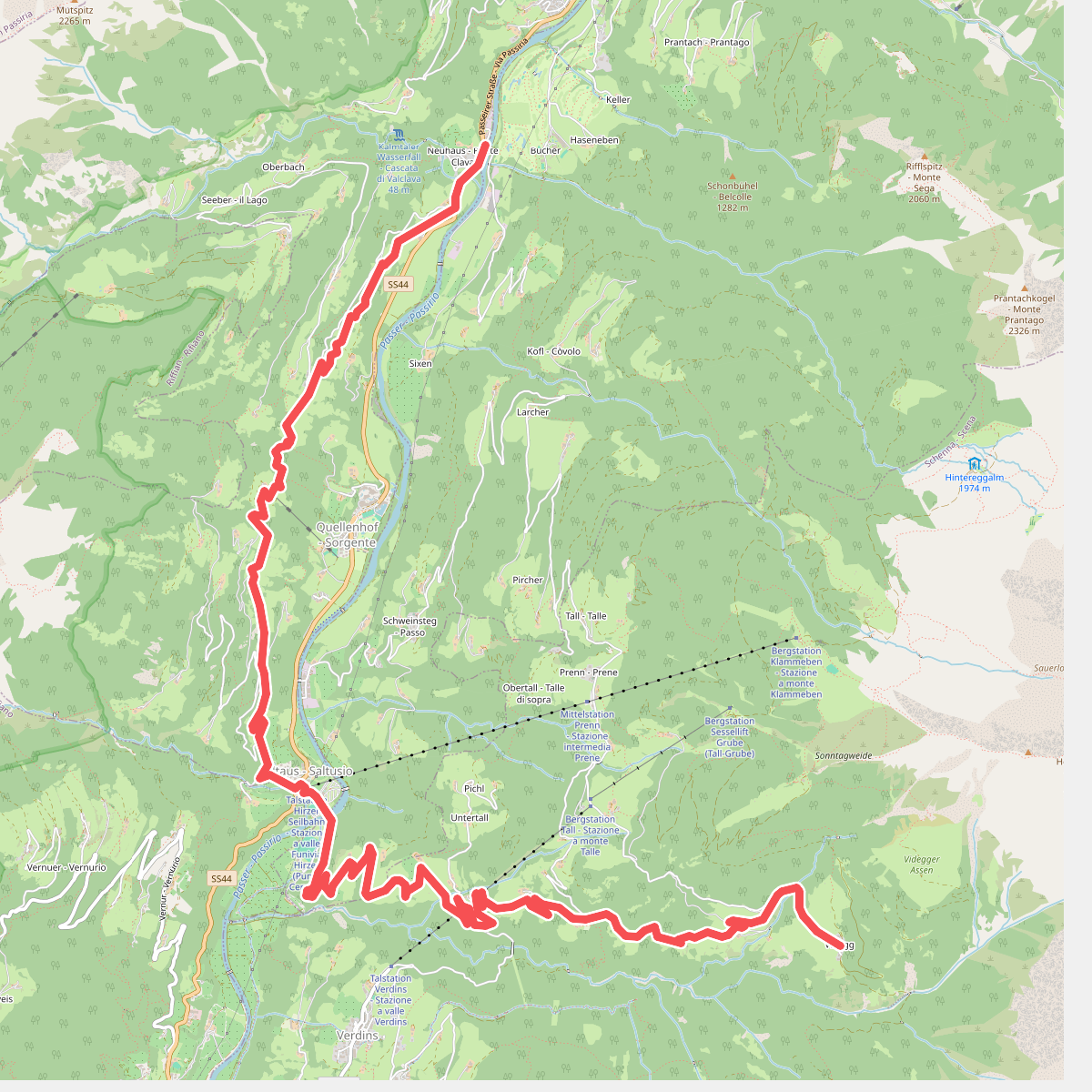
#4. 1
St. Martin in Passeier - San Martino in Passiria,St. Leonhard in Passeier - San Leonardo in Passiria,Schenna - Scena
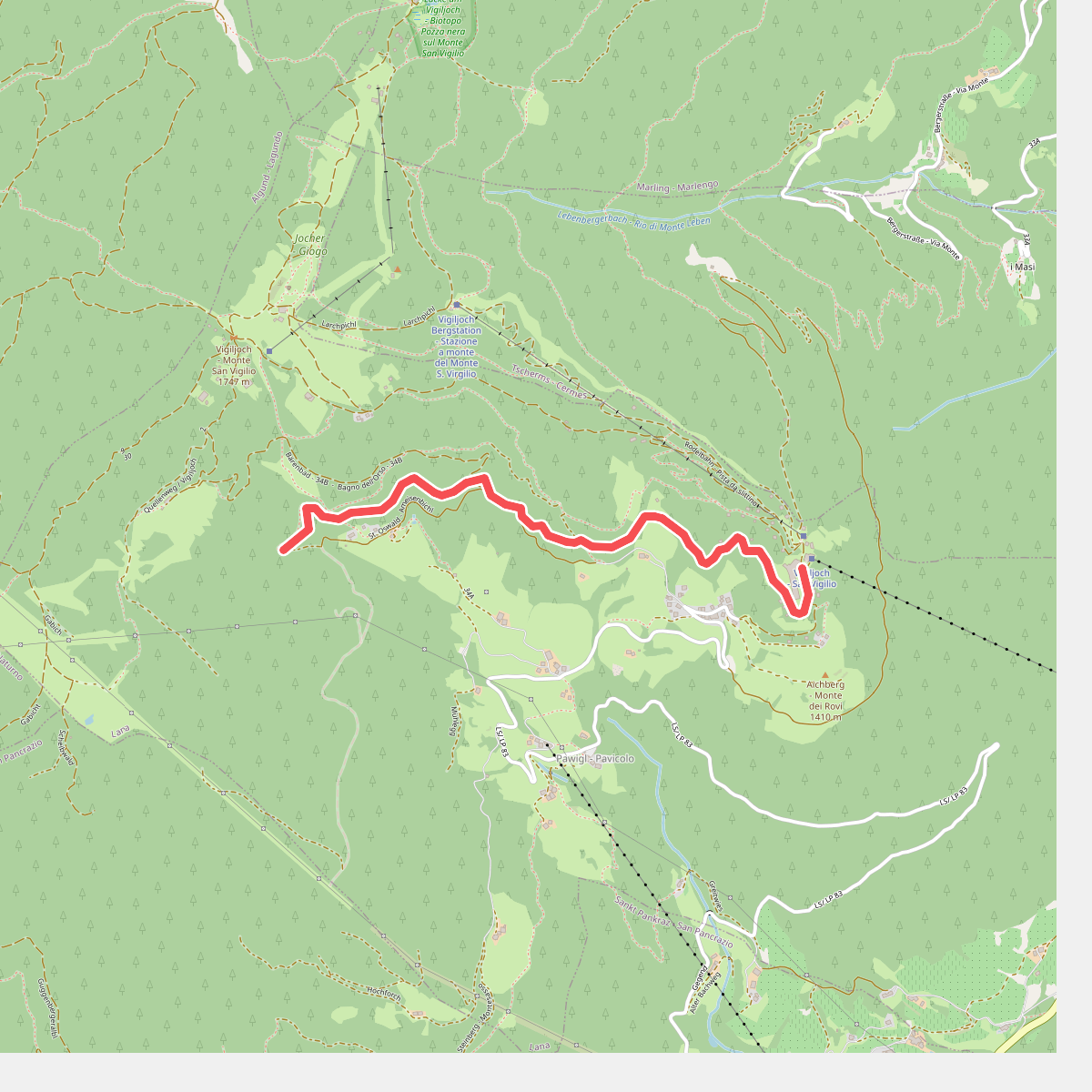
#5. 1
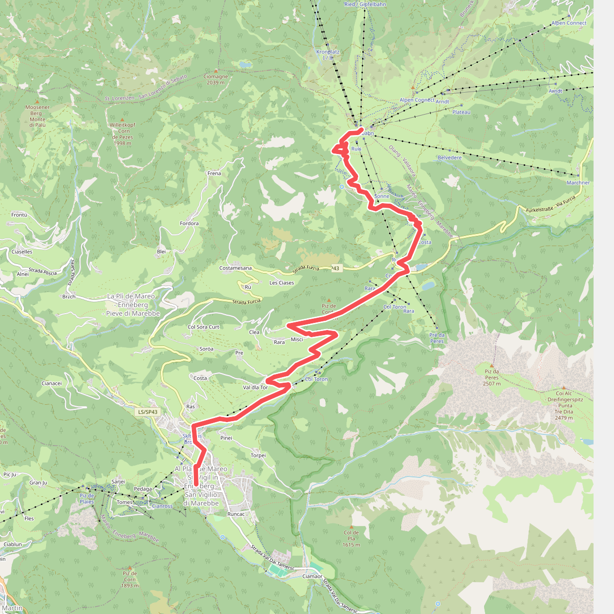
#6. 1 - Al Plan de Mareo => Kronplatz
Marèo - Enneberg - Marebbe,Bruneck - Brunico
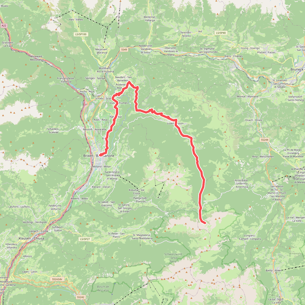
#7. 1 - Brixen => Natz => Rodeneck => Lüsen => AV2
Brixen - Bressanone,Natz-Schabs - Naz-Sciaves,Rodeneck - Rodengo,Lüsen - Luson,San Martin de Tor - San Martino in Badia - St. Martin in Thurn,Villnöß - Funes
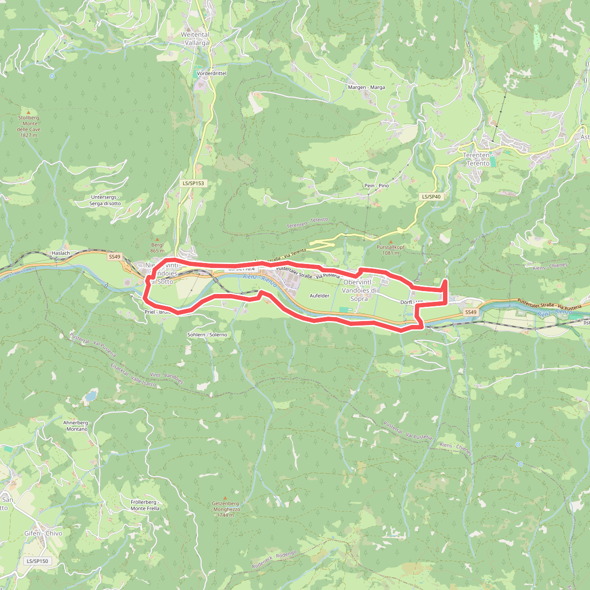
#8. 1 - Dörferrundweg (Vintl)
Vintl - Vandoies
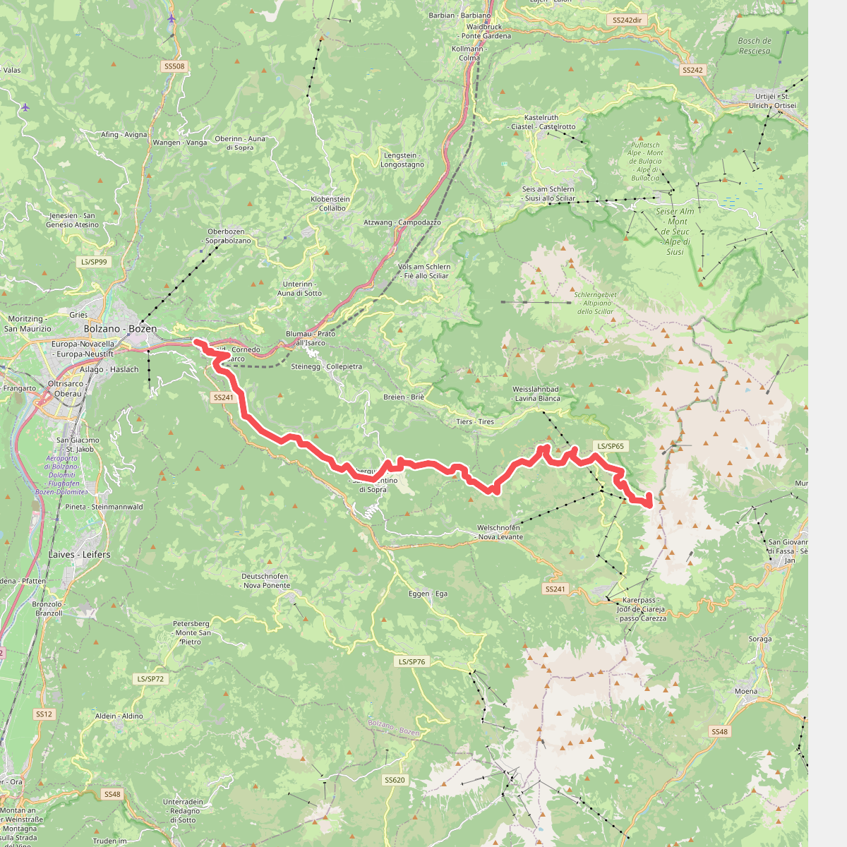
#9. 1 - Kardaun => Nigerpass => Kölner Hütte
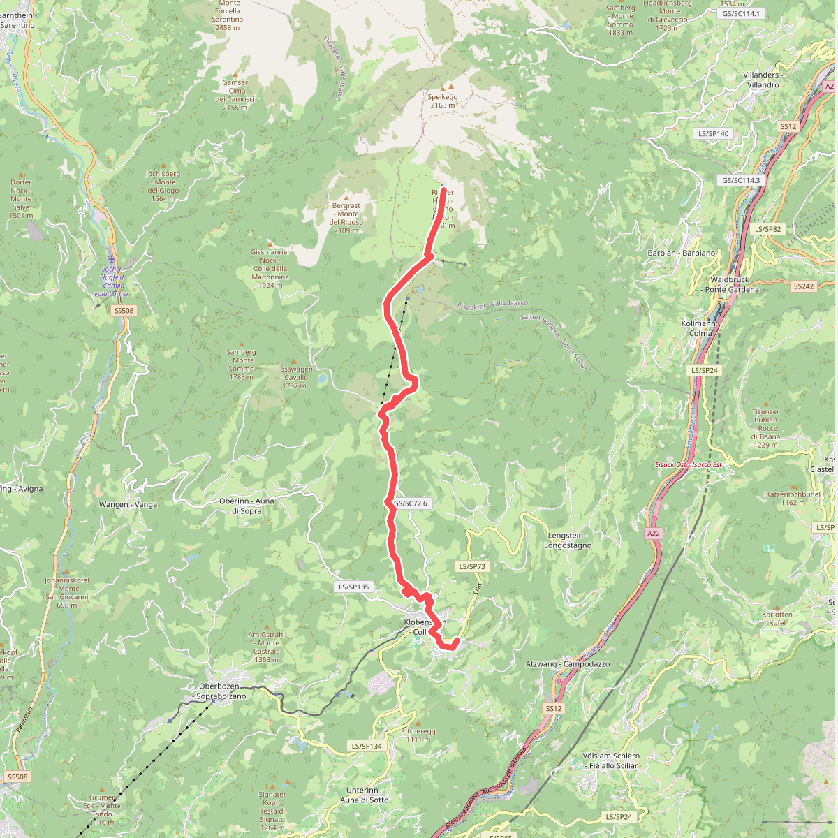
#10. 1 - Klobenstein => Rittner Horn
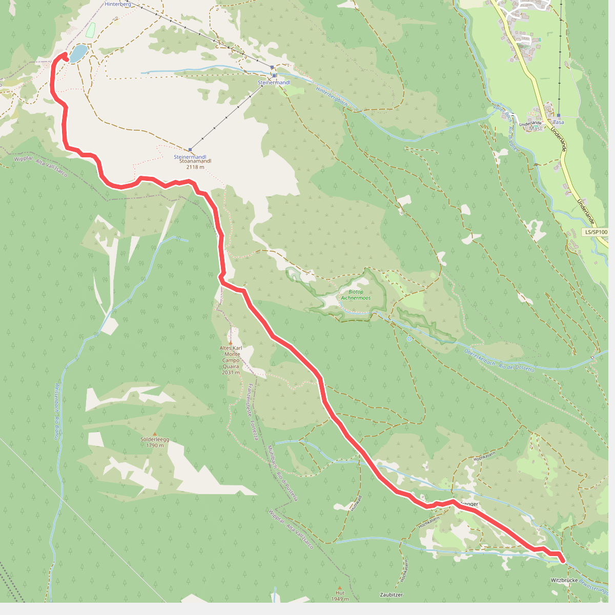
#11. 1 - Knappensteig
Mühlbach - Rio di Pusteria,Freienfeld - Campo di Trens