The best hiking routes in Tartu County
Discover the best walks in Tartu County. 6 routes on the map, with descriptions, photos and GPX.
About Tartu County
Tartu County presents a landscape shaped by the slow movement of ancient ice sheets and the steady flow of the Emajõgi River. Walkers will find a terrain defined by low-lying wetlands, flat river plains, and gently rolling drumlins rather than dramatic ridges or deep valleys. Underfoot, the paths vary from soft peat and wooden boardwalks in the boggy depressions to firmer clay and sandy soil along the pine-forested ridges.
Read more
About Tartu County
Tartu County presents a landscape shaped by the slow movement of ancient ice sheets and the steady flow of the Emajõgi River. Walkers will find a terrain defined by low-lying wetlands, flat river plains, and gently rolling drumlins rather than dramatic ridges or deep valleys. Underfoot, the paths vary from soft peat and wooden boardwalks in the boggy depressions to firmer clay and sandy soil along the pine-forested ridges.
Read moreTartu County presents a landscape shaped by the slow movement of ancient ice sheets and the steady flow of the Emajõgi River. Walkers will find a terrain defined by low-lying wetlands, flat river plains, and gently rolling drumlins rather than dramatic ridges or deep valleys. Underfoot, the paths vary from soft peat and wooden boardwalks in the boggy depressions to firmer clay and sandy soil along the pine-forested ridges.
In the lowlands, the vast peat bogs dominate, where the ground springs slightly under each step and stunted pines frame the view. These wet areas contrast sharply with the agricultural drumlins further north, where wide fields stretch across long, rounded hills. In late September, the bog cranberry crops turn the mossy ground deep red, marking a distinct seasonal shift in the open wetlands.
Choosing a route here is a choice between the damp, quiet isolation of the river basin and the more open, farmed slopes. The wetter trails often require navigating wooden planks to keep clear of the standing water, while the forest tracks offer straightforward, level walking. It is a region of quiet, steady walking where the interest lies in the subtle transition from dark spruce forests to wide, watery horizons.
Zoom or pan for more routes
Hiking routes in Tartu County (6)
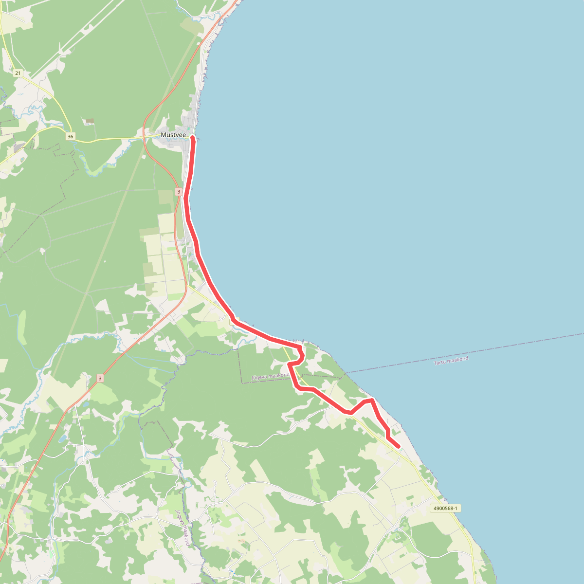
#1. E11 section 23: Mehikorma (Mehikoorma) – Lēniste (Lääniste)
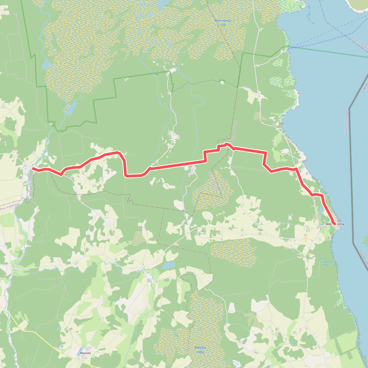
#2. E11 section 24: Lääniste‒Kavastu
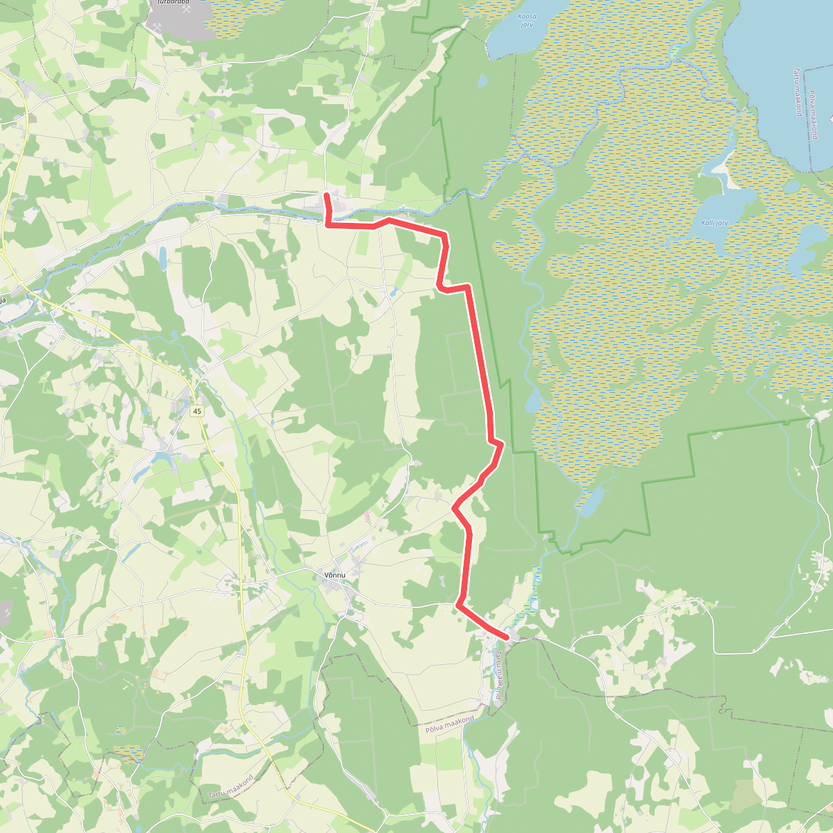
#3. E11 section 25: Kavastu‒Varnja
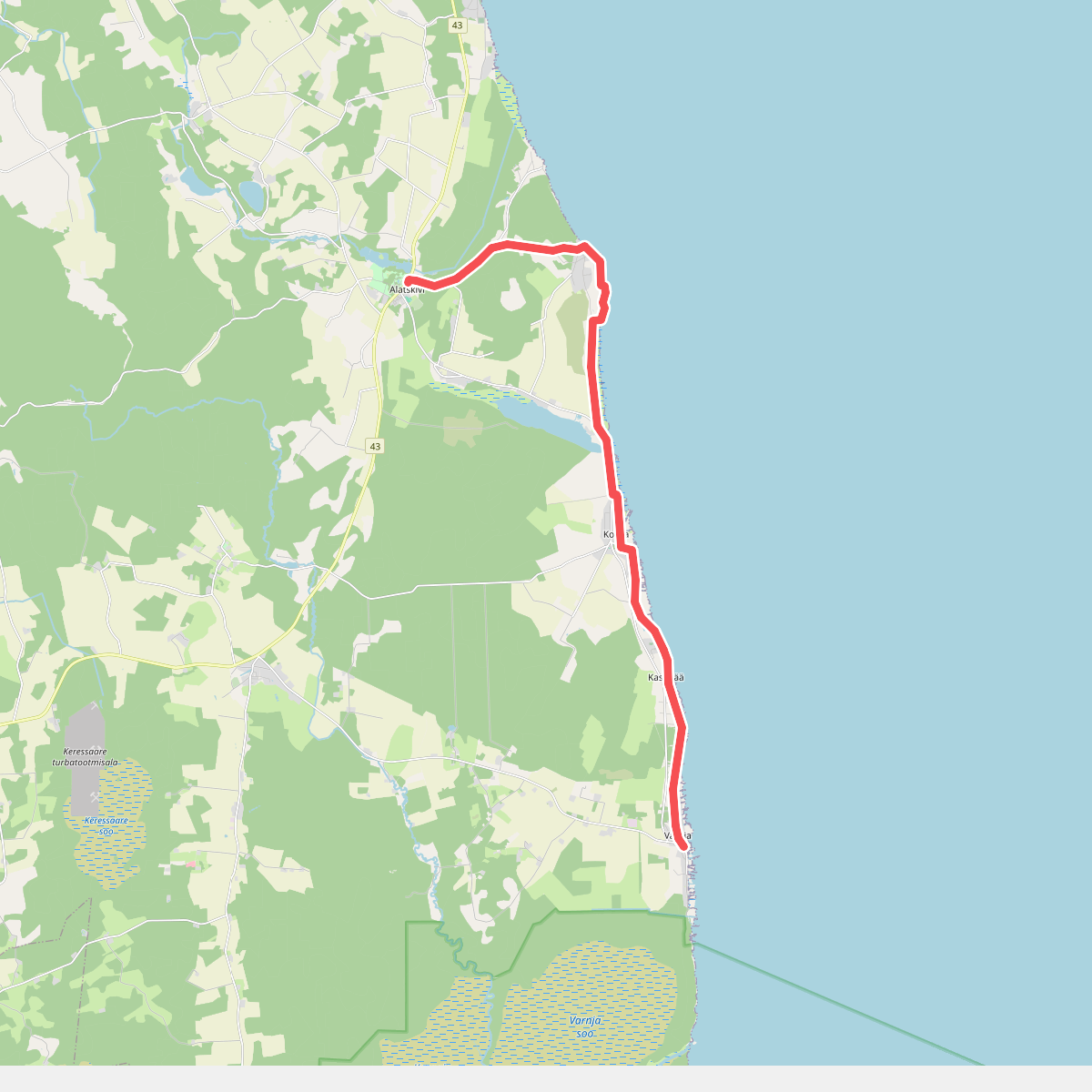
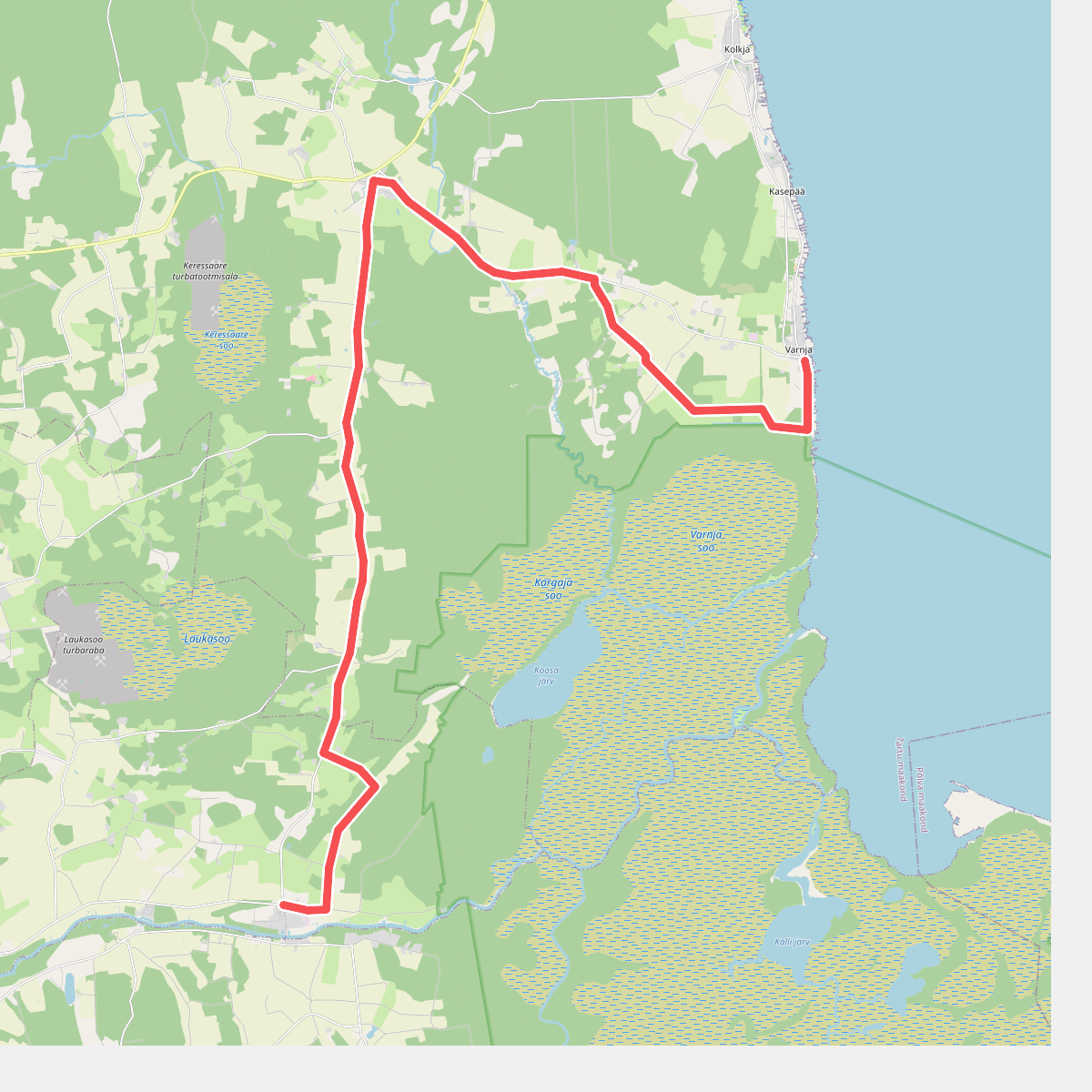
#4. E11 section 26: Varnja‒Alatskivi
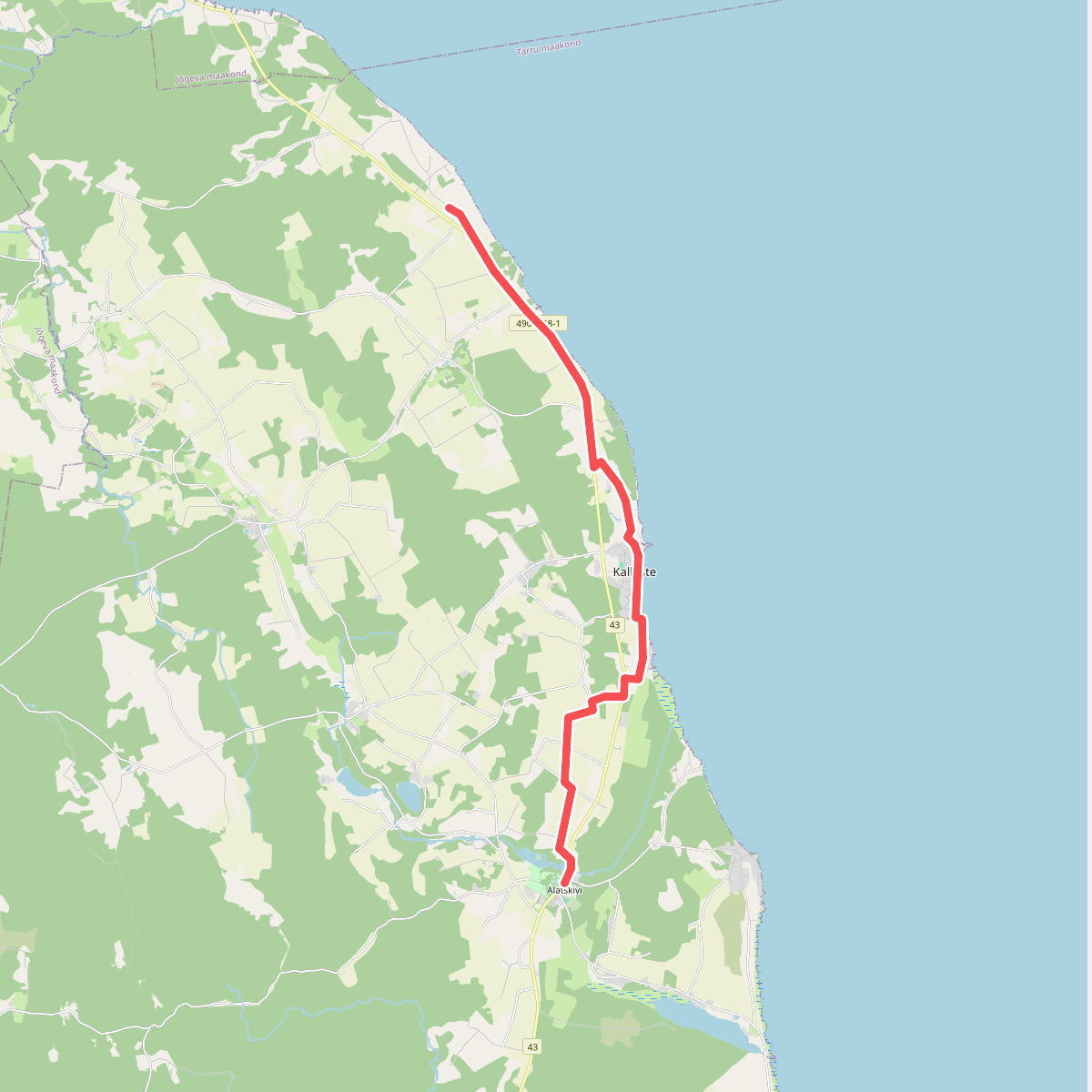
#5. E11 section 27: Alatskivi‒Rannamõisa