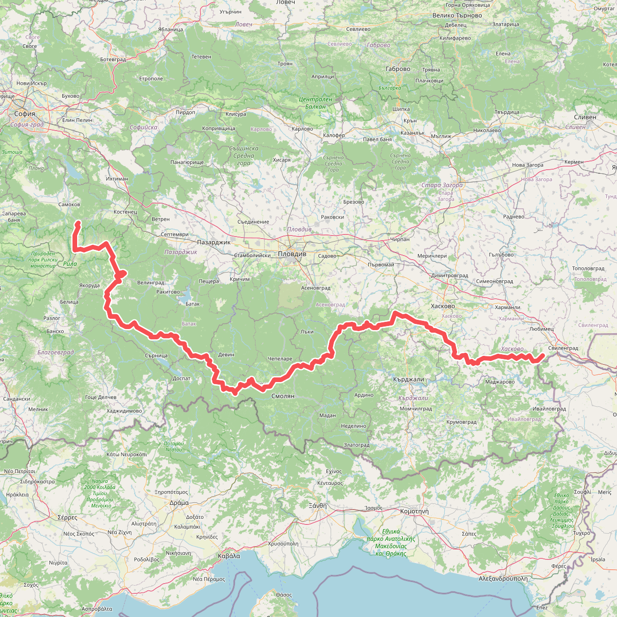
The best hiking routes in Stara Zagora
Discover the best walks in Stara Zagora. 1 routes on the map, with descriptions, photos and GPX.
About Stara Zagora
Стара Загора sits at a geographic transition where the flat, agricultural Thracian plain meets the rising slopes of the Balkan Mountains. Walkers choosing a route must decide between the steep, forested ridges to the north and the wide, open river lowlands to the south. The terrain dictates the underfoot conditions, shifting from packed dirt and rocky mountain paths in the high elevations to sandy clay and grassy tracks near the riverbeds.
Read more
About Stara Zagora
Стара Загора sits at a geographic transition where the flat, agricultural Thracian plain meets the rising slopes of the Balkan Mountains. Walkers choosing a route must decide between the steep, forested ridges to the north and the wide, open river lowlands to the south. The terrain dictates the underfoot conditions, shifting from packed dirt and rocky mountain paths in the high elevations to sandy clay and grassy tracks near the riverbeds.
Read moreСтара Загора sits at a geographic transition where the flat, agricultural Thracian plain meets the rising slopes of the Balkan Mountains. Walkers choosing a route must decide between the steep, forested ridges to the north and the wide, open river lowlands to the south. The terrain dictates the underfoot conditions, shifting from packed dirt and rocky mountain paths in the high elevations to sandy clay and grassy tracks near the riverbeds.
To the north, the high-altitude beech forests of Централен Балкан offer demanding climbs on steep, rocky trails where the tree canopy limits the view until you reach the open mountain meadows. Nearby, Българка presents a similar forested landscape but at a slightly lower elevation, where the paths are often covered in leaf litter and follow old trade routes across the ridge. In contrast, the southern lowlands of Марица - Първомай feature flat, alluvial terrain along the riverbanks, where the walking is level but can be dusty on unpaved agricultural tracks.
This landscape reflects its position between two climate zones. In May, the high meadows of Централен Балкан are bright green with fresh grass, while the lower riverbanks of Марица - Първомай are already drying out. There are no dramatic alpine peaks or deep canyons here; instead, you will find long, forested ridges that require steady climbing and wide, flat plains that offer straightforward, level walking.
Nature areas in Stara Zagora
Zoom or pan for more routes