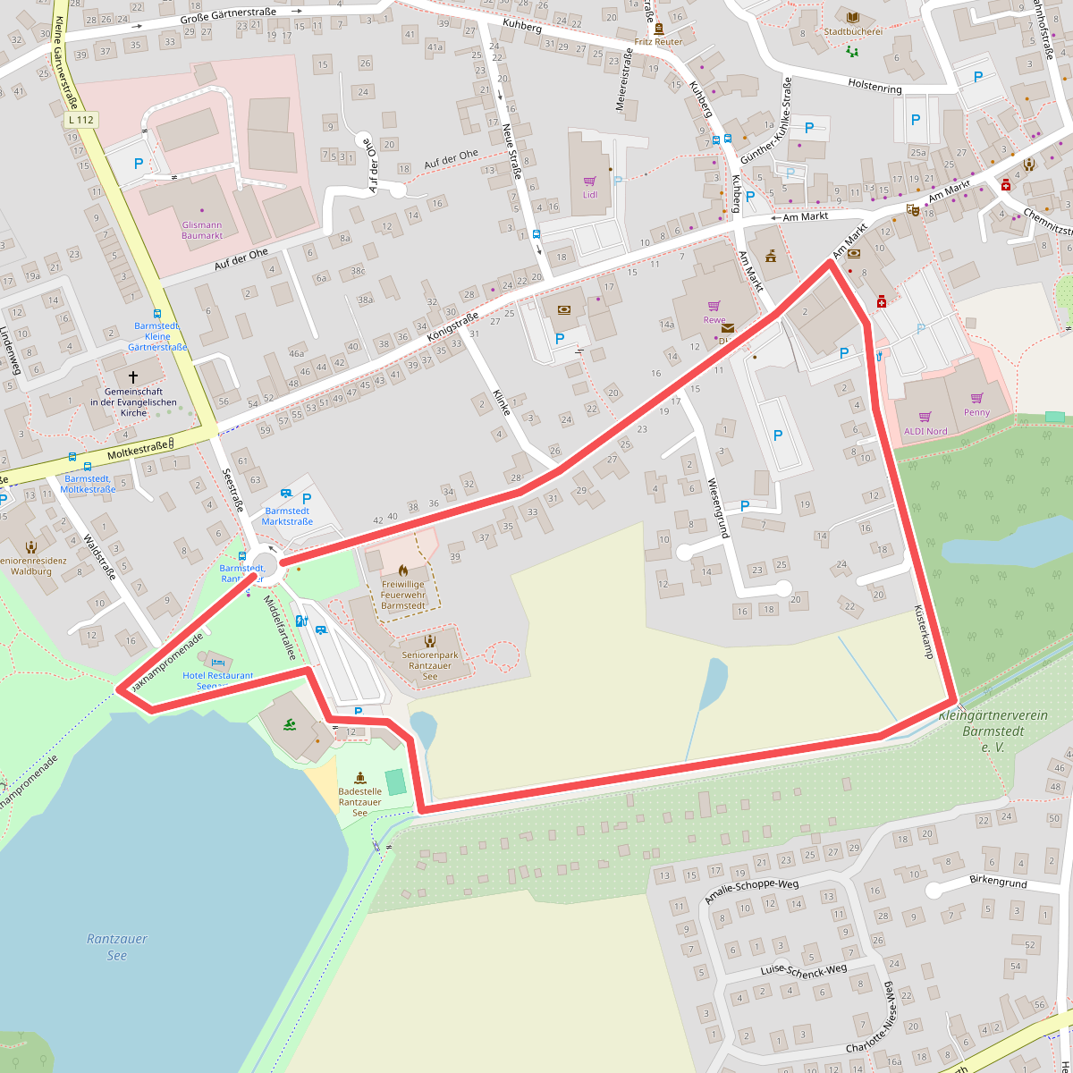
The best hiking routes in Schleswig-Holstein
Discover the best walks in Schleswig-Holstein. 234 routes on the map, with descriptions, photos and GPX.
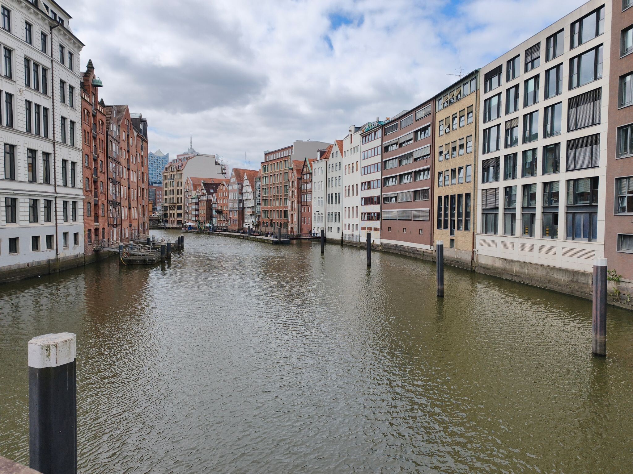
About Schleswig-Holstein
Schleswig-Holstein is defined by its glacial history, which created two distinct walking landscapes. The eastern side features a moraine landscape of low, wooded hills and lakes, while the central strip consists of flatter, sandy plains. Walking here does not involve climbing high peaks or navigating deep valleys, as the highest points rise only slightly above sea level. Instead, you will find a mix of dirt tracks, forest paths, and occasional paved lanes through agricultural land.
Read more
About Schleswig-Holstein
Schleswig-Holstein is defined by its glacial history, which created two distinct walking landscapes. The eastern side features a moraine landscape of low, wooded hills and lakes, while the central strip consists of flatter, sandy plains. Walking here does not involve climbing high peaks or navigating deep valleys, as the highest points rise only slightly above sea level. Instead, you will find a mix of dirt tracks, forest paths, and occasional paved lanes through agricultural land.
Read moreSchleswig-Holstein is defined by its glacial history, which created two distinct walking landscapes. The eastern side features a moraine landscape of low, wooded hills and lakes, while the central strip consists of flatter, sandy plains. Walking here does not involve climbing high peaks or navigating deep valleys, as the highest points rise only slightly above sea level. Instead, you will find a mix of dirt tracks, forest paths, and occasional paved lanes through agricultural land.
For those who prefer wooded hills and lake views, Naturpark Holsteinische Schweiz and the nearby Pönitzer Seenplatte und Haffwiesen offer paths that wind around deep water basins left by melting ice. If you want a quieter, more intimate woodland experience with gentle ridges, Naturpark Aukrug and Naturpark Hüttener Berge provide sandy forest tracks and small heathland patches. In contrast, the low-lying Moore der Eider-Treene-Sorge-Niederung offers flat walking on damp peat soils and raised embankments where drainage ditches shape the fields.
Underfoot, the terrain varies from the soft needle litter of the inland pine forests to the firmer clay and gravel paths along the Schlei, a long Baltic inlet. In November, the beech forests of Naturpark Westensee drop their leaves, opening up views of the water that are obscured by thick green foliage during the summer months. While popular lakeside paths near the larger towns attract more visitors on weekends, the interior forest tracks of the central parks remain quiet throughout the week.
Nature areas in Schleswig-Holstein
Zoom or pan for more routes
Hiking routes in Schleswig-Holstein (234)
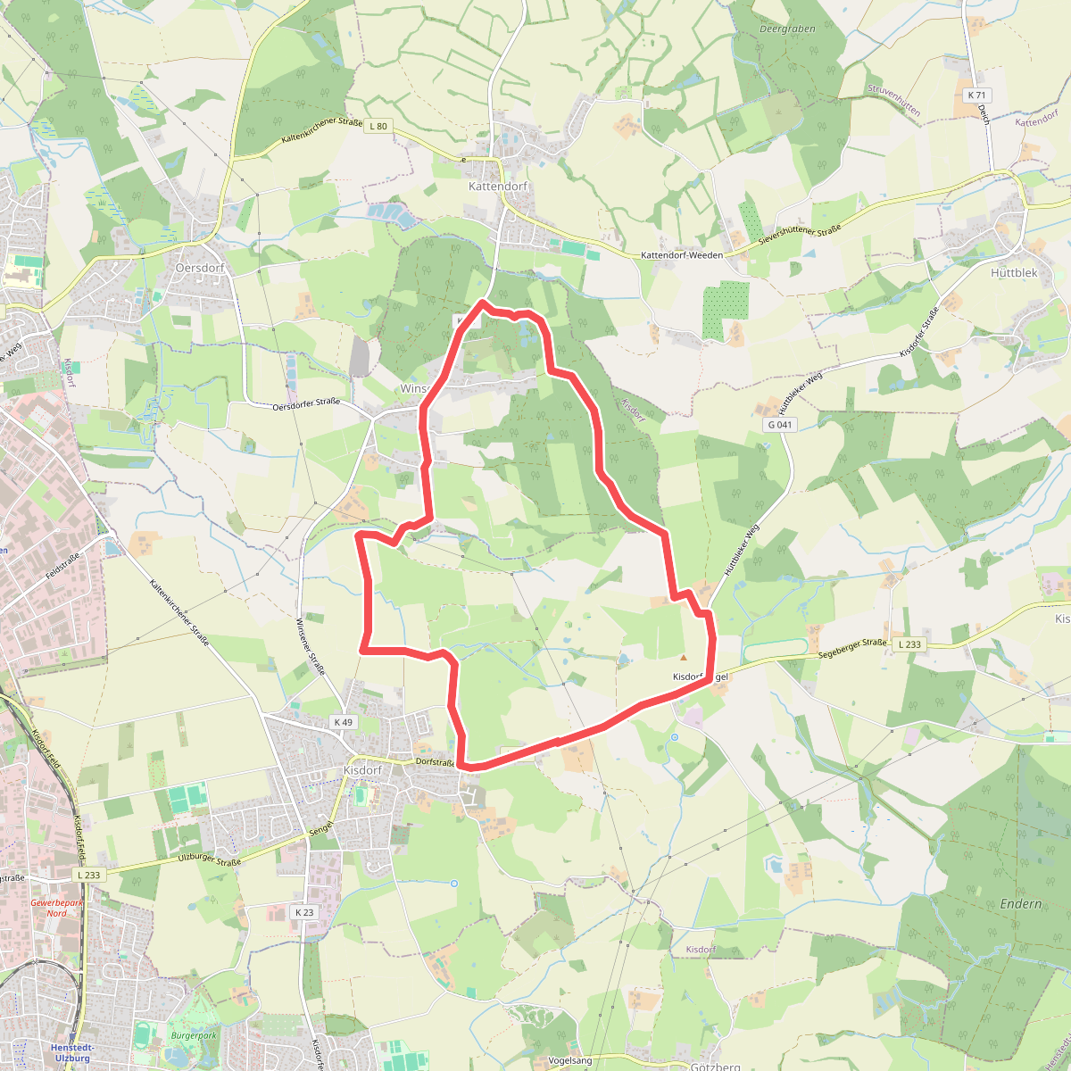
#1. Rundweg durch die Gemeinden Kisdorf und Winsen
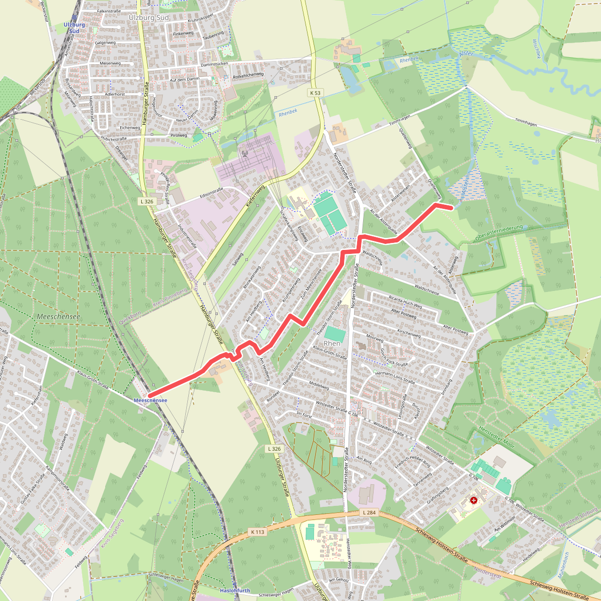
#2. Alsterquelle - Meeschensee (AQ-ME)
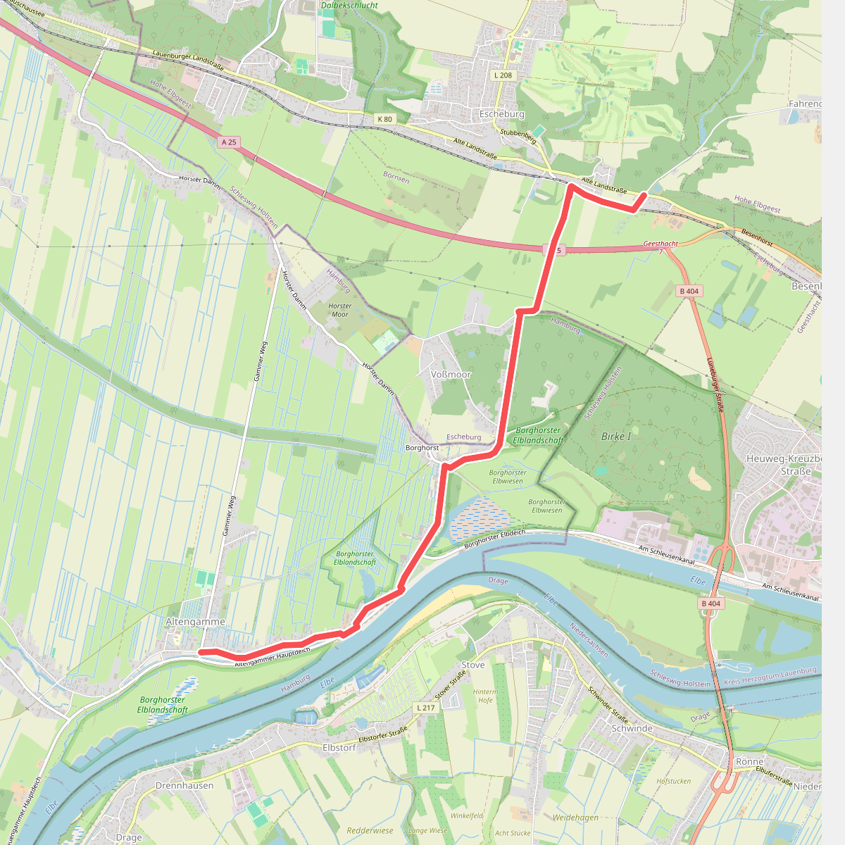
#3. Altengamme - Escheburg (AG-ES)
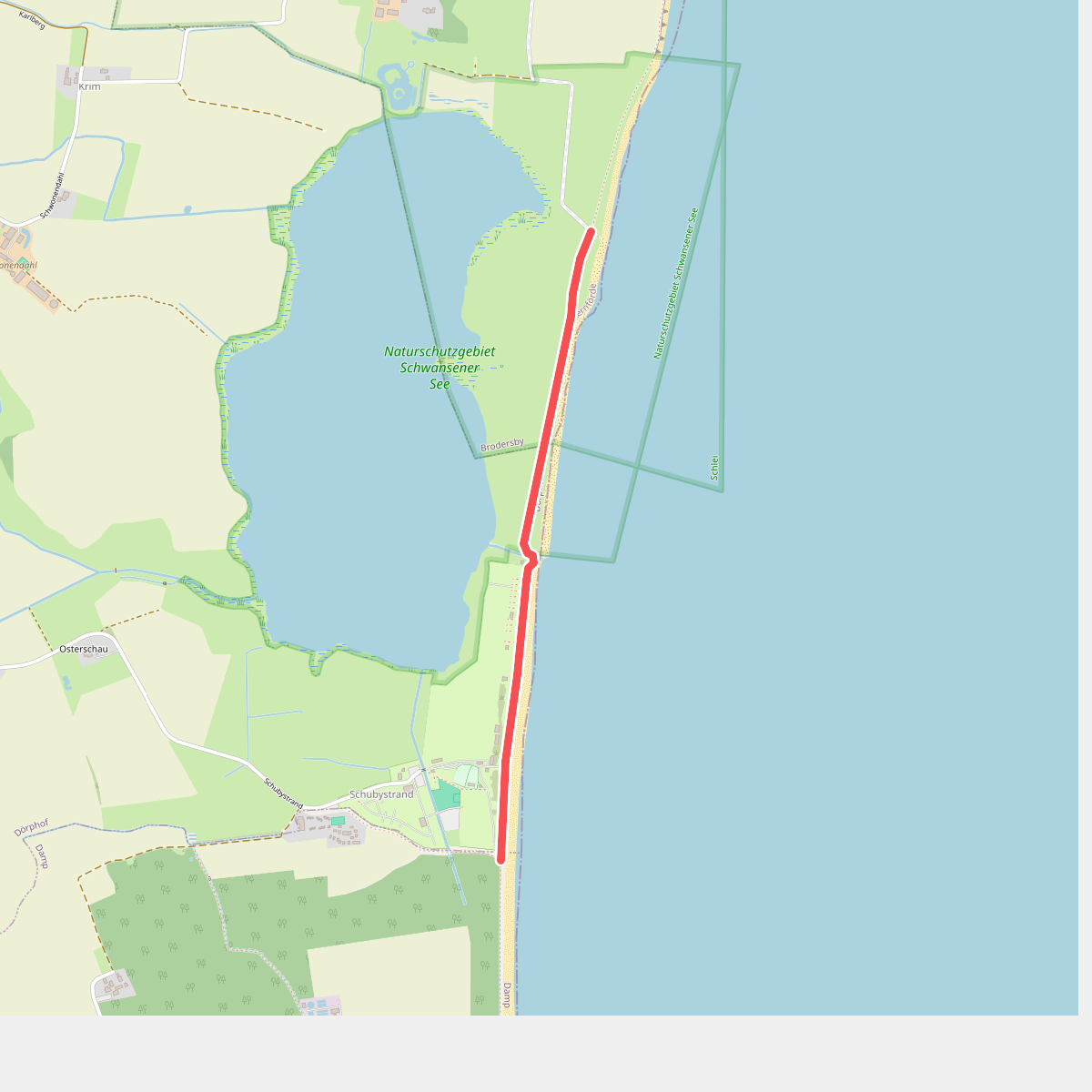
#4. Anbindung Damp-Schönhagen
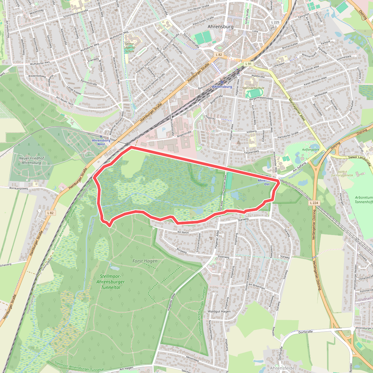
#5. Archäologisch-naturkundlicher Rundwanderweg 1
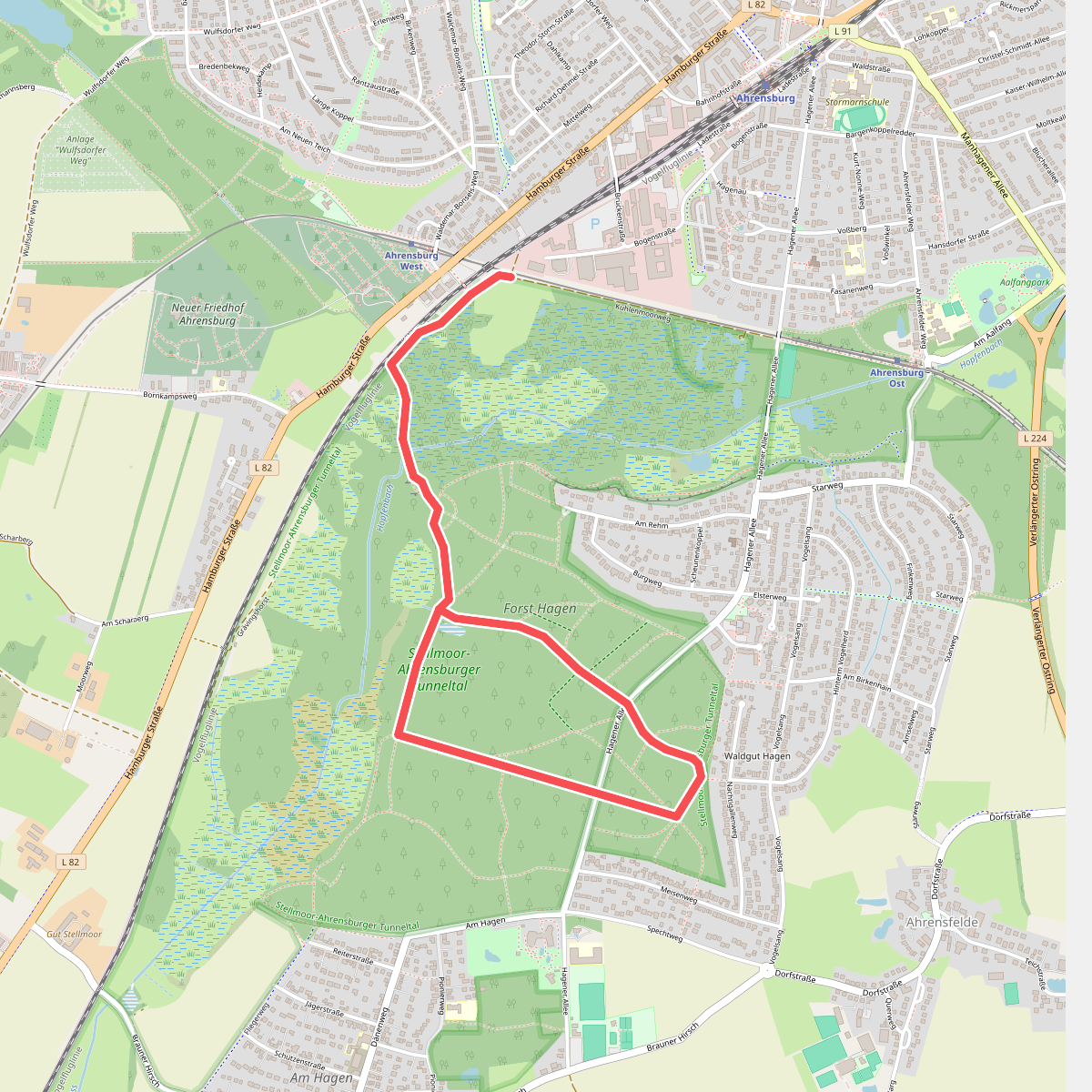
#6. Archäologisch-naturkundlicher Rundwanderweg 2
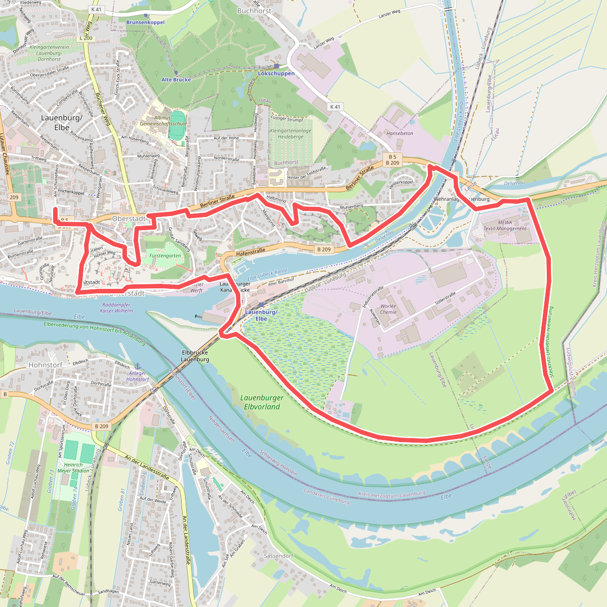
#7. Auenwanderweg
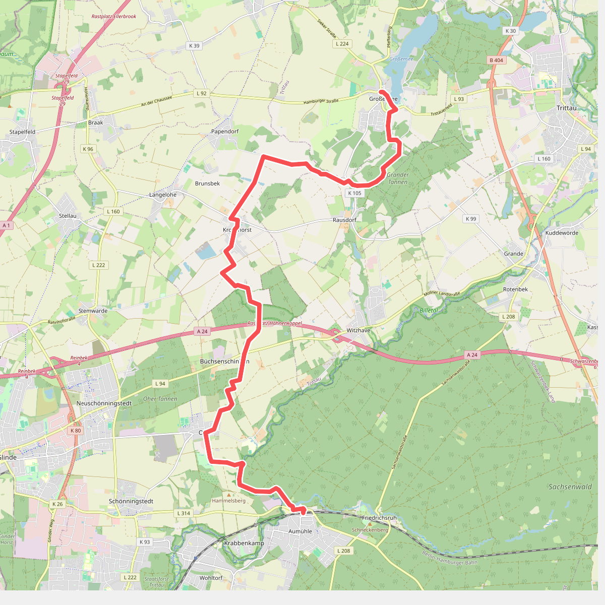
#8. Aumühle - Großensee (AU-GS)
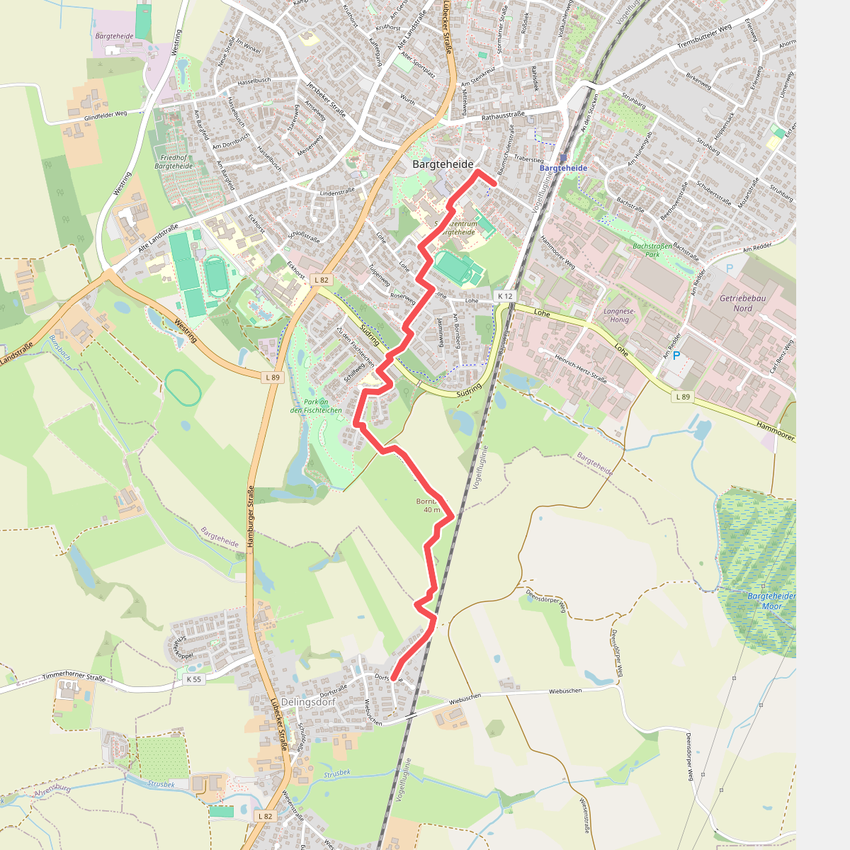
#9. Bargteheide-Delingsdorf
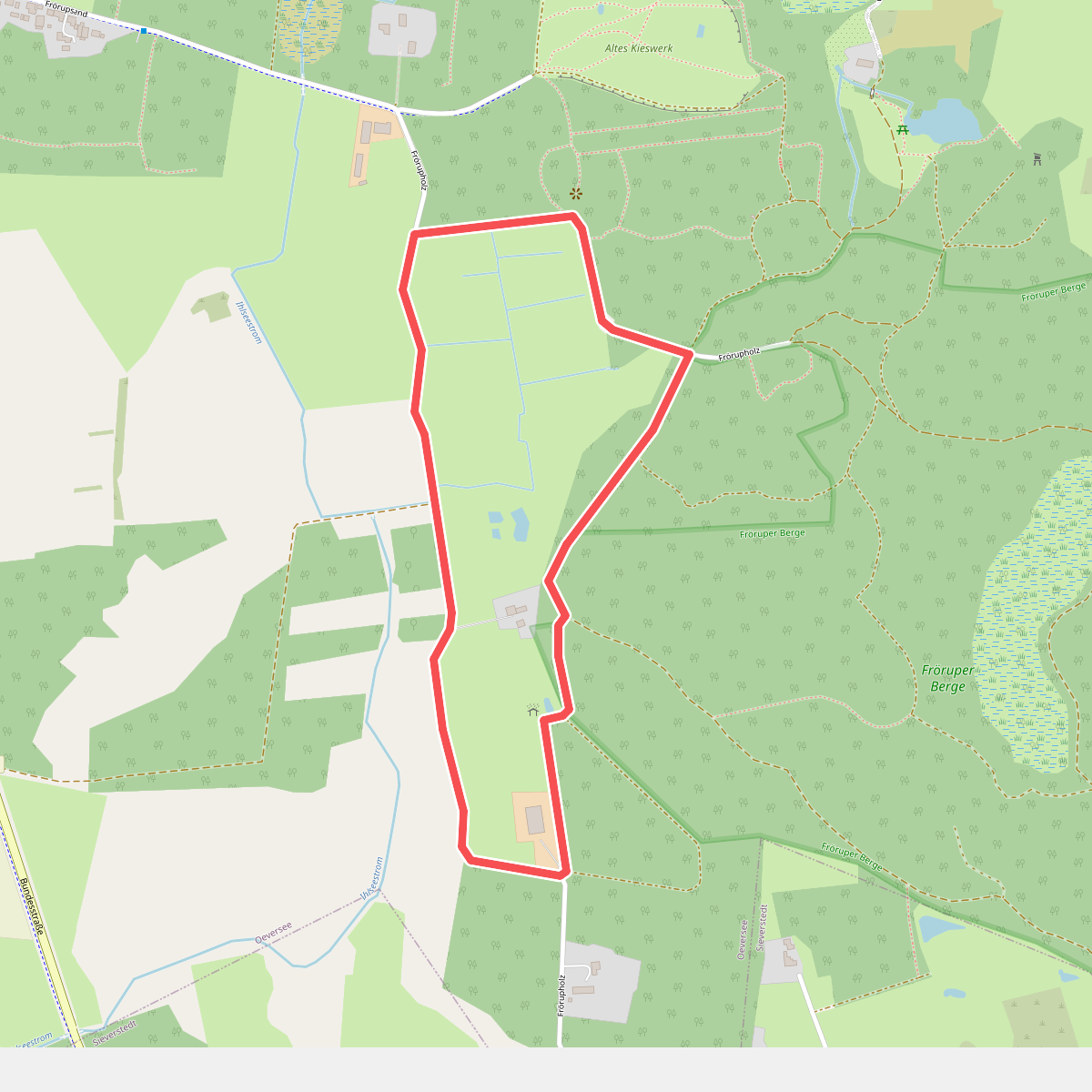
#10. Bekassinenweg
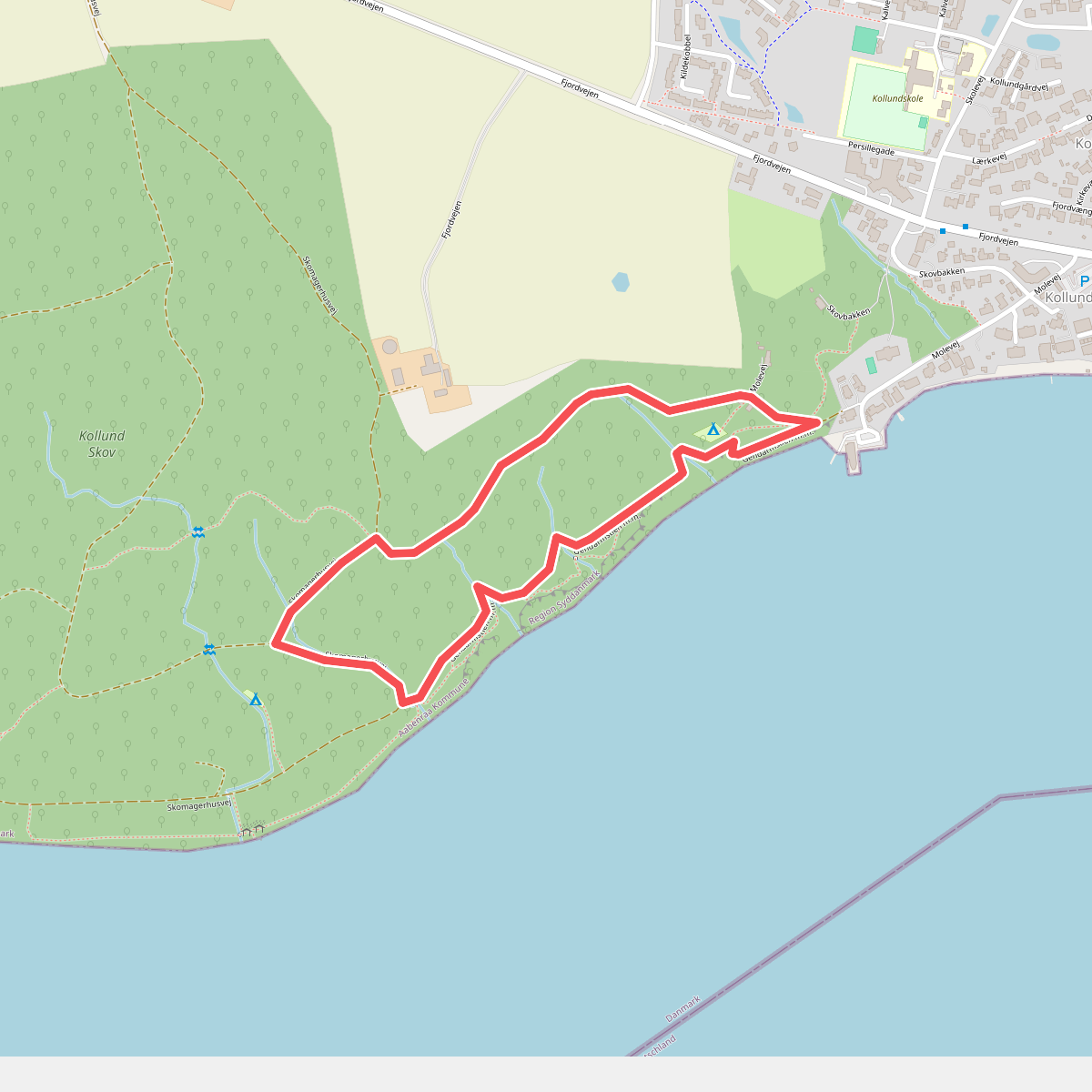
#11. Blå rute