

The best hiking routes in Salzburg
Discover the best walks in Salzburg. 155 routes on the map, with descriptions, photos and GPX.
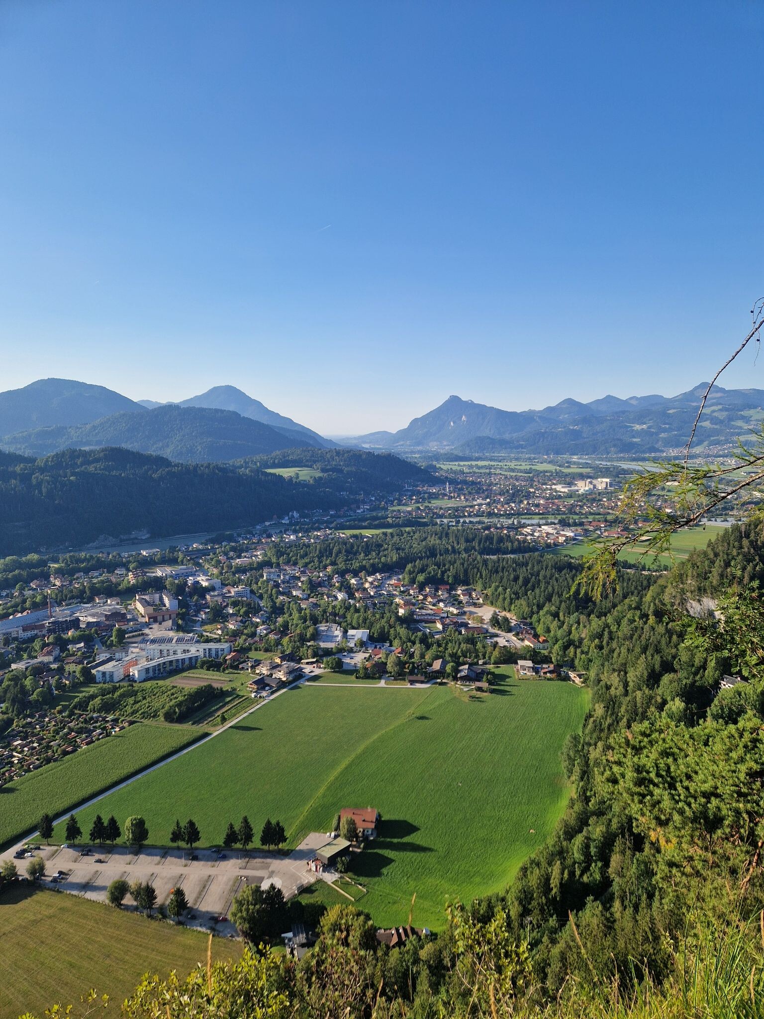
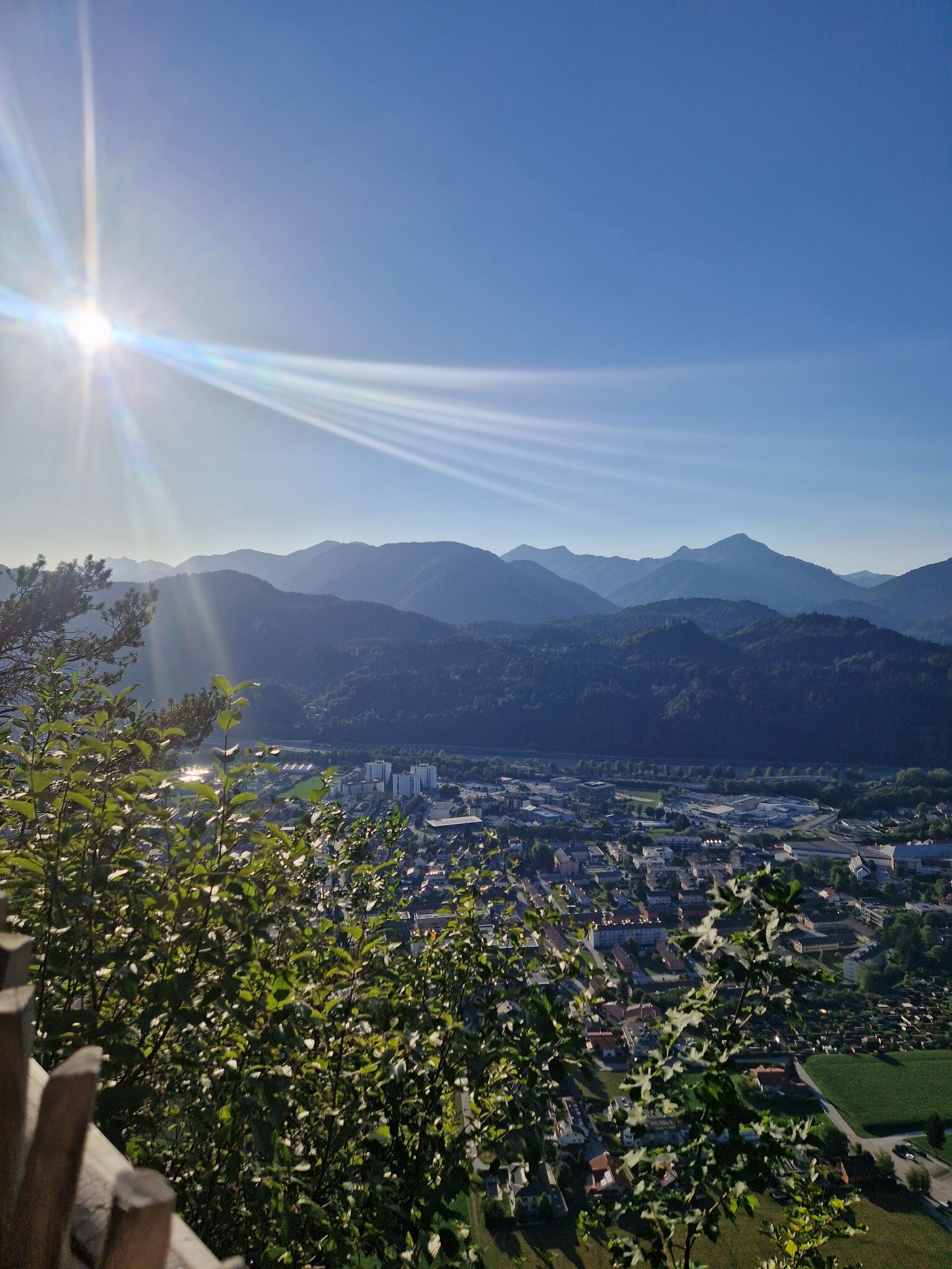
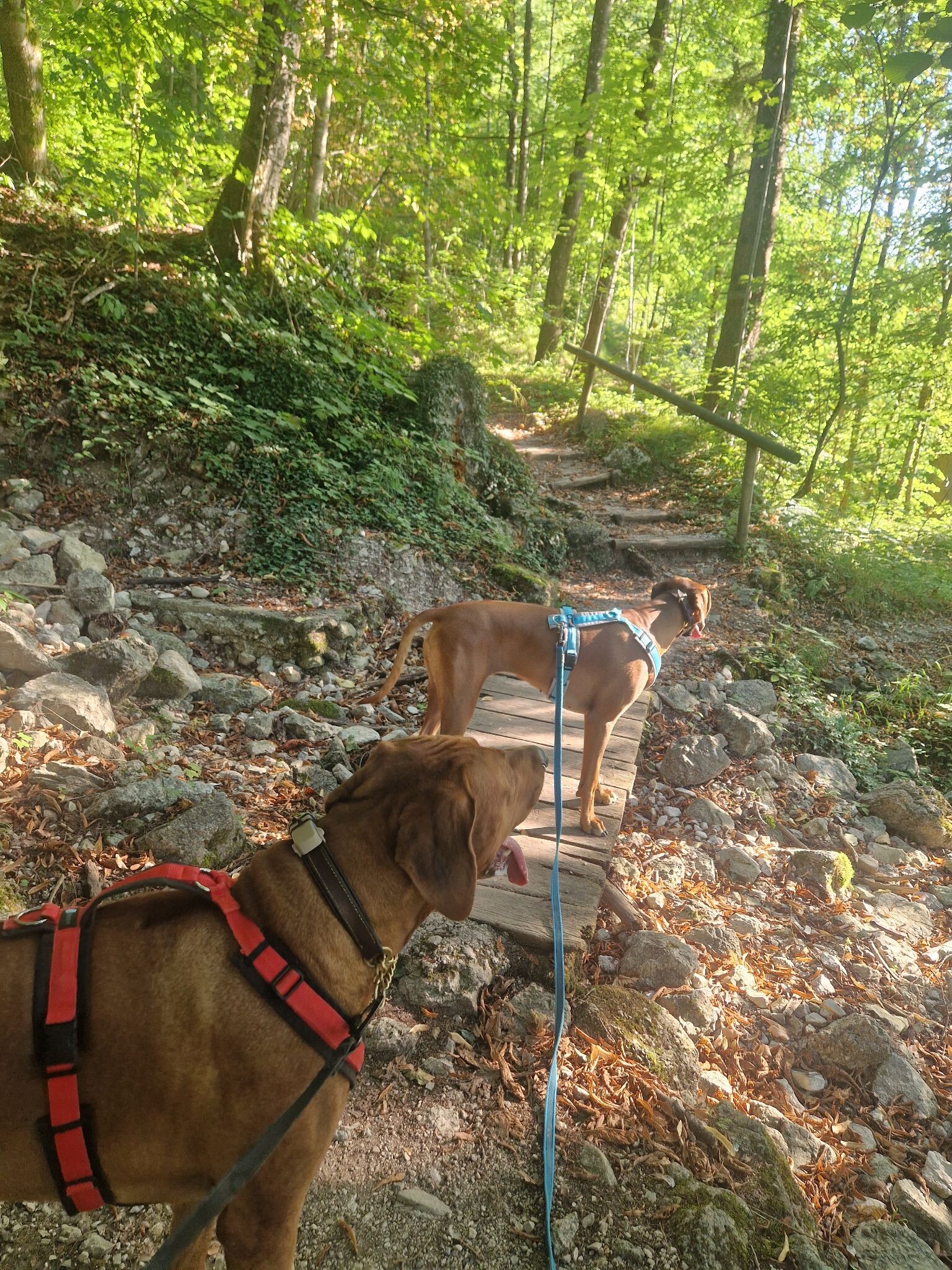
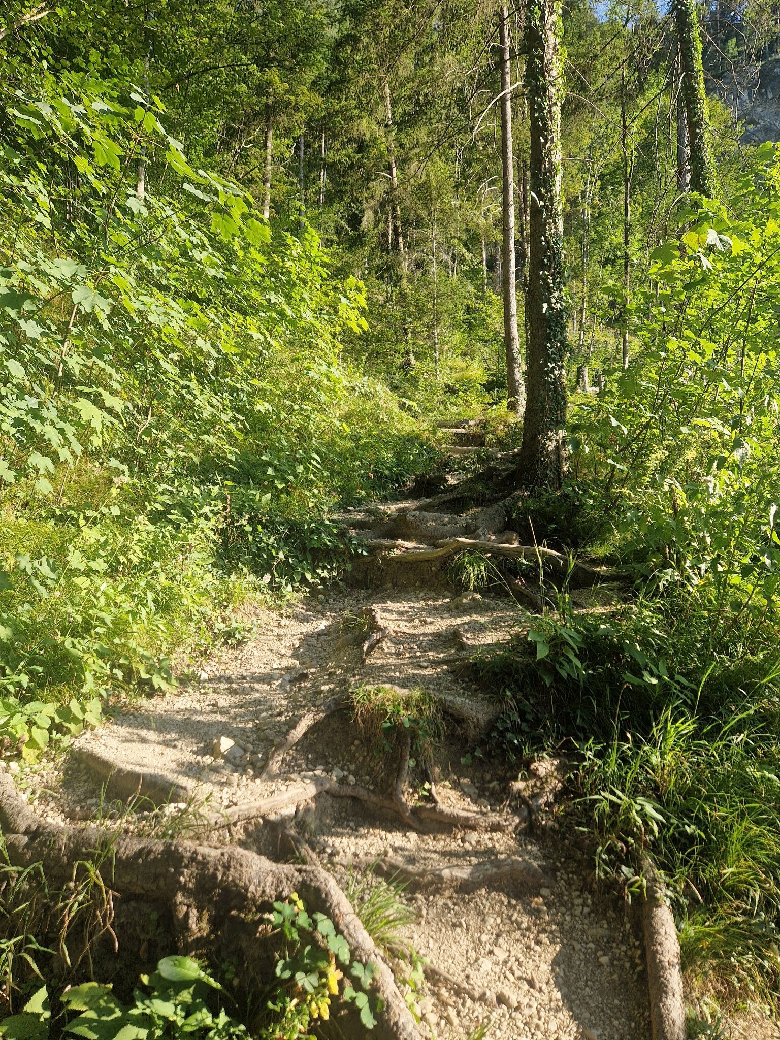
About Salzburg
Salzburg offers distinct walking landscapes that range from high-altitude alpine terrain to gentler forested valleys. If you seek rugged, high-elevation paths, the massive Nationalpark Hohe Tauern dominates the southern horizon with its steep granite slopes, glaciers, and rocky, gravel-strewn trails. In contrast, the limestone cliffs of Nationalpark Berchtesgaden along the German border present deep-cut gorges and sheer rock walls where paths are often narrow, stepped, and cut directly into the stone.
Read more
About Salzburg
Salzburg offers distinct walking landscapes that range from high-altitude alpine terrain to gentler forested valleys. If you seek rugged, high-elevation paths, the massive Nationalpark Hohe Tauern dominates the southern horizon with its steep granite slopes, glaciers, and rocky, gravel-strewn trails. In contrast, the limestone cliffs of Nationalpark Berchtesgaden along the German border present deep-cut gorges and sheer rock walls where paths are often narrow, stepped, and cut directly into the stone.
Read moreSalzburg offers distinct walking landscapes that range from high-altitude alpine terrain to gentler forested valleys. If you seek rugged, high-elevation paths, the massive Nationalpark Hohe Tauern dominates the southern horizon with its steep granite slopes, glaciers, and rocky, gravel-strewn trails. In contrast, the limestone cliffs of Nationalpark Berchtesgaden along the German border present deep-cut gorges and sheer rock walls where paths are often narrow, stepped, and cut directly into the stone.
For those who prefer quieter, less precipitous terrain, the eastern side of the region offers a softer landscape. The ESG Niedere Tauern features rolling, grass-covered ridges and earthy forest tracks that are less technically demanding than the high peaks to the west. Nearby, the Naturpark Sölktäler provides walks through managed alpine pastures and larch forests, where the underfoot conditions alternate between soft pine needles and damp meadow grass.
These differences stem from the underlying geology of the region. The grey limestone in the north drains quickly, leaving dry, stony paths, while the crystalline rock of the southern ranges holds water, feeding numerous streams and boggy patches along the trail. In October, the larch forests in the lower valleys turn a bright yellow, contrasting sharply with the grey rock above.
Nature areas in Salzburg
Zoom or pan for more routes
Hiking routes in Salzburg (155)
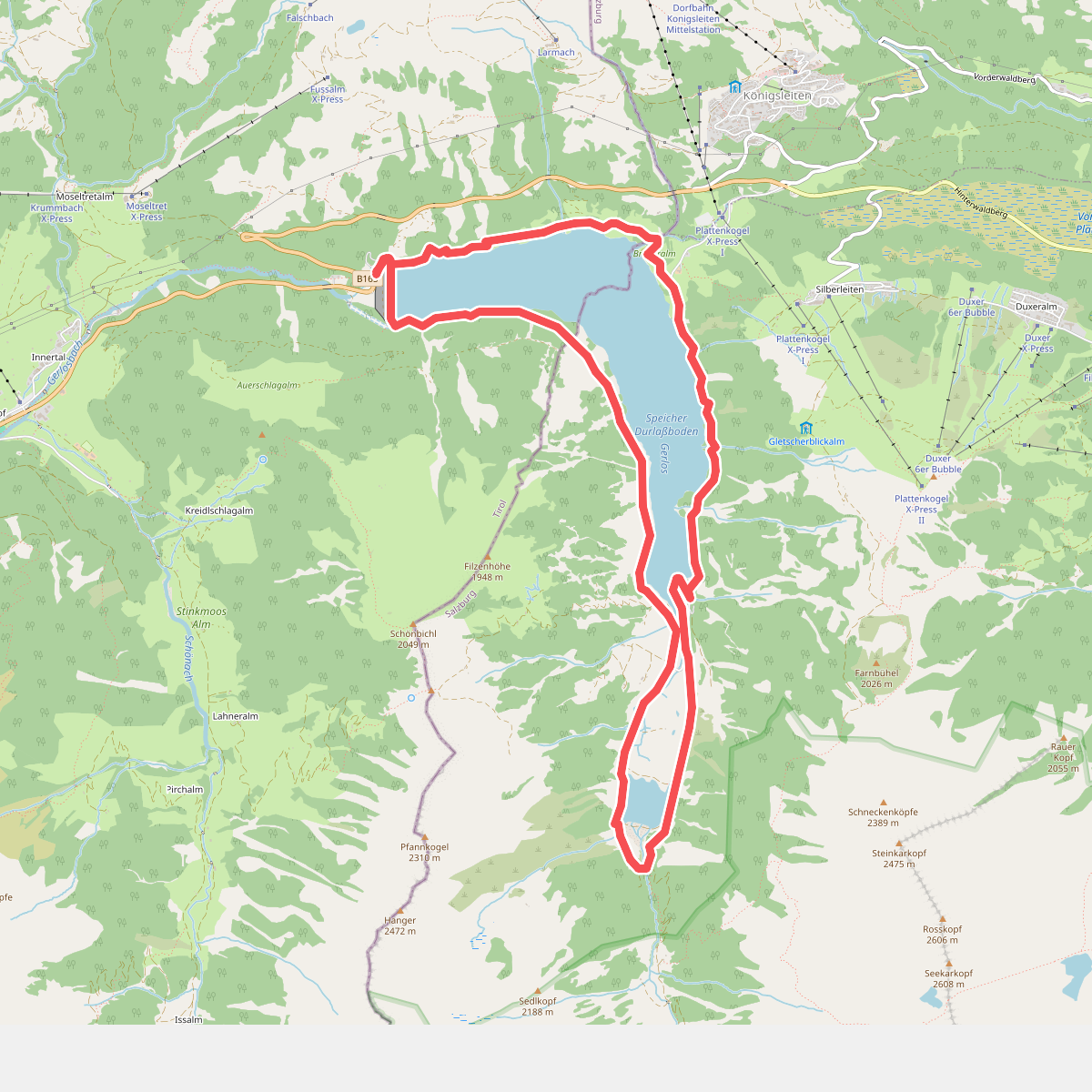
#1. Umrundung des Speichers Durlassboden
Gerlos,Krimml
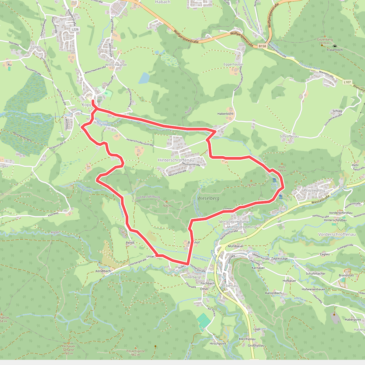
#2. Von Koppl über den Mühlenweg zur Plötz
Koppl,Ebenau,Hof bei Salzburg
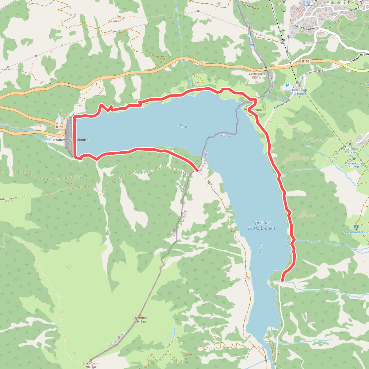
#3. 2-Seen-Runde
Krimml,Gerlos
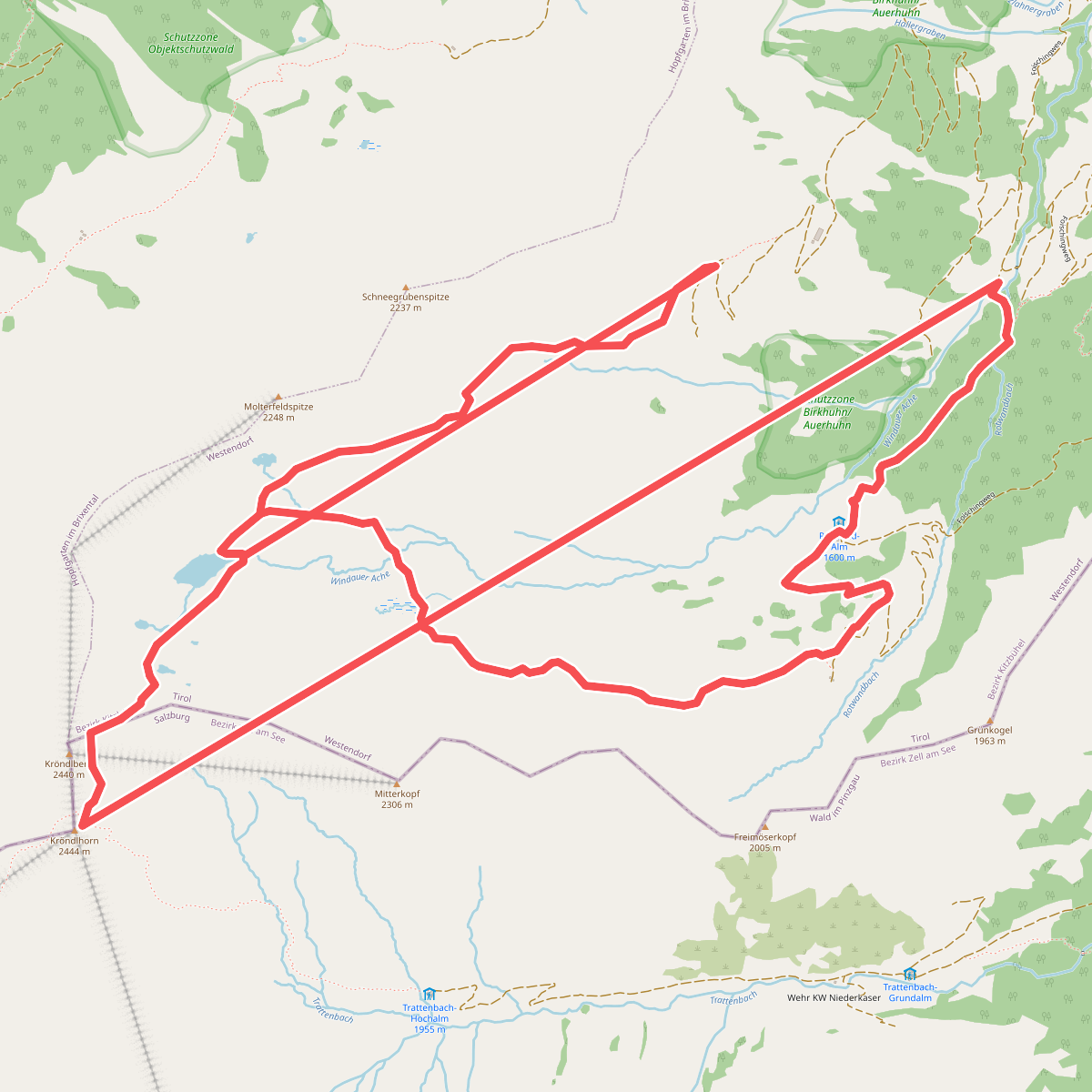
#4. 87
Westendorf,Wald im Pinzgau
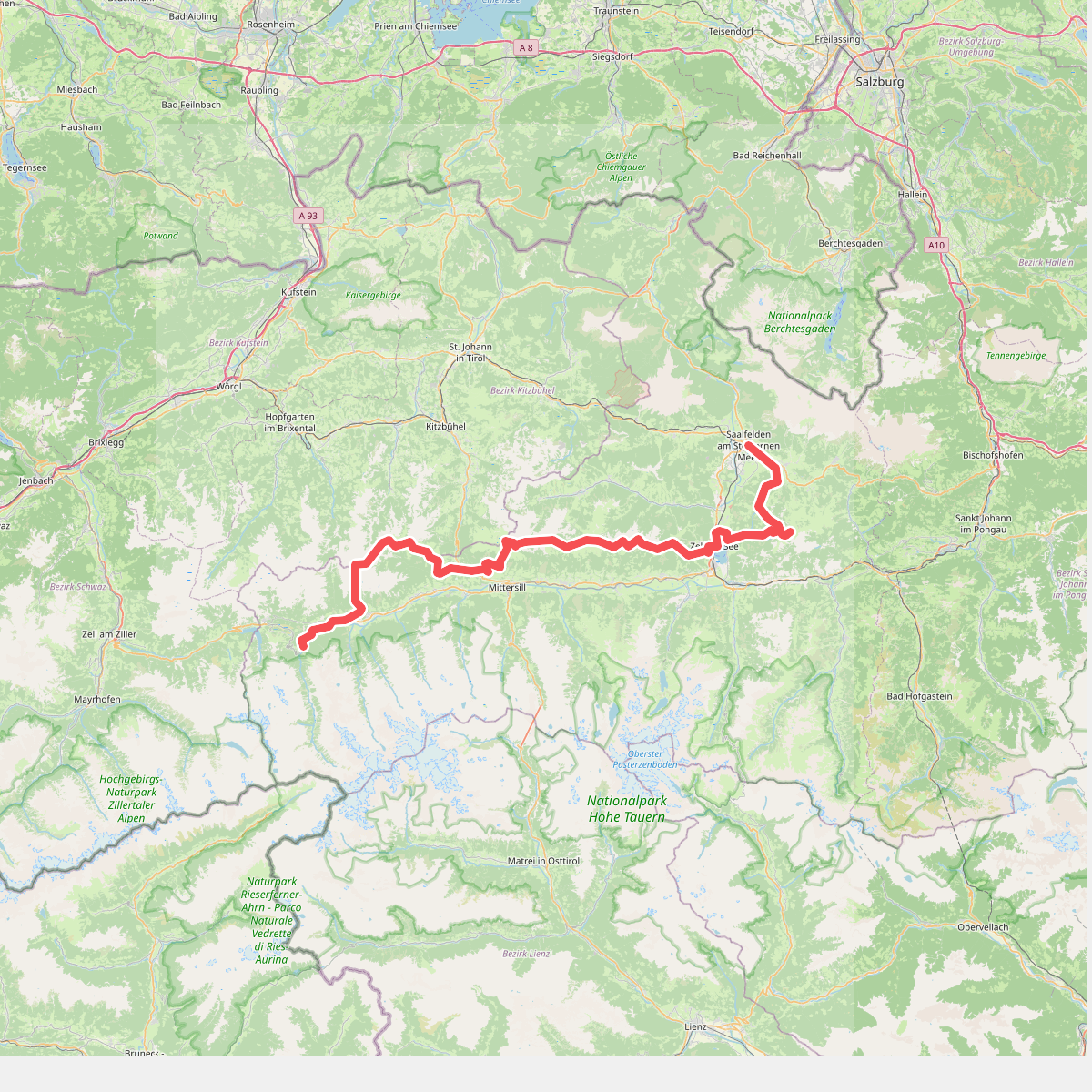
#5. Pinzgauer Grasberge – Arnoweg · Arnoweg etappe 2
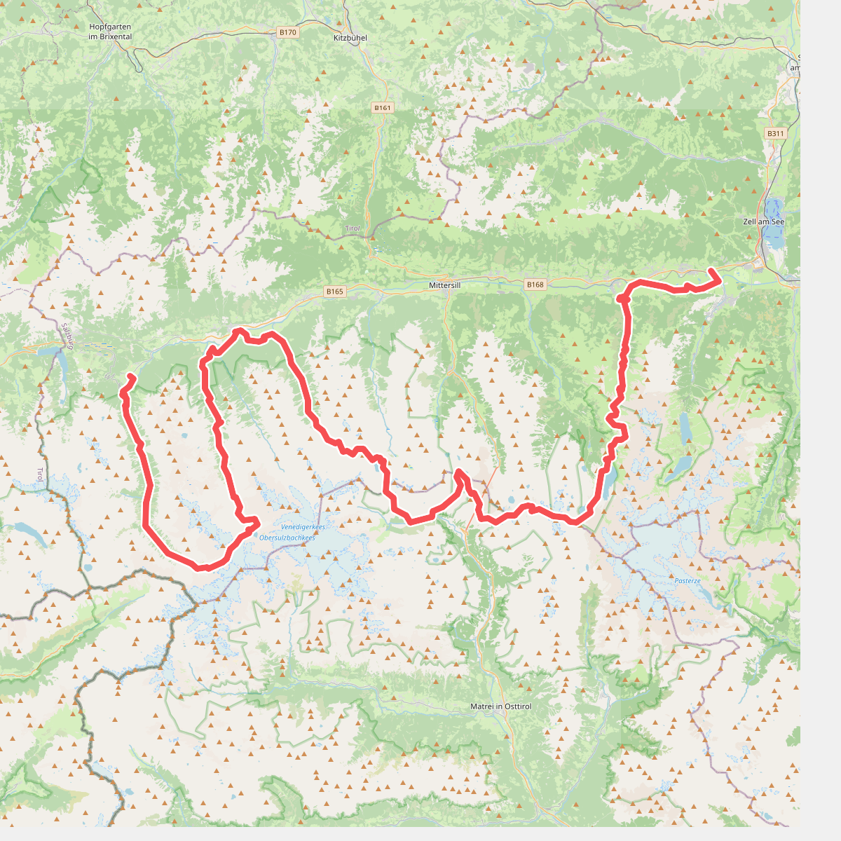
#6. (Deel 1): Keesberge – Arnoweg · Arnoweg etappe 3
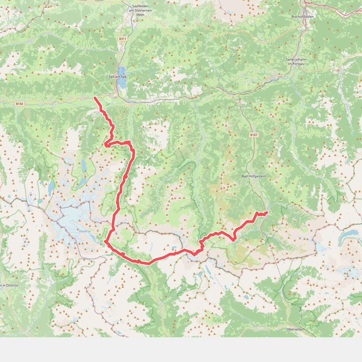
#7. (Deel 2): Keesberge – Arnoweg · Arnoweg etappe 4
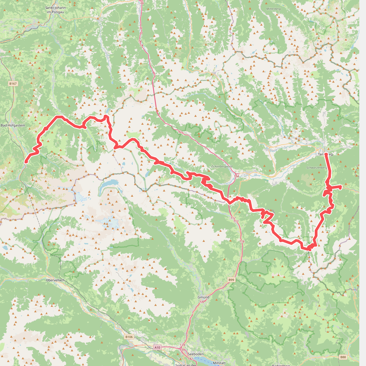
#8. Gras- en Nockberge – Arnoweg · Arnoweg etappe 5
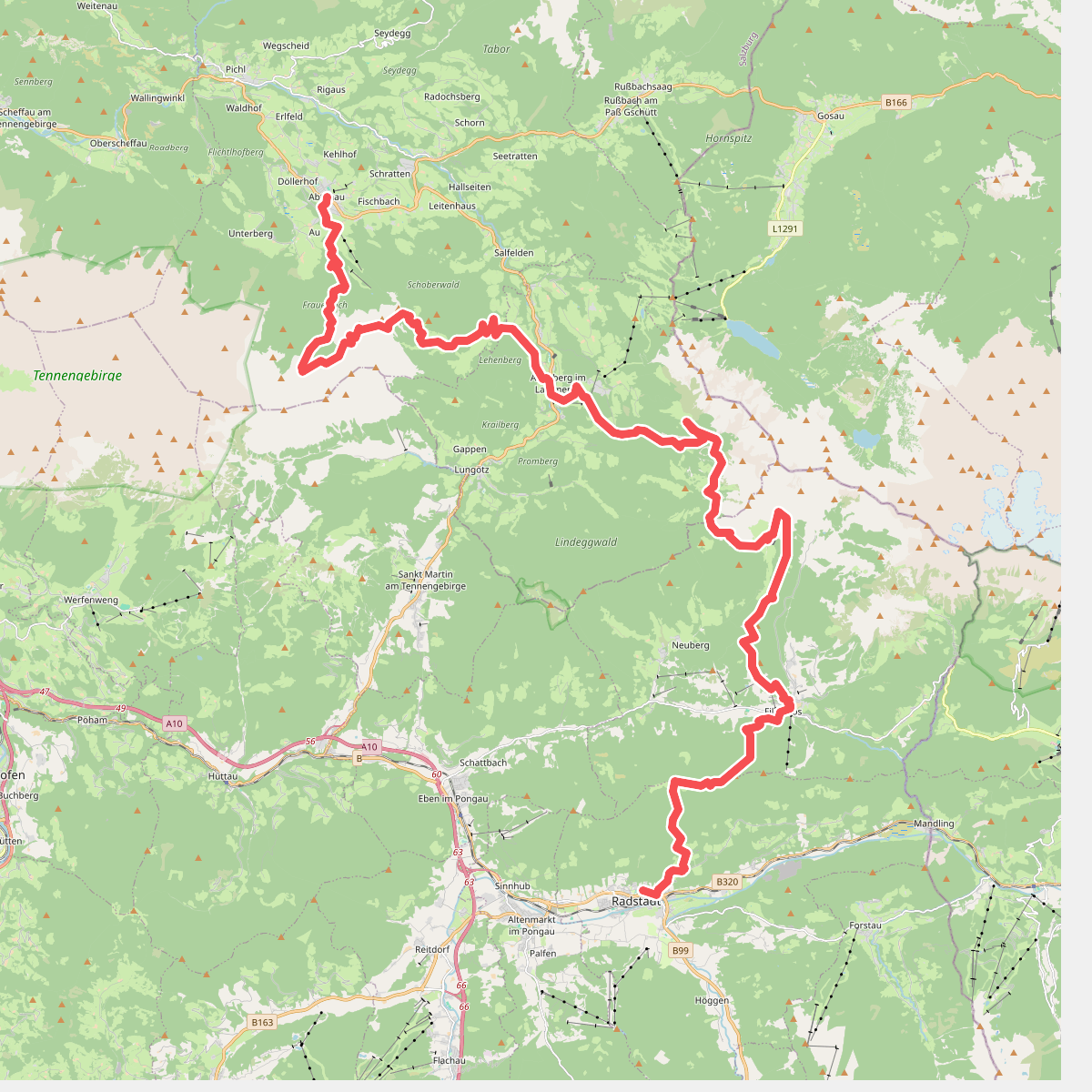
#9. Kalkbergen Oost - Arnoweg · Arnoweg etappe 7
Radstadt,Annaberg-Lungötz,Abtenau
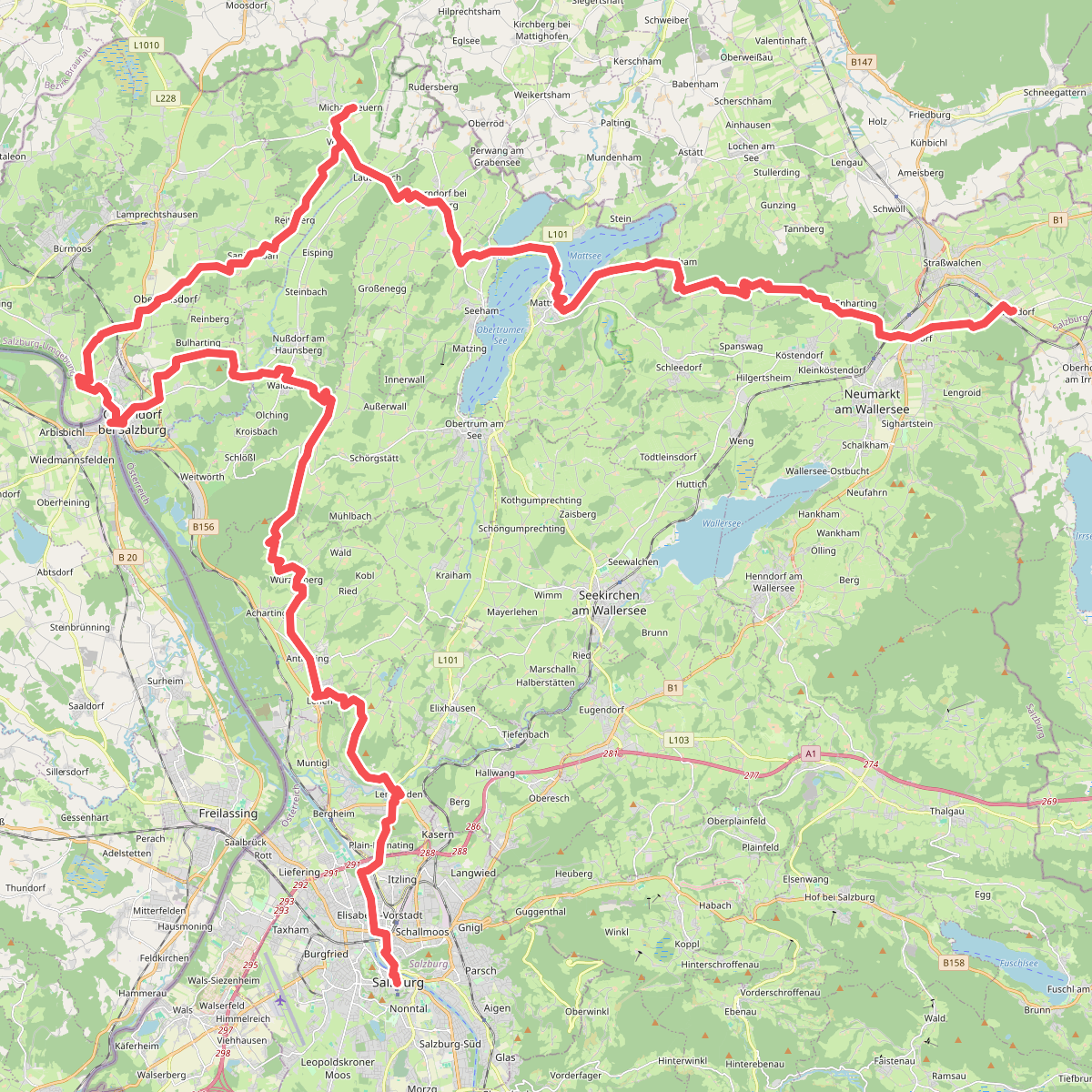
#10. Alpenvorland – Arnoweg · Arnoweg etappe 9
Straßwalchen,Köstendorf,Schleedorf,Lochen am See,Mattsee,Seeham,Berndorf bei Salzburg,Nußdorf am Haunsberg,Dorfbeuern,Lamprechtshausen,Oberndorf bei Salzburg,Laufen,Göming,Obertrum am See,Anthering,Bergheim,Salzburg
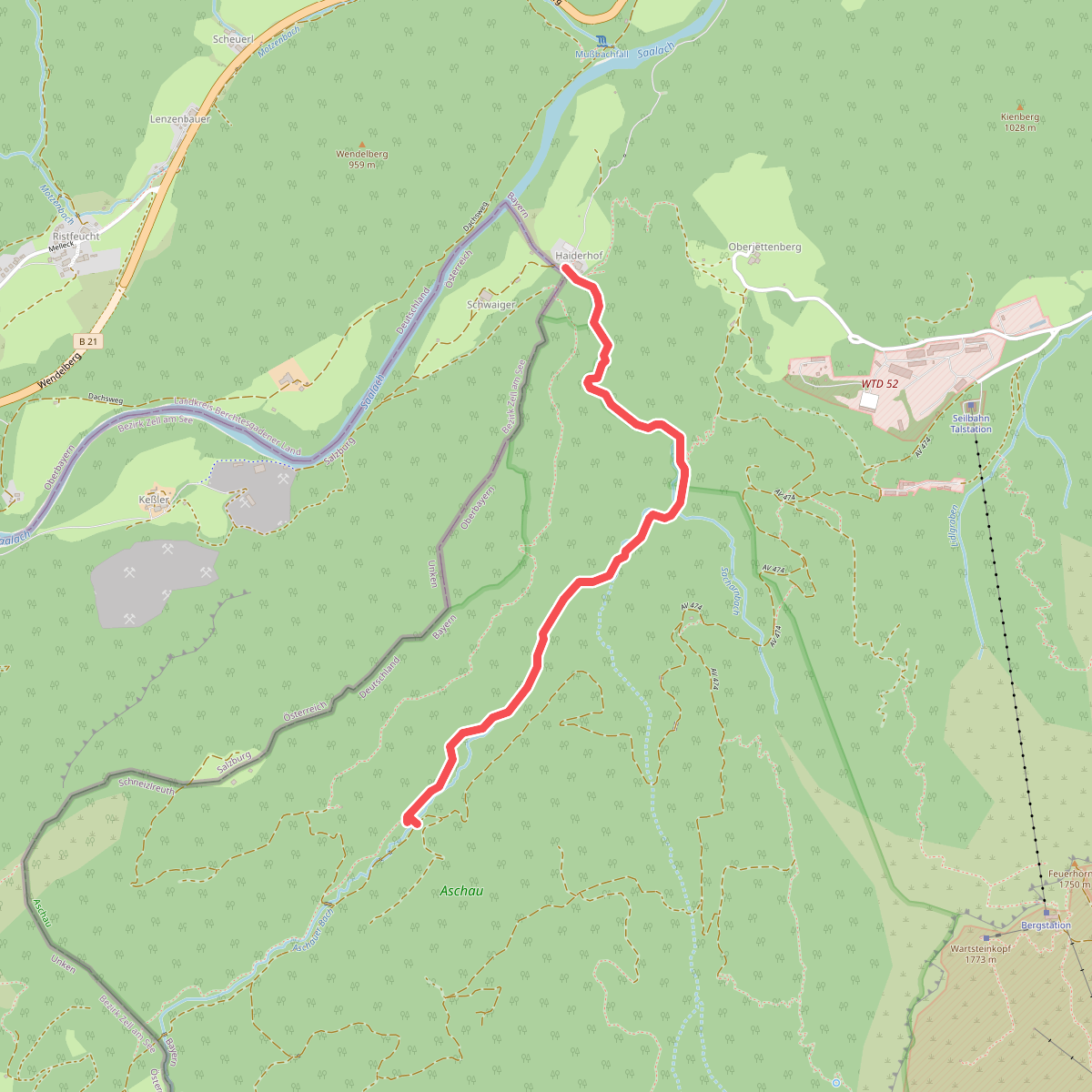
#11. Aschauer Klamm
Schneizlreuth
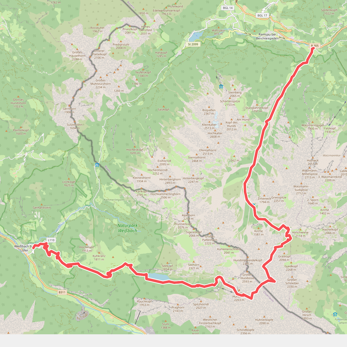
#12. AV Weg 411
Ramsau bei Berchtesgaden,Saalfelden am Steinernen Meer,Weißbach bei Lofer



