The best hiking routes in Saxony-Anhalt
Discover the best walks in Saxony-Anhalt. 658 routes on the map, with descriptions, photos and GPX.
About Saxony-Anhalt
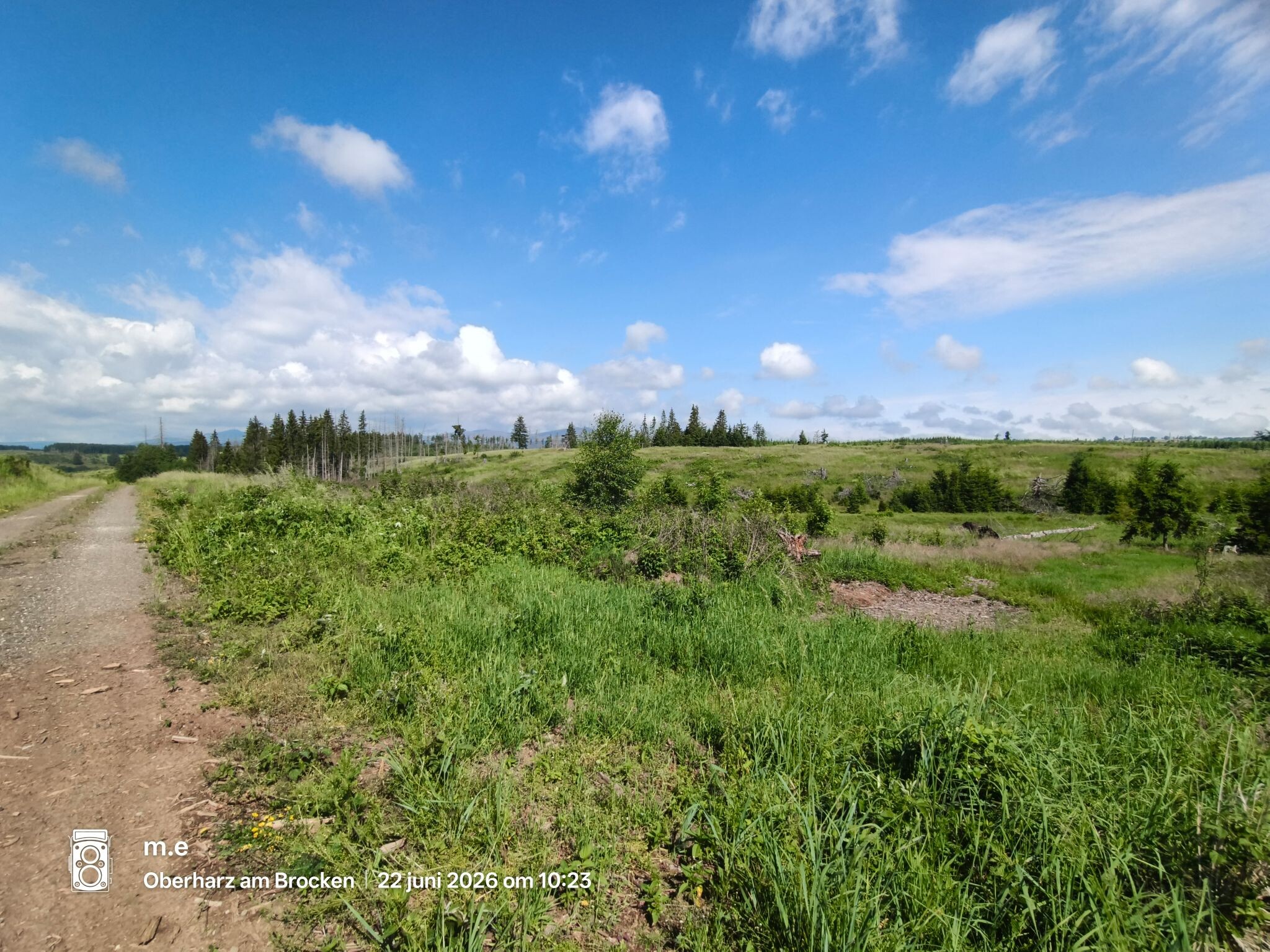
Saxony-Anhalt presents a sharp division between forested highlands and flat river plains. If you prefer steep climbs over granite rocks and through dark spruce forests, head to the Nationalpark Harz. Here, the paths are often stony and steep, shaped by forestry work and natural decay, leading up to cold, exposed ridges. In contrast, walking in the northern and eastern parts of the state means following flat, sandy tracks through pine woods and wide river meadows.
Read more
About Saxony-Anhalt
Saxony-Anhalt presents a sharp division between forested highlands and flat river plains. If you prefer steep climbs over granite rocks and through dark spruce forests, head to the Nationalpark Harz. Here, the paths are often stony and steep, shaped by forestry work and natural decay, leading up to cold, exposed ridges. In contrast, walking in the northern and eastern parts of the state means following flat, sandy tracks through pine woods and wide river meadows.
Read moreSaxony-Anhalt presents a sharp division between forested highlands and flat river plains. If you prefer steep climbs over granite rocks and through dark spruce forests, head to the Nationalpark Harz. Here, the paths are often stony and steep, shaped by forestry work and natural decay, leading up to cold, exposed ridges. In contrast, walking in the northern and eastern parts of the state means following flat, sandy tracks through pine woods and wide river meadows.
For a gentler, undulating landscape, the Naturpark Fläming/Sachsen-Anhalt and the adjacent Dübener Heide offer dry, sandy soils underfoot. These areas are dominated by managed pine and beech forests, where the terrain rises only slightly into low, gravelly hills left behind by ancient glaciers. You will notice the transition from agricultural fields to quiet, shaded woodland paths that are easy on the joints but offer little vertical challenge.
Along the Elbe river, the landscape flattens completely. In the Brandenburger Elbtalaue, the walking routes follow grassy dykes and alluvial clay paths. In April, these lowlands are defined by seasonal flooding and returning waterbirds, offering long views across wide pastures rather than enclosed woodland. It is a region for steady, rhythmic walking on level ground, where the main obstacles are drainage ditches and occasional muddy patches rather than steep climbs.
Nature areas in Saxony-Anhalt
Zoom or pan for more routes
Hiking routes in Saxony-Anhalt (658)
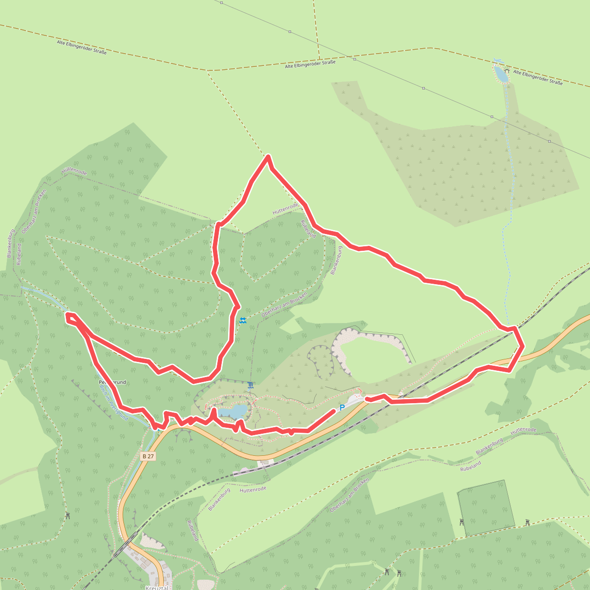
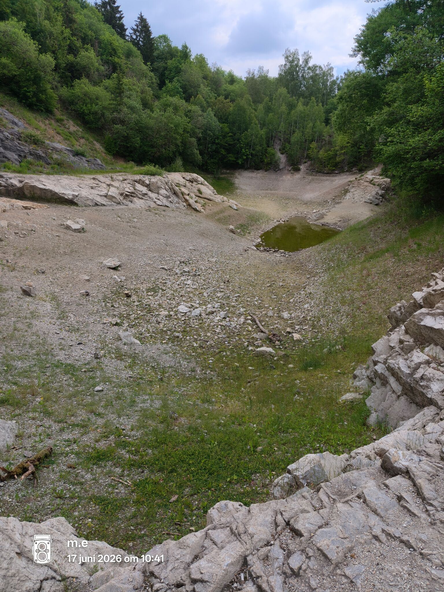
#1. Blauer see
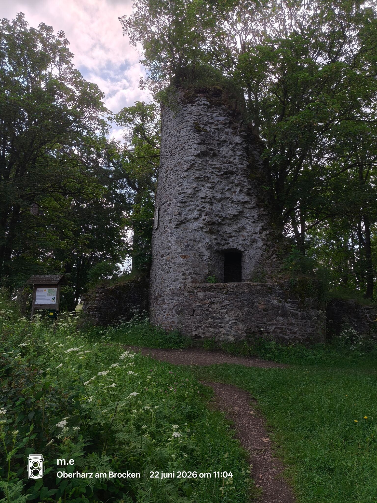
Blankenburg
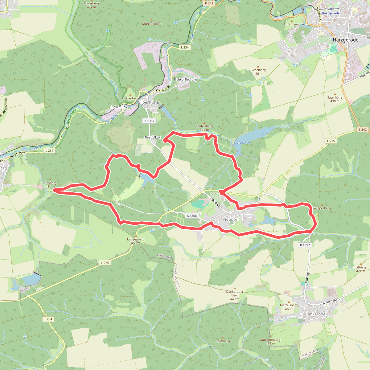
#2. Neudorfer historischer Bergbaurundwanderweg
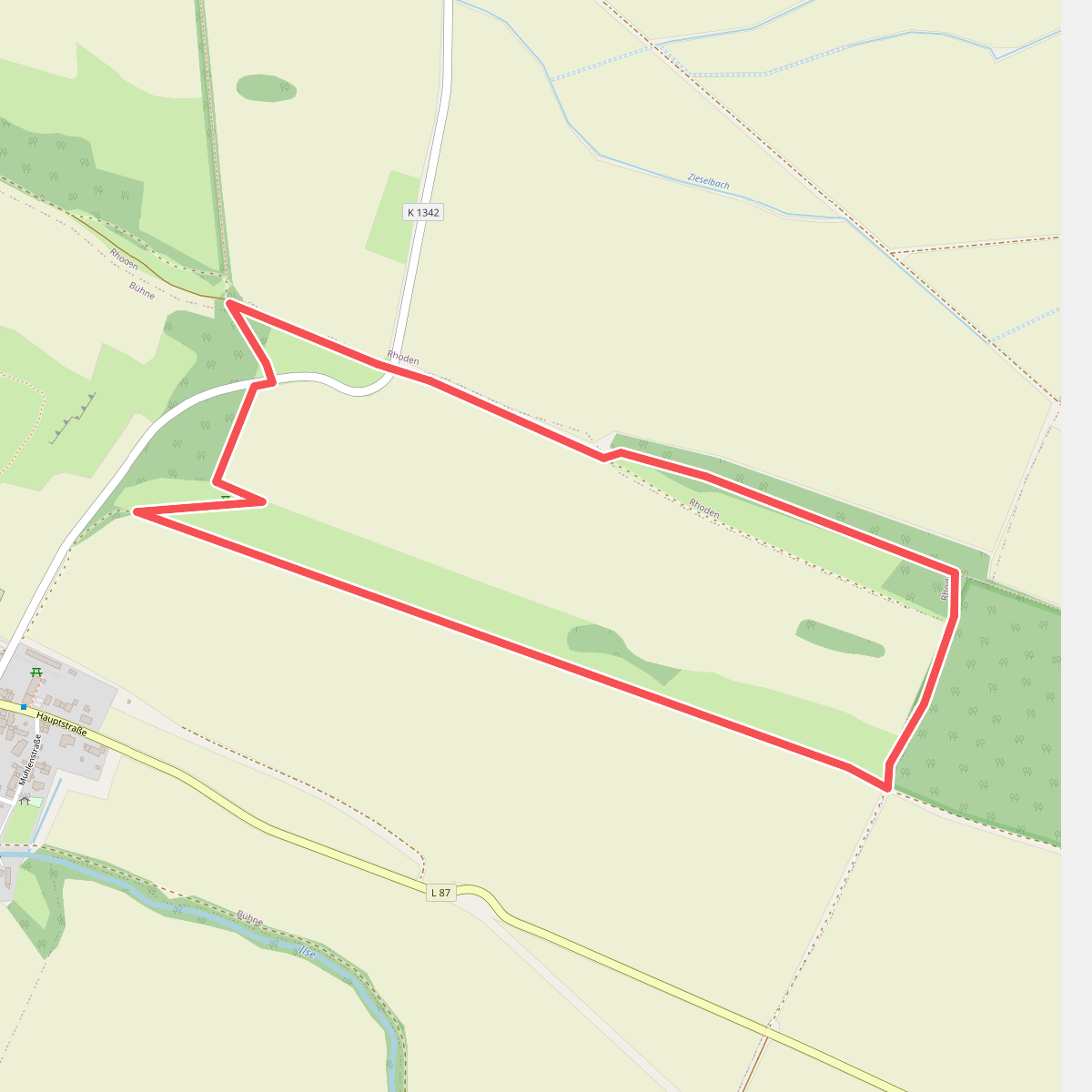
#3. Adonisröschen-Runde
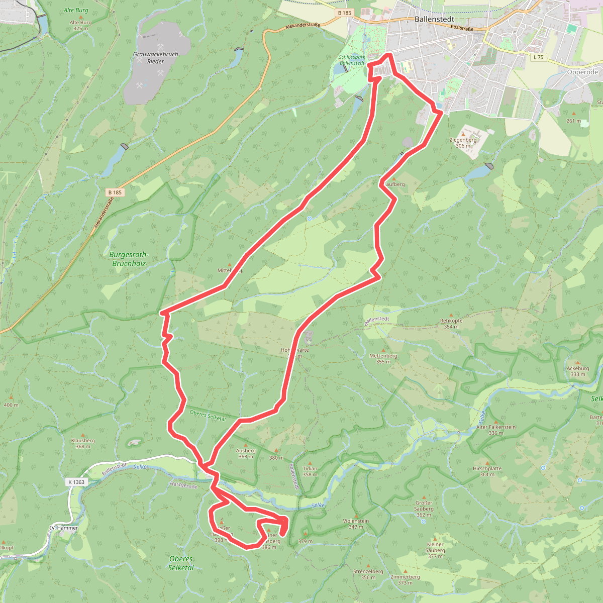
#4. Albrechtsweg
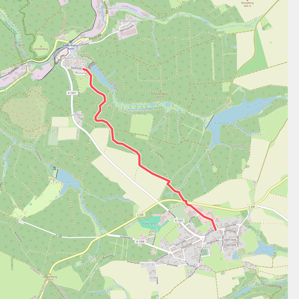
#5. Alte Bahnlinie
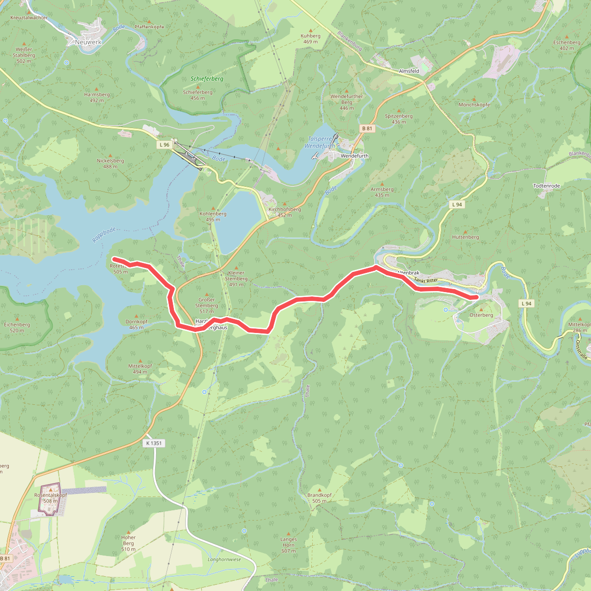
#6. Altenbrak - Aussichtpunkt Rote-Stein
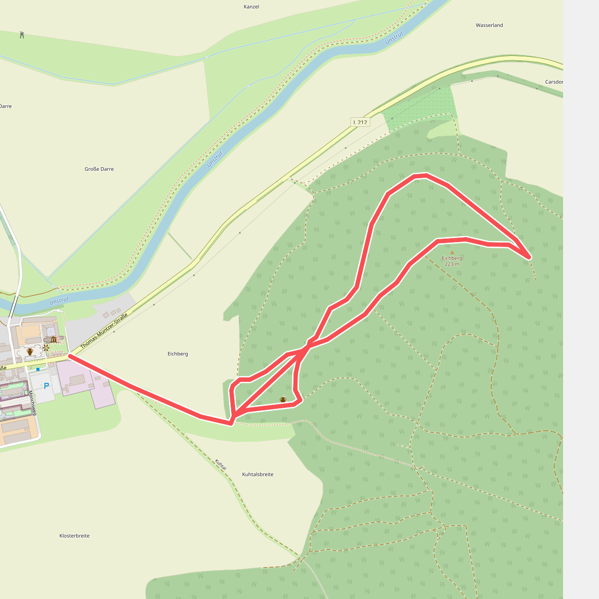
#7. Archäologisch-Historischer Wanderweg Memleben
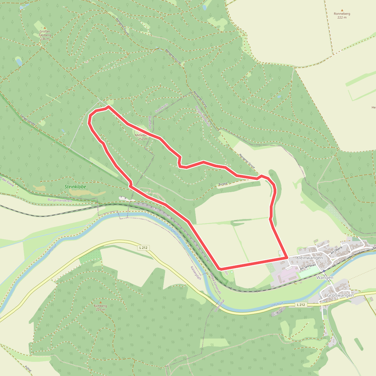
#8. Arche-Rundweg
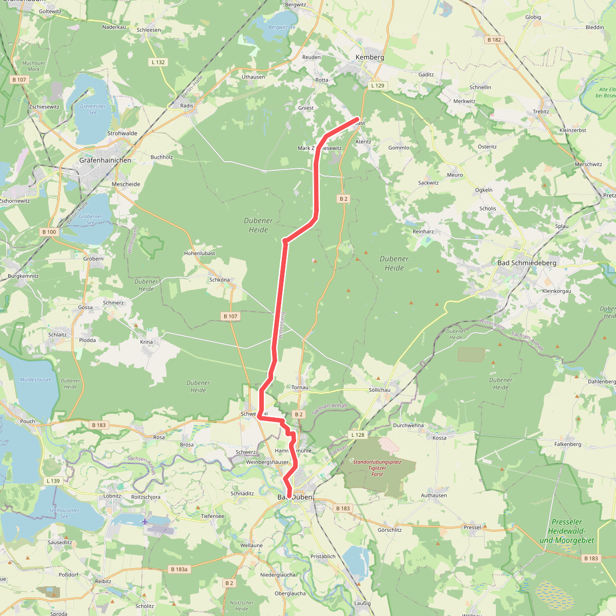
#9. Bad Düben - Kemberg
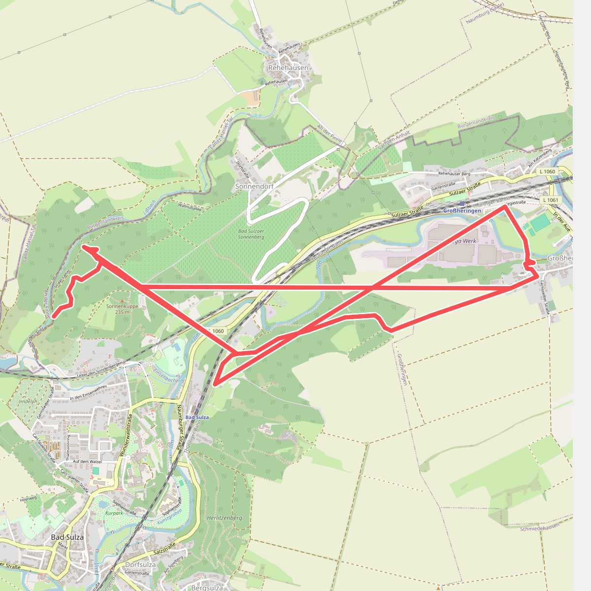
#10. Bad Sulza-Verbindunsgwege
#11. Bahnwanderweg