The best hiking routes in Pest
Discover the best walks in Pest. 5 routes on the map, with descriptions, photos and GPX.
About Pest
Pest offers a stark choice between the rugged, forested hills in the north and the flat, open plains of the Great Hungarian Plain to the south and east. In the north, Duna-Ipoly Nemzeti Park dominates the landscape with steep volcanic slopes, dense beech forests, and rocky clay paths that require sturdy footwear. Walking here means navigating elevation changes and shaded ravines, where the terrain is defined by the flow of the Danube River cutting through the hills. In contrast, the southern and eastern reaches, such as the Kiskunsági Nemzeti Park, Felső-Kiskunsági-puszta, present a completely flat landscape of sandy soils and alkaline grasslands.
Read more
About Pest
Pest offers a stark choice between the rugged, forested hills in the north and the flat, open plains of the Great Hungarian Plain to the south and east. In the north, Duna-Ipoly Nemzeti Park dominates the landscape with steep volcanic slopes, dense beech forests, and rocky clay paths that require sturdy footwear. Walking here means navigating elevation changes and shaded ravines, where the terrain is defined by the flow of the Danube River cutting through the hills. In contrast, the southern and eastern reaches, such as the Kiskunsági Nemzeti Park, Felső-Kiskunsági-puszta, present a completely flat landscape of sandy soils and alkaline grasslands.
Read morePest offers a stark choice between the rugged, forested hills in the north and the flat, open plains of the Great Hungarian Plain to the south and east. In the north, Duna-Ipoly Nemzeti Park dominates the landscape with steep volcanic slopes, dense beech forests, and rocky clay paths that require sturdy footwear. Walking here means navigating elevation changes and shaded ravines, where the terrain is defined by the flow of the Danube River cutting through the hills. In contrast, the southern and eastern reaches, such as the Kiskunsági Nemzeti Park, Felső-Kiskunsági-puszta, present a completely flat landscape of sandy soils and alkaline grasslands.
Underfoot, the experience shifts dramatically depending on your choice of direction. The trails in Duna-Ipoly NP are often stony and uneven, shaped by tree roots and water runoff, making them feel like classic mid-mountain hikes. Meanwhile, the Nyík-rét (Nagy-nádas) Tápió-Hajta Tájvédelmi Körzet offers flat, grassy tracks and boardwalks over marshy ground. This eastern reserve is characterized by wide-open pastures and reed beds, where the lack of topography allows you to see for miles across agricultural borders, though the paths can become muddy after autumn rains.
This region does not offer high alpine peaks or deep, dramatic gorges, but rather a transition from forested highlands to vast lowland pastures. The well-known spots closer to the Danube bend can be busier with day-trippers, while the quiet, sandy tracks of the southern plains are often much quieter. Choosing where to walk in Pest is a matter of deciding between the physical effort of climbing through the northern woods or the steady, level pacing required to cross the open grasslands.
Nature areas in Pest
Zoom or pan for more routes
Hiking routes in Pest (5)
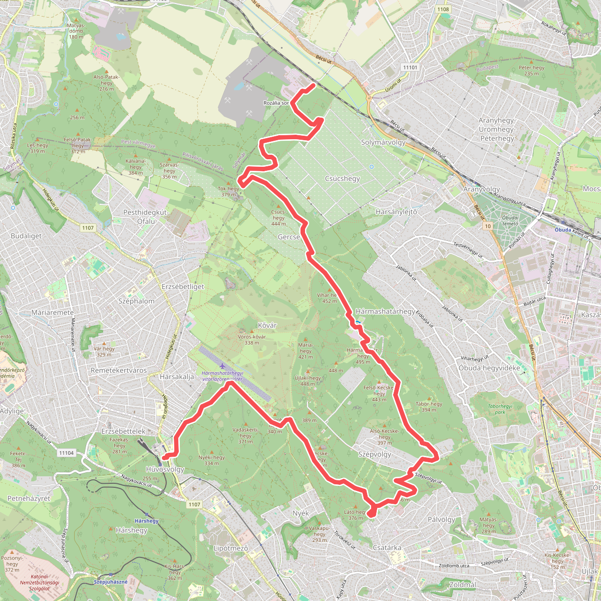
#1. K, OKT 14. (Hűvösvölgy – Hármashatár-hegy – Rozália téglagyár)
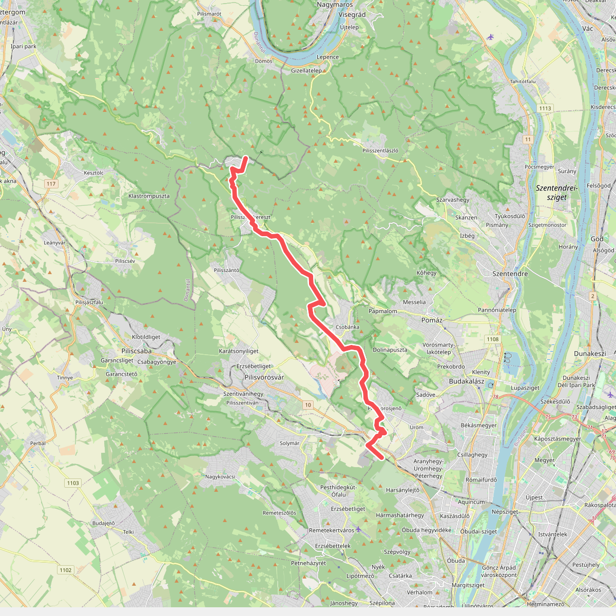
#2. K, OKT 15. (Rozália téglagyár – Pilisszentkereszt – Dobogókő)
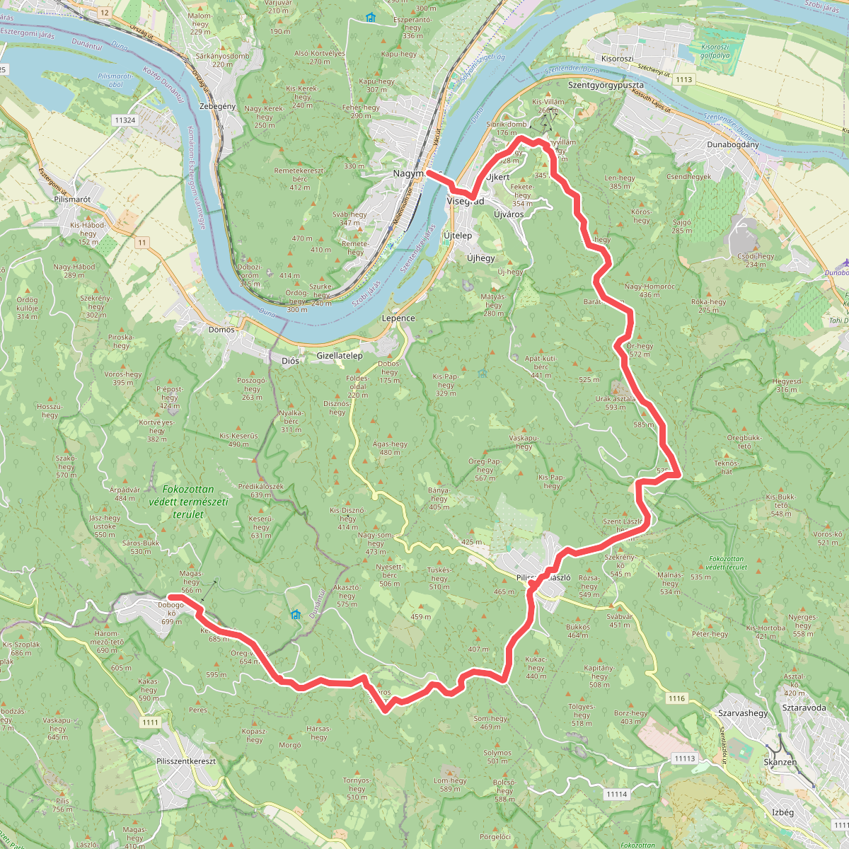
#3. K, OKT 16. (Dobogókő – Pilisszentlászló – Visegrád – Nagymaros, visegrádi rév)
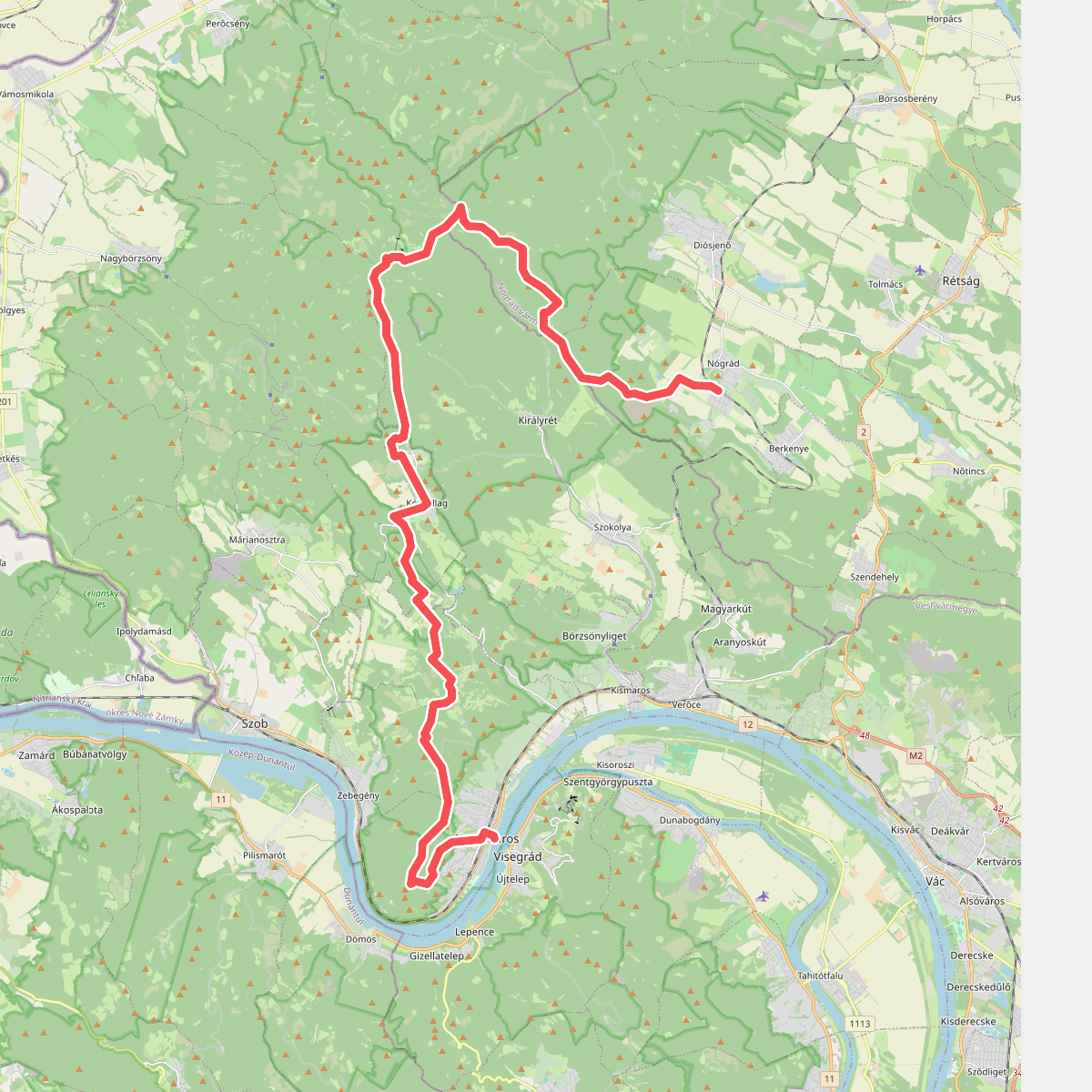
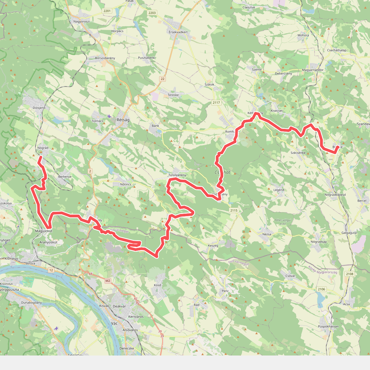
#4. K, OKT 17. (Nagymaros – Nógrád)