

The best hiking routes in Lower Saxony
Discover the best walks in Lower Saxony. 1417 routes on the map, with descriptions, photos and GPX.
About Lower Saxony
Lower Saxony offers two distinct walking landscapes: the sandy northern plains and the forested central uplands. In the north, the Naturpark Lüneburger Heide features flat, sandy tracks through heather and juniper scrubs, which turn purple in August. Nearby, the Naturpark Wildeshauser Geest is characterized by agricultural fields, small oak woods, and prehistoric stone graves. These northern areas are gently rolling or completely flat, meaning you will not find steep climbs or deep ravines here.
Read more
About Lower Saxony
Lower Saxony offers two distinct walking landscapes: the sandy northern plains and the forested central uplands. In the north, the Naturpark Lüneburger Heide features flat, sandy tracks through heather and juniper scrubs, which turn purple in August. Nearby, the Naturpark Wildeshauser Geest is characterized by agricultural fields, small oak woods, and prehistoric stone graves. These northern areas are gently rolling or completely flat, meaning you will not find steep climbs or deep ravines here.
Read moreLower Saxony offers two distinct walking landscapes: the sandy northern plains and the forested central uplands. In the north, the Naturpark Lüneburger Heide features flat, sandy tracks through heather and juniper scrubs, which turn purple in August. Nearby, the Naturpark Wildeshauser Geest is characterized by agricultural fields, small oak woods, and prehistoric stone graves. These northern areas are gently rolling or completely flat, meaning you will not find steep climbs or deep ravines here.
Further south, the terrain rises into forested ridges. The Naturpark Teutoburger Wald / Eggegebirge and the Naturpark Weserbergland offer walks along narrow limestone and sandstone crests. Underfoot, the paths change from soft forest soil to stony, root-crossed tracks. You will notice the geological history in the exposed rock formations and the steep beech-covered slopes that require steady footing, though they remain moderate hills rather than high mountains.
For the steepest climbs in the region, the Nationalpark Harz provides a different environment dominated by granite boulders, spruce forests, and high-altitude peat bogs. Boardwalks carry walkers over the wettest sections of the moors. While the well-known spots around the highest peaks attract more visitors, the deeper valleys offer quieter, rougher trails where forestry tracks give way to narrow, stony paths.
Nature areas in Lower Saxony
Zoom or pan for more routes
Hiking routes in Lower Saxony (1,417)
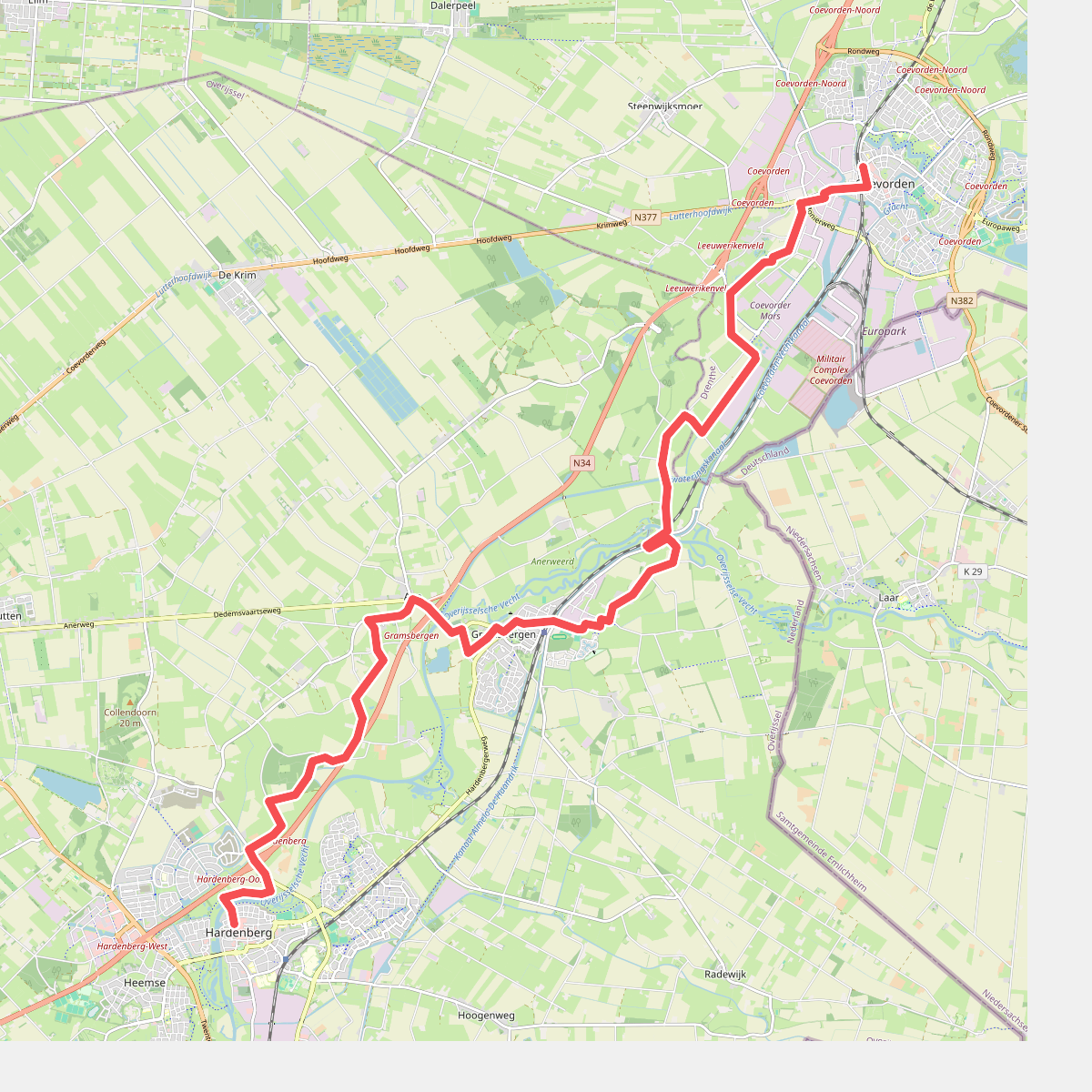
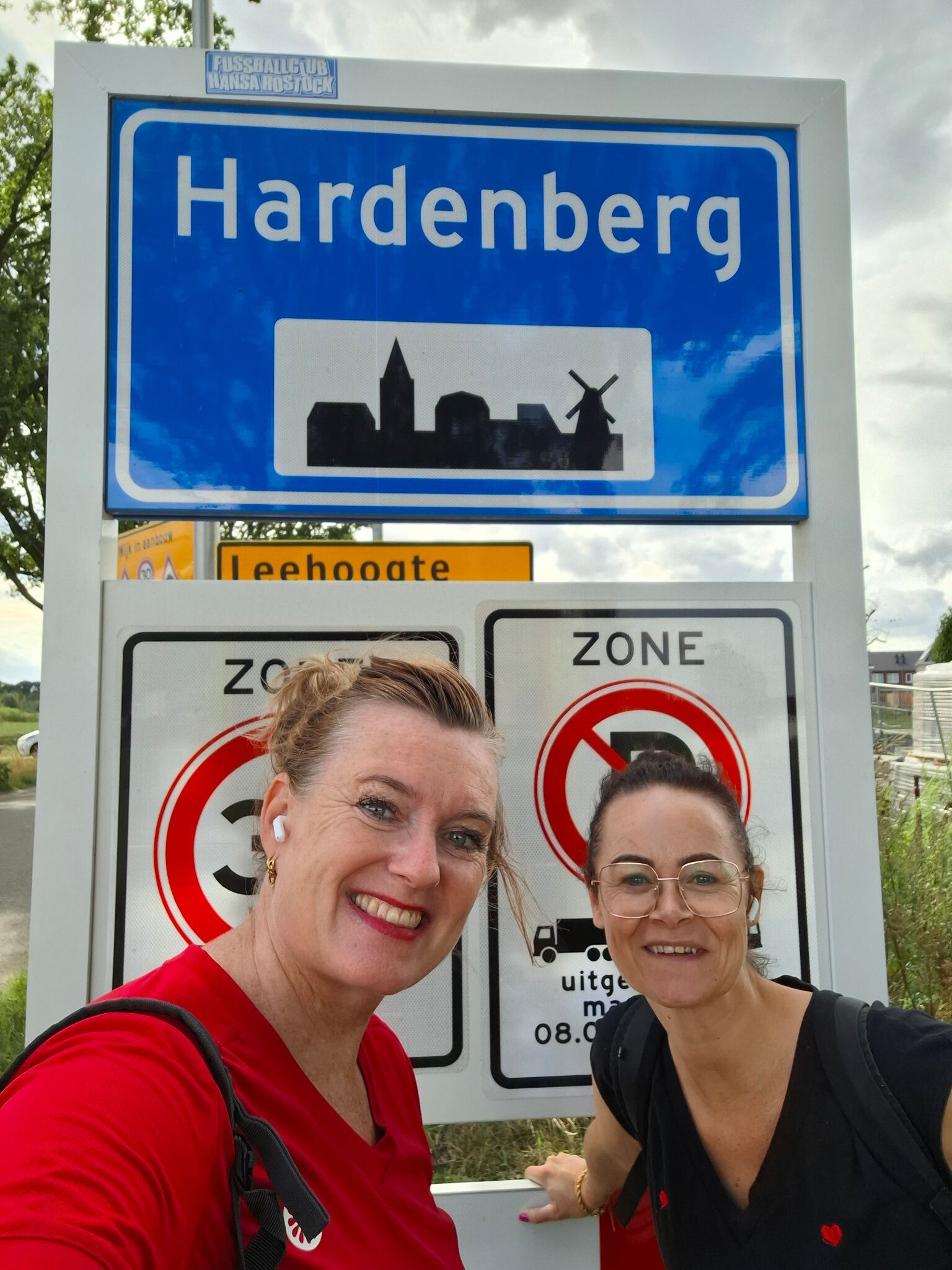
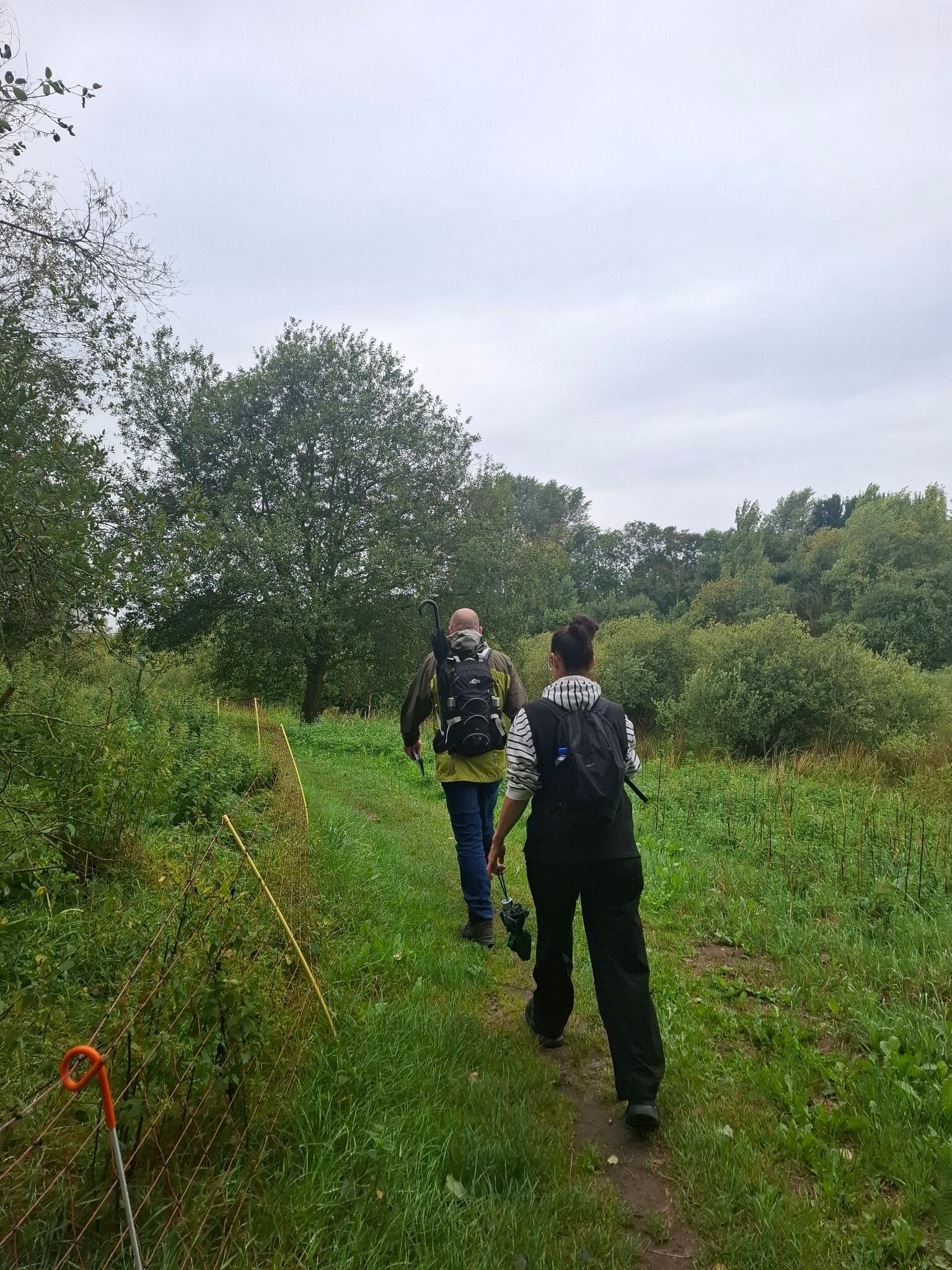
#1. Coevorden - Hardenberg · Pieterpad etappe 8
Coevorden,Holtheme,Gramsbergen,Ane,Anevelde,Collendoorn,Hardenberg
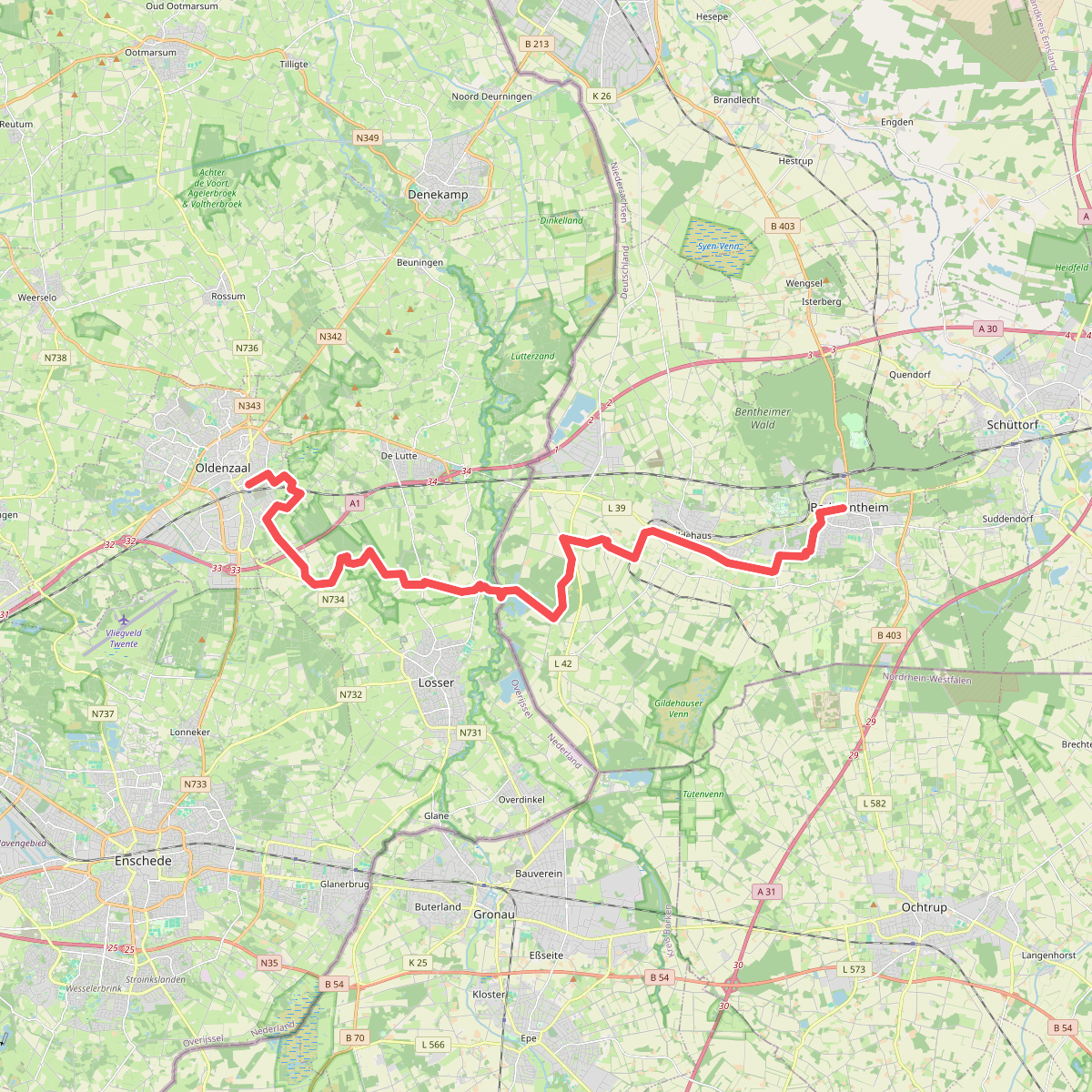
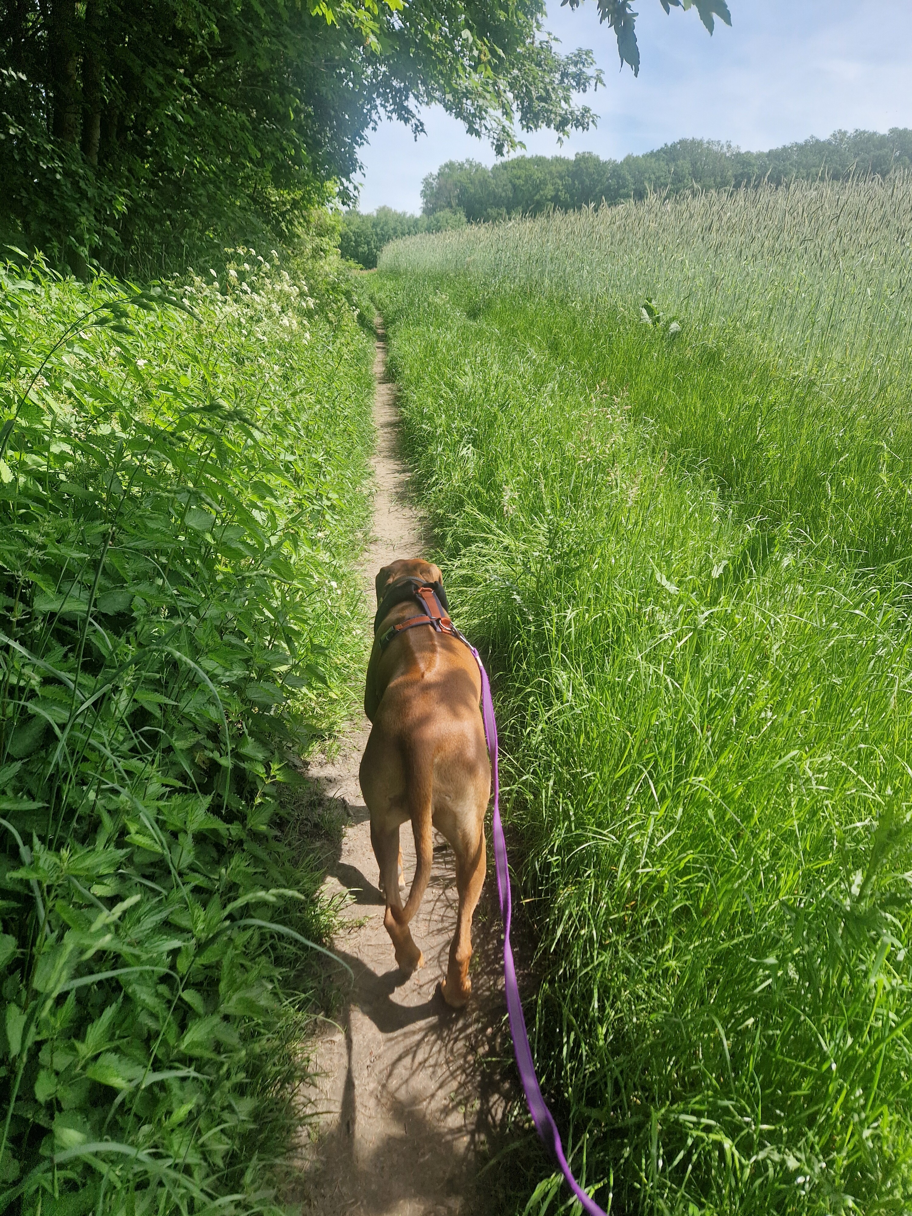
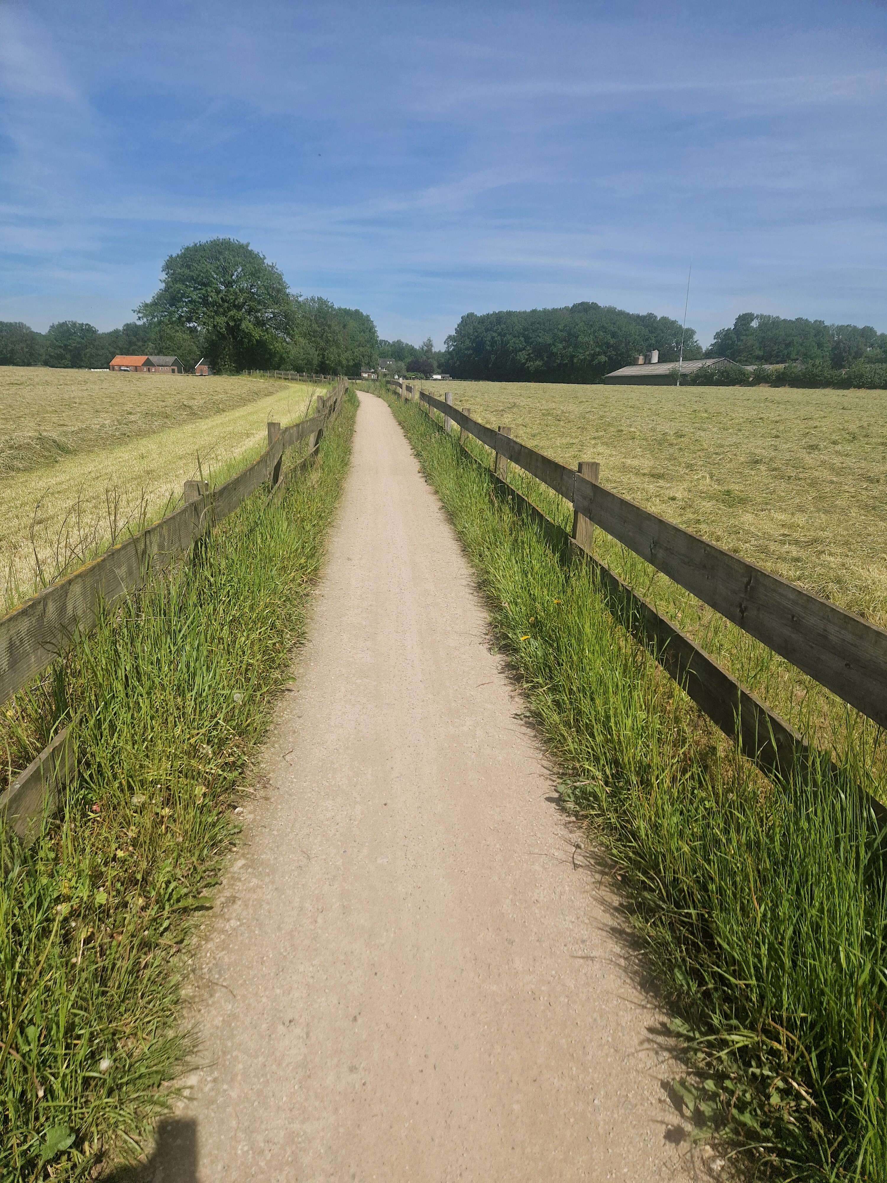
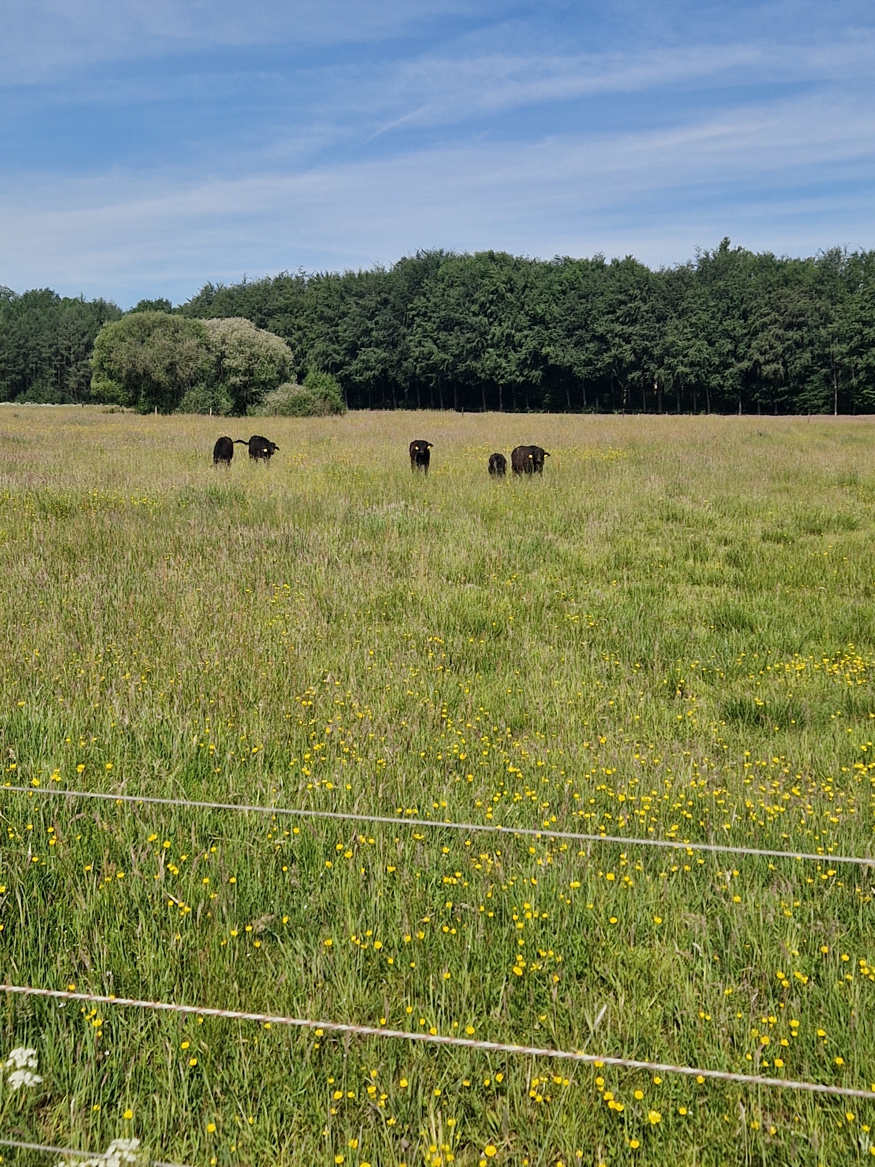
#2. Bad Bentheim - Oldenzaal · Marskramerpad etappe 1
Oldenzaal,de Lutte,Losser
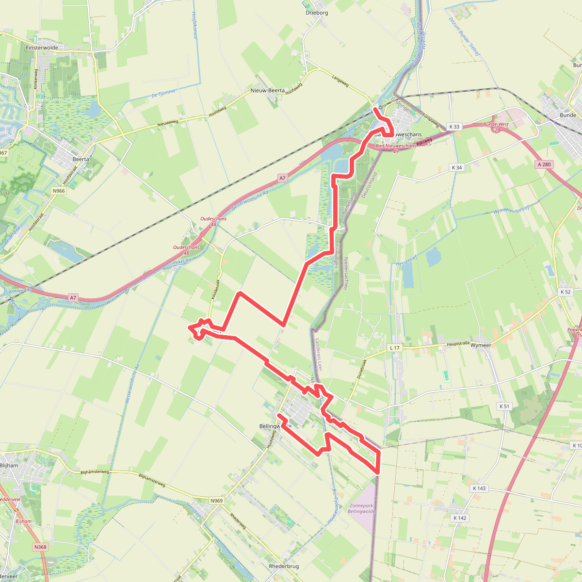
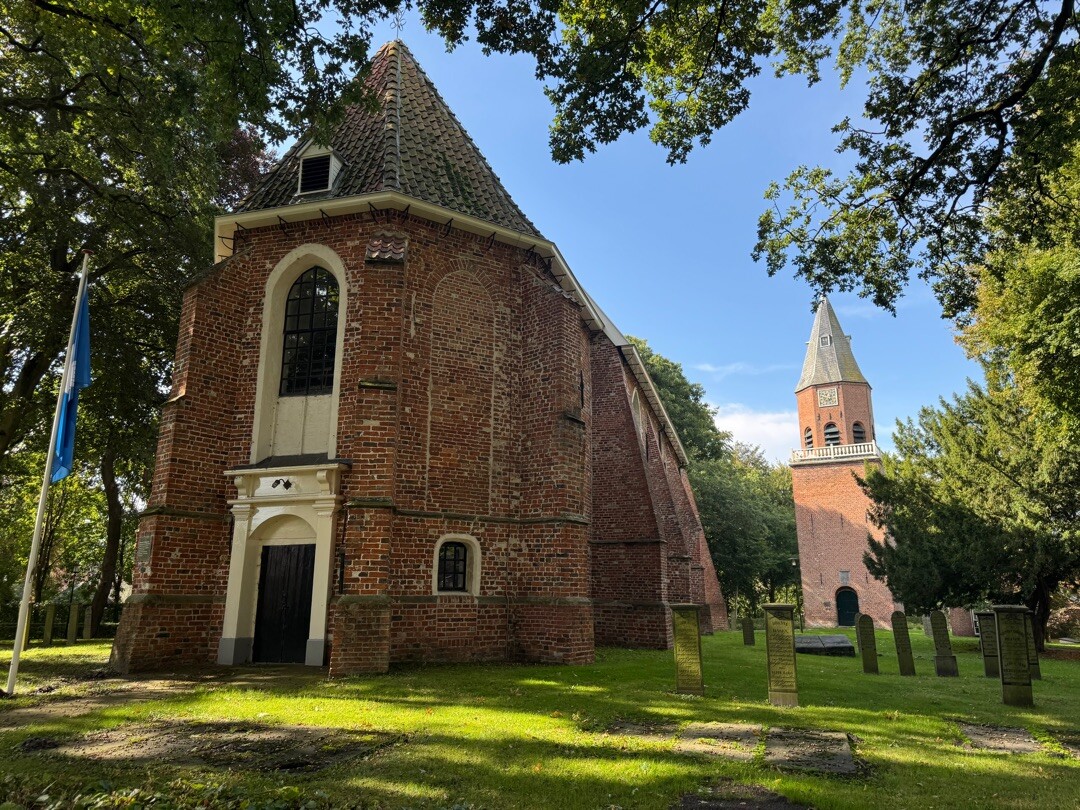
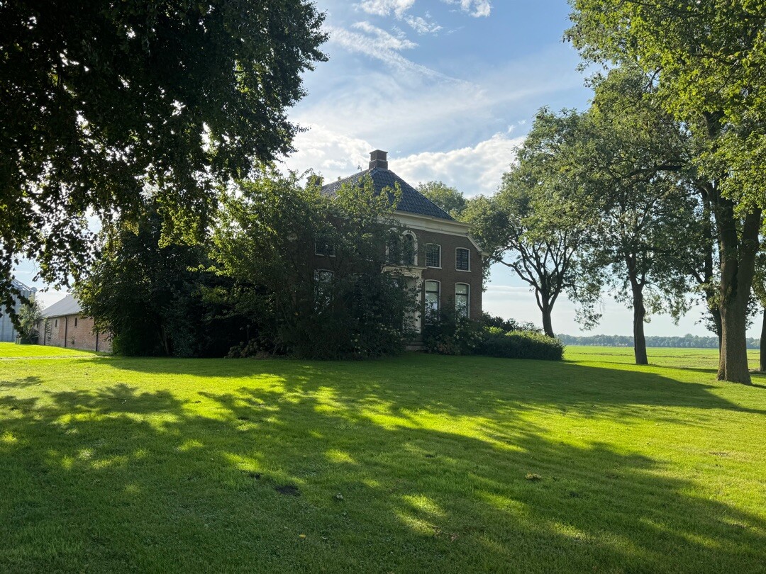
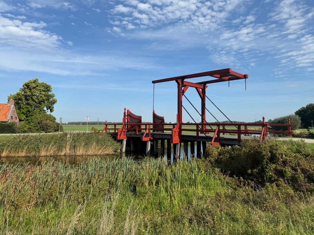
#3. Bad Nieuweschans - Bellingwolde · Noaberpad etappe 1
Bellingwolde,Oudeschans,Bad Nieuweschans
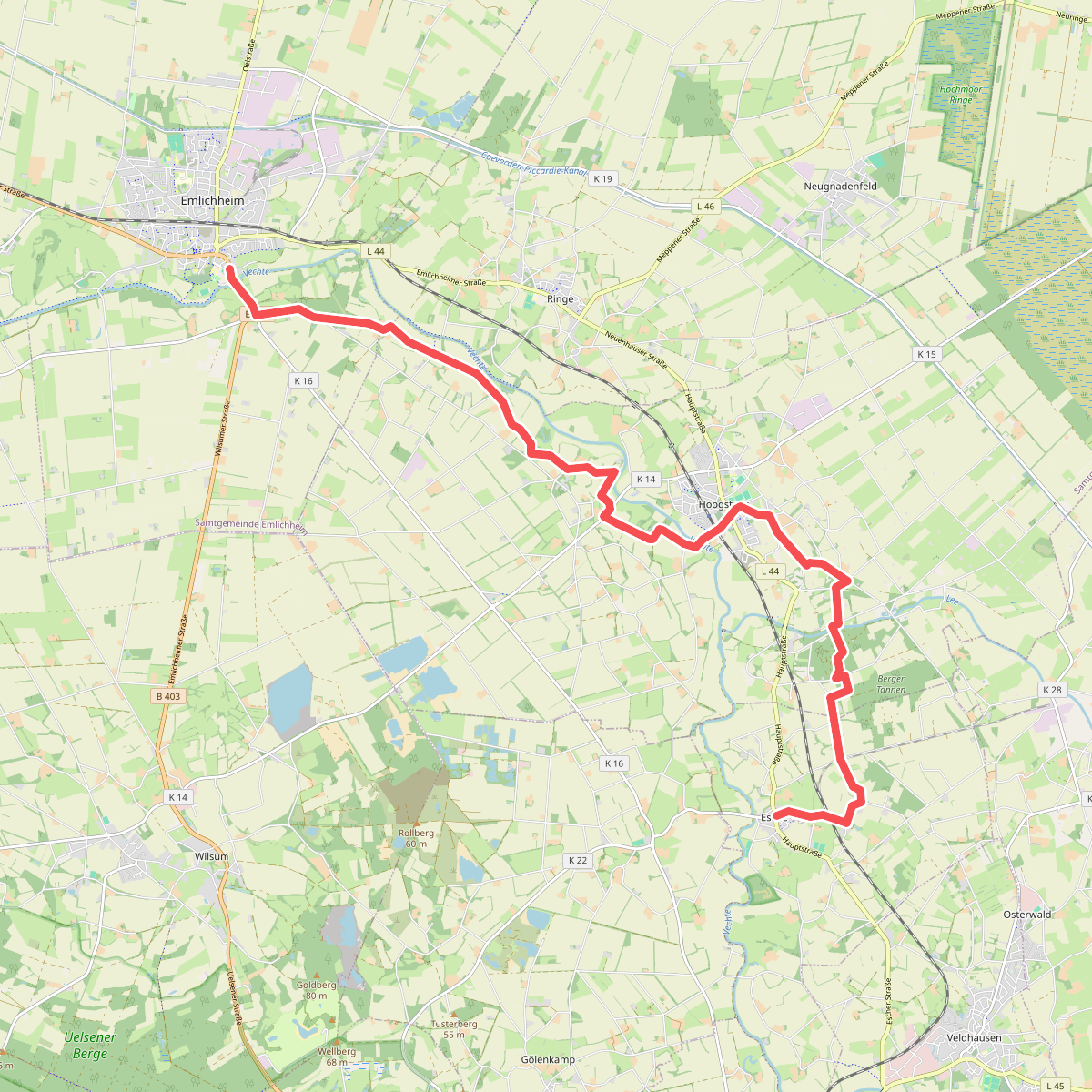
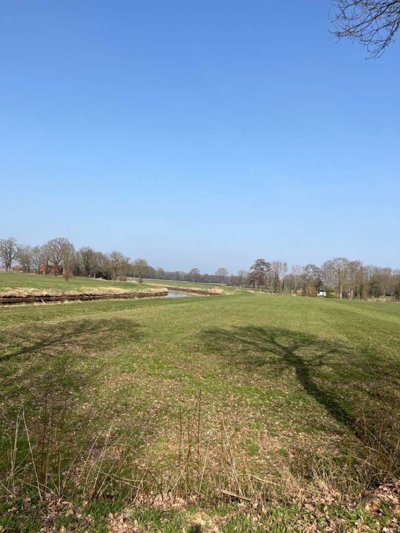
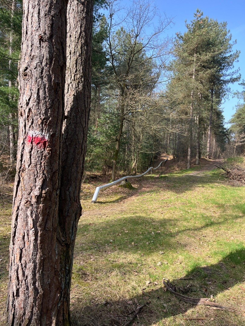
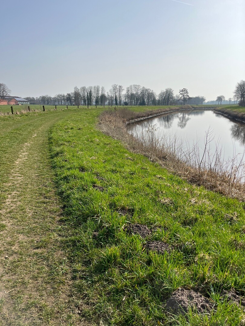
#4. Emlichheim - Esche · Noaberpad etappe 9
Emlichheim,Hoogstede,Esche
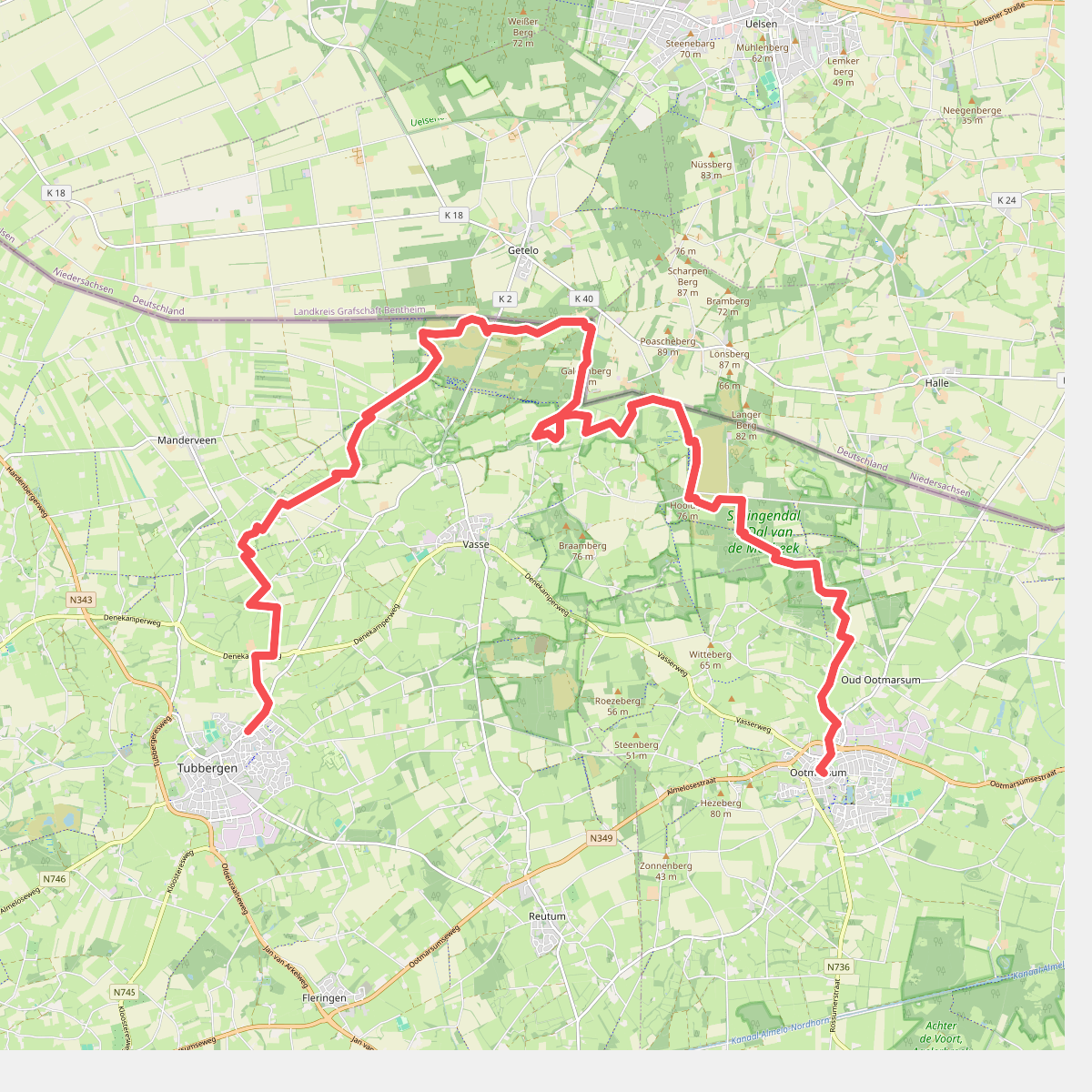
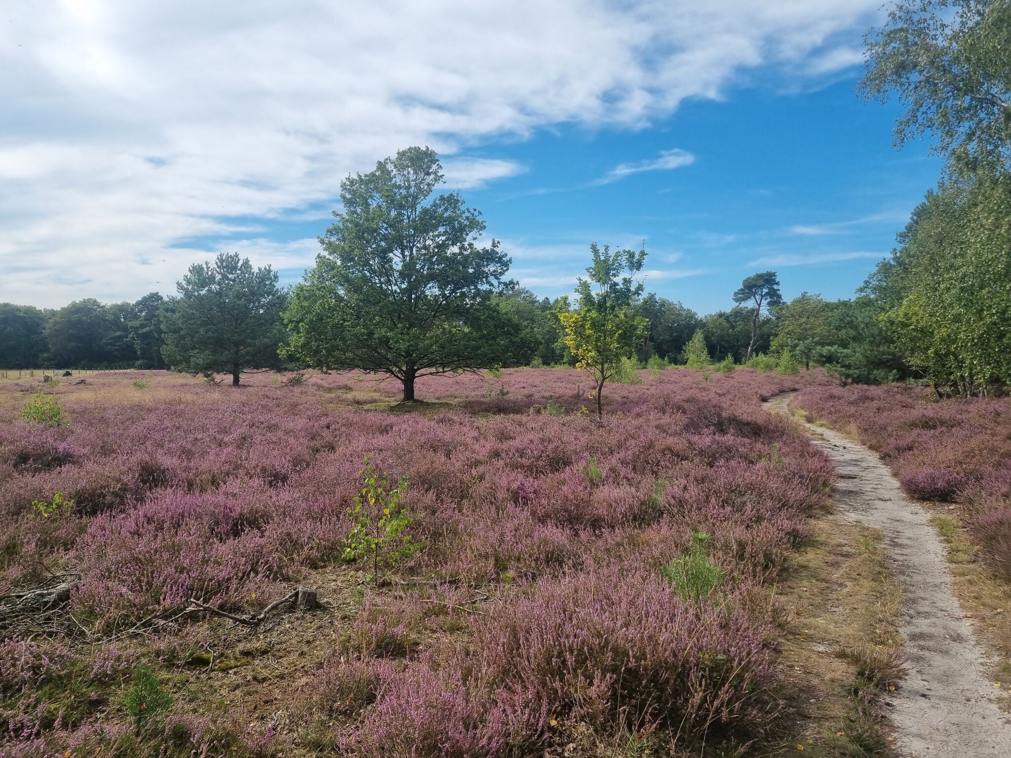
#5. Tubbergen - Ootmarsum · Twentepad etappe 2
Tubbergen,Manderveen,Mander,Hezingen,Vasse,Oud Ootmarsum,Ootmarsum
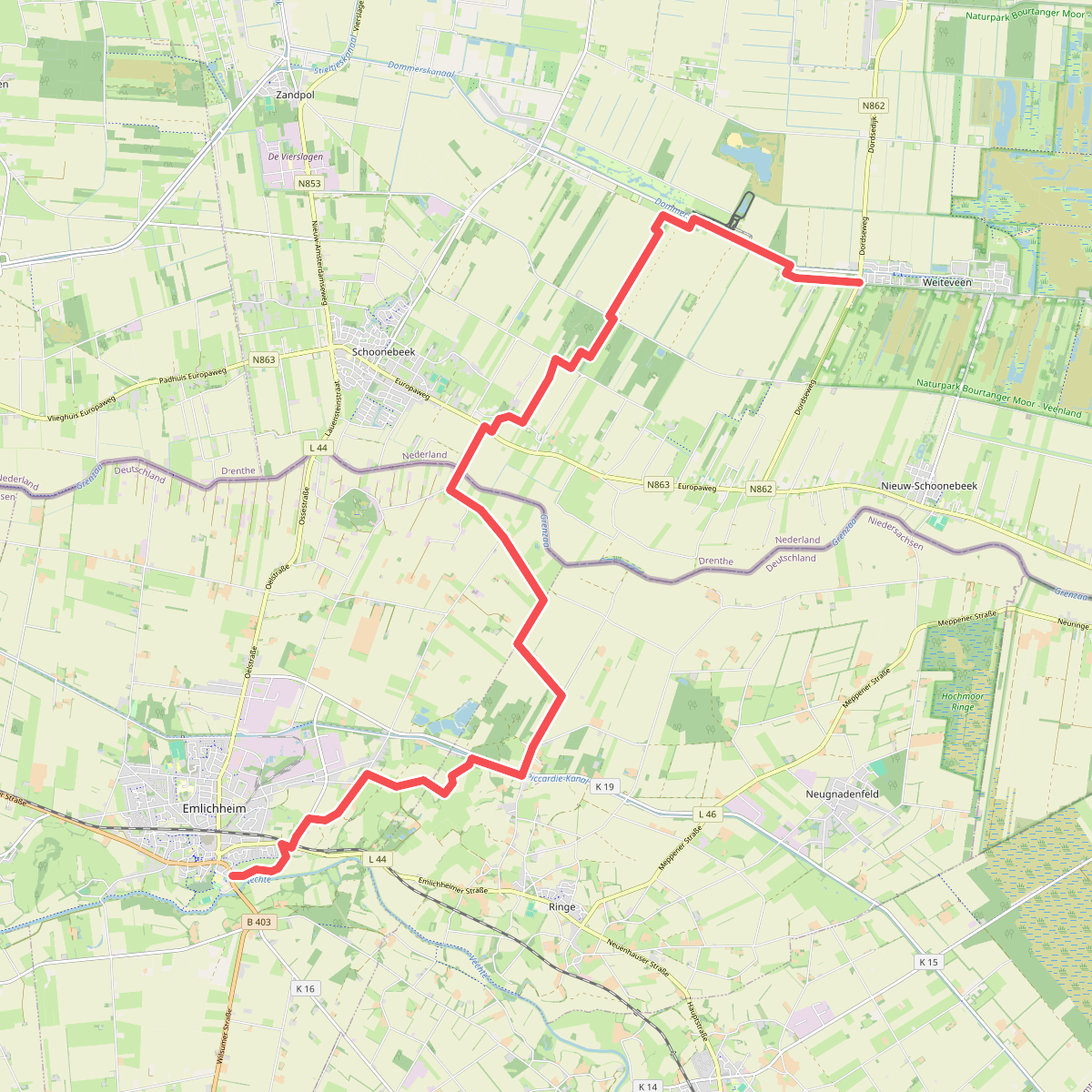
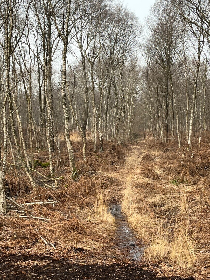
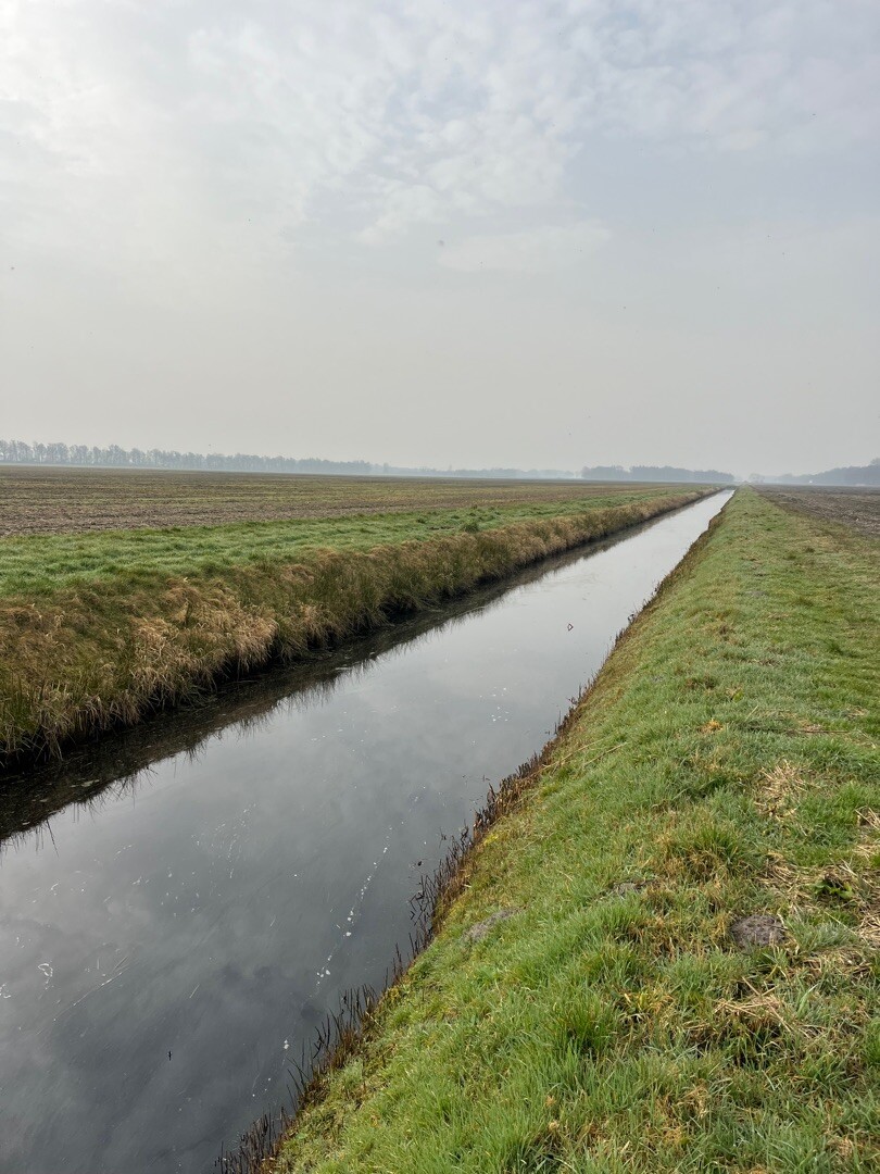
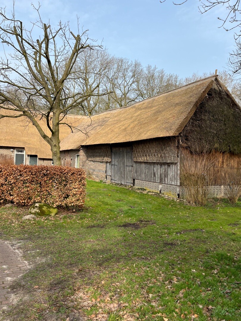
#6. Weiteveen - Emlichheim · Noaberpad etappe 8
Schoonebeek,Erica,Weiteveen
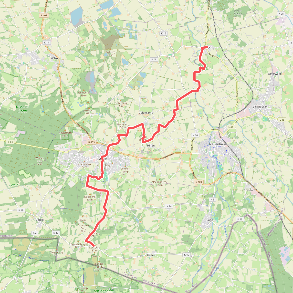
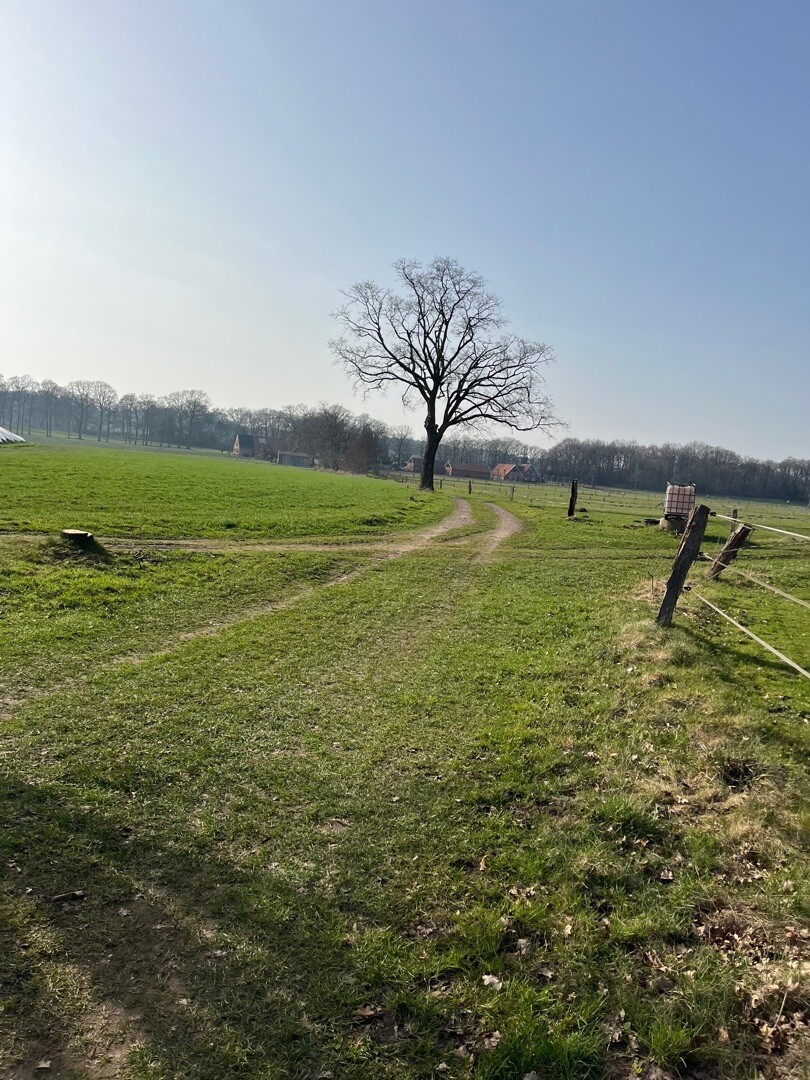
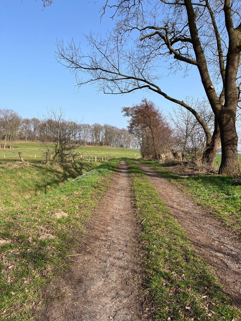
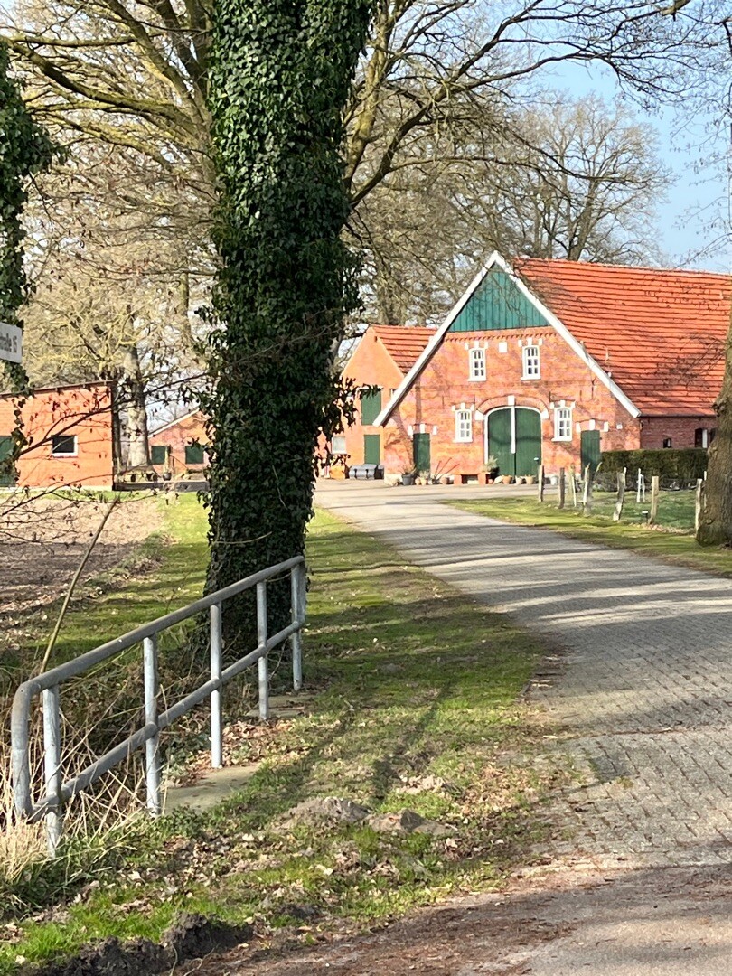
#7. Esche - Hesingen · Noaberpad etappe 10
Halle,Uelsen,Gölenkamp,Neuenhaus,Esche
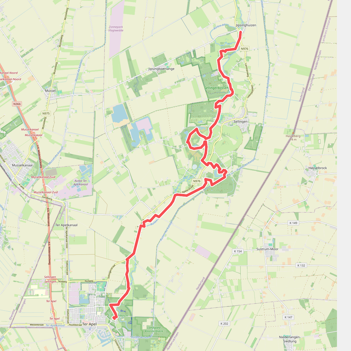
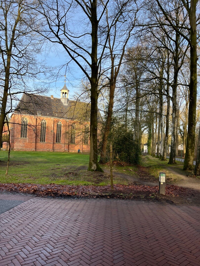
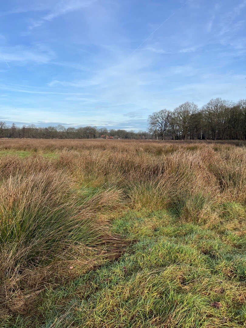
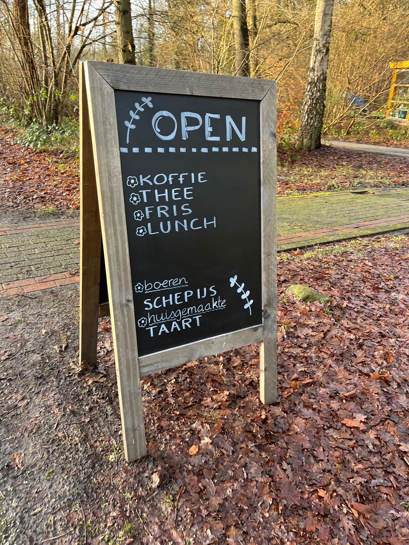
#8. Jipsinghuizen - Ter Apel · Noaberpad etappe 5
Ter Apel,Sellingen
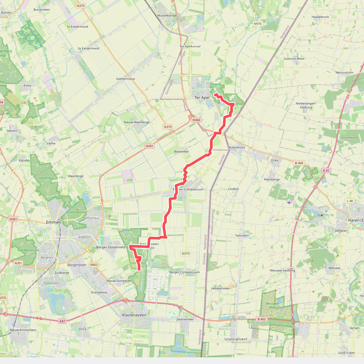
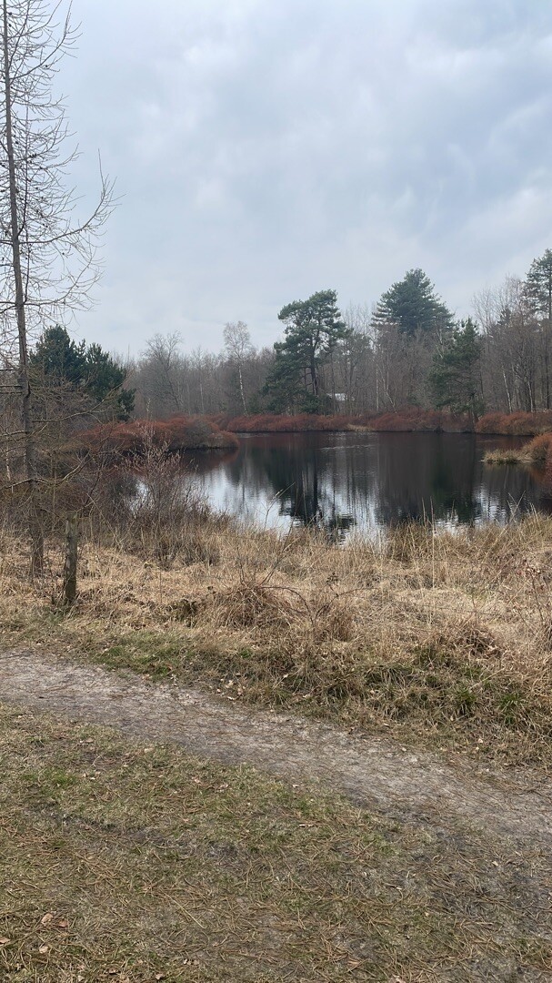
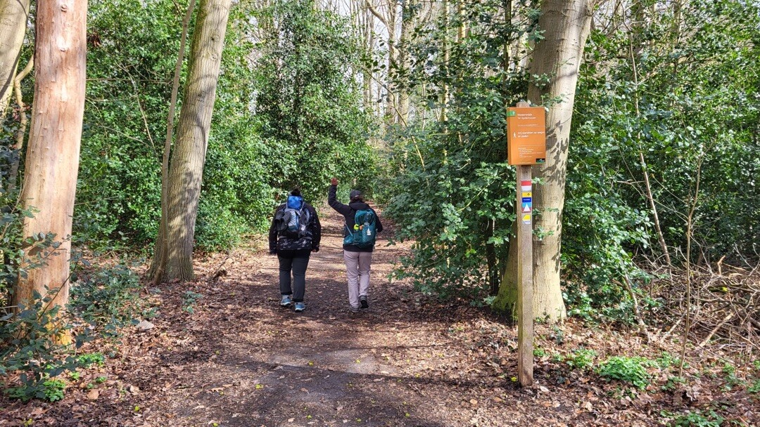
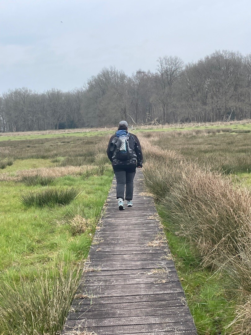
#9. Ter Apel - Nieuw-Dordrecht · Noaberpad etappe 6
Ter Apel,Roswinkel,Emmer-Compascuum,Barger-Compascuum,Klazienaveen-Noord
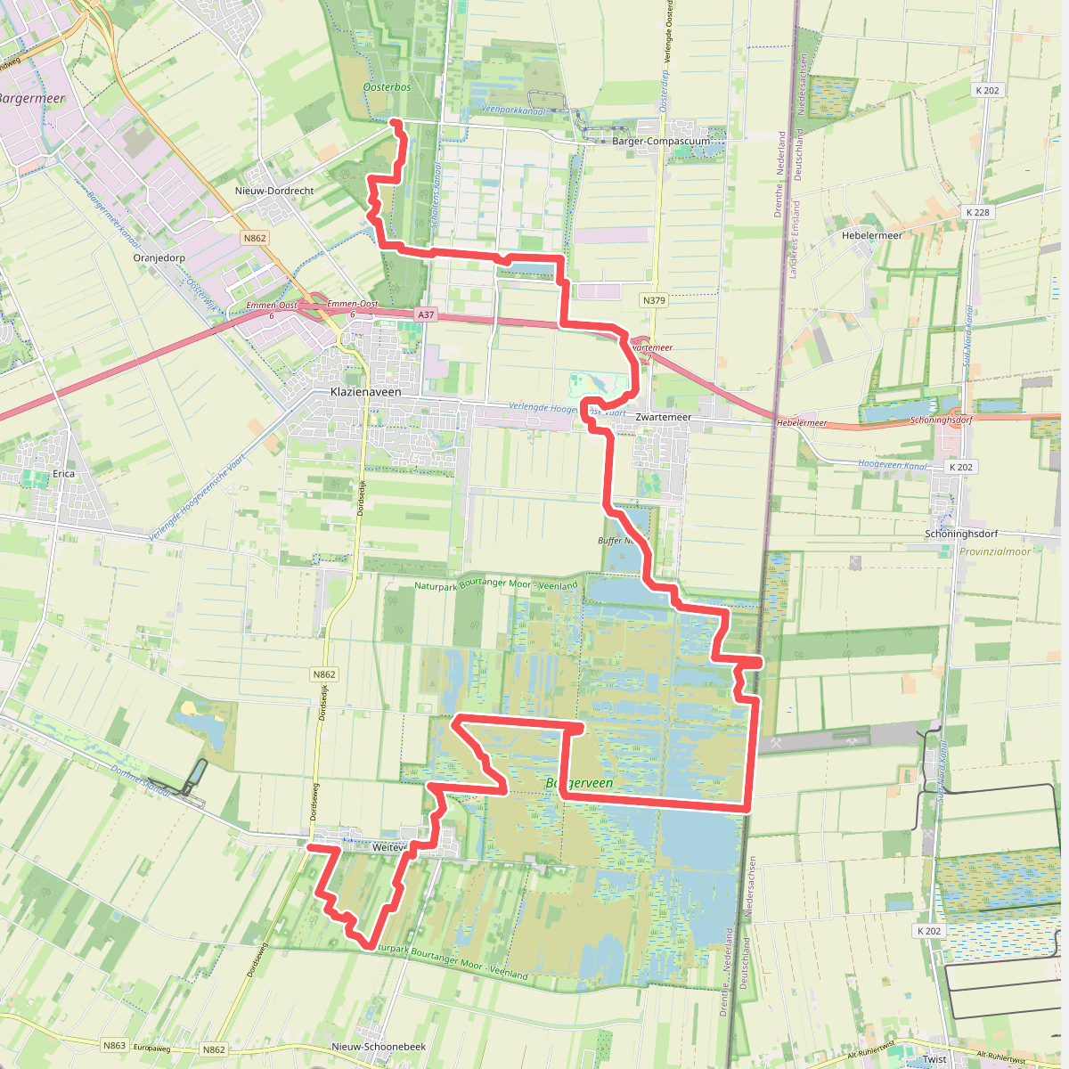
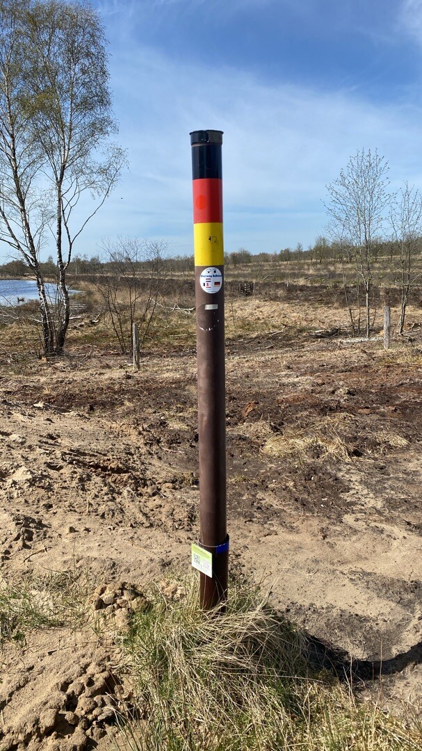
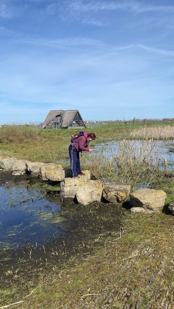
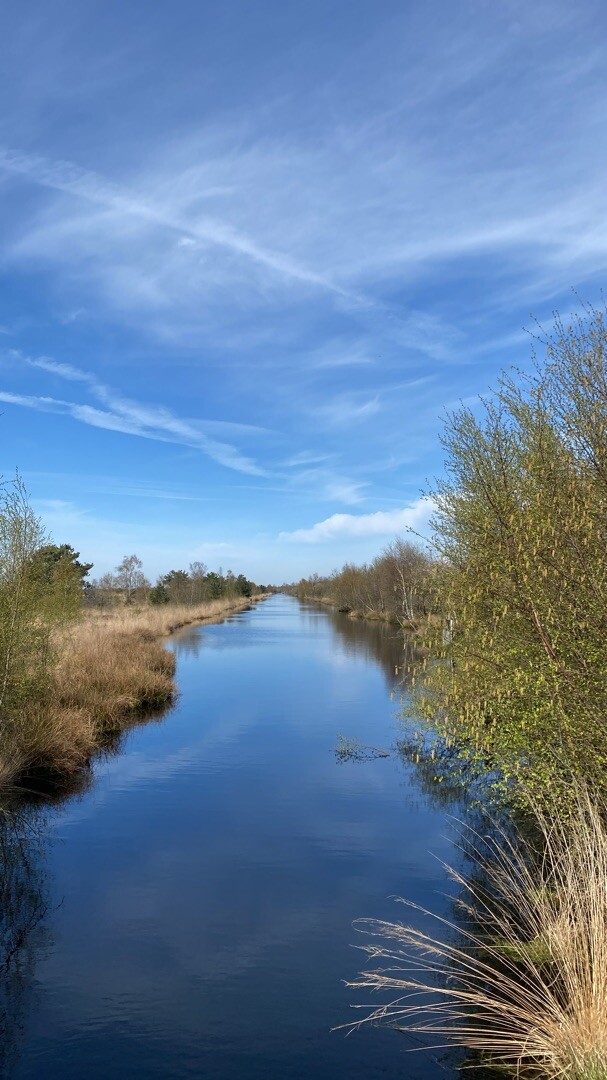
#10. Nieuw-Dordrecht - Weiteveen · Noaberpad etappe 7
Klazienaveen-Noord,Klazienaveen,Barger-Compascuum,Zwartemeer,Twist,Weiteveen
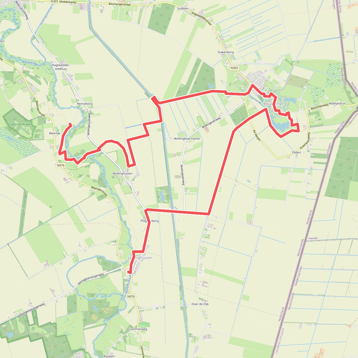
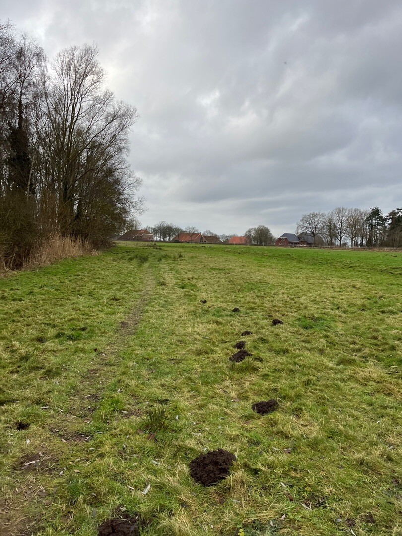
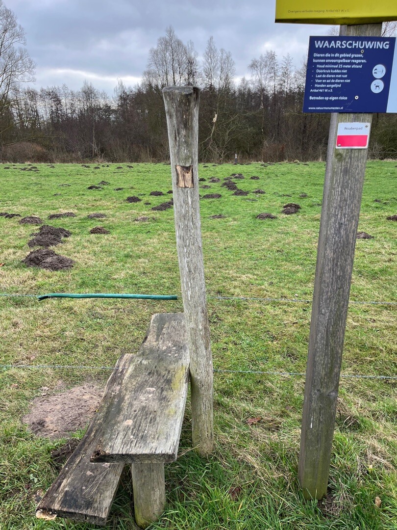
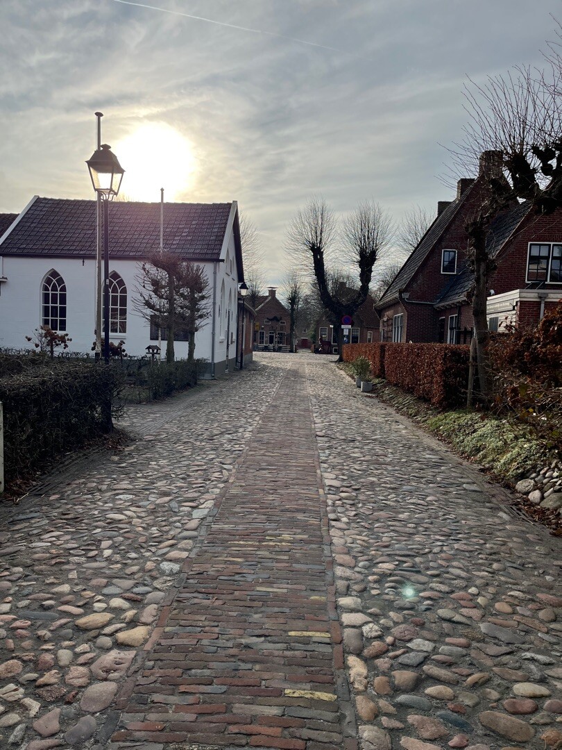
#11. Weende - Jipsinghuizen · Noaberpad etappe 4
Vlagtwedde,Bourtange,Sellingen
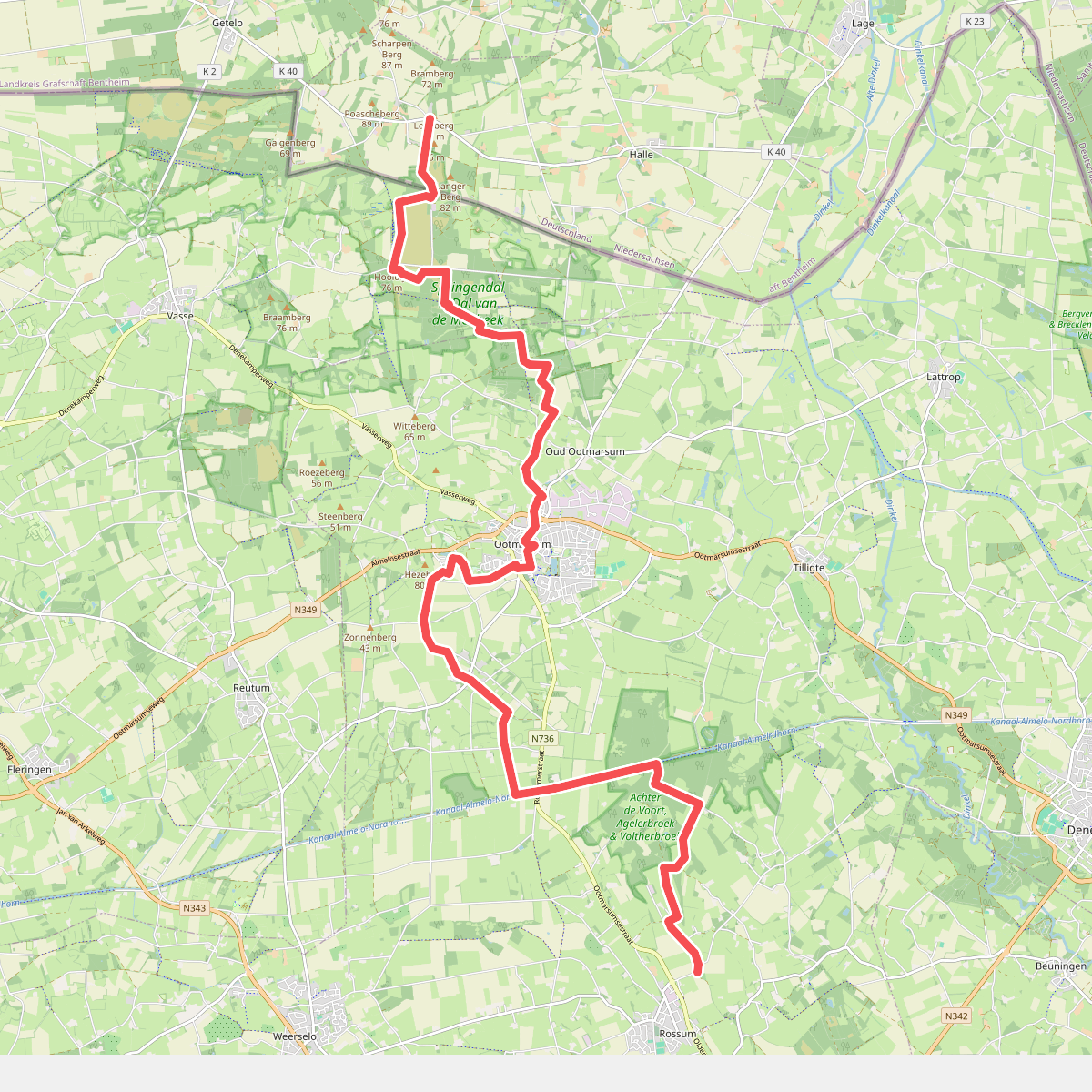

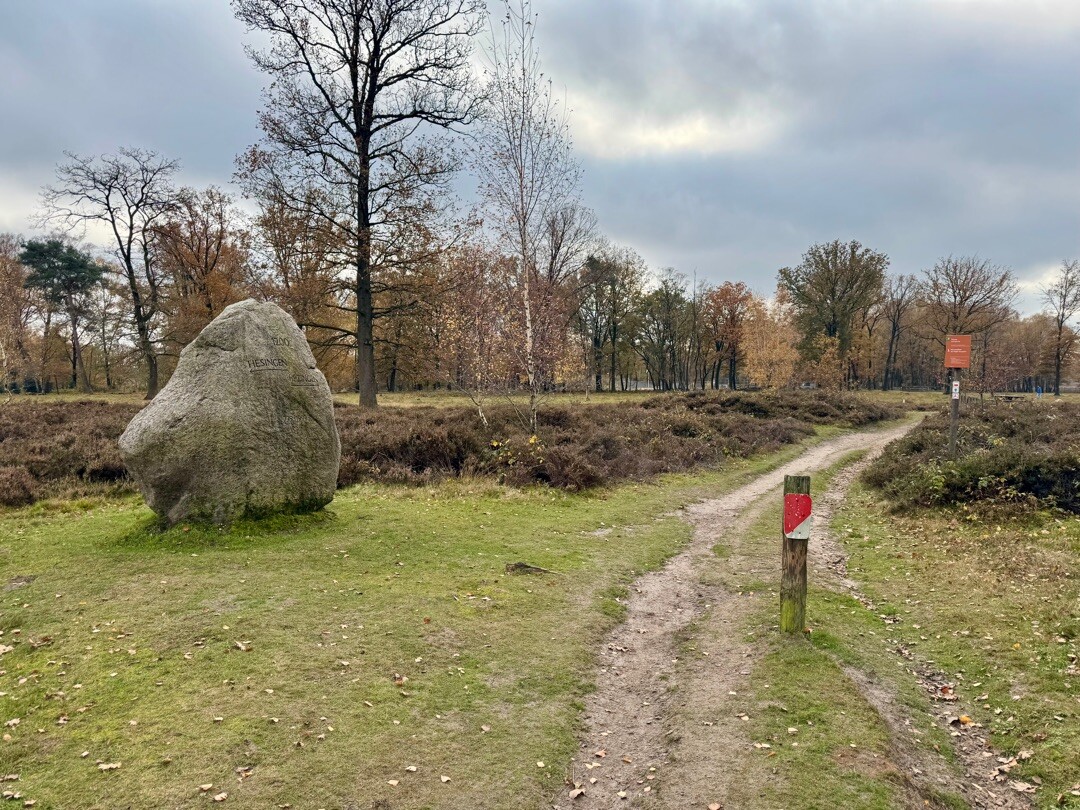
#12. Hesingen - Rossum · Noaberpad etappe 11
Halle,Oud Ootmarsum,Ootmarsum,Agelo,Rossum



