The best hiking routes in Navarre
Discover the best walks in Navarre. 239 routes on the map, with descriptions, photos and GPX.
About Navarre
Navarre is defined by the transition from the wet, forested Pyrenees in the north to the arid plains of the Ebro basin in the south. Walkers must choose between these distinct environments, as the terrain and underfoot conditions change completely within a short drive. The northern and western sectors are dominated by limestone massifs and beech forests, while the south consists of eroded clay and sandstone badlands.
Read more
About Navarre
Navarre is defined by the transition from the wet, forested Pyrenees in the north to the arid plains of the Ebro basin in the south. Walkers must choose between these distinct environments, as the terrain and underfoot conditions change completely within a short drive. The northern and western sectors are dominated by limestone massifs and beech forests, while the south consists of eroded clay and sandstone badlands.
Read moreNavarre is defined by the transition from the wet, forested Pyrenees in the north to the arid plains of the Ebro basin in the south. Walkers must choose between these distinct environments, as the terrain and underfoot conditions change completely within a short drive. The northern and western sectors are dominated by limestone massifs and beech forests, while the south consists of eroded clay and sandstone badlands.
In the humid north, reserves like Orreaga-Iratiko oihana BBE-KBE and Belate offer paths over damp leaf litter, mossy roots, and clay under a dense canopy of beech and fir. Further west, the karst plateaus of Urbasa-Andia parke naturala and ZEC Entzia KBE feature limestone pavements, sinkholes, and grassy pastures where livestock graze. These areas lack high, jagged peaks but provide undulating woodland walking that can feel enclosed and labyrinthine.
In contrast, the southern landscape of the Parque Natural de las Bardenas Reales consists of dry, dusty tracks winding through canyons, ravines, and flat-topped buttes. Here, the ground is hard-baked clay and gravel, which turns to sticky mud after autumn downpours. This semi-desert lacks any tree cover, offering wide, open views of eroded clay formations instead of the shaded forest tracks found in the north.
Nature areas in Navarre
Zoom or pan for more routes
Hiking routes in Navarre (239)
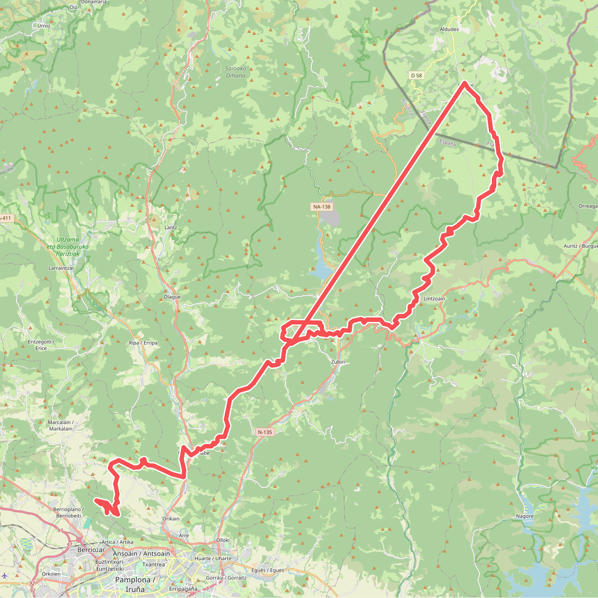
#1. 1938ko Ezkabako Ihesa
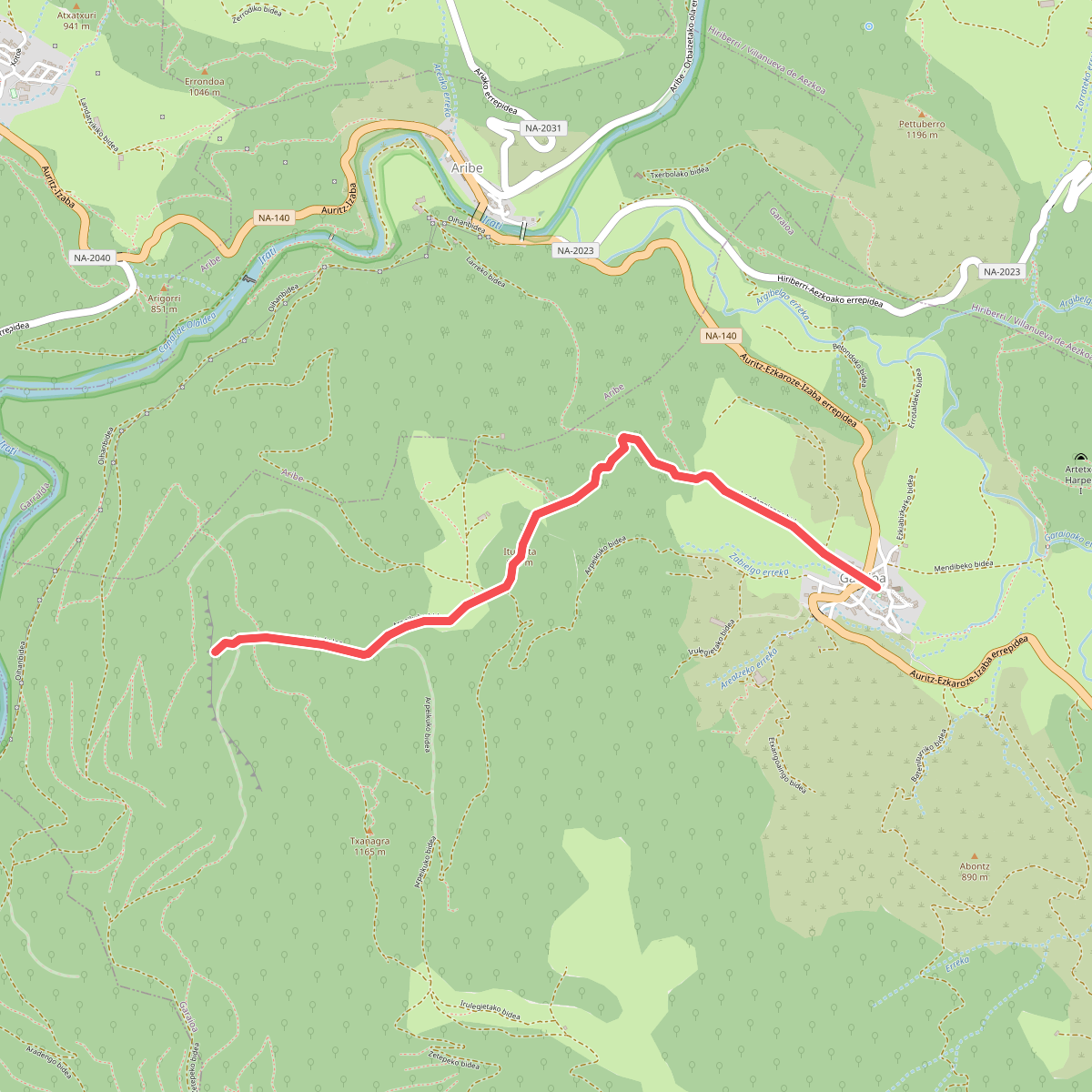
#2. A Zamariaingo behatokia
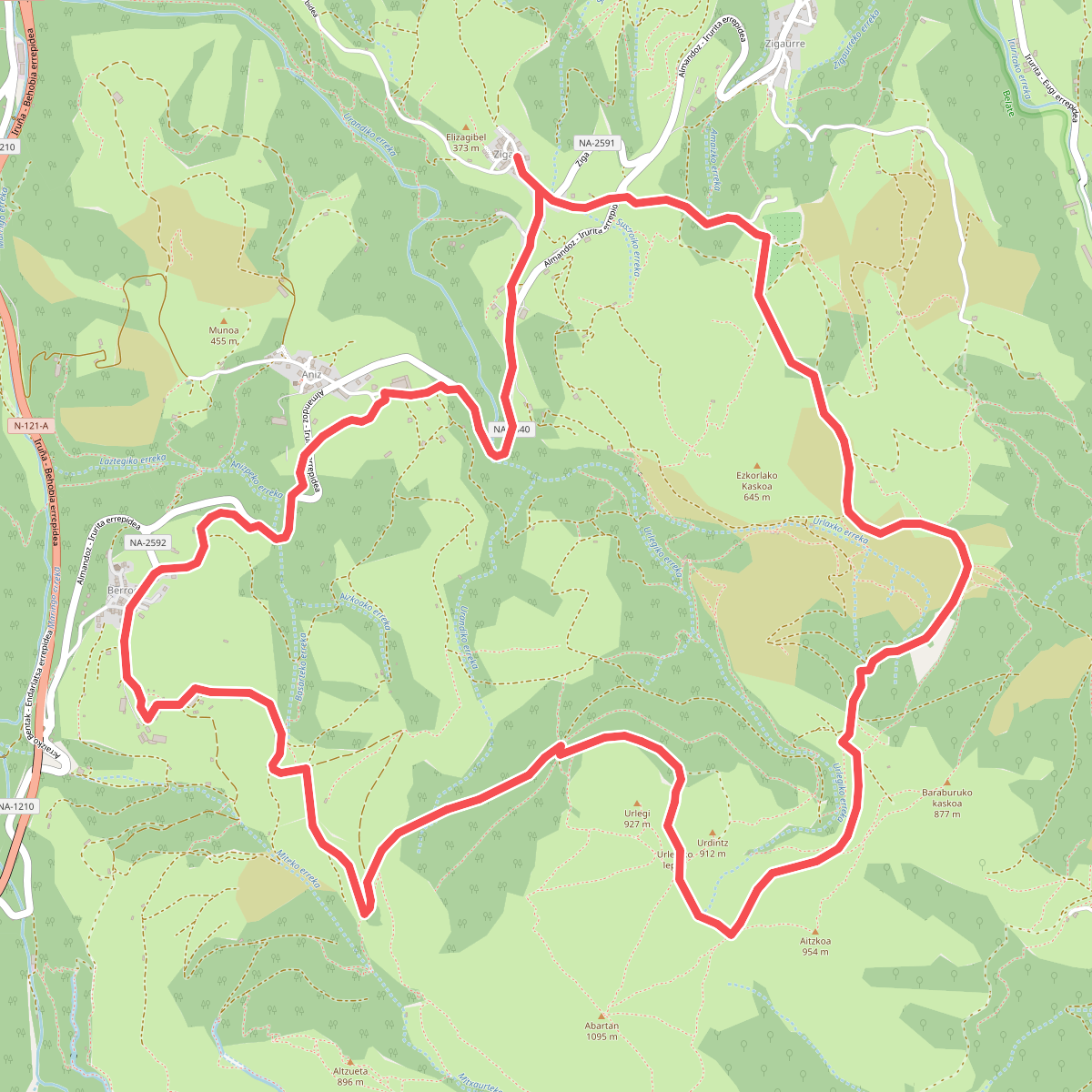
#3. Abartan
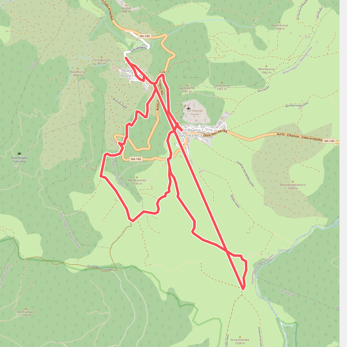
#4. Abaurrea Bidean
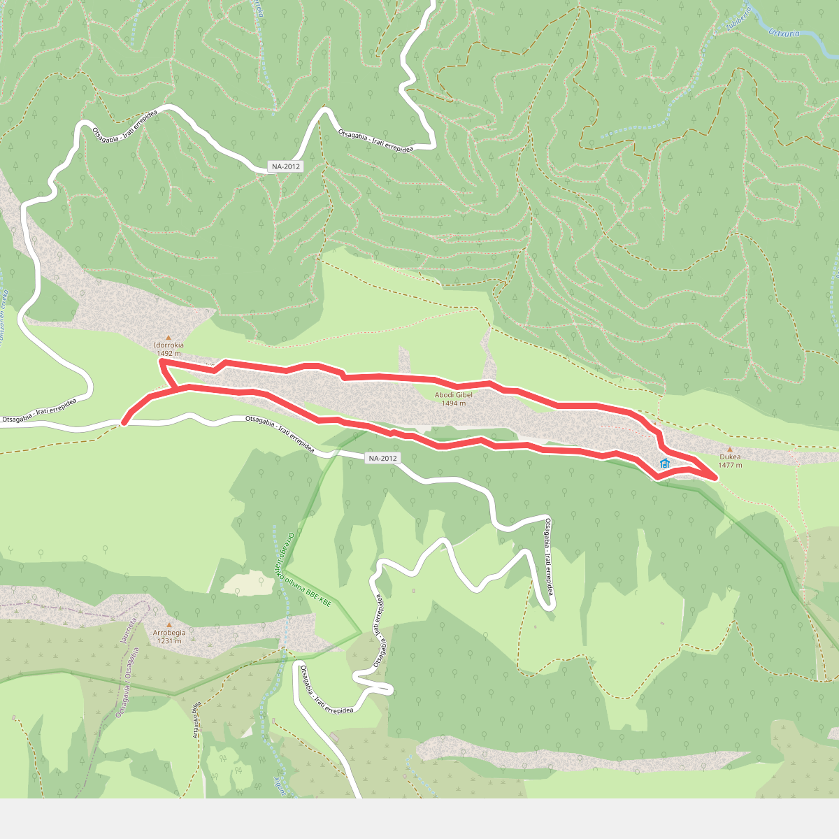
#5. Abodiko gainak
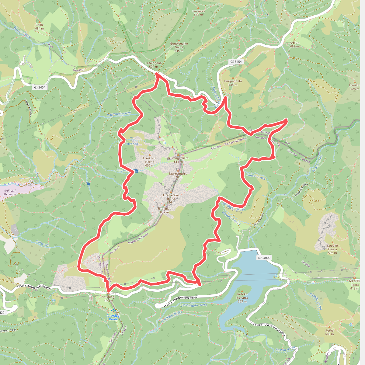
#6. Aiako Harriko tontorrei bira
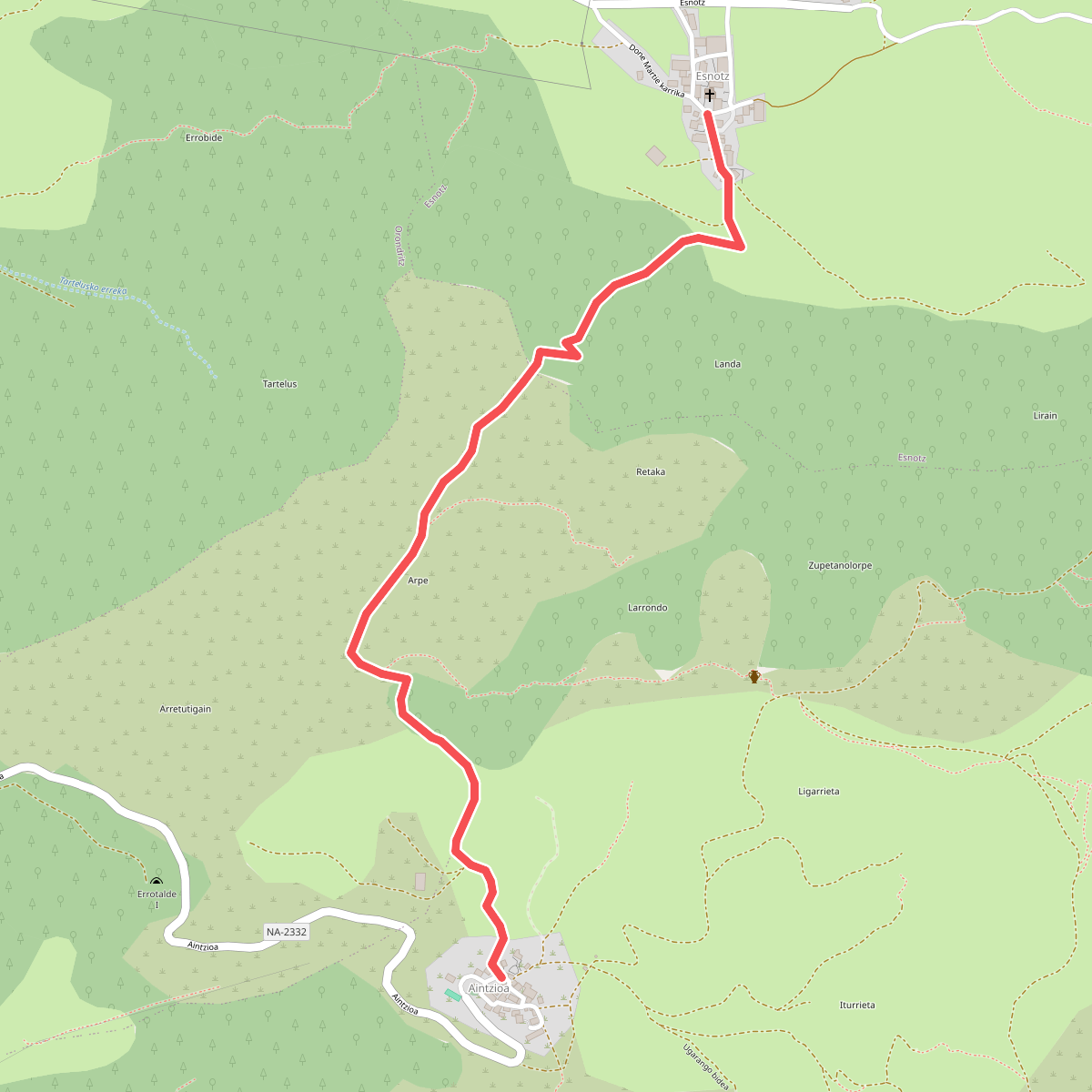
#7. Aintzioa - Esnotz
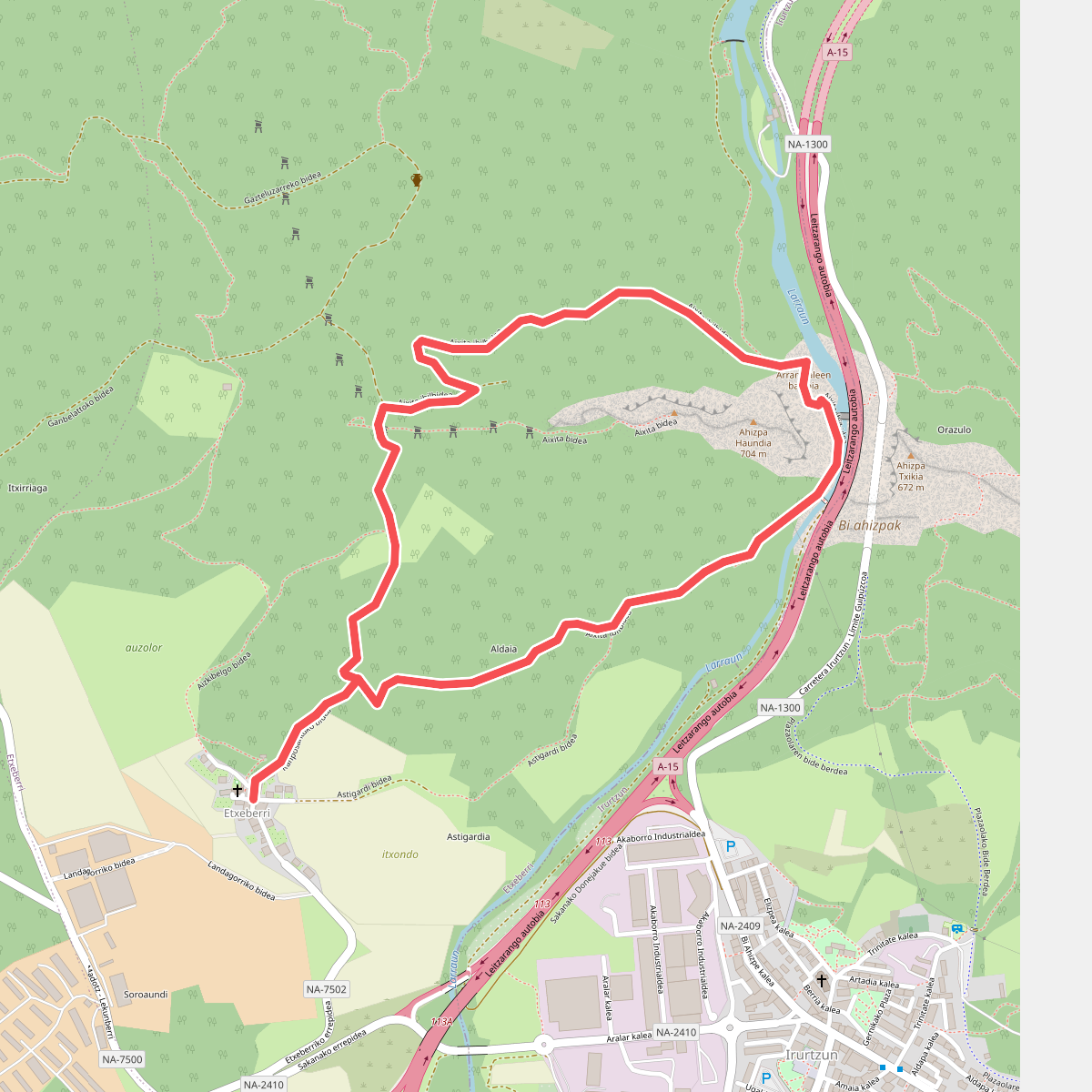
#8. Aixita ibilbidea
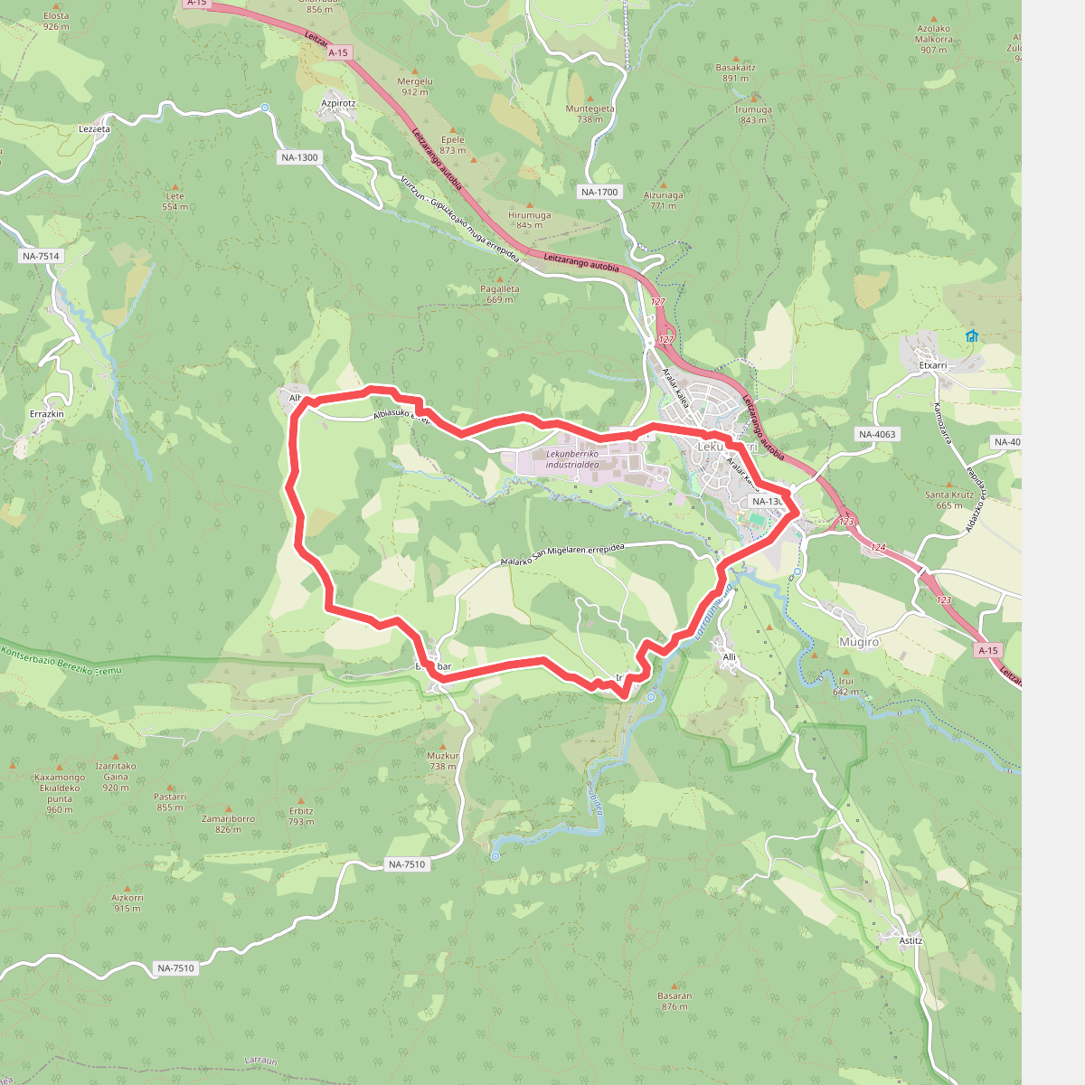
#9. Albiasuko behatokia
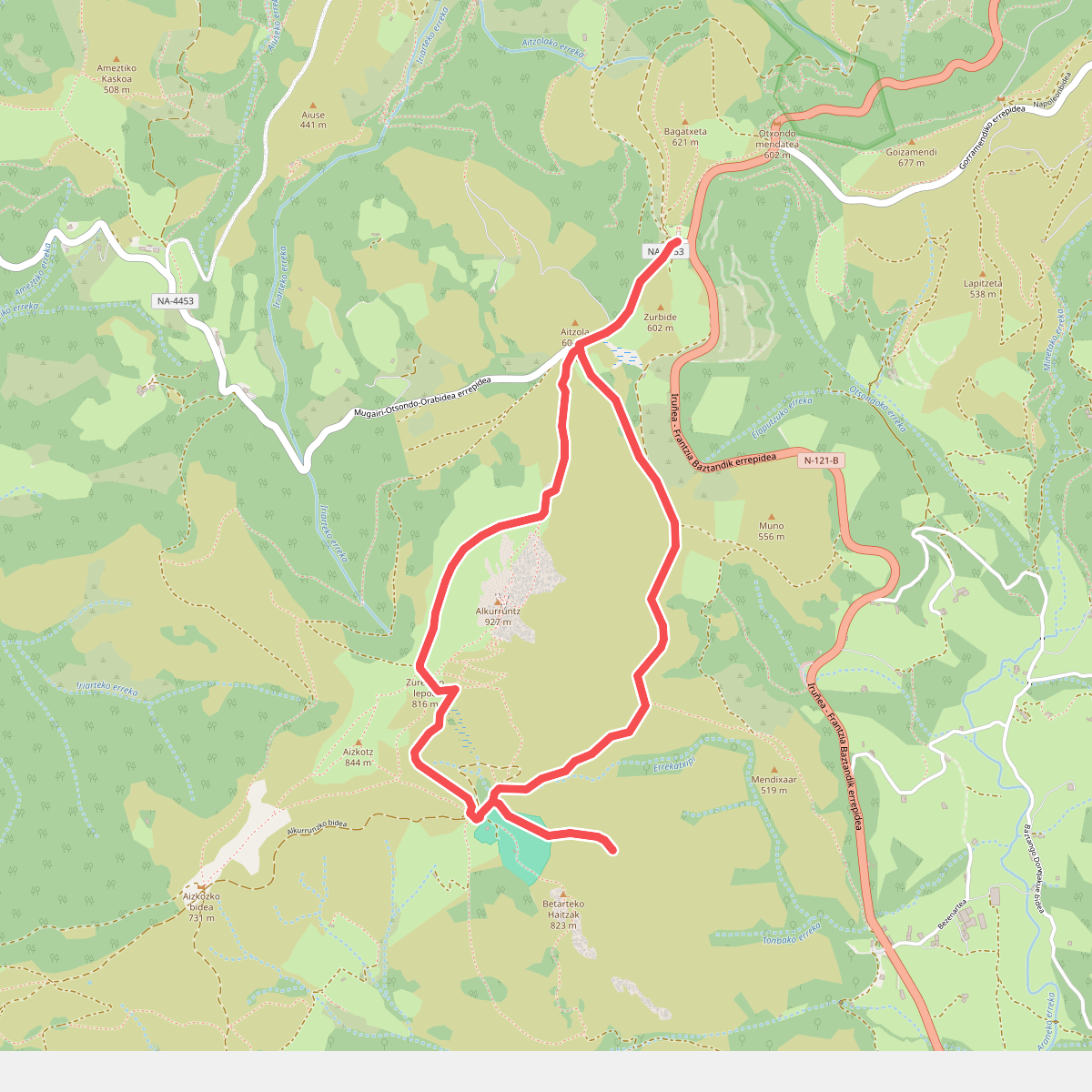
#10. Alkurruntz
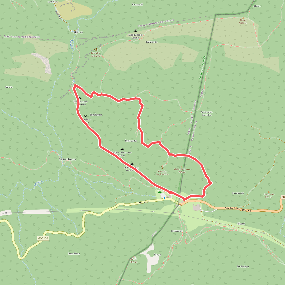
#11. Allekupeko baso-bidea