The best hiking routes in Marijampolė County
Discover the best walks in Marijampolė County. 2 routes on the map, with descriptions, photos and GPX.
About Marijampolė County
Marijampolė County offers two distinct walking landscapes shaped by its border geography. In the south, Vištyčio regioninis parkas presents a hilly, glacial terrain where the paths climb over moraine ridges and wind through dense broadleaf forests. Walking here means navigating uneven ground, clay-heavy soil, and stony paths, with the massive border lake of Vištytis constantly reappearing through the trees. This is a landscape of steep, short climbs and small forest kettle holes, quite different from the flat plains that dominate the rest of the region.
Read more
About Marijampolė County
Marijampolė County offers two distinct walking landscapes shaped by its border geography. In the south, Vištyčio regioninis parkas presents a hilly, glacial terrain where the paths climb over moraine ridges and wind through dense broadleaf forests. Walking here means navigating uneven ground, clay-heavy soil, and stony paths, with the massive border lake of Vištytis constantly reappearing through the trees. This is a landscape of steep, short climbs and small forest kettle holes, quite different from the flat plains that dominate the rest of the region.
Read moreMarijampolė County offers two distinct walking landscapes shaped by its border geography. In the south, Vištyčio regioninis parkas presents a hilly, glacial terrain where the paths climb over moraine ridges and wind through dense broadleaf forests. Walking here means navigating uneven ground, clay-heavy soil, and stony paths, with the massive border lake of Vištytis constantly reappearing through the trees. This is a landscape of steep, short climbs and small forest kettle holes, quite different from the flat plains that dominate the rest of the region.
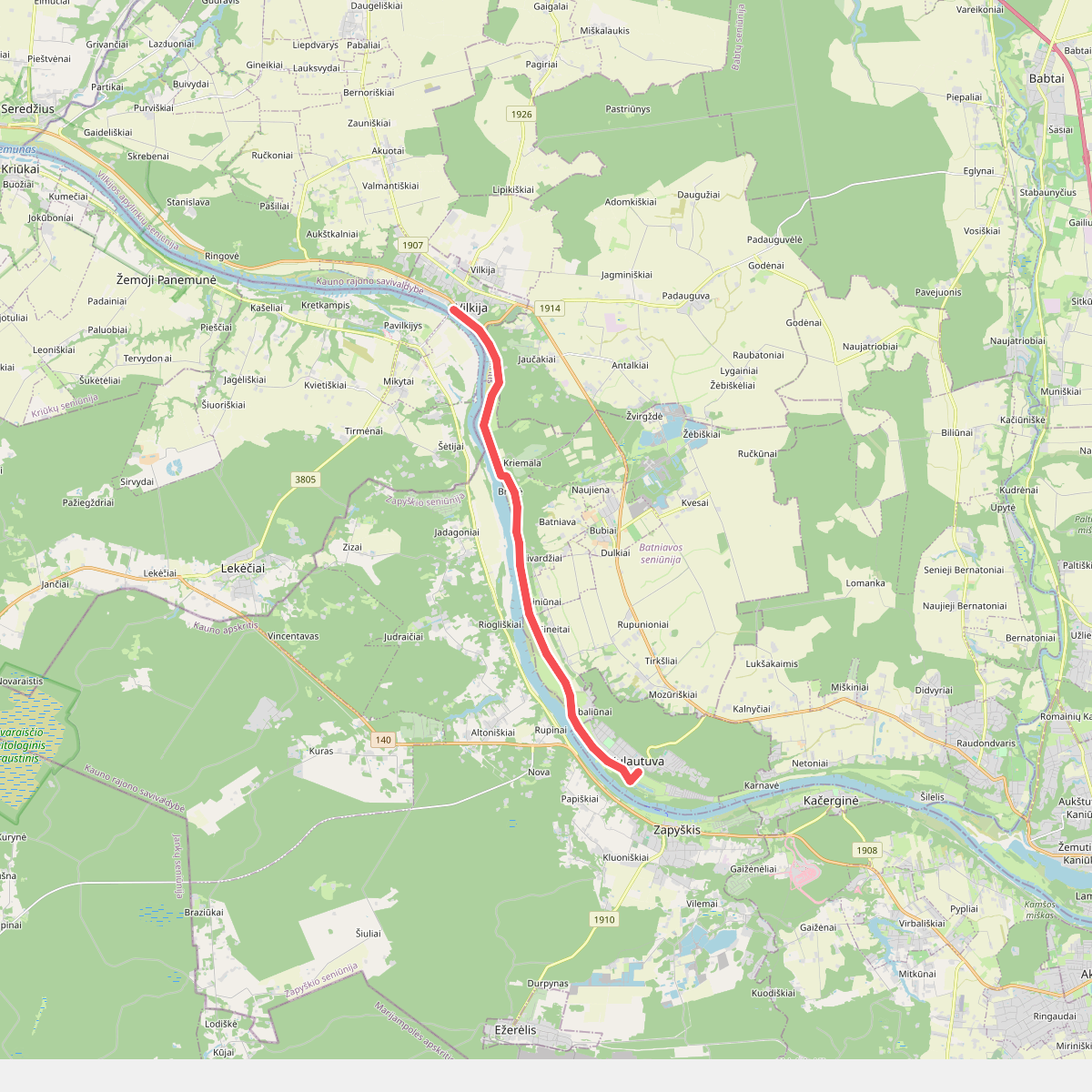
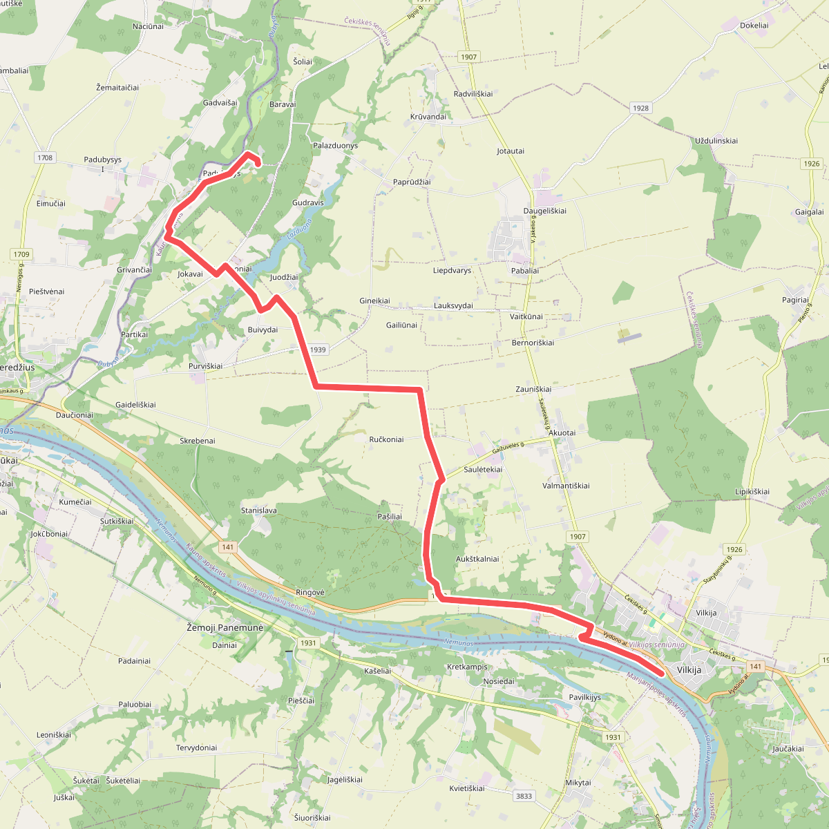
To the north, the character shifts entirely along the Nemunas river valley in Panemunių regioninis parkas. Here, the walking is defined by linear terrace paths, wooded river bluffs, and historical hill forts. The underfoot conditions alternate between sandy riverside tracks and damp alluvial soils. This area feels more open, structured by the wide riverbed and the remnants of old estate parks, making it easier to navigate than the dense, boulder-strewn forests of the southern borderland.
If you prefer enclosed, undulating woodland walks with significant elevation changes for Lithuania, head to the southern hills. If you prefer walking along wide river terraces with clear views of water and historical earthworks, the northern valley is the better choice. Both areas avoid the swampy peatlands found elsewhere in the country, offering firm forest dirt and gravel tracks instead.
Nature areas in Marijampolė County
Zoom or pan for more routes