The best hiking routes in Hradec Králové Region
Discover the best walks in Hradec Králové Region. 52 routes on the map, with descriptions, photos and GPX.
About Hradec Králové Region
The Hradec Králové Region offers a stark contrast between high mountain ridges and intricate sandstone labyrinth cities. In the north, Krkonošský národní park features steep glacial cirques, alpine tundra, and stony paths that climb above the tree line. This is a landscape of exposed granite boulders and dwarf pines, where walkers can follow long-distance ridge trails along the Polish border. In October, the mountain grasses turn a deep bronze, signaling the early arrival of autumn.
Read more
About Hradec Králové Region
The Hradec Králové Region offers a stark contrast between high mountain ridges and intricate sandstone labyrinth cities. In the north, Krkonošský národní park features steep glacial cirques, alpine tundra, and stony paths that climb above the tree line. This is a landscape of exposed granite boulders and dwarf pines, where walkers can follow long-distance ridge trails along the Polish border. In October, the mountain grasses turn a deep bronze, signaling the early arrival of autumn.
Read moreThe Hradec Králové Region offers a stark contrast between high mountain ridges and intricate sandstone labyrinth cities. In the north, Krkonošský národní park features steep glacial cirques, alpine tundra, and stony paths that climb above the tree line. This is a landscape of exposed granite boulders and dwarf pines, where walkers can follow long-distance ridge trails along the Polish border. In October, the mountain grasses turn a deep bronze, signaling the early arrival of autumn.
Further east and west, the terrain changes to dramatic sandstone formations. In CHKO Broumovsko and CHKO Český ráj, the paths wind through narrow rock fissures, pine-crested towers, and cool, shaded gorges where the ground is often soft with damp sand and pine needles. These areas do not have the high, open peaks of the northern range, but rather offer intimate, sheltered walking routes where wooden steps and ladders help navigate the vertical rock passages.
For those seeking gentler, forested ridges without the steep rocky climbs, CHKO Orlické hory provides rolling meadows, quiet beech forests, and grassy tracks. This area is characterized by its long, steady ascents and wide, grassy ridges that are less rugged underfoot than the rocky paths of the national parks. It is a reliable choice for long, rhythmic walks through a working countryside of scattered timber cottages and upland pastures.
Nature areas in Hradec Králové Region
Zoom or pan for more routes
Hiking routes in Hradec Králové Region (52)
![[Č] Bucharova cesta](https://wandelweb.fsn1.your-objectstorage.com/tracks/static-maps/36821-1779134827-large.png)
#1. [Č] Bucharova cesta
Jilemnice,Benecko,Vrchlabí,Špindlerův Mlýn,Vítkovice
![[Č] Cesta Karla Jaromíra Erbena](https://wandelweb.fsn1.your-objectstorage.com/tracks/static-maps/36818-1779134827-large.png)
#2. [Č] Cesta Karla Jaromíra Erbena
Úbislavice,Lužany,Choteč,Lázně Bělohrad,Lukavec u Hořic,Červená Třemešná,Miletín,Rohoznice,Zdobín,Třebihošť,Dvůr Králové nad Labem
![[Č] Jičín – Mladějov (red trail)](https://wandelweb.fsn1.your-objectstorage.com/tracks/static-maps/36786-1779134816-large.png)
#3. [Č] Jičín – Mladějov (red trail)
Jičín,Holín,Zámostí-Blata,Mladějov
![[Č] Jilemnice - Lomnice nad Popelkou](https://wandelweb.fsn1.your-objectstorage.com/tracks/static-maps/36822-1779134828-large.png)
#4. [Č] Jilemnice - Lomnice nad Popelkou
Jilemnice,Mříčná,Košťálov,Libštát,Lomnice nad Popelkou,Nová Ves nad Popelkou
![[Č] Miletín - Konecchlumí](https://wandelweb.fsn1.your-objectstorage.com/tracks/static-maps/36356-1779134651-large.png)
#5. [Č] Miletín - Konecchlumí
Miletín,Rohoznice,Boháňka,Hořice,Holovousy,Šárovcova Lhota,Ostroměř,Mlázovice,Podhorní Újezd a Vojice,Konecchlumí
![[Č] Nová Paka - Horní Branná](https://wandelweb.fsn1.your-objectstorage.com/tracks/static-maps/36838-1779134832-large.png)
#6. [Č] Nová Paka - Horní Branná
Nová Paka,Levínská Olešnice,Studenec,Martinice v Krkonoších,Horní Branná
![[Č] Nová Paka - Zvičina](https://wandelweb.fsn1.your-objectstorage.com/tracks/static-maps/36819-1779134827-large.png)
#7. [Č] Nová Paka - Zvičina
Horní Brusnice,Borek,Pecka,Vidochov,Nová Paka,Stará Paka,Syřenov
![[Č] Sojovice - Mladá Boleslav - Podkost, Hrad Kost](https://wandelweb.fsn1.your-objectstorage.com/tracks/static-maps/36339-1779134638-large.png)
#8. [Č] Sojovice - Mladá Boleslav - Podkost, Hrad Kost
Libošovice,Dobšín,Kněžmost,Branžež,Žďár,Boseň,Mnichovo Hradiště,Klášter Hradiště nad Jizerou,Ptýrov,Bílá Hlína,Nová Ves u Bakova,Bakov nad Jizerou,Bradlec,Josefův Důl,Mladá Boleslav,Hrdlořezy,Dalovice,Vinec,Krnsko,Písková Lhota,Brodce,Hrušov,Horky nad Jizerou,Benátky nad Jizerou,Předměřice nad Jizerou,Sojovice
![[Č] Stará Lysá - Staré Hrady](https://wandelweb.fsn1.your-objectstorage.com/tracks/static-maps/36343-1779134639-large.png)
#9. [Č] Stará Lysá - Staré Hrady
Staré Hrady,Libáň,Dětenice,Rožďalovice,Košík,Seletice,Jabkenice,Loučeň,Vlkava,Všejany,Lipník,Milovice,Stará Lysá
![[Č] Staré Hrady - Prachovské skály](https://wandelweb.fsn1.your-objectstorage.com/tracks/static-maps/36351-1779134644-large.png)
#10. [Č] Staré Hrady - Prachovské skály
Staré Hrady,Sedliště,Bystřice,Střevač,Ostružno,Ohařice,Dolní Lochov,Holín
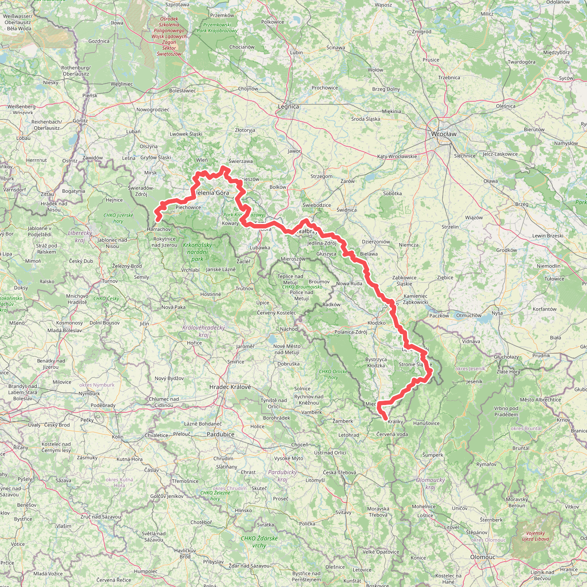
#11. European long distance path E3 - part Poland (west)