The best hiking routes in Jämtland County
Discover the best walks in Jämtland County. 14 routes on the map, with descriptions, photos and GPX.
About Jämtland County
Jämtland County presents a landscape of stark contrasts, ranging from dense coniferous forests to barren, windswept fell tops. To choose your walking route, decide whether you prefer the forested, rounded granite dome of Sonfjället National Park or the vast, trackless peatlands and low birch hills that cross the western border. Sonfjället is dominated by dry pine forests and boulder fields underfoot, where the terrain rises sharply to a single, central mountain mass. It is a distinct, self-contained area where you walk on stony paths through ancient woodland.
Read more
About Jämtland County
Jämtland County presents a landscape of stark contrasts, ranging from dense coniferous forests to barren, windswept fell tops. To choose your walking route, decide whether you prefer the forested, rounded granite dome of Sonfjället National Park or the vast, trackless peatlands and low birch hills that cross the western border. Sonfjället is dominated by dry pine forests and boulder fields underfoot, where the terrain rises sharply to a single, central mountain mass. It is a distinct, self-contained area where you walk on stony paths through ancient woodland.
Read moreJämtland County presents a landscape of stark contrasts, ranging from dense coniferous forests to barren, windswept fell tops. To choose your walking route, decide whether you prefer the forested, rounded granite dome of Sonfjället National Park or the vast, trackless peatlands and low birch hills that cross the western border. Sonfjället is dominated by dry pine forests and boulder fields underfoot, where the terrain rises sharply to a single, central mountain mass. It is a distinct, self-contained area where you walk on stony paths through ancient woodland.
In contrast, the western borderlands offer a much flatter, wetter experience. Here, areas like the nearby Blåfjella-Skjækerfjella and Lierne national parks, along with the Skardsfjella og Hyllingsdalen protected area, consist of wide valleys, willow bogs, and extensive birch forests. Underfoot, you will frequently encounter soft peat, wet mires, and wooden boardwalks designed to protect the fragile ground. These western parks lack the sharp, isolated peaks of the south, offering instead a rolling, horizontal landscape of lakes and low ridges.
In September, the dwarf birch and bilberry shrubs across these northern fells turn a deep red, marking the rapid transition to autumn. While Sonfjället has well-marked loop trails that can become busy during the summer berry-picking season, the border parks to the west have very few signposts or bridges, requiring confident navigation. Choosing between them is a choice between the rocky, vertical climbs of a single forested mountain and the navigationally demanding, marshy expanses of the border country.
Nature areas in Jämtland County
Zoom or pan for more routes
Hiking routes in Jämtland County (14)
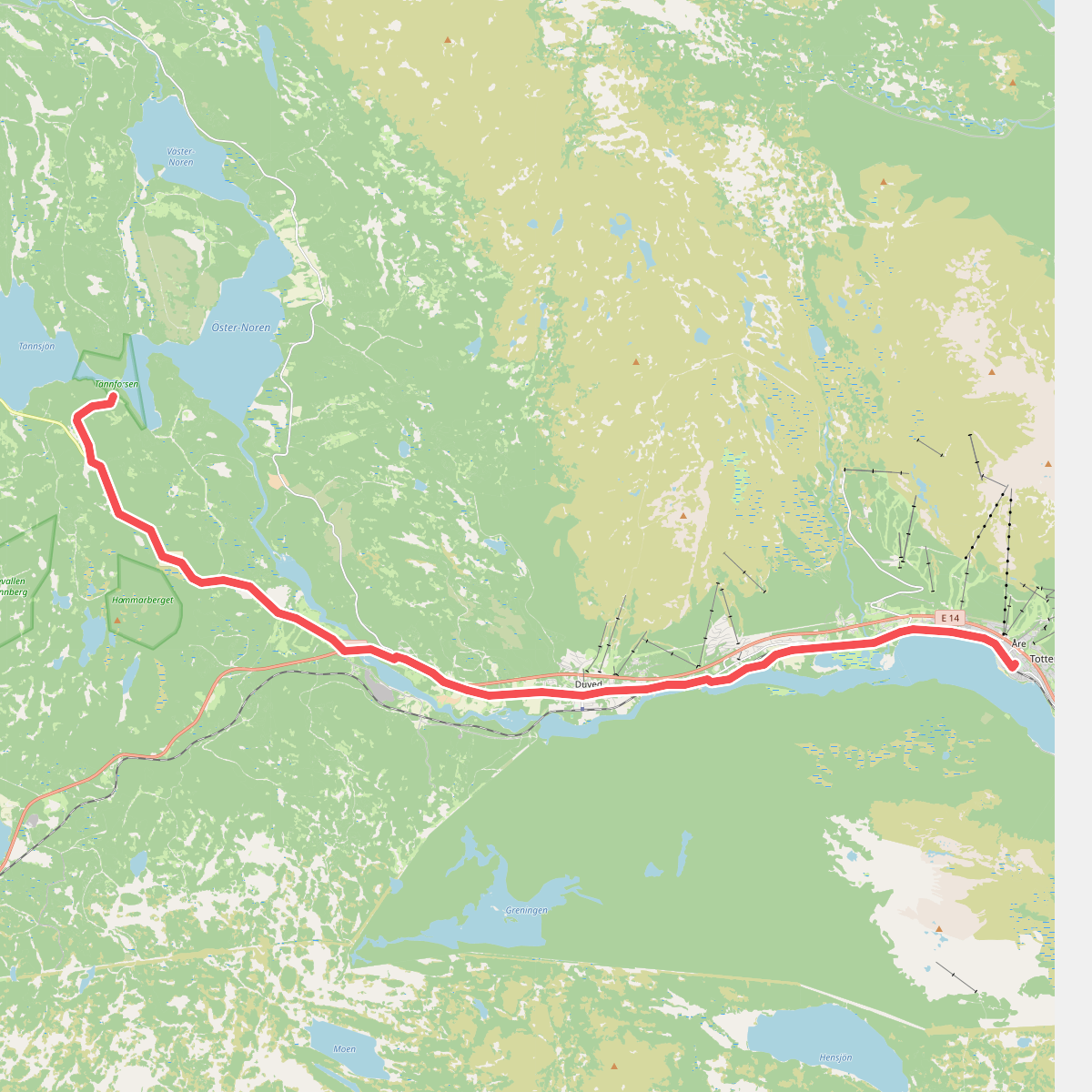
#1. Åre - Tännforsen, vandring · St. Olavsleden etappe 17
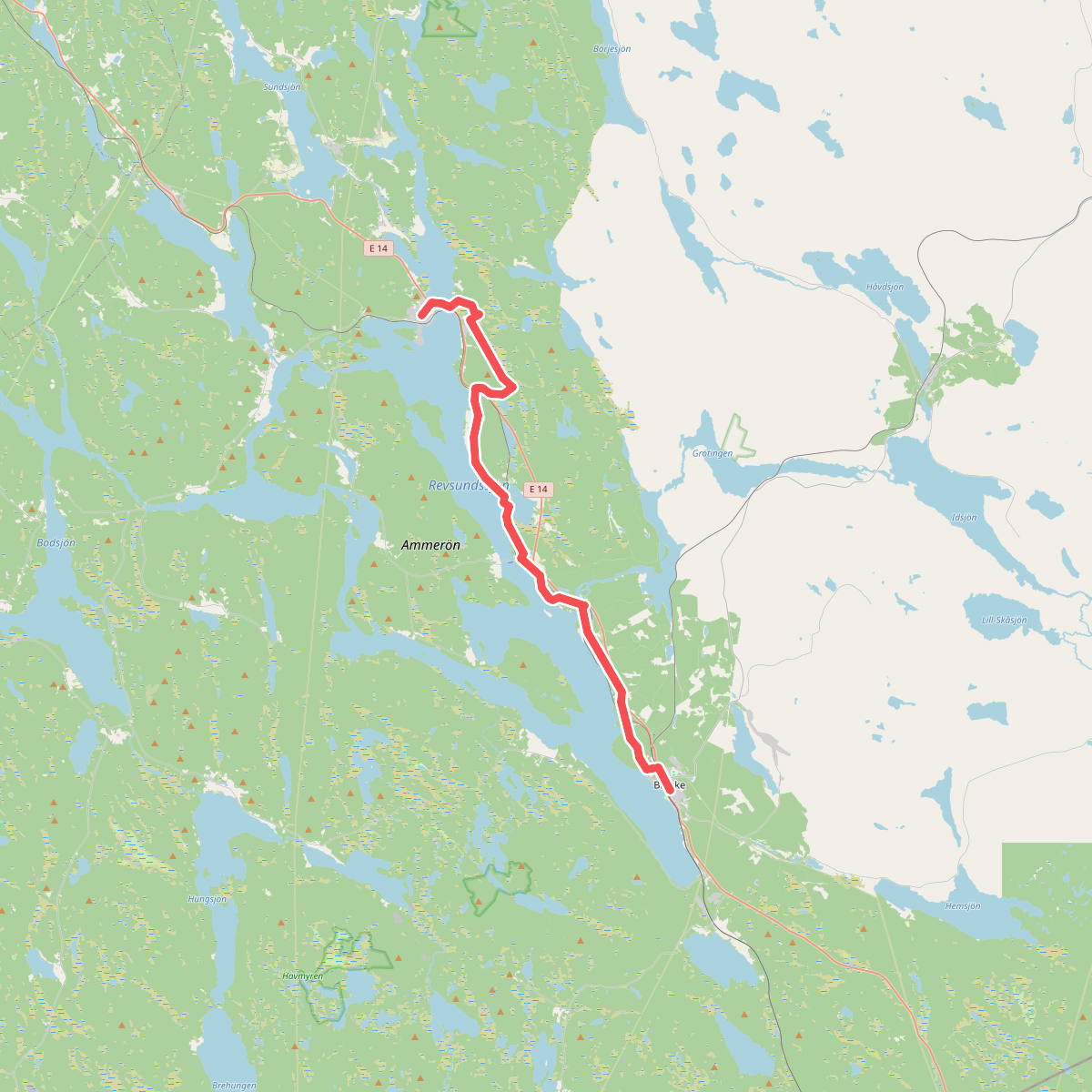
#2. Bräcke - Gällö, vandring · St. Olavsleden etappe 7
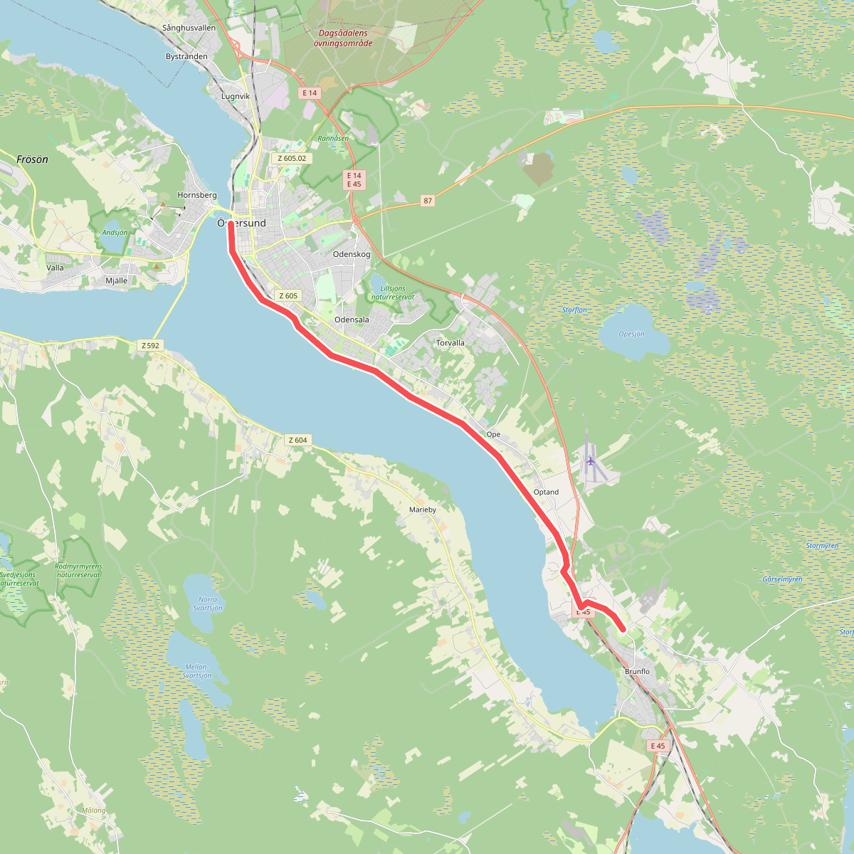
#3. Brunflo - Östersund, vandring · St. Olavsleden etappe 10
Östersund
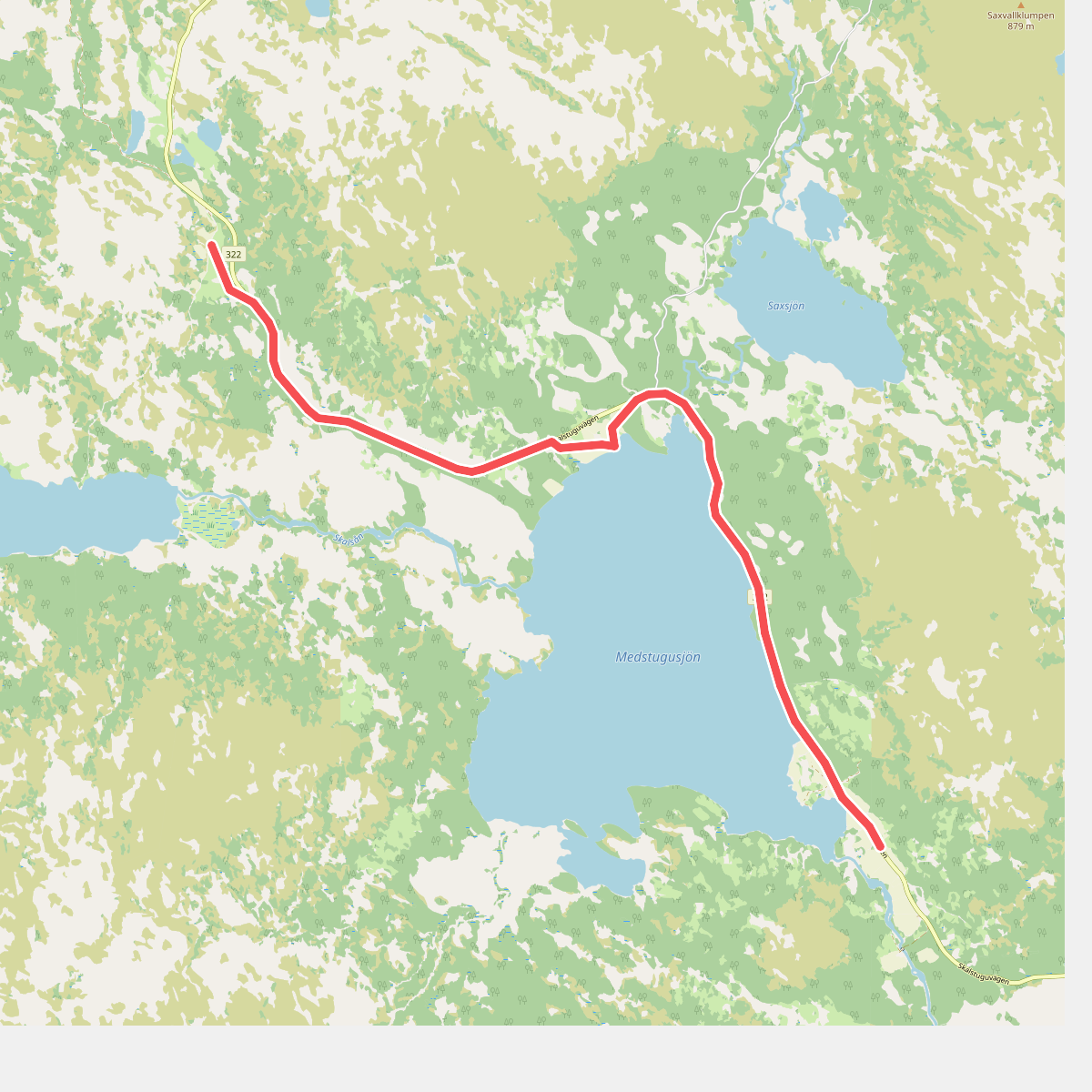
#4. Medstugan - Skalstugan, vandring · St. Olavsleden etappe 19
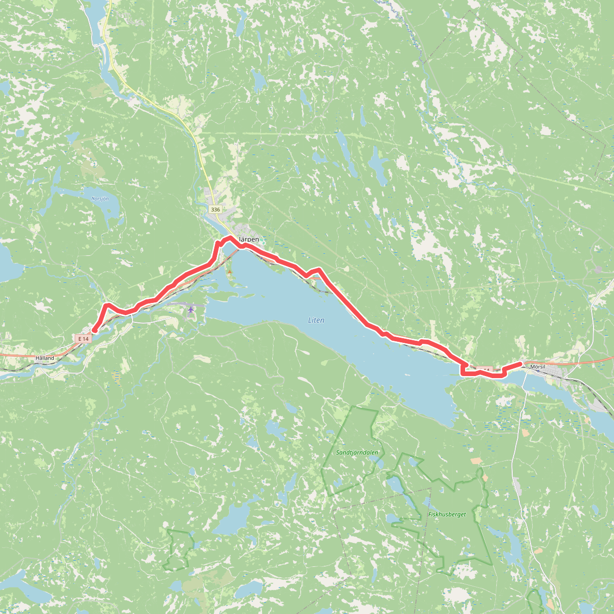
#5. Mörsil - Hålland, vandring · St. Olavsleden etappe 15
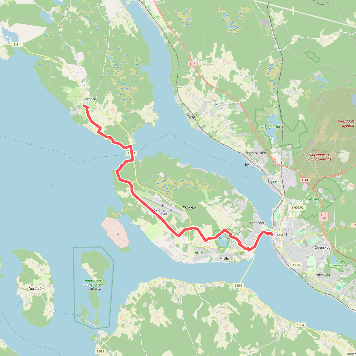
#6. Östersund - Rödön, vandring · St. Olavsleden etappe 11
Östersund
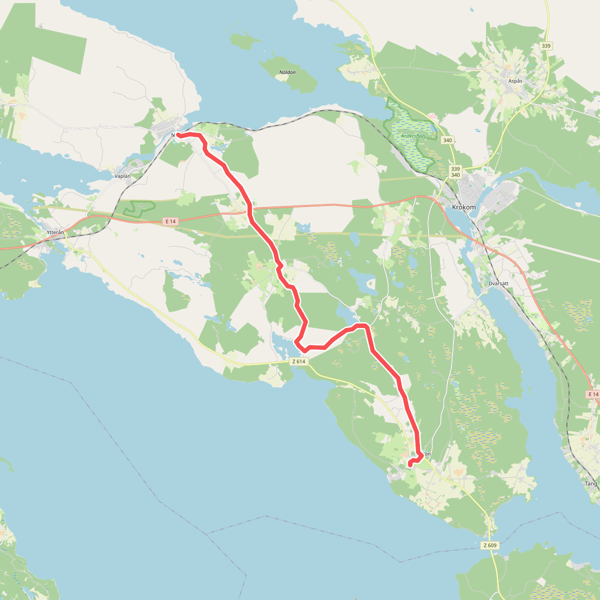
#7. Rödön - Nälden, vandring · St. Olavsleden etappe 12
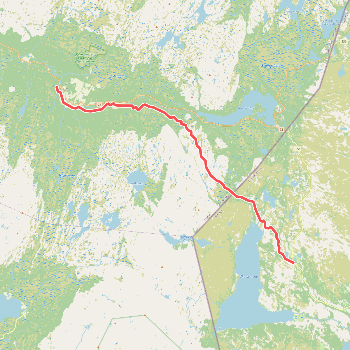
#8. Skalstugan - Riksgränsen - Sul, vandring · St. Olavsleden etappe 20
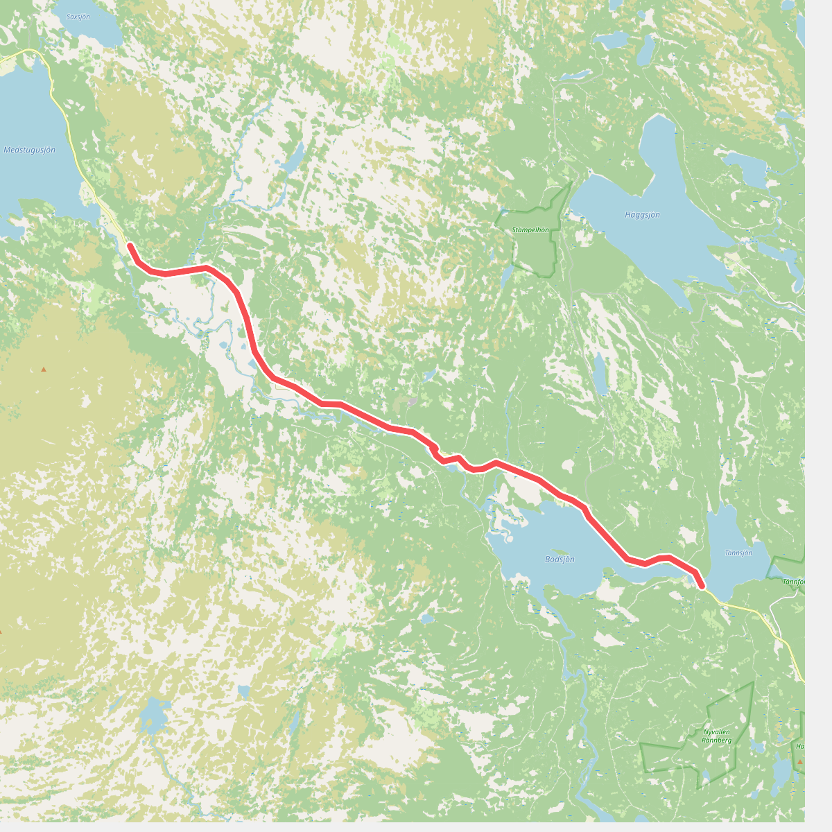
#9. Tännforsen – Medstugan · St. Olavsleden etappe 18
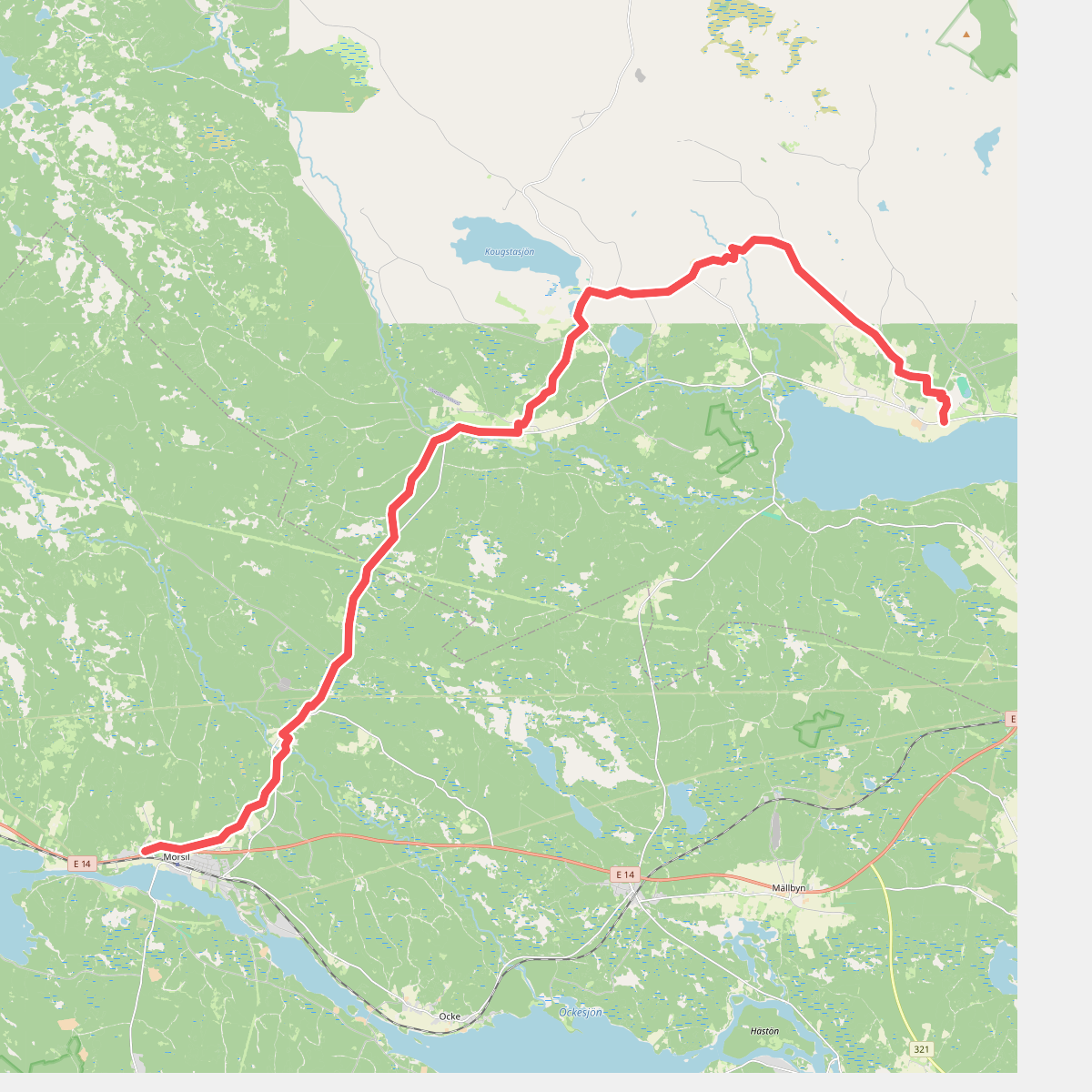
#10. Alsen - Mörsil, vandring · St. Olavsleden etappe 14
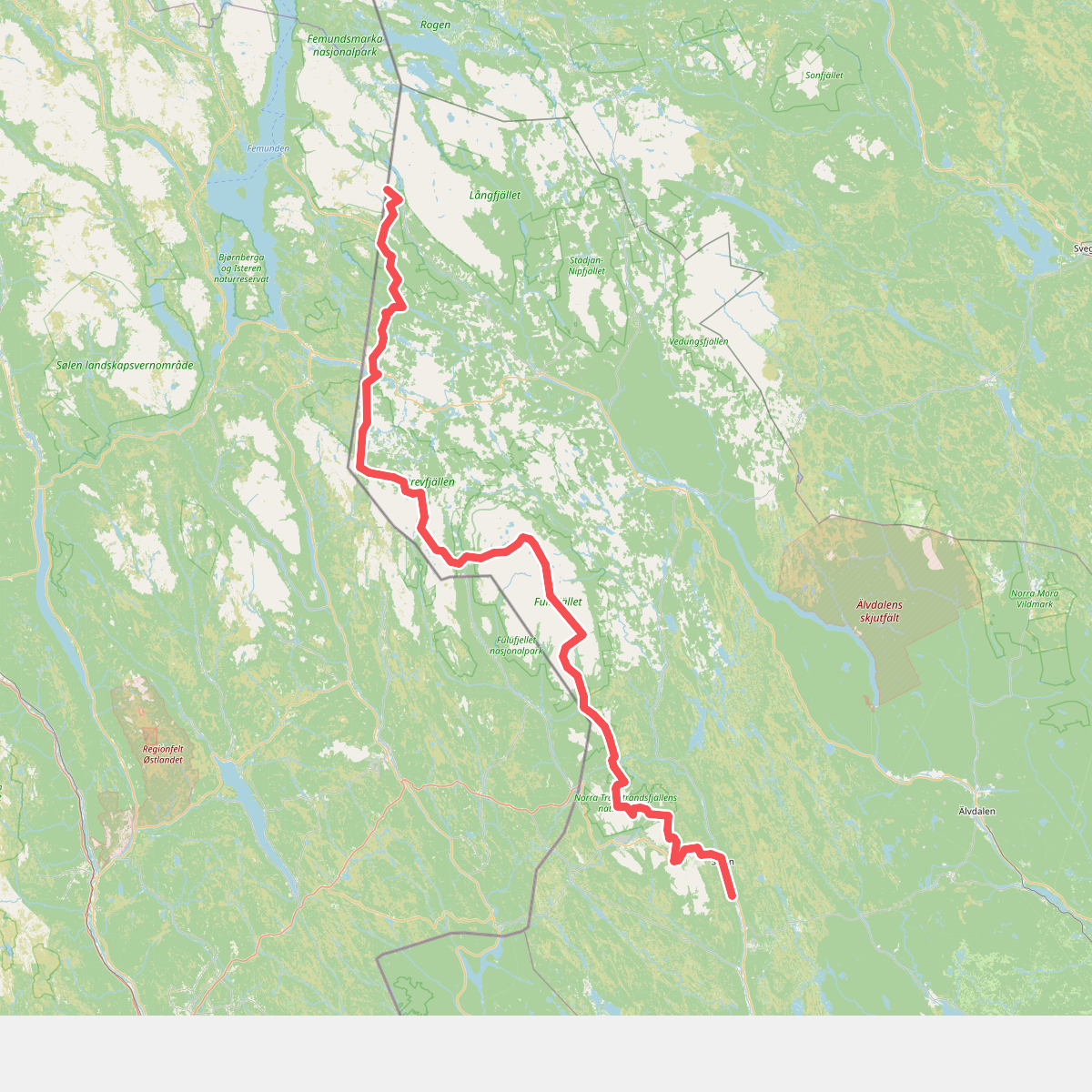
#11. Connector Norwegian/Swedish border - Vasaloppsleden