The best hiking routes in Innlandet
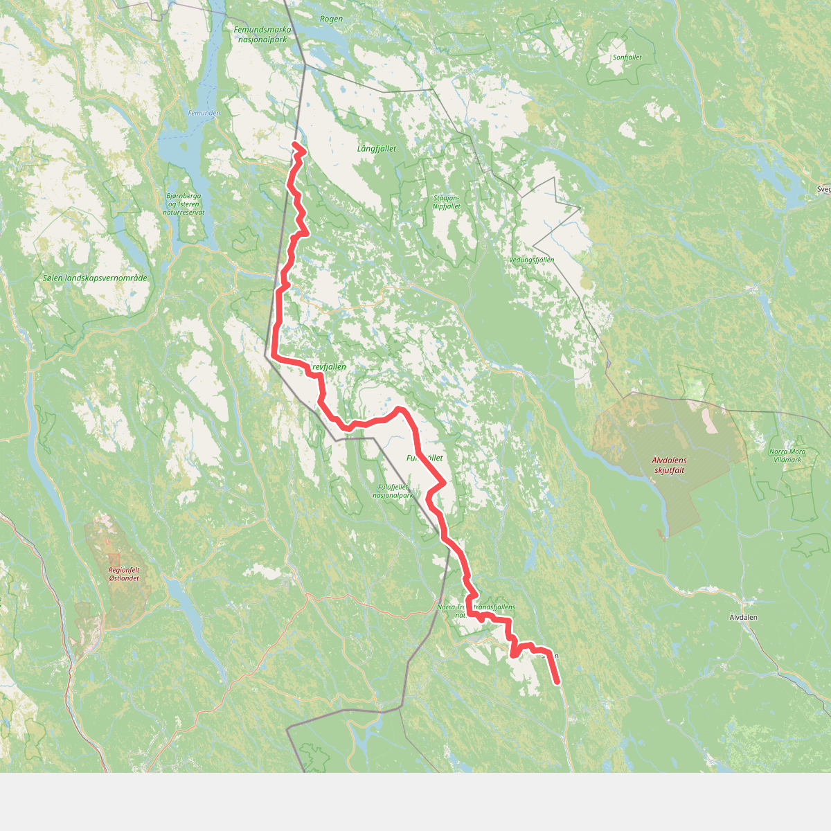
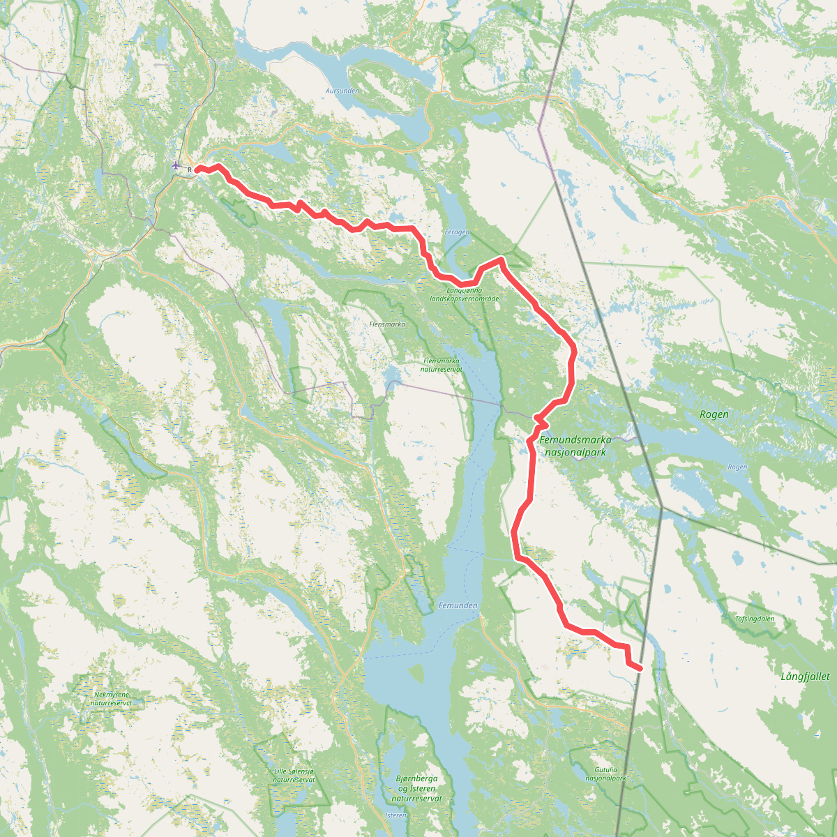
Discover the best walks in Innlandet. 2 routes on the map, with descriptions, photos and GPX.
About Innlandet
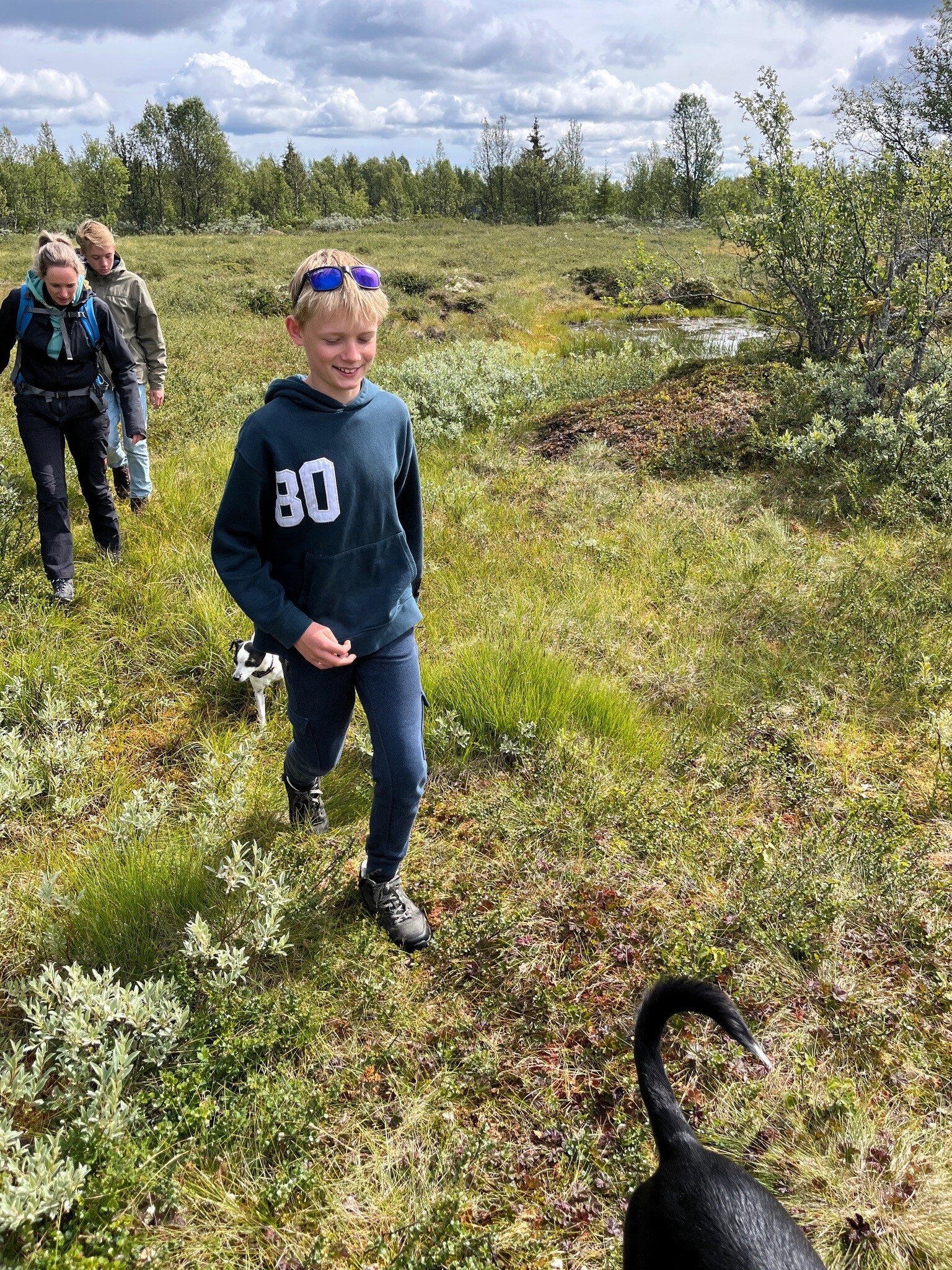
Innlandet presents a stark choice between the rugged, high-altitude rock of the west and the gentler, forested plateaus of the east. In Jotunheimen nasjonalpark, walkers encounter Norway's highest peaks, where the paths are dominated by grey gneiss boulders, steep scree slopes, and active glaciers. This is demanding terrain where progress is measured in slow, deliberate steps over bare rock. In contrast, eastern areas like Femundsmarka nasjonalpark offer a flatter landscape of ancient pine forests, moraine ridges, and boulder fields deposited by the last ice age, where the walking is less about vertical climb and more about navigating labyrinthine lake systems.
Read more
About Innlandet
Innlandet presents a stark choice between the rugged, high-altitude rock of the west and the gentler, forested plateaus of the east. In Jotunheimen nasjonalpark, walkers encounter Norway's highest peaks, where the paths are dominated by grey gneiss boulders, steep scree slopes, and active glaciers. This is demanding terrain where progress is measured in slow, deliberate steps over bare rock. In contrast, eastern areas like Femundsmarka nasjonalpark offer a flatter landscape of ancient pine forests, moraine ridges, and boulder fields deposited by the last ice age, where the walking is less about vertical climb and more about navigating labyrinthine lake systems.
Read moreInnlandet presents a stark choice between the rugged, high-altitude rock of the west and the gentler, forested plateaus of the east. In Jotunheimen nasjonalpark, walkers encounter Norway's highest peaks, where the paths are dominated by grey gneiss boulders, steep scree slopes, and active glaciers. This is demanding terrain where progress is measured in slow, deliberate steps over bare rock. In contrast, eastern areas like Femundsmarka nasjonalpark offer a flatter landscape of ancient pine forests, moraine ridges, and boulder fields deposited by the last ice age, where the walking is less about vertical climb and more about navigating labyrinthine lake systems.
For those seeking a middle ground, Rondane nasjonalpark features dry, lichen-covered soil and rounded stone massifs that are easier underfoot than the western peaks, though still high enough to sit above the tree line. In these central and eastern parks, the ground is often a mix of soft reindeer moss, peat, and sandy tracks, though glacial debris is a constant feature. In Breheimen nasjonalpark, the landscape is defined by its proximity to ice sheets, meaning walkers will cross damp glacial valleys and wet silt flats.
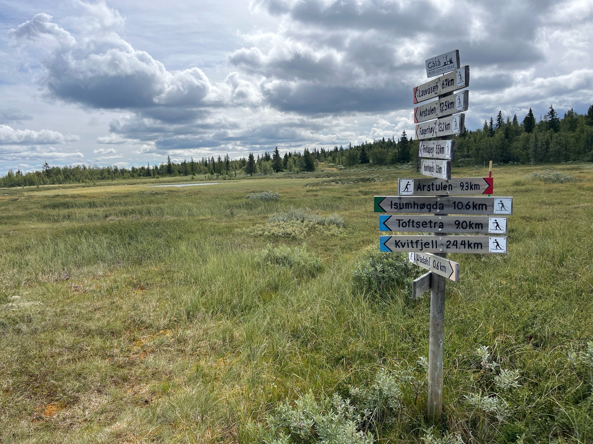
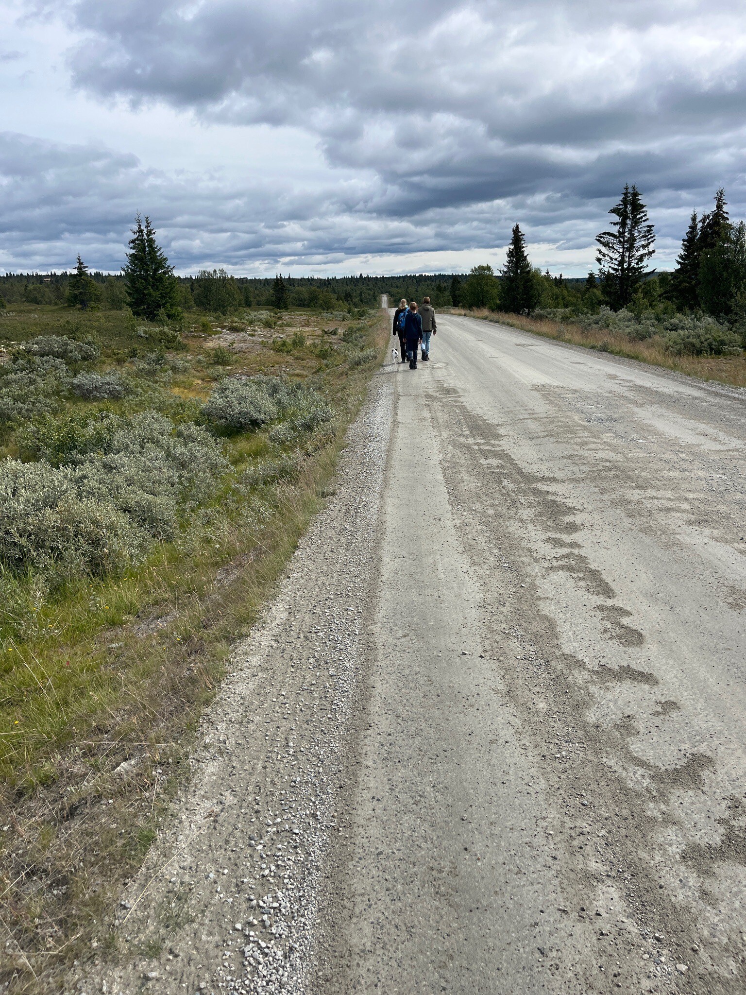
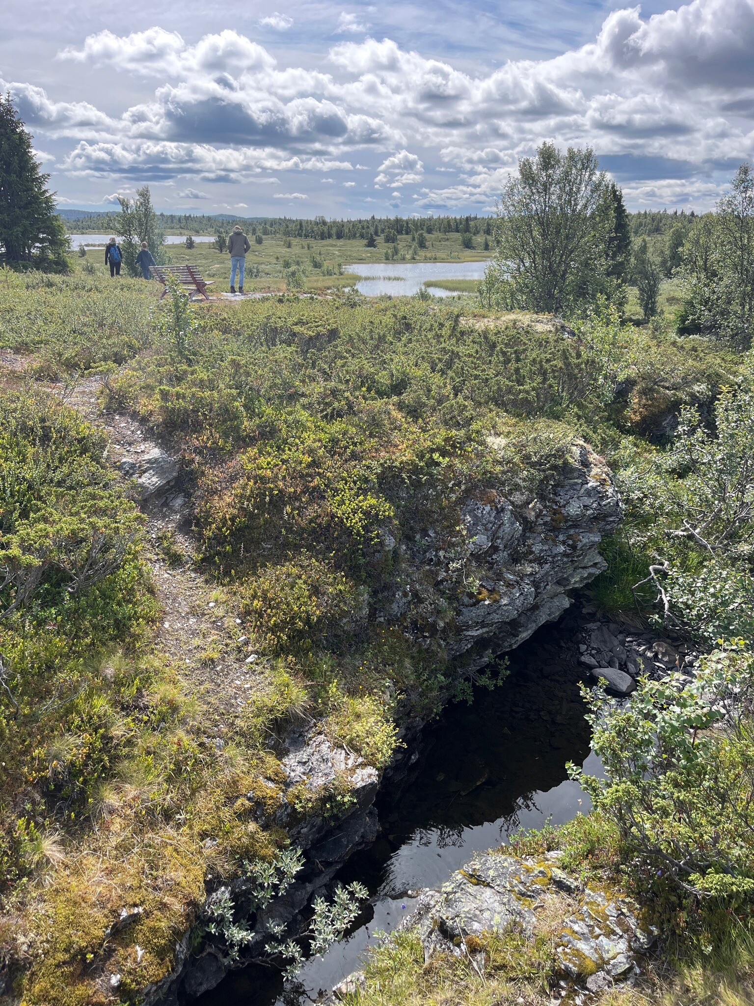
When choosing a route, expect well-marked trails near popular trailheads, while the vast interior plateaus of Reinheimen nasjonalpark require navigation skills as signposts are rare. In September, the dwarf birch and willow shrubs across Dovrefjell-Sunndalsfjella nasjonalpark turn a deep rust-red, signaling the rapid transition to autumn before the first snows cover the high tundra.
Nature areas in Innlandet
Zoom or pan for more routes