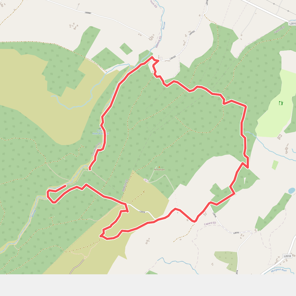
The best hiking routes in County Laois
Discover the best walks in County Laois. 20 routes on the map, with descriptions, photos and GPX.
About County Laois
County Laois is entirely landlocked, offering a landscape defined by low-lying farmland, peat bogs, and the old sandstone ridges of the Slieve Bloom Mountains. Walkers should not expect dramatic coastal cliffs or high alpine peaks here. Instead, the county is characterized by gently rolling terrain and quiet forestry tracks. The underlying limestone geology means you will often find fertile, grassy paths in the valleys, while the higher ground quickly transitions to thick blanket bog where wet peat and heather dominate.
Read more
About County Laois
County Laois is entirely landlocked, offering a landscape defined by low-lying farmland, peat bogs, and the old sandstone ridges of the Slieve Bloom Mountains. Walkers should not expect dramatic coastal cliffs or high alpine peaks here. Instead, the county is characterized by gently rolling terrain and quiet forestry tracks. The underlying limestone geology means you will often find fertile, grassy paths in the valleys, while the higher ground quickly transitions to thick blanket bog where wet peat and heather dominate.
Read moreCounty Laois is entirely landlocked, offering a landscape defined by low-lying farmland, peat bogs, and the old sandstone ridges of the Slieve Bloom Mountains. Walkers should not expect dramatic coastal cliffs or high alpine peaks here. Instead, the county is characterized by gently rolling terrain and quiet forestry tracks. The underlying limestone geology means you will often find fertile, grassy paths in the valleys, while the higher ground quickly transitions to thick blanket bog where wet peat and heather dominate.
In the flatter parts of the county, the landscape is heavily shaped by industrial peat harvesting and agricultural drainage. Walking here means following flat, gravel canal towpaths or navigating the damp edges of cutaway bogs, where birch scrub is reclaiming the worked-out land. In contrast, the Slieve Bloom area in the northwest offers steeper climbs on forest roads and dedicated wooden boardwalks that protect the fragile bog surface. In November, these upland blanket bogs turn a deep rust-brown, contrasting sharply with the dark green of the commercial spruce plantations.
Underfoot, the terrain varies from firm forestry gravel and tarmac lanes to soft, waterlogged peat that requires sturdy footwear. While the more popular trailheads near the mountain valleys can attract local walkers on weekends, much of the county's network remains quiet and uncrowded. It is a region best suited for those who appreciate subtle changes in forestry, quiet river corridors, and wide, low-altitude views over the Irish midlands.
Zoom or pan for more routes
Hiking routes in County Laois (20)
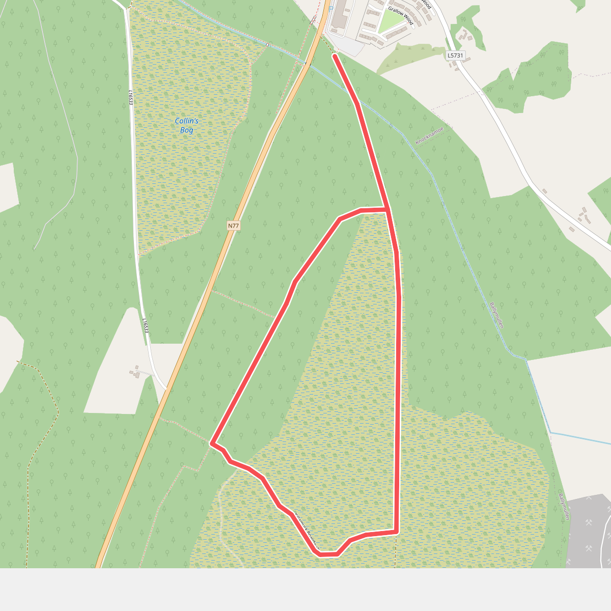
#1. Abbeyleix Bog Walk 1
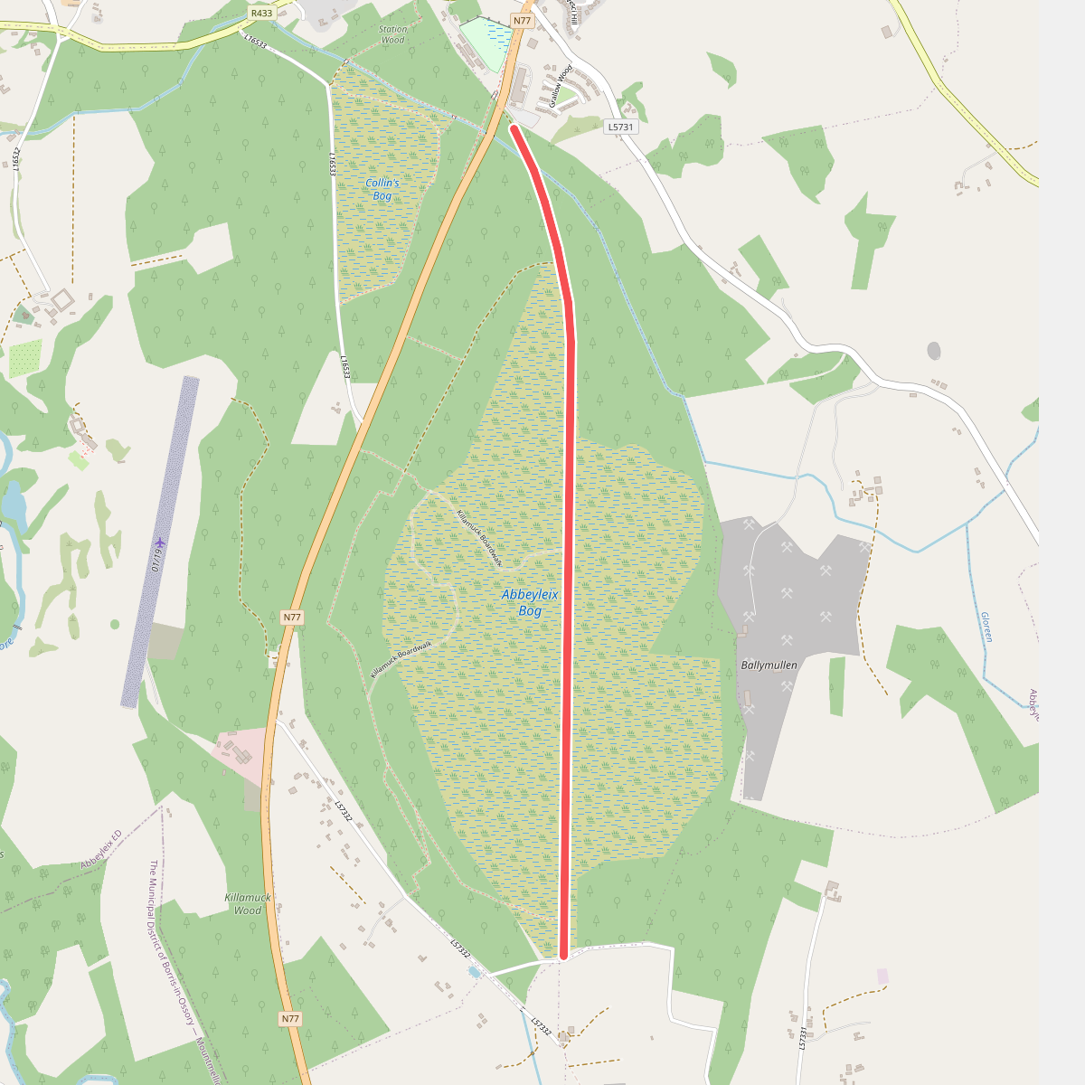
#2. Abbeyleix Bog Walk 2
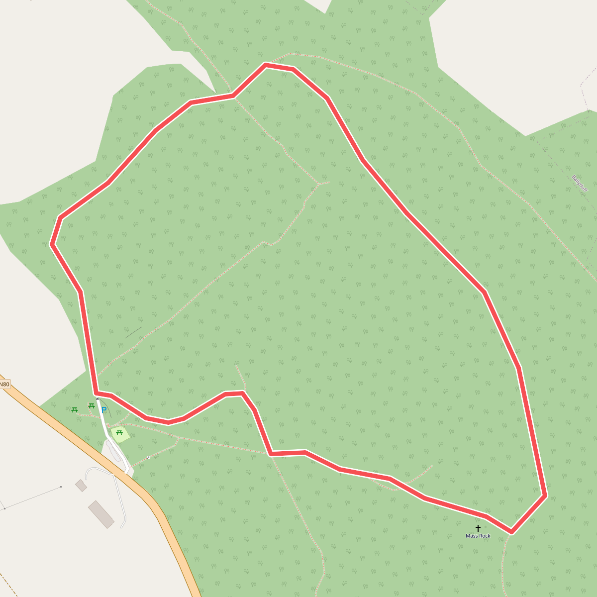
#3. Beech Way Walk
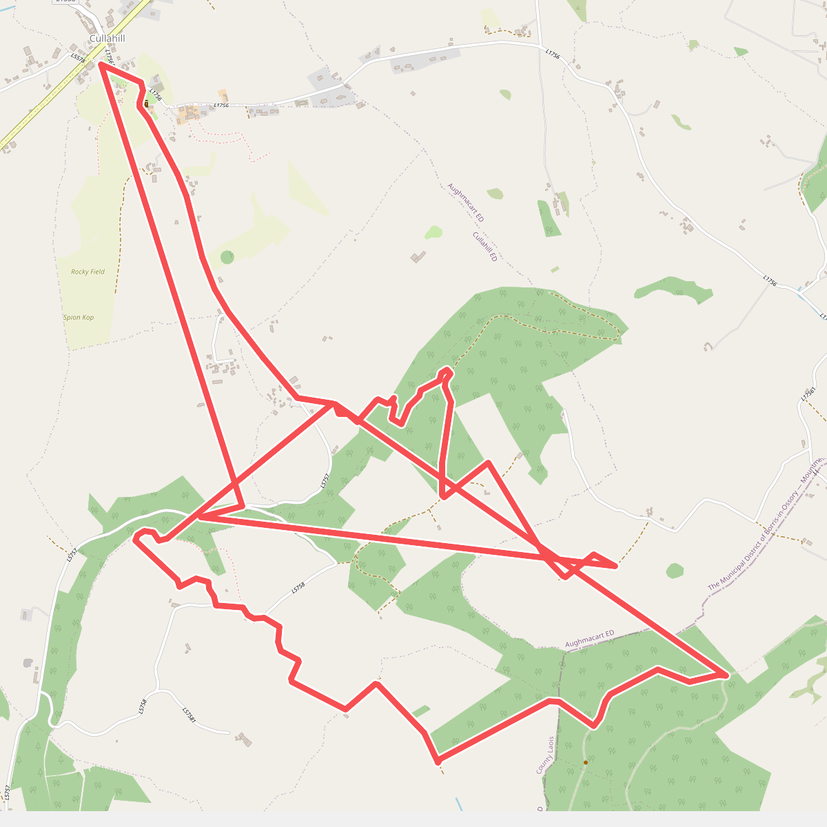
#4. Binnianea Loop
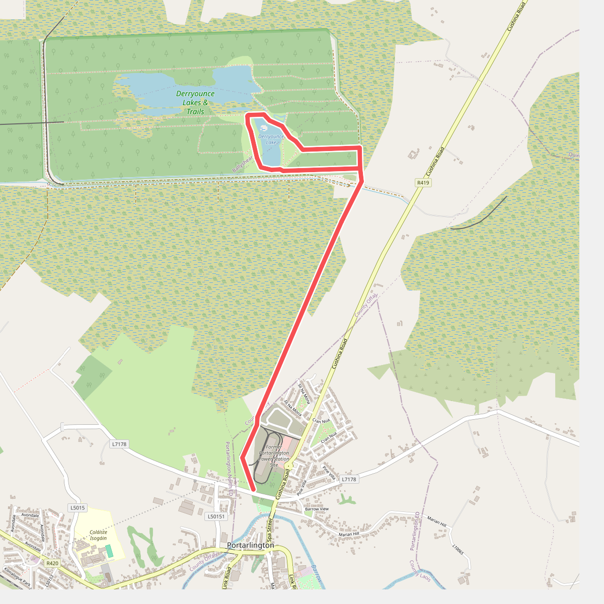
#5. Bog Lake Walk
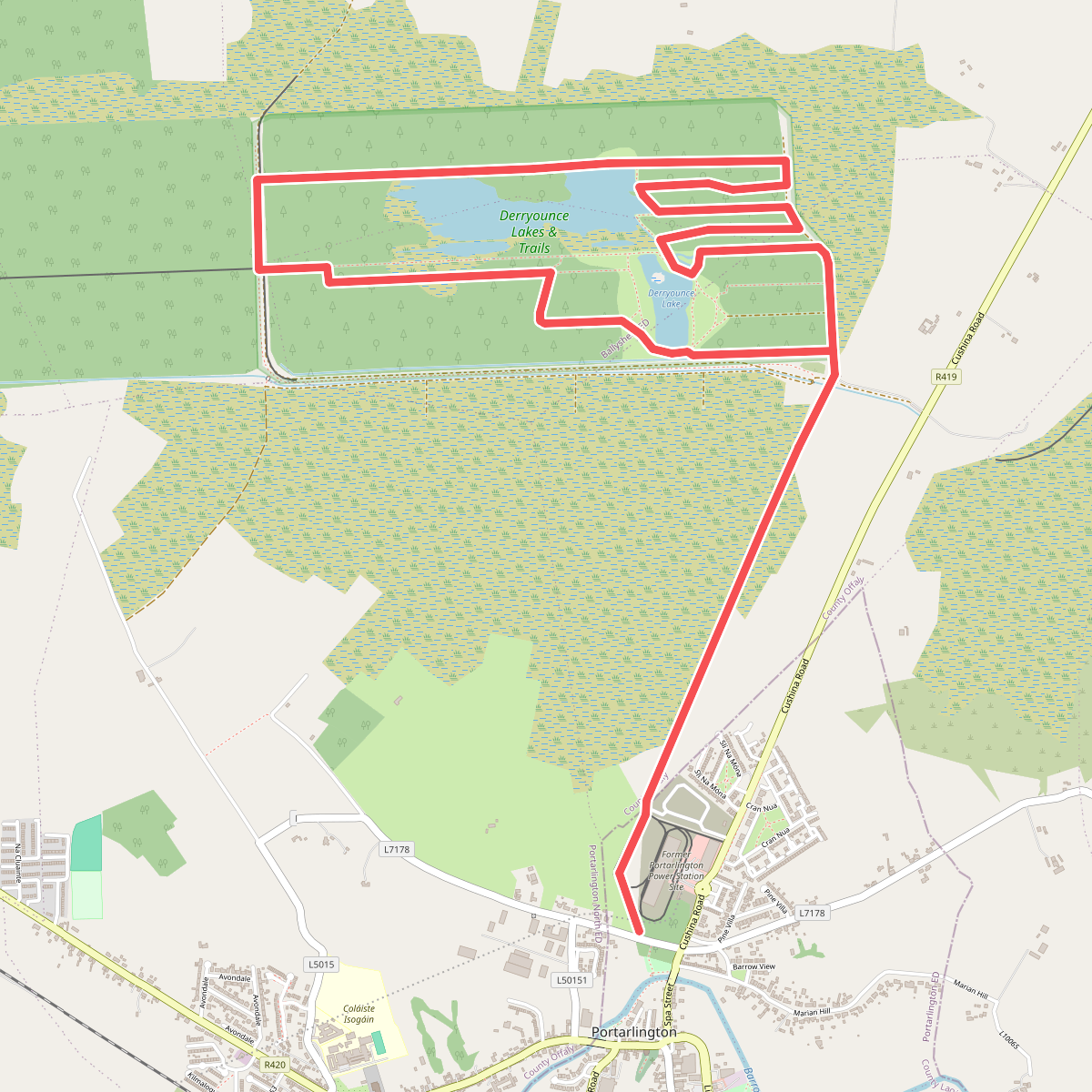
#6. Bog Oak Walk
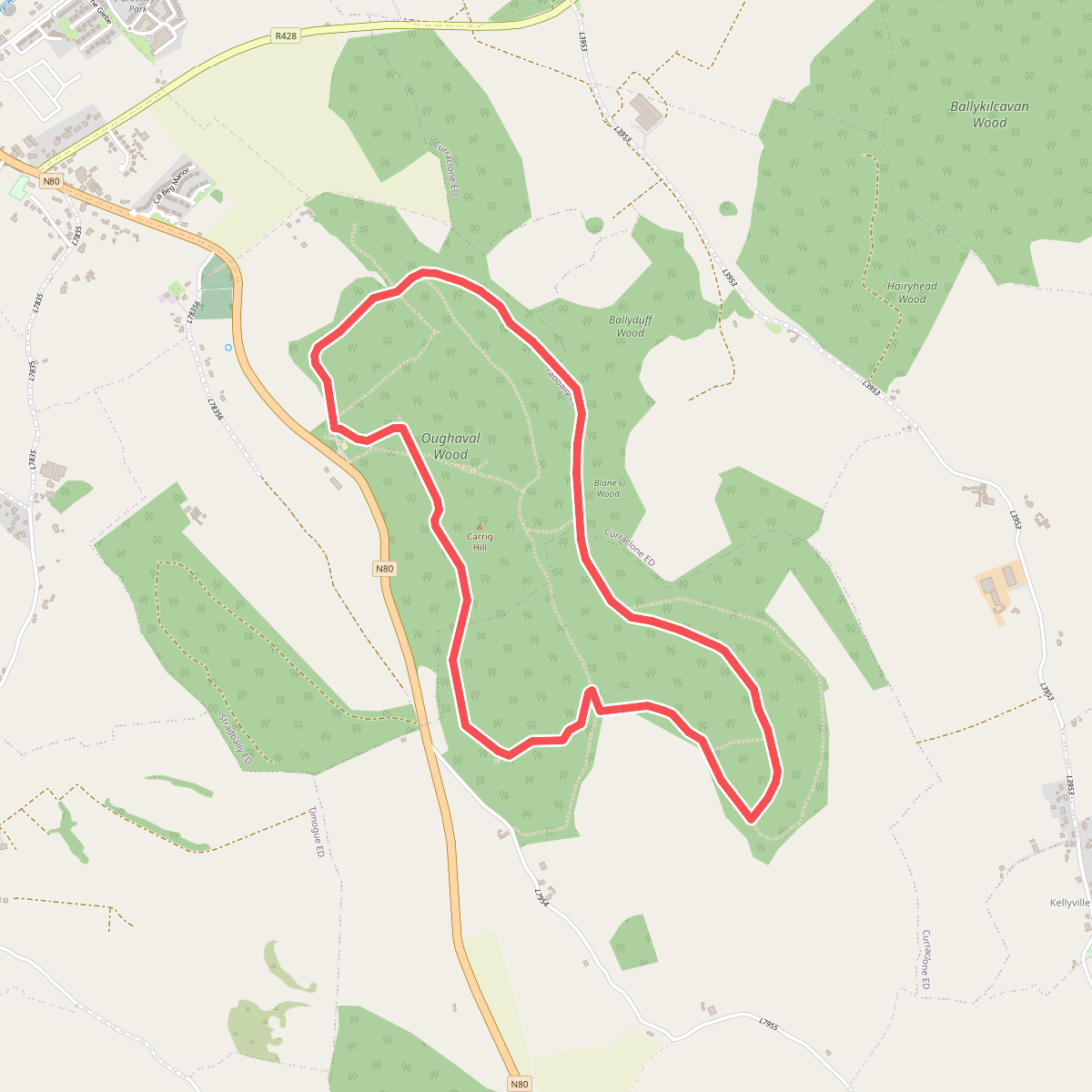
#7. Cobbler's Castle Walk
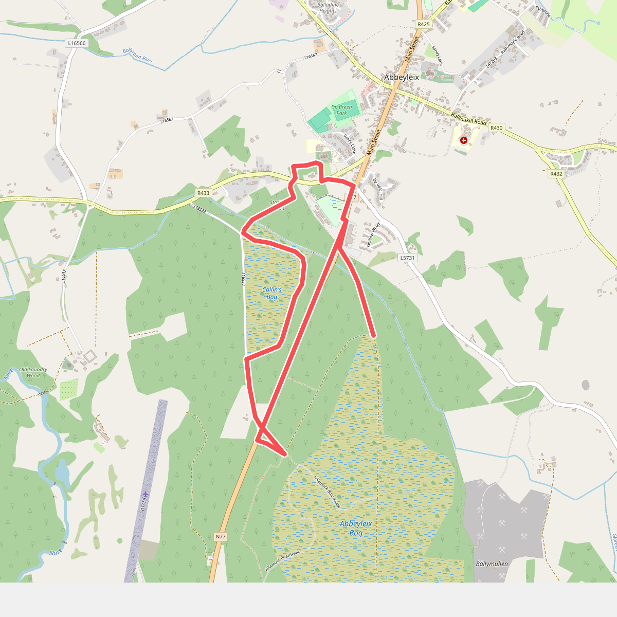
#8. Collin's Bog Loop
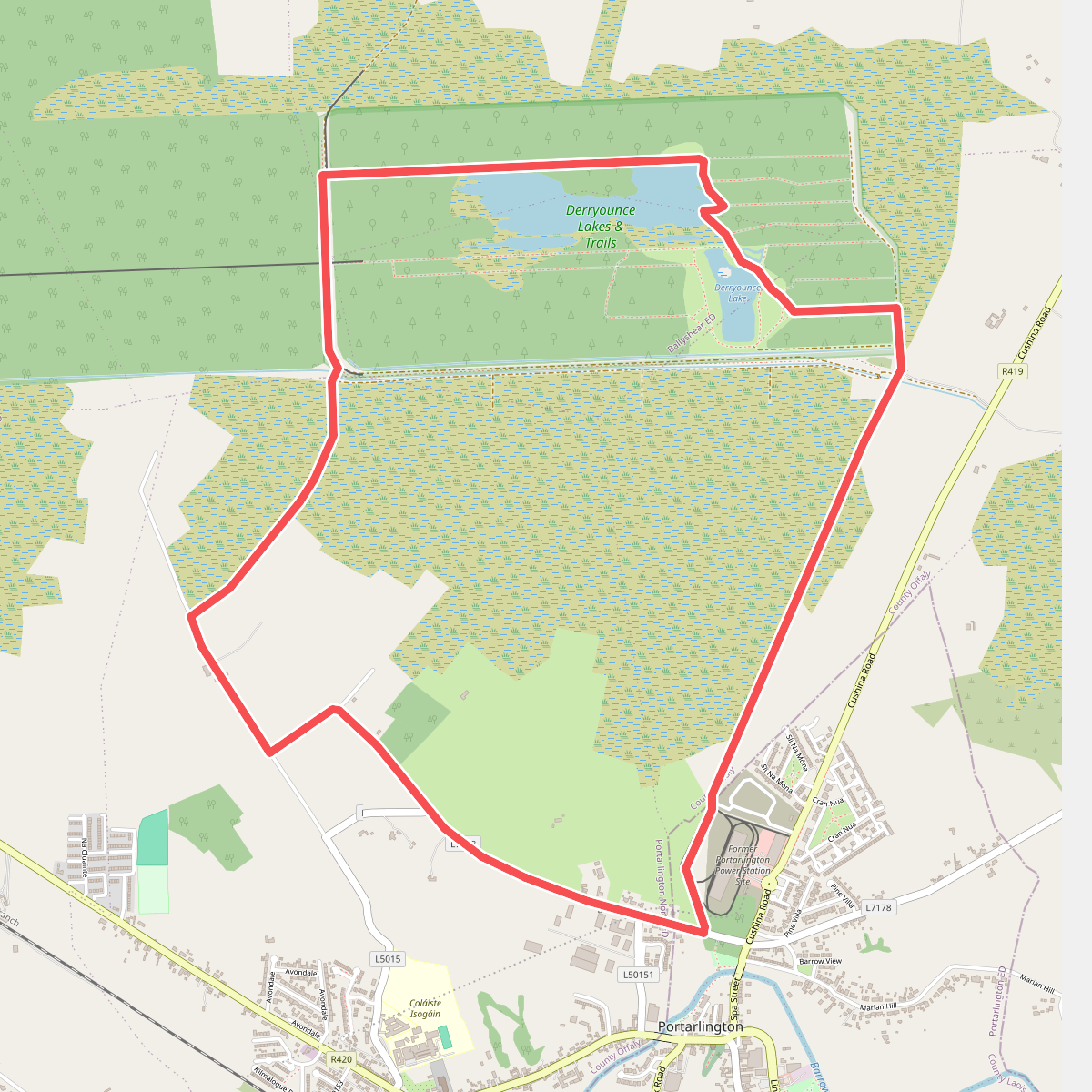
#9. Derryounce Walk (Red Loop)
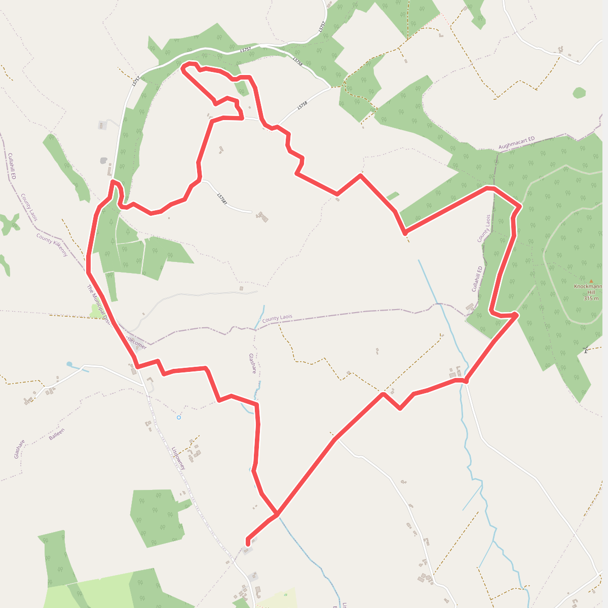
#10. Gathabawn Loop
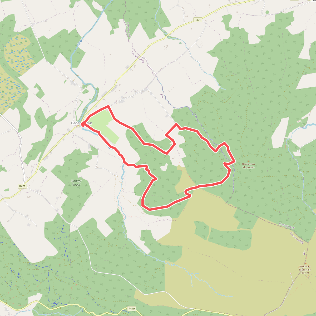
#11. Giant's Grave Loop