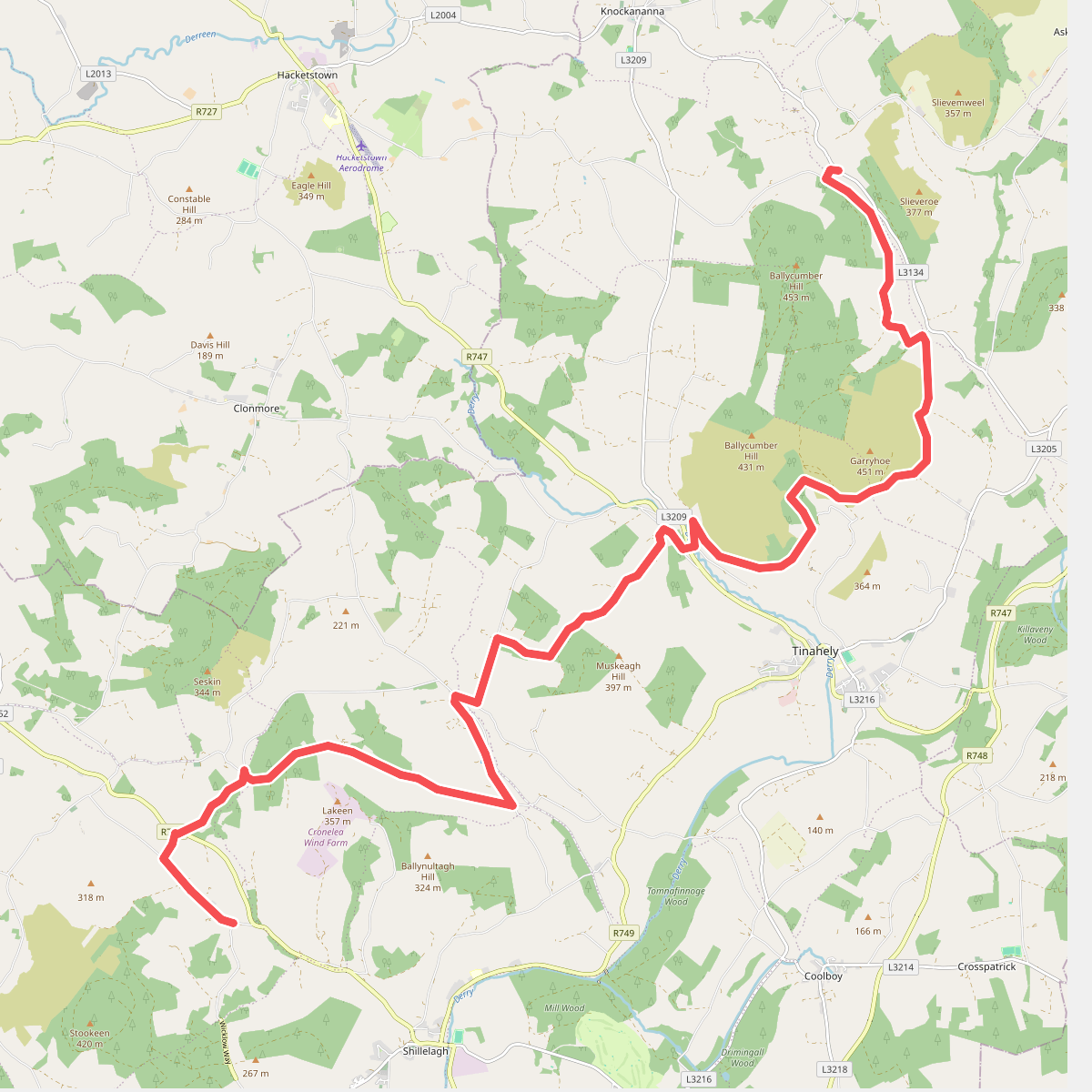
The best hiking routes in County Carlow
Discover the best walks in County Carlow. 19 routes on the map, with descriptions, photos and GPX.
About County Carlow
County Carlow is characterized by gentle, rolling agricultural plains and the steep, forested slopes of the Blackstairs Mountains along its eastern border. Walkers will not find high, rugged peaks or deep limestone gorges here. Instead, the landscape is defined by the contrast between the flat, clay-heavy paths along the River Barrow and the peat and granite tracks of the uplands. The lowlands are dominated by arable farming, meaning paths often follow ancient field boundaries and quiet rural lanes.
Read more
About County Carlow
County Carlow is characterized by gentle, rolling agricultural plains and the steep, forested slopes of the Blackstairs Mountains along its eastern border. Walkers will not find high, rugged peaks or deep limestone gorges here. Instead, the landscape is defined by the contrast between the flat, clay-heavy paths along the River Barrow and the peat and granite tracks of the uplands. The lowlands are dominated by arable farming, meaning paths often follow ancient field boundaries and quiet rural lanes.
Read moreCounty Carlow is characterized by gentle, rolling agricultural plains and the steep, forested slopes of the Blackstairs Mountains along its eastern border. Walkers will not find high, rugged peaks or deep limestone gorges here. Instead, the landscape is defined by the contrast between the flat, clay-heavy paths along the River Barrow and the peat and granite tracks of the uplands. The lowlands are dominated by arable farming, meaning paths often follow ancient field boundaries and quiet rural lanes.
For a flat, linear walk, the Barrow Way offers miles of grassy towpaths and gravel tracks. Here, the water is kept slow by historic stone locks, and the underfoot terrain is consistently level, though often soft after rain. In contrast, the Mount Leinster region provides steeper climbs on rougher gravel and peat tracks. This upland area is dominated by low heather and gorse, which turns a deep purple in August, offering a completely different texture and gradient to the river valley.
Choosing where to walk depends on your preference for flat river walking or exposed hillside tracks. The river paths are sheltered by deciduous trees and pass through small canal towns, while the mountain routes are open to the elements with little tree cover. Both areas are generally quiet, though the trailheads near Mount Leinster can see more foot traffic on weekends.
Zoom or pan for more routes
Hiking routes in County Carlow (19)
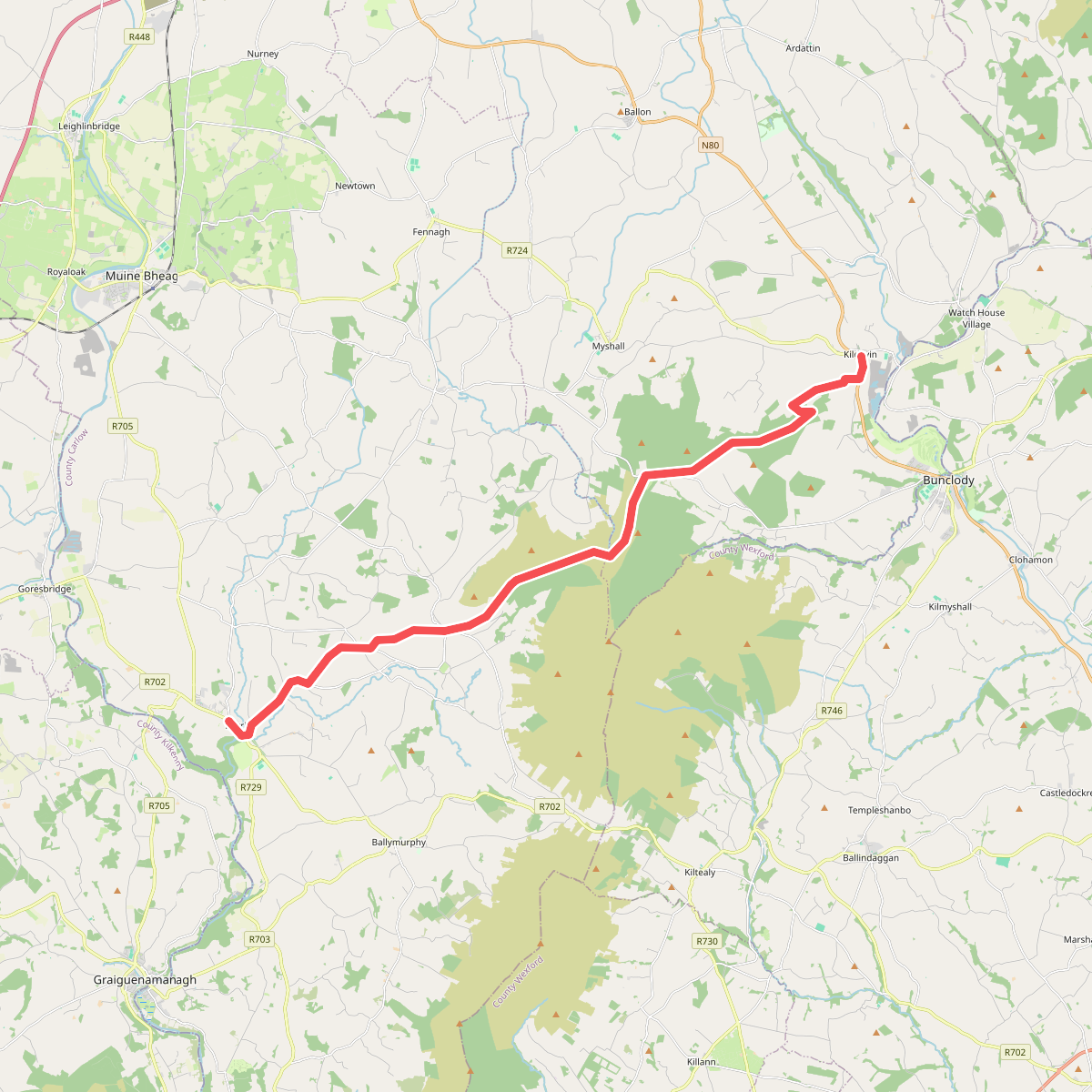
#1. Borris - Kildavin
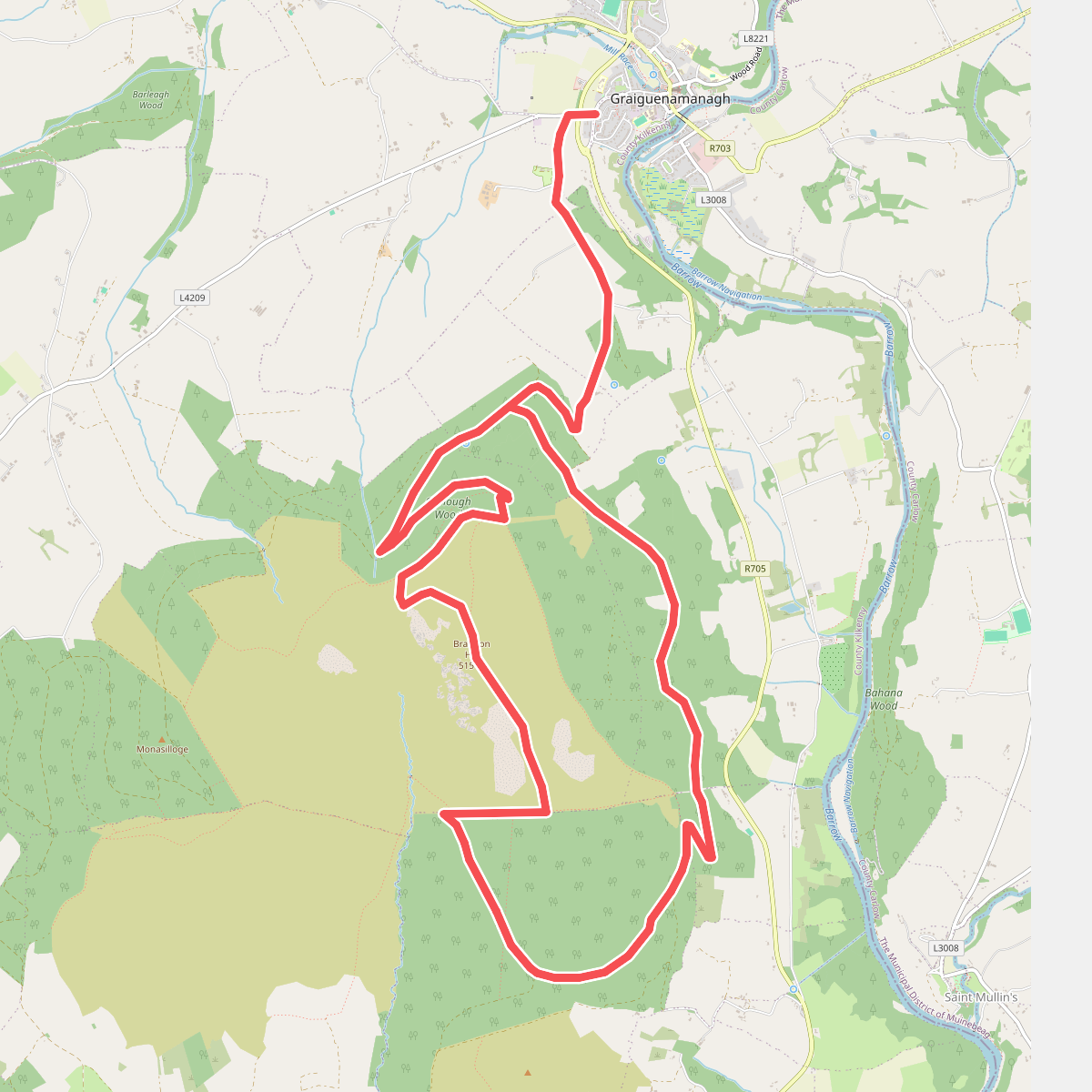
#2. Brandon Hill Loop
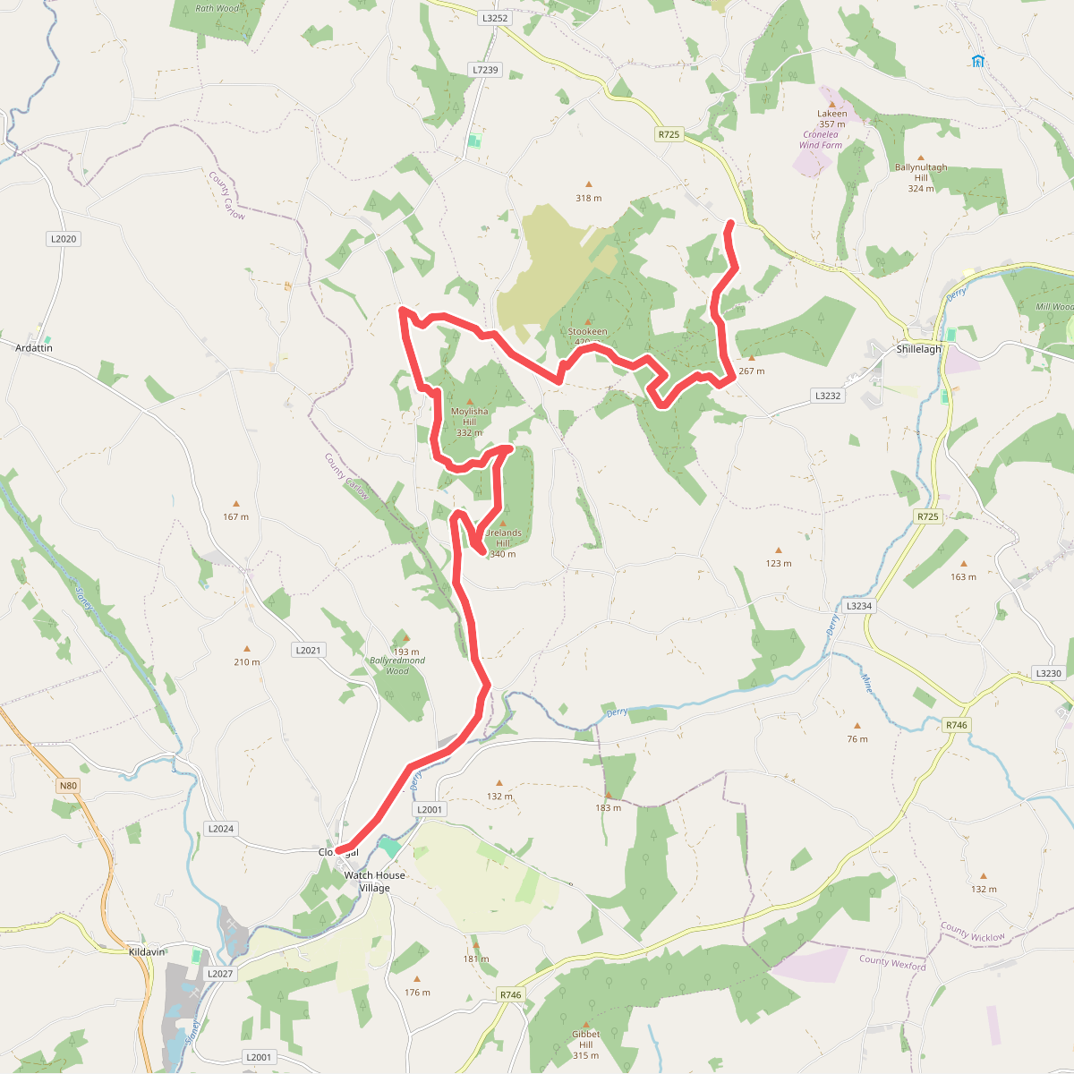
#3. Clonegal - Shillelagh
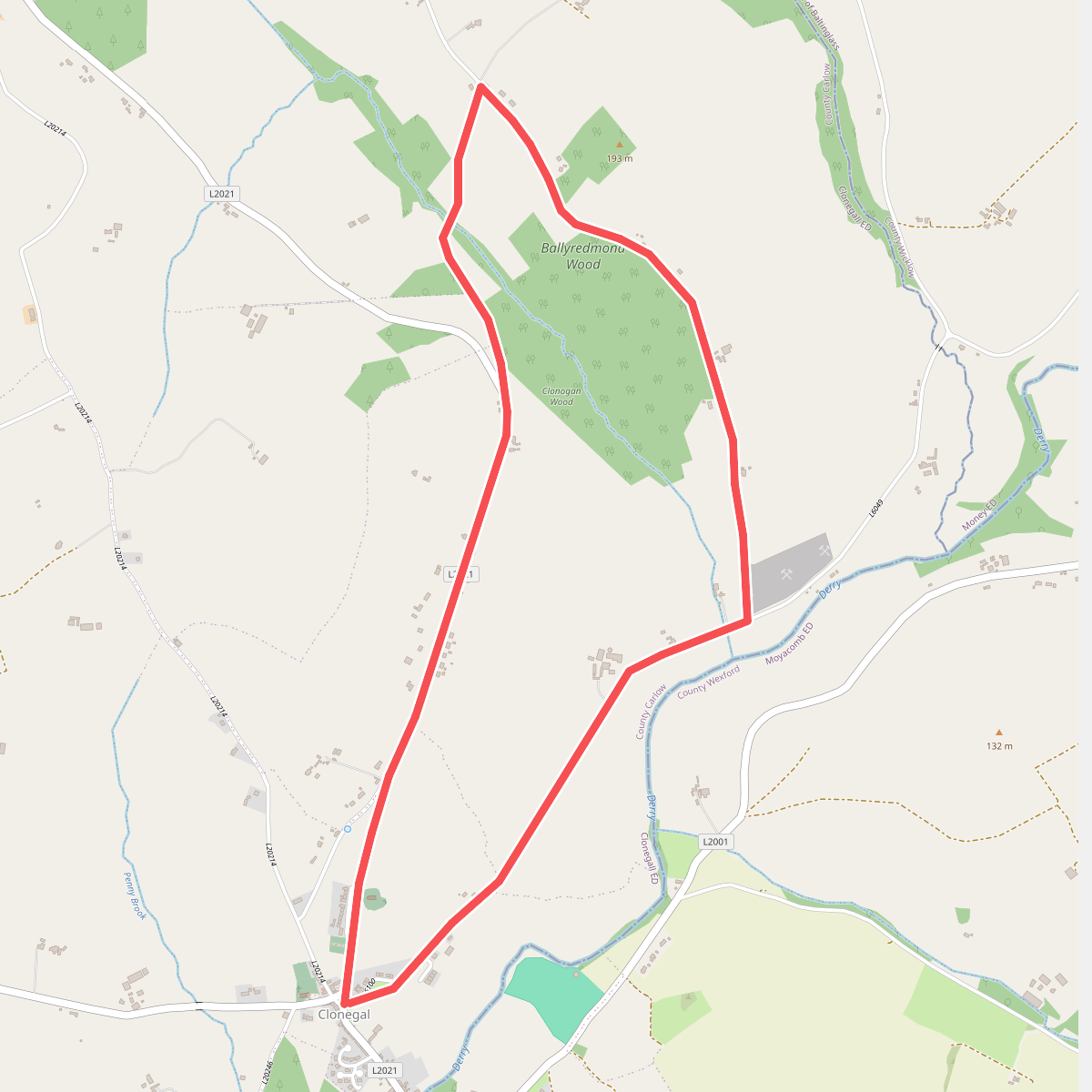
#4. Clonegal Slí na Sláinte
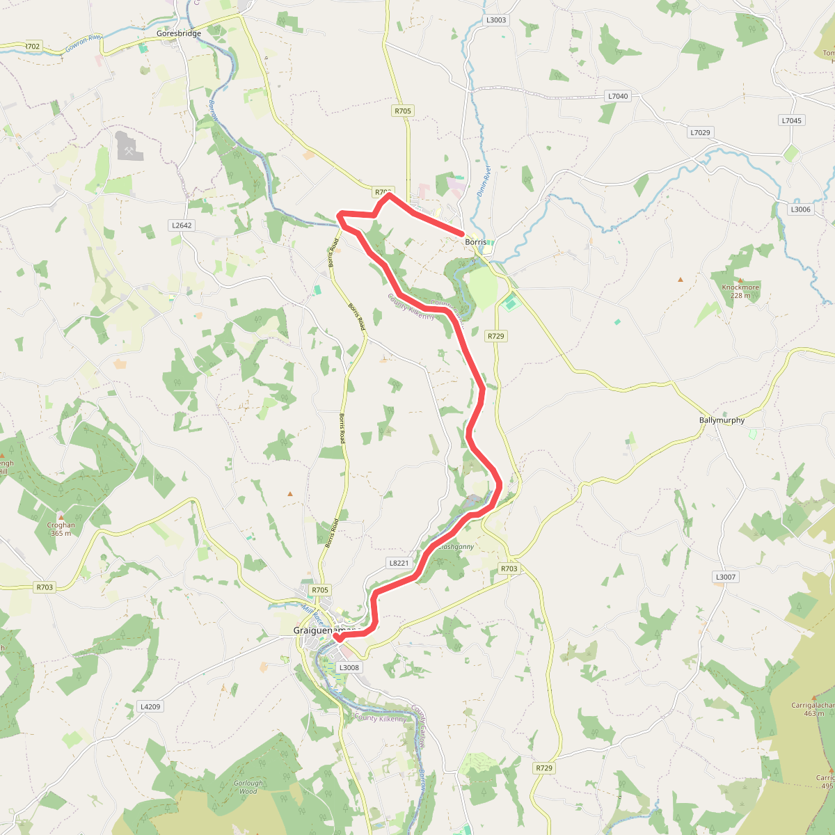
#5. Graiguenamanagh - Borris
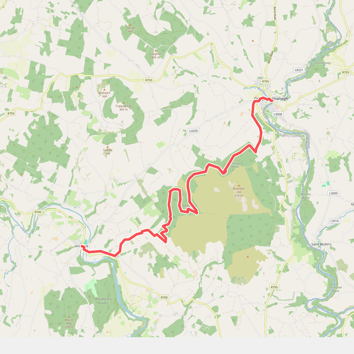
#6. Inistioge - Graiguenamanagh
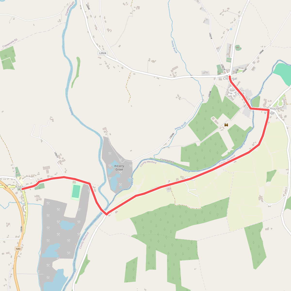
#7. Kildavin - Clonegal
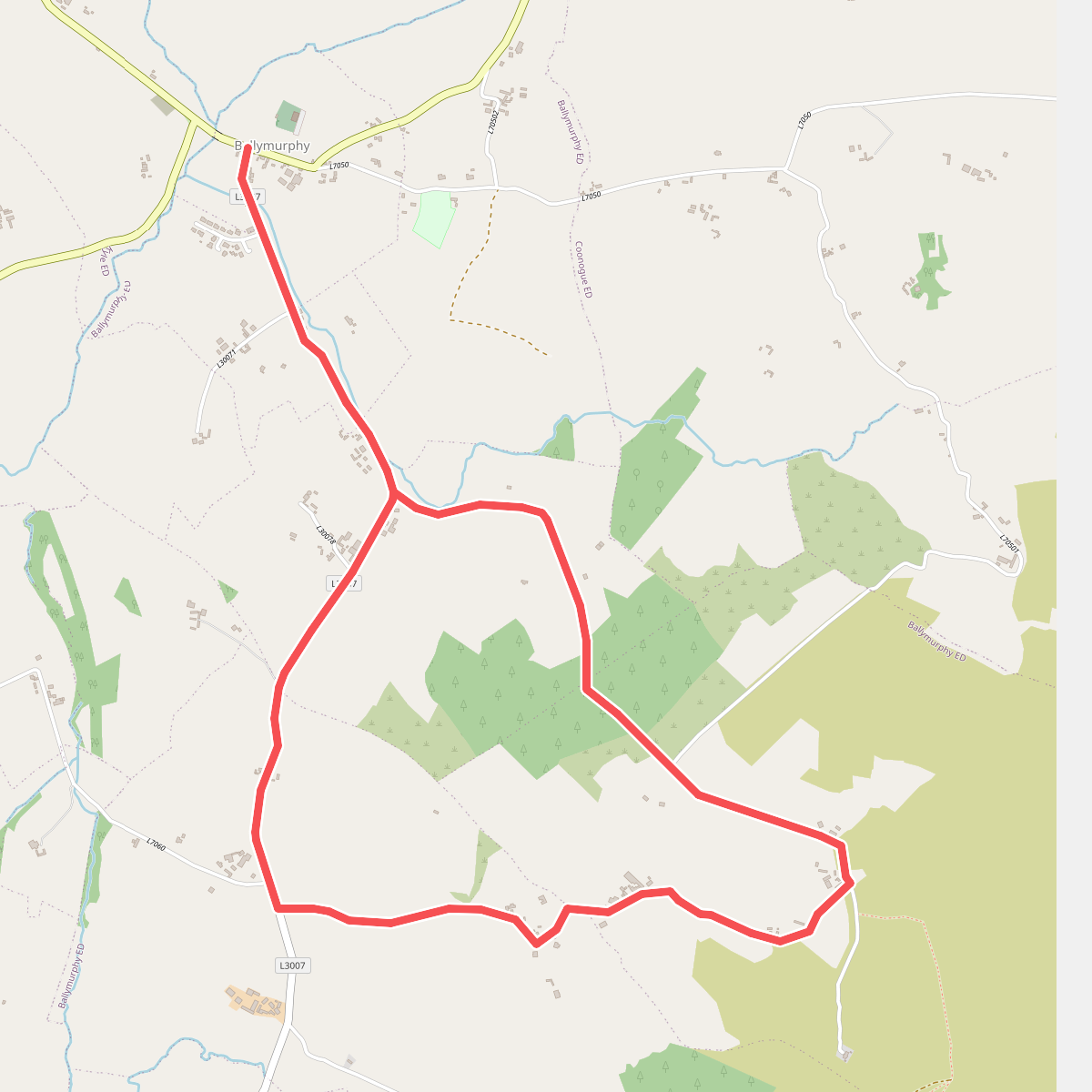
#8. Knockmullgurry Slí na Sláinte
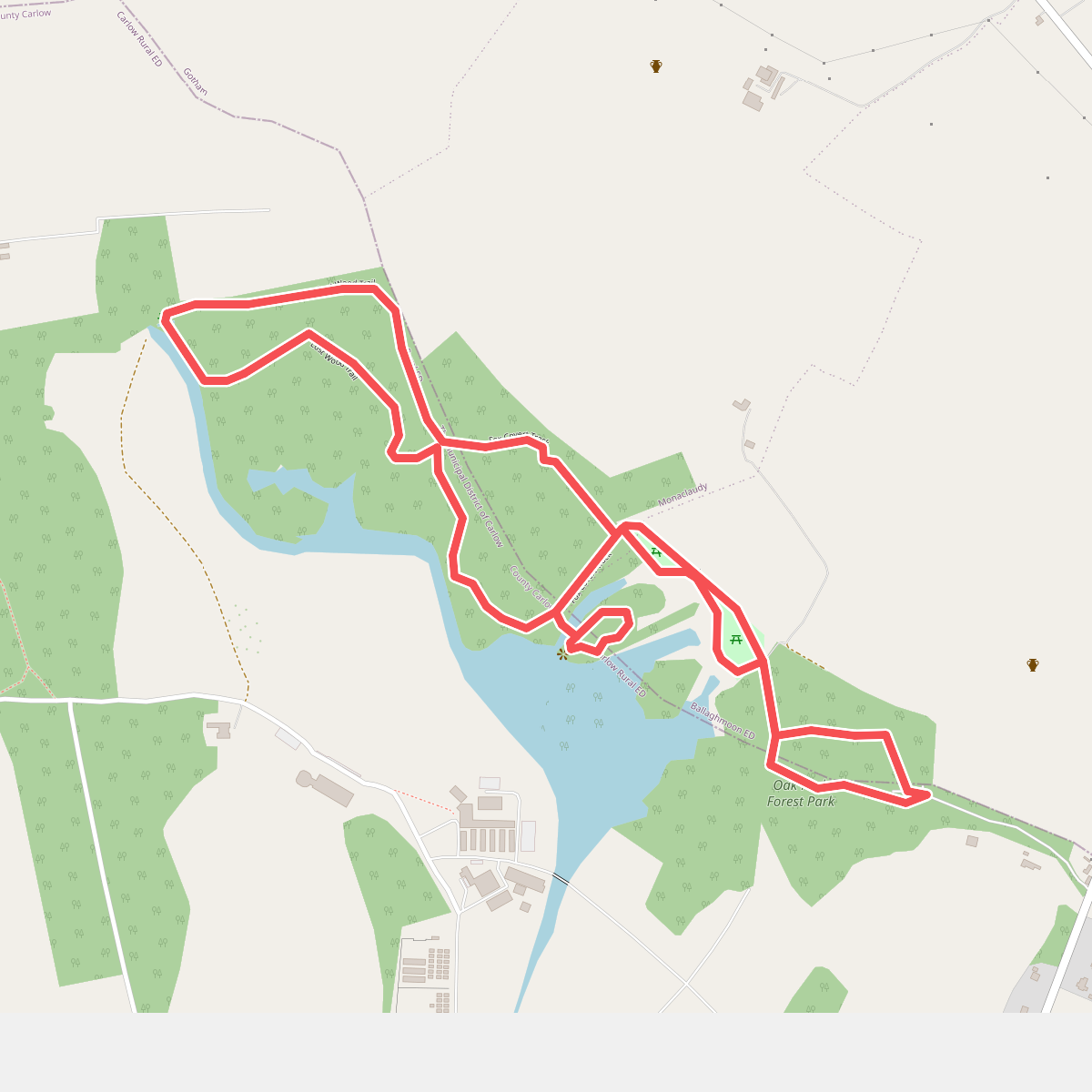
#9. Oak Park loop
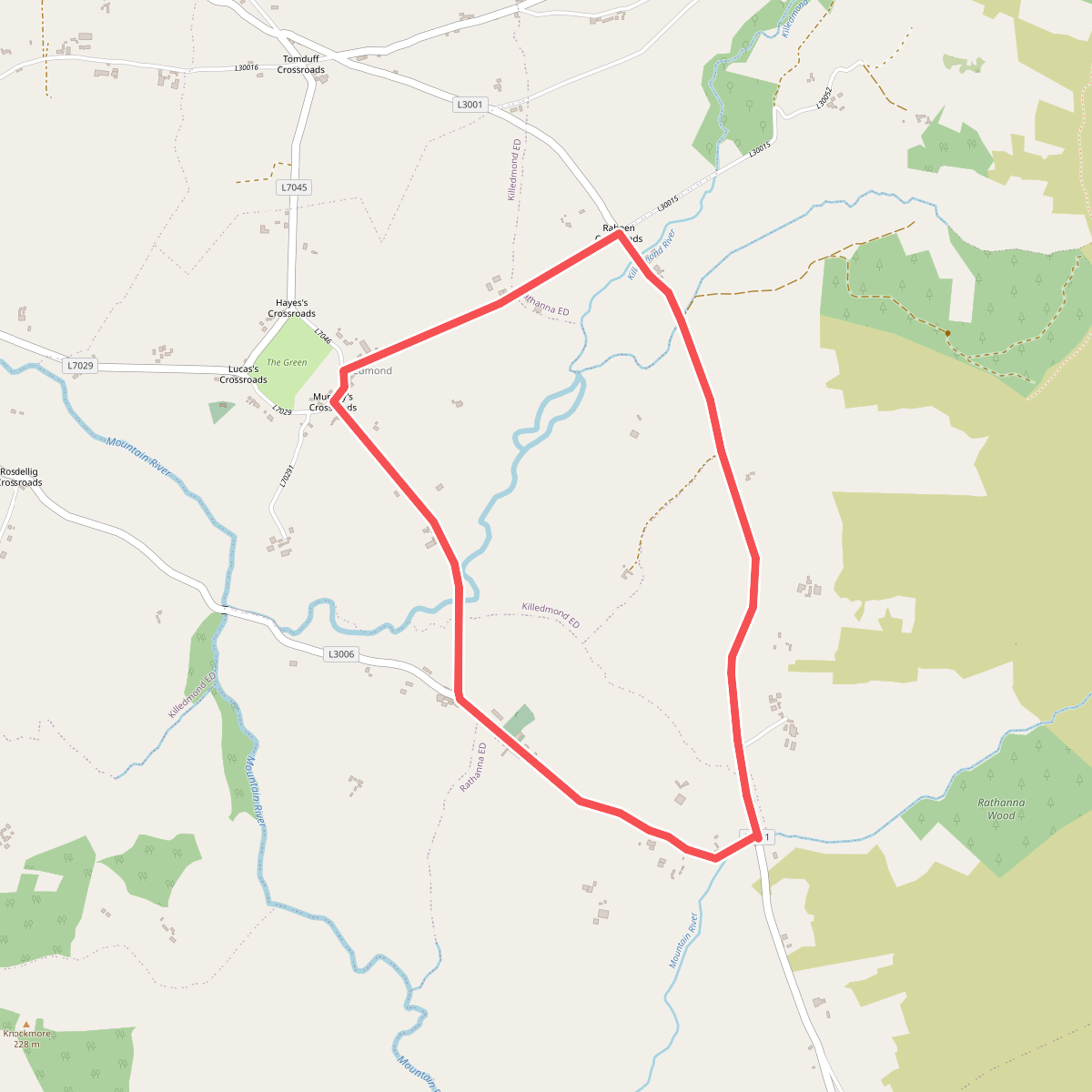
#10. Rathanna Slí na Sláinte
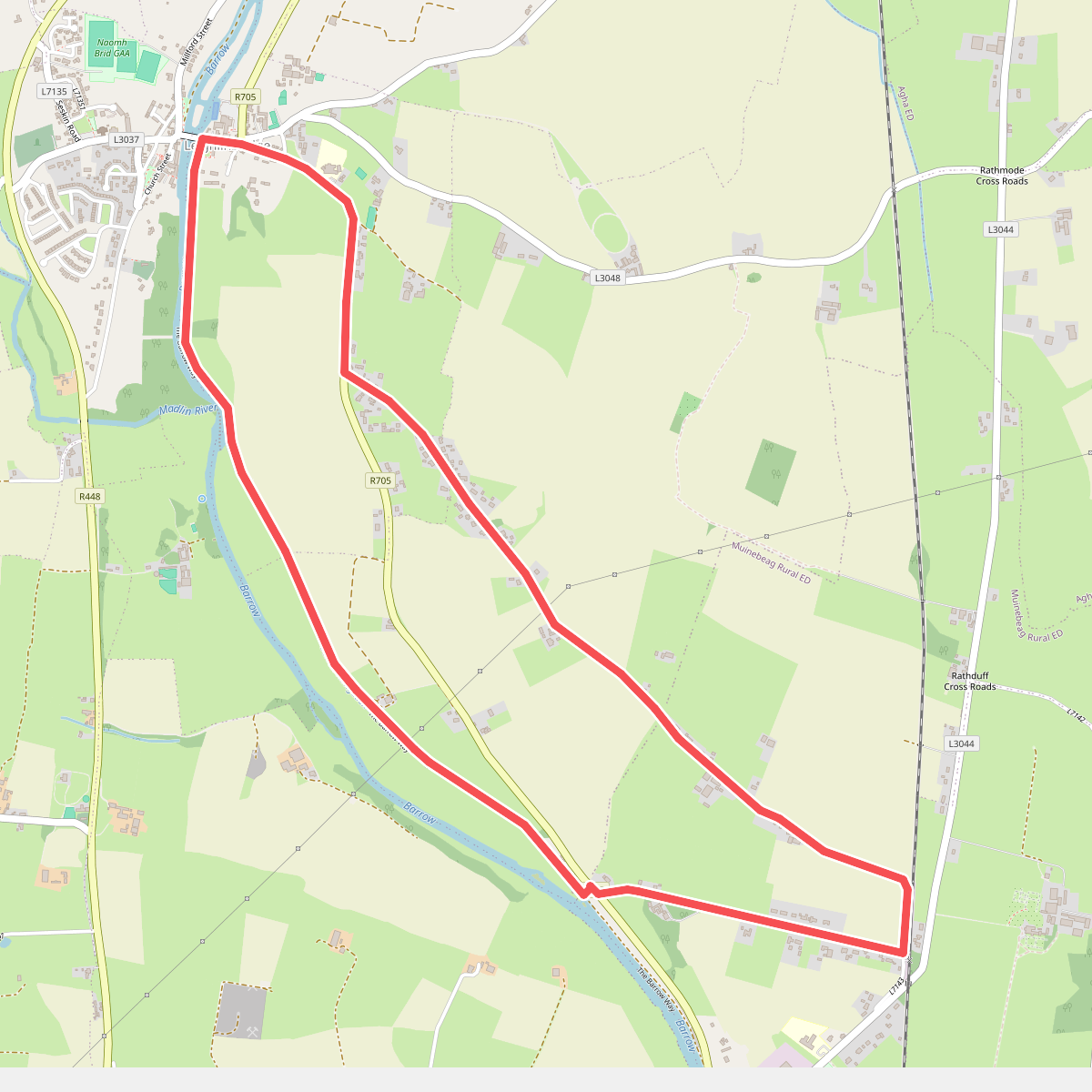
#11. Rathellen Slí na Sláinte