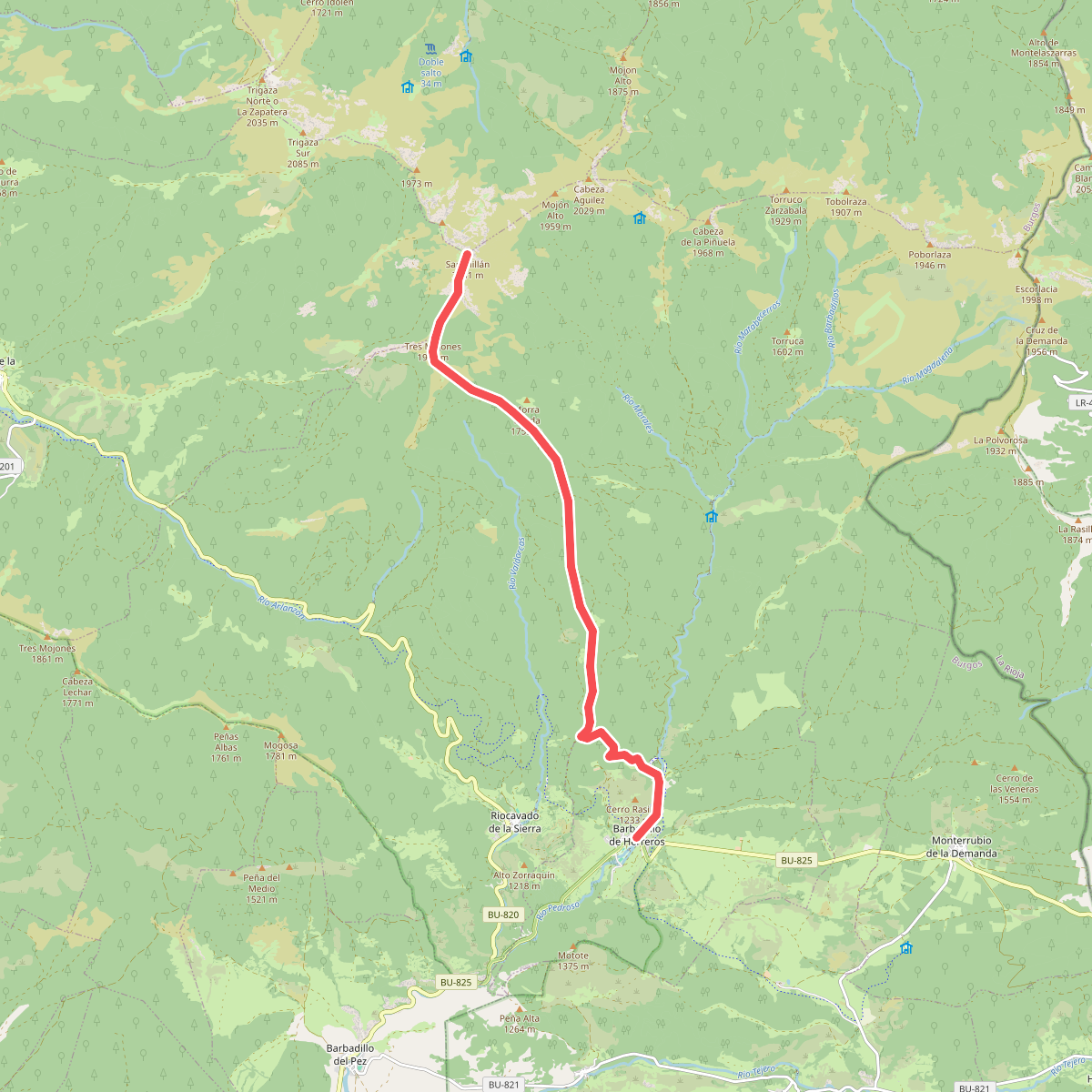
The best hiking routes in Castile and León
Discover the best walks in Castile and León. 660 routes on the map, with descriptions, photos and GPX.
About Castile and León
Castile and León is a vast, elevated plateau ringed by mountains, where the walking terrain changes sharply depending on whether you head to the limestone north or the granite and schist river valleys. If you prefer deep canyons, oak woods, and cave systems, the northern limestone areas like the Lugar de Importancia Comunitaria de Ojo Guareña offer paths over hard rock and clay, where water has carved visible sinkholes into the cliffs. In contrast, the western borderlands near Portugal, including the Rios Sabor e Maçãs, feature steep, terraced river valleys where the paths are often gravelly and the vegetation is dominated by olive trees and scrub.
Read more
About Castile and León
Castile and León is a vast, elevated plateau ringed by mountains, where the walking terrain changes sharply depending on whether you head to the limestone north or the granite and schist river valleys. If you prefer deep canyons, oak woods, and cave systems, the northern limestone areas like the Lugar de Importancia Comunitaria de Ojo Guareña offer paths over hard rock and clay, where water has carved visible sinkholes into the cliffs. In contrast, the western borderlands near Portugal, including the Rios Sabor e Maçãs, feature steep, terraced river valleys where the paths are often gravelly and the vegetation is dominated by olive trees and scrub.
Read moreCastile and León is a vast, elevated plateau ringed by mountains, where the walking terrain changes sharply depending on whether you head to the limestone north or the granite and schist river valleys. If you prefer deep canyons, oak woods, and cave systems, the northern limestone areas like the Lugar de Importancia Comunitaria de Ojo Guareña offer paths over hard rock and clay, where water has carved visible sinkholes into the cliffs. In contrast, the western borderlands near Portugal, including the Rios Sabor e Maçãs, feature steep, terraced river valleys where the paths are often gravelly and the vegetation is dominated by olive trees and scrub.
To choose your route, consider the underfoot conditions and the shape of the land. The northern limestone ranges, such as the Arabako hegoaldeko mendilerroak BBE-KBE, present rugged, stony tracks with steep ascents up grey cliffs, where the vegetation is sparse and the geology is always visible. The western river systems, including the Zona de Proteção Especial dos Rios Sabor e Maçãs, offer walks along deep-cut riverbeds where the paths are sandy or covered in loose shale, shaped by centuries of traditional farming and sheep grazing.
This region does not offer high, snow-capped alpine peaks or lush, damp green meadows. Instead, you will find a dry, continental landscape of scrub, open oak forests, and exposed rock. In November, the oak forests in the northern valleys turn a deep rust colour, while the western river valleys remain grey and green with olive groves. Well-known spots near the cave portals can be busier with visitors, but the high limestone plateaus and the steep river tracks are often quieter, offering straightforward walking on farm tracks and stony mountain paths.
Nature areas in Castile and León
Zoom or pan for more routes
Hiking routes in Castile and León (660)
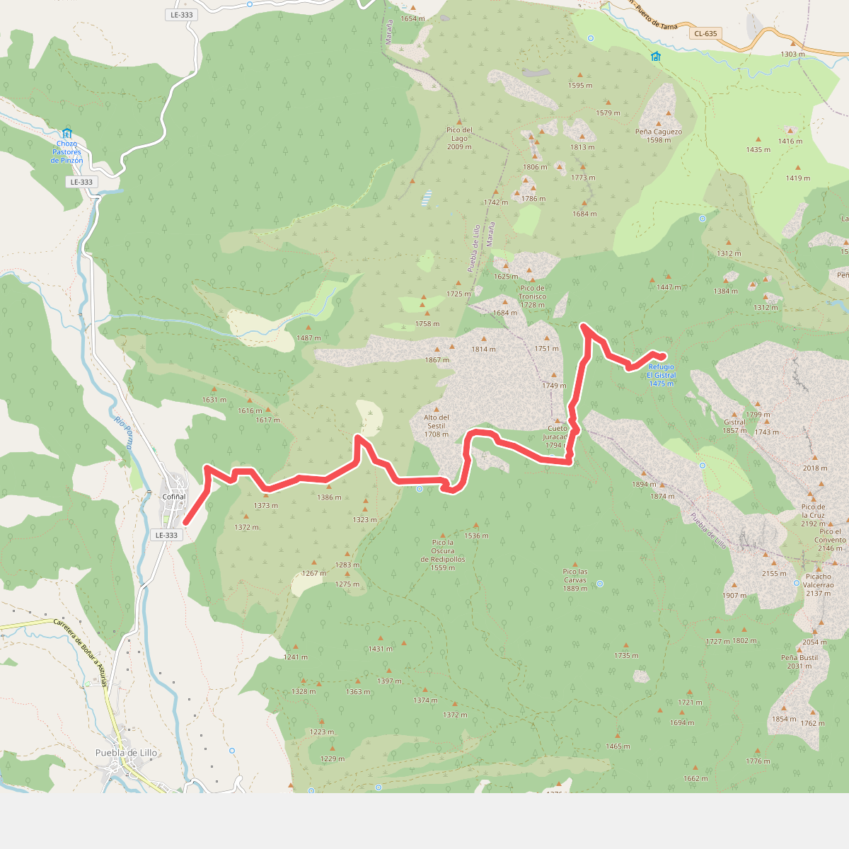
#1. Acampada de la Manada Kanhiwara
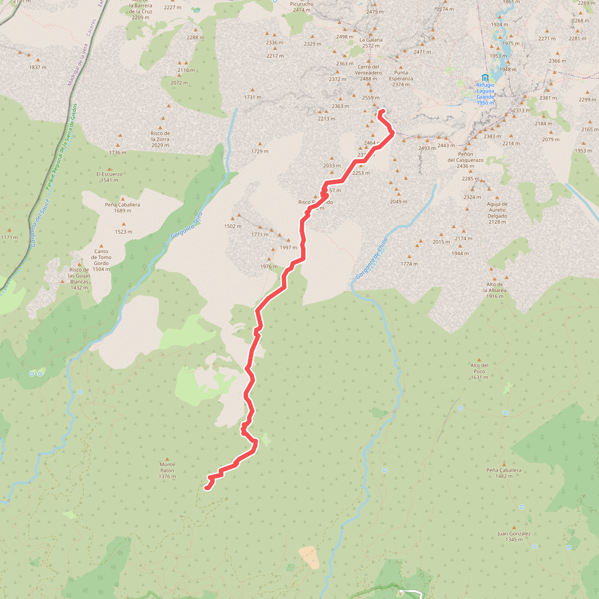
#2. Almanzor por el Camino del Tío Domingo
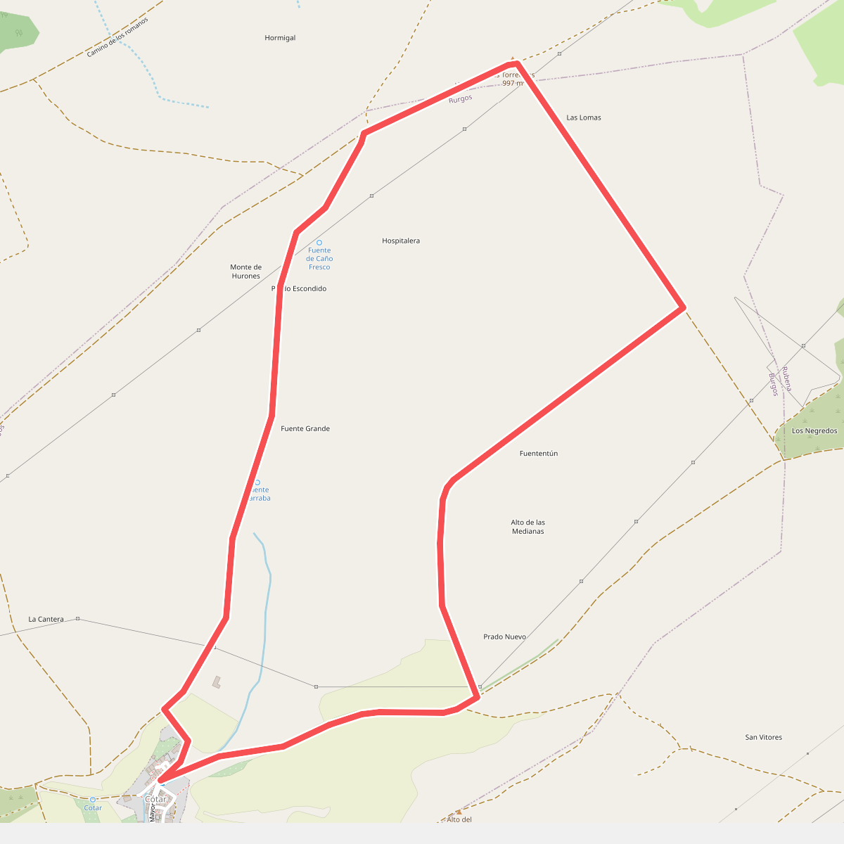
#3. Alto de las Torrecillas (Barrio de Cótar)
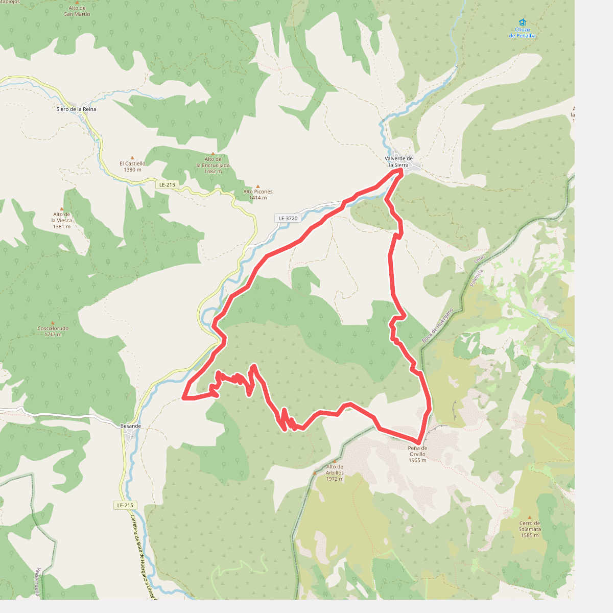
#4. Arbillos
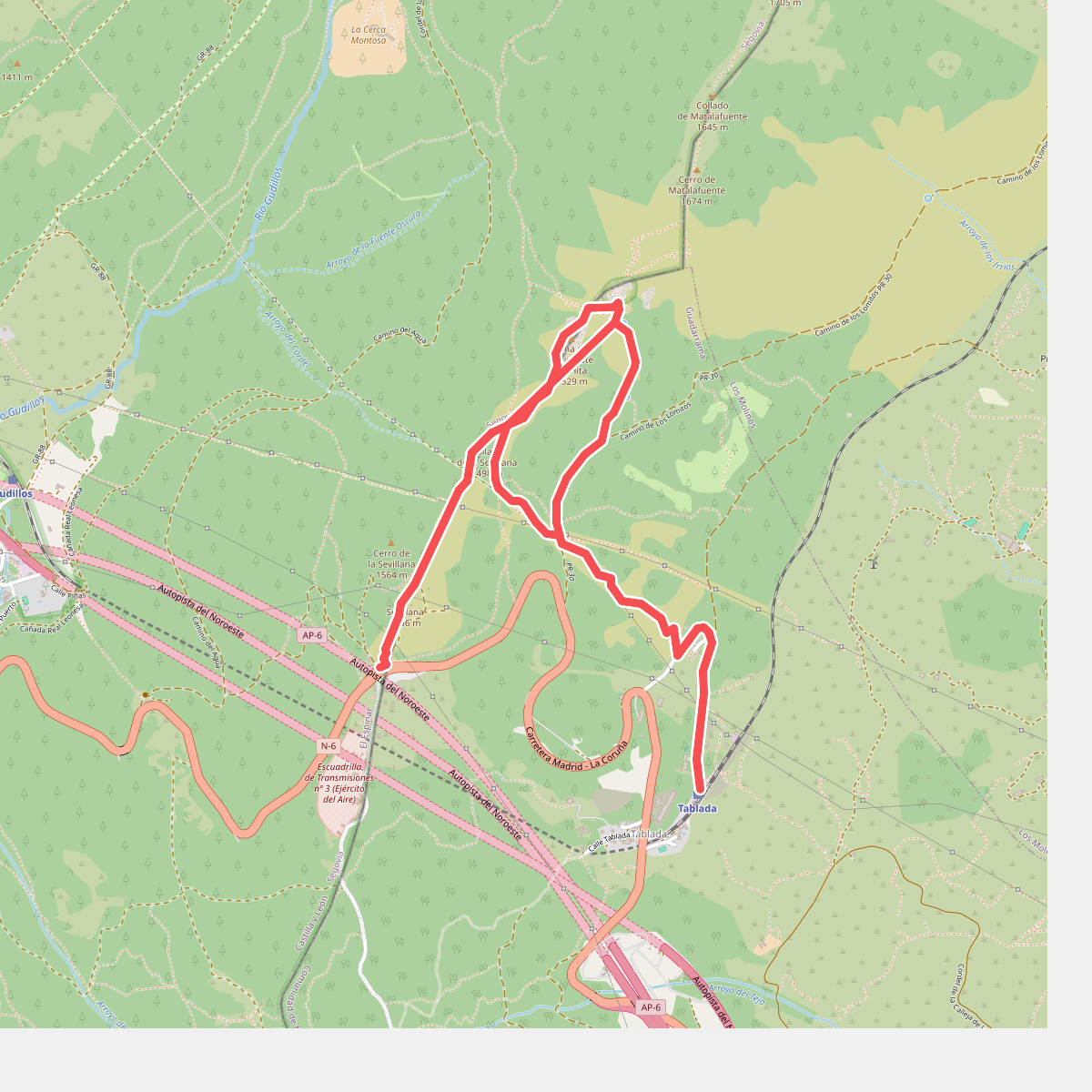
#5. Arcipreste de Hita
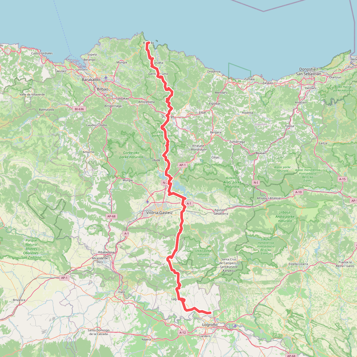
#6. Ardoaren eta arrainaren bidea
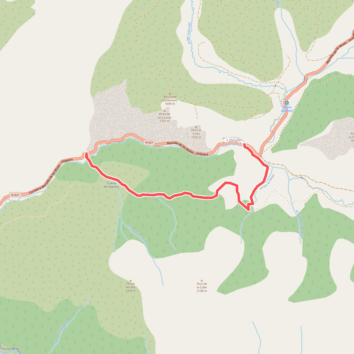
#7. Arroyo de Orpiñas
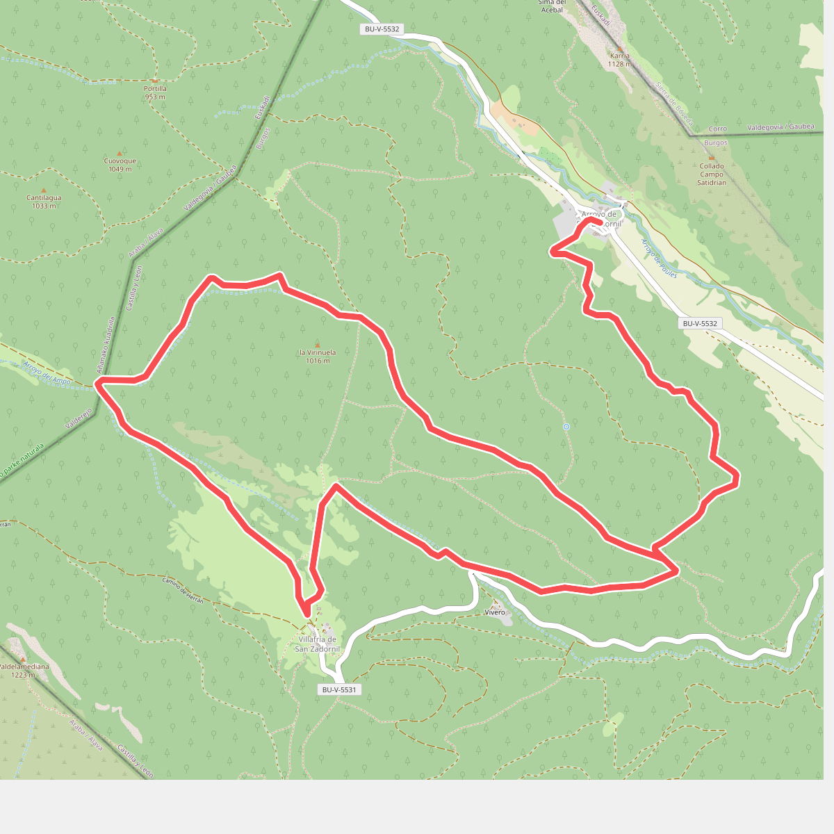
#8. Arroyo de San Zadornil
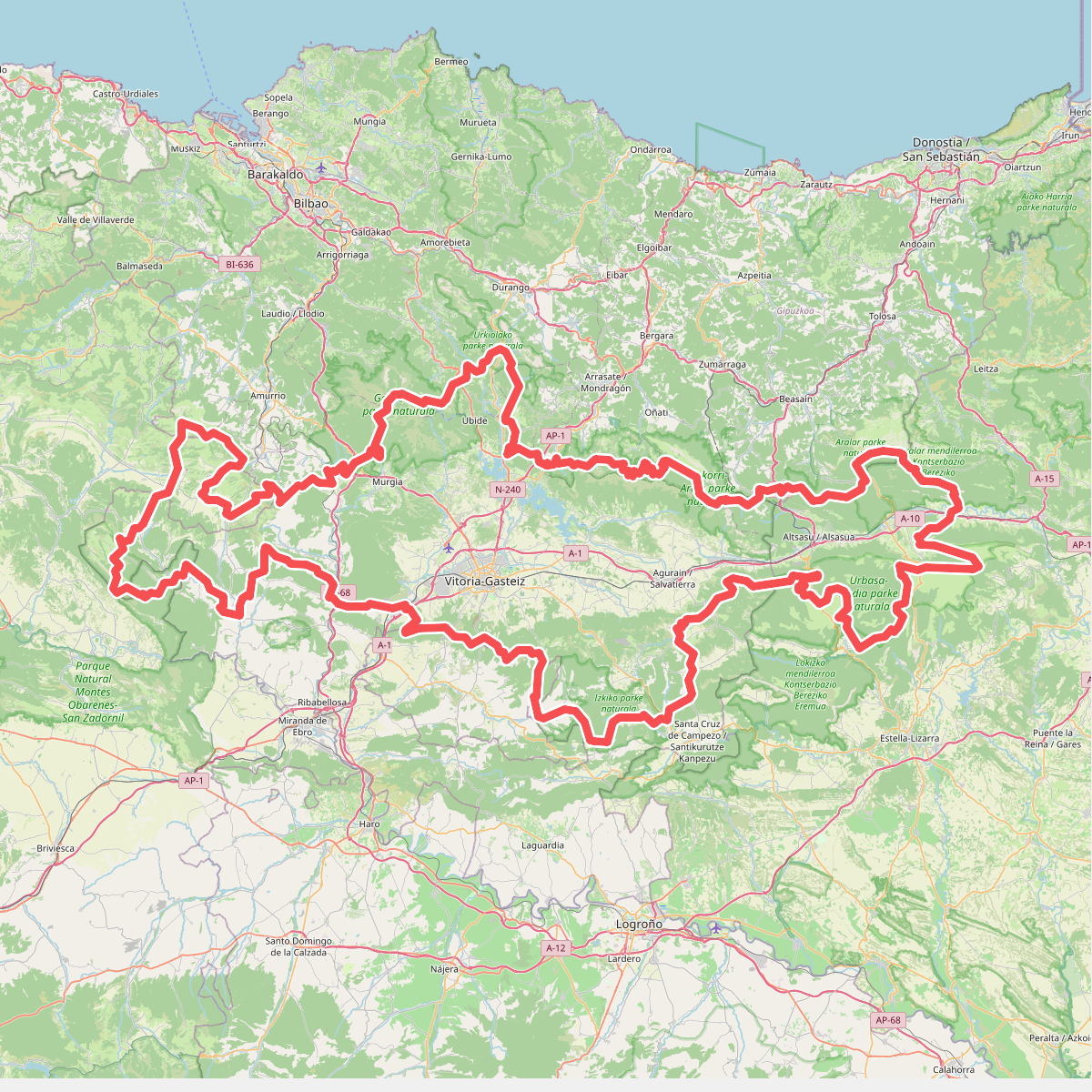
#9. Artzaintza naturbidea
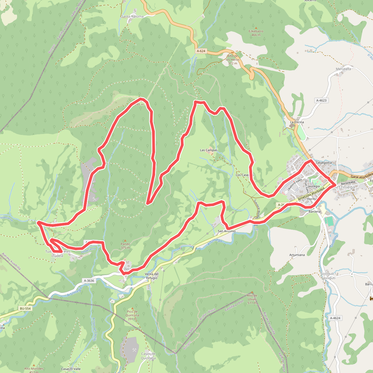
#10. Artziniega
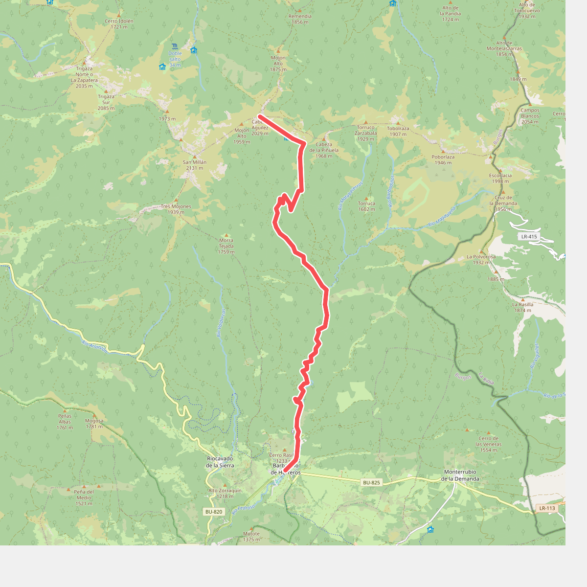
#11. Ascensión a Cabeza Aguilez