The best hiking routes in Canton Redange
Discover the best walks in Canton Redange. 5 routes on the map, with descriptions, photos and GPX.
About Canton Redange
Canton Redange sits on the transition between two distinct landscapes in western Luxembourg, offering walkers a choice between deep, wooded valleys and open agricultural plains. This is not a region of dramatic mountain peaks or rugged gorges, but rather one of quiet, working countryside. Underfoot, you will mostly tread on packed dirt forestry tracks, grassy field paths, and occasional sections of asphalted agricultural roads that link the small, quiet villages.
Read more
About Canton Redange
Canton Redange sits on the transition between two distinct landscapes in western Luxembourg, offering walkers a choice between deep, wooded valleys and open agricultural plains. This is not a region of dramatic mountain peaks or rugged gorges, but rather one of quiet, working countryside. Underfoot, you will mostly tread on packed dirt forestry tracks, grassy field paths, and occasional sections of asphalted agricultural roads that link the small, quiet villages.
Read moreCanton Redange sits on the transition between two distinct landscapes in western Luxembourg, offering walkers a choice between deep, wooded valleys and open agricultural plains. This is not a region of dramatic mountain peaks or rugged gorges, but rather one of quiet, working countryside. Underfoot, you will mostly tread on packed dirt forestry tracks, grassy field paths, and occasional sections of asphalted agricultural roads that link the small, quiet villages.
To the north, the landscape is dominated by the Parc naturel Haute-Sûre Forêt d'Anlier, where the terrain rises into the denser, more uniform spruce and beech forests of the Ardennes foothills. Here, the paths follow steep-sided valleys carved by small streams, offering shaded, enclosed walks that feel isolated. In contrast, the southern part of the canton features the Parc naturel de la Vallée de l'Attert, where the valley widens into a gentler, clay-rich basin of pastures, hedgerows, and traditional orchards.
Choosing where to walk depends on your preference for shelter or openness. The northern forests provide protection from the elements but limit outward views, while the southern Attert valley offers wider perspectives across farmland, though with less shade. In late April, the orchards around Attert show their spring blossom, making it a particularly distinct time to observe the agricultural character of this lower valley.
Nature areas in Canton Redange
Zoom or pan for more routes
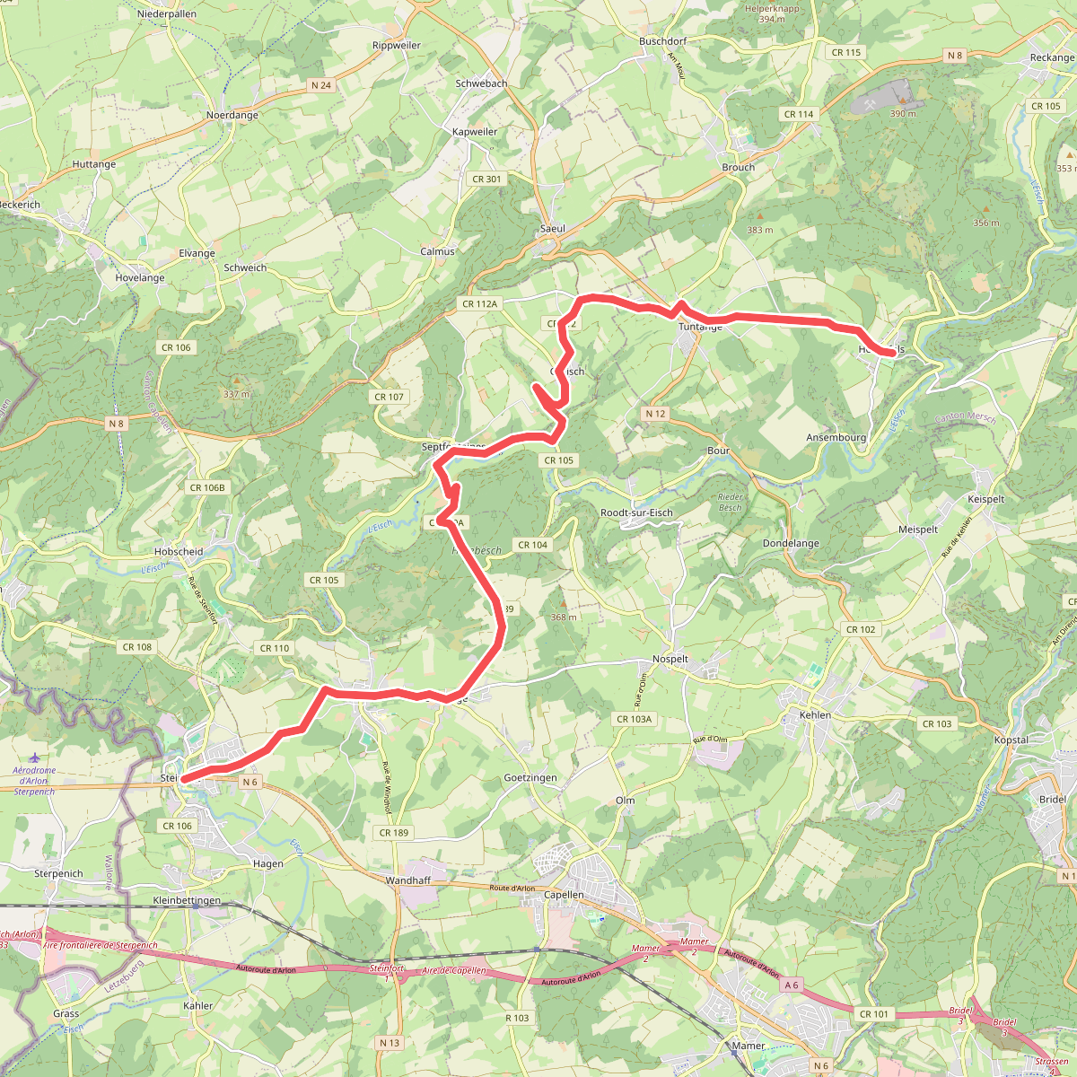
Hiking routes in Canton Redange (5)
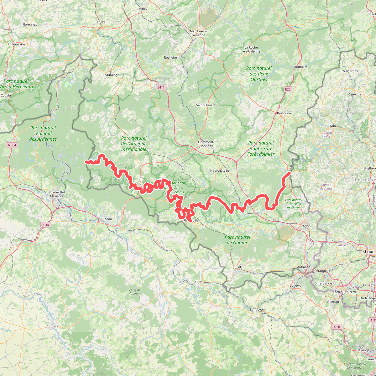
#1. European long distance path E3 - part Belgium
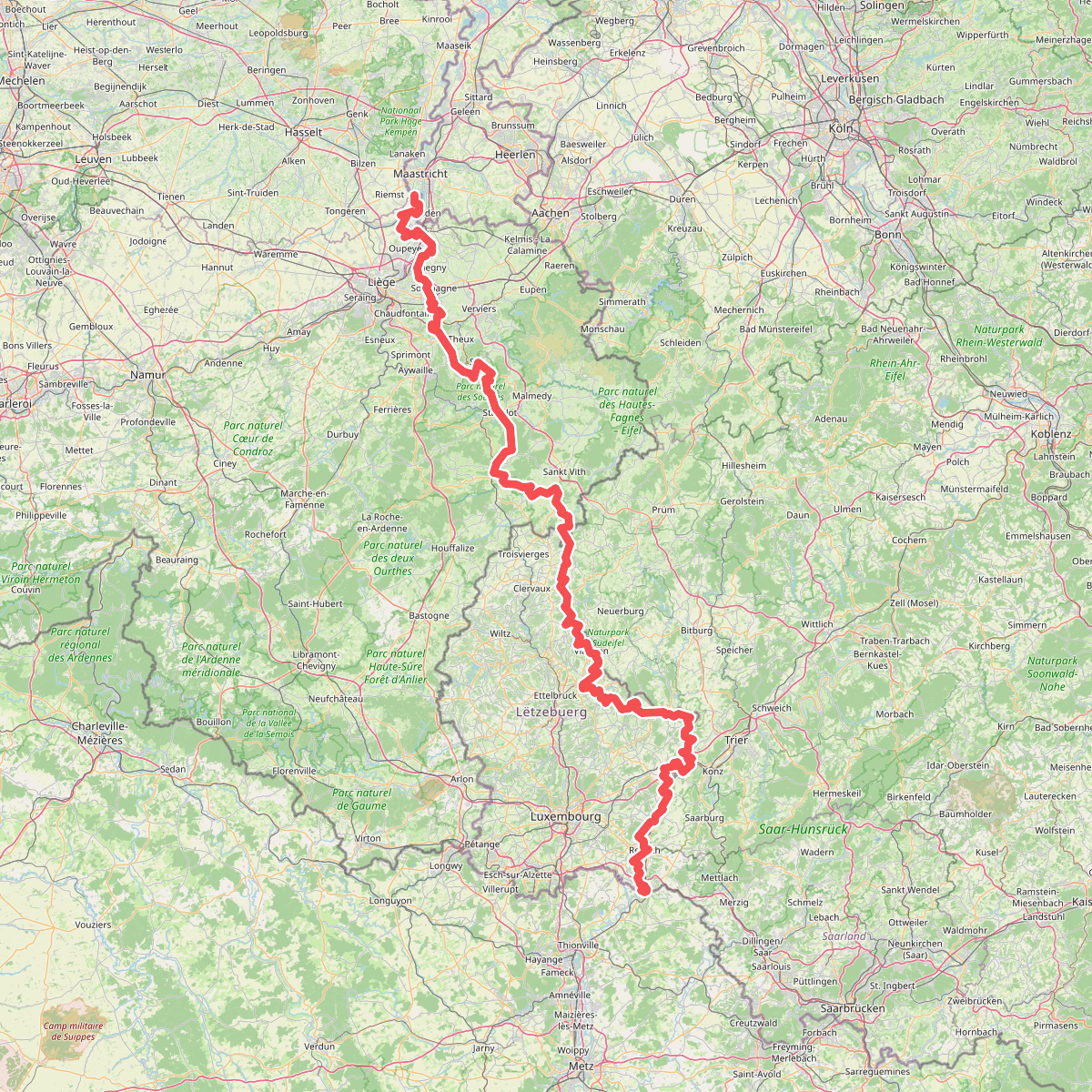
#2. Gr5 vanaf Maastricht
Riemst,Visé,Wonck,Haccourt,Feneur,Blegny,Soumagne,Olne,Trooz,Sprimont,Theux,Spa,La Gleize,Stavelot,Wanne,Vielsalm,Gouvy,Thommen,Reuland,Clervaux,Dasburg,Parc Hosingen,Putscheid,Vianden,Tandel,Bettendorf,Vallée de l'Ernz,Beaufort,Berdorf,Echternach,Rosport-Mompach,Condominium Lëtzebuerg-Deutschland,Mertert,Manternach,Wormeldange,Stadtbredimus,Remich,Schengen,Perl
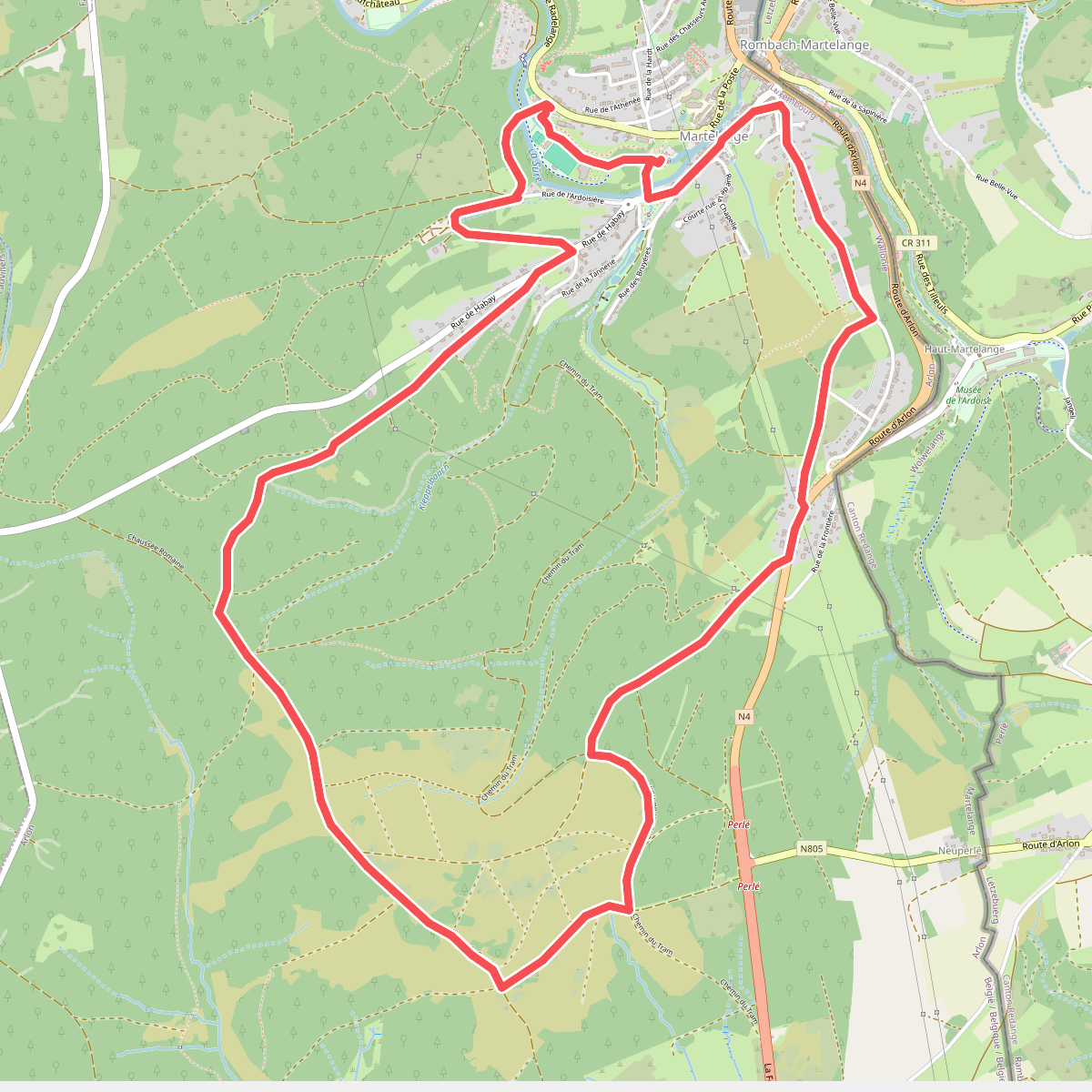
#3. Promenade des Romains
Martelange
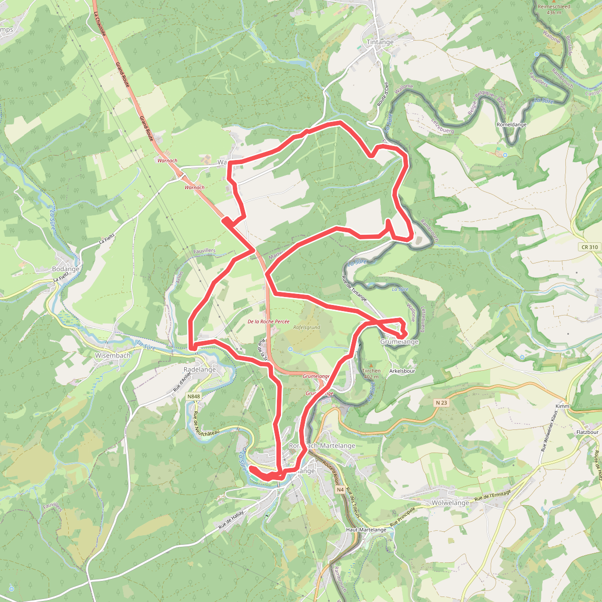
#4. Promenade des trois clochers
Martelange,Tintange