

The best hiking routes in Canton Grevenmacher
Discover the best walks in Canton Grevenmacher. 28 routes on the map, with descriptions, photos and GPX.
About Canton Grevenmacher
Canton Grevenmacher is defined by the contrast between the wide, flat valley floor of the Moselle River and the steep, wooded limestone slopes that rise directly from the water. On the lower levels, you will walk past active vineyards and river ports, where the ground is mostly paved agricultural tracks or hard-packed gravel. Higher up, the paths turn to clay and limestone soil, winding through dense beech forests and open plateau farmland. This is not a region of wild, untouched nature or high mountain peaks, but a deeply shaped cultural landscape where farming and forestry meet.
Read more
About Canton Grevenmacher
Canton Grevenmacher is defined by the contrast between the wide, flat valley floor of the Moselle River and the steep, wooded limestone slopes that rise directly from the water. On the lower levels, you will walk past active vineyards and river ports, where the ground is mostly paved agricultural tracks or hard-packed gravel. Higher up, the paths turn to clay and limestone soil, winding through dense beech forests and open plateau farmland. This is not a region of wild, untouched nature or high mountain peaks, but a deeply shaped cultural landscape where farming and forestry meet.
Read moreCanton Grevenmacher is defined by the contrast between the wide, flat valley floor of the Moselle River and the steep, wooded limestone slopes that rise directly from the water. On the lower levels, you will walk past active vineyards and river ports, where the ground is mostly paved agricultural tracks or hard-packed gravel. Higher up, the paths turn to clay and limestone soil, winding through dense beech forests and open plateau farmland. This is not a region of wild, untouched nature or high mountain peaks, but a deeply shaped cultural landscape where farming and forestry meet.
If you prefer open views and structured landscapes, the vineyard paths around Ahn and Machtum offer clear routes with constant views of the river traffic. For a quieter, more enclosed walk, the inland forests near Junglinster provide shaded sandstone formations and earthen tracks that feel far removed from the busy river corridor. In October, the vineyard slopes turn a deep yellow, making the valley sides much more prominent than during the green summer months.
Underfoot, the terrain is generally reliable, though clay paths on the steeper slopes can become slick after wet weather. The riverside paths are popular and often busier with cyclists and walkers, whereas the inland forest trails see fewer visitors. Choosing a route here is a matter of deciding between the open, sun-exposed vineyard terraces and the cooler, enclosed forest valleys.
Zoom or pan for more routes
Hiking routes in Canton Grevenmacher (28)
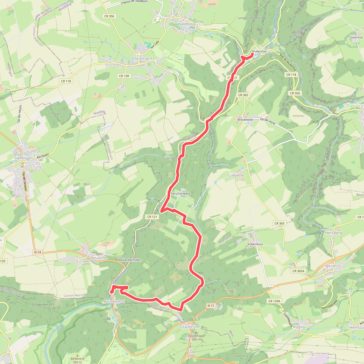

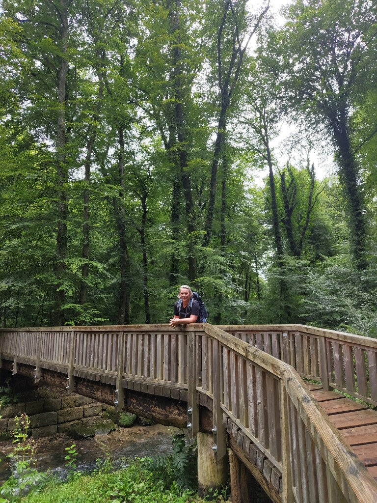
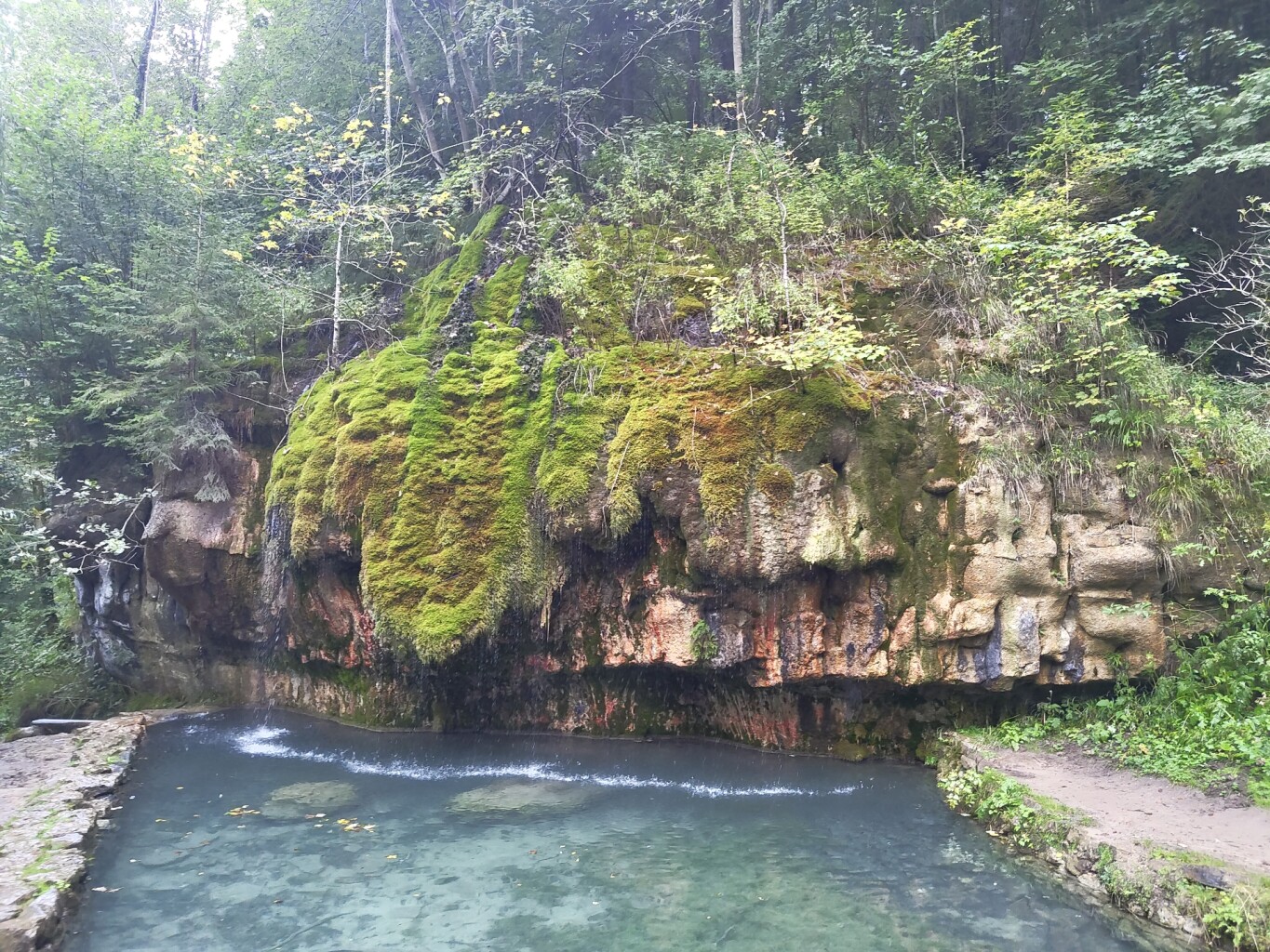
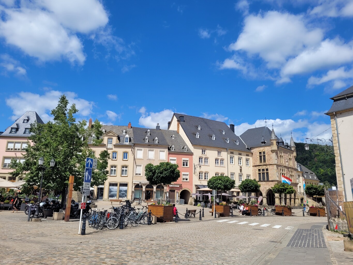
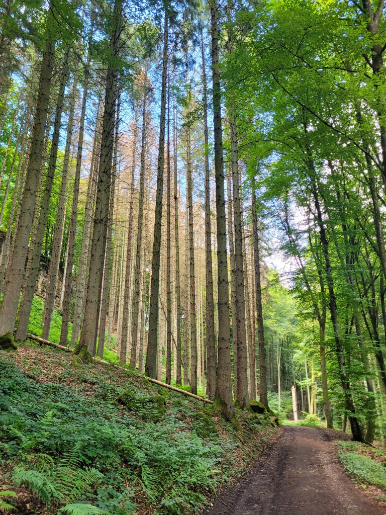
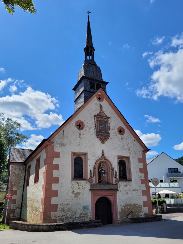
#1. Mullerthal - Blumenthal · Mullerthal Trail etappe 7
Waldbillig,Consdorf,Bech
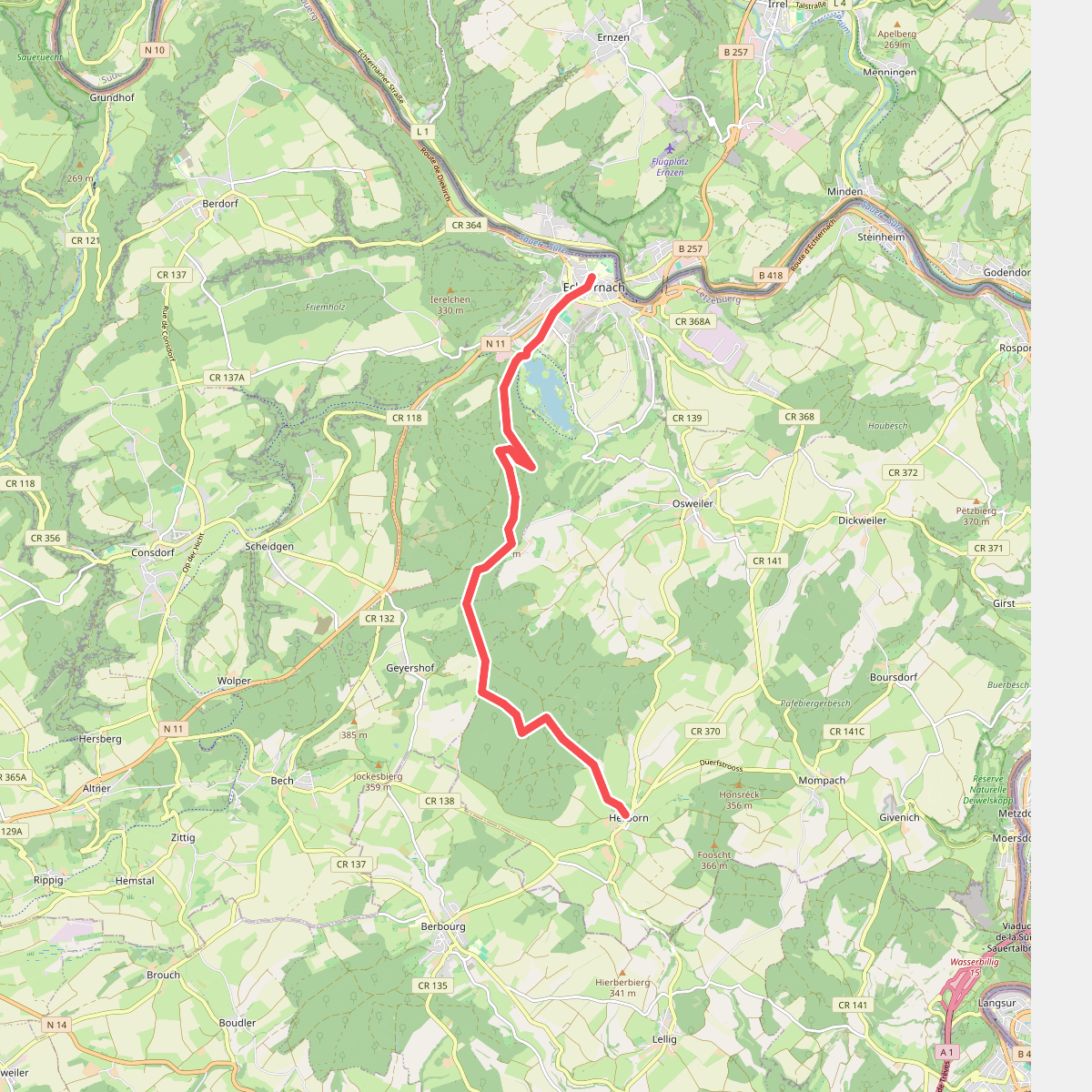
#2. Hernborn - Echternach · Mullerthal Trail etappe 4
Echternach,Bech,Rosport-Mompach
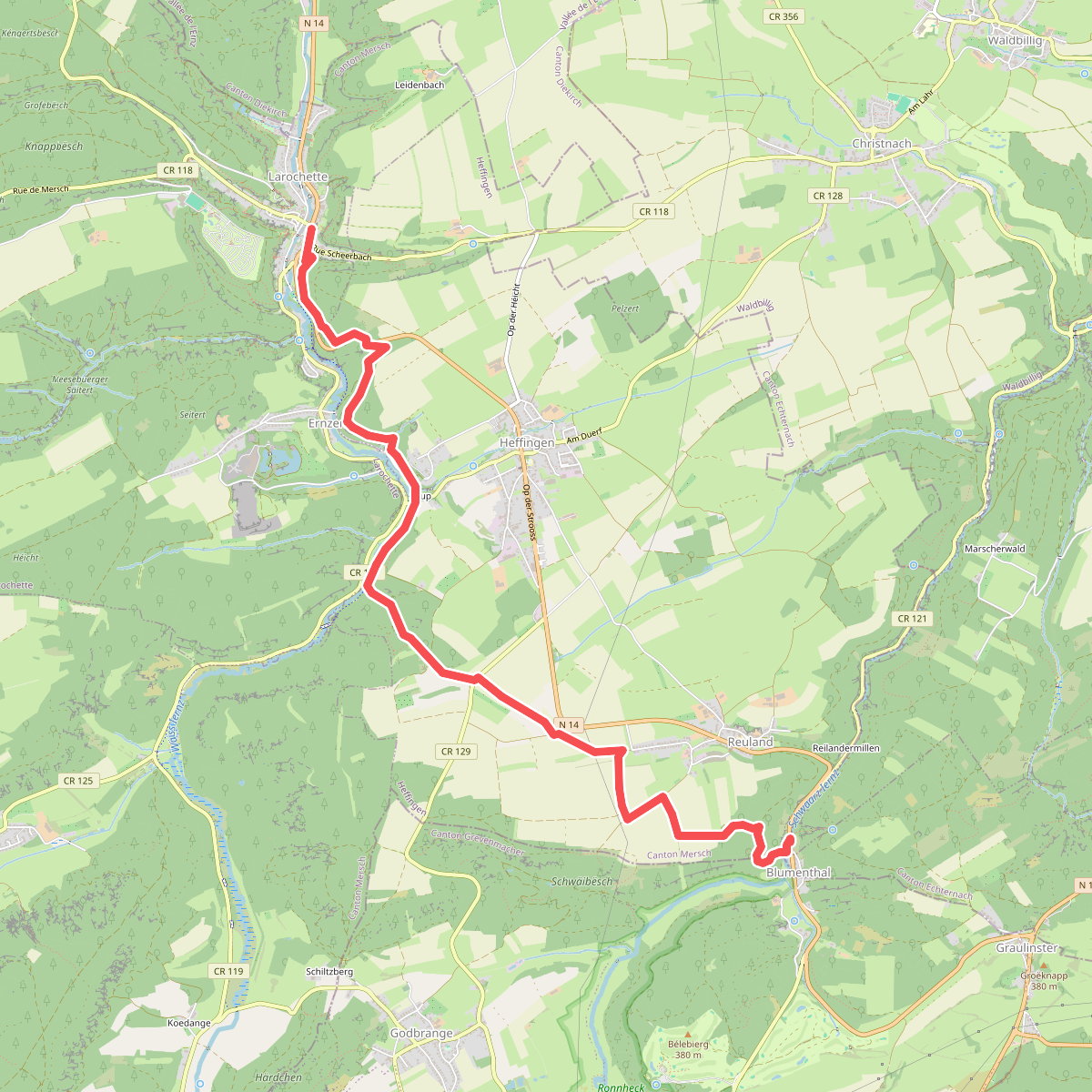
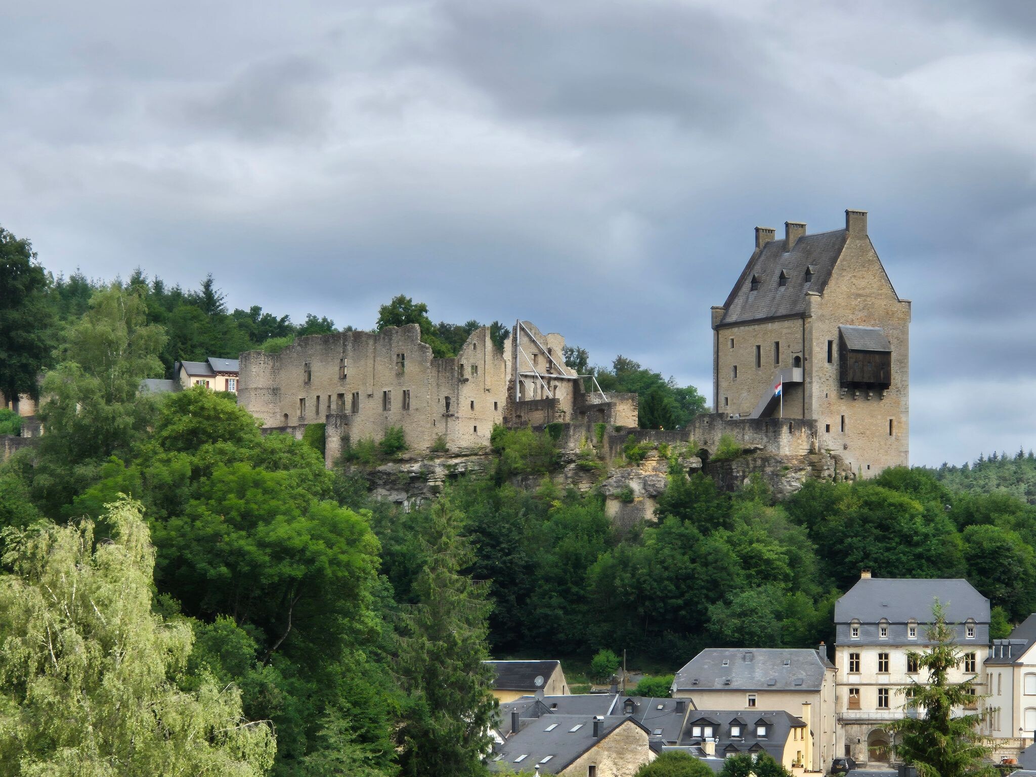
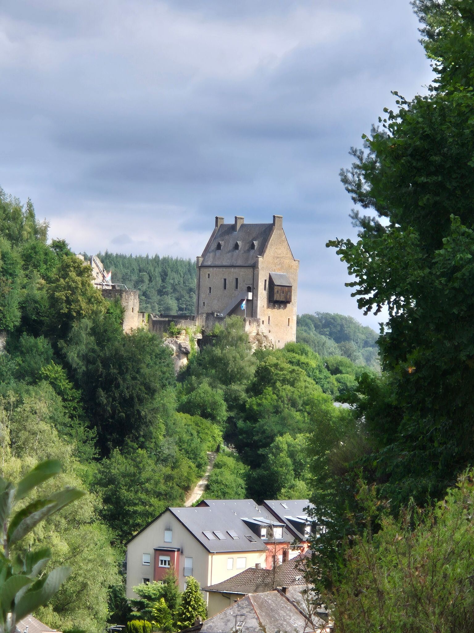
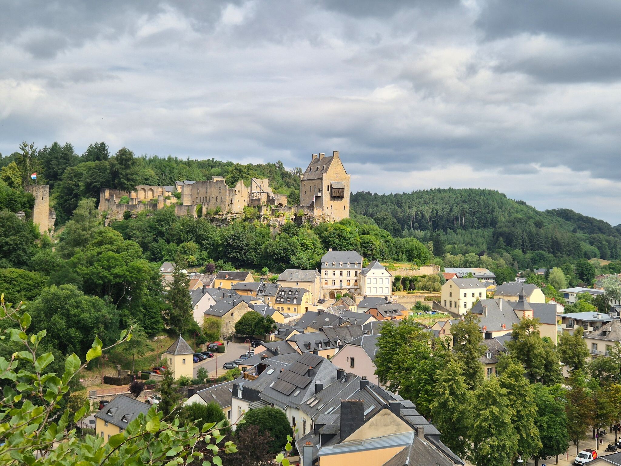
#3. Blumenthal - Larochette · Mullerthal Trail etappe 8
Bech,Heffingen,Larochette
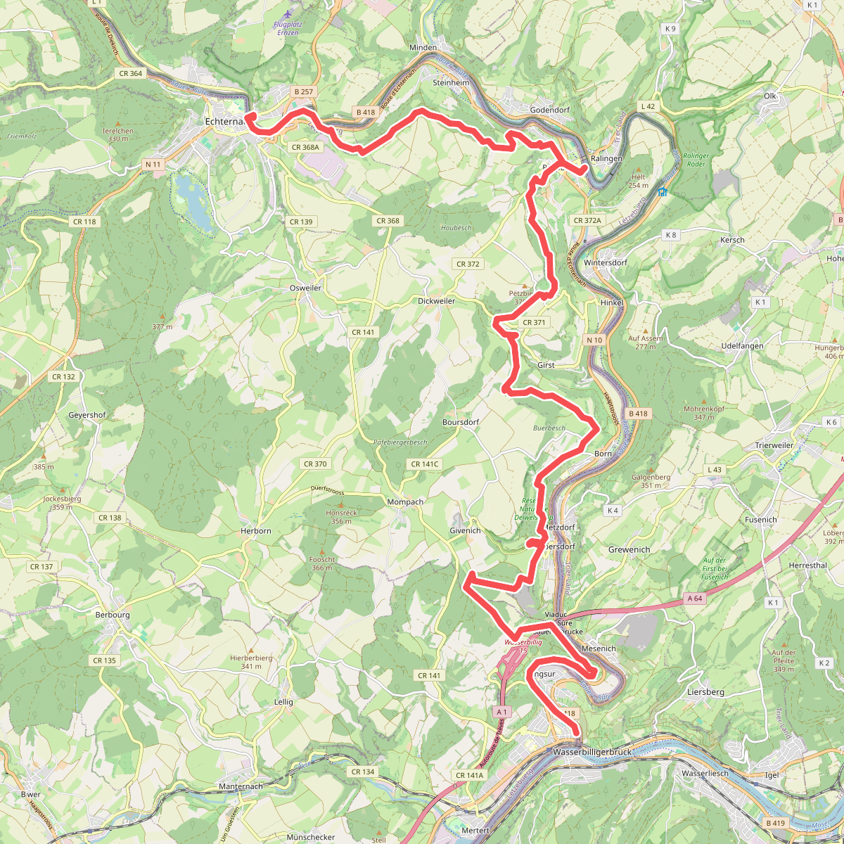
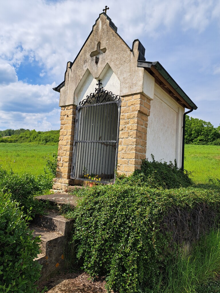
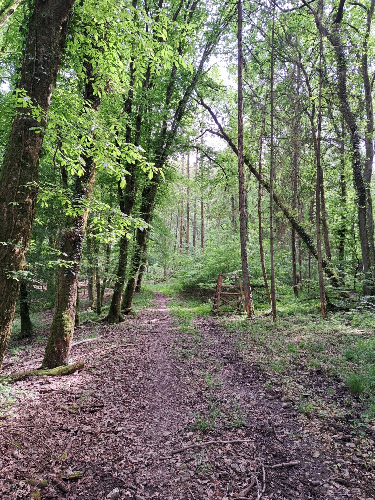
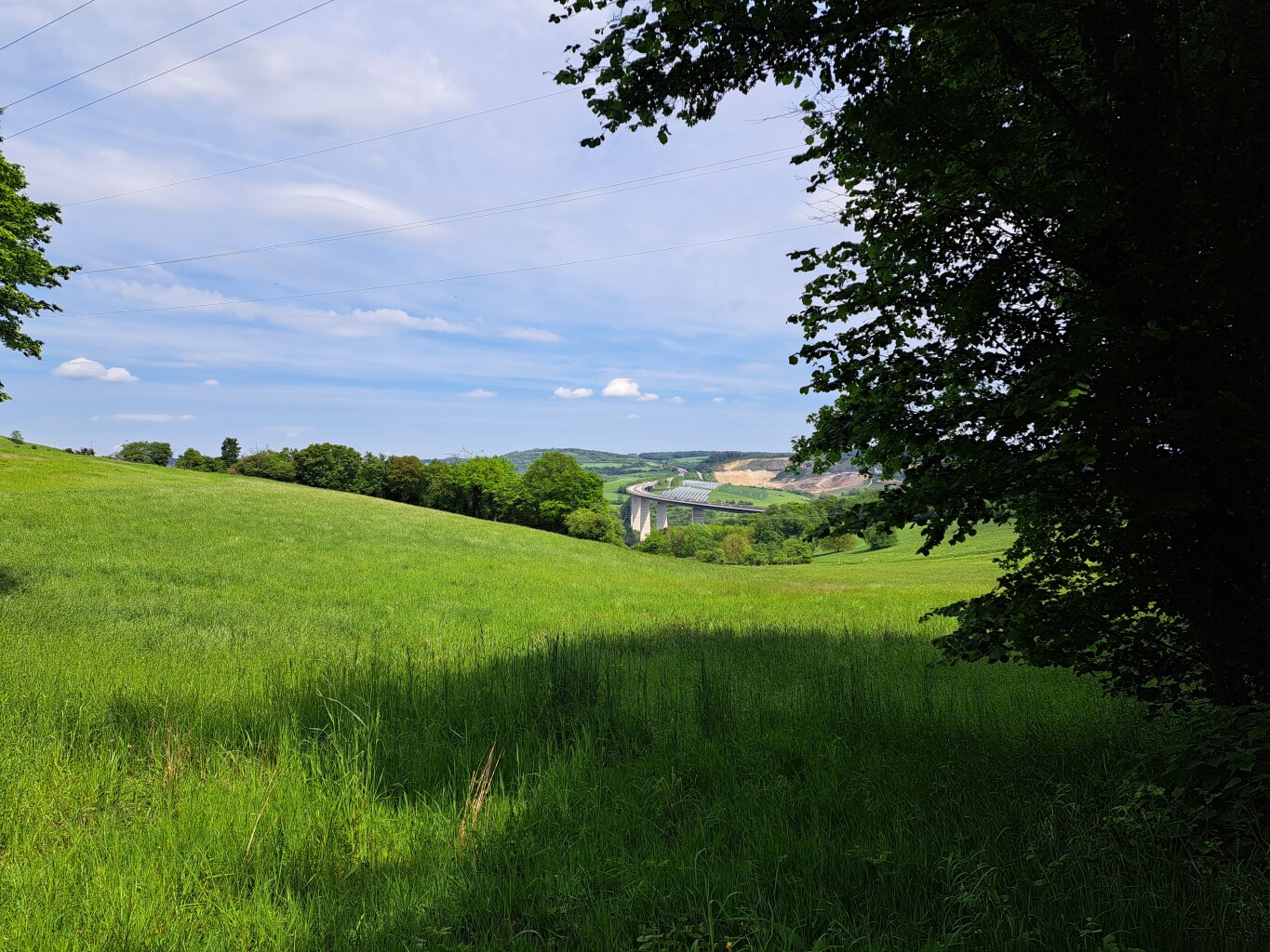
#4. Echternach - Wasserbillig · GR5 etappe 28
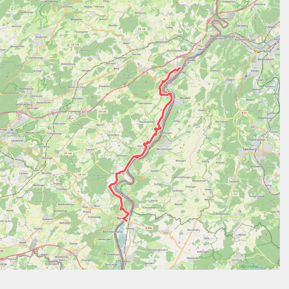
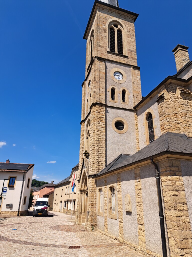
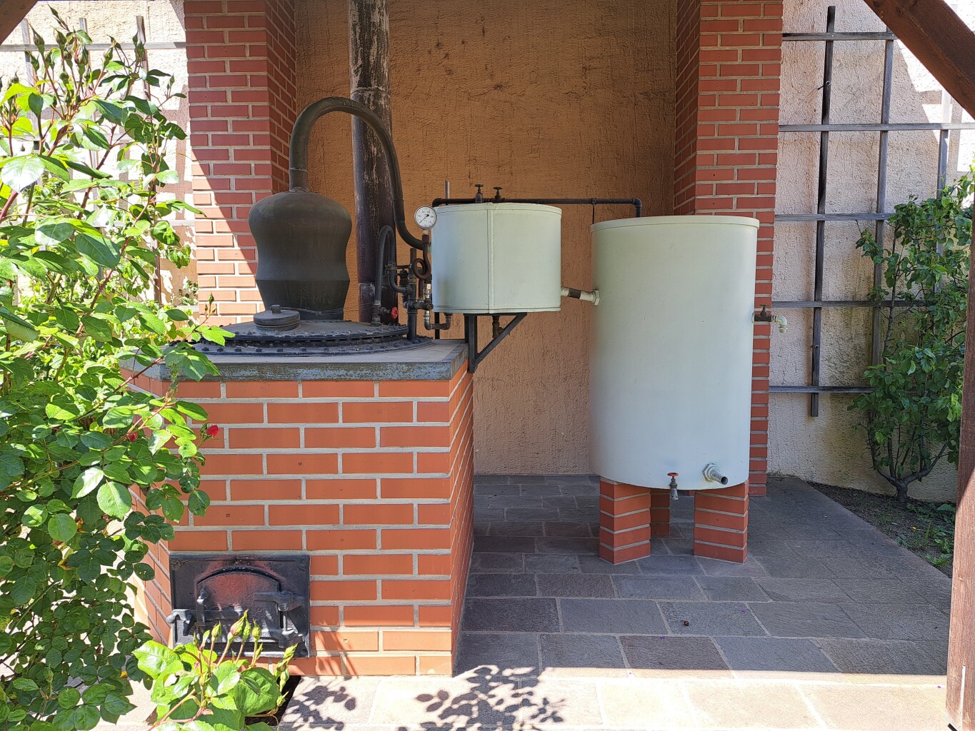
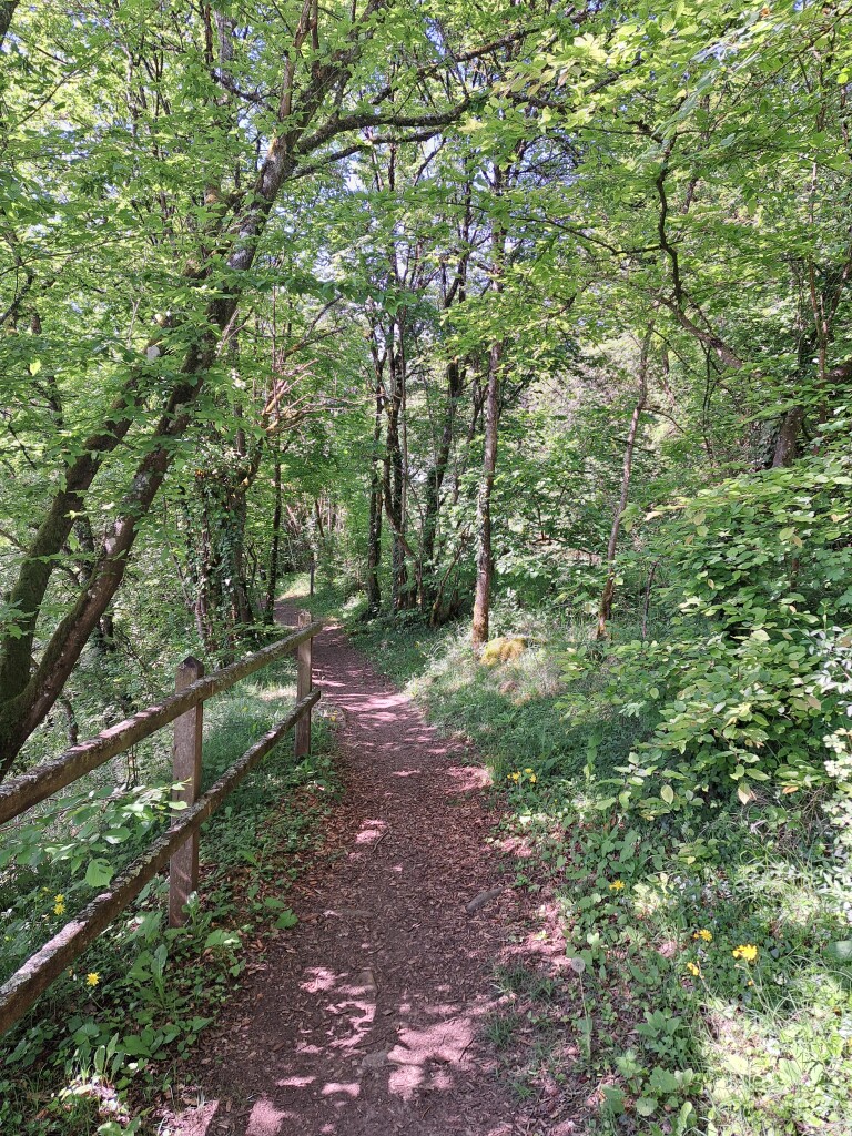
#5. Grevenmacher - Remich · GR5 etappe 30
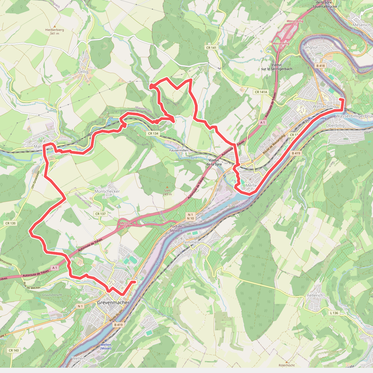
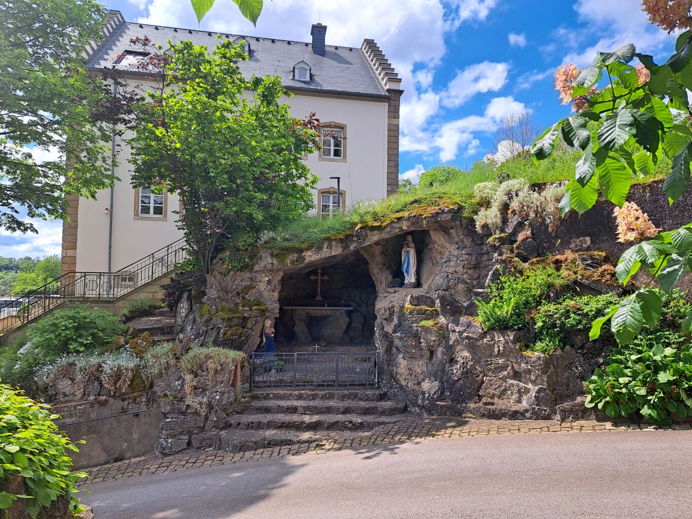
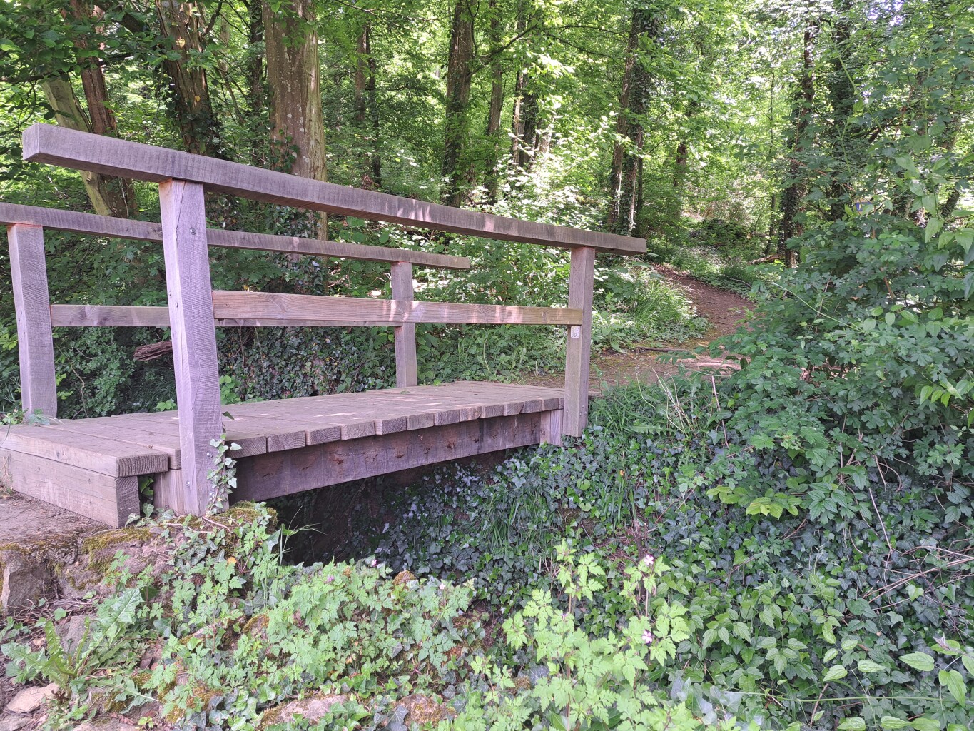
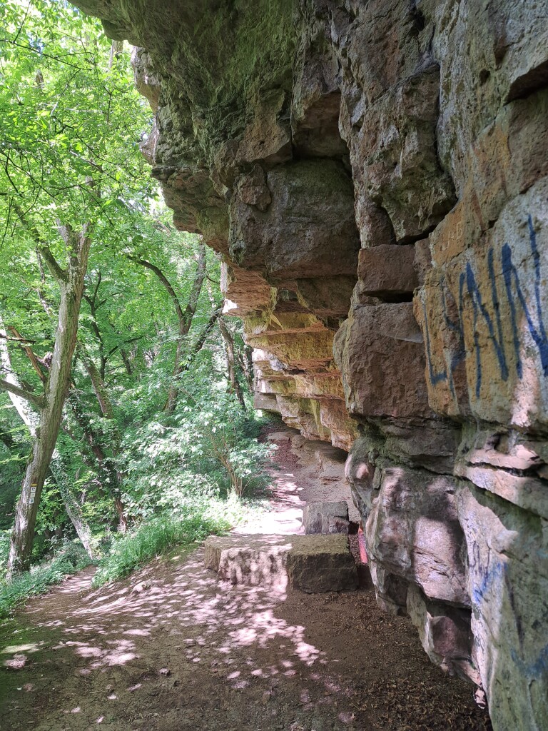
#6. Wasserbillig - Grevenmacher · GR5 etappe 29
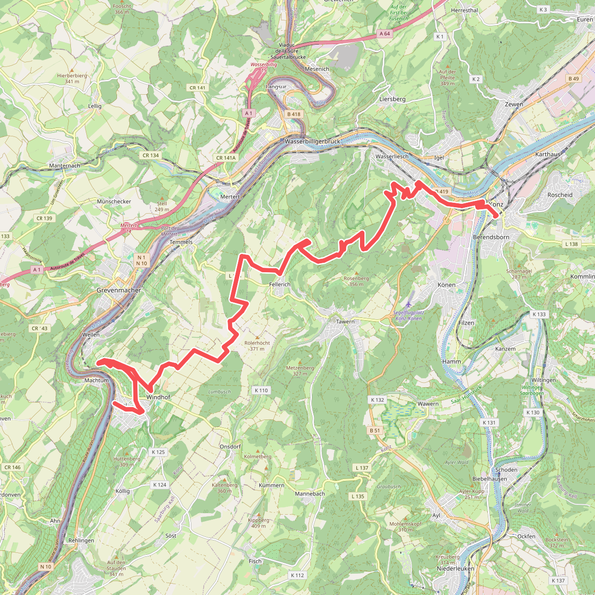
#7. Nittel - Konz · Moselsteig etappe 3
Nittel,Wellen,Temmels,Tawern,Oberbillig,Wasserliesch,Konz
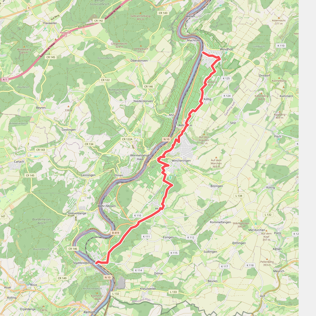
#8. Palzem - Nittel · Moselsteig etappe 2
Palzem,Wincheringen,Nittel
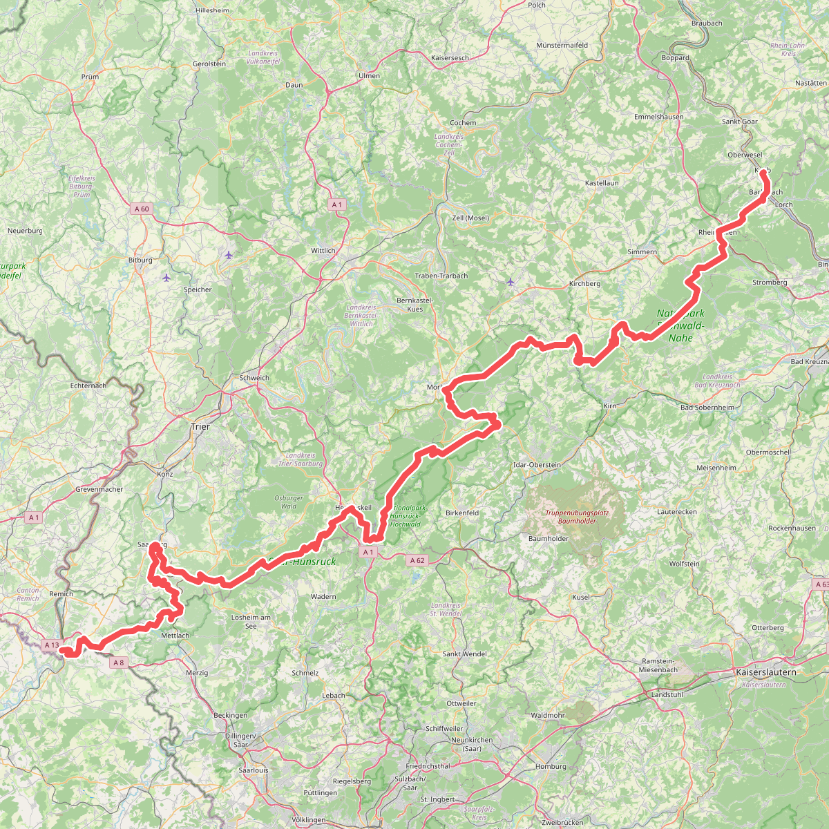
#9. European long distance path E3 - part Saarland, Rheinland-Pfalz
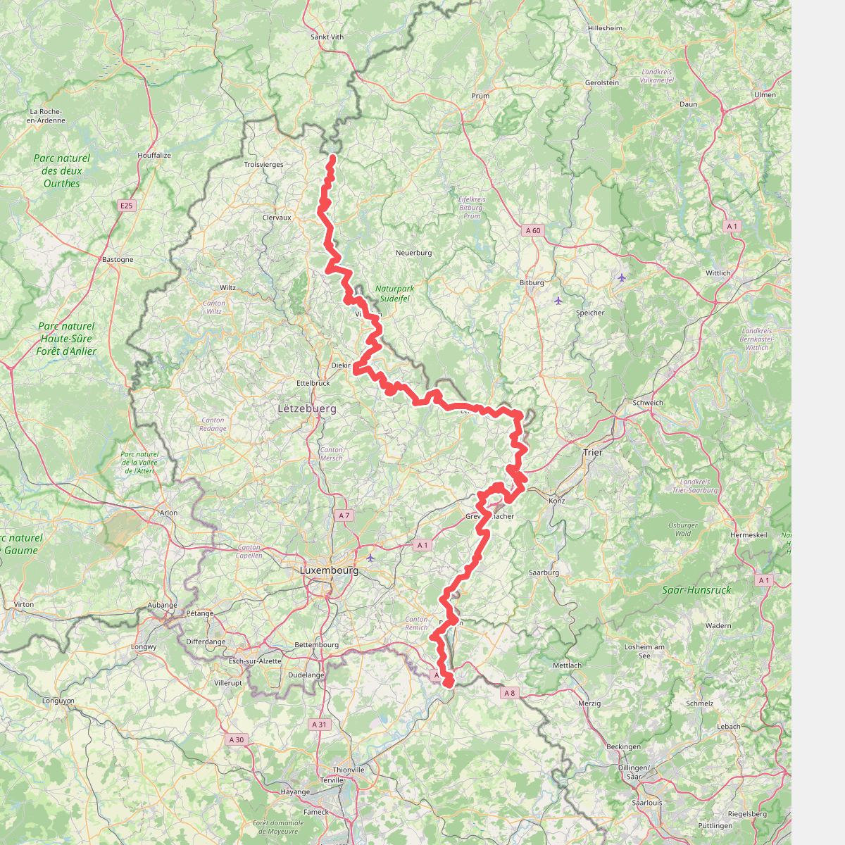
#10. GR 5 Luxembourg
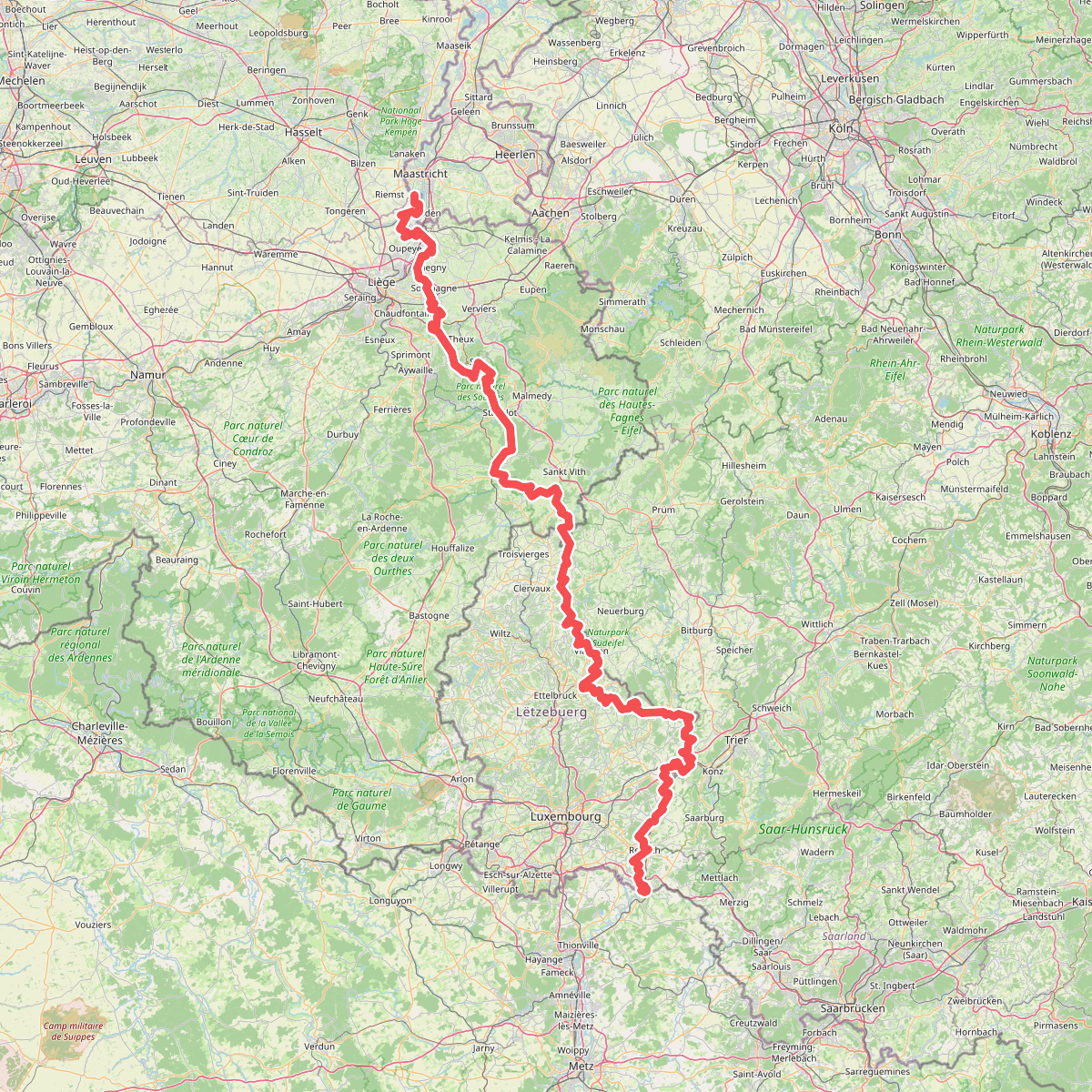
#11. Gr5 vanaf Maastricht
Riemst,Visé,Wonck,Haccourt,Feneur,Blegny,Soumagne,Olne,Trooz,Sprimont,Theux,Spa,La Gleize,Stavelot,Wanne,Vielsalm,Gouvy,Thommen,Reuland,Clervaux,Dasburg,Parc Hosingen,Putscheid,Vianden,Tandel,Bettendorf,Vallée de l'Ernz,Beaufort,Berdorf,Echternach,Rosport-Mompach,Condominium Lëtzebuerg-Deutschland,Mertert,Manternach,Wormeldange,Stadtbredimus,Remich,Schengen,Perl
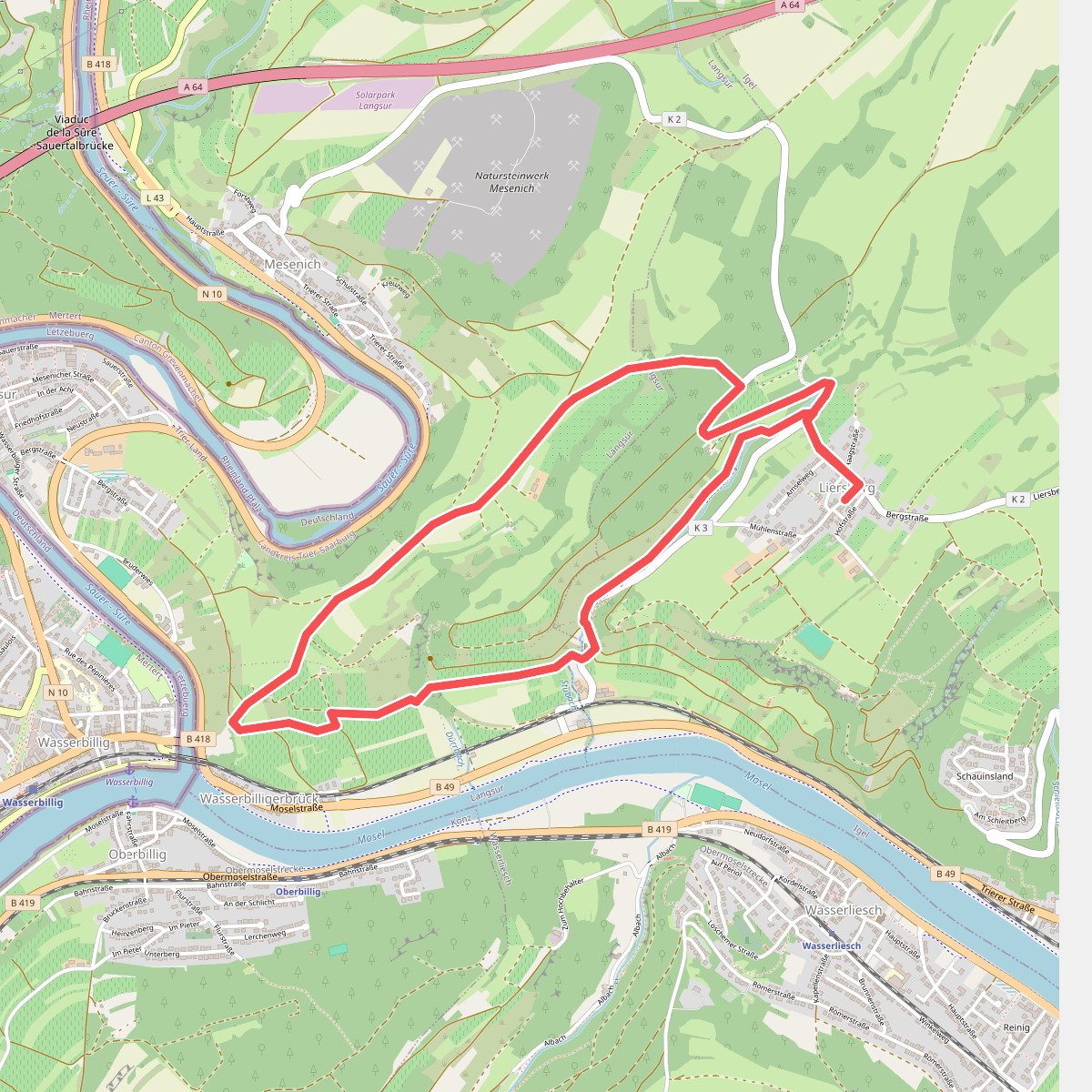
#12. Igel5 römerstraße
Langsur,Igel



