The best hiking routes in Burgenland
Discover the best walks in Burgenland. 5 routes on the map, with descriptions, photos and GPX.
About Burgenland
Burgenland is Austria's flattest province, meaning you will find no high Alpine peaks or deep rocky gorges here. Instead, the landscape is defined by a transition from vast reed beds and shallow steppe lakes in the north to gently rolling forested hills in the south. Walking here is mostly on flat gravel paths, dirt tracks, and wooden boardwalks that elevate you above the marshy ground.
Read more
About Burgenland
Burgenland is Austria's flattest province, meaning you will find no high Alpine peaks or deep rocky gorges here. Instead, the landscape is defined by a transition from vast reed beds and shallow steppe lakes in the north to gently rolling forested hills in the south. Walking here is mostly on flat gravel paths, dirt tracks, and wooden boardwalks that elevate you above the marshy ground.
Read moreBurgenland is Austria's flattest province, meaning you will find no high Alpine peaks or deep rocky gorges here. Instead, the landscape is defined by a transition from vast reed beds and shallow steppe lakes in the north to gently rolling forested hills in the south. Walking here is mostly on flat gravel paths, dirt tracks, and wooden boardwalks that elevate you above the marshy ground.
In the north, Nationalpark Neusiedler See - Seewinkel and the adjacent Fertő-Hanság Nemzeti Park offer wide, open vistas dominated by salt ponds and lakeside pastures. Walking here in May brings you close to nesting waterbirds, but the lack of shade means you are fully exposed to the elements. The ground underfoot is mostly hard-packed earth and gravel. It is a stark contrast to the southern borderlands, where the terrain rises slightly into the quiet, wooded hills of the Őrségi Nemzeti Park, where paths wind through dense pine forests and small, scattered farming settlements.
For those seeking river landscapes, the Lafnitztal - Neudauer Teiche area in the south offers paths along slow-flowing meadow streams and fishponds. While the northern lakeside trails can get busy with birdwatchers and cyclists, these southern river valleys and forested hills are generally much quieter. You will notice how the land has been shaped by traditional low-intensity farming, leaving a patchwork of meadows and copses rather than dramatic wilderness.
Nature areas in Burgenland
Zoom or pan for more routes
Hiking routes in Burgenland (5)
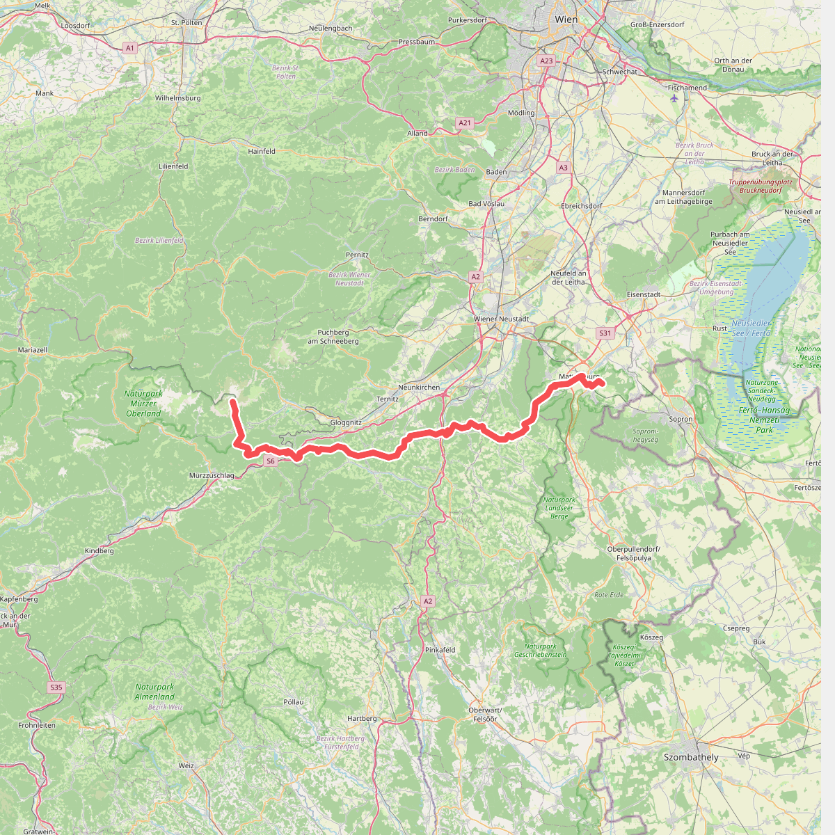
#1. Europäischer Fernwanderweg E4 alpin (Rax -Mattersburg)
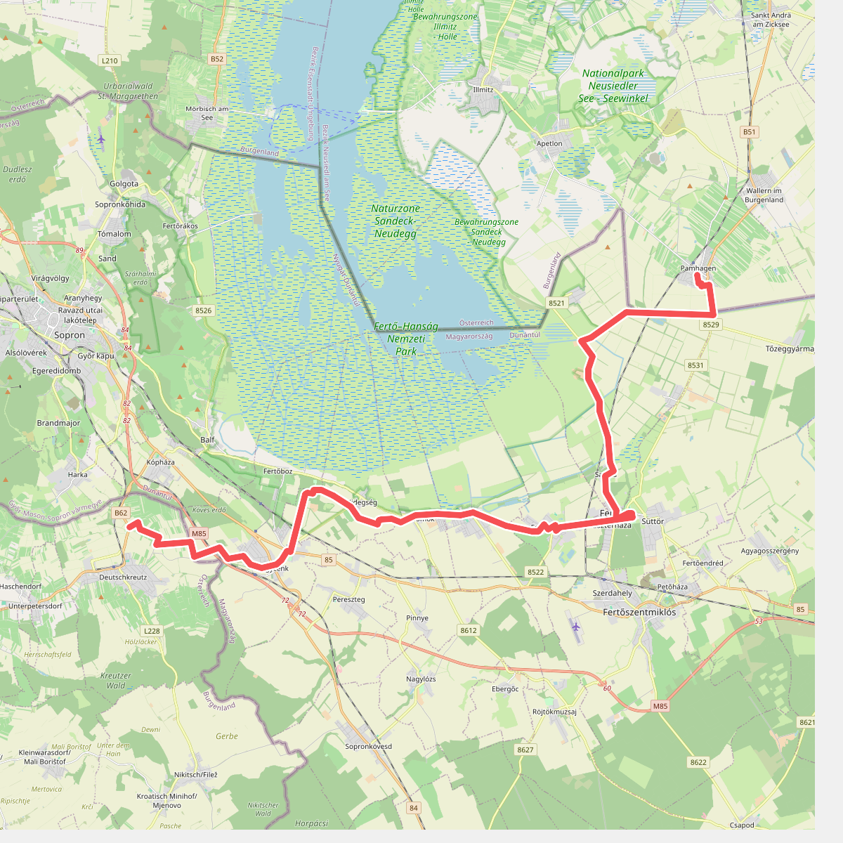
#2. Jakobsweg Burgenland – Zubringer 1
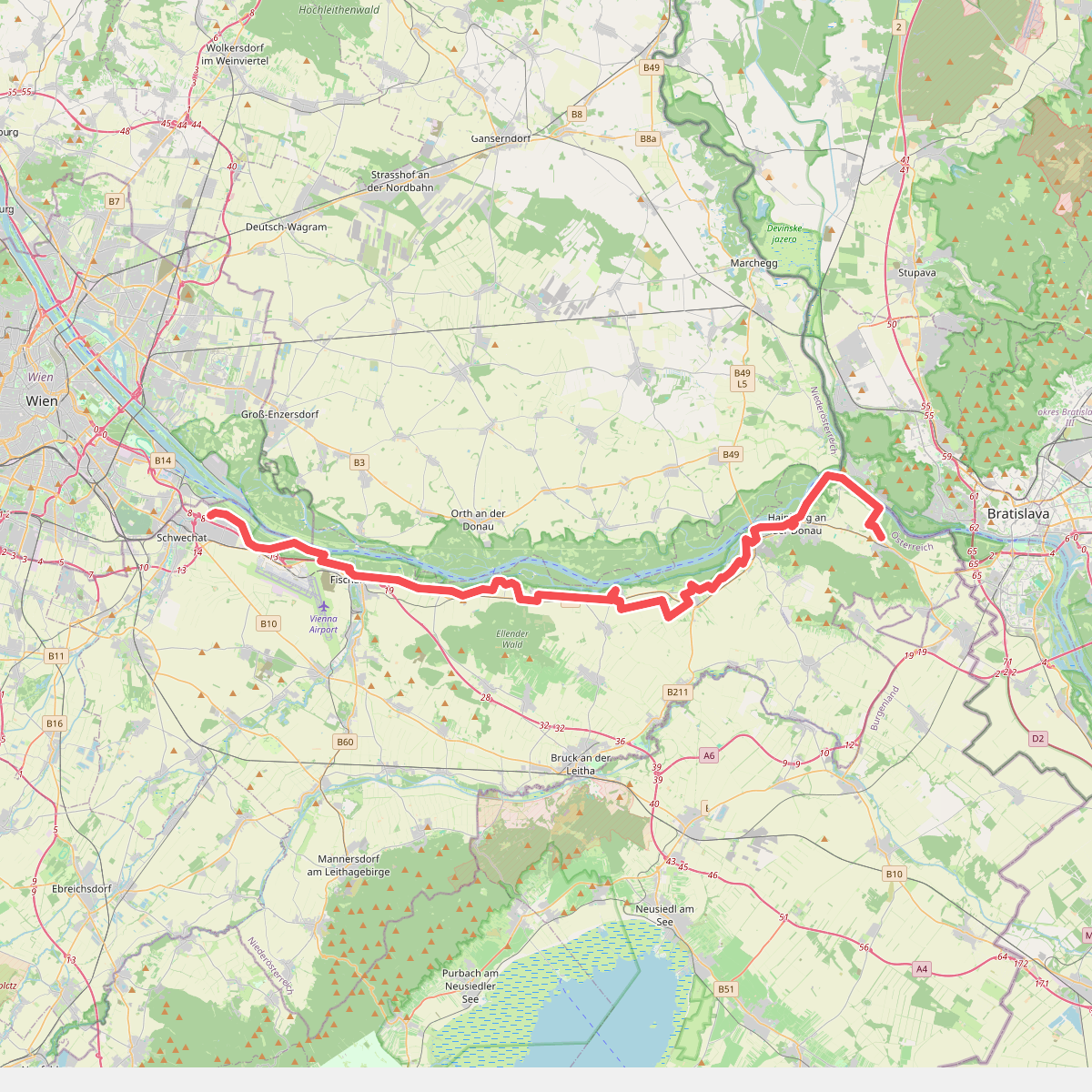
#3. Jakobsweg Wolfsthal-Schwechat
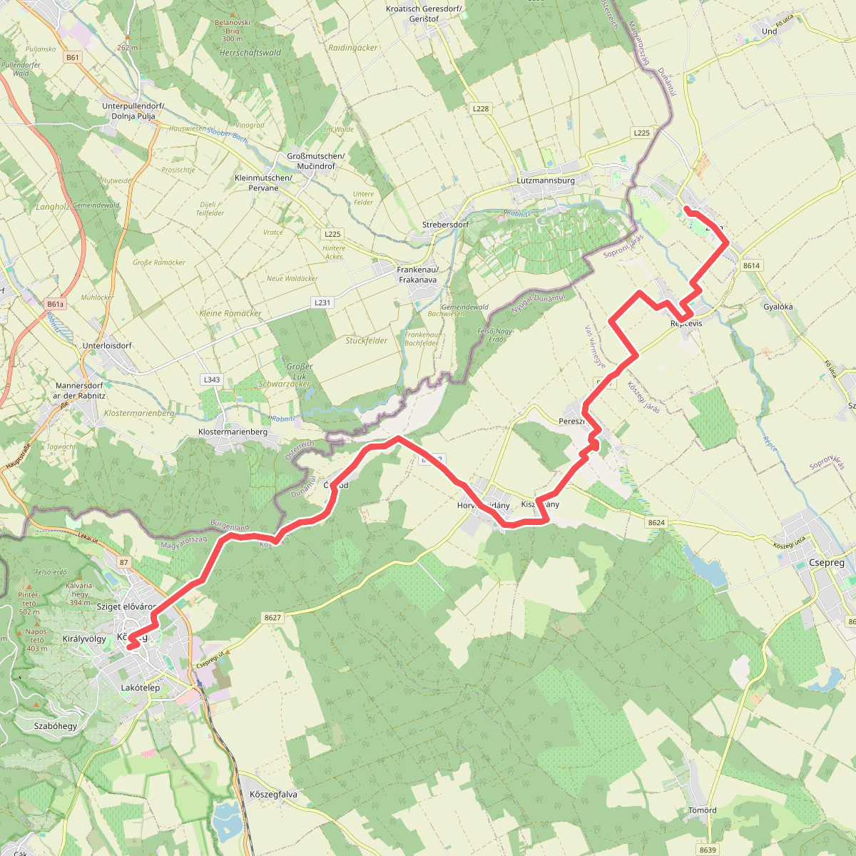
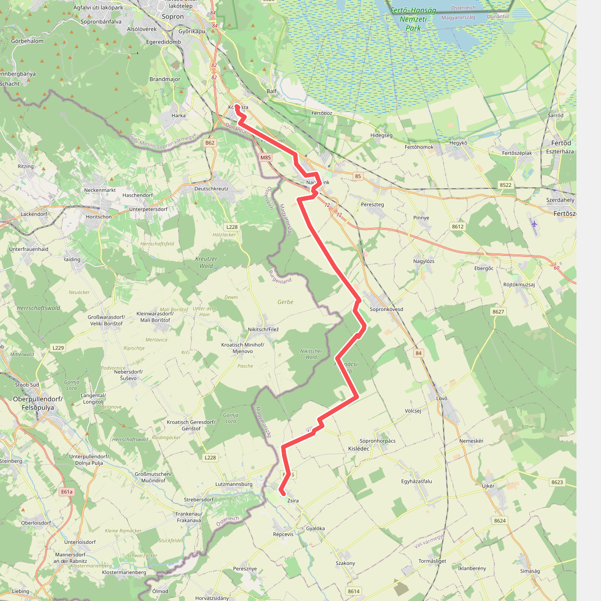
#4. Via Sancti Martini HW-11-02 (Kőszeg – Zsira)