The best hiking routes in Bragança
Discover the best walks in Bragança. 53 routes on the map, with descriptions, photos and GPX.
About Bragança
Bragança offers a stark choice between the high, rounded granite ridges of the north and the deep river canyons of the south. In the northern uplands, the Zona de Proteção Especial de Montesinho/Nogueira and the Sítio de Importância Comunitária de Montesinho-Nogueira present a landscape of open scrub, oak groves, and stone-walled pastures. Walking here means following ancient agricultural tracks made of rough schist and packed earth, where the terrain rises gently without sharp peaks or dramatic cliffs.
Read more
About Bragança
Bragança offers a stark choice between the high, rounded granite ridges of the north and the deep river canyons of the south. In the northern uplands, the Zona de Proteção Especial de Montesinho/Nogueira and the Sítio de Importância Comunitária de Montesinho-Nogueira present a landscape of open scrub, oak groves, and stone-walled pastures. Walking here means following ancient agricultural tracks made of rough schist and packed earth, where the terrain rises gently without sharp peaks or dramatic cliffs.
Read moreBragança offers a stark choice between the high, rounded granite ridges of the north and the deep river canyons of the south. In the northern uplands, the Zona de Proteção Especial de Montesinho/Nogueira and the Sítio de Importância Comunitária de Montesinho-Nogueira present a landscape of open scrub, oak groves, and stone-walled pastures. Walking here means following ancient agricultural tracks made of rough schist and packed earth, where the terrain rises gently without sharp peaks or dramatic cliffs.
Further south, the landscape changes abruptly where the rivers have carved deep gorges into the plateau. The Zona de Proteção Especial dos Rios Sabor e Maçãs and the adjacent Rios Sabor e Maçãs protect these steep, rocky valleys. Underfoot, the paths are often loose shale and steep gravel, requiring more careful stepping than the northern tracks. The vegetation shifts to hardy Mediterranean scrub, olive trees, and rock-clinging shrubs, reflecting the drier, warmer microclimate of the valley floors.
For those seeking dramatic canyon walls, the Parque Natural do Douro Internacional on the border offers sheer granite cliffs dropping down to the river. The paths here are often rocky and exposed, quite different from the softer, wooded slopes of the northern oak forests. In May, these southern river valleys are already dry and yellowing, while the northern high pastures of Montesinho remain green and damp.
Nature areas in Bragança
Zoom or pan for more routes
Hiking routes in Bragança (53)
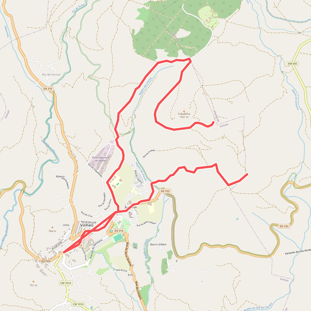
#1. A Caminho da Ciradelha
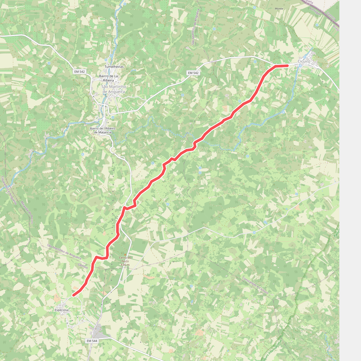
#2. Caminho de Santo Amaro a Especiosa
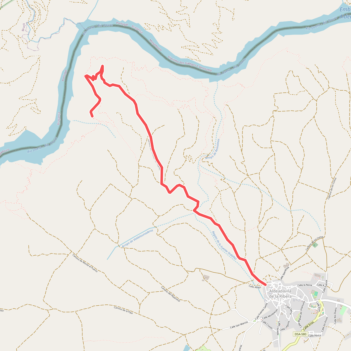
#3. camino del mirador de Rupitín
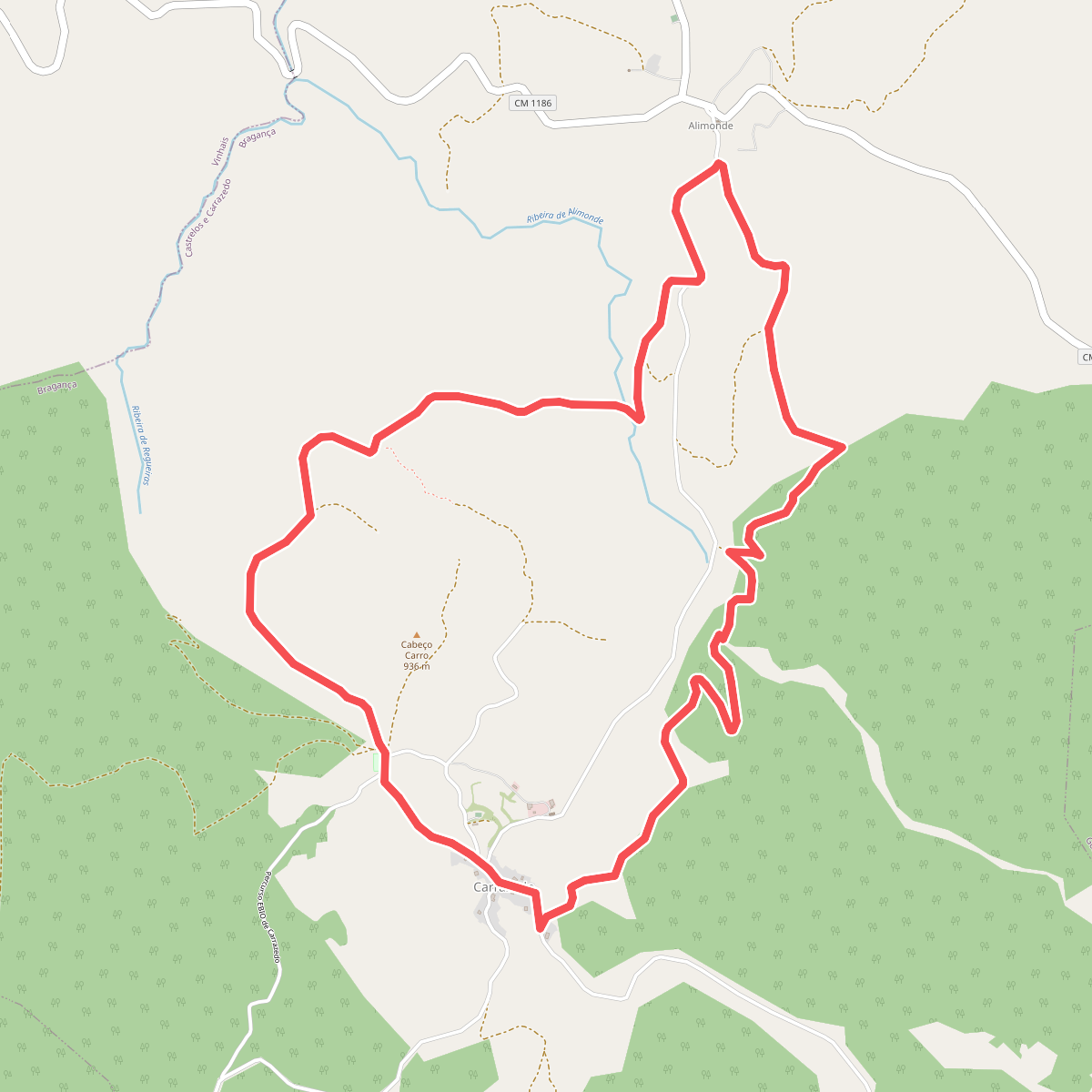
#4. Da Via Romana aos Carvalhais e Lameiros
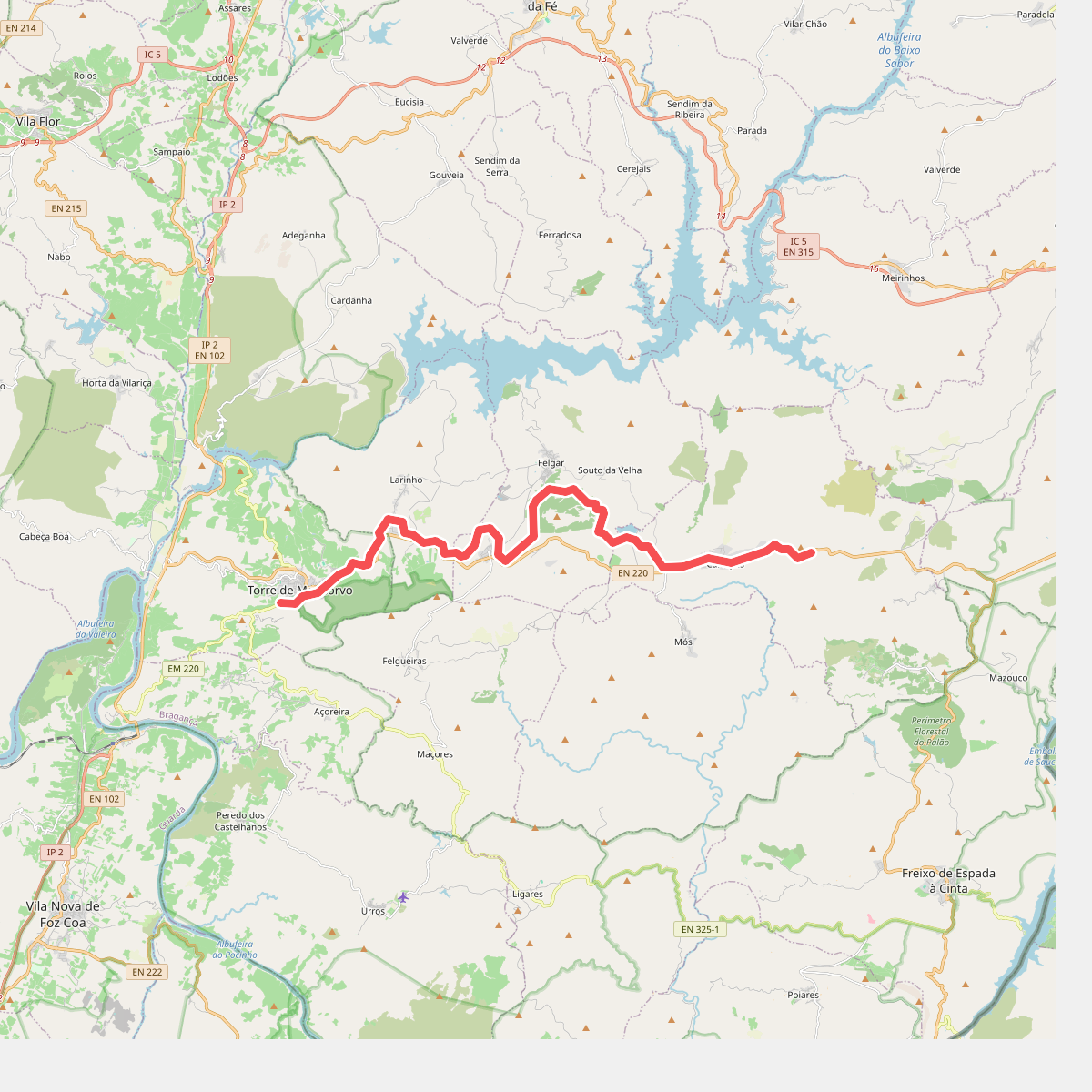
#5. Ecopista do Sabor
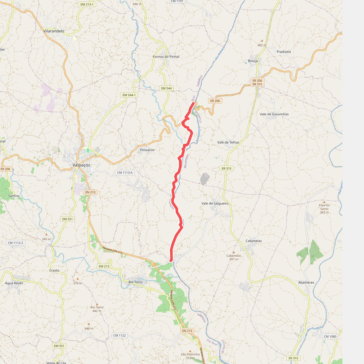
#6. Ecovia do rabaçal (Da Praia Fluvial a Lilela)
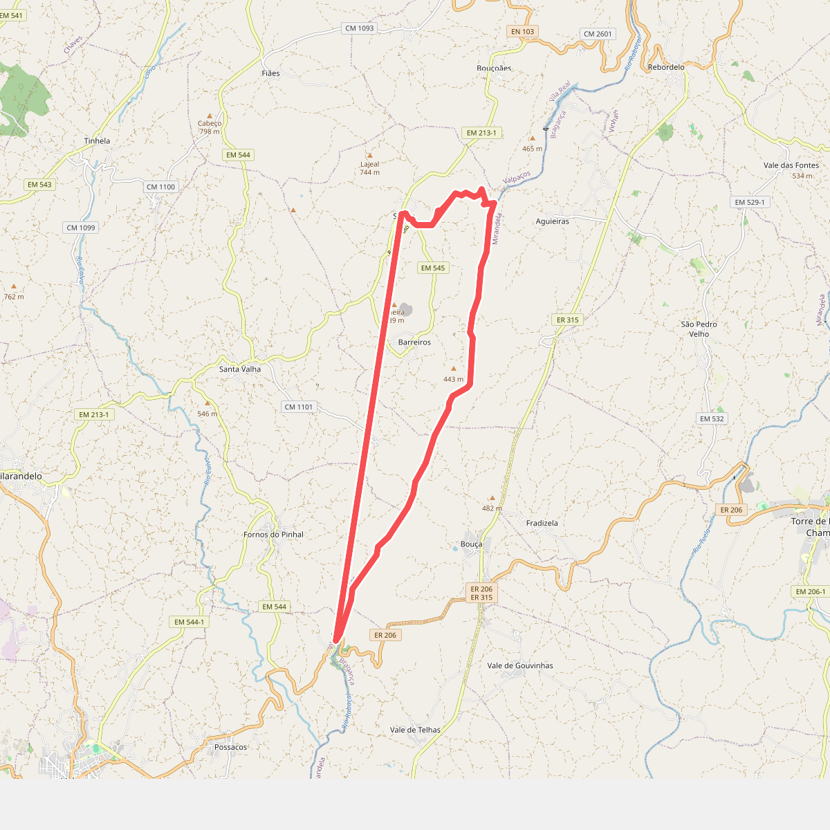
#7. Ecovia do rabaçal (De Sonim à Praia fluvial)
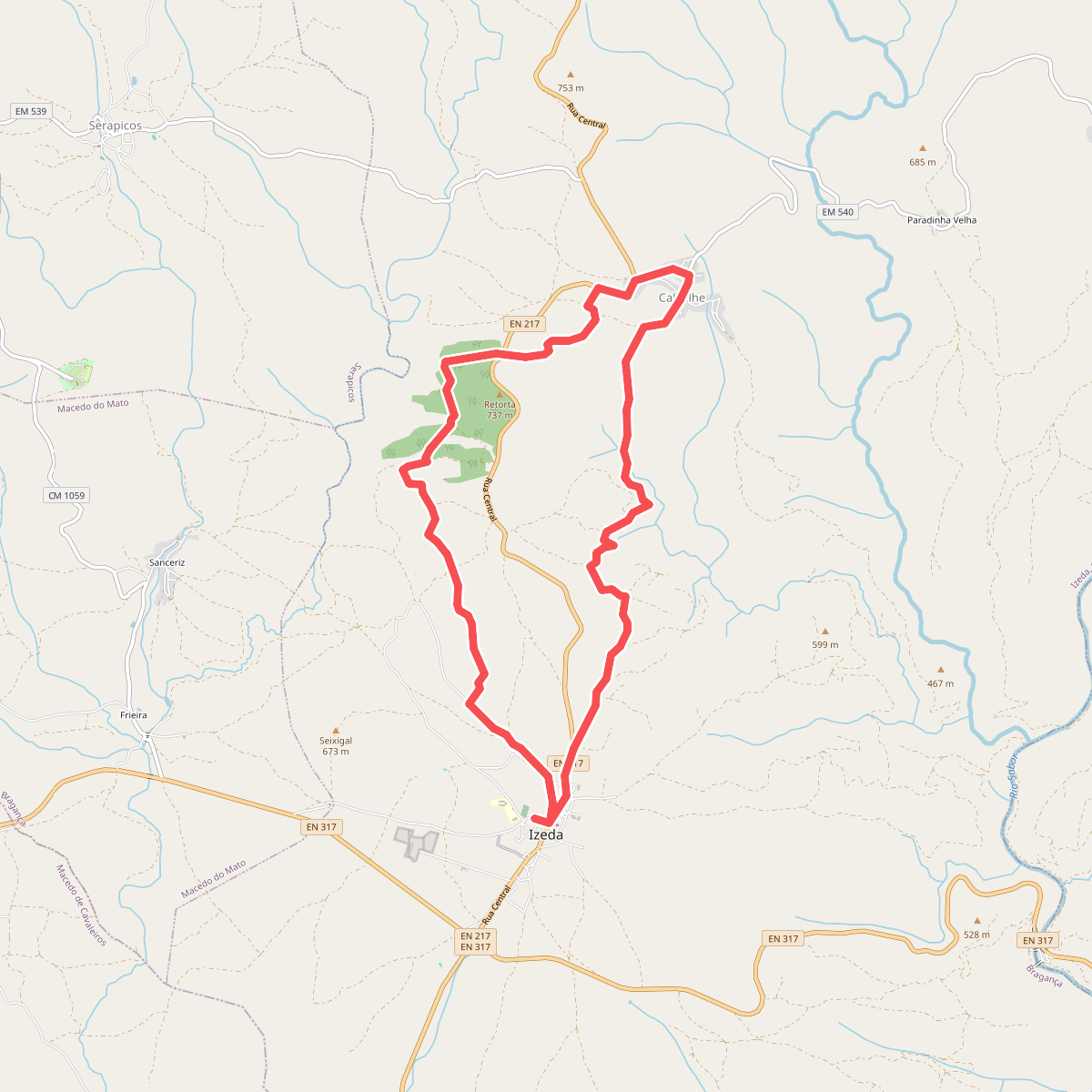
#8. Entre as ribeiras da Veiga e de Vilalva, à descoberta dos olivais
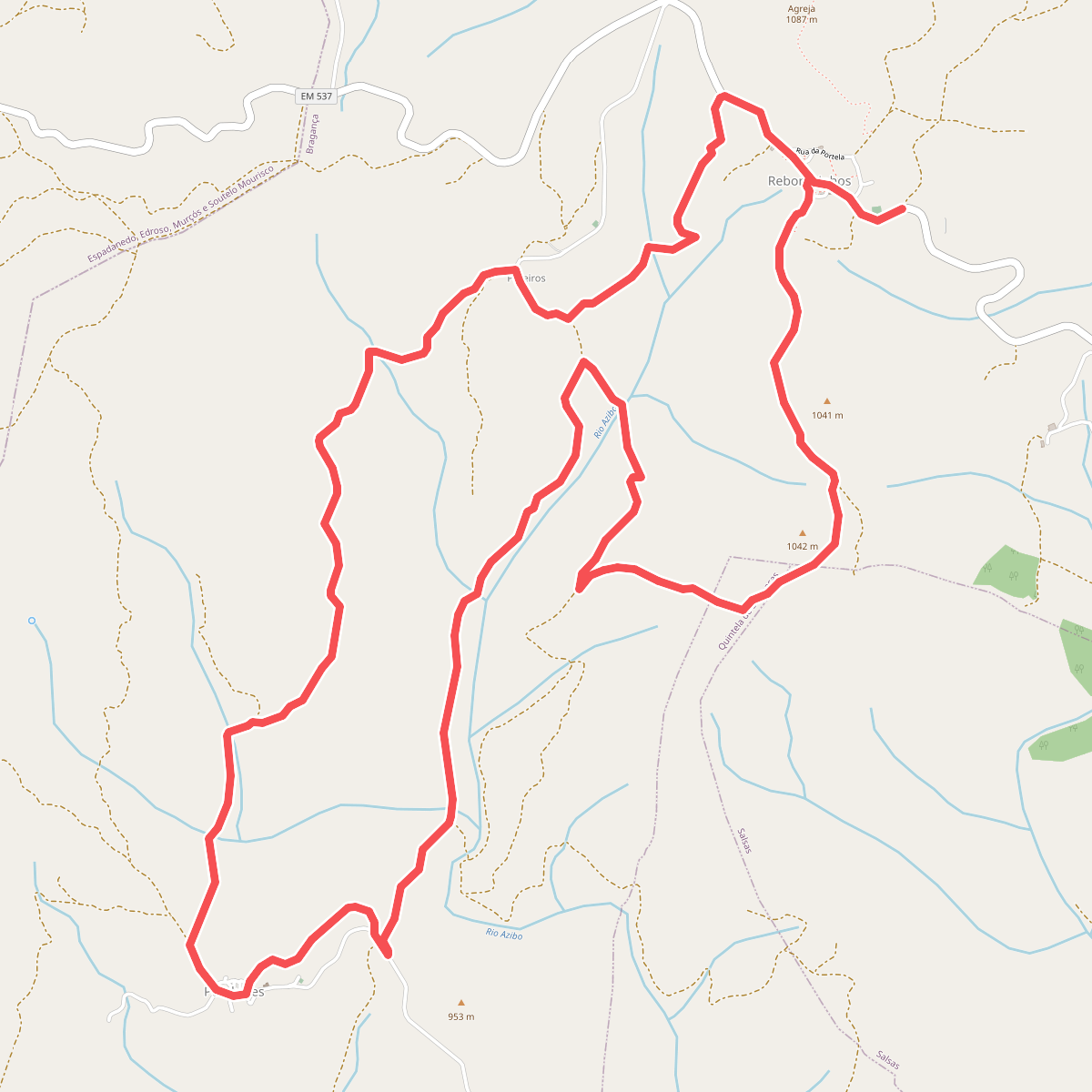
#9. Entre Carvalhais e Vales encaixados
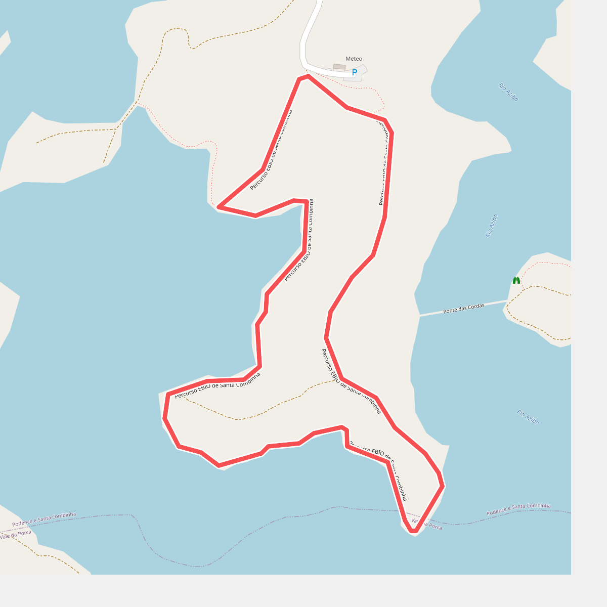
#10. Estação da Biodiversidade d. ...
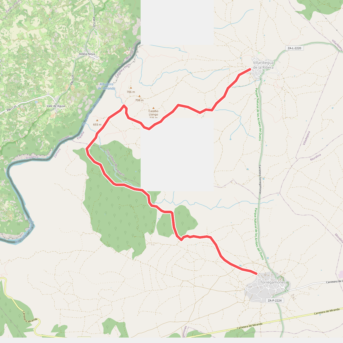
#11. Etapa 23: Villardiegua de la Ribera – Torregamones