

The best hiking routes in Baden-Württemberg
Discover the best walks in Baden-Württemberg. 5729 routes on the map, with descriptions, photos and GPX.
About Baden-Württemberg
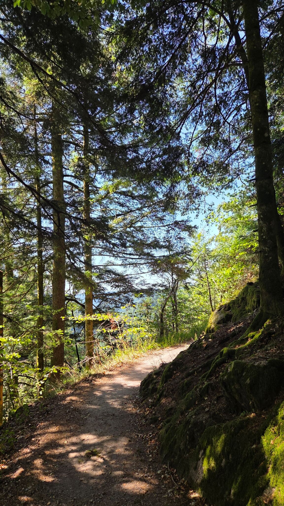
Baden-Württemberg's walking terrain is defined by a clear contrast between the dense, high-altitude coniferous forests of the west and the deeply incised river valleys and limestone plateaus of the east. If you prefer rugged, forested ridges with steep drops, the Black Forest region is the obvious starting point. Here, the Nationalpark Schwarzwald offers paths over damp bogs, granite boulders, and soft pine-needle tracks, while the surrounding Naturpark Schwarzwald Mitte/Nord and Naturpark Südschwarzwald provide a mix of dark woodland and open, high-altitude pastures that lack alpine peaks but offer steady, demanding climbs.
Read more
About Baden-Württemberg
Baden-Württemberg's walking terrain is defined by a clear contrast between the dense, high-altitude coniferous forests of the west and the deeply incised river valleys and limestone plateaus of the east. If you prefer rugged, forested ridges with steep drops, the Black Forest region is the obvious starting point. Here, the Nationalpark Schwarzwald offers paths over damp bogs, granite boulders, and soft pine-needle tracks, while the surrounding Naturpark Schwarzwald Mitte/Nord and Naturpark Südschwarzwald provide a mix of dark woodland and open, high-altitude pastures that lack alpine peaks but offer steady, demanding climbs.
Read moreBaden-Württemberg's walking terrain is defined by a clear contrast between the dense, high-altitude coniferous forests of the west and the deeply incised river valleys and limestone plateaus of the east. If you prefer rugged, forested ridges with steep drops, the Black Forest region is the obvious starting point. Here, the Nationalpark Schwarzwald offers paths over damp bogs, granite boulders, and soft pine-needle tracks, while the surrounding Naturpark Schwarzwald Mitte/Nord and Naturpark Südschwarzwald provide a mix of dark woodland and open, high-altitude pastures that lack alpine peaks but offer steady, demanding climbs.
For a completely different landscape of sheer limestone cliffs and dry plateau walking, head to the Naturpark Obere Donau, where the young Danube has cut a deep gorge through the Swabian Jura. The paths here are often stony and steep, leading to exposed rock outcrops overlooking the river bend. In contrast, the northern reaches of the state, such as the Naturpark Neckartal-Odenwald and Naturpark Spessart, present gentler, rolling sandstone hills covered in ancient beech forests, where the underfoot conditions are dominated by soft leaf litter and wide forest tracks.
In October, the deciduous canopy of the Naturpark Schwäbisch-Fränkischer Wald turns a vibrant yellow, making it a distinct choice for walkers who prefer quiet, damp ravines and small waterfalls over dramatic mountain vistas. This region, along with the nearby Naturpark Frankenhöhe, is characterized by agricultural plains broken up by narrow, wooded ridges, where you will walk mostly on firm gravel forestry tracks and dirt paths through orchards. These northern and eastern parks are generally quieter than the popular lakeside trails of the southern Black Forest.
Nature areas in Baden-Württemberg
Zoom or pan for more routes
Hiking routes in Baden-Württemberg (5,729)
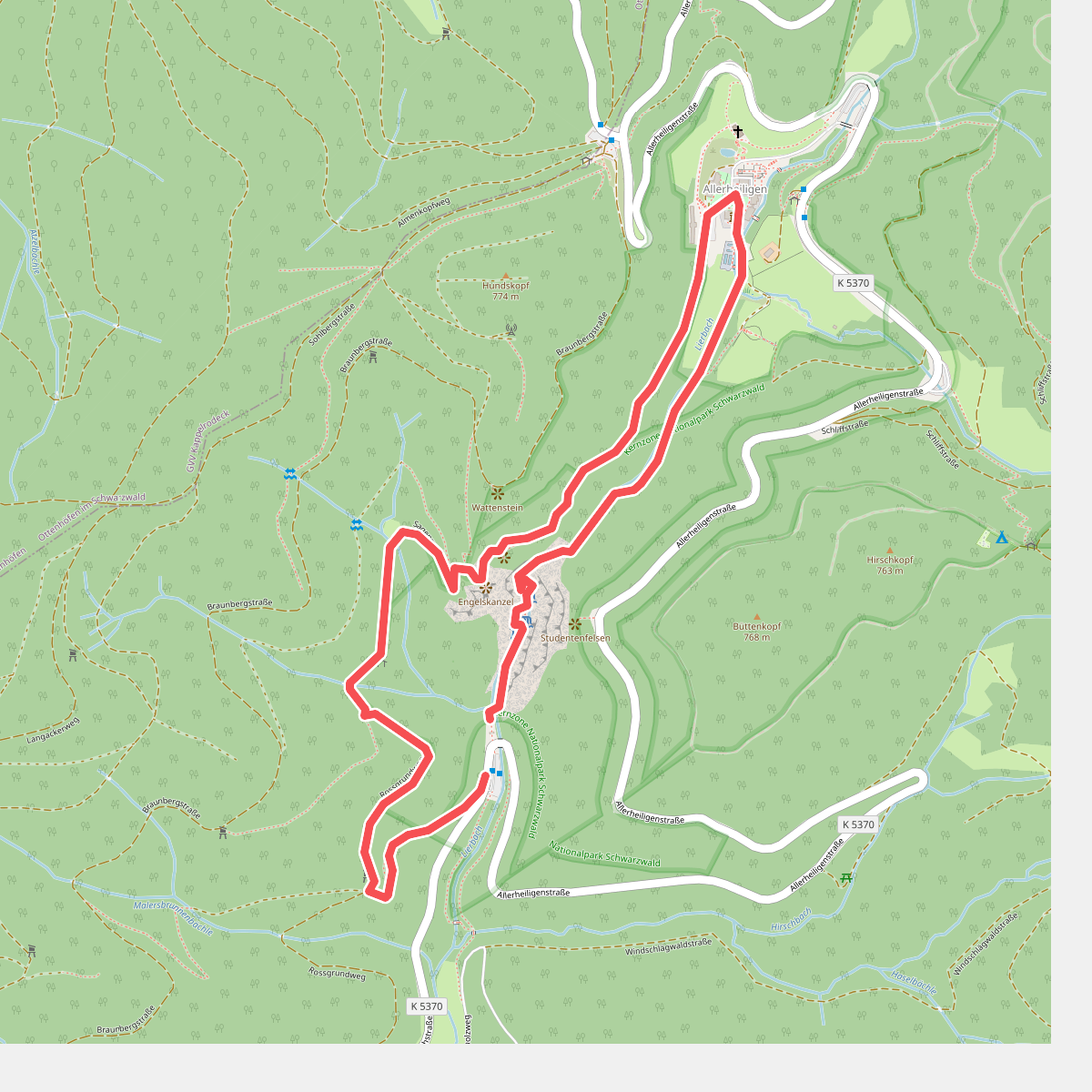
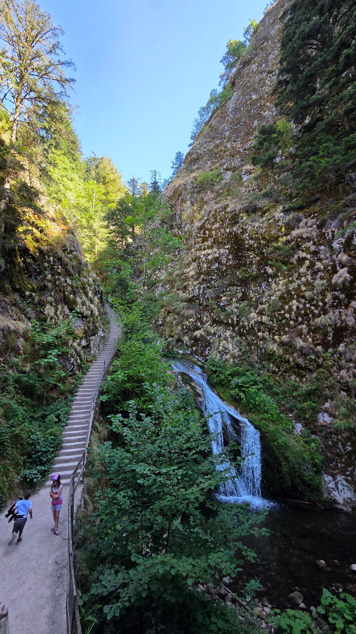
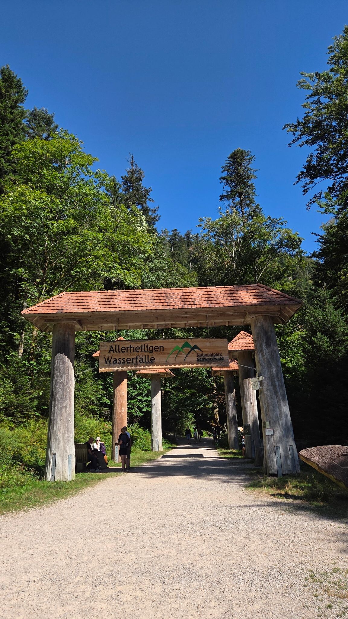
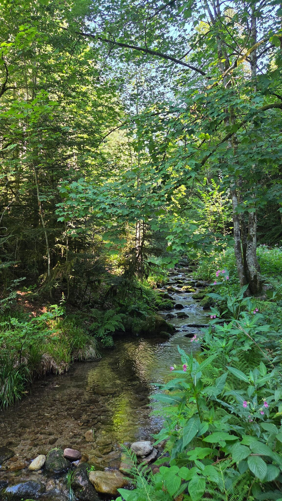
#1. Sagenrundweg (Allerheiligen Watervallen)
Oppenau
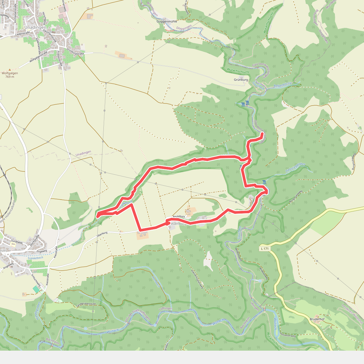
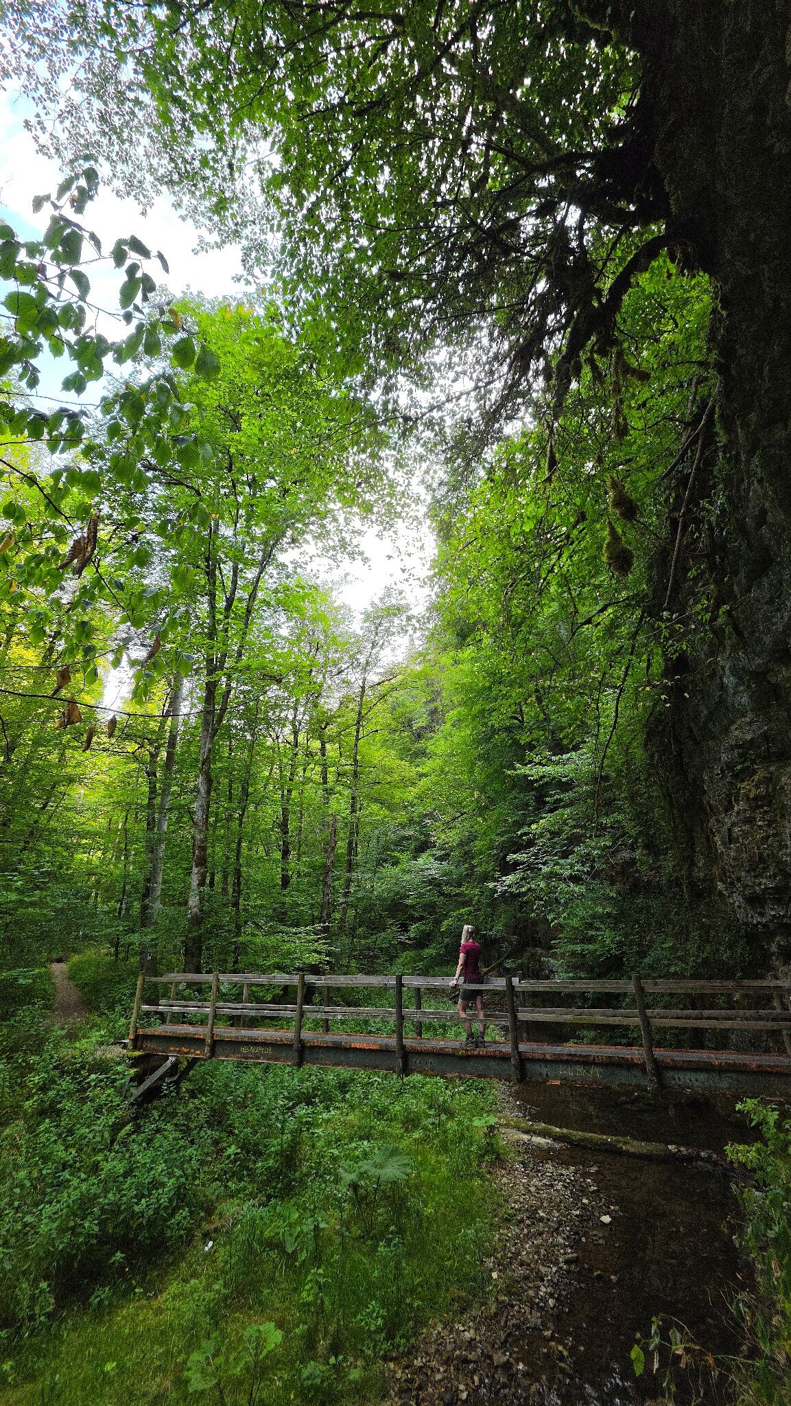
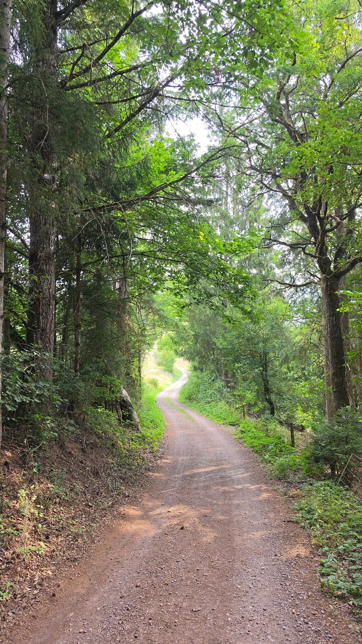
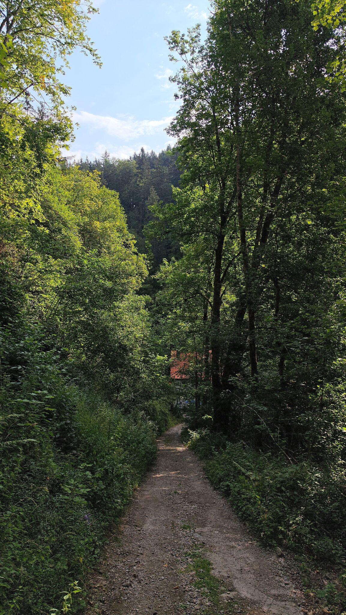
#2. WandelWeb route - 3 Schluchten-tour (verkort)
Löffingen
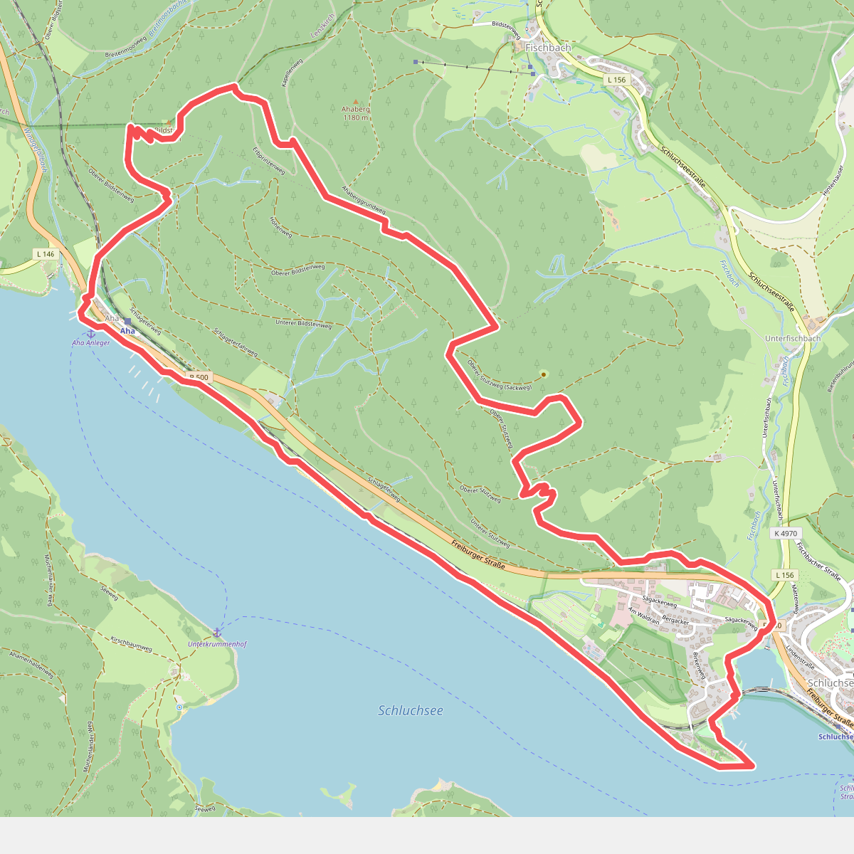
#3. Genießerpfad - Jägersteig
Schluchsee
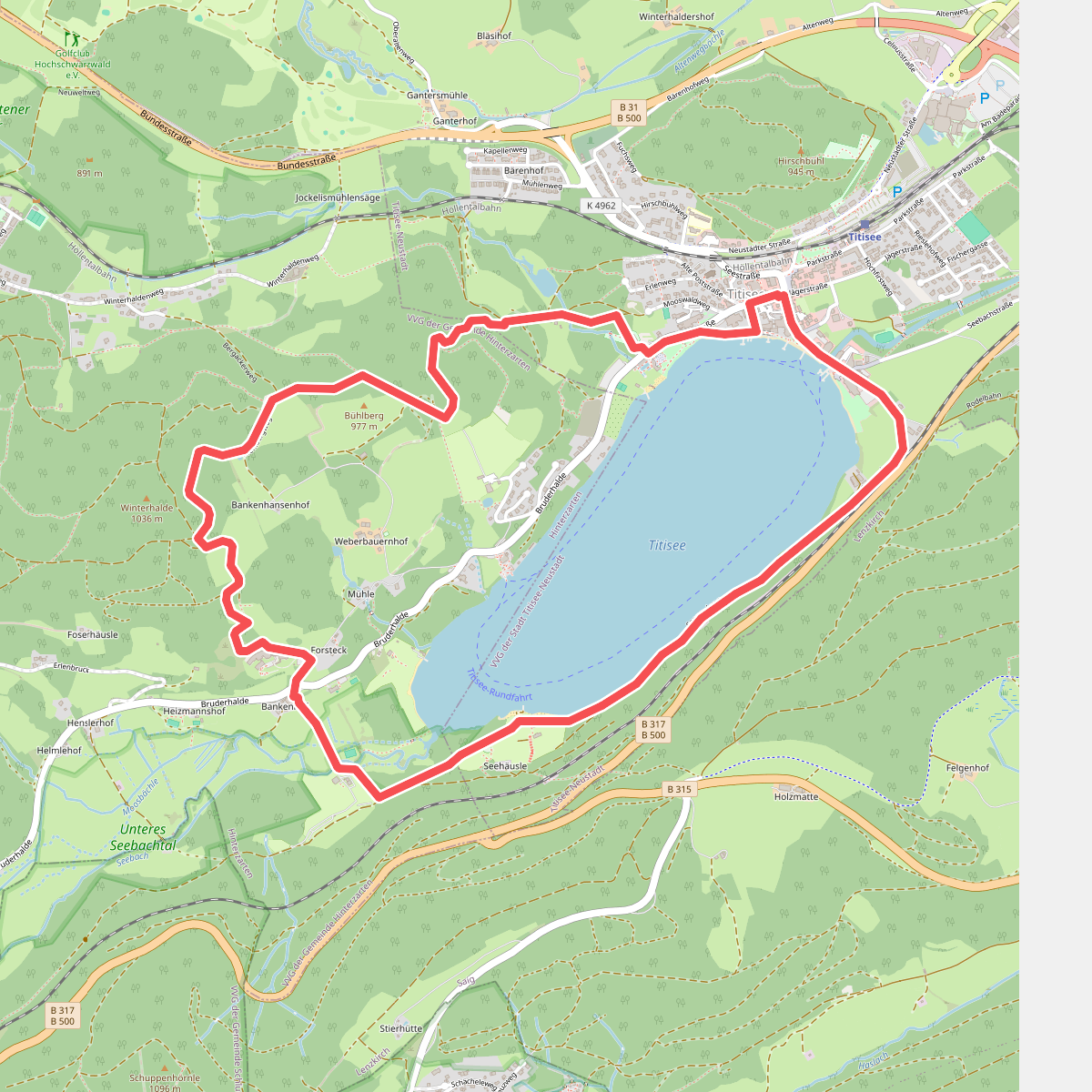
#4. Titisee-Rundweg
Hinterzarten
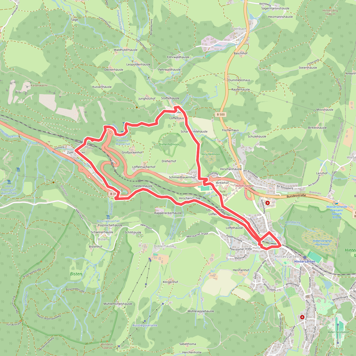
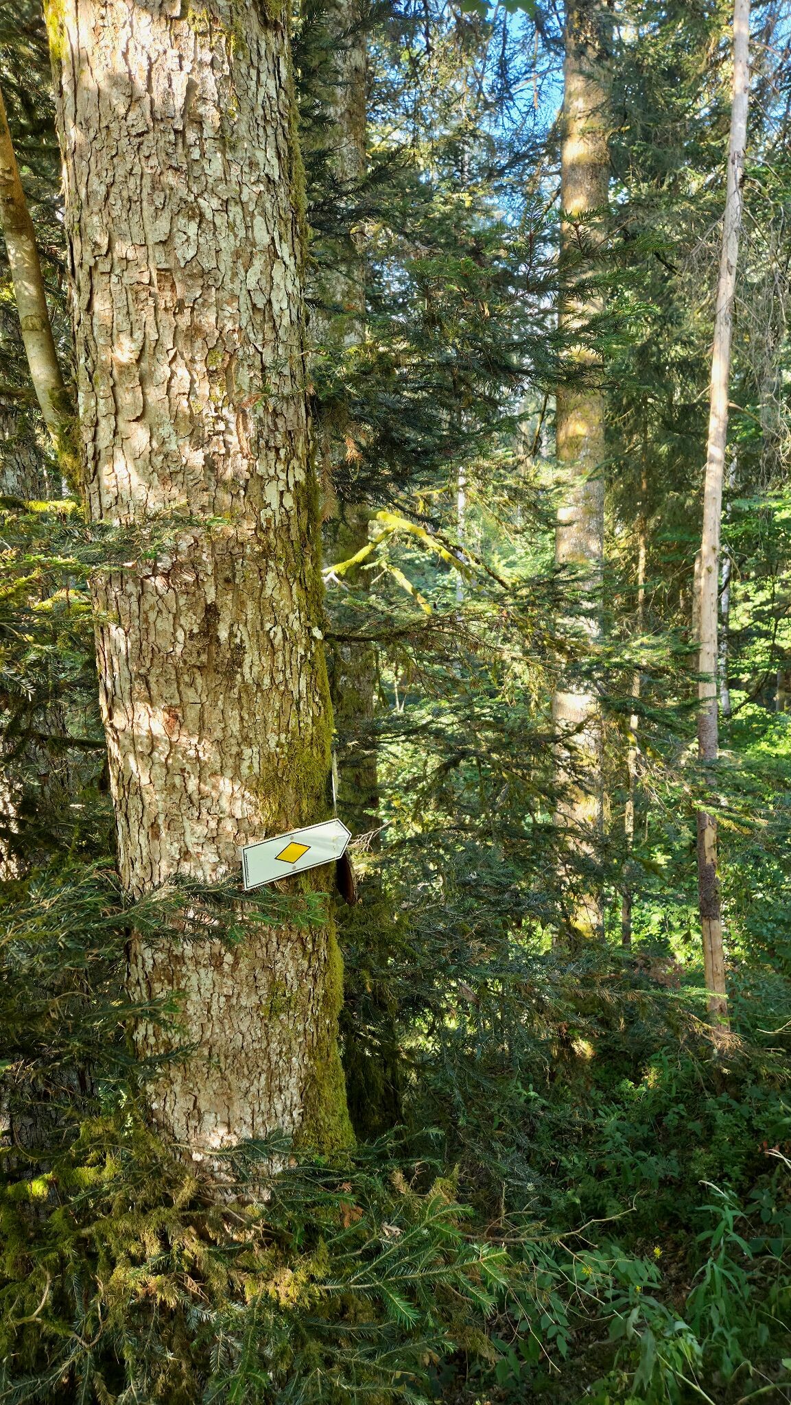
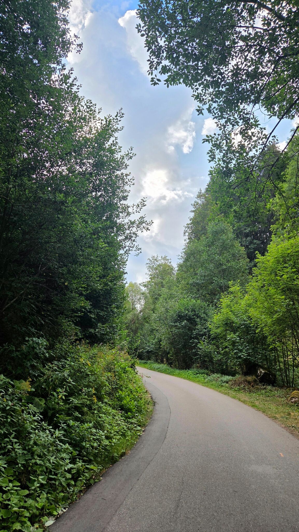
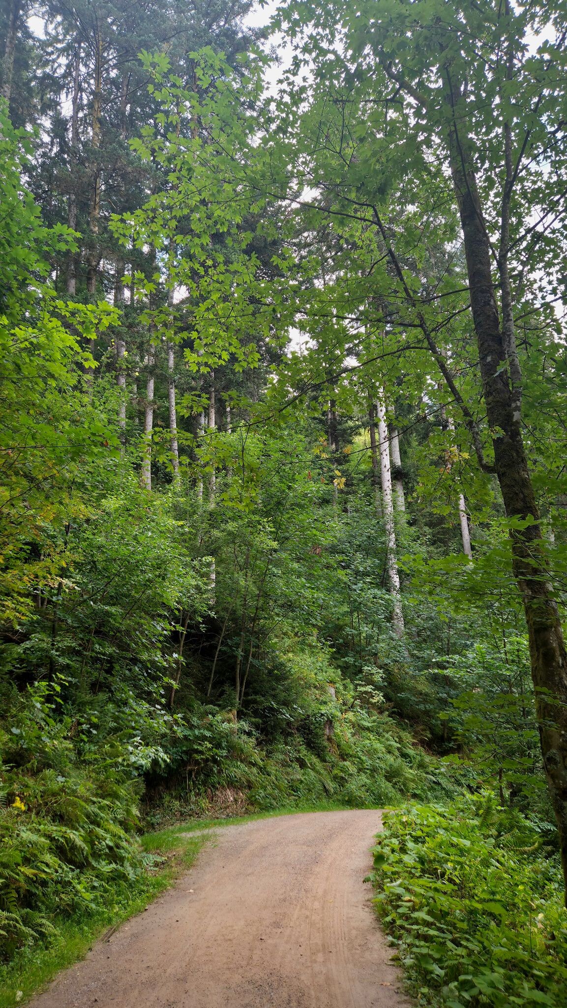
#5. Heimatpfad Hochschwarzwald von Hinterzarten durch die Ravennaschlucht
Hinterzarten,Breitnau
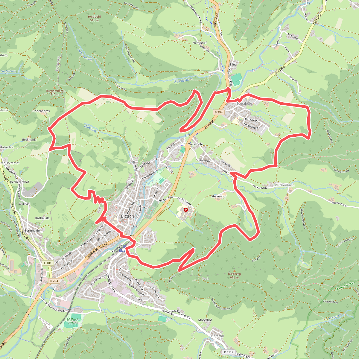
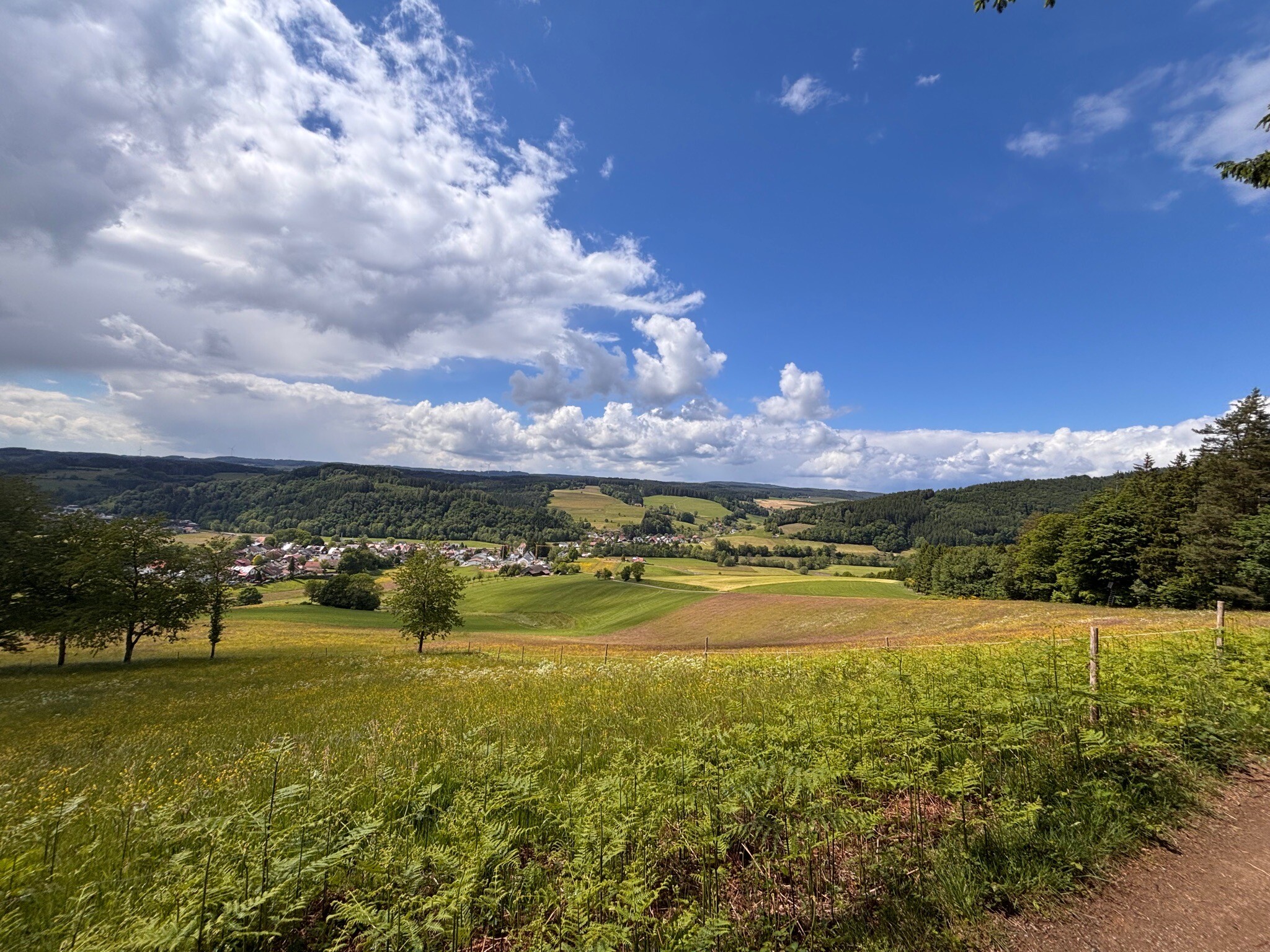
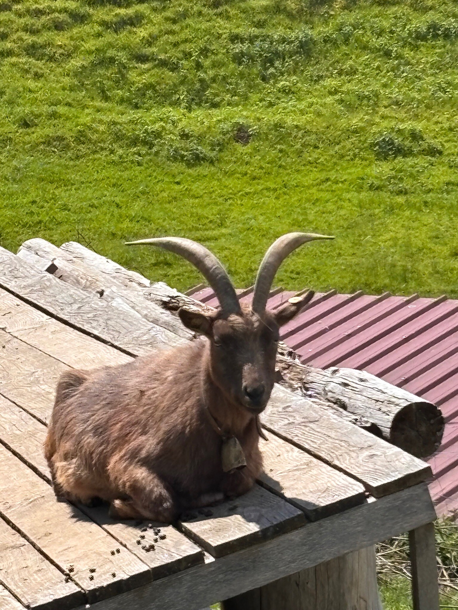
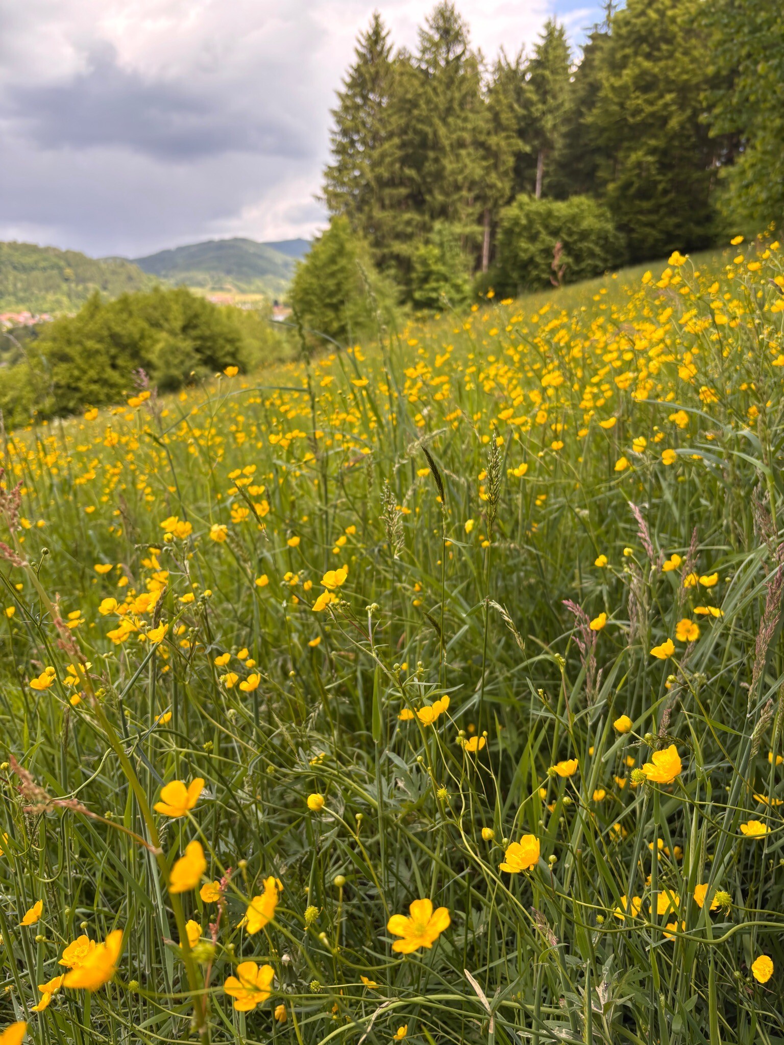
#6. Rundweg Goldener Kopf
Elzach,Biederbach
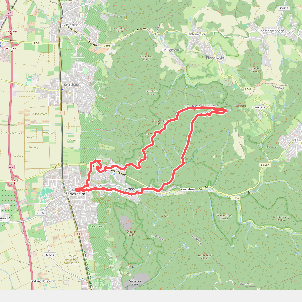
#7. Rundwanderweg Schriesheim 3: Schriesheimer-Hütten-Weg
Schriesheim
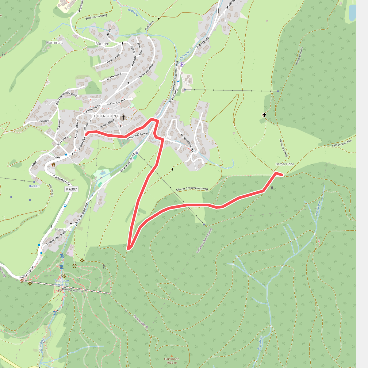
#8. Berger Höhe - Todtnauberg Rathausplatz
Todtnau
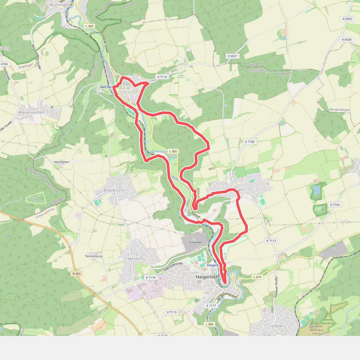
#9. Eyachtal-Rundweg
Haigerloch
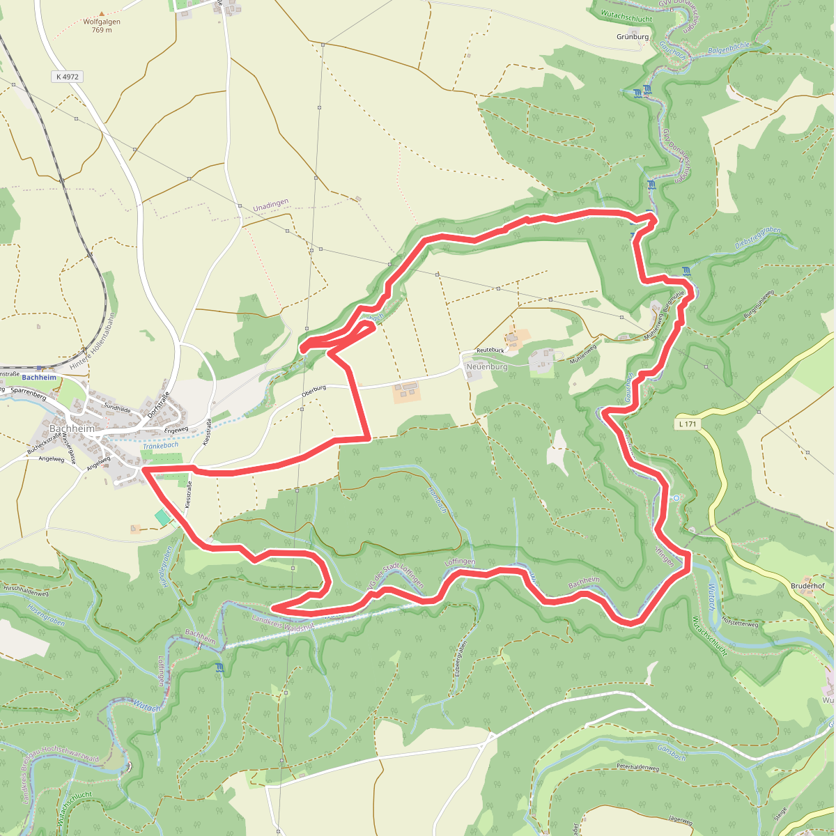
#10. Genießerpfad - 3-Schluchten-Tour
Löffingen,Hüfingen
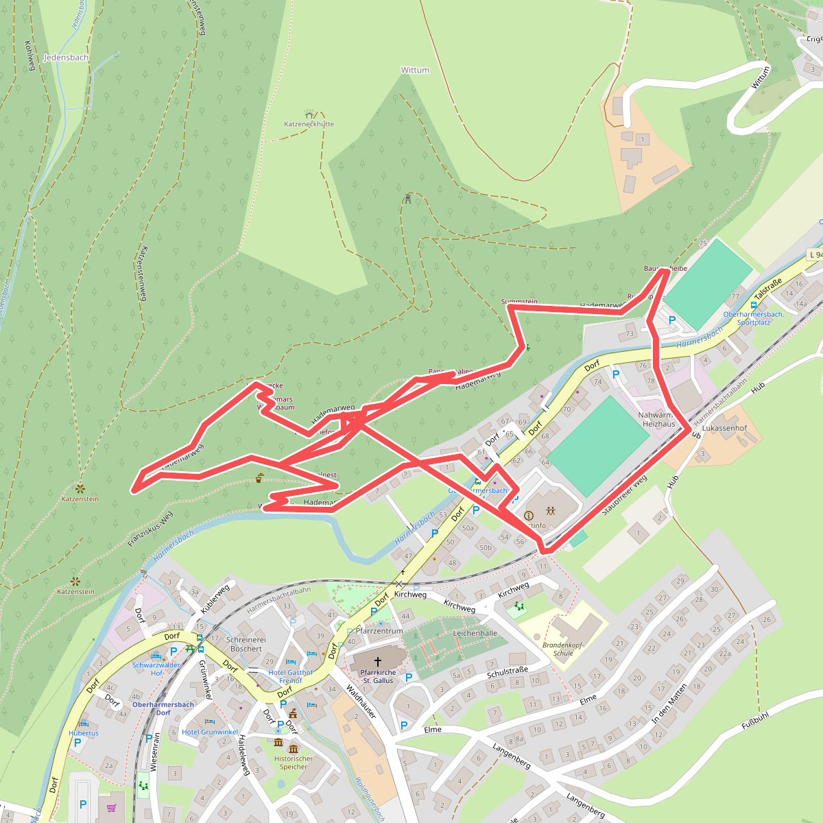
#11. Naturerlebnisspfad Oberharmersbach
Oberharmersbach
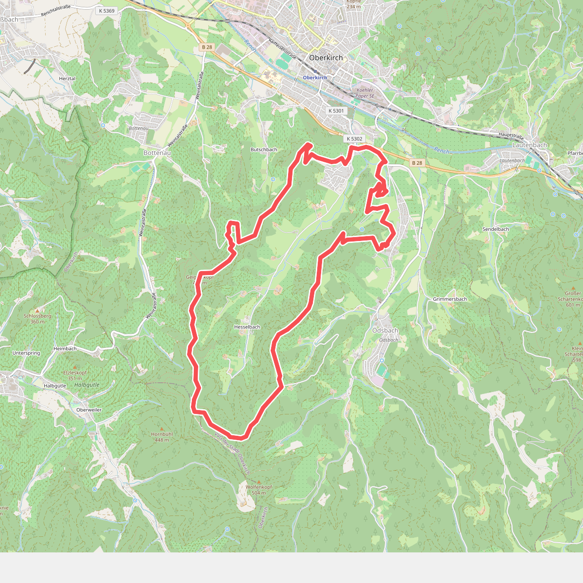
#12. Oberkircher Brennersteig
Oberkirch



