

The best hiking routes in Appenzell Innerrhoden
Discover the best walks in Appenzell Innerrhoden. 43 routes on the map, with descriptions, photos and GPX.
About Appenzell Innerrhoden
Appenzell Innerrhoden is defined by a sharp contrast between two distinct landscapes. To the north, the terrain consists of green, rolling hills dotted with scattered farmhouses, where walking paths follow grassy ridges and gravel agricultural tracks. In contrast, the southern horizon is dominated by the Alpstein, a compact massif of steep limestone cliffs, scree slopes, and deep alpine lakes. You will not find vast pine forests or flat river plains here; instead, the landscape transitions abruptly from gentle dairy pastures to sheer rock walls.
Read more
About Appenzell Innerrhoden
Appenzell Innerrhoden is defined by a sharp contrast between two distinct landscapes. To the north, the terrain consists of green, rolling hills dotted with scattered farmhouses, where walking paths follow grassy ridges and gravel agricultural tracks. In contrast, the southern horizon is dominated by the Alpstein, a compact massif of steep limestone cliffs, scree slopes, and deep alpine lakes. You will not find vast pine forests or flat river plains here; instead, the landscape transitions abruptly from gentle dairy pastures to sheer rock walls.
Read moreAppenzell Innerrhoden is defined by a sharp contrast between two distinct landscapes. To the north, the terrain consists of green, rolling hills dotted with scattered farmhouses, where walking paths follow grassy ridges and gravel agricultural tracks. In contrast, the southern horizon is dominated by the Alpstein, a compact massif of steep limestone cliffs, scree slopes, and deep alpine lakes. You will not find vast pine forests or flat river plains here; instead, the landscape transitions abruptly from gentle dairy pastures to sheer rock walls.
Underfoot, the paths reflect this geological divide. Lower-altitude routes cross soft meadows where wooden stiles help you climb over cattle fences, meaning you will often walk directly through active pastures. As you ascend into the limestone areas, the ground turns to hard, fractured stone, with steep sections secured by steel cables and steps carved directly into the bedrock. In June, the higher passes like the Äscher or the Ebenalp still hold patches of old snow, while the lower valleys are already lush and green.
The region is compact, meaning popular spots like the Seealpsee can become busy with day-trippers, especially around the mountain guesthouses. For a quieter walk, choosing the less-publicised paths through the mid-altitude hills offers a steadier, more rural experience. Understanding this layout helps you choose between a demanding mountain climb on exposed rock or a moderate walk through working agricultural land.
Zoom or pan for more routes
Hiking routes in Appenzell Innerrhoden (43)
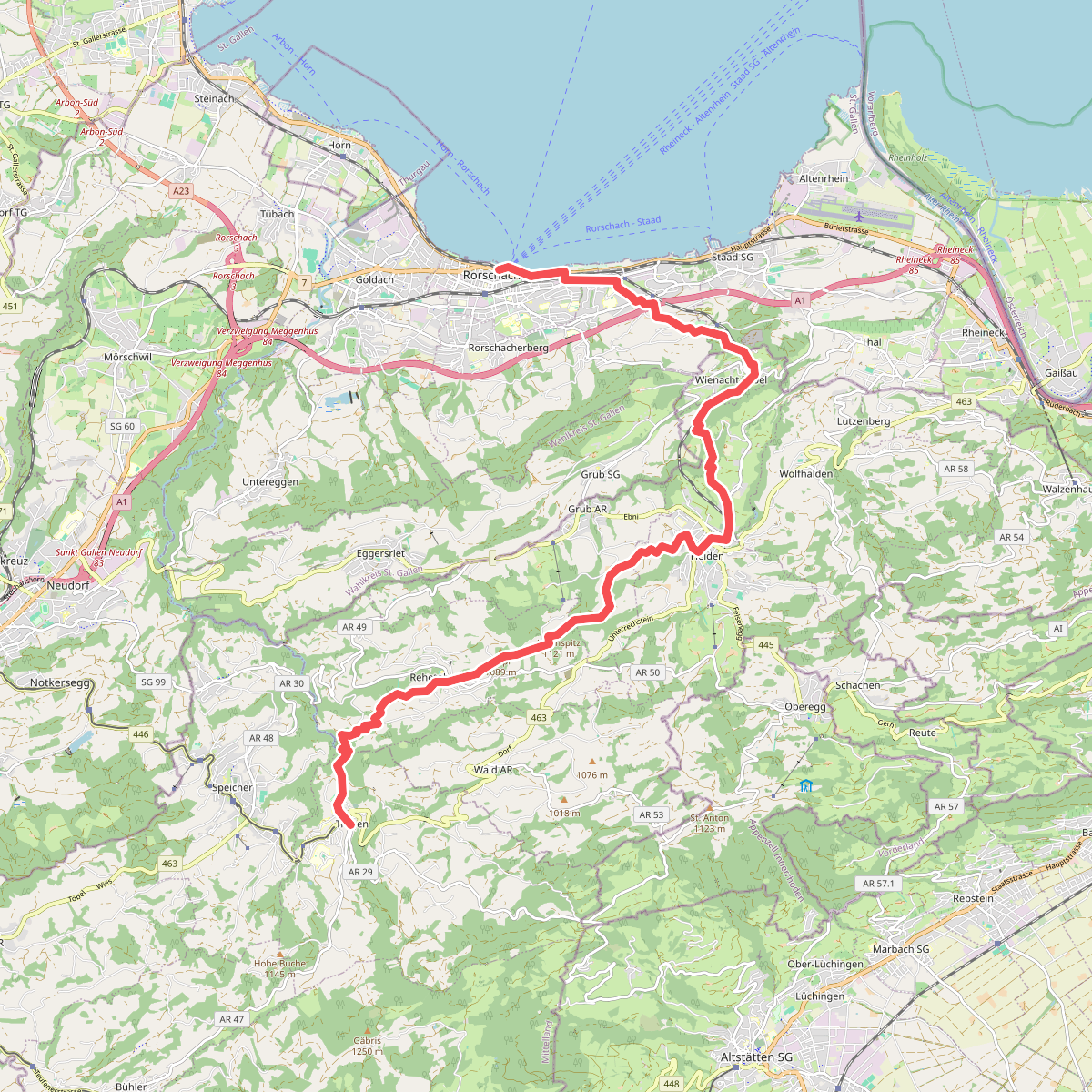
#1. Alpenpanorama-Weg
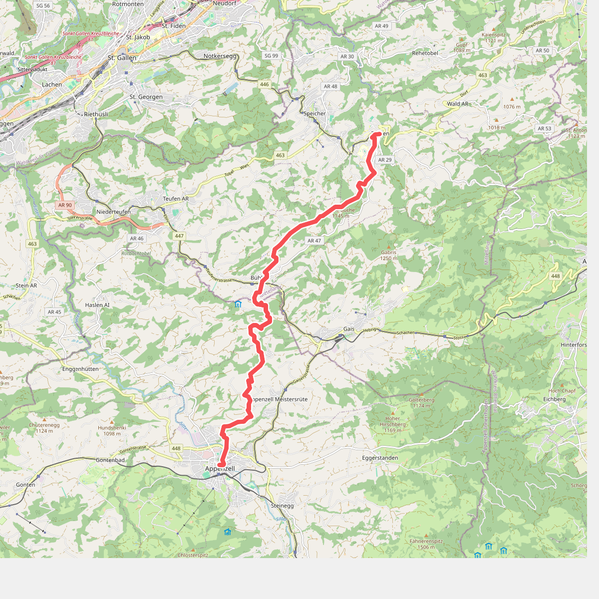
#2. Alpenpanorama-Weg
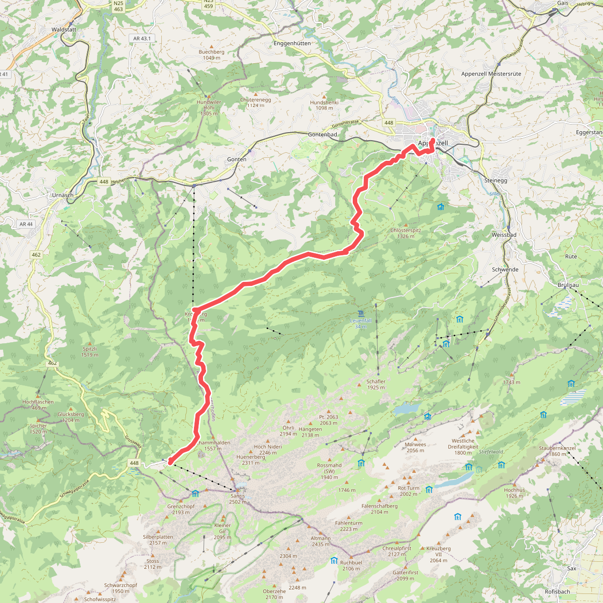
#3. Alpenpanorama-Weg
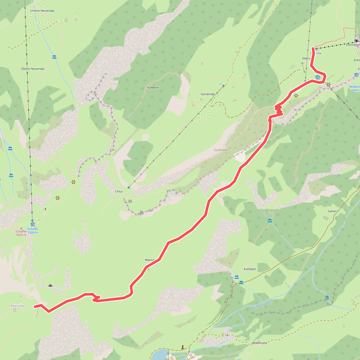
#4. Altenalp - Ebenalp
Schwende-Rüte
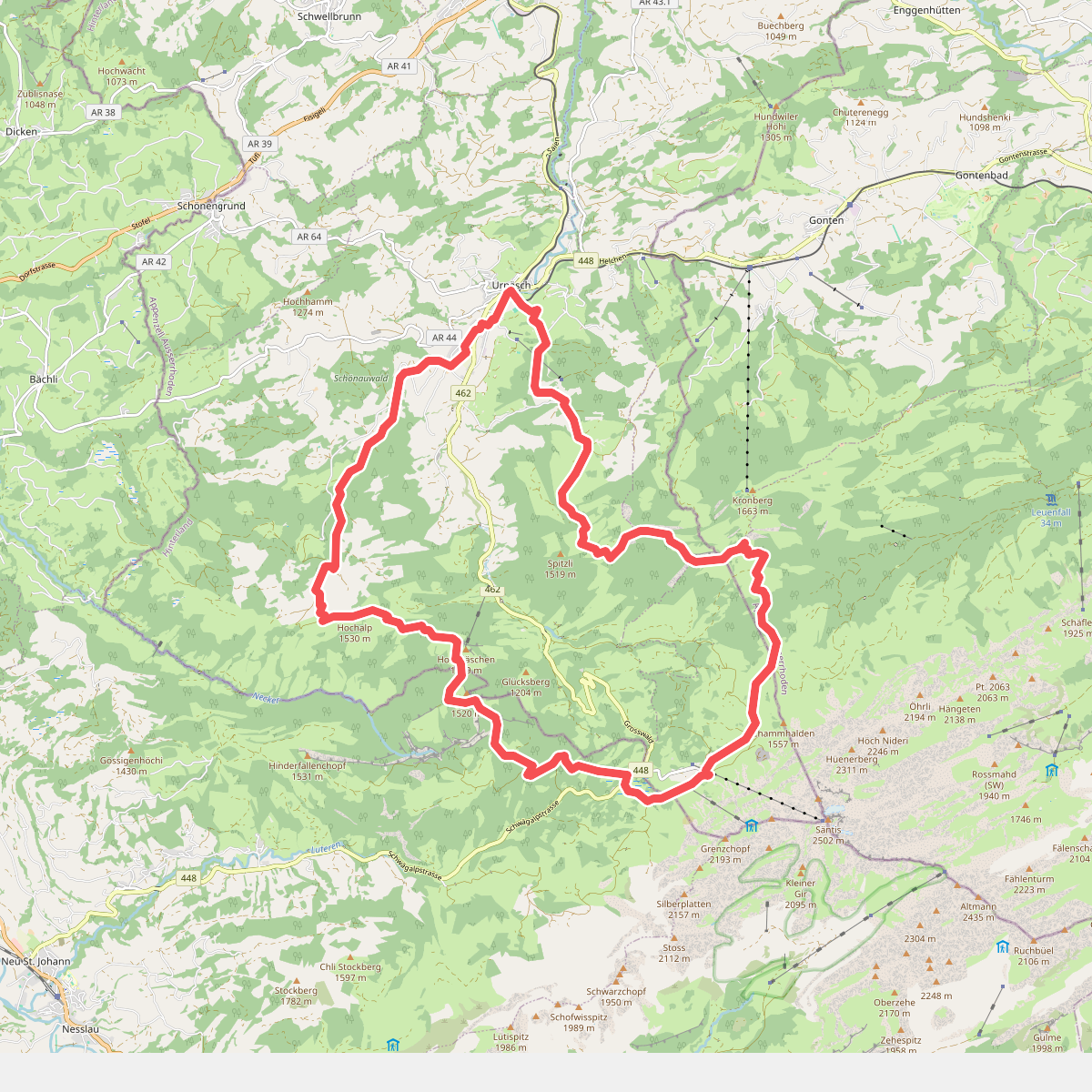
#5. Appenzeller Alpenweg
Urnäsch,Hundwil,Gonten,Schwende-Rüte,Nesslau
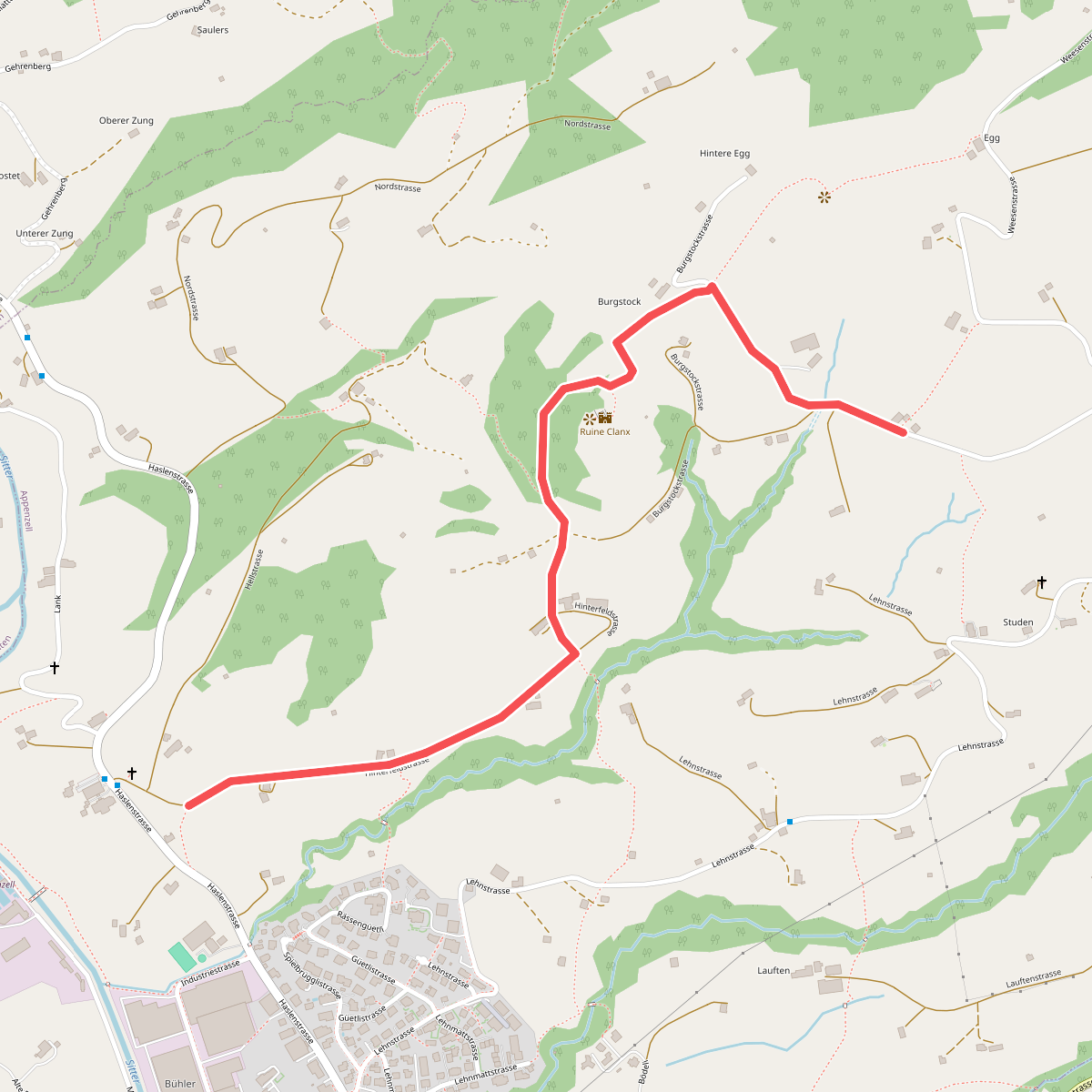
#6. Appenzeller Kapellenweg
Appenzell
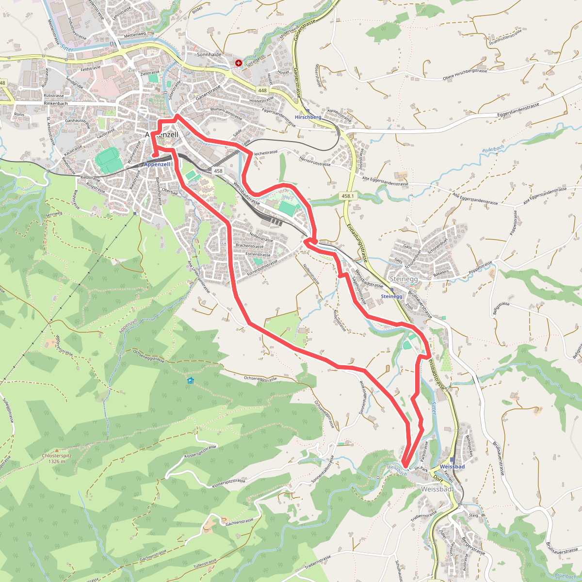
#7. Appenzeller Rundweg
Appenzell,Schwende-Rüte
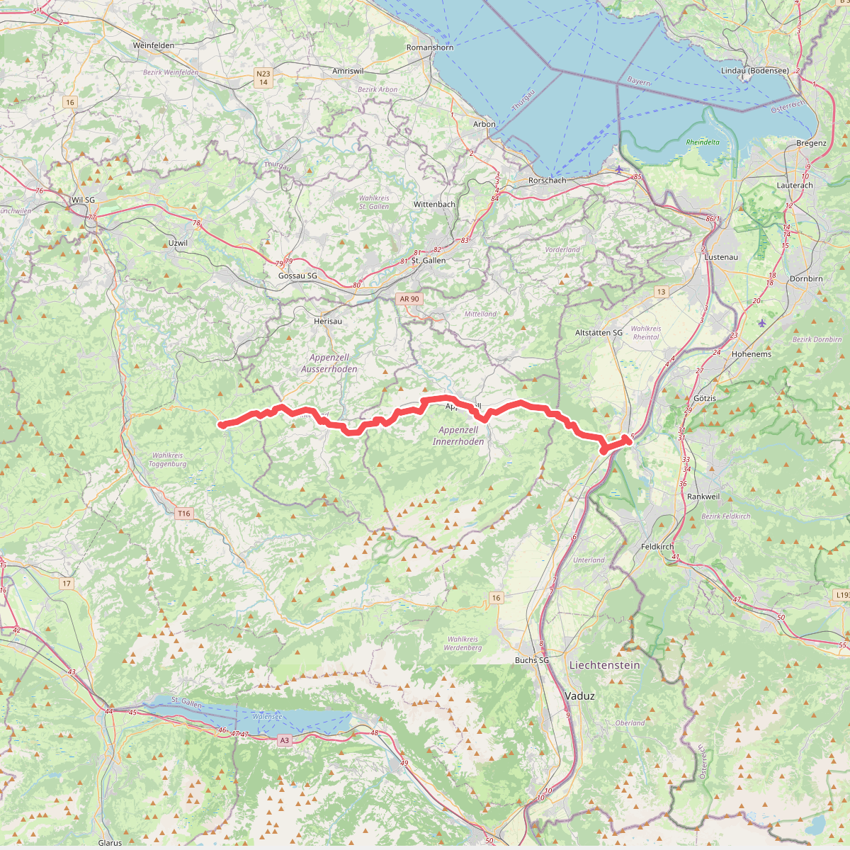
#8. Appenzeller Weg
Meiningen,Oberriet,Rüthi (SG),Schwende-Rüte,Appenzell,Gonten,Hundwil,Urnäsch,Schönengrund,Neckertal
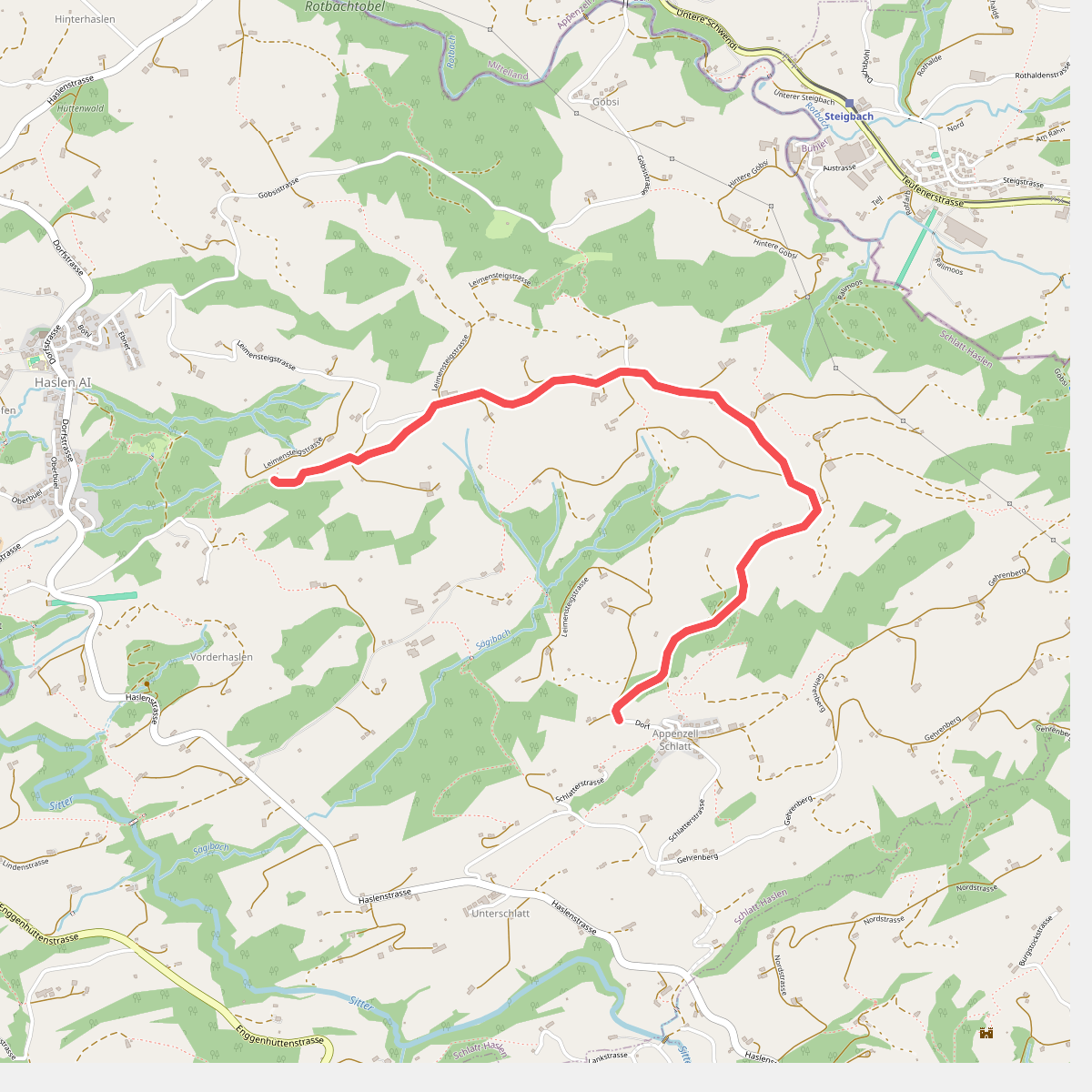
#9. Aussichtsweg "obedöri"
Schlatt-Haslen
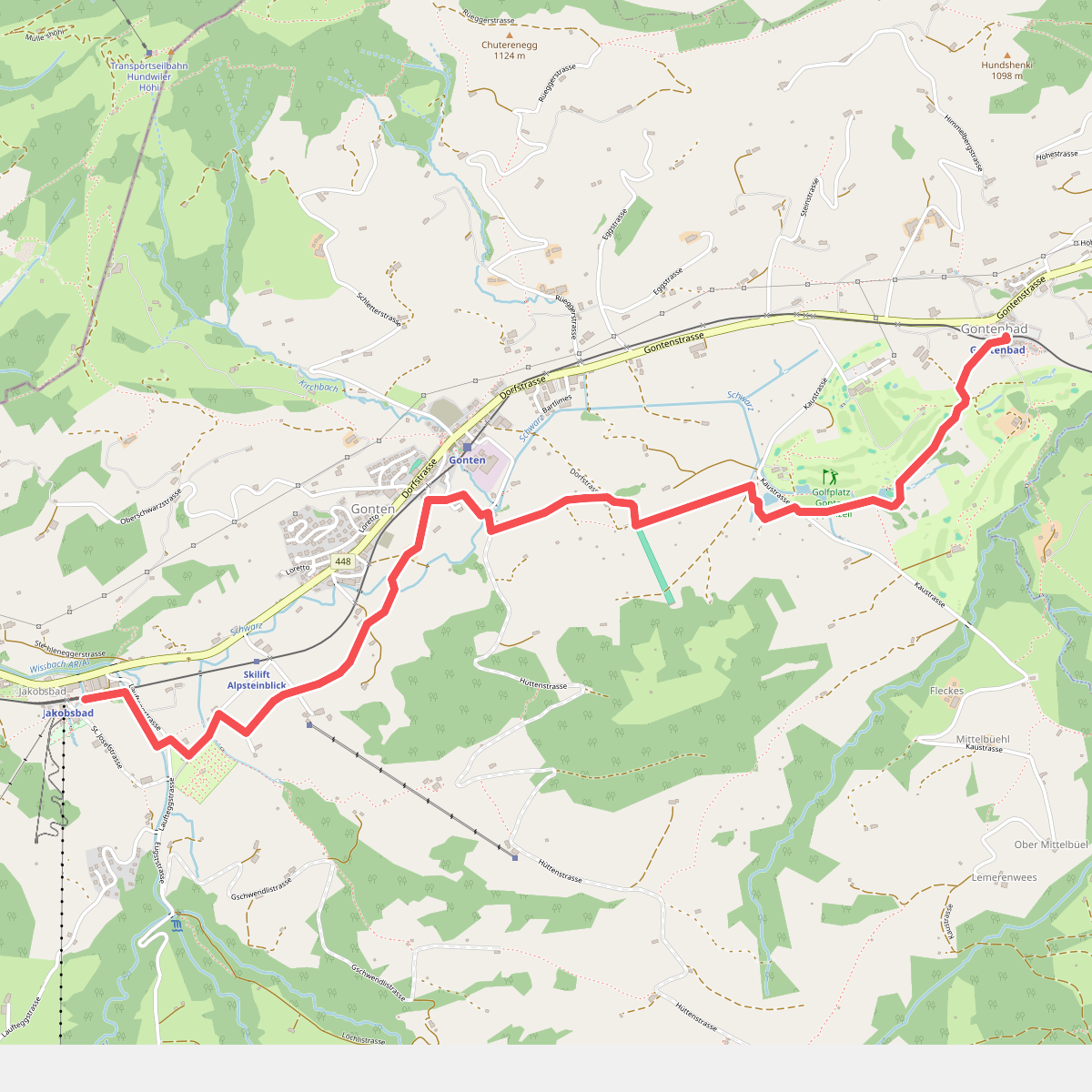
#10. Barfussweg
Gonten
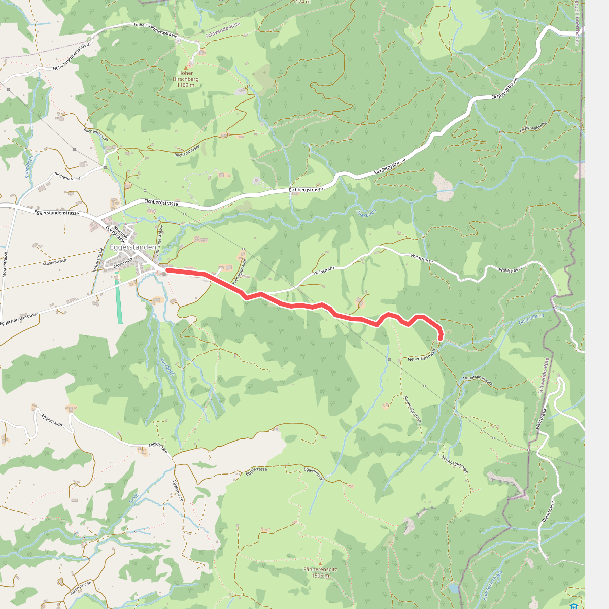
#11. Bildstein - Eggerstanden
Schwende-Rüte
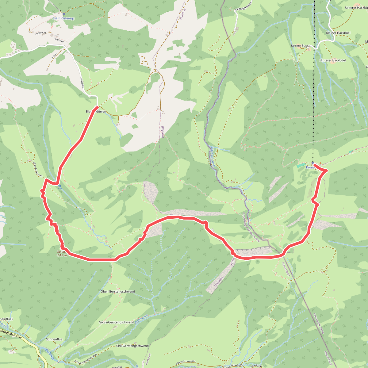
#12. Blattendürren-Kronberg
Urnäsch,Hundwil,Gonten



