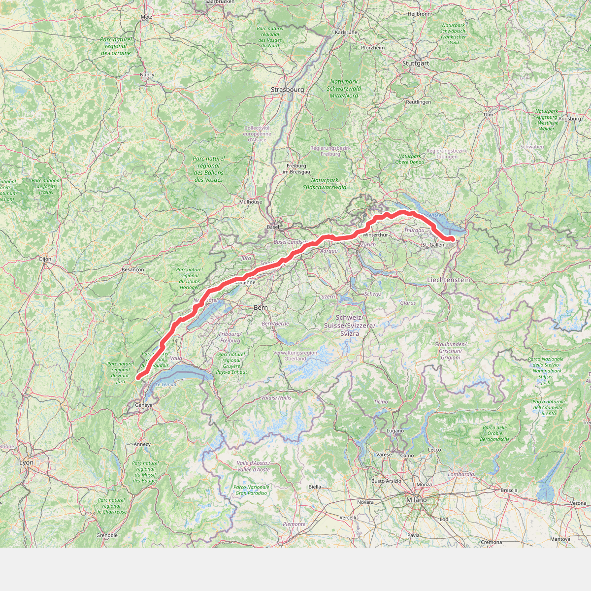
The best hiking routes in Appenzell Ausserrhoden
Discover the best walks in Appenzell Ausserrhoden. 36 routes on the map, with descriptions, photos and GPX.
About Appenzell Ausserrhoden
Appenzell Ausserrhoden is characterized by its hilly, green landscape of rolling pastures, scattered farmhouses, and deep ravines rather than the high, jagged peaks associated with other parts of Switzerland. Walkers will find a dense network of yellow-marked footpaths that cross working agricultural land, where cattle grazing is a constant presence. The terrain is defined by its constant, short ascents and descents, meaning you are rarely walking on flat ground, though you will not encounter high-altitude alpine scree or glaciers.
Read more
About Appenzell Ausserrhoden
Appenzell Ausserrhoden is characterized by its hilly, green landscape of rolling pastures, scattered farmhouses, and deep ravines rather than the high, jagged peaks associated with other parts of Switzerland. Walkers will find a dense network of yellow-marked footpaths that cross working agricultural land, where cattle grazing is a constant presence. The terrain is defined by its constant, short ascents and descents, meaning you are rarely walking on flat ground, though you will not encounter high-altitude alpine scree or glaciers.
Read moreAppenzell Ausserrhoden is characterized by its hilly, green landscape of rolling pastures, scattered farmhouses, and deep ravines rather than the high, jagged peaks associated with other parts of Switzerland. Walkers will find a dense network of yellow-marked footpaths that cross working agricultural land, where cattle grazing is a constant presence. The terrain is defined by its constant, short ascents and descents, meaning you are rarely walking on flat ground, though you will not encounter high-altitude alpine scree or glaciers.
Underfoot, the paths vary between paved agricultural access roads, gravel tracks, and narrow earthen trails that cut directly across grassy meadows. Because much of the region is active farmland, you will frequently pass through self-closing gates and walk directly alongside dairy herds. In the lower-lying areas around Herisau and Teufen, the landscape feels domestic and managed, whereas the southern fringe near the Alpstein range rises into steeper, forested limestone cliffs where the paths become more rugged and require sturdier footing.
In May, the landscape is defined by bright green slopes and blooming dandelions, while October brings clearer visibility across the hills to Lake Constance. The region is well-populated, so you will regularly pass traditional timber houses and small hamlets, meaning a village inn is usually within walking distance. While the prominent viewpoint at Speicher can attract more visitors on weekends, the quieter agricultural paths in the hinterland of Urnäsch offer a more solitary walking experience.
Zoom or pan for more routes
Hiking routes in Appenzell Ausserrhoden (36)
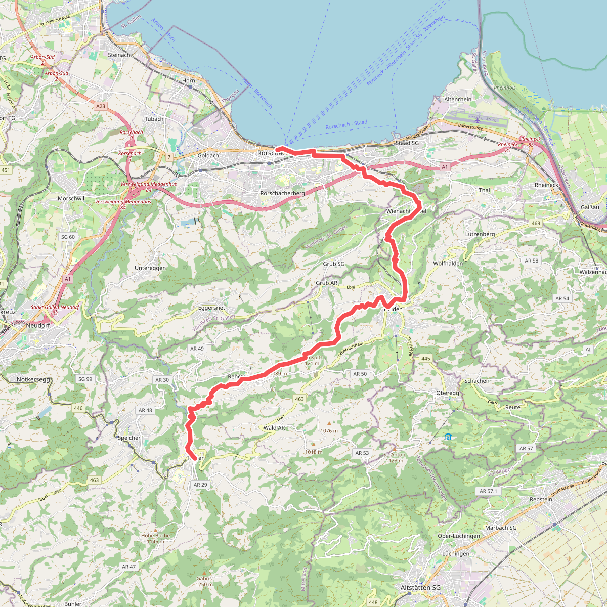
#1. Alpenpanorama-Weg
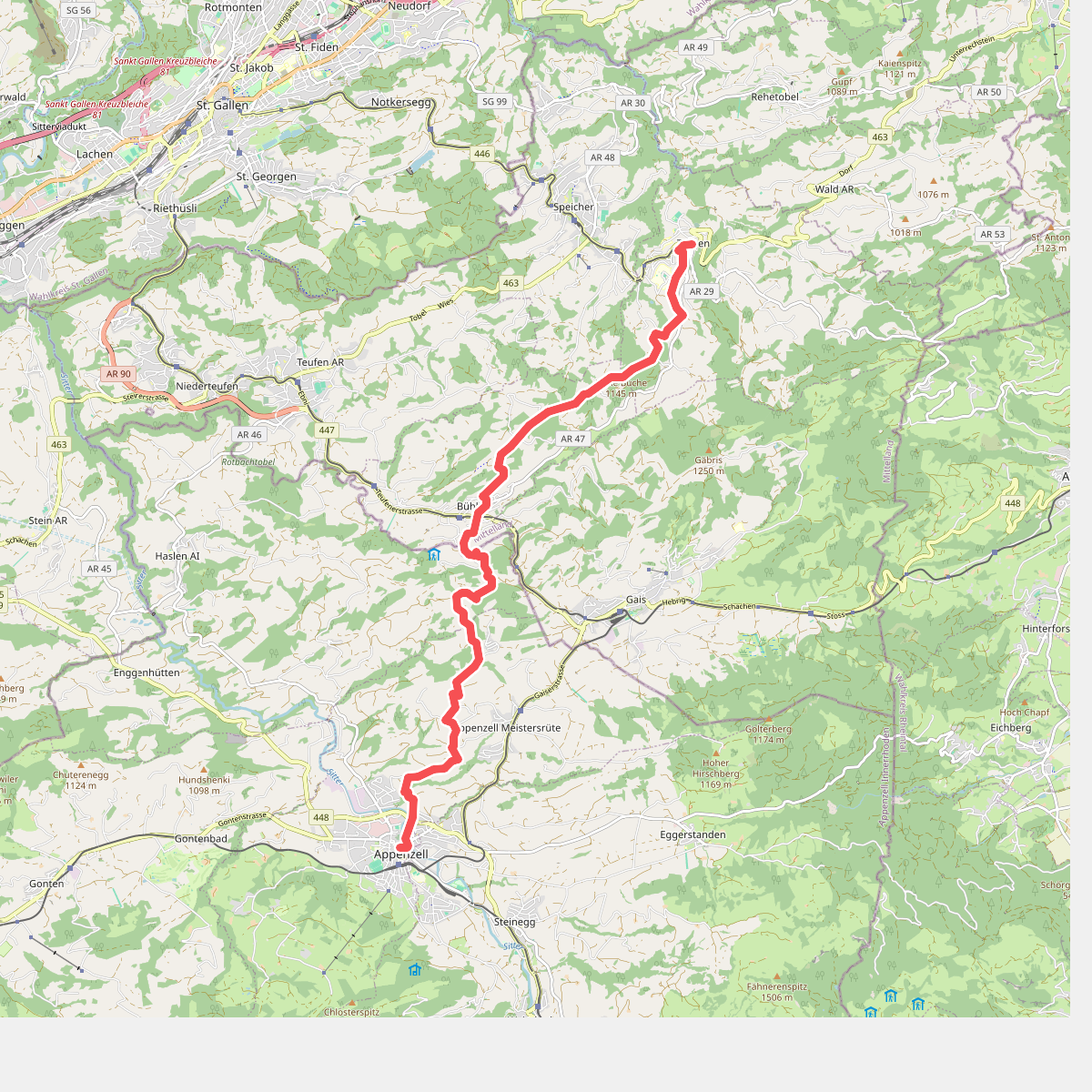
#2. Alpenpanorama-Weg
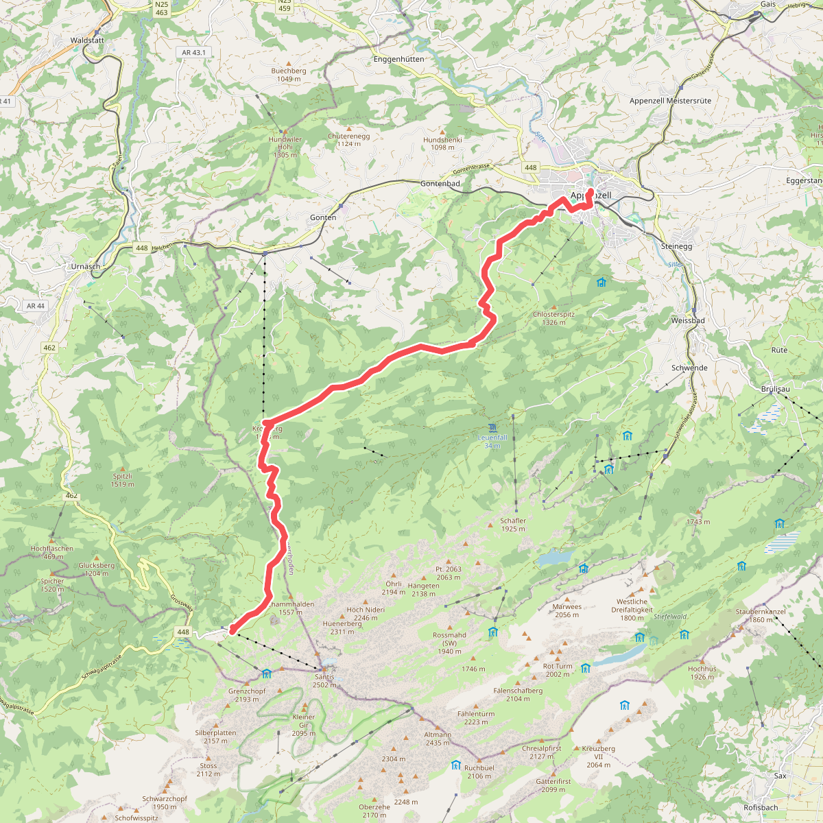
#3. Alpenpanorama-Weg
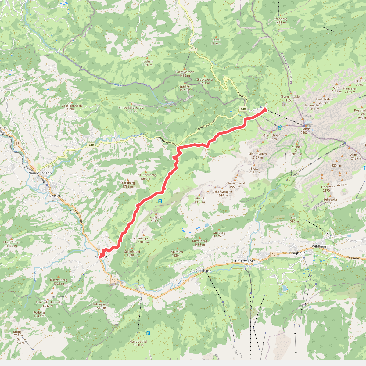
#4. Alpenpanorama-Weg
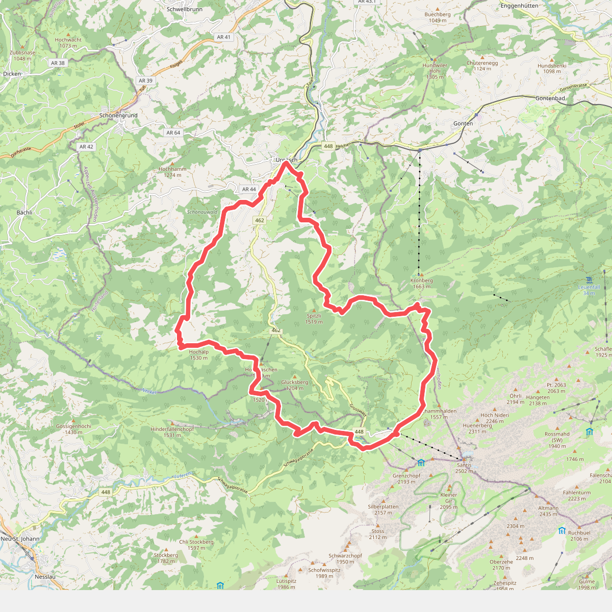
#5. Appenzeller Alpenweg
Urnäsch,Hundwil,Gonten,Schwende-Rüte,Nesslau
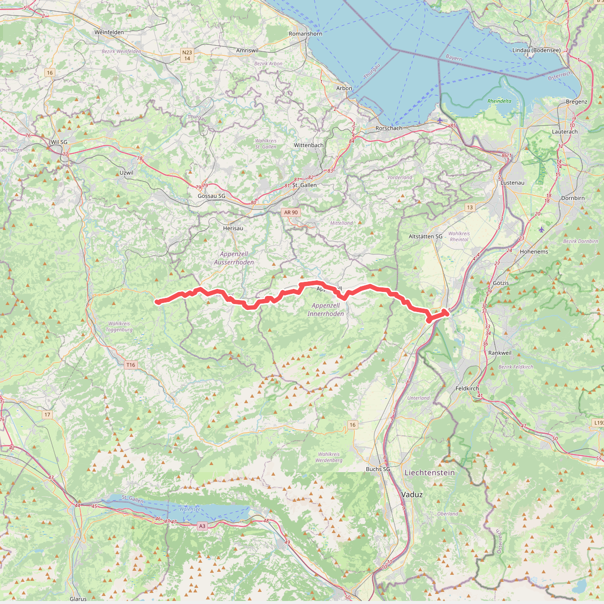
#6. Appenzeller Weg
Meiningen,Oberriet,Rüthi (SG),Schwende-Rüte,Appenzell,Gonten,Hundwil,Urnäsch,Schönengrund,Neckertal
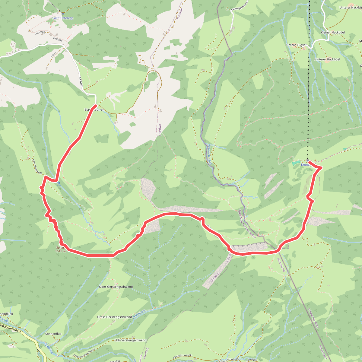
#7. Blattendürren-Kronberg
Urnäsch,Hundwil,Gonten
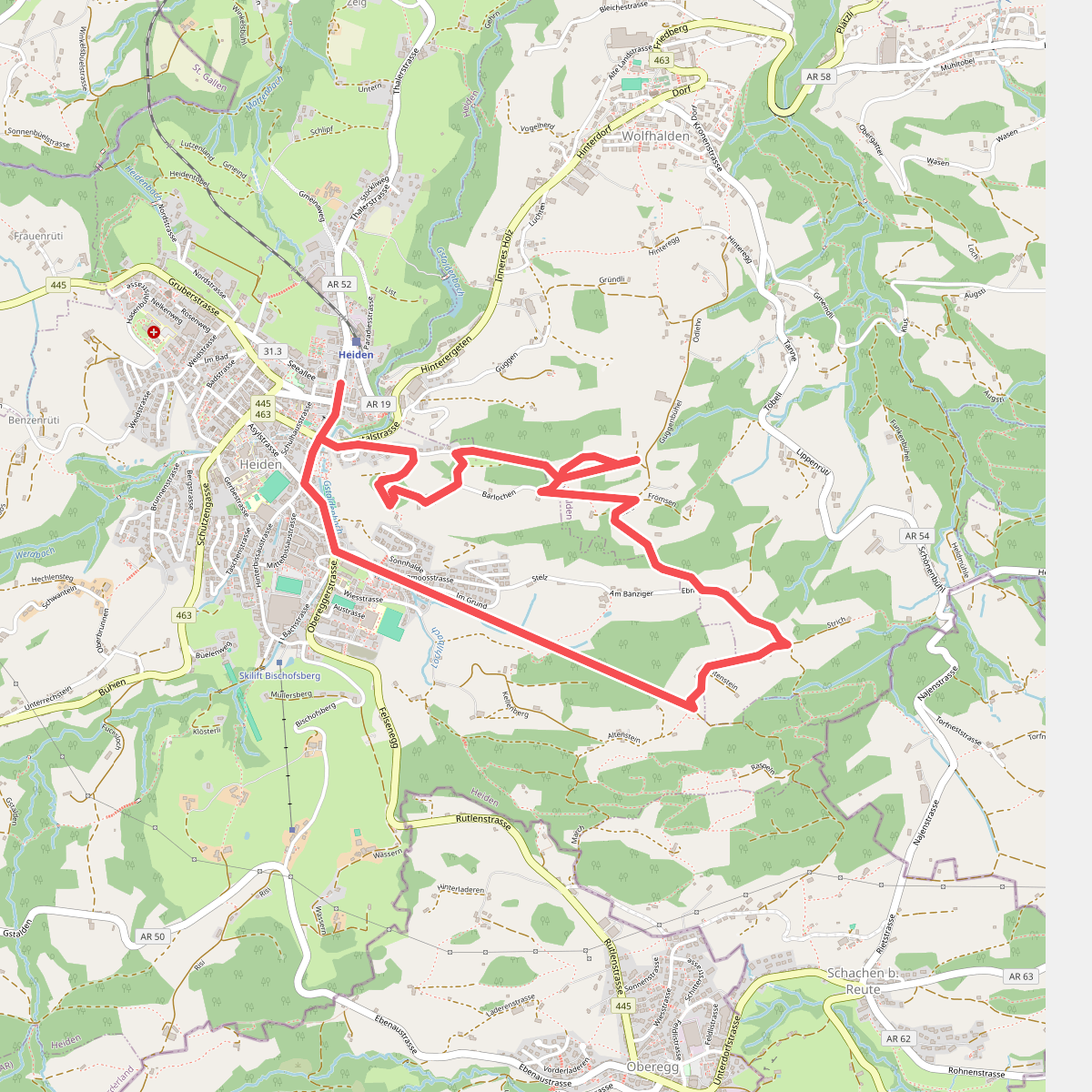
#8. Chindlistei Weg
Heiden,Wolfhalden
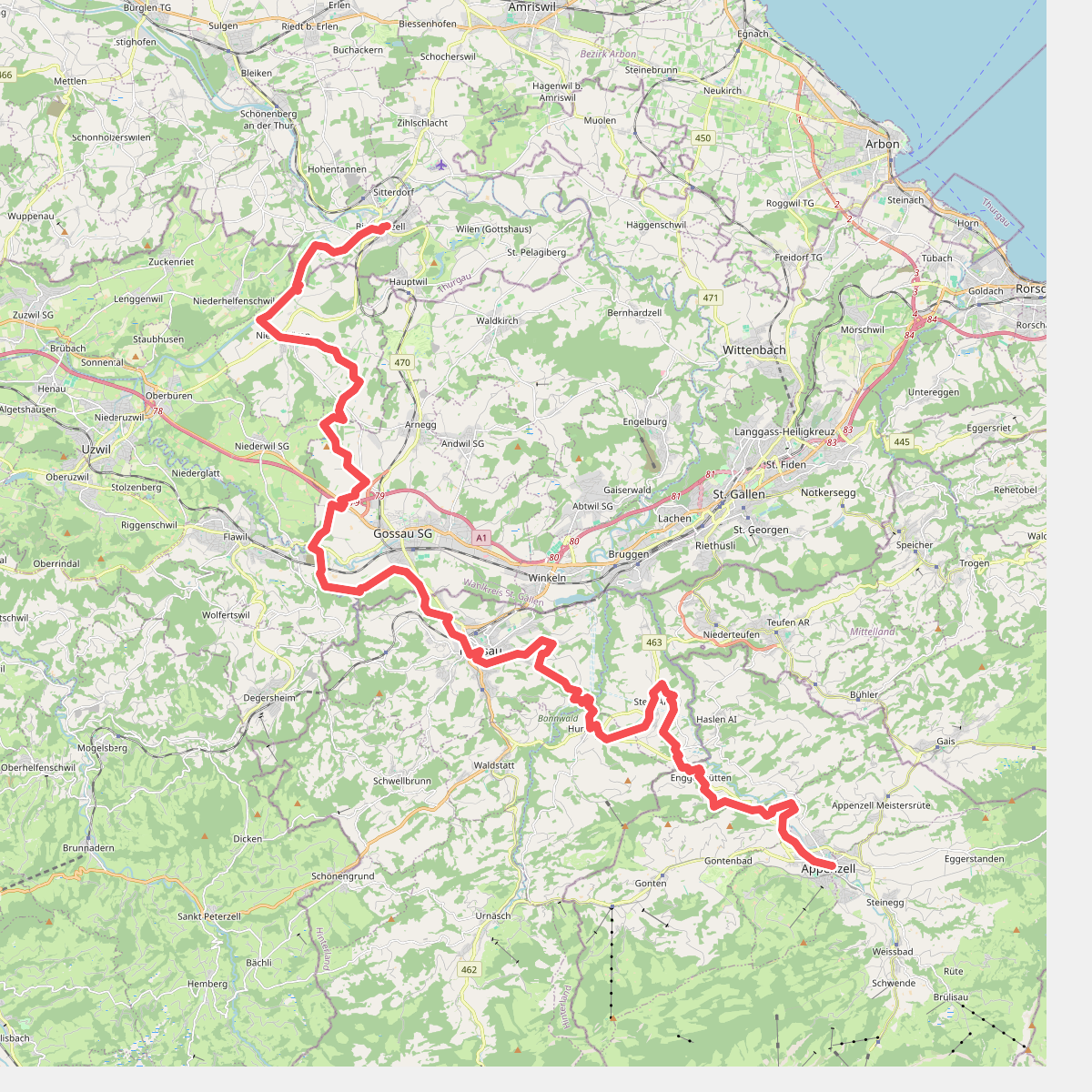
#9. Divisionsweg
Appenzell,Gonten,Schlatt-Haslen,Stein (AR),Hundwil,Herisau,Gossau (SG),Oberbüren,Niederbüren,Bischofszell
![[E4/E5] Europäischer Fernwanderweg Rhein bis Grenze D](https://wandelweb.fsn1.your-objectstorage.com/tracks/static-maps/51078-1779147107-large.png)
#10. [E4/E5] Europäischer Fernwanderweg Rhein bis Grenze D
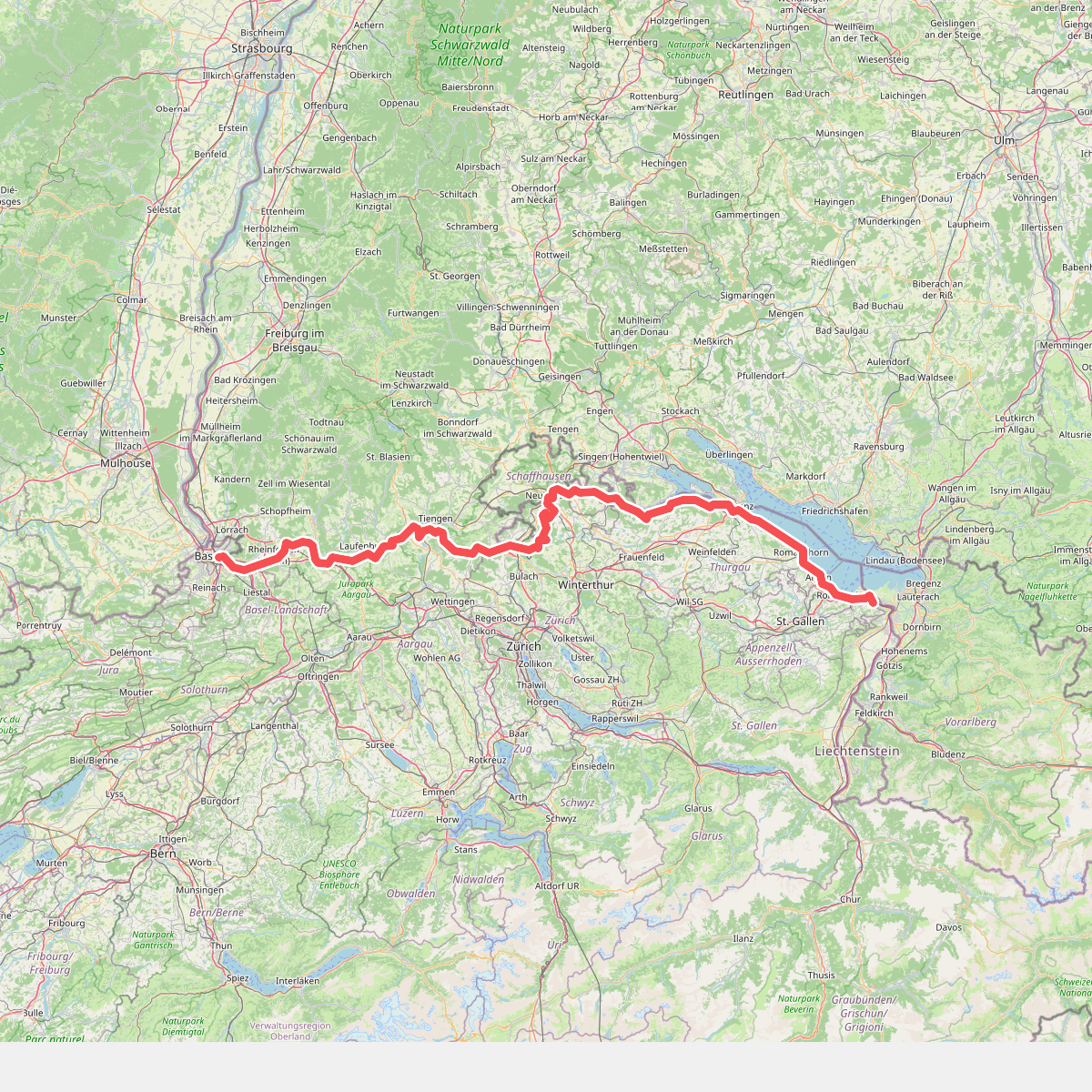
#11. Europäischer Fernwanderweg E5, Schweiz