

6 routes
186 km
De mooiste wandelroutes in en om Hohenstein
Ontdek de mooiste wandelroutes in en rond Hohenstein
Routes per categorie
Alle routes bij Hohenstein (6)
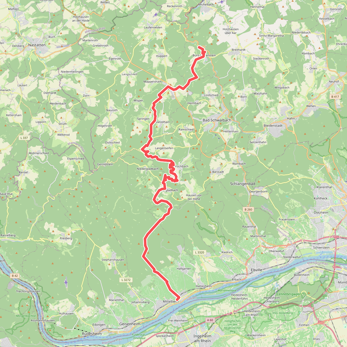
#1. Rotes Dreieck Oestrich-Winkel nach Hohenstein Burg
37,6 km
8:15
2116 m
1935 m
Oestrich-Winkel,Eltville am Rhein,Schlangenbad,Bad Schwalbach,Hohenstein
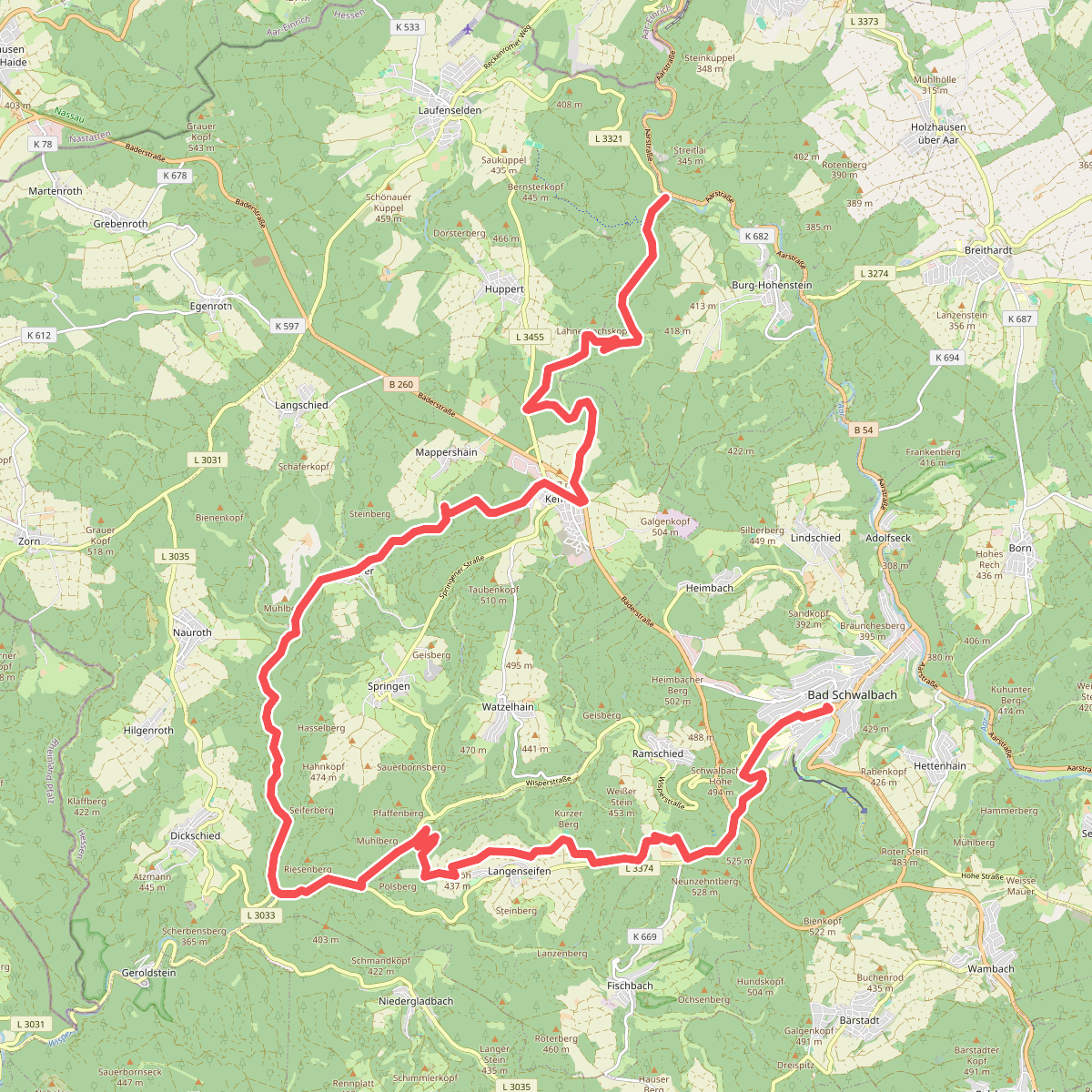
#2. Rhein-Taunus-Klub Gelber Balken
28,9 km
6:00
1440 m
1506 m
Bad Schwalbach,Hohenstein
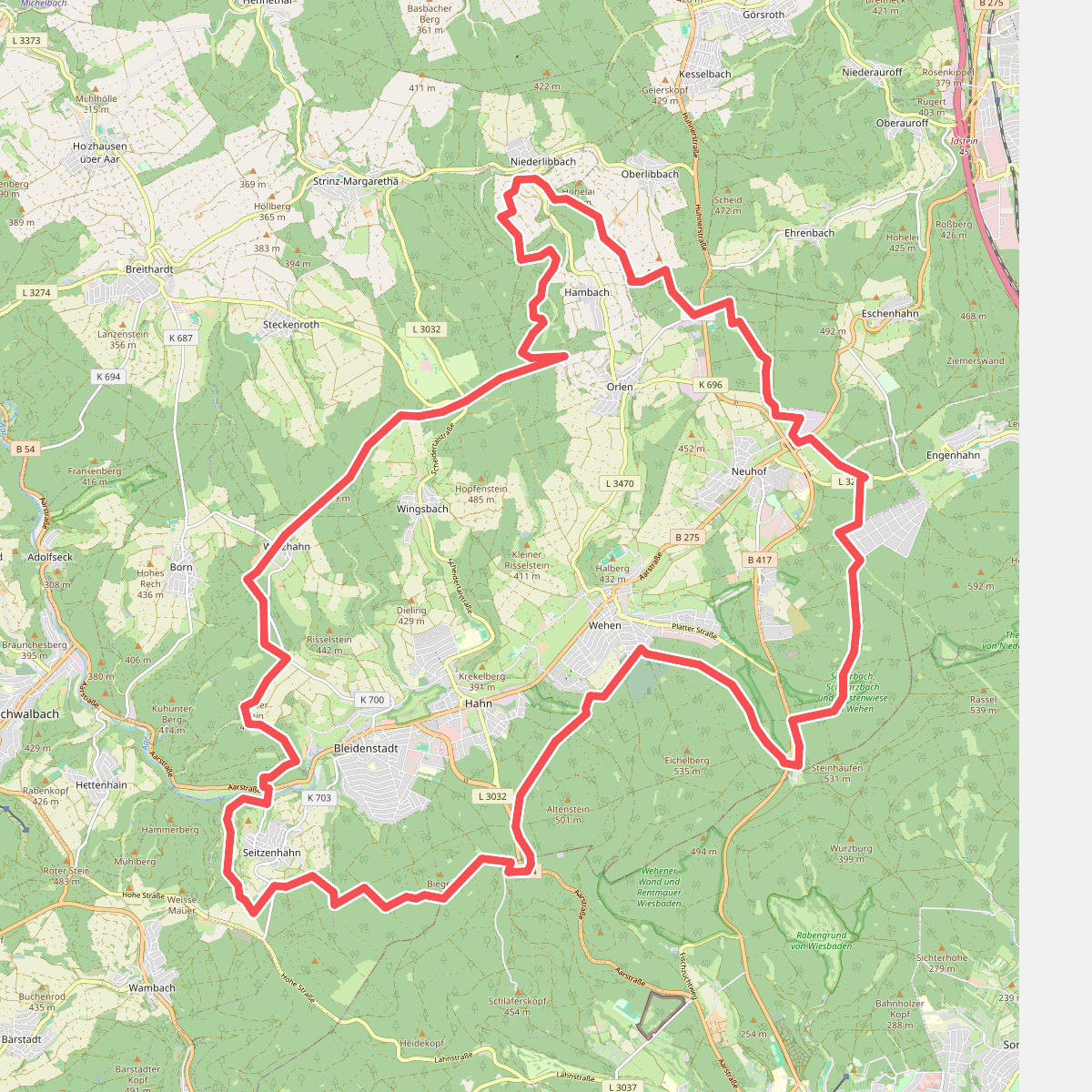
#3. Taunussteiner Runde
40,1 km
8:21
1619 m
1619 m
Taunusstein,Hohenstein,Hünstetten,Niedernhausen,Wiesbaden
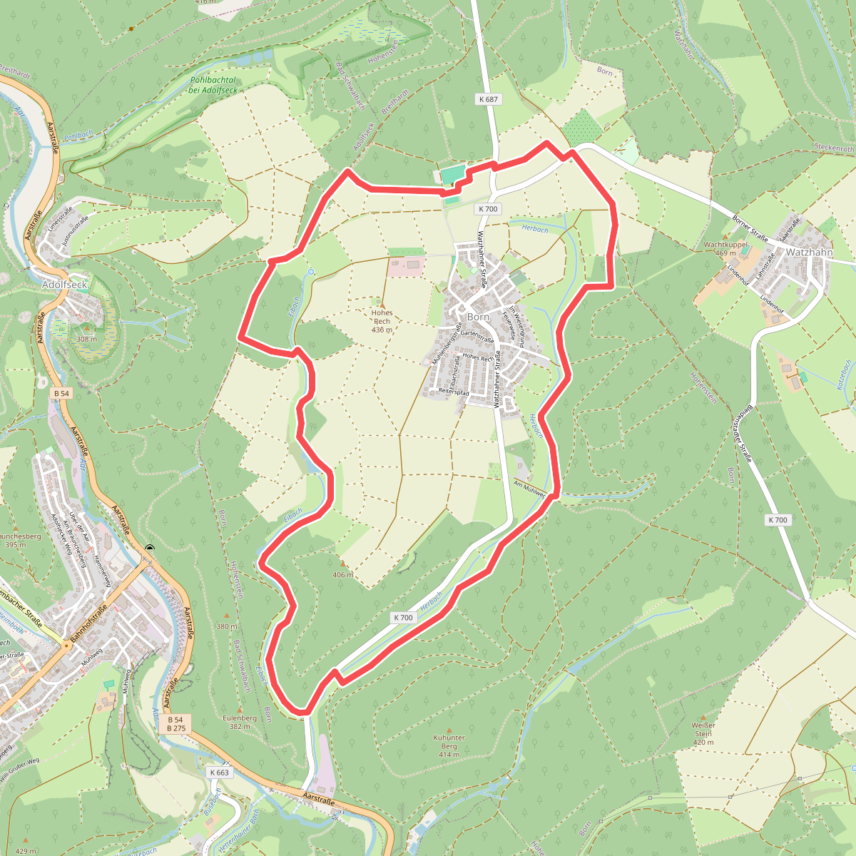
#4. Borner Runde
7,6 km
1:34
304 m
304 m
Hohenstein,Bad Schwalbach
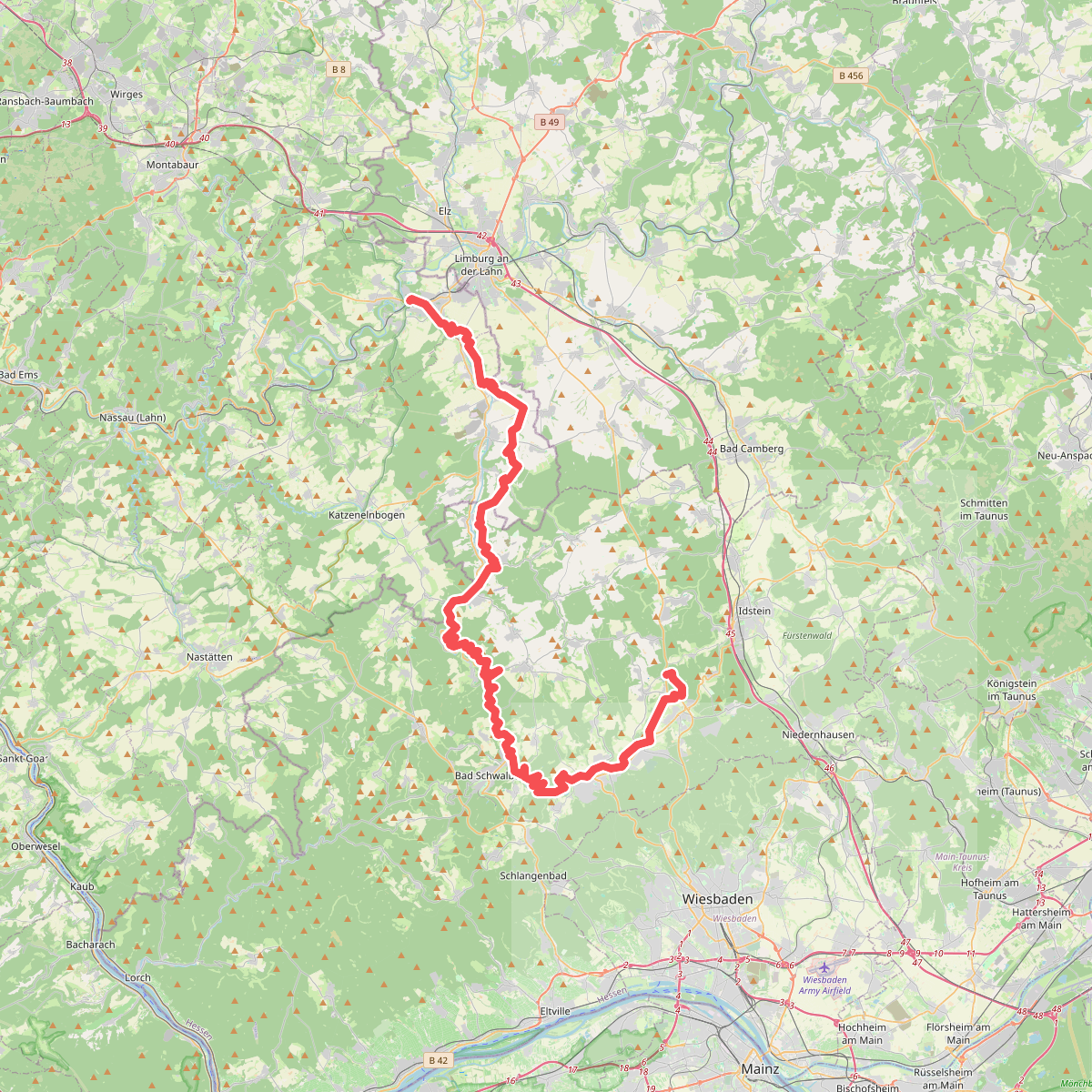
#5. Aar-Höhenweg
65,7 km
Taunusstein,Hohenstein,Bad Schwalbach,Burgschwalbach,Hahnstätten,Netzbach,Oberneisen,Niederneisen,Holzheim,Diez
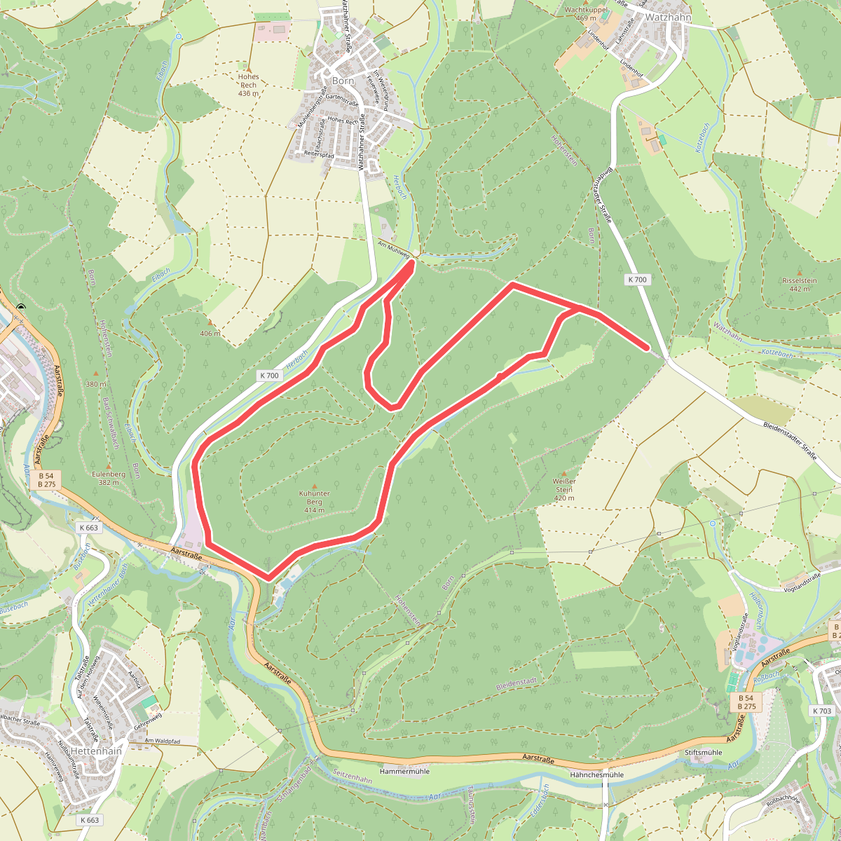
#6. Rundwanderweg Forelle
6,4 km
1:19
270 m
270 m
Hohenstein


Bekijk deze routes in de WandelWeb app!
Download de app voor kaarten, GPS navigatie en meer informatie over alle routes bij Hohenstein. Nooit meer de weg kwijt!


