The best hiking routes in Zona de Especial Protección para las Aves Sierra de Moratalla
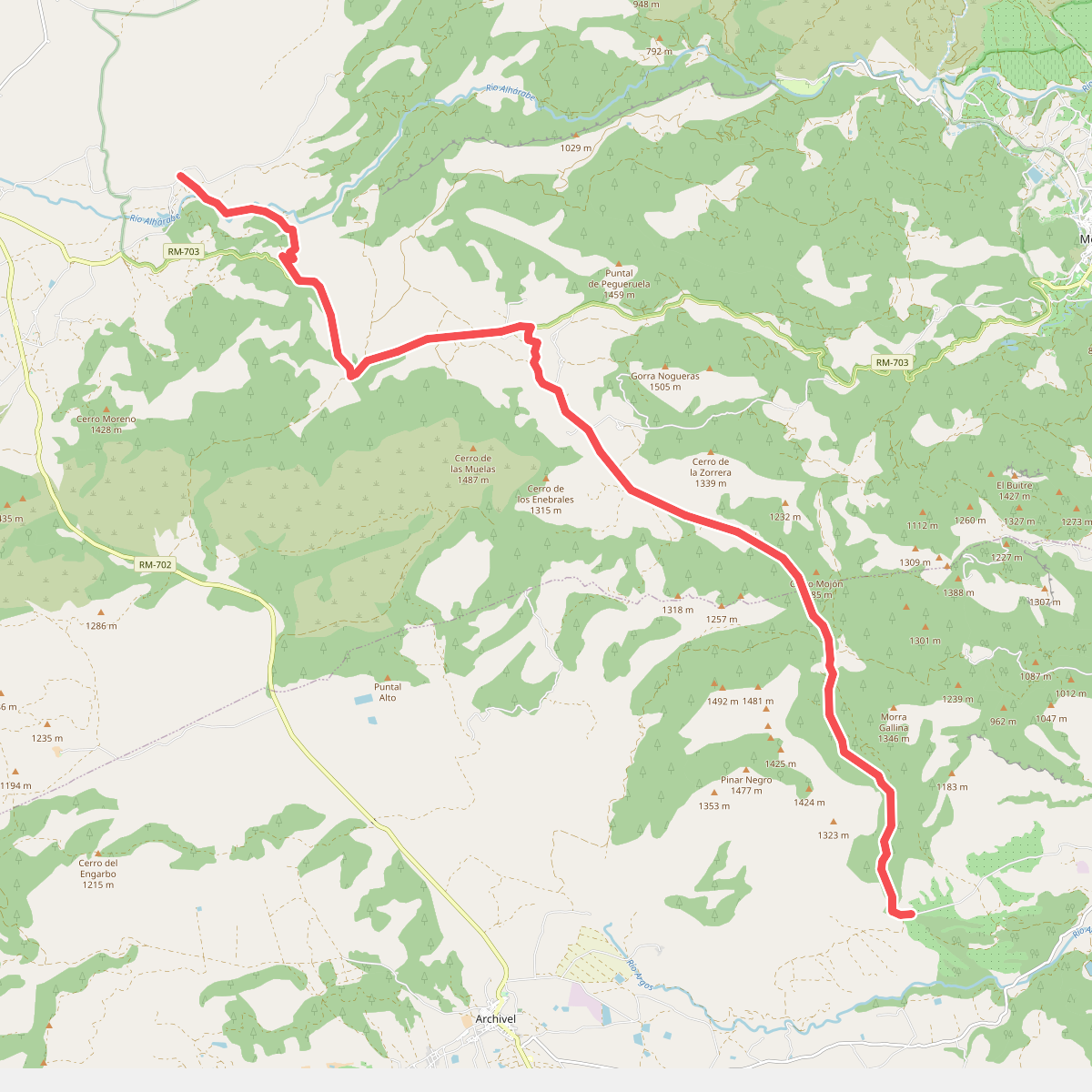
Discover the best walks in Zona de Especial Protección para las Aves Sierra de Moratalla. 1 routes on the map, with descriptions, photos and GPX.
Managed by Comunidad Autónoma de la Región de Murcia
About Zona de Especial Protección para las Aves Sierra de Moratalla
The Zona de Especial Protección para las Aves Sierra de Moratalla offers a rugged, Mediterranean mountain landscape dominated by limestone crags, pine forests, and deep ravines. Unlike the flatter agricultural plains nearby, this protected area is defined by its steep, rocky terrain and dense scrubwood. Walkers will notice a stark contrast between the dry, sun-exposed southern slopes covered in rosemary and gorse, and the shadier northern faces where relic stands of oak and pine survive.
Read more
About Zona de Especial Protección para las Aves Sierra de Moratalla
The Zona de Especial Protección para las Aves Sierra de Moratalla offers a rugged, Mediterranean mountain landscape dominated by limestone crags, pine forests, and deep ravines. Unlike the flatter agricultural plains nearby, this protected area is defined by its steep, rocky terrain and dense scrubwood. Walkers will notice a stark contrast between the dry, sun-exposed southern slopes covered in rosemary and gorse, and the shadier northern faces where relic stands of oak and pine survive.
Read moreThe Zona de Especial Protección para las Aves Sierra de Moratalla offers a rugged, Mediterranean mountain landscape dominated by limestone crags, pine forests, and deep ravines. Unlike the flatter agricultural plains nearby, this protected area is defined by its steep, rocky terrain and dense scrubwood. Walkers will notice a stark contrast between the dry, sun-exposed southern slopes covered in rosemary and gorse, and the shadier northern faces where relic stands of oak and pine survive.
Underfoot, the paths are predominantly stony, loose, and uneven, requiring careful stepping on steep ascents. You will not find paved promenades or extensive boardwalks here; instead, the routes follow ancient forestry tracks and rough firebreaks. The landscape bears visible scars from historical forest fires, meaning some sections open up into stark, exposed shrubland with charred stumps, while other valleys remain densely wooded and enclosed.
This area is particularly suited for those seeking a quiet, demanding walk rather than a gentle stroll. There are no high alpine peaks or permanent glaciers, but the sharp limestone ridges provide a challenging, vertical terrain. In late spring, around May, the flowering scrub brings color to the grey rock, while the higher elevations offer a cooler, shaded alternative to the hot valleys below.