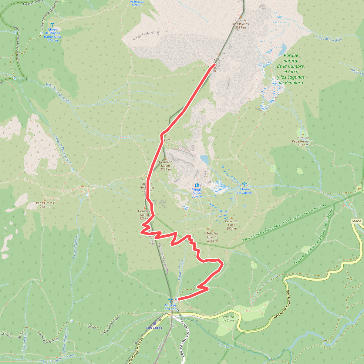
The best hiking routes in ZEPA Alto Lozoya
Discover the best walks in ZEPA Alto Lozoya. 20 routes on the map, with descriptions, photos and GPX.
About ZEPA Alto Lozoya
ZEPA Alto Lozoya covers a high-altitude mountain valley in the Sierra de Guadarrama, defined by the upper basin of the Lozoya River. Unlike the rugged granite peaks that border the area, the valley floor consists of a mosaic of Scots pine forests, oak groves, and damp mountain pastures. Walkers will find a landscape shaped by traditional cattle grazing and forestry, where stone walls divide the meadows and clear mountain streams cut through the woodland. The terrain is characterized by its elevation, meaning the vegetation transitions rapidly from dense canopy to open, shrubby broom fields as you climb.
Read more
About ZEPA Alto Lozoya
ZEPA Alto Lozoya covers a high-altitude mountain valley in the Sierra de Guadarrama, defined by the upper basin of the Lozoya River. Unlike the rugged granite peaks that border the area, the valley floor consists of a mosaic of Scots pine forests, oak groves, and damp mountain pastures. Walkers will find a landscape shaped by traditional cattle grazing and forestry, where stone walls divide the meadows and clear mountain streams cut through the woodland. The terrain is characterized by its elevation, meaning the vegetation transitions rapidly from dense canopy to open, shrubby broom fields as you climb.
Read moreZEPA Alto Lozoya covers a high-altitude mountain valley in the Sierra de Guadarrama, defined by the upper basin of the Lozoya River. Unlike the rugged granite peaks that border the area, the valley floor consists of a mosaic of Scots pine forests, oak groves, and damp mountain pastures. Walkers will find a landscape shaped by traditional cattle grazing and forestry, where stone walls divide the meadows and clear mountain streams cut through the woodland. The terrain is characterized by its elevation, meaning the vegetation transitions rapidly from dense canopy to open, shrubby broom fields as you climb.
Underfoot, the paths vary from wide, gravel forestry tracks to narrow, dirt trails strewn with loose granite stones and tree roots. The lower valley paths are generally wide and stable, while the routes ascending the slopes require more careful stepping over uneven rocky ground. Wet meadows and peat bogs occur near the riverbanks, where the ground can be soft and damp underfoot, particularly in the spring months of April and May when the snowmelt feeds the streams.
This area is not a place for jagged, high-alpine scrambling, but rather for long, steady climbs through deep forest and open valley pastures. The lower, more accessible paths near the reservoirs can be busier with weekend visitors, while the higher pine forests offer a quieter, more solitary walking experience. Choosing a route here means deciding between the sheltered, shaded forest tracks of the valley sides or the exposed, wind-swept paths that lead toward the mountain passes.
Hiking routes in ZEPA Alto Lozoya (20)
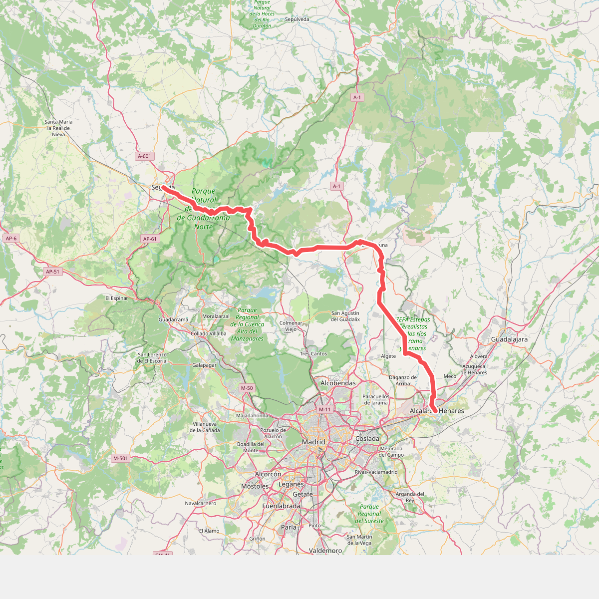
#1. Camino de Santiago Complutense
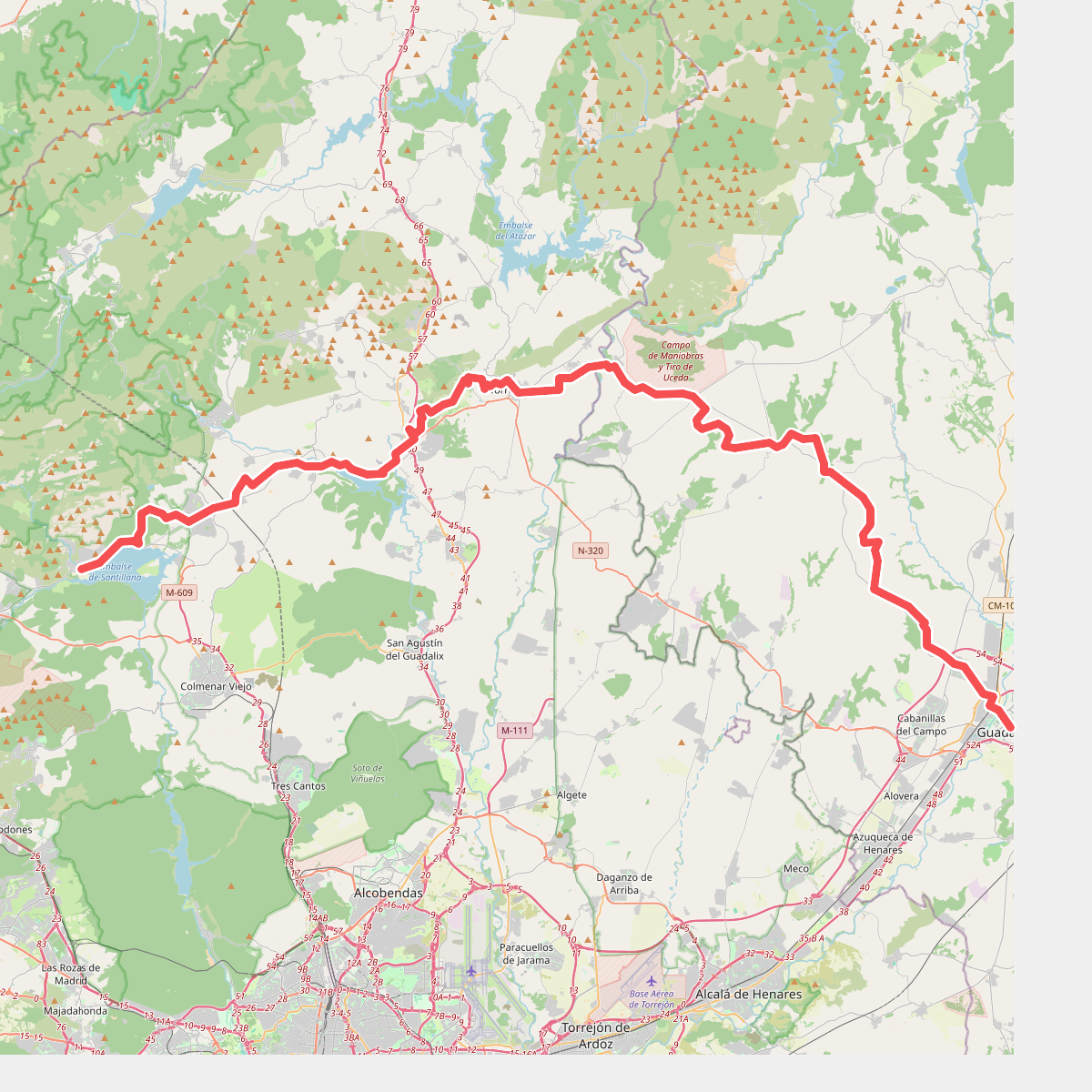
#2. Camino Mendocino
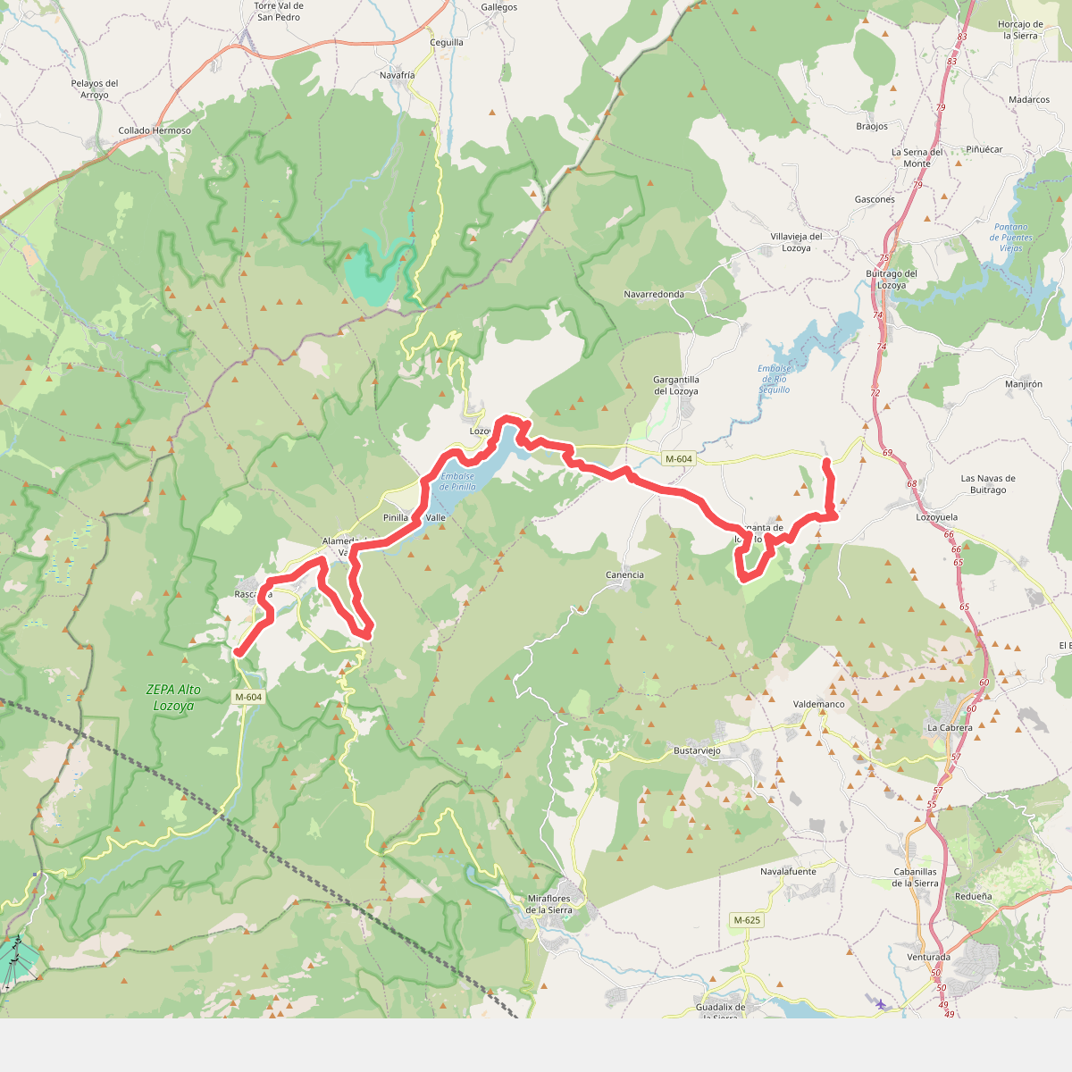
#3. Camino Natural del Valle del Lozoya
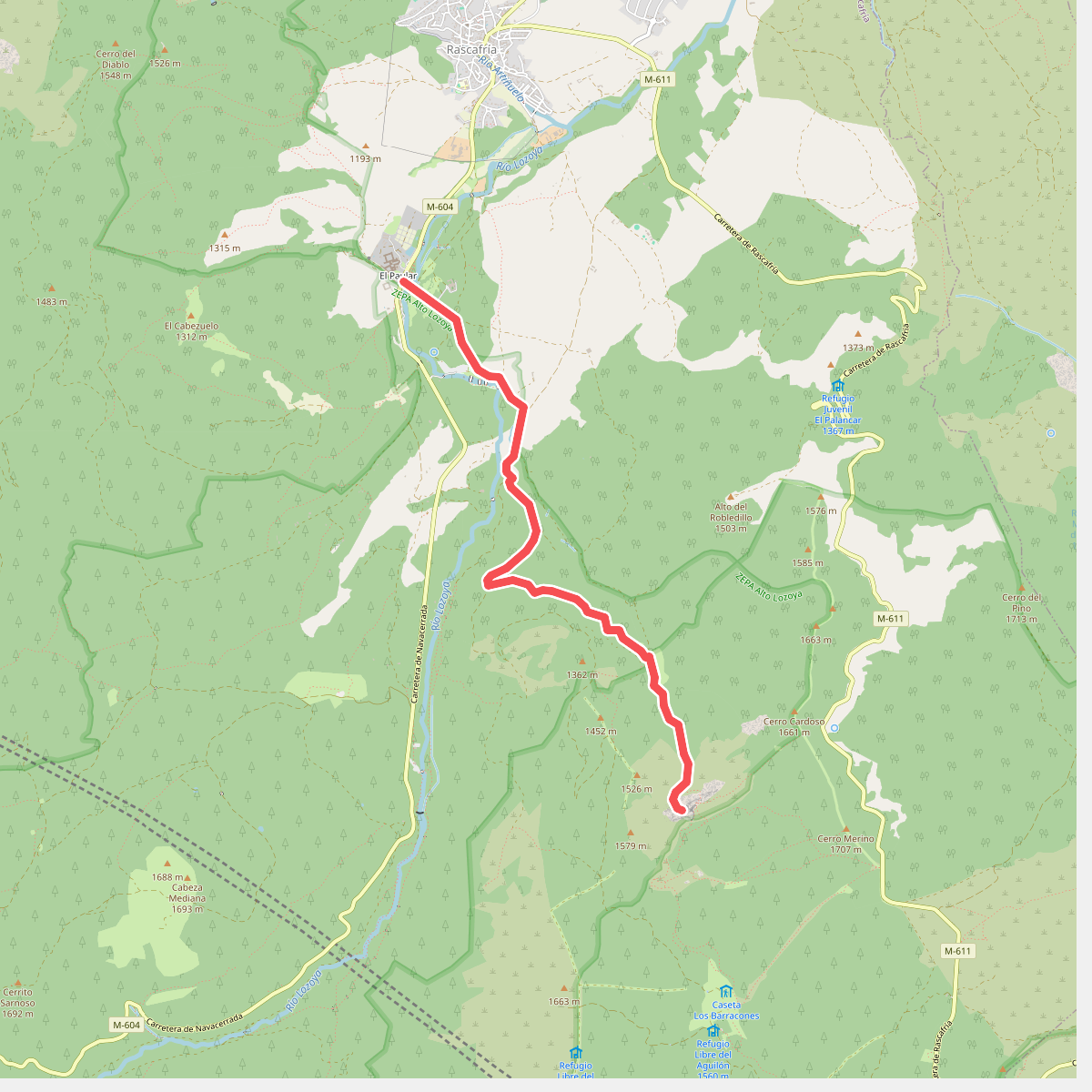
#4. Cascadas del Purgatorio
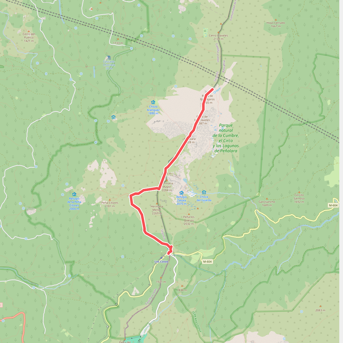
#5. Circuito Peñalara
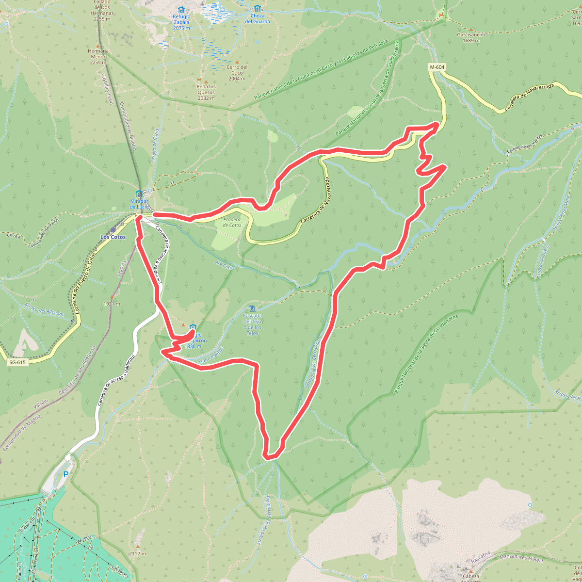
#6. Circular Pingarrón - Camino las Vueltas
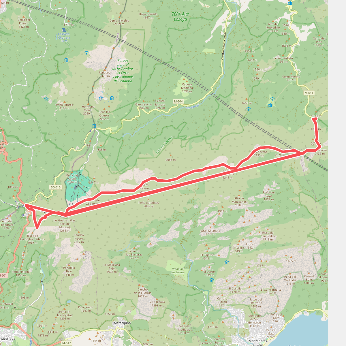
#7. Cuerda Larga
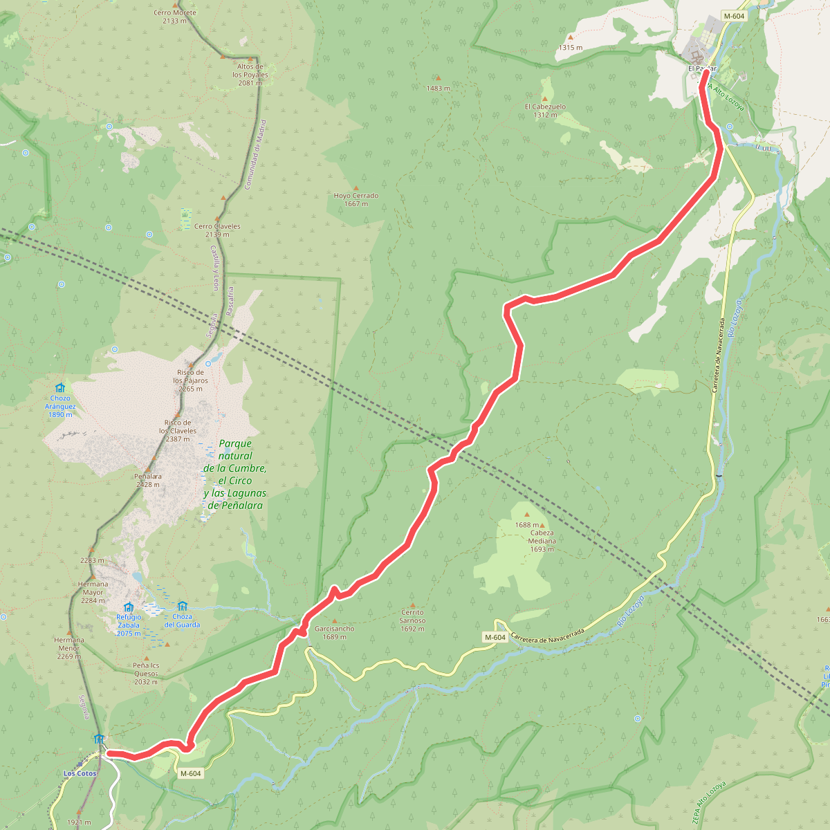
#8. De Cotos a El Paular
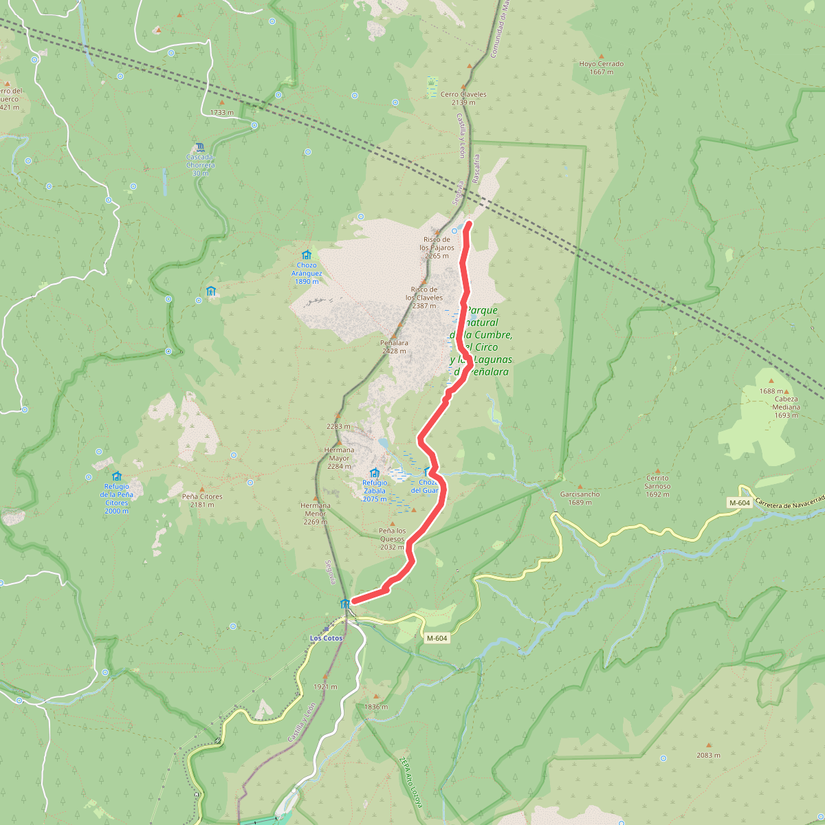
#9. Laguna de los Pájaros
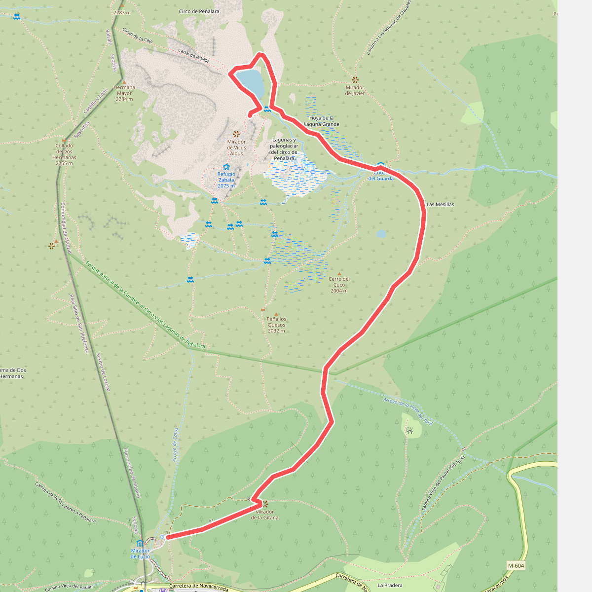
#10. Laguna de Peñalara
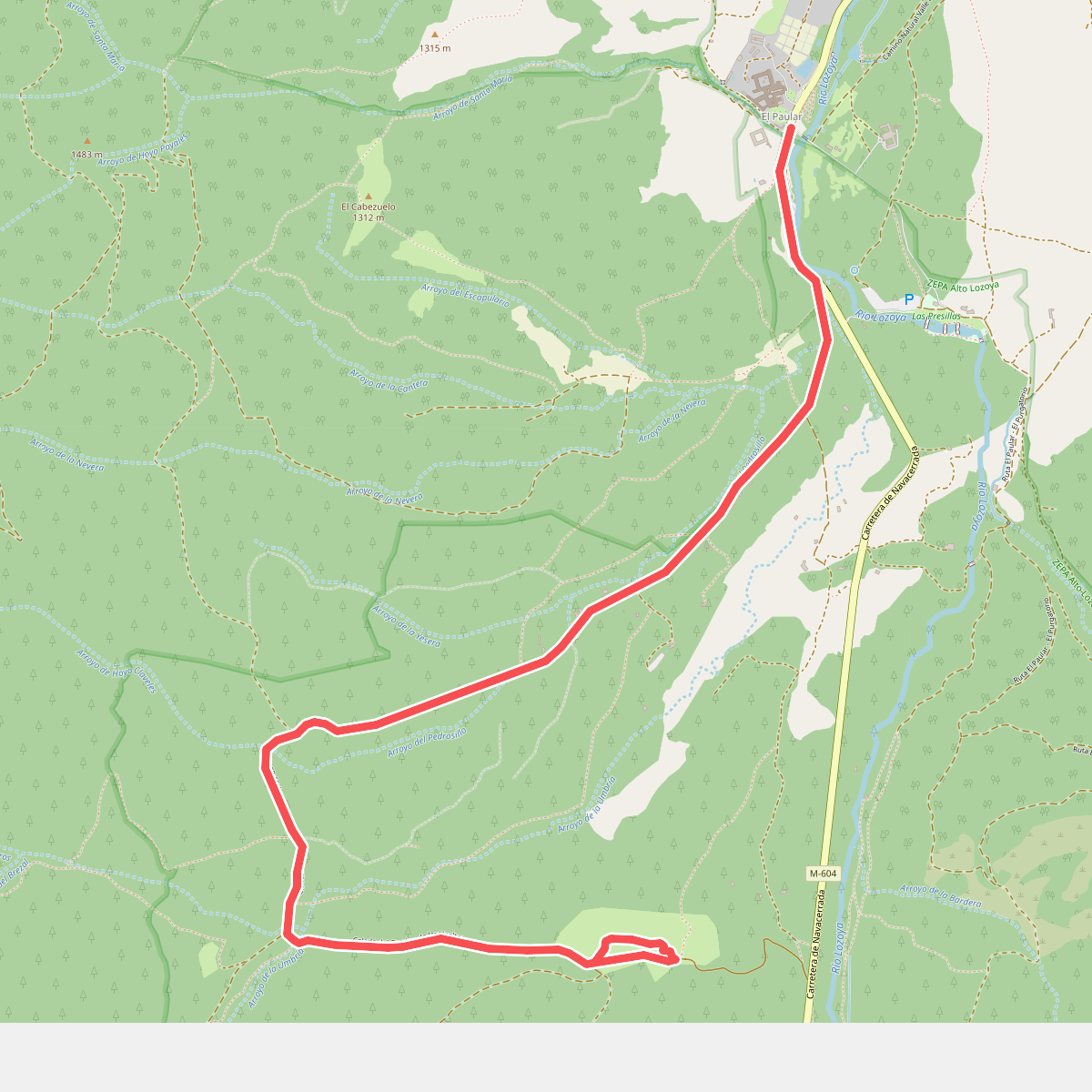
#11. Mirador de los Robledos