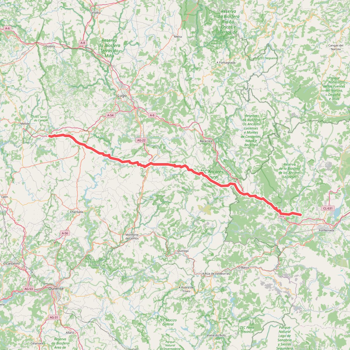
The best hiking routes in ZEC Río Cabe
Discover the best walks in ZEC Río Cabe. 1 routes on the map, with descriptions, photos and GPX.
Managed by Xunta de Galicia
About ZEC Río Cabe
The ZEC Río Cabe protects a narrow, riparian corridor in southern Galicia, characterized by a dense canopy of alders, willows, and ash trees that closely hug the riverbanks. Unlike the open, dry agricultural plains of the surrounding Monforte valley, walking here keeps you within a shaded, humid microclimate. The terrain is defined by the immediate presence of the water, where the riverbed alternates between slow-flowing pools and shallow, rocky runs over granite and slate bedrock.
Read more
About ZEC Río Cabe
The ZEC Río Cabe protects a narrow, riparian corridor in southern Galicia, characterized by a dense canopy of alders, willows, and ash trees that closely hug the riverbanks. Unlike the open, dry agricultural plains of the surrounding Monforte valley, walking here keeps you within a shaded, humid microclimate. The terrain is defined by the immediate presence of the water, where the riverbed alternates between slow-flowing pools and shallow, rocky runs over granite and slate bedrock.
Read moreThe ZEC Río Cabe protects a narrow, riparian corridor in southern Galicia, characterized by a dense canopy of alders, willows, and ash trees that closely hug the riverbanks. Unlike the open, dry agricultural plains of the surrounding Monforte valley, walking here keeps you within a shaded, humid microclimate. The terrain is defined by the immediate presence of the water, where the riverbed alternates between slow-flowing pools and shallow, rocky runs over granite and slate bedrock.
Underfoot, walkers will find a mix of soft earth paths, sections of exposed tree roots, and occasional stone-paved tracks near old watermills. The landscape is shaped by historical water management, visible in the stone channels and small weirs that divert the current. It is a low-lying, sheltered river valley rather than a dramatic gorge, offering gentle gradients where the main challenge is navigating muddy patches near the water's edge rather than climbing steep slopes.
In May, the riverside vegetation is particularly dense, with ferns and aquatic plants crowding the banks before the summer canopy fully closes. While the main paths near Monforte de Lemos see regular local foot traffic, the trails further upstream and downstream offer a quieter, more enclosed woodland experience focused entirely on the movement of the river.