The best hiking routes in Valle Thuras
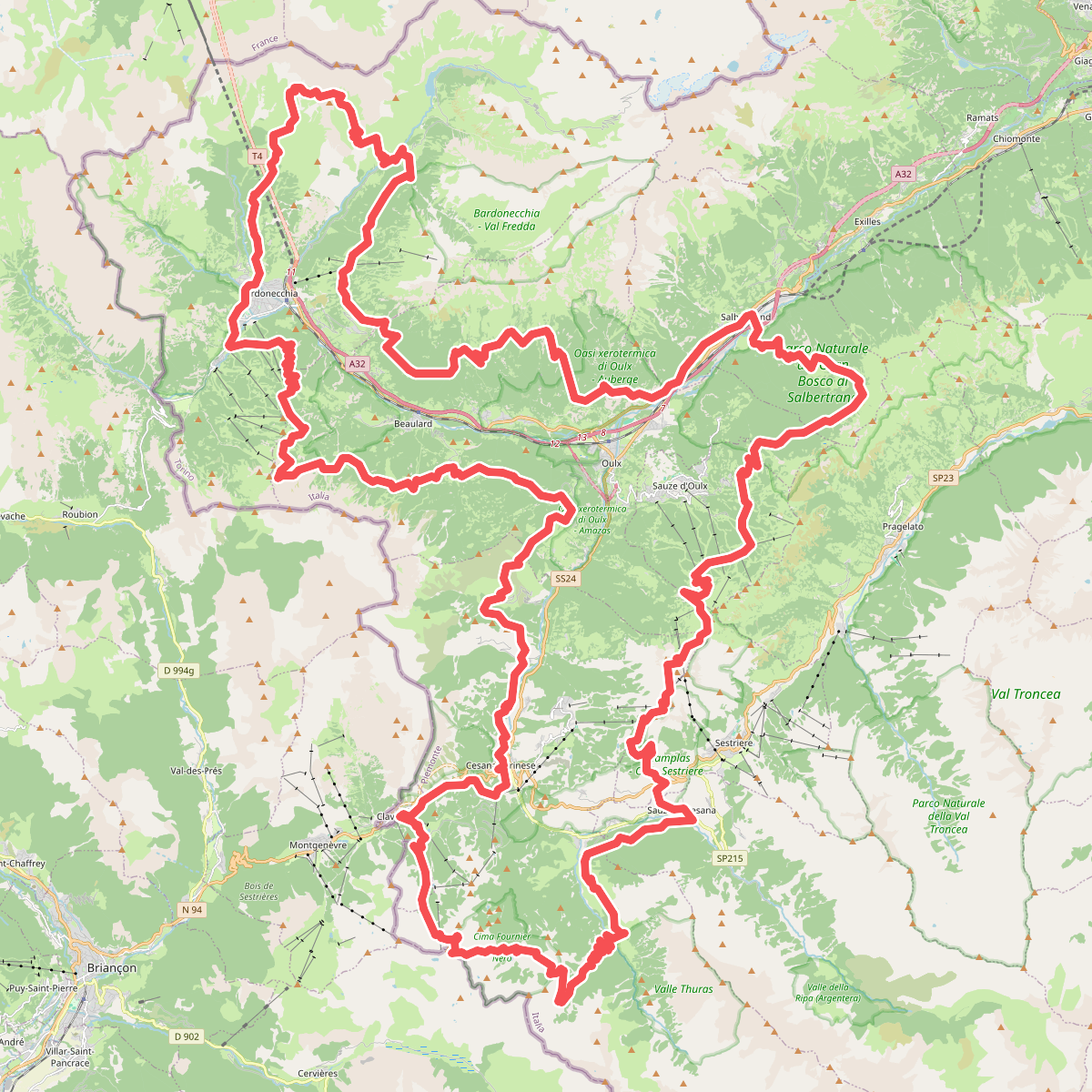
Discover the best walks in Valle Thuras. 2 routes on the map, with descriptions, photos and GPX.
Managed by Natura2000
About Valle Thuras
Valle Thuras is a high-altitude alpine valley in the Cottian Alps, characterized by its wide, gravelly riverbed and steep, scree-covered slopes. Unlike the more developed valleys nearby, this area lacks paved roads and major tourist infrastructure, offering a rugged landscape shaped by the seasonal flow of the Thuras torrent. Walkers will find a terrain dominated by larch forests on the lower slopes, which gradually give way to open alpine pastures and bare rock fields at higher elevations.
Read more
About Valle Thuras
Valle Thuras is a high-altitude alpine valley in the Cottian Alps, characterized by its wide, gravelly riverbed and steep, scree-covered slopes. Unlike the more developed valleys nearby, this area lacks paved roads and major tourist infrastructure, offering a rugged landscape shaped by the seasonal flow of the Thuras torrent. Walkers will find a terrain dominated by larch forests on the lower slopes, which gradually give way to open alpine pastures and bare rock fields at higher elevations.
Read moreValle Thuras is a high-altitude alpine valley in the Cottian Alps, characterized by its wide, gravelly riverbed and steep, scree-covered slopes. Unlike the more developed valleys nearby, this area lacks paved roads and major tourist infrastructure, offering a rugged landscape shaped by the seasonal flow of the Thuras torrent. Walkers will find a terrain dominated by larch forests on the lower slopes, which gradually give way to open alpine pastures and bare rock fields at higher elevations.
Underfoot, the main artery through the valley is a rough dirt track that is stony and uneven, requiring sturdy footwear. Side paths leading up the valley walls are often narrow, steep, and composed of loose shale or alpine grass, demanding careful foot placement. There are no boardwalks or manicured gravel paths here; the walking is raw and follows the natural contours of the mountain terrain.
In June, the melting snow reveals vibrant alpine meadows, while by October, the larch needles turn a deep gold against the grey limestone peaks. The valley is ideal for those seeking a demanding walk through a working pastoral landscape, where cows graze in the summer months, rather than a manicured park experience.