

The best hiking routes in Uelsener Berge
Discover the best walks in Uelsener Berge. 8 routes on the map, with descriptions, photos and GPX.
About Uelsener Berge
The Uelsener Berge area offers a landscape of low, forested moraine hills shaped by ice-age deposits, rising gently above the surrounding flat plains. Unlike the flat peatlands nearby, this area is defined by its rolling terrain, where walkers navigate a mix of sandy tracks and pine-needle paths. The forest cover is dominated by Scots pine and larch, interspersed with patches of birch and oak, which open up occasionally to reveal small, dry heathland clearings. Underfoot, the ground is predominantly sandy, with exposed tree roots crossing the narrower paths on the steeper slopes.
Read more
About Uelsener Berge
The Uelsener Berge area offers a landscape of low, forested moraine hills shaped by ice-age deposits, rising gently above the surrounding flat plains. Unlike the flat peatlands nearby, this area is defined by its rolling terrain, where walkers navigate a mix of sandy tracks and pine-needle paths. The forest cover is dominated by Scots pine and larch, interspersed with patches of birch and oak, which open up occasionally to reveal small, dry heathland clearings. Underfoot, the ground is predominantly sandy, with exposed tree roots crossing the narrower paths on the steeper slopes.
Read moreThe Uelsener Berge area offers a landscape of low, forested moraine hills shaped by ice-age deposits, rising gently above the surrounding flat plains. Unlike the flat peatlands nearby, this area is defined by its rolling terrain, where walkers navigate a mix of sandy tracks and pine-needle paths. The forest cover is dominated by Scots pine and larch, interspersed with patches of birch and oak, which open up occasionally to reveal small, dry heathland clearings. Underfoot, the ground is predominantly sandy, with exposed tree roots crossing the narrower paths on the steeper slopes.
Walking here means choosing between wide, firm forestry tracks and narrower, winding footpaths that climb the modest ridges. The elevation changes are gentle rather than dramatic, providing a varied pace without requiring steep climbs. In late August and September, the purple flowering of the small heather patches provides a distinct contrast to the dark green of the coniferous woods. The area is generally quiet, though the paths closest to the local holiday parks and trailheads see more regular foot traffic.
This landscape is not a wilderness of deep valleys or rocky peaks, but a managed forest with clear evidence of forestry work and historical sand extraction. The soils are naturally nutrient-poor, which dictates the specific vegetation of mosses, ferns, and hardy shrubs you see along the path sides. It is a reliable choice for those seeking a sheltered woodland walk with subtle terrain variations rather than wide-open views or wetland boardwalks.
Hiking routes in Uelsener Berge (8)
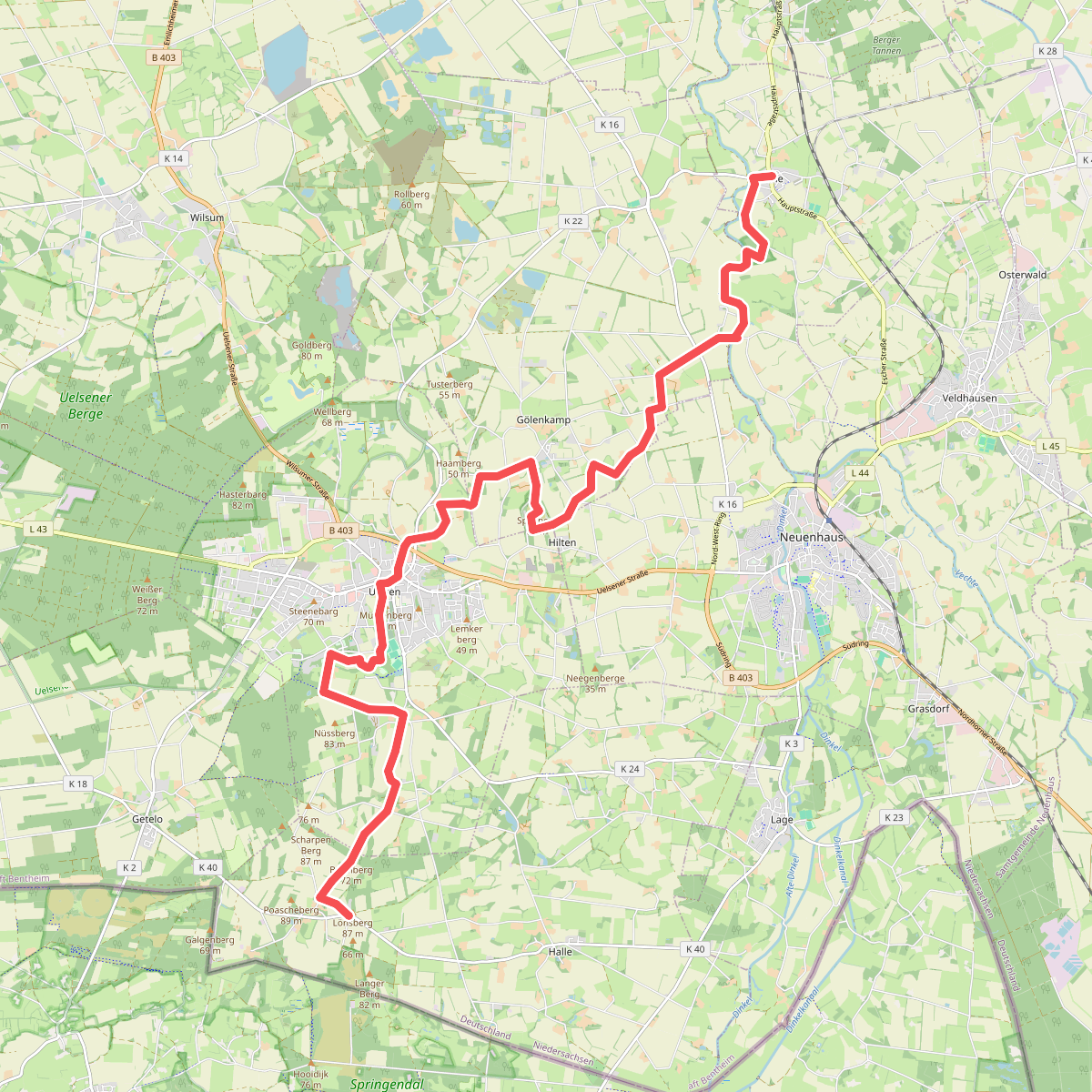
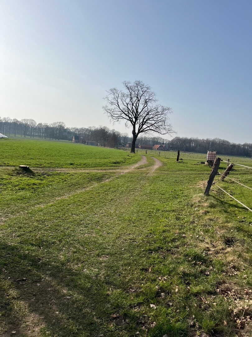
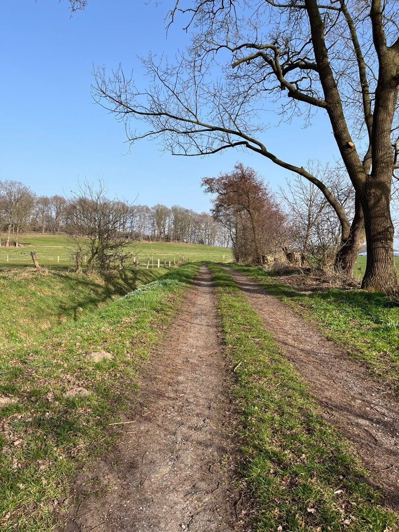
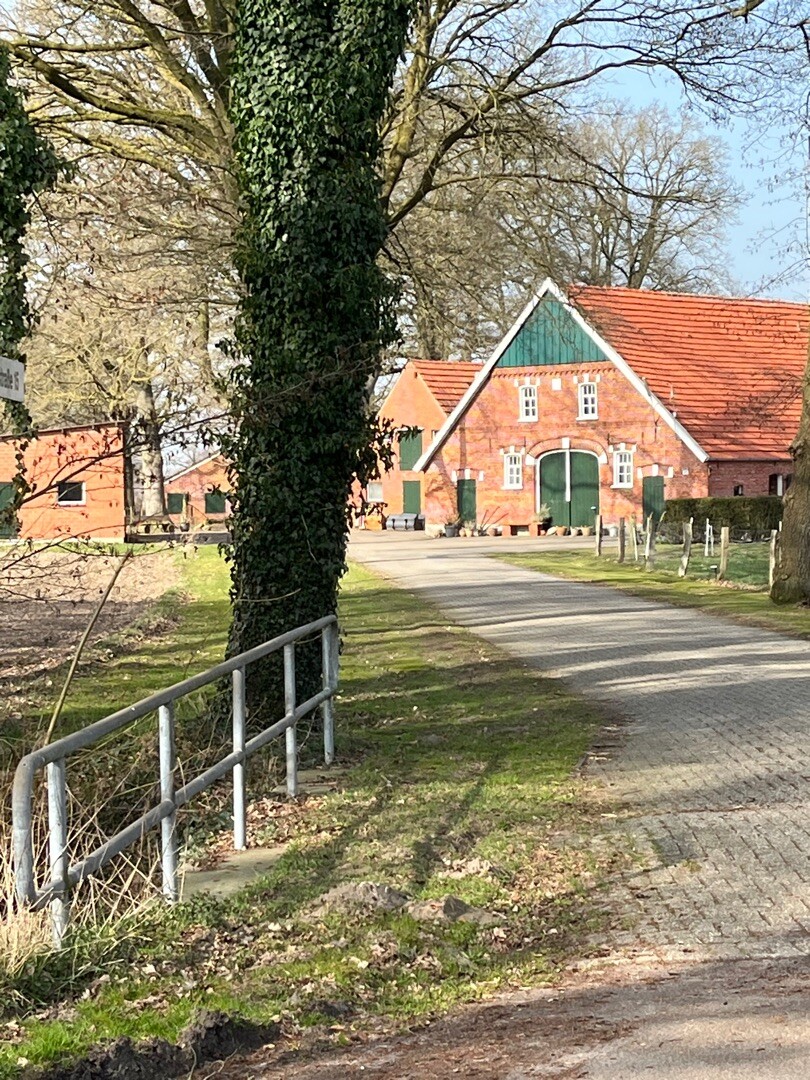
#1. Esche - Hesingen · Noaberpad etappe 10
Halle,Uelsen,Gölenkamp,Neuenhaus,Esche
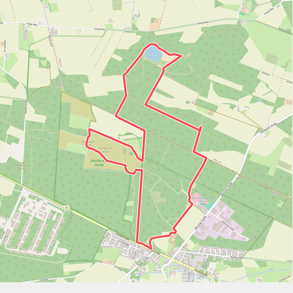
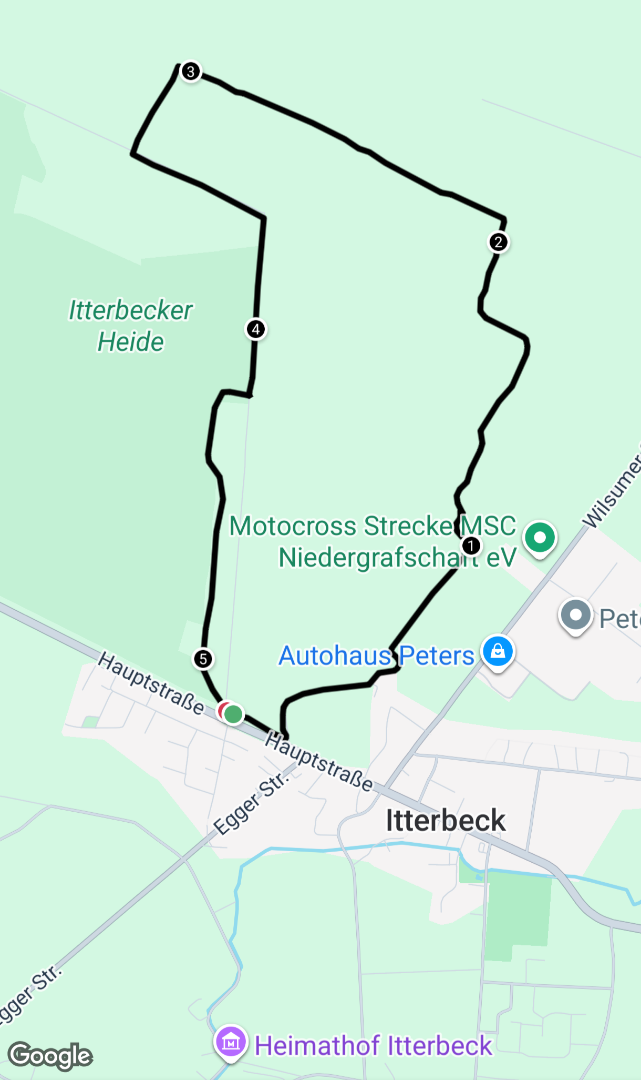
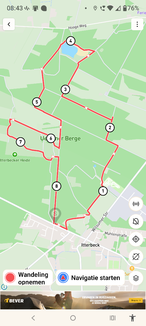
#2. Itterbecker_Heide_en_Kiesgrube_Wilsum
Itterbeck,Wilsum
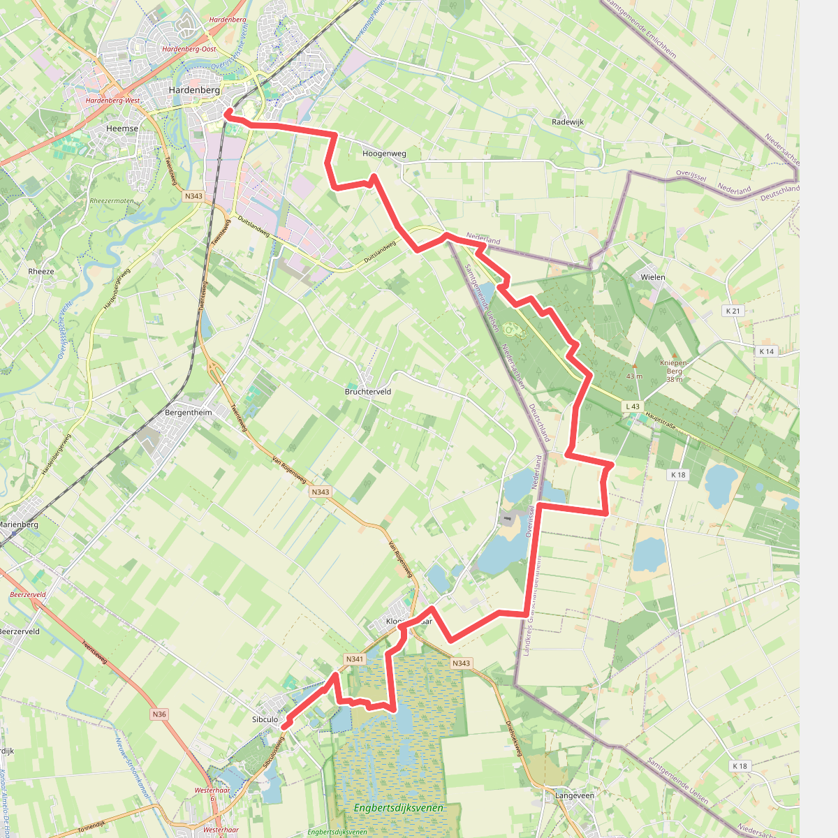
#3. Hardenberg naar Sibculo - "Tussen Zand en Veen" · NederRandpad etappe 7
Sibculo,Vriezenveen,Kloosterhaar,Bruchterveld,Radewijk,Venebrugge,Hoogenweg,Hardenberg
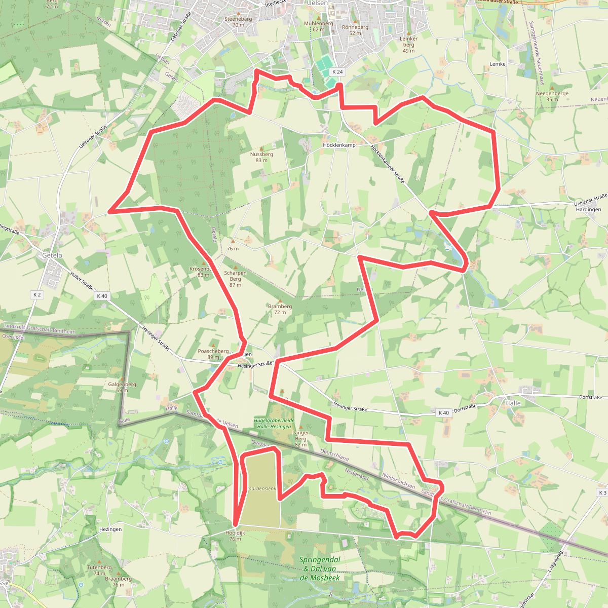
#4. Hesingen - Paars
Hezingen
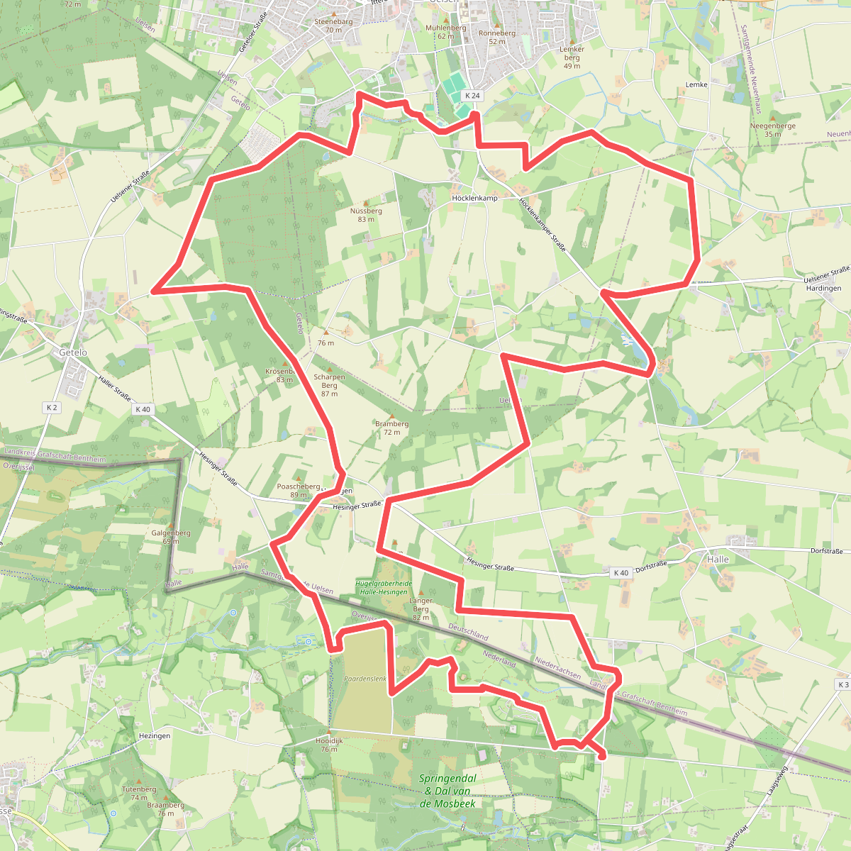
#5. Hezingerveld - Paars
Hezingen
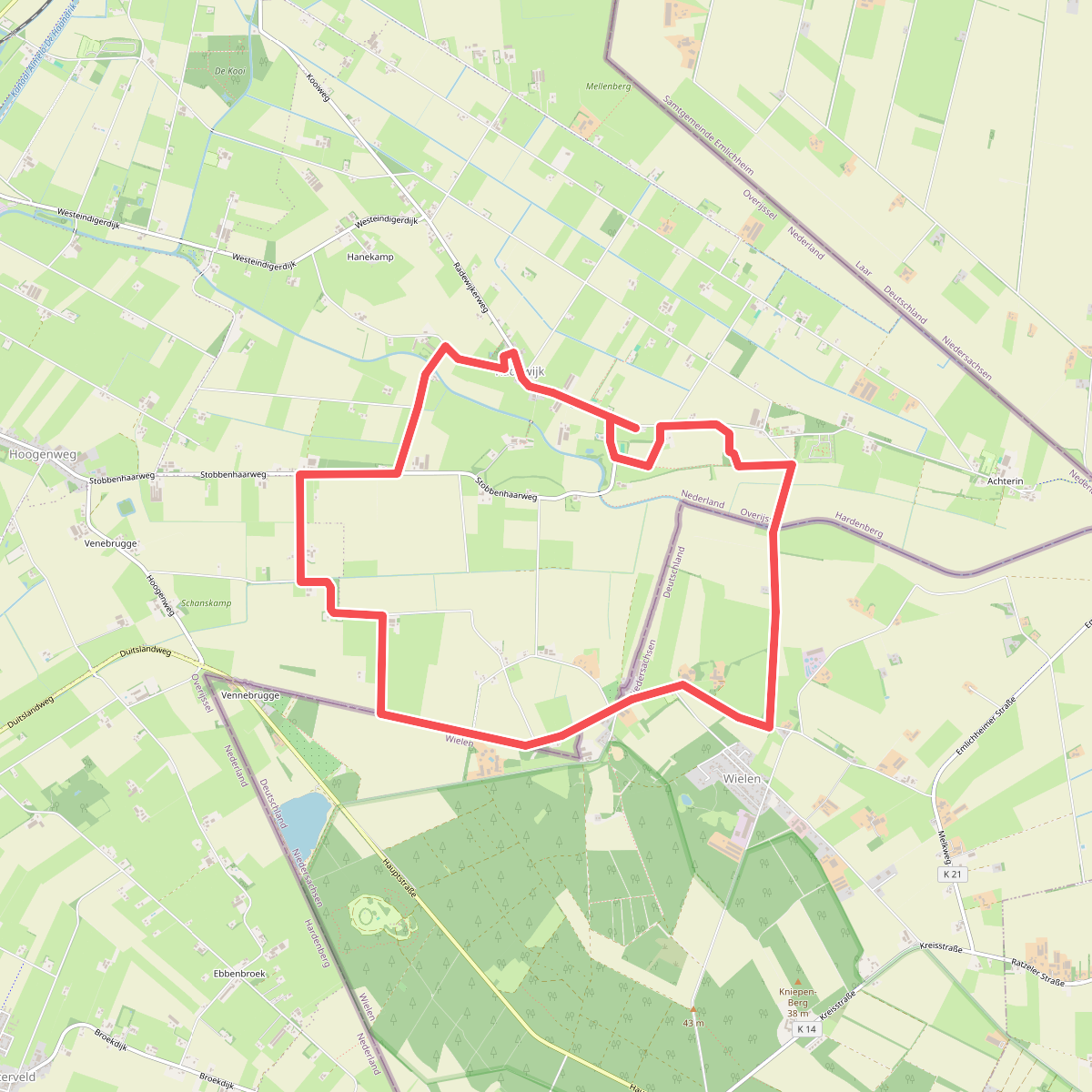
#6. Radewijk - Groen
Radewijk,Hoogenweg
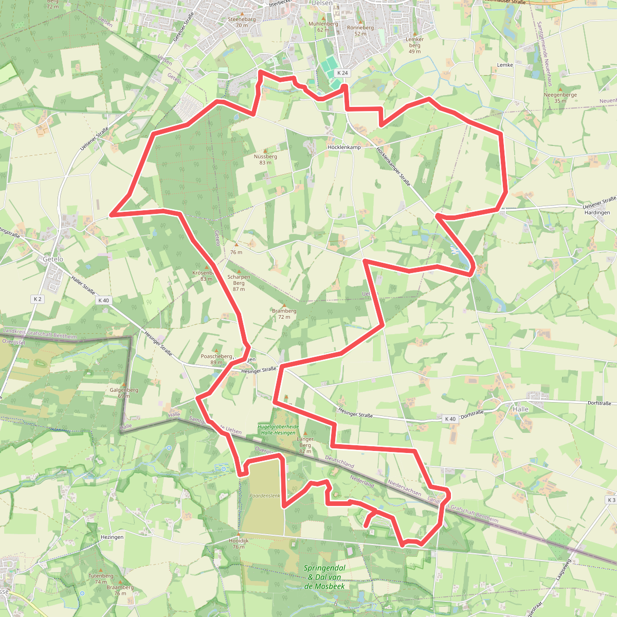
#7. Springendal - Paars
Hezingen
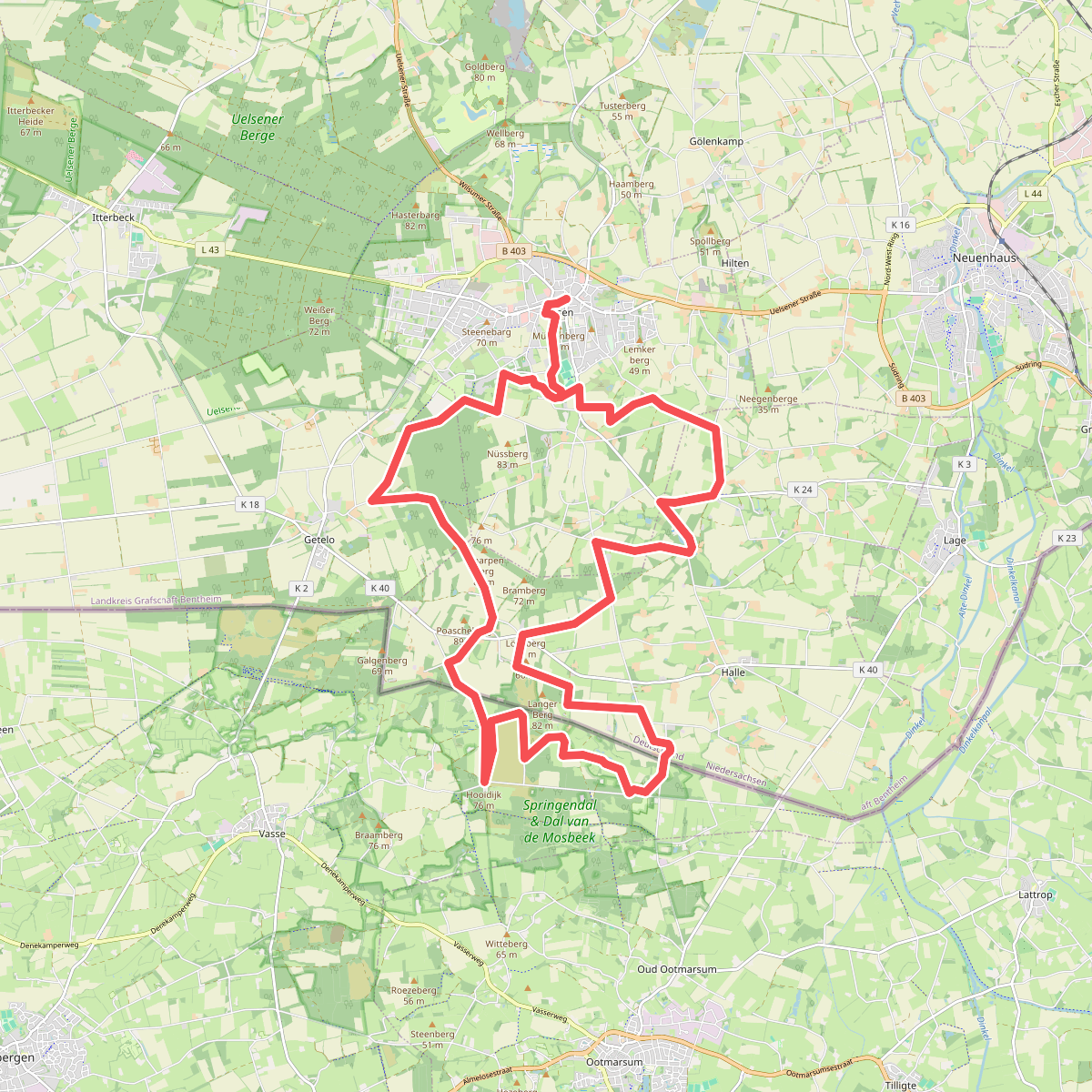
#8. Uelsen - Paars
Hezingen



