

The best hiking routes in Toteiskessellandschaft Kastenseeon
Discover the best walks in Toteiskessellandschaft Kastenseeon. 3 routes on the map, with descriptions, photos and GPX.
About Toteiskessellandschaft Kastenseeon
The Toteiskessellandschaft Kastenseeon offers a walk through a highly specific glacial landscape shaped by melting ice blocks from the last ice age. Instead of wide-open vistas or dramatic peaks, you will find a dense, undulating terrain of kettle holes, known locally as Toteiskessel. These steep-sided depressions vary between dry, grassy hollows and damp, peat-filled basins. The paths here are mostly unpaved forest tracks and narrow dirt trails that wind closely around these geological formations, requiring constant short climbs and descents.
Read more
About Toteiskessellandschaft Kastenseeon
The Toteiskessellandschaft Kastenseeon offers a walk through a highly specific glacial landscape shaped by melting ice blocks from the last ice age. Instead of wide-open vistas or dramatic peaks, you will find a dense, undulating terrain of kettle holes, known locally as Toteiskessel. These steep-sided depressions vary between dry, grassy hollows and damp, peat-filled basins. The paths here are mostly unpaved forest tracks and narrow dirt trails that wind closely around these geological formations, requiring constant short climbs and descents.
Read moreThe Toteiskessellandschaft Kastenseeon offers a walk through a highly specific glacial landscape shaped by melting ice blocks from the last ice age. Instead of wide-open vistas or dramatic peaks, you will find a dense, undulating terrain of kettle holes, known locally as Toteiskessel. These steep-sided depressions vary between dry, grassy hollows and damp, peat-filled basins. The paths here are mostly unpaved forest tracks and narrow dirt trails that wind closely around these geological formations, requiring constant short climbs and descents.
Underfoot, the ground alternates between soft forest soil, pine needle carpets, and damp earth near the basin edges. The vegetation changes rapidly within a few metres, shifting from dry mixed woodland on the ridges to marshy plants and reeds at the bottom of the wet kettles. The small lake of Kastenseeon sits within this landscape, providing a clear reference point, though much of the surrounding area is defined by these enclosed, bowl-like depressions that limit far-reaching views.
This area is best suited for those interested in glacial geography rather than long, flat striding. The terrain can feel enclosed and intimate, with the dense canopy often obscuring the sky. While the main paths near the lake can attract local visitors, the deeper forest trails through the kettle holes are generally quieter, offering a focused look at how retreating glaciers carved the Bavarian countryside.
Hiking routes in Toteiskessellandschaft Kastenseeon (3)
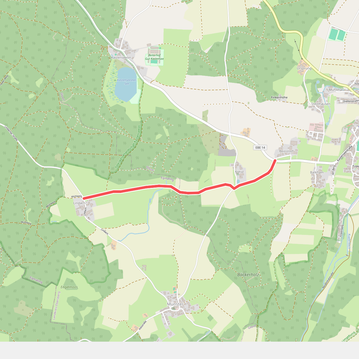
#1. Lena Christ Wanderweg
Glonn,Egmating
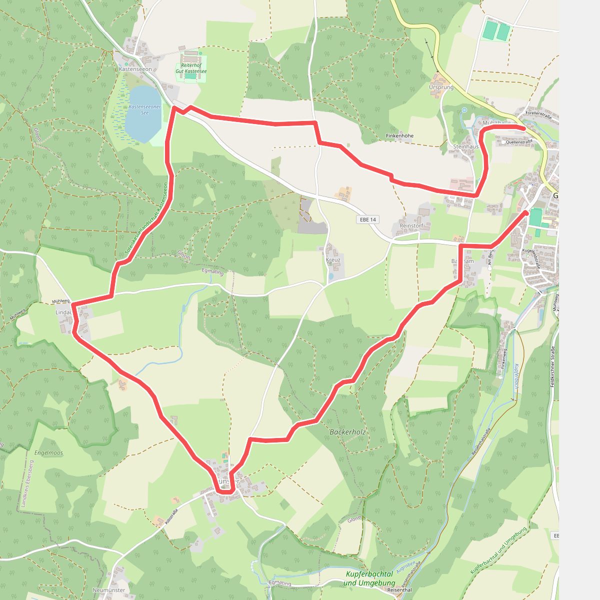
#2. Wanderweg 2, Glonn
Glonn,Egmating
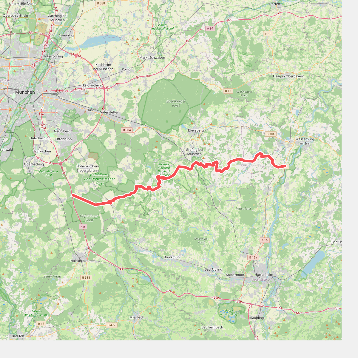
#3. Würmsee-Inntal-Weitwanderweg (weiß auf gelb)
Wasserburg am Inn,Edling,Pfaffing,Frauenneuharting,Aßling,Grafing bei München,Bruck,Glonn,Egmating,Aying,Brunnthal



