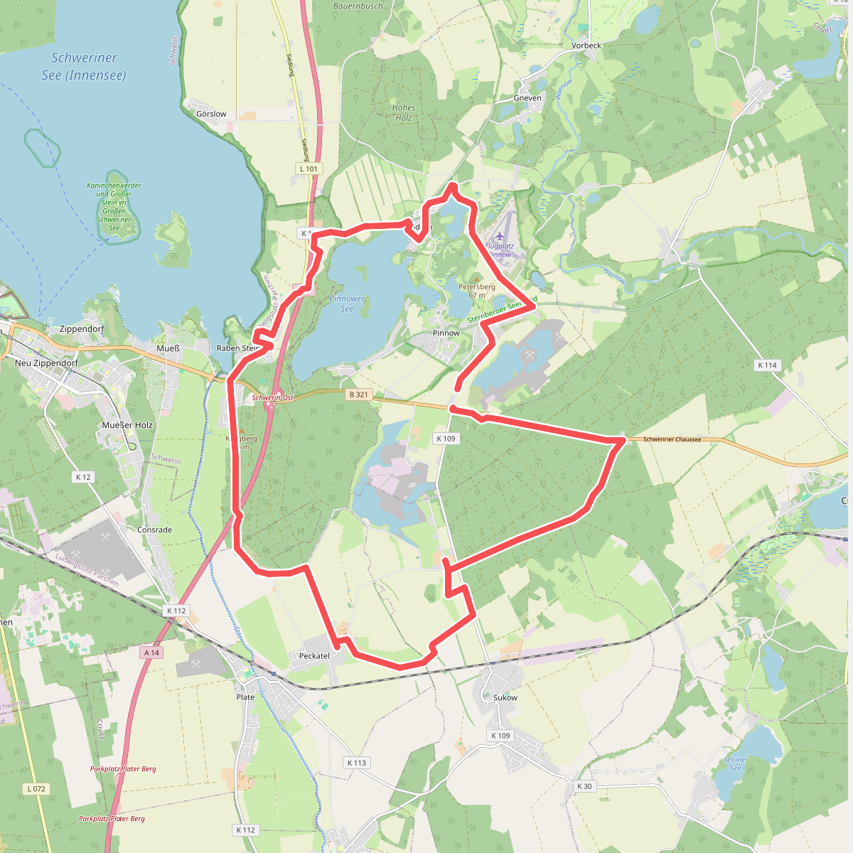
The best hiking routes in Sternberger Seenland
Discover the best walks in Sternberger Seenland. 19 routes on the map, with descriptions, photos and GPX.
About Sternberger Seenland
The Sternberger Seenland presents a landscape shaped by the last ice age, characterized by a dense network of lakes, narrow river valleys, and low, rolling moraine hills. Unlike flatter plains nearby, this area forces walkers to navigate constant, gentle elevation changes. The terrain is defined by the Warnow and Mildenitz rivers, which have cut deep, forested ravines into the sandy soil. Walkers will notice a distinct contrast between the dry, pine-dominated sandy ridges and the damp, peat-rich soils of the alder carrs and lake margins. Underfoot, the paths vary from soft forest earth and sandy tracks to occasional wooden boardwalks over the wettest marshy sections.
Read more
About Sternberger Seenland
The Sternberger Seenland presents a landscape shaped by the last ice age, characterized by a dense network of lakes, narrow river valleys, and low, rolling moraine hills. Unlike flatter plains nearby, this area forces walkers to navigate constant, gentle elevation changes. The terrain is defined by the Warnow and Mildenitz rivers, which have cut deep, forested ravines into the sandy soil. Walkers will notice a distinct contrast between the dry, pine-dominated sandy ridges and the damp, peat-rich soils of the alder carrs and lake margins. Underfoot, the paths vary from soft forest earth and sandy tracks to occasional wooden boardwalks over the wettest marshy sections.
Read moreThe Sternberger Seenland presents a landscape shaped by the last ice age, characterized by a dense network of lakes, narrow river valleys, and low, rolling moraine hills. Unlike flatter plains nearby, this area forces walkers to navigate constant, gentle elevation changes. The terrain is defined by the Warnow and Mildenitz rivers, which have cut deep, forested ravines into the sandy soil. Walkers will notice a distinct contrast between the dry, pine-dominated sandy ridges and the damp, peat-rich soils of the alder carrs and lake margins. Underfoot, the paths vary from soft forest earth and sandy tracks to occasional wooden boardwalks over the wettest marshy sections.
Because of the complex topography, views are short and enclosed by woodland rather than open and expansive. The area is not a destination for those seeking dramatic peaks or wide-open heathlands; instead, it offers intimate forest walking where the water is rarely out of sight. The lakes themselves range from clear, deep waters to shallow, reed-fringed basins undergoing natural siltation. This transition from open water to bog is visible directly from the shoreline paths, where the ground changes rapidly from firm sand to spongy peat.
In May, the deciduous woodlands on the steeper slopes show a vibrant green canopy before the leaf cover darkens the forest floor for the summer. While the main access points near Sternberg and the archaeological open-air museum can attract day-trippers, the deeper forest paths along the river bends remain quiet. Walkers should expect rustic, signposted forestry tracks rather than highly manicured gravel paths, requiring basic navigation and sturdy footwear suitable for uneven, root-crossed ground.
Hiking routes in Sternberger Seenland (19)
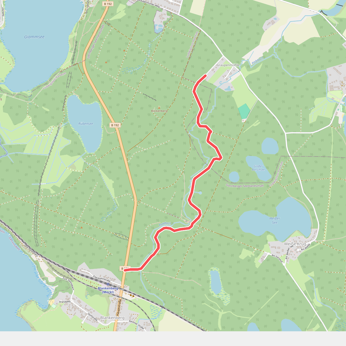
#1. Blankenberg - Graupenmühle
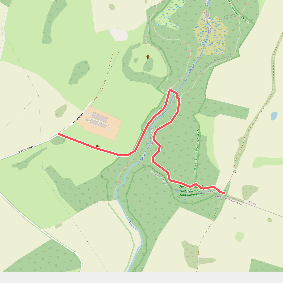
#2. Denkmalweg
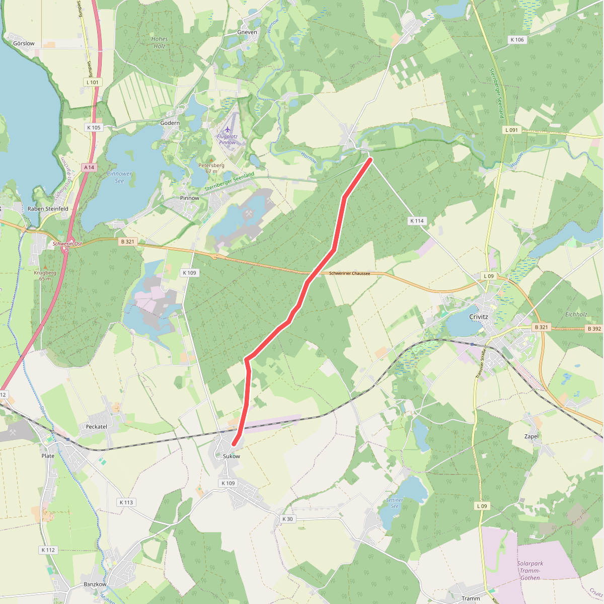
#3. Gädebehn - Sukow
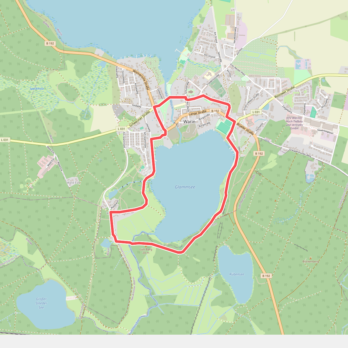
#4. Glammsee-Rundtour
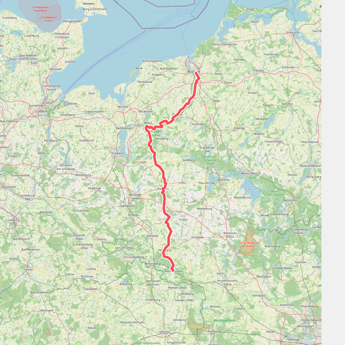
#5. Jakobsweg Rostock-Bad Wilsnack
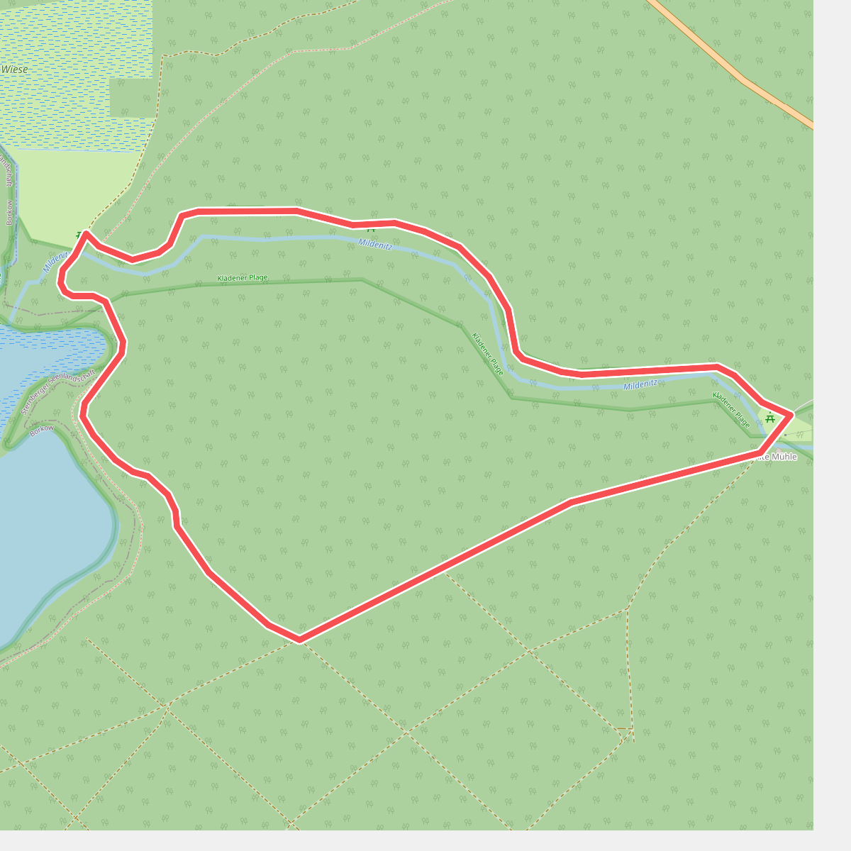
#6. Mildenitz Durchbruchstal Lehrpfad und Rundwanderweg
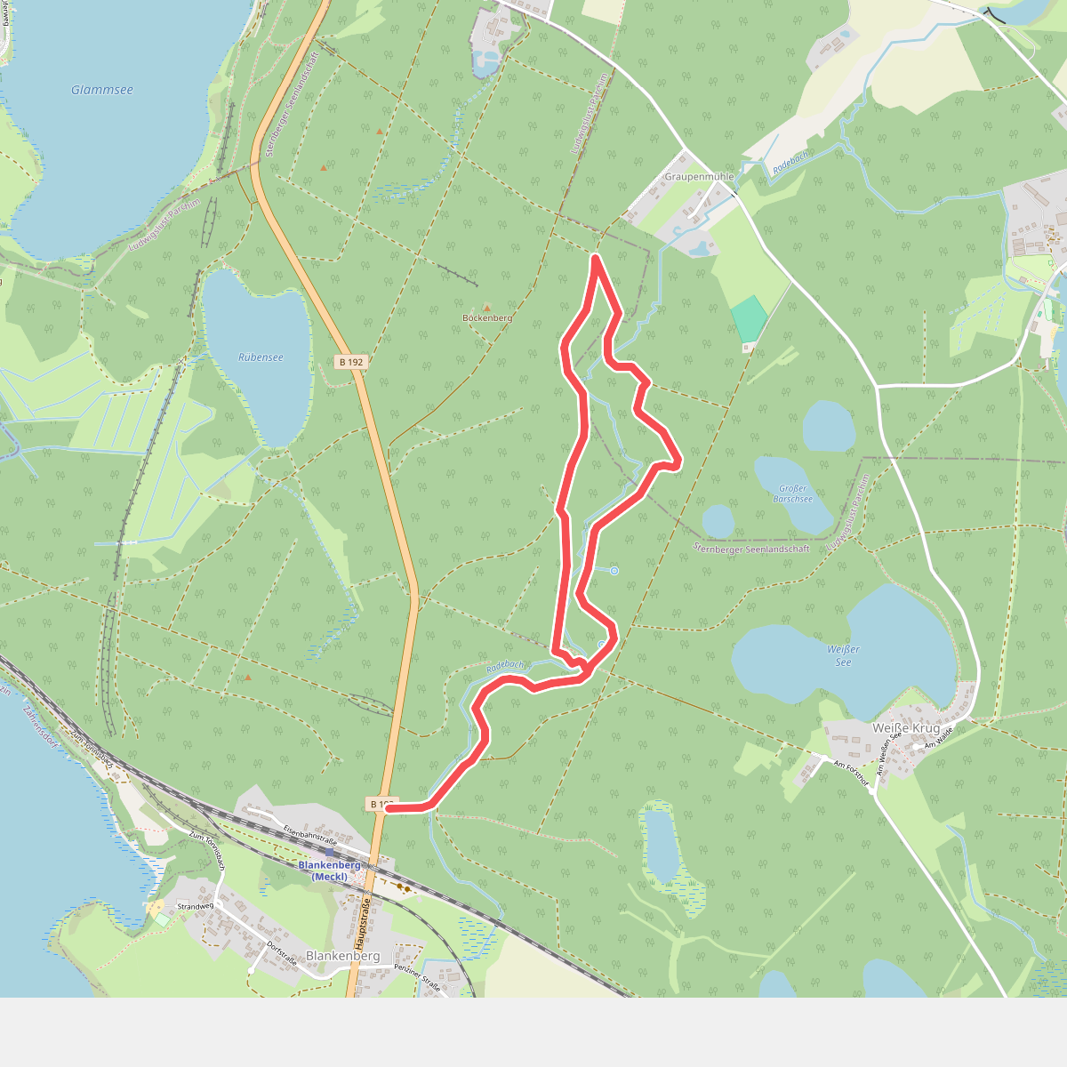
#7. Naturlehrpfad "Gerhard-Schulze-Weg"
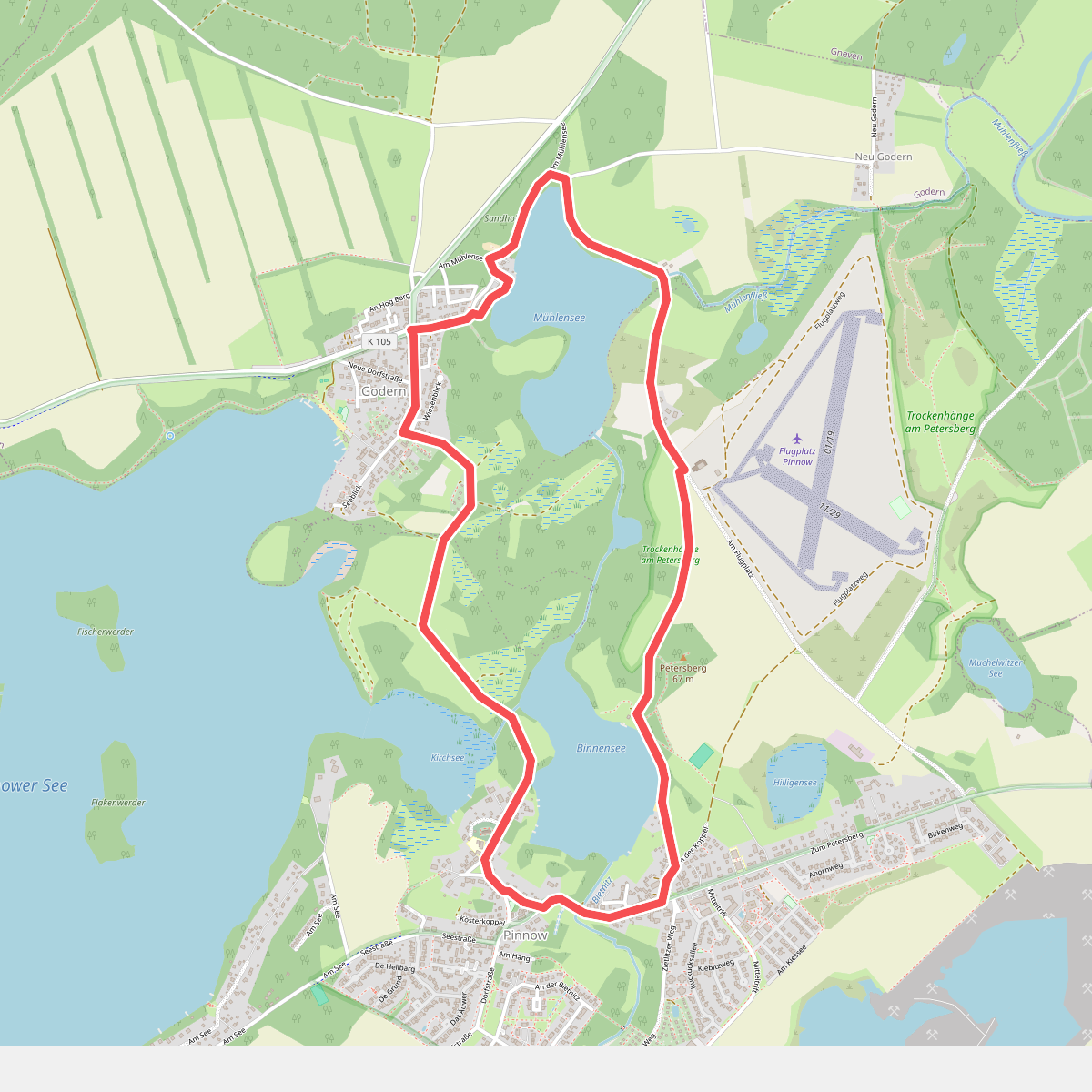
#8. Naturlehrpfad Pinnow
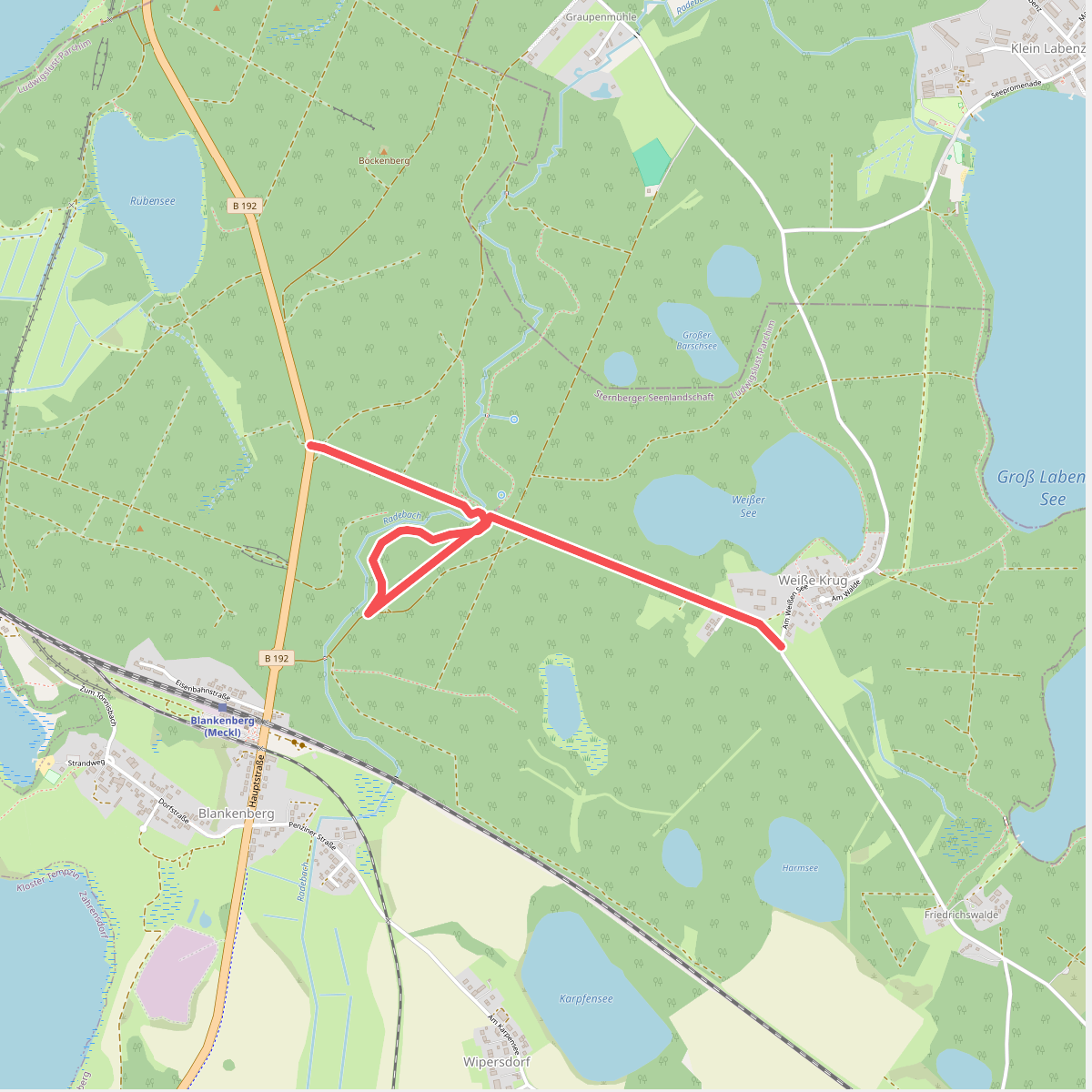
#9. Pilgerweg Heilige Bitgitta von Schweden
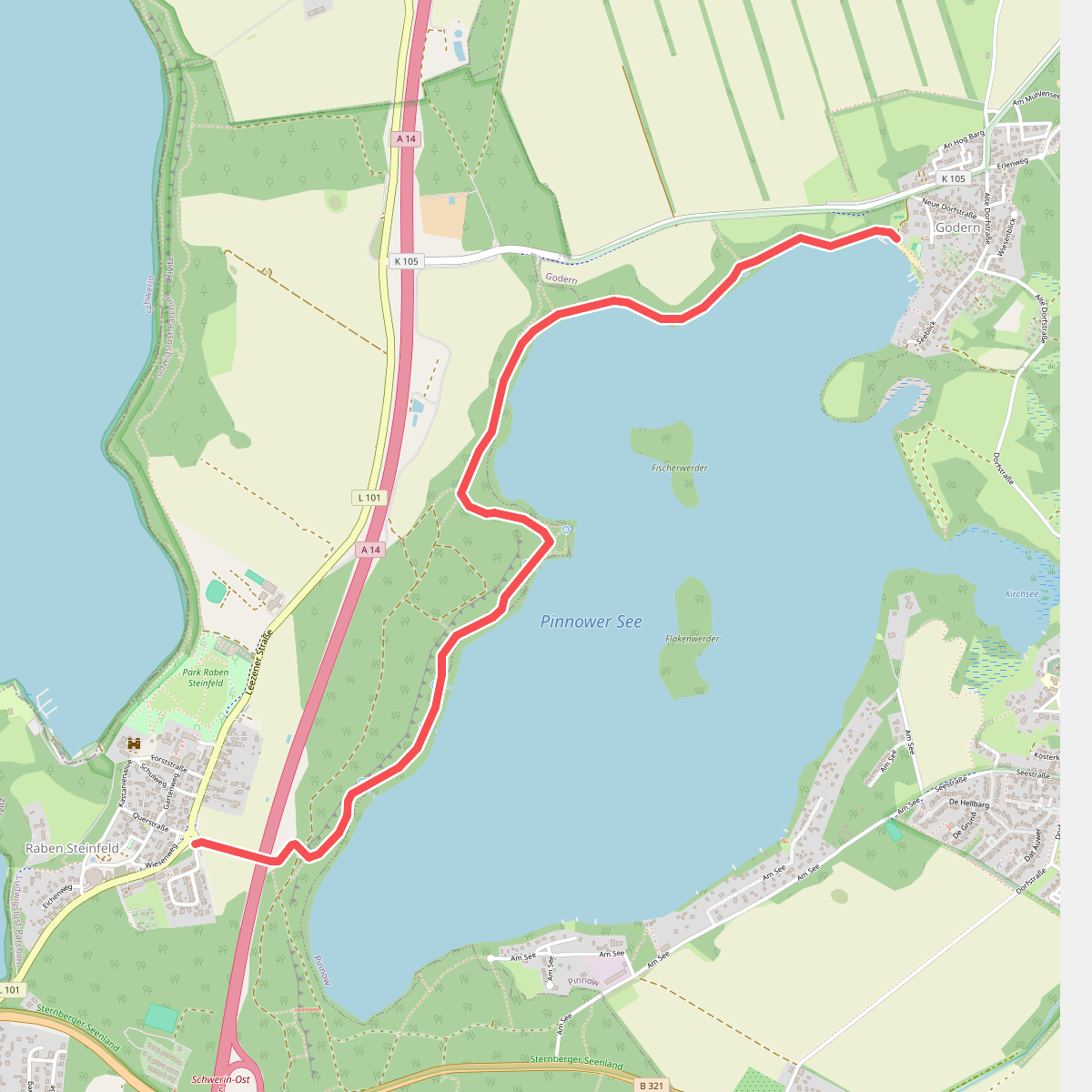
#10. Raben Steinfeld - Godern
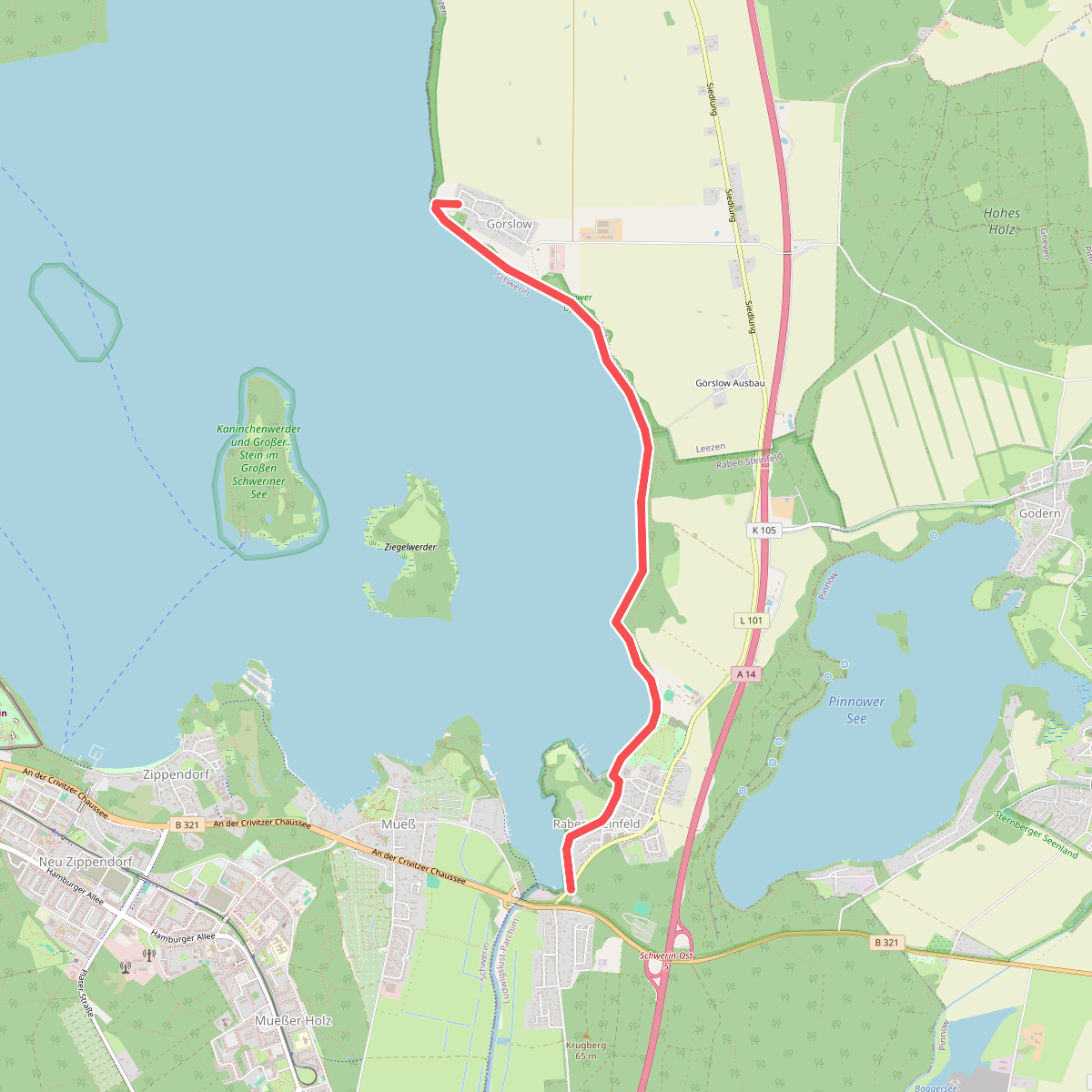
#11. Raben Steinfeld - Görslow