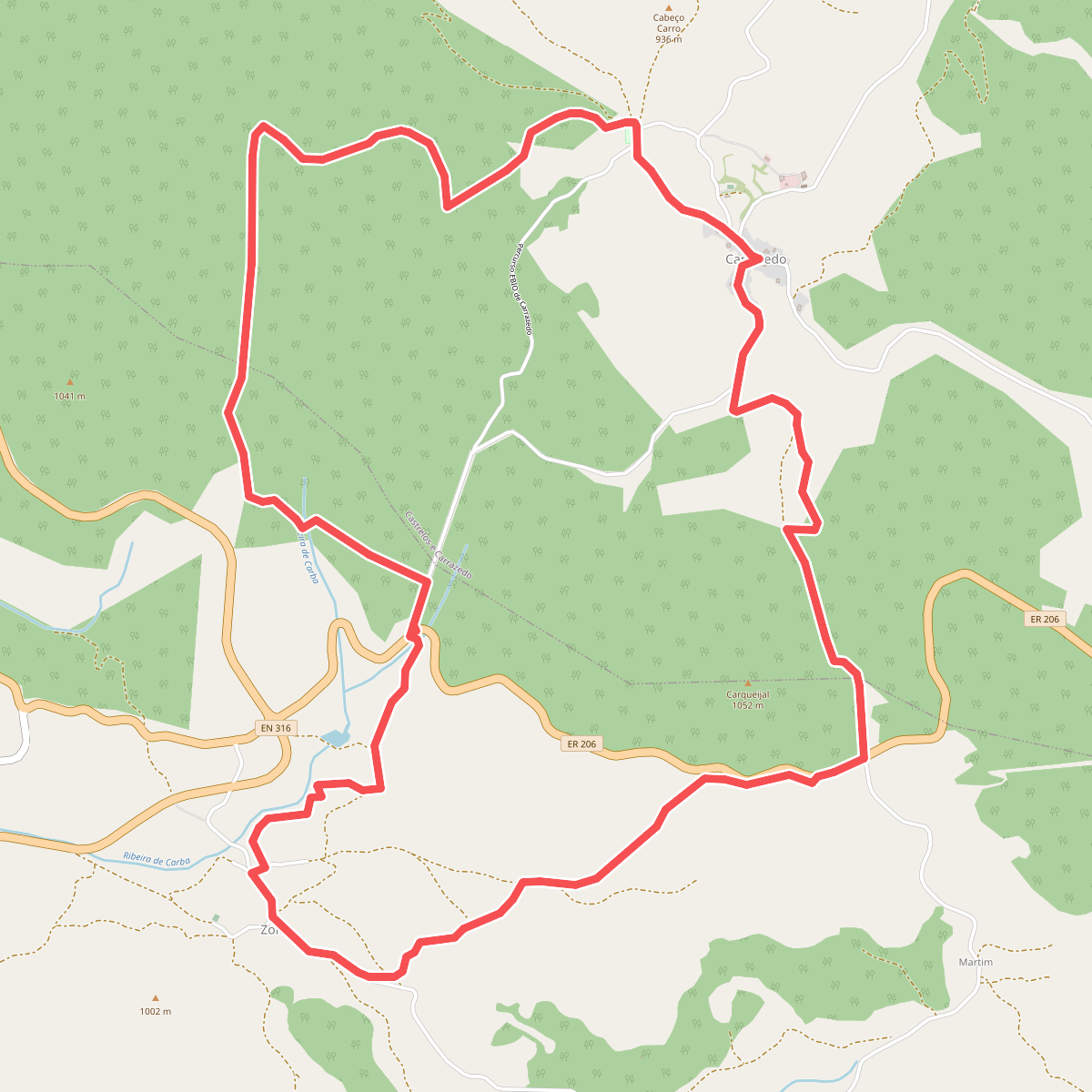
The best hiking routes in Sítio de Importância Comunitária de Montesinho-Nogueira
Discover the best walks in Sítio de Importância Comunitária de Montesinho-Nogueira. 9 routes on the map, with descriptions, photos and GPX.
Managed by Instituto da Conservação da Natureza e das Florestas
About Sítio de Importância Comunitária de Montesinho-Nogueira
Sítio de Importância Comunitária de Montesinho-Nogueira presents a stark division between two distinct upland environments in the far northeast of Portugal. In the northern Montesinho sector, walkers encounter a high-altitude plateau of dark schist and granite, where the vegetation is dominated by low-growing heather and gorse. In contrast, the southern Serra da Nogueira sector is defined by one of the largest continuous dwarf oak forests in Europe, where Pyrenean oak trees create a dense canopy that filters the light and alters the underfoot feel from open rock to deep leaf litter.
Read more
About Sítio de Importância Comunitária de Montesinho-Nogueira
Sítio de Importância Comunitária de Montesinho-Nogueira presents a stark division between two distinct upland environments in the far northeast of Portugal. In the northern Montesinho sector, walkers encounter a high-altitude plateau of dark schist and granite, where the vegetation is dominated by low-growing heather and gorse. In contrast, the southern Serra da Nogueira sector is defined by one of the largest continuous dwarf oak forests in Europe, where Pyrenean oak trees create a dense canopy that filters the light and alters the underfoot feel from open rock to deep leaf litter.
Read moreSítio de Importância Comunitária de Montesinho-Nogueira presents a stark division between two distinct upland environments in the far northeast of Portugal. In the northern Montesinho sector, walkers encounter a high-altitude plateau of dark schist and granite, where the vegetation is dominated by low-growing heather and gorse. In contrast, the southern Serra da Nogueira sector is defined by one of the largest continuous dwarf oak forests in Europe, where Pyrenean oak trees create a dense canopy that filters the light and alters the underfoot feel from open rock to deep leaf litter.
Walking here means navigating a mix of rough, stony firebreaks on the ridges and softer, earthier forestry tracks through the oak woods. The landscape is not one of dramatic alpine peaks or sheer cliffs, but rather of vast, rounded ridges and deep, isolated river valleys carved by the Sabor and Maçãs rivers. You will notice how human activity has shaped the terrain, with traditional slate-roofed villages nestled in the valleys, surrounded by small, terraced rye fields and chestnut groves that contrast with the wilder, uncultivated high ground.
Underfoot, the paths are mostly dry and rocky, requiring sturdy footwear to cope with loose schist fragments. In May, the high heaths of Montesinho turn purple and yellow with blooming heather and broom, while the oak forests of Nogueira remain cool and shaded. The area is generally quiet, though the immediate surroundings of villages like Montesinho can see more foot traffic on weekends.
Hiking routes in Sítio de Importância Comunitária de Montesinho-Nogueira (9)
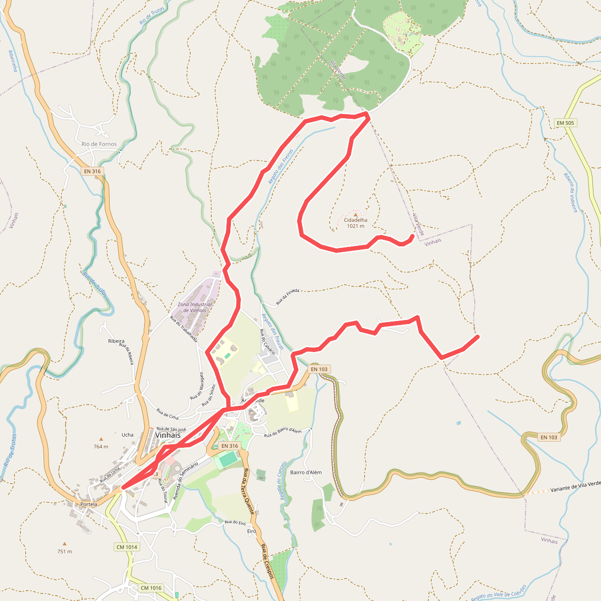
#1. A Caminho da Ciradelha
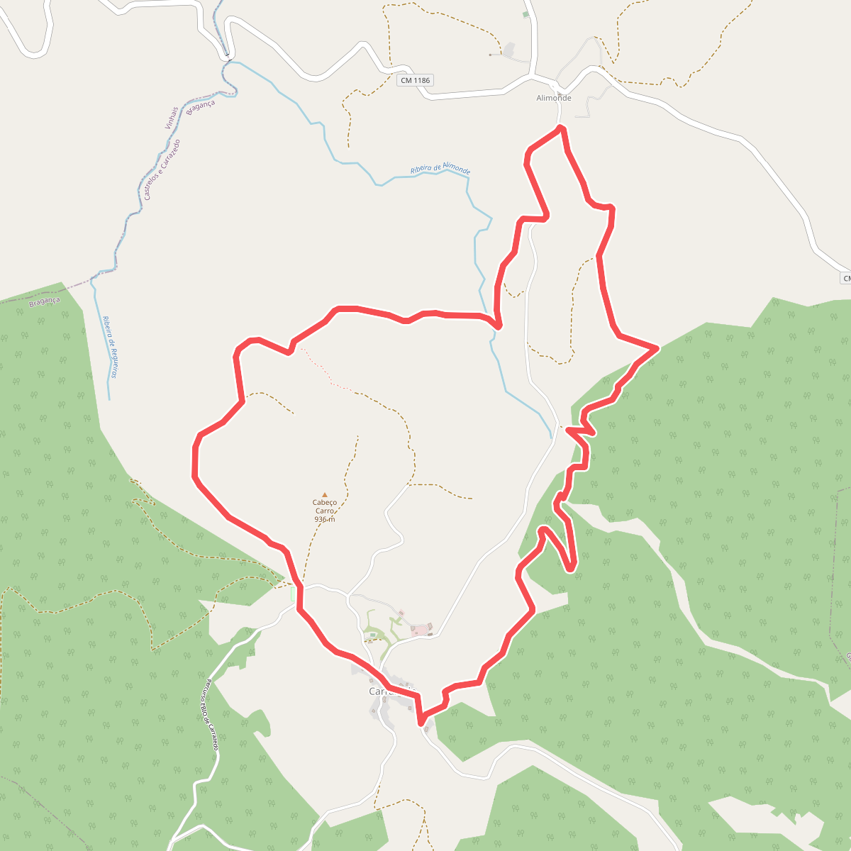
#2. Da Via Romana aos Carvalhais e Lameiros
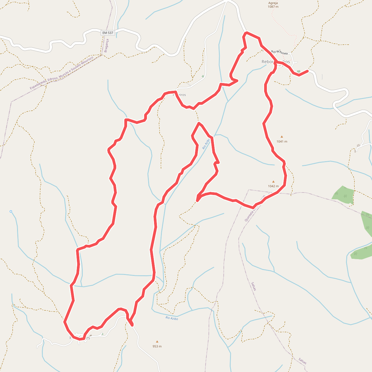
#3. Entre Carvalhais e Vales encaixados
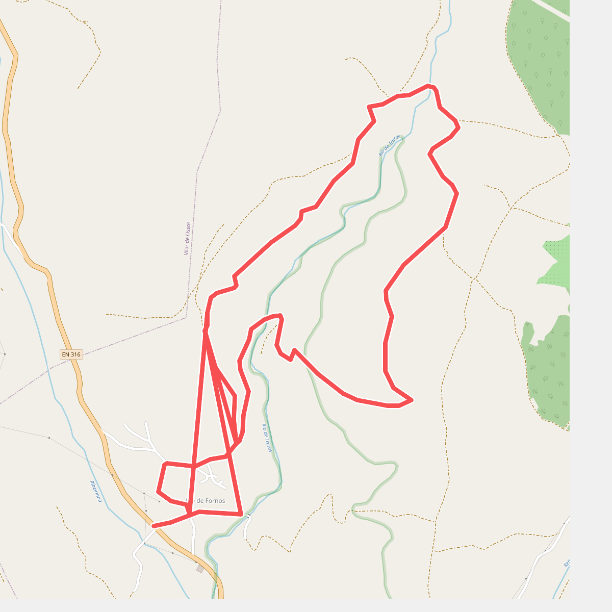
#4. Meiral
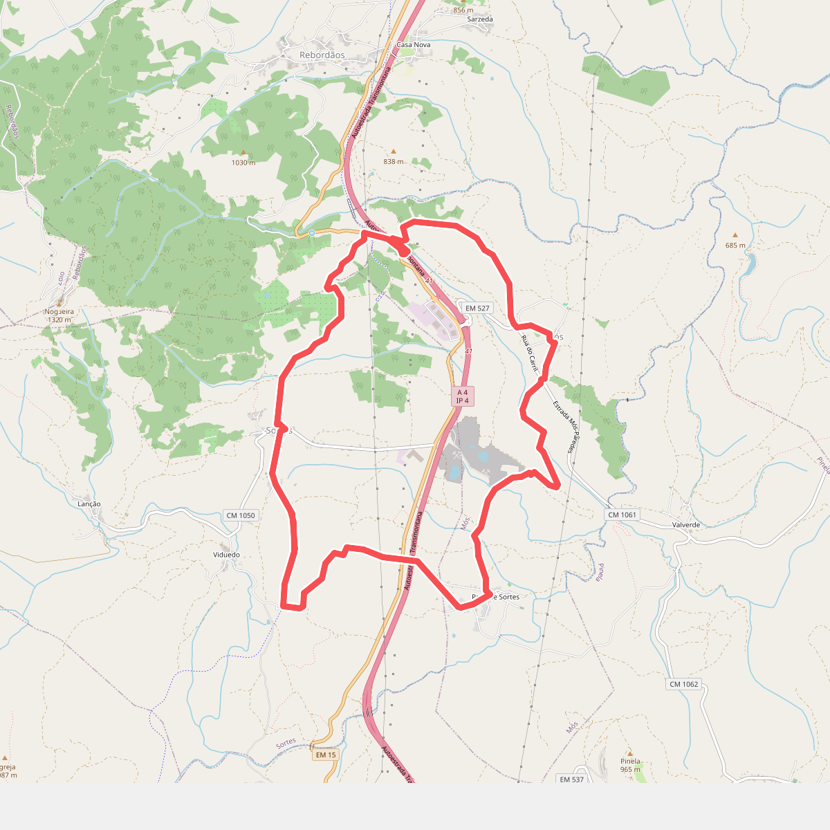
#5. Nas Faldas da Serra da Nogueira
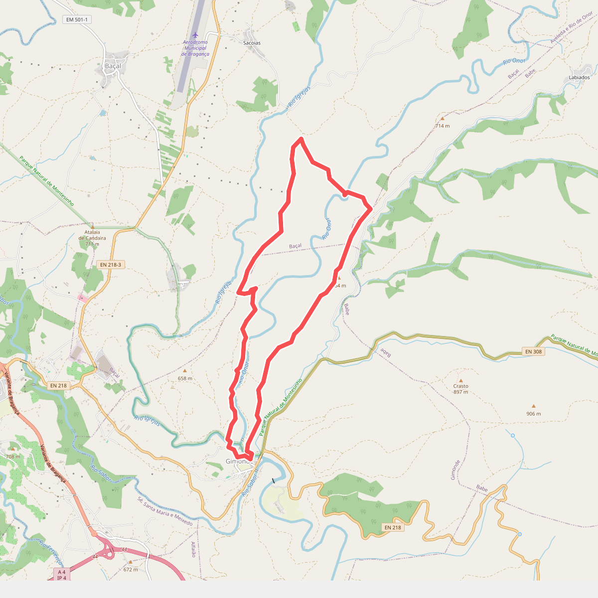
#6. Percurso Pedestre do Malara
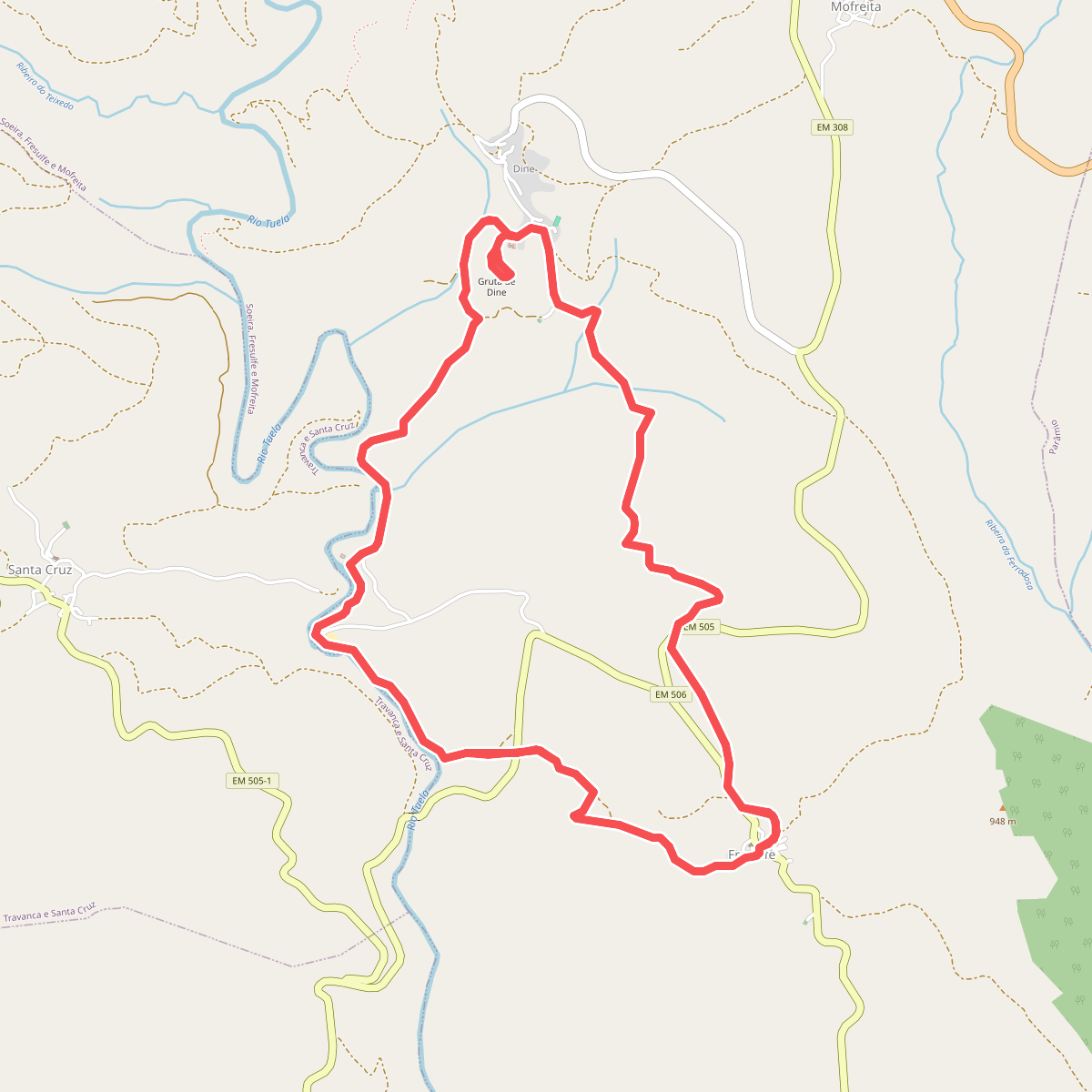
#7. Termas do Tuela
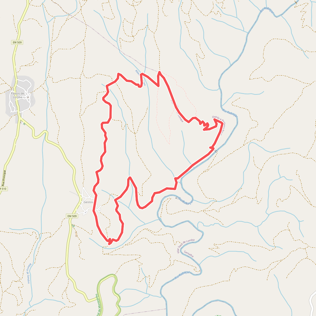
#8. Tresmonte