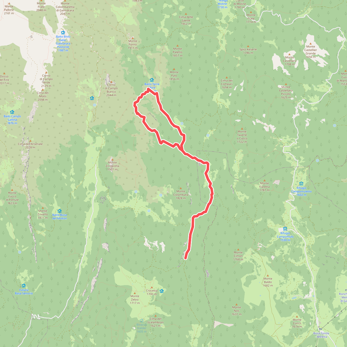
The best hiking routes in SIC Altopiano dei Sette Comuni
Discover the best walks in SIC Altopiano dei Sette Comuni. 26 routes on the map, with descriptions, photos and GPX.
Managed by Regione Veneto
About SIC Altopiano dei Sette Comuni
SIC Altopiano dei Sette Comuni is a vast karst plateau in northern Italy, characterized by a rolling landscape of limestone formations, sinkholes, and deep fissures rather than jagged alpine peaks. The terrain is defined by its lack of surface water, as rain quickly disappears into the porous rock, leaving dry valleys and subterranean cave systems beneath the meadows. Walkers will notice how the dense spruce and beech forests of the lower slopes gradually give way to wide, open pastures and bare limestone pavements at higher elevations.
Read more
About SIC Altopiano dei Sette Comuni
SIC Altopiano dei Sette Comuni is a vast karst plateau in northern Italy, characterized by a rolling landscape of limestone formations, sinkholes, and deep fissures rather than jagged alpine peaks. The terrain is defined by its lack of surface water, as rain quickly disappears into the porous rock, leaving dry valleys and subterranean cave systems beneath the meadows. Walkers will notice how the dense spruce and beech forests of the lower slopes gradually give way to wide, open pastures and bare limestone pavements at higher elevations.
Read moreSIC Altopiano dei Sette Comuni is a vast karst plateau in northern Italy, characterized by a rolling landscape of limestone formations, sinkholes, and deep fissures rather than jagged alpine peaks. The terrain is defined by its lack of surface water, as rain quickly disappears into the porous rock, leaving dry valleys and subterranean cave systems beneath the meadows. Walkers will notice how the dense spruce and beech forests of the lower slopes gradually give way to wide, open pastures and bare limestone pavements at higher elevations.
Underfoot, the paths vary from gravel forestry tracks and old military roads to rough, stony singletracks where loose limestone fragments require careful stepping. Unlike the muddy clay of the valleys, these paths drain quickly, though the exposed rock can become slick. The landscape still bears the physical scars of the First World War, with trenches, craters, and stone ruins now overgrown by alpine grasses and wildflowers, forming an integral part of the topography you navigate.
While the lower pine forests offer sheltered, shaded walking, the higher pastures are completely exposed to the elements. The area is known for its traditional dairy farming, and in July and August, you will share the landscape with grazing cattle and active mountain dairies. The more accessible historical sites attract visitors, but the vast network of trails allows for quieter walking across the stony, undulating plateau.
Hiking routes in SIC Altopiano dei Sette Comuni (26)
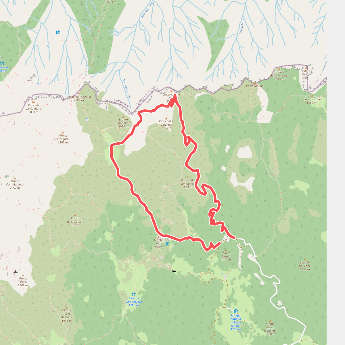
#1. Caldiera
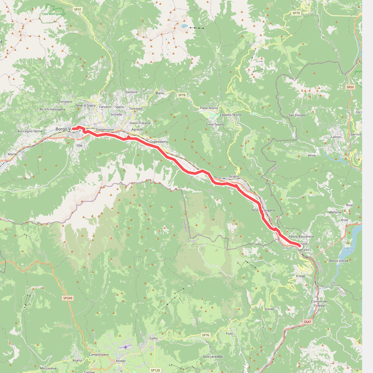
#2. Cammino del beato Enrico - Tappa 6
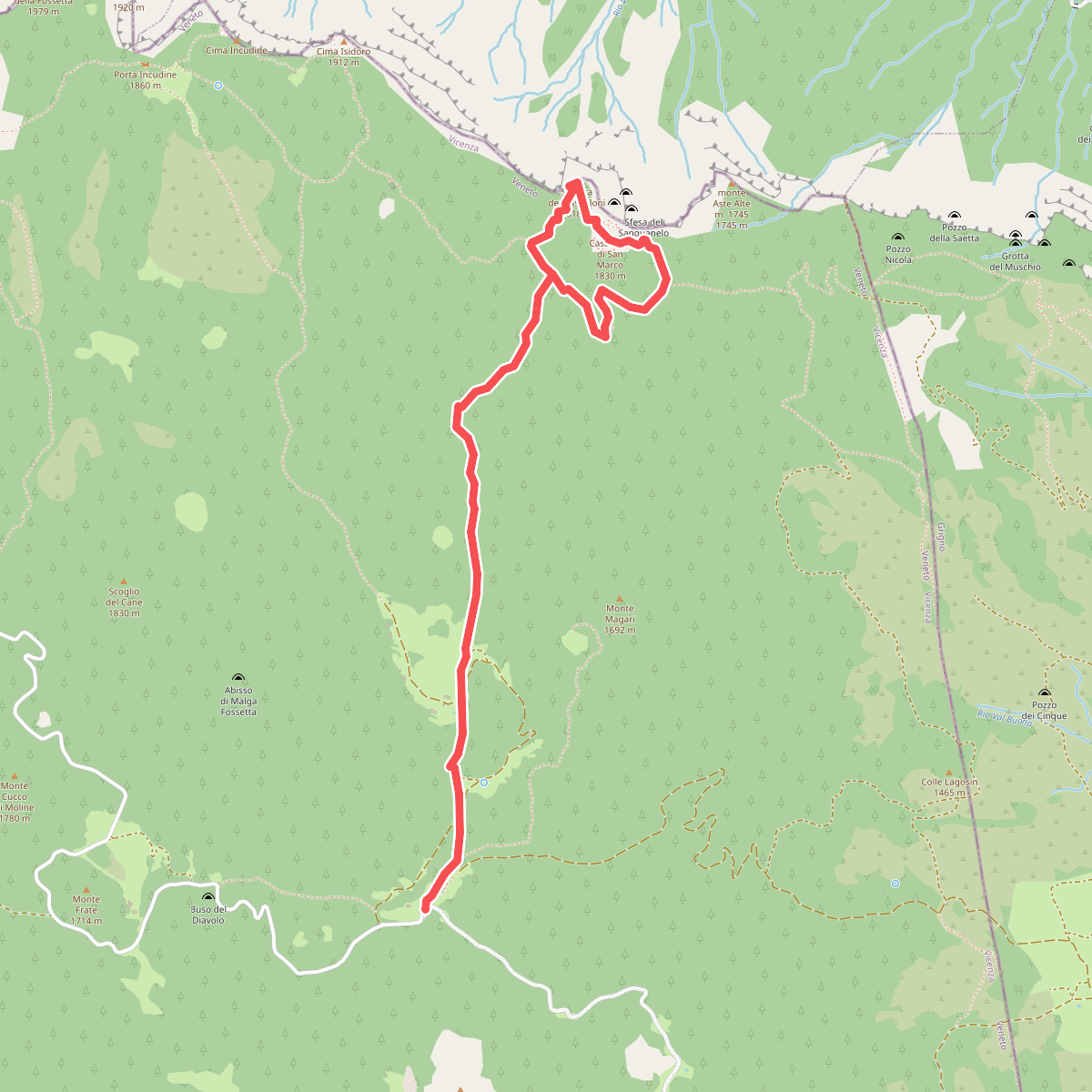
#3. Castelloni di San Marco
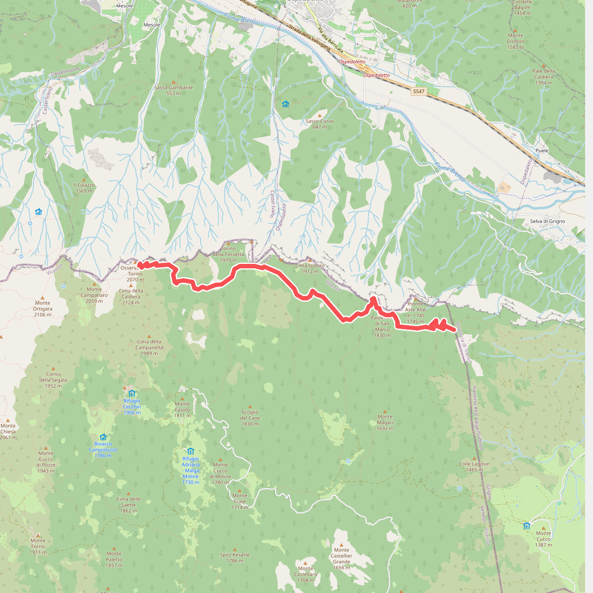
#4. Castelloni di San Marco - Caldiera
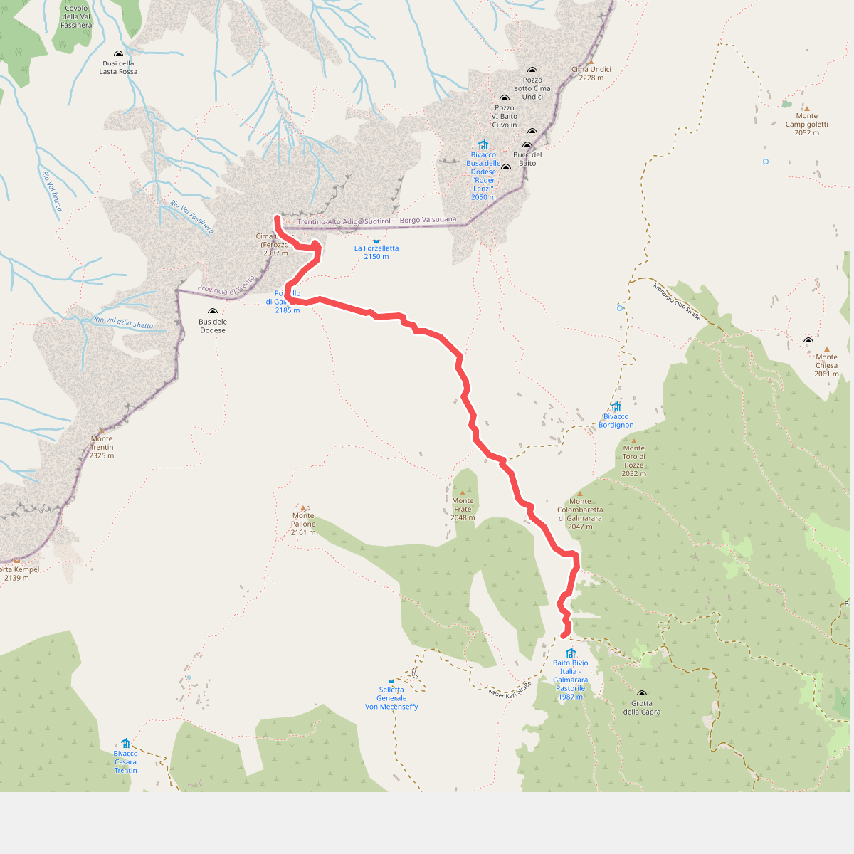
#5. Cima Dodici
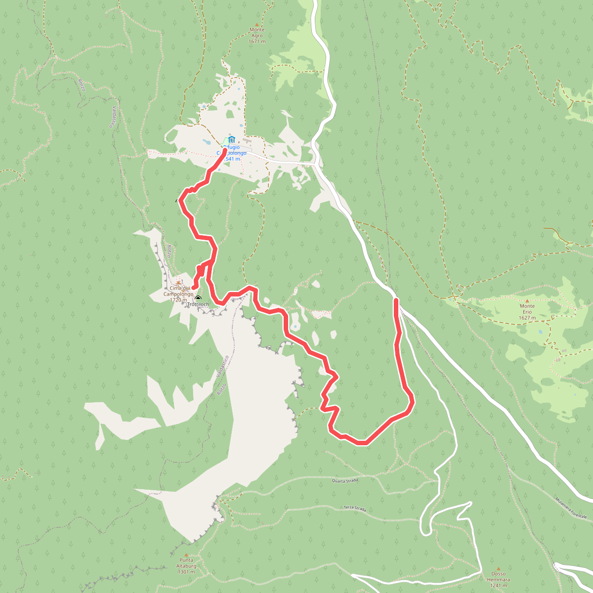
#6. Forte Campolongo
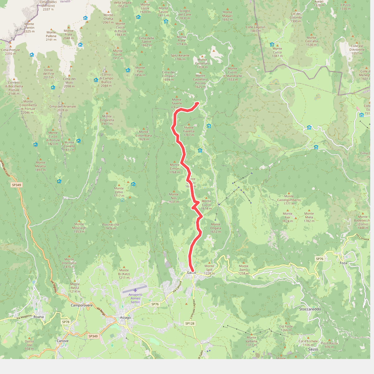
#7. Gallio/Fiara
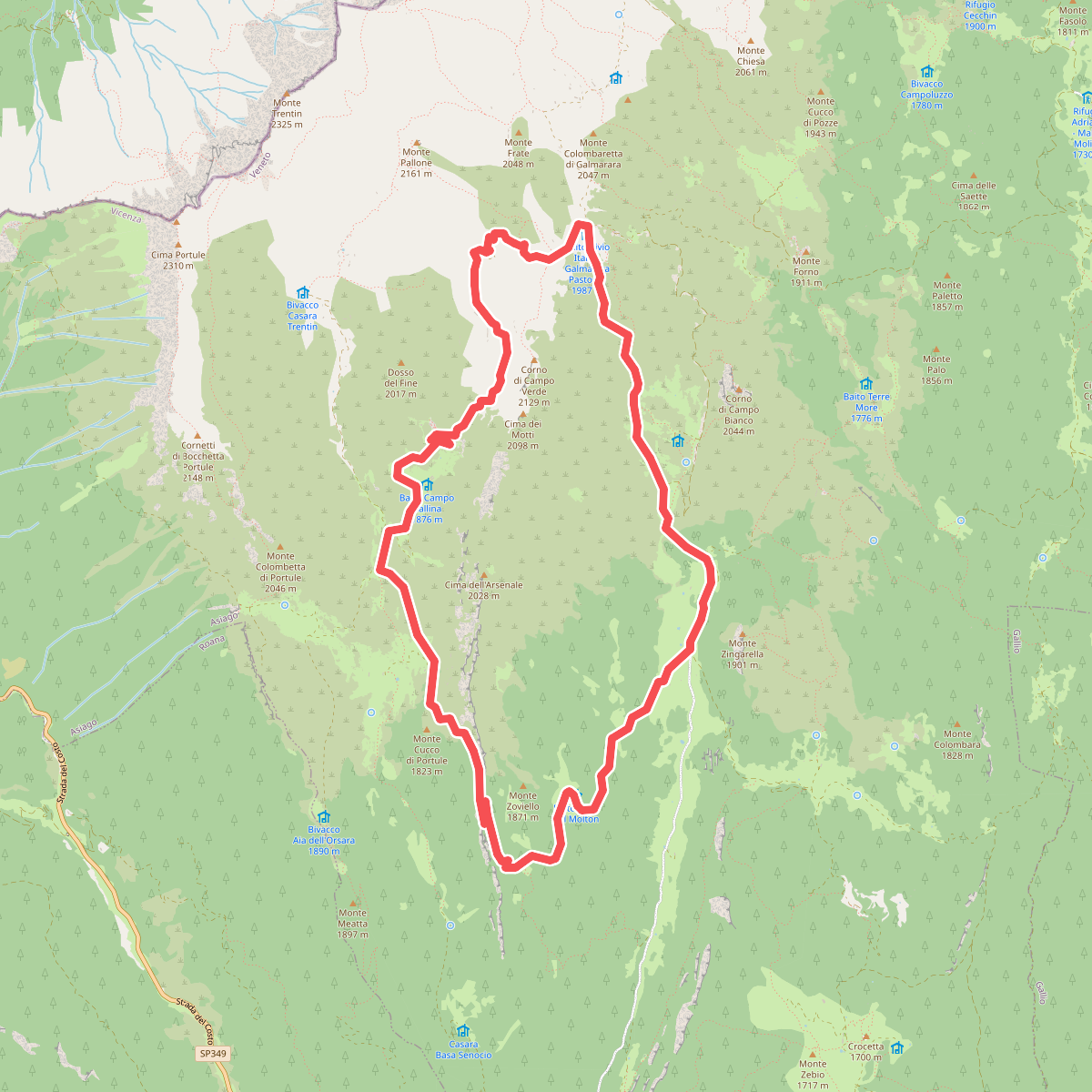
#8. Galmarara - Bivio Italia
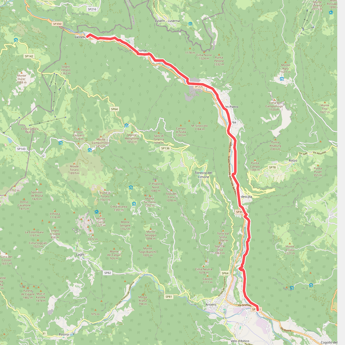
#9. Itinerario Valle dell'Astico
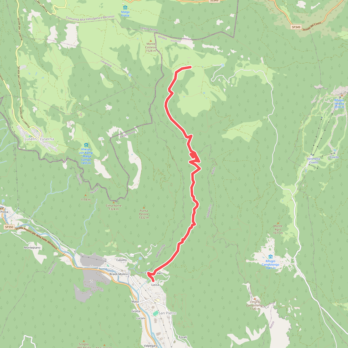
#10. La Singela
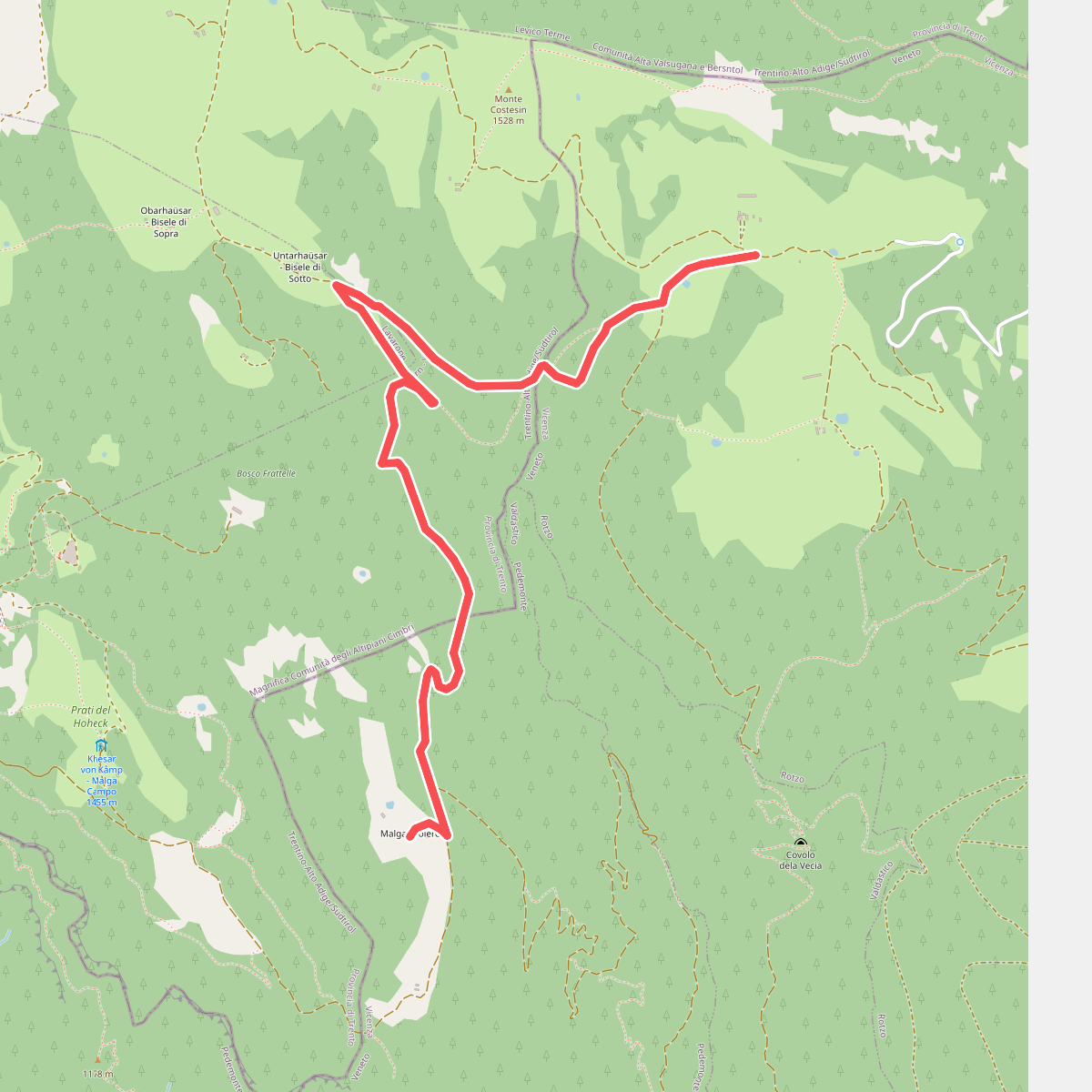
#11. Malga Camporosà – Contrà Bisele di Sotto – Ponte Rossato – Malga Crojer