The best hiking routes in Serra de Montemuro
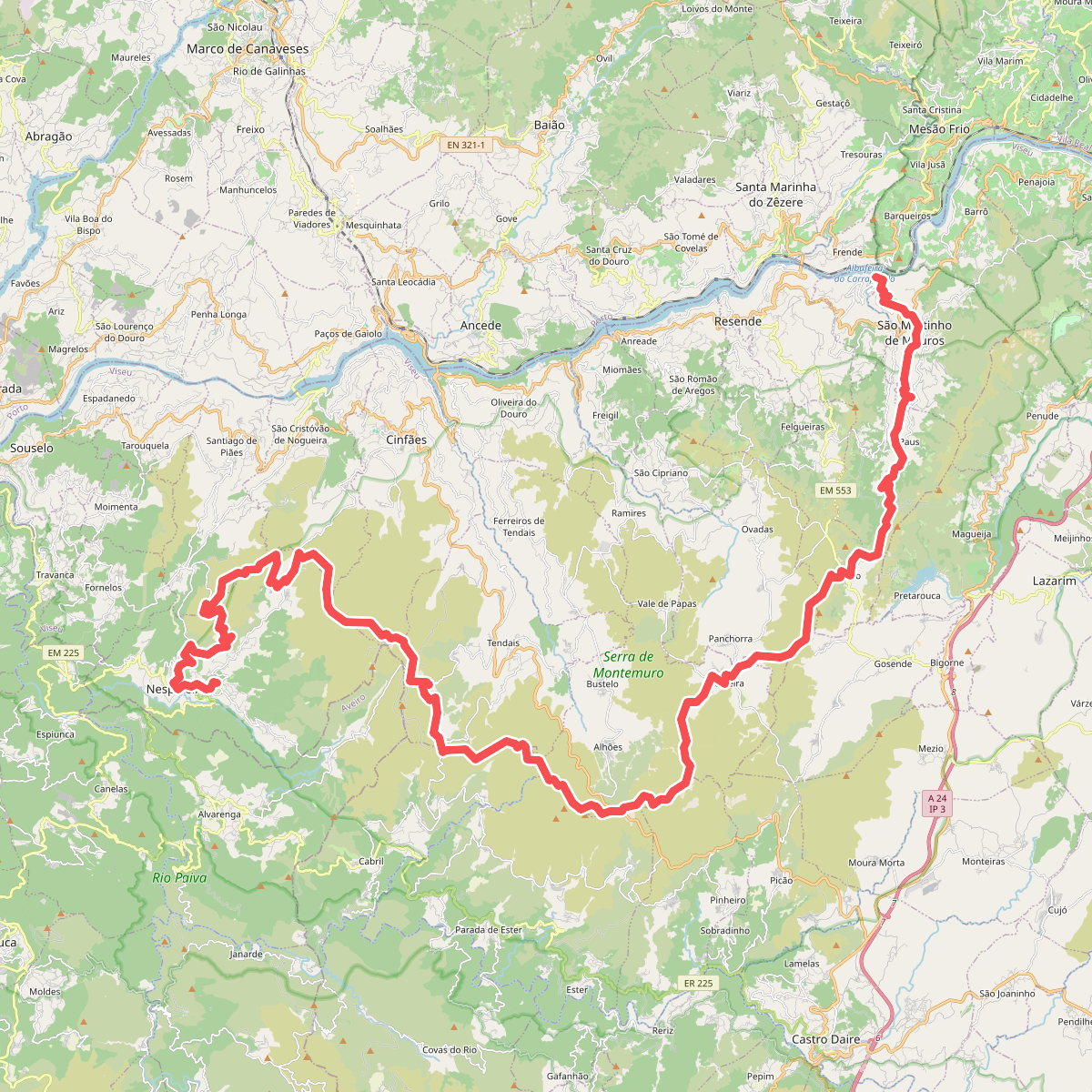
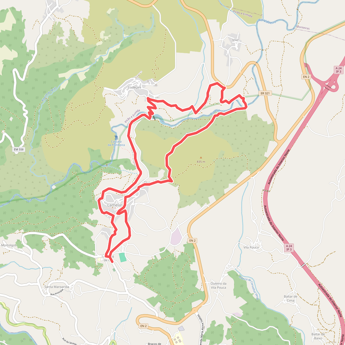
Discover the best walks in Serra de Montemuro. 2 routes on the map, with descriptions, photos and GPX.
Managed by Instituto da Conservação da Natureza e das Florestas
About Serra de Montemuro
The Serra de Montemuro is a high granite plateau in northern Portugal, situated between the Douro and Vouga rivers. Unlike the jagged peaks of other northern ranges, this landscape is defined by vast, undulating highlands that reach up to 1381 metres. Walkers will find a stark, wind-swept terrain dominated by low scrub, gorse, and massive granite boulders, with very little tree cover on the upper levels.
Read more
About Serra de Montemuro
The Serra de Montemuro is a high granite plateau in northern Portugal, situated between the Douro and Vouga rivers. Unlike the jagged peaks of other northern ranges, this landscape is defined by vast, undulating highlands that reach up to 1381 metres. Walkers will find a stark, wind-swept terrain dominated by low scrub, gorse, and massive granite boulders, with very little tree cover on the upper levels.
Read moreThe Serra de Montemuro is a high granite plateau in northern Portugal, situated between the Douro and Vouga rivers. Unlike the jagged peaks of other northern ranges, this landscape is defined by vast, undulating highlands that reach up to 1381 metres. Walkers will find a stark, wind-swept terrain dominated by low scrub, gorse, and massive granite boulders, with very little tree cover on the upper levels.
Underfoot, the paths vary from rough, stony shepherd tracks to ancient paved stone slabs that connect isolated stone-built hamlets. The higher elevations feature wet peat bogs and damp pastures known as lameiros, which remain green even in late summer due to traditional gravity-fed irrigation channels. These wet meadows contrast sharply with the dry, exposed granite ridges where the soil is thin and sandy.
This is a working pastoral landscape where you will frequently encounter Barrosã cattle and local sheep herds. The lower valleys contain small terraced fields and oak copses, but the high plateau feels remote and exposed. It is a demanding area for navigation, as waymarking is sparse and the open terrain offers no shelter from the elements.