The best hiking routes in Schutz von Landschaftsteilen des Lech und seiner Uferbereiche zwischen Gründl, Gemeinde Prem und Niederwies, Markt Peiting (Bernbeuren, Steingaden, Burggen, Peiting)
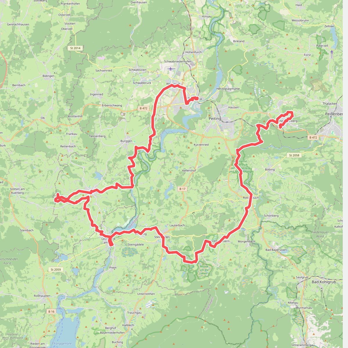
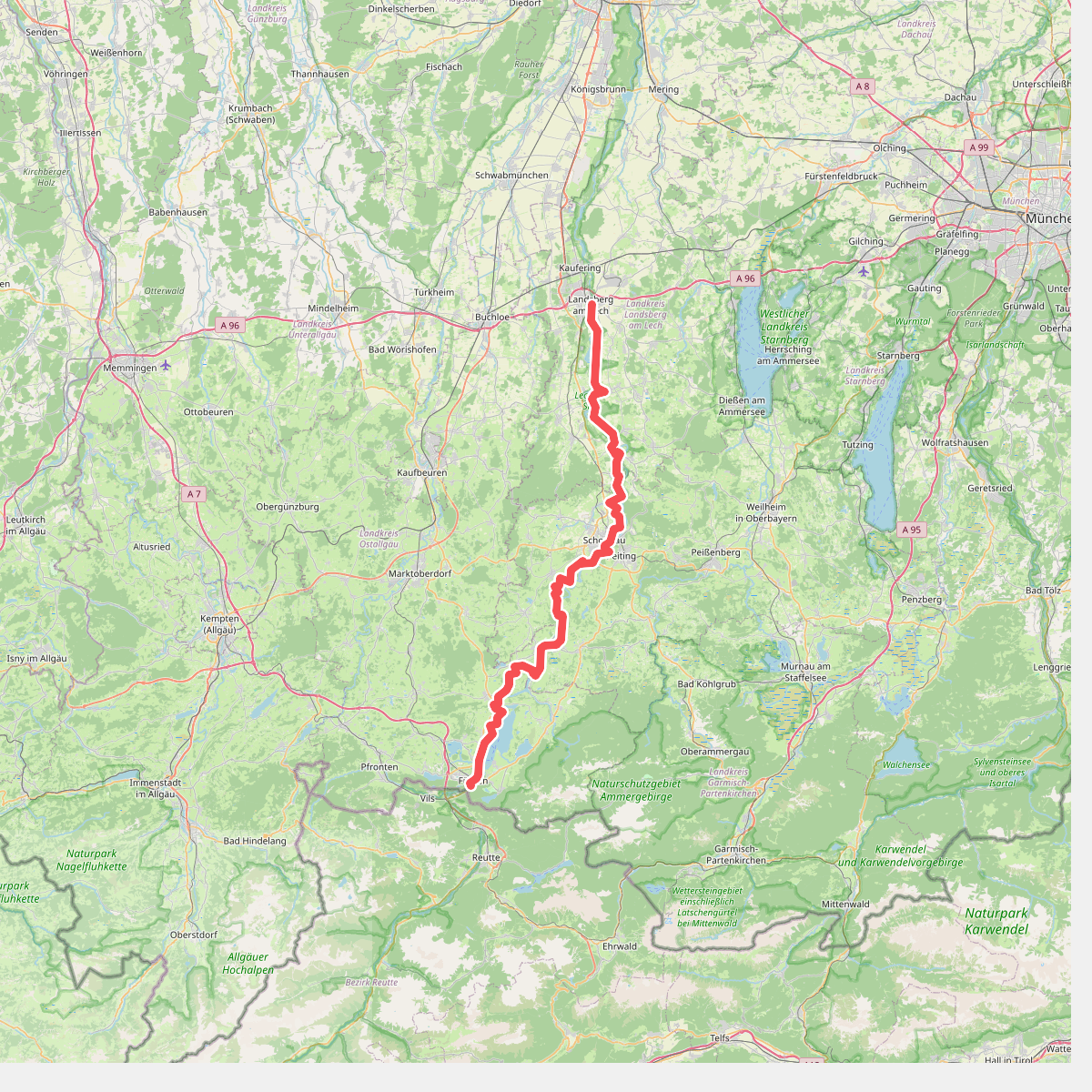
Discover the best walks in Schutz von Landschaftsteilen des Lech und seiner Uferbereiche zwischen Gründl, Gemeinde Prem und Niederwies, Markt Peiting (Bernbeuren, Steingaden, Burggen, Peiting). 2 routes on the map, with descriptions, photos and GPX.
About Schutz von Landschaftsteilen des Lech und seiner Uferbereiche zwischen Gründl, Gemeinde Prem und Niederwies, Markt Peiting (Bernbeuren, Steingaden, Burggen, Peiting)
This protected stretch of the Lech river basin offers a distinct walking landscape shaped by alpine water flow and gravel deposition. Unlike the high-altitude peaks nearby, the terrain here is defined by a wide, shallow riverbed, gravel banks, and low-lying alluvial woodlands. Walkers will notice how the vegetation shifts rapidly from damp willow scrub near the water to dry, pine-dominated heath on the older gravel terraces. The paths are mostly flat, transitioning from soft forest earth to loose, shifting river pebbles that require sturdy footwear.
Read more
About Schutz von Landschaftsteilen des Lech und seiner Uferbereiche zwischen Gründl, Gemeinde Prem und Niederwies, Markt Peiting (Bernbeuren, Steingaden, Burggen, Peiting)
This protected stretch of the Lech river basin offers a distinct walking landscape shaped by alpine water flow and gravel deposition. Unlike the high-altitude peaks nearby, the terrain here is defined by a wide, shallow riverbed, gravel banks, and low-lying alluvial woodlands. Walkers will notice how the vegetation shifts rapidly from damp willow scrub near the water to dry, pine-dominated heath on the older gravel terraces. The paths are mostly flat, transitioning from soft forest earth to loose, shifting river pebbles that require sturdy footwear.
Read moreThis protected stretch of the Lech river basin offers a distinct walking landscape shaped by alpine water flow and gravel deposition. Unlike the high-altitude peaks nearby, the terrain here is defined by a wide, shallow riverbed, gravel banks, and low-lying alluvial woodlands. Walkers will notice how the vegetation shifts rapidly from damp willow scrub near the water to dry, pine-dominated heath on the older gravel terraces. The paths are mostly flat, transitioning from soft forest earth to loose, shifting river pebbles that require sturdy footwear.
The character of the landscape is driven by the seasonal flow of the Lech. In June, high water levels from alpine snowmelt submerge the lower gravel bars, while late summer reveals wide stony beaches and exposed limestone rocks. The underfoot conditions vary from packed dirt tracks along the high banks to rough, stony sections where the path meets the active floodplain. It is a working river landscape, where fallen trees and gravel drifts are left to shift naturally with the current.
This area is ideal for those who prefer quiet, close-up observation of river dynamics over panoramic mountain views. While the main trails near the bridges can see regular local foot traffic, the longer paths winding through the pine forests and along the secondary channels offer a more solitary experience. There are no steep climbs or dramatic gorges here, only a gently undulating river corridor where the sound of moving water and the crunch of limestone gravel underfoot accompany every step.