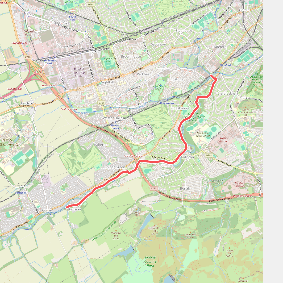
The best hiking routes in Pentland Hills Regional Park
Discover the best walks in Pentland Hills Regional Park. 8 routes on the map, with descriptions, photos and GPX.
About Pentland Hills Regional Park
Pentland Hills Regional Park offers a landscape of rounded, grassy ridges and steep-sided glens directly southwest of Edinburgh. Unlike the rugged Highlands further north, this area consists of gentler, heather-clad slopes and open moorland. Walkers can choose between low-level paths along reservoirs like Glencorse and Loganlea, or steeper climbs up summits such as Scald Law and Carnethy Hill. The terrain is a mix of sheep pasture, commercial forestry plantations, and exposed peat hags on the higher tops.
Read more
About Pentland Hills Regional Park
Pentland Hills Regional Park offers a landscape of rounded, grassy ridges and steep-sided glens directly southwest of Edinburgh. Unlike the rugged Highlands further north, this area consists of gentler, heather-clad slopes and open moorland. Walkers can choose between low-level paths along reservoirs like Glencorse and Loganlea, or steeper climbs up summits such as Scald Law and Carnethy Hill. The terrain is a mix of sheep pasture, commercial forestry plantations, and exposed peat hags on the higher tops.
Read morePentland Hills Regional Park offers a landscape of rounded, grassy ridges and steep-sided glens directly southwest of Edinburgh. Unlike the rugged Highlands further north, this area consists of gentler, heather-clad slopes and open moorland. Walkers can choose between low-level paths along reservoirs like Glencorse and Loganlea, or steeper climbs up summits such as Scald Law and Carnethy Hill. The terrain is a mix of sheep pasture, commercial forestry plantations, and exposed peat hags on the higher tops.
Underfoot, the paths vary significantly depending on where you walk. The lower valley tracks are often wide, gravelled, and easy to follow, while the higher ridges feature narrow, eroded peat paths that can be soft and boggy. Some steeper sections have been reinforced with stone steps to prevent erosion, but many of the quieter hill crossings remain rough and unmarked. Heather moorland dominates the eastern slopes, while the western side of the range features more open, grassy grazing land.
This landscape is heavily shaped by water management and hill farming, which you will see in the form of drystone dykes, active sheep pens, and the chain of reservoirs nestled in the glens. In August, the hillsides turn a deep purple as the heather blooms across the high moors. While the peaks are not high alpine summits, they are exposed to the elements, and the transition from sheltered valley woods to open, windswept ridge is rapid.
Hiking routes in Pentland Hills Regional Park (8)
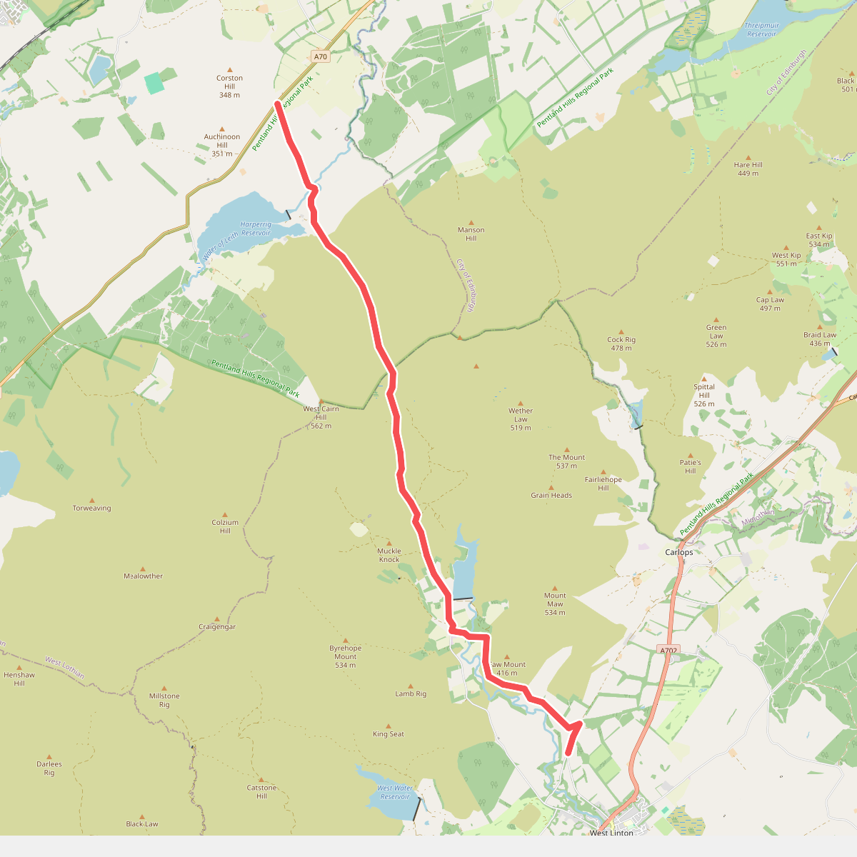
#1. Cross Borders Drove Road (Harperrig to West Linton)
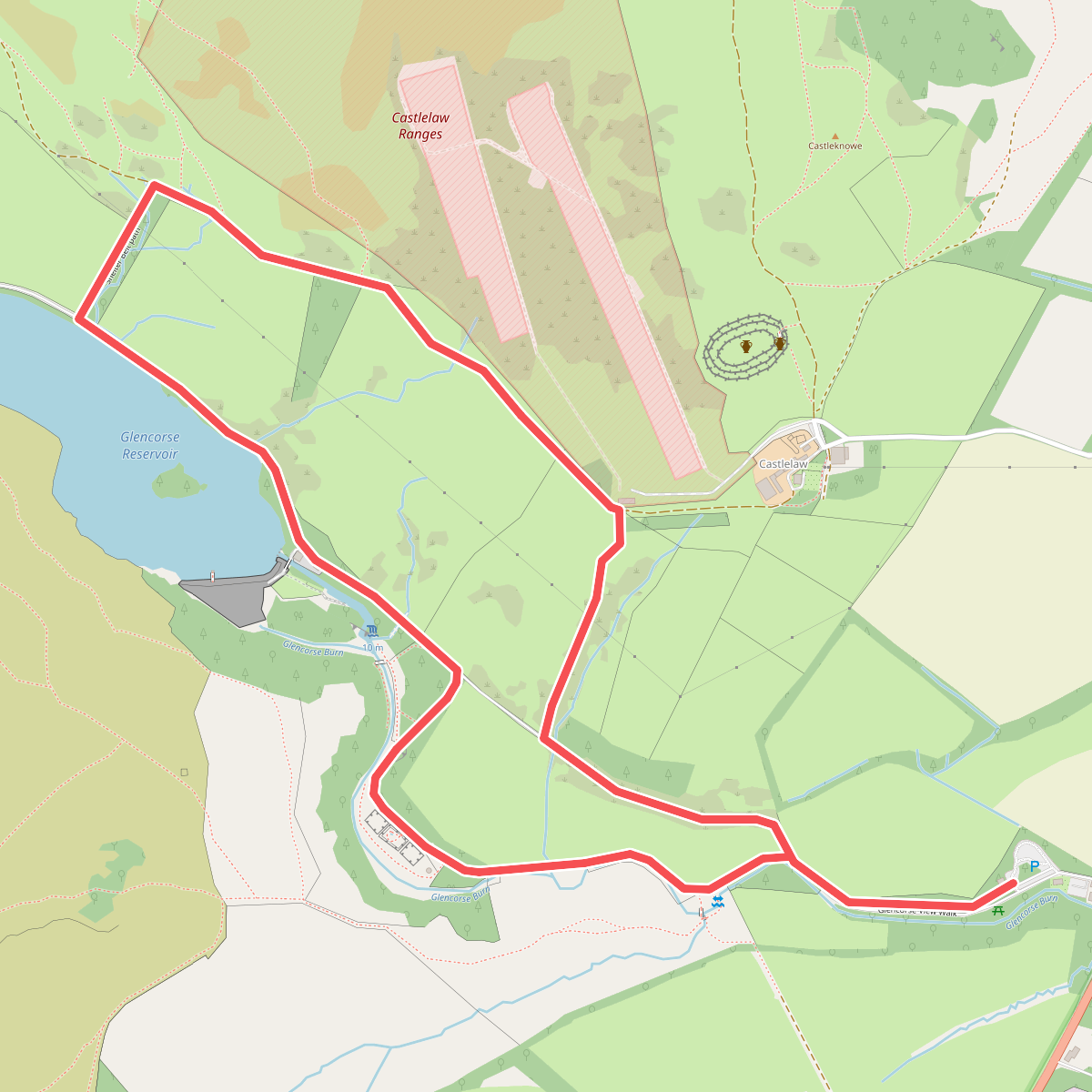
#2. Glencorse View Walk
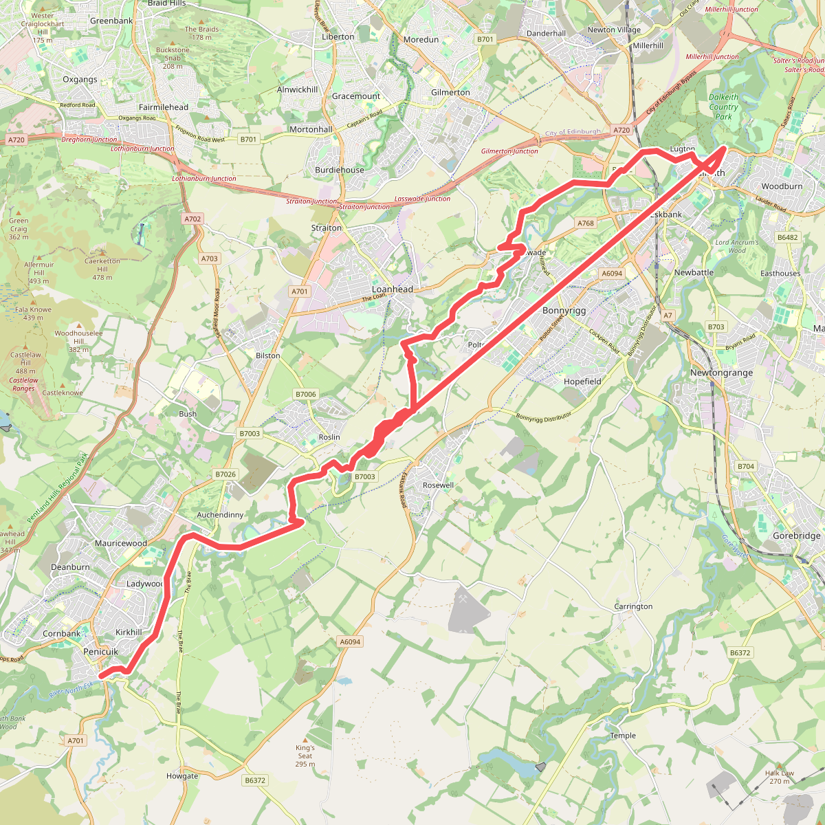
#3. North Esk Way
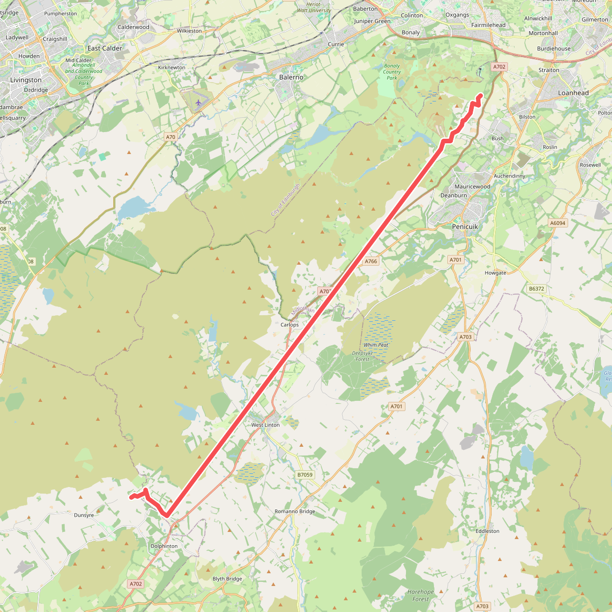
#4. Pentland Way (Alternative)
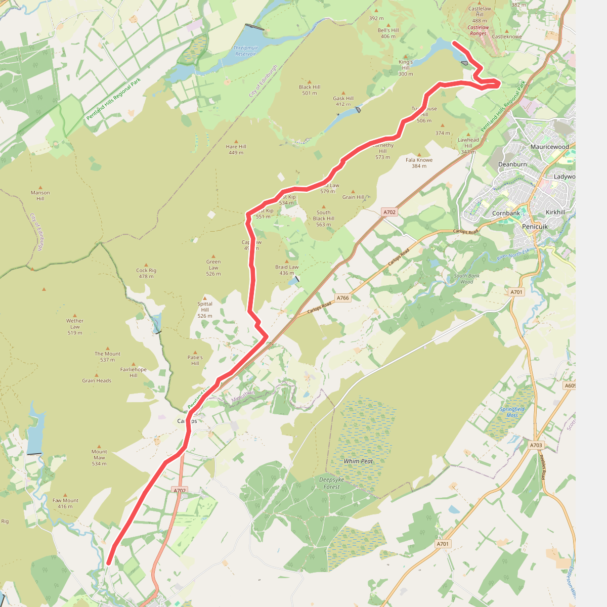
#5. Pentland Way (Cross Borders Drove Road to Glencorse Reservoir)
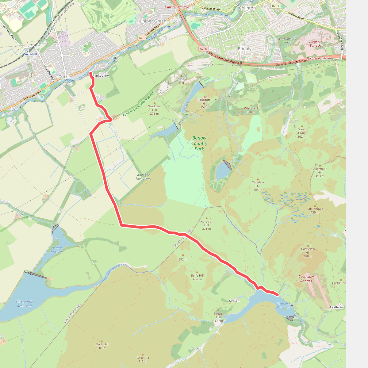
#6. Pentland Way E2 Link
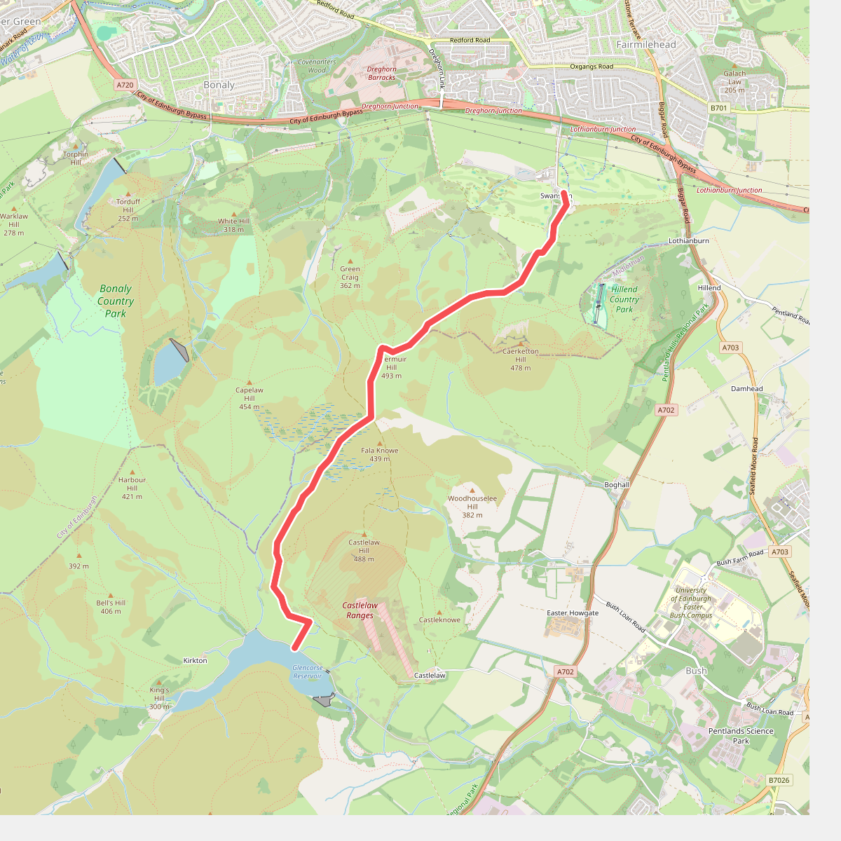
#7. Pentland Way (Glencorse Reservoir to Swanston)