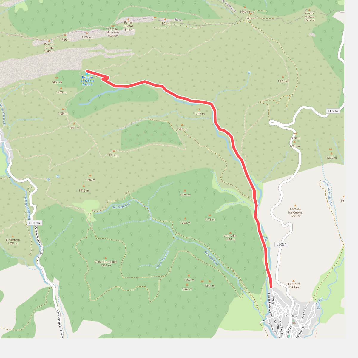
The best hiking routes in Parque Regional de la Montaña de Riaño y Mampodre
Discover the best walks in Parque Regional de la Montaña de Riaño y Mampodre. 45 routes on the map, with descriptions, photos and GPX.
About Parque Regional de la Montaña de Riaño y Mampodre
Parque Regional de la Montaña de Riaño y Mampodre offers a rugged limestone landscape in northern Spain, characterized by sharp peaks rising abruptly above deep green valleys and reservoir waters. Unlike the smoother granite ranges nearby, the terrain here is defined by stark, pale limestone massifs, particularly the Mampodre massif and the peaks surrounding the Riaño reservoir. Walkers will find a stark contrast between the exposed, rocky high-altitude trails and the dense beech and oak forests that cover the lower slopes.
Read more
About Parque Regional de la Montaña de Riaño y Mampodre
Parque Regional de la Montaña de Riaño y Mampodre offers a rugged limestone landscape in northern Spain, characterized by sharp peaks rising abruptly above deep green valleys and reservoir waters. Unlike the smoother granite ranges nearby, the terrain here is defined by stark, pale limestone massifs, particularly the Mampodre massif and the peaks surrounding the Riaño reservoir. Walkers will find a stark contrast between the exposed, rocky high-altitude trails and the dense beech and oak forests that cover the lower slopes.
Read moreParque Regional de la Montaña de Riaño y Mampodre offers a rugged limestone landscape in northern Spain, characterized by sharp peaks rising abruptly above deep green valleys and reservoir waters. Unlike the smoother granite ranges nearby, the terrain here is defined by stark, pale limestone massifs, particularly the Mampodre massif and the peaks surrounding the Riaño reservoir. Walkers will find a stark contrast between the exposed, rocky high-altitude trails and the dense beech and oak forests that cover the lower slopes.
Underfoot, the paths vary from soft forest loam and pasture tracks in the valleys to loose limestone scree and sharp rock on the higher ridges. Navigating the upper sections often requires scrambling over bare rock without clear trail markings, while the lower valley walks follow established agricultural tracks. The presence of the large reservoir alters the local geography, creating steep shoreline cliffs that force trails to climb quickly into the surrounding hills rather than following flat water edges.
In late spring, around May and June, the melting snow reveals high mountain pastures filled with alpine flowers, while the beech forests provide deep shade by midsummer. This is a demanding landscape where flat walking is rare; most routes involve significant elevation gain. It lacks the extensive cable car infrastructure of busier neighboring massifs, meaning walkers must rely entirely on their own climbing to reach the panoramic limestone summits.
Hiking routes in Parque Regional de la Montaña de Riaño y Mampodre (45)
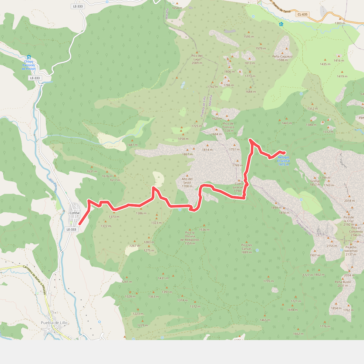
#1. Acampada de la Manada Kanhiwara
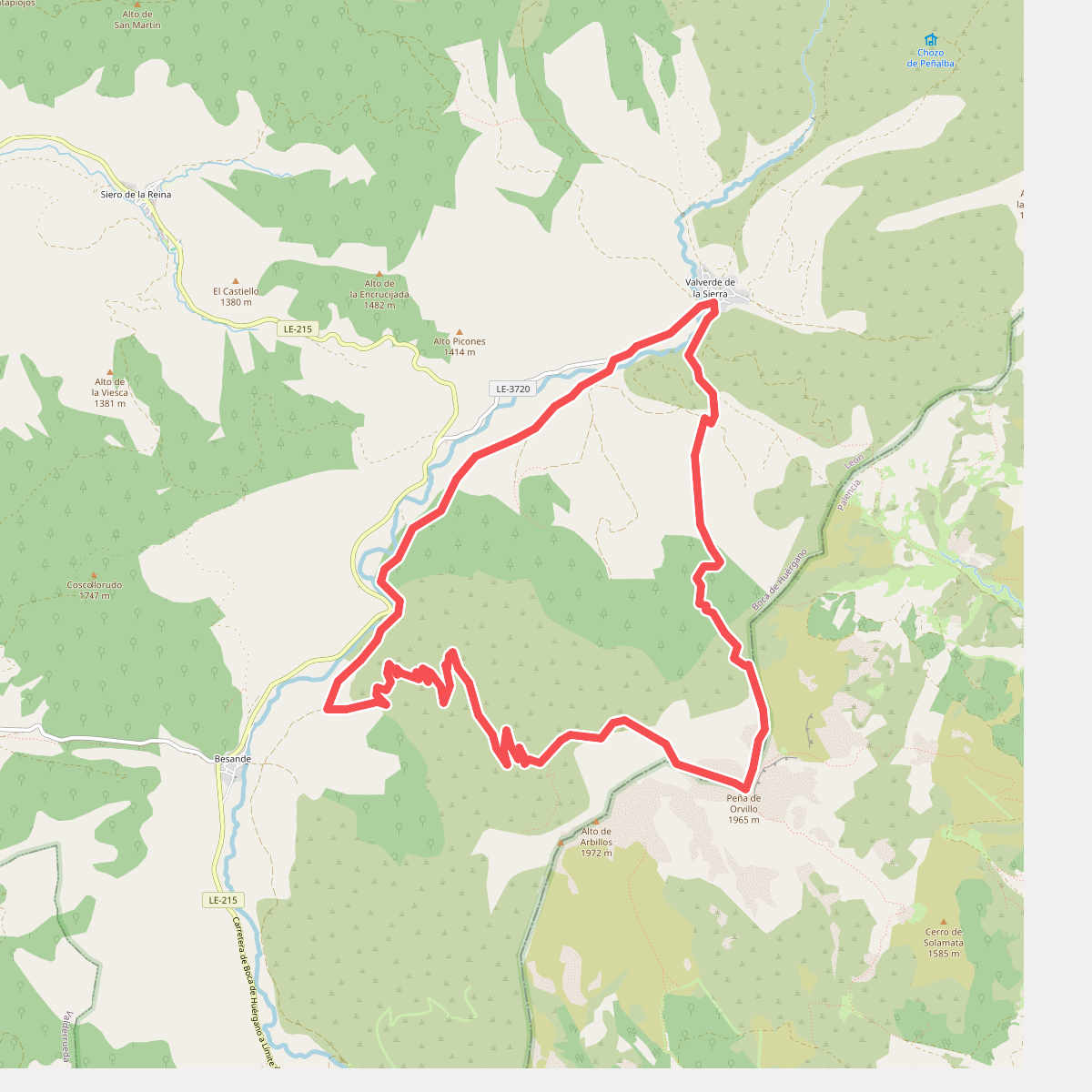
#2. Arbillos
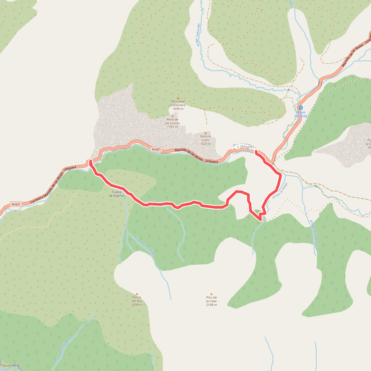
#3. Arroyo de Orpiñas
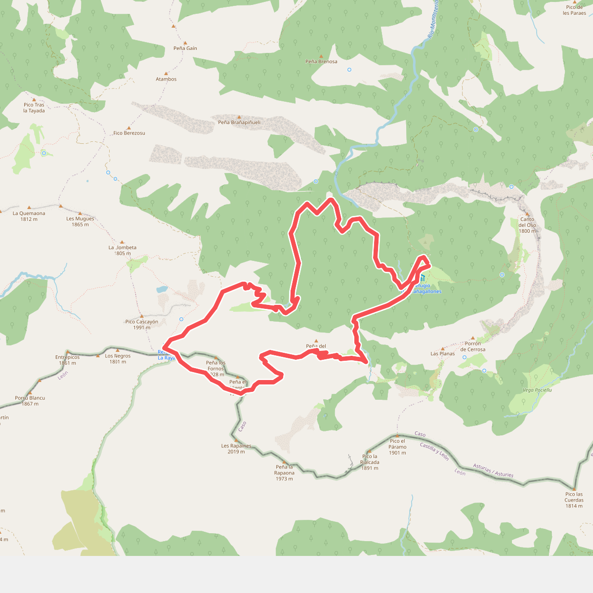
#4. Brañagallones - La Peña'l Vientu
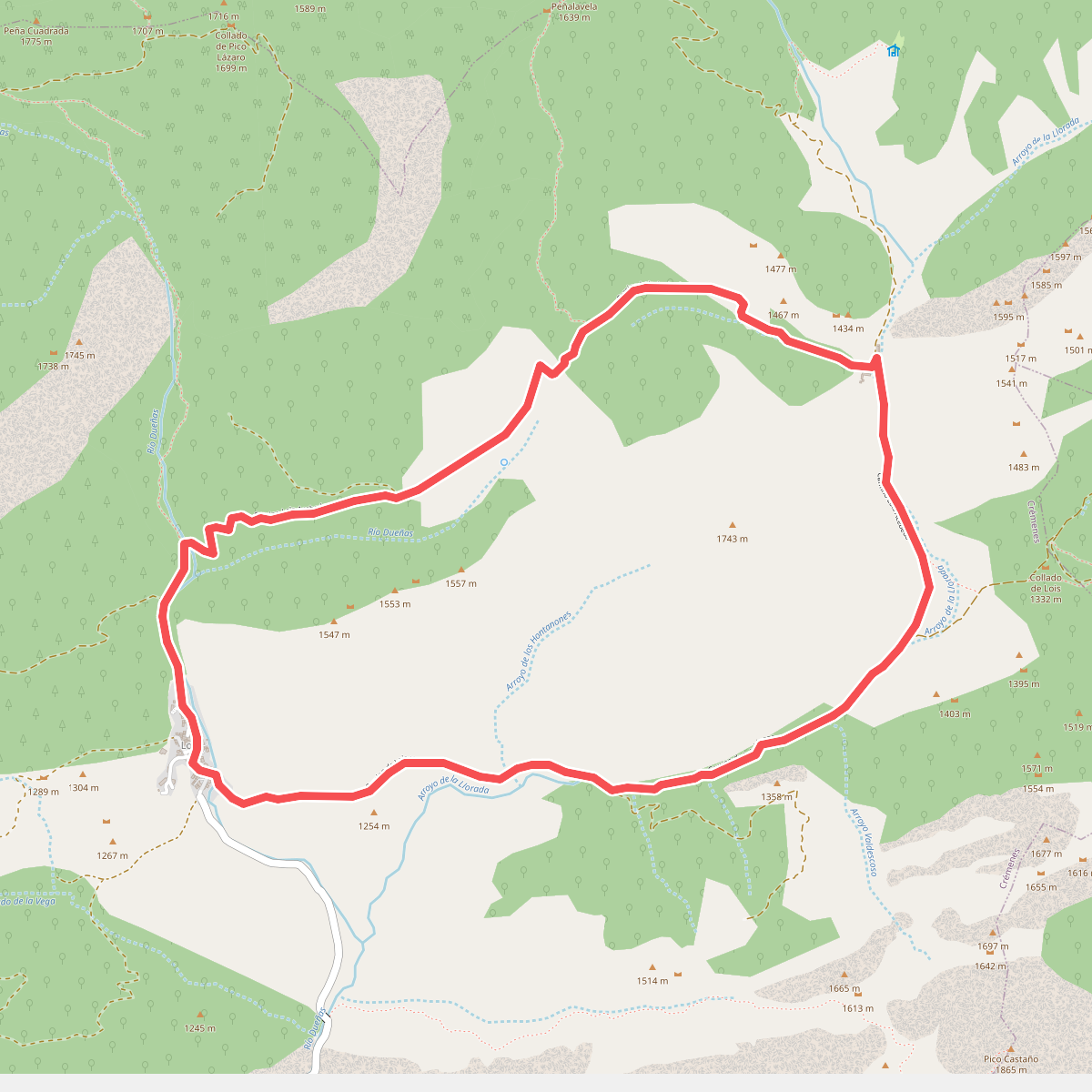
#5. Camino de Llorada
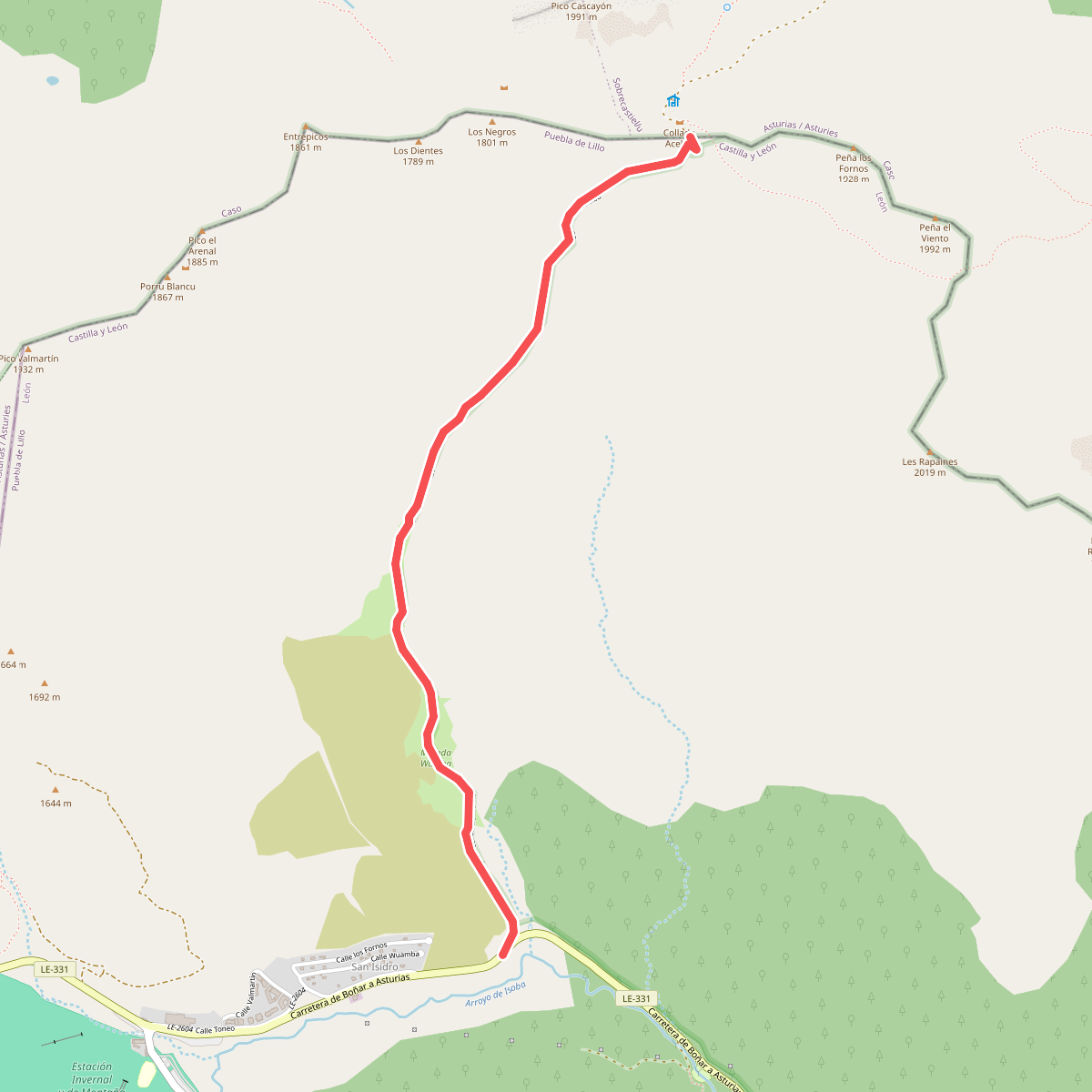
#6. Camino de Wamba
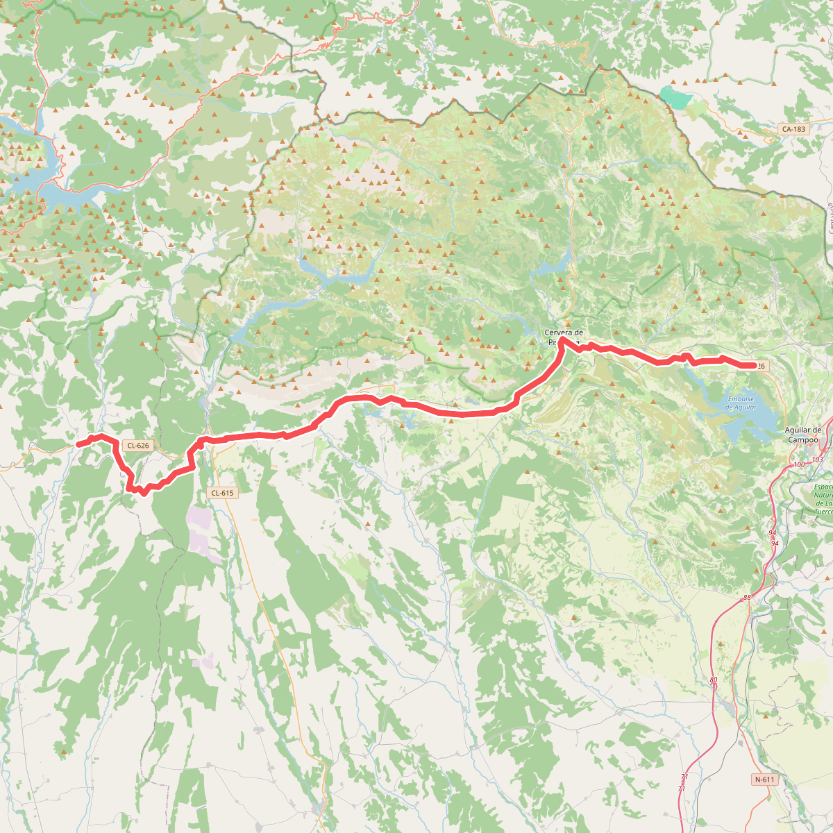
#7. Camino Olvidado (Matamorisca-Puente Almuhey)
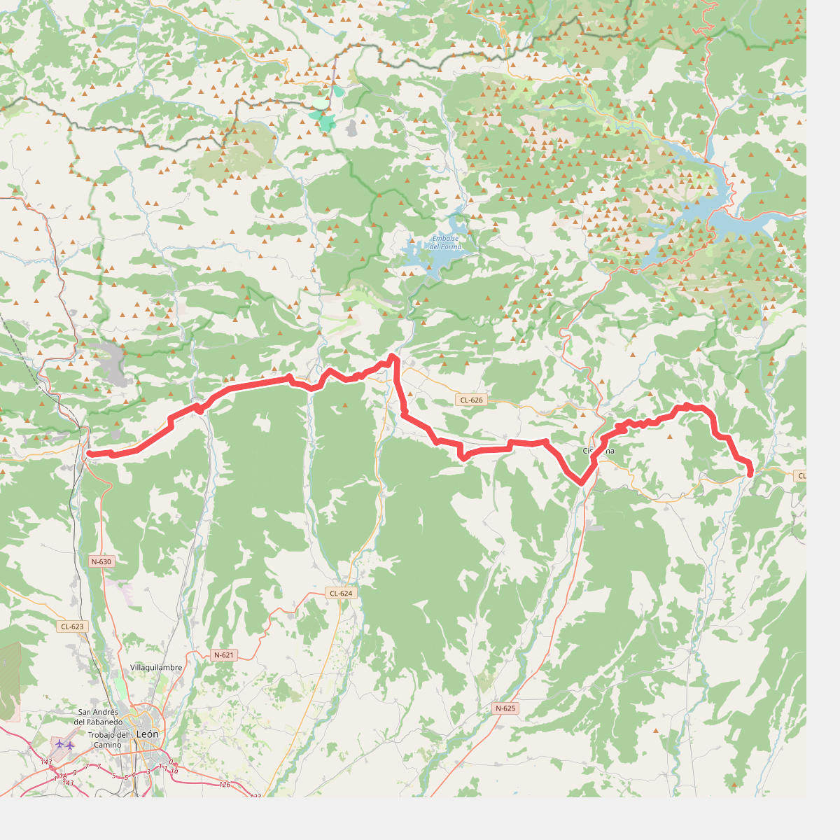
#8. Camino Olvidado (Puente Almuhey-La Robla)
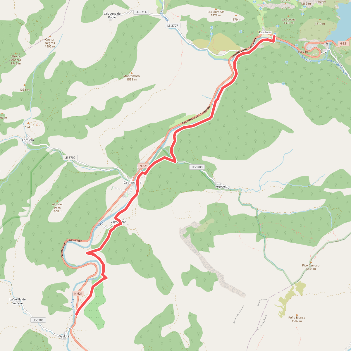
#9. Camino Real
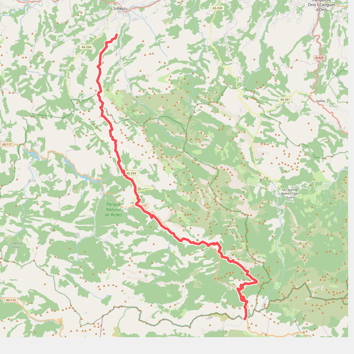
#10. Camino real del Sellón
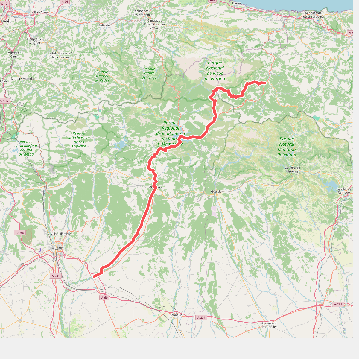
#11. Camino Vadiniense