

The best hiking routes in Parque Natural Sierra de Huétor
Discover the best walks in Parque Natural Sierra de Huétor. 17 routes on the map, with descriptions, photos and GPX.
About Parque Natural Sierra de Huétor
Parque Natural Sierra de Huétor offers a rugged limestone landscape characterized by mid-altitude mountains, deep ravines, and extensive pine forests, located just northeast of Granada. Unlike the high, barren alpine terrain of the neighboring Sierra Nevada, this area is defined by its dense Mediterranean woodland, where Aleppo and maritime pines mix with holm oaks and gall oaks. Walkers will notice a stark contrast between the dry, exposed limestone crags and the lush, shaded valleys watered by natural springs, such as the Fuente de la Teja.
Read more
About Parque Natural Sierra de Huétor
Parque Natural Sierra de Huétor offers a rugged limestone landscape characterized by mid-altitude mountains, deep ravines, and extensive pine forests, located just northeast of Granada. Unlike the high, barren alpine terrain of the neighboring Sierra Nevada, this area is defined by its dense Mediterranean woodland, where Aleppo and maritime pines mix with holm oaks and gall oaks. Walkers will notice a stark contrast between the dry, exposed limestone crags and the lush, shaded valleys watered by natural springs, such as the Fuente de la Teja.
Read moreParque Natural Sierra de Huétor offers a rugged limestone landscape characterized by mid-altitude mountains, deep ravines, and extensive pine forests, located just northeast of Granada. Unlike the high, barren alpine terrain of the neighboring Sierra Nevada, this area is defined by its dense Mediterranean woodland, where Aleppo and maritime pines mix with holm oaks and gall oaks. Walkers will notice a stark contrast between the dry, exposed limestone crags and the lush, shaded valleys watered by natural springs, such as the Fuente de la Teja.
Underfoot, the trails vary from wide, hard-packed forestry tracks to narrow, stony paths littered with loose limestone debris and pine needles. The karst geology is visible everywhere, featuring sinkholes, caves, and dramatic rock formations shaped by water erosion. While some routes follow gentle gradients along valley floors, others climb steeply up limestone ridges, requiring careful footing on uneven, rocky ground.
In late spring, particularly around May, the undergrowth comes alive with flowering rosemary, thyme, and gorse, filling the air with herbal scents. The park is generally quieter than its famous southern neighbor, though popular trailheads near visitor centers can see more activity on weekends. It is an ideal destination for those seeking shaded woodland walks and limestone scenery without the extreme altitudes or steep, exposed scree slopes of the high peaks.
Hiking routes in Parque Natural Sierra de Huétor (17)
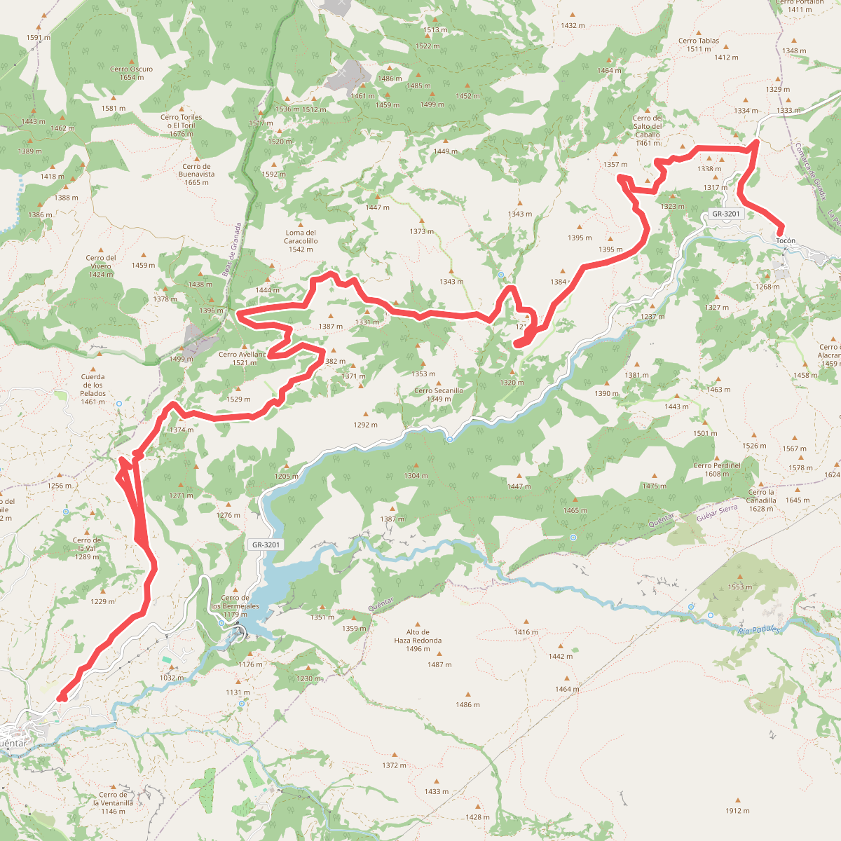
#1. B3 Quéntar - Tocón
Quéntar
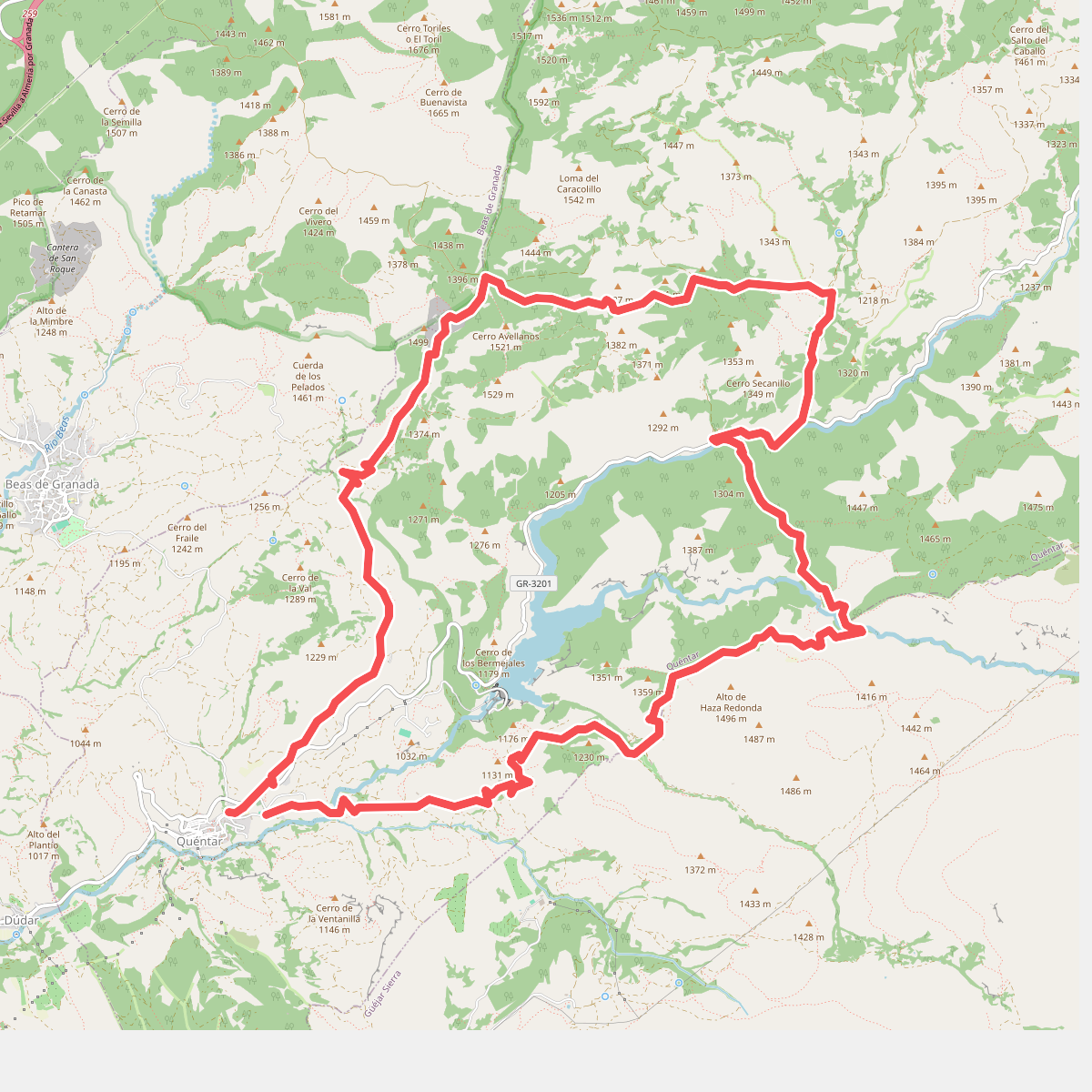
#2. B4 Quéntar - Aguas Blancas - Cuevas - Quéntar
Quéntar,Güéjar Sierra
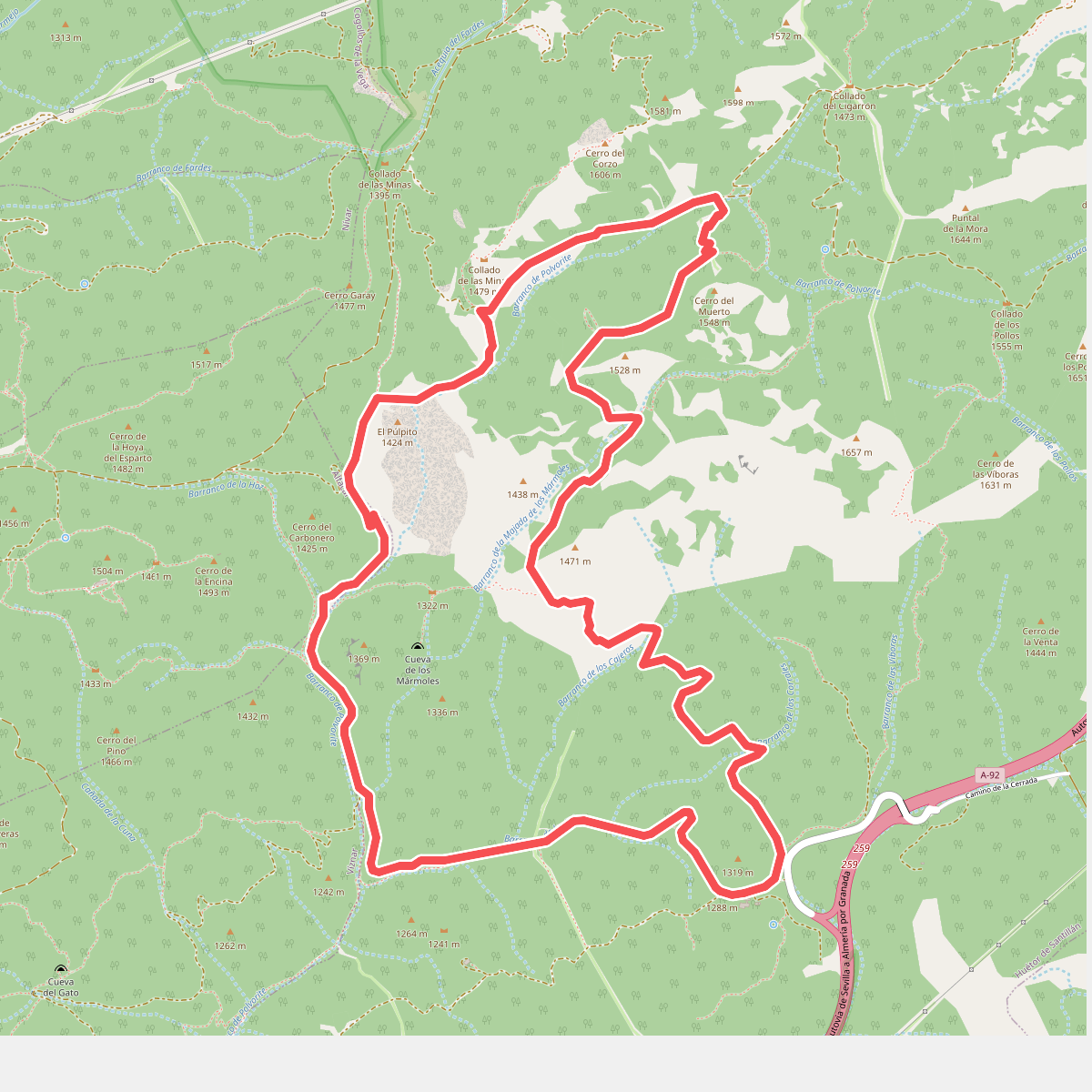
#3. Cañada del Sereno
Alfacar,Víznar,Huétor de Santillán
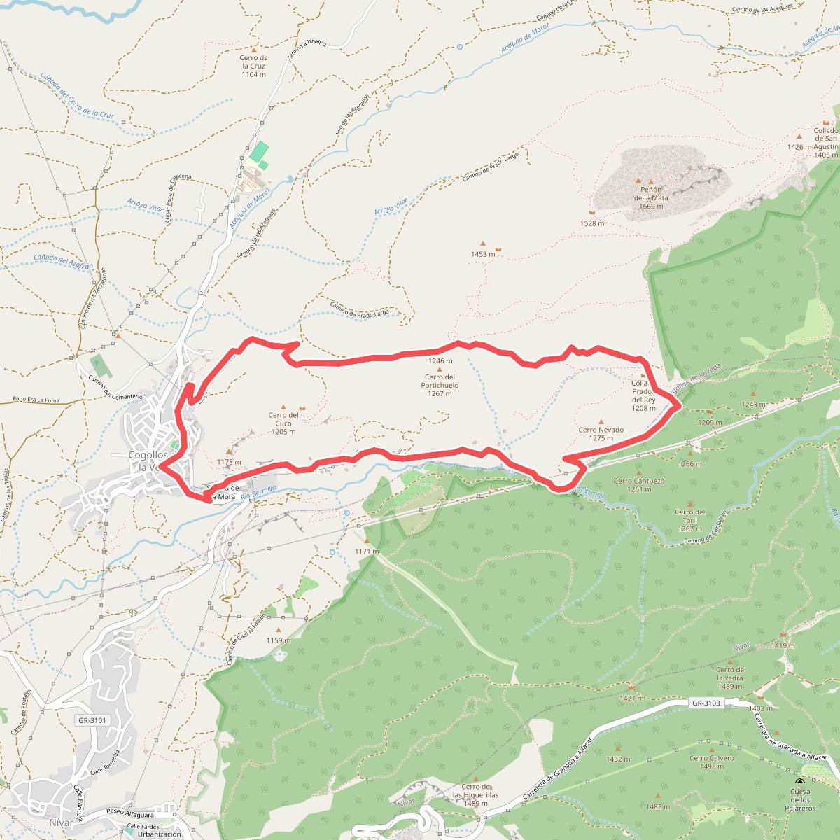
#4. Collado de los Prados del Rey
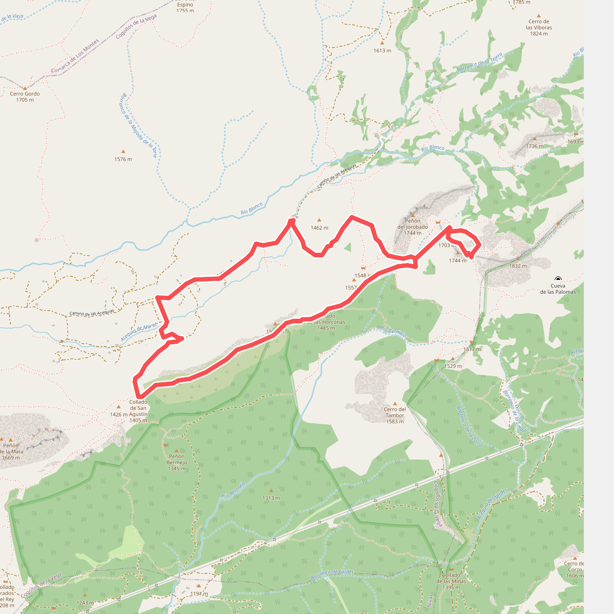
#5. Collado de San Agustín - Majalijar
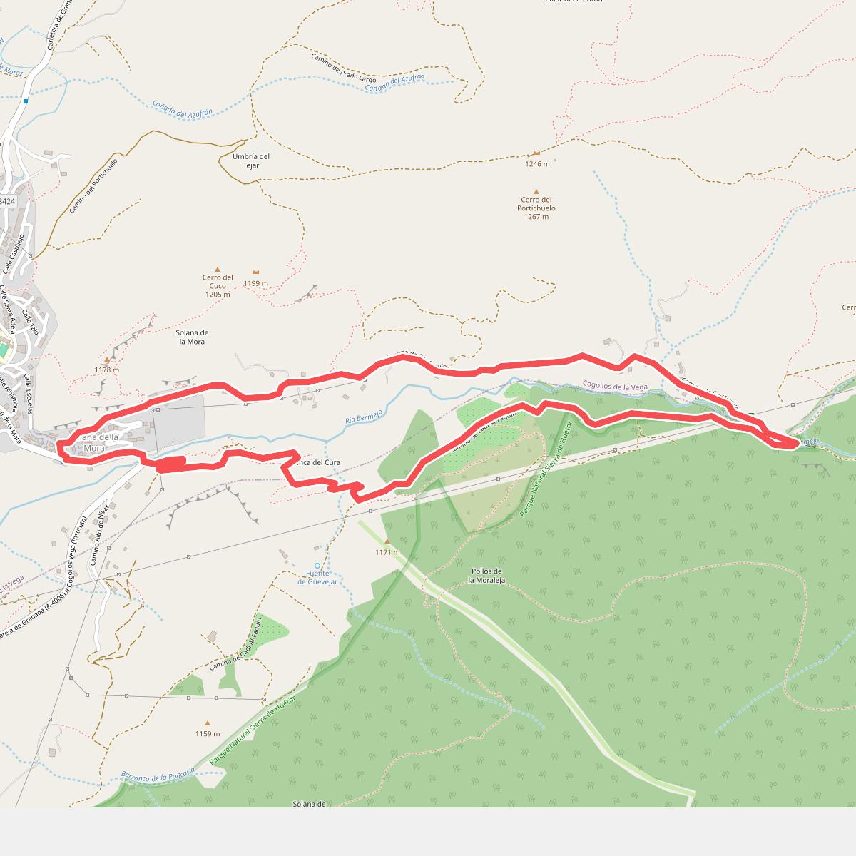
#6. Cortijo Finca del Cura
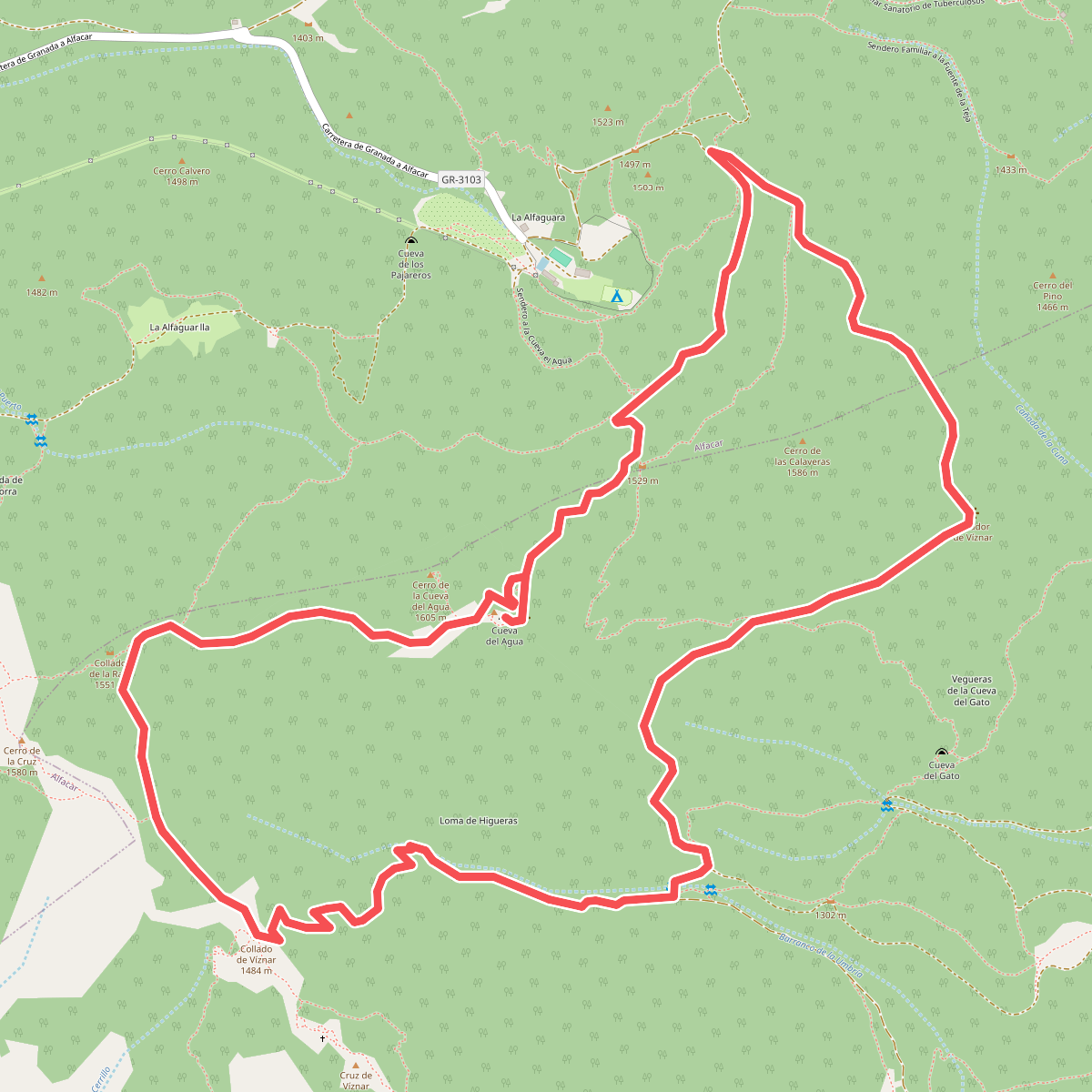
#7. Cueva del Agua
Alfacar,Víznar
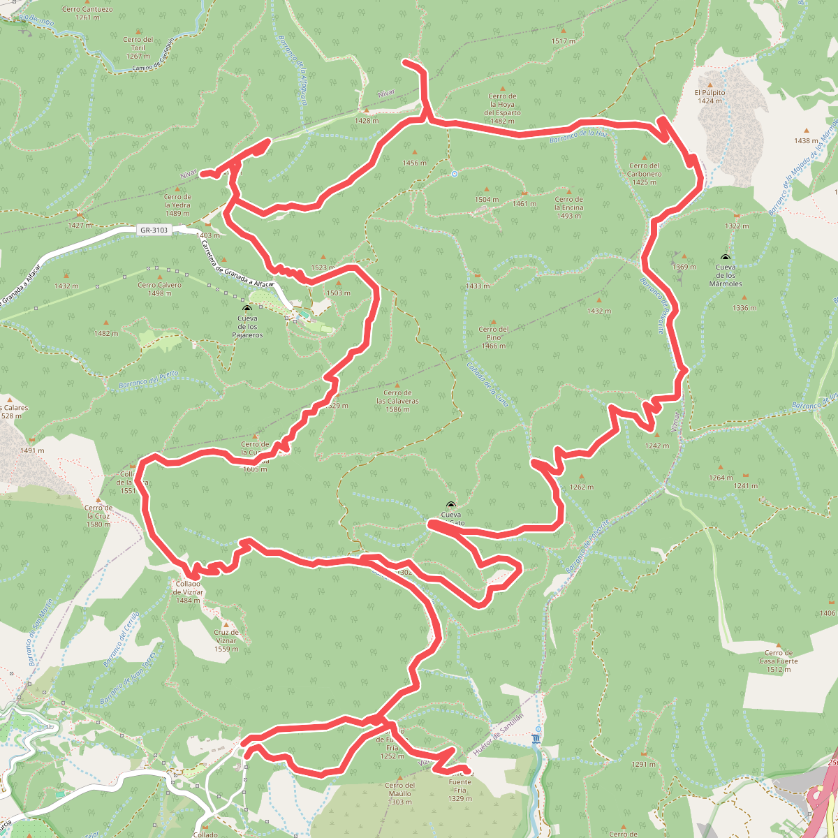
#8. Itinerario de las Trincheras
Víznar,Huétor de Santillán,Alfacar,Nívar
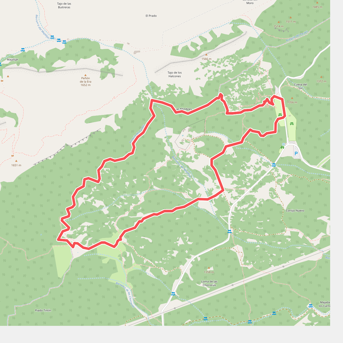
#9. Las Mimbres
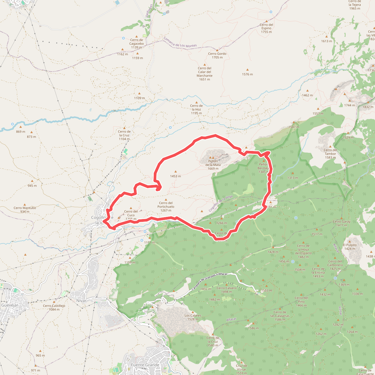
#10. Prado Largo - Carifaquín
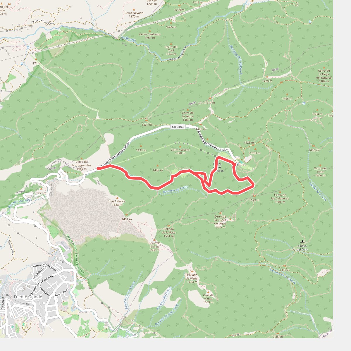
#11. Puerto Alfacar - Alfaguara
Alfacar
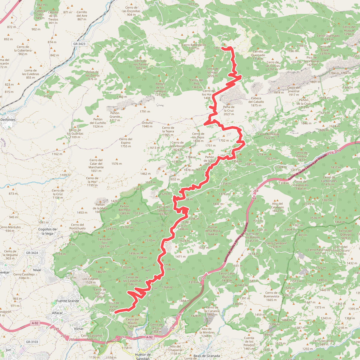
#12. Puerto Lobo - El Sotillo
Víznar,Huétor de Santillán,Alfacar,Iznalloz



