The best hiking routes in Parque Natural Local Vouga — Caramulo (Vouzela)
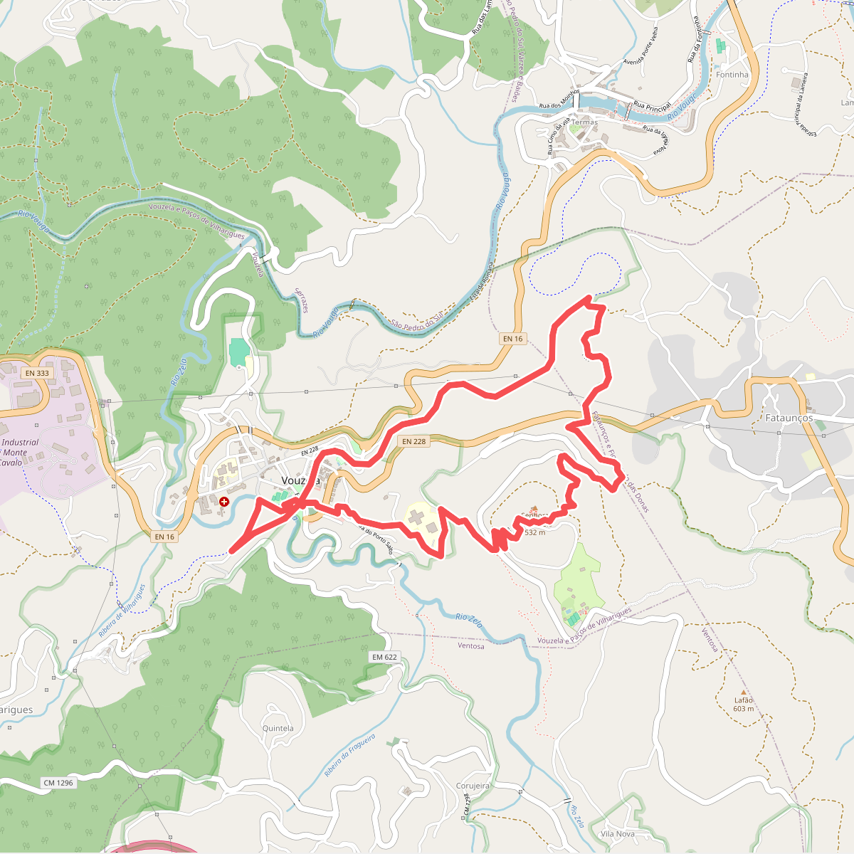
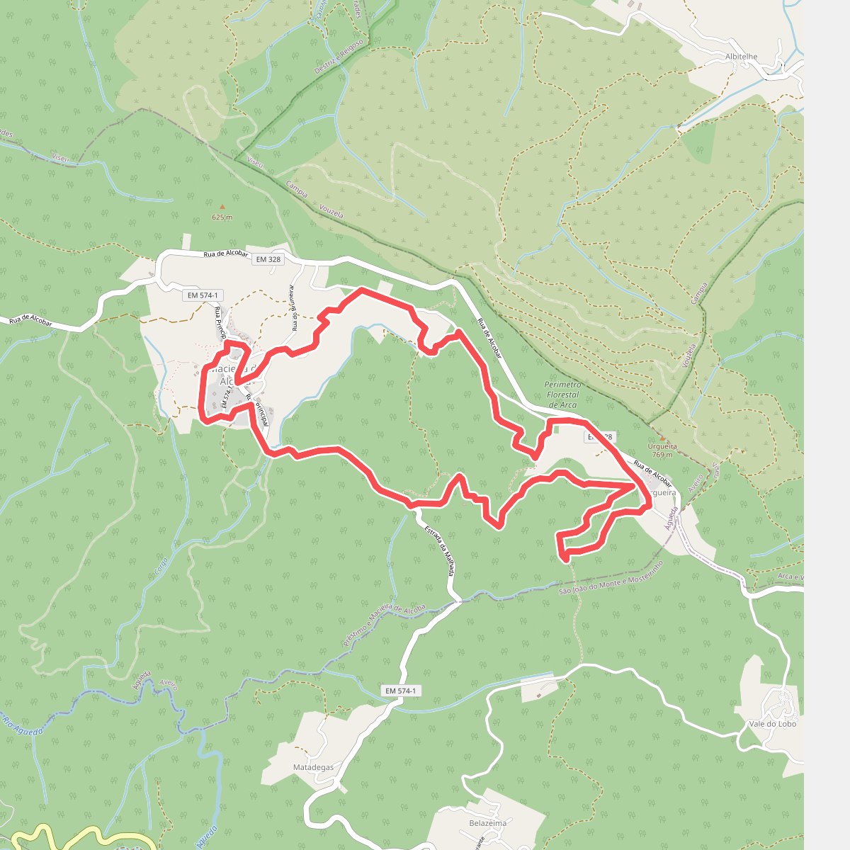
Discover the best walks in Parque Natural Local Vouga — Caramulo (Vouzela). 2 routes on the map, with descriptions, photos and GPX.
Managed by Câmara Municipal de Vouzela
About Parque Natural Local Vouga — Caramulo (Vouzela)
Parque Natural Local Vouga - Caramulo (Vouzela) offers a transition between the fertile river basin of the Vouga and the granite slopes of the Caramulo mountain range. Walkers here will find a landscape shaped by traditional agriculture, where terraced fields and ancient oak forests meet exposed granite outcrops. The lower sections near the rivers feature dense riparian vegetation and old watermills, while the higher elevations transition into scrubland dominated by gorse and heather.
Read more
About Parque Natural Local Vouga — Caramulo (Vouzela)
Parque Natural Local Vouga - Caramulo (Vouzela) offers a transition between the fertile river basin of the Vouga and the granite slopes of the Caramulo mountain range. Walkers here will find a landscape shaped by traditional agriculture, where terraced fields and ancient oak forests meet exposed granite outcrops. The lower sections near the rivers feature dense riparian vegetation and old watermills, while the higher elevations transition into scrubland dominated by gorse and heather.
Read moreParque Natural Local Vouga - Caramulo (Vouzela) offers a transition between the fertile river basin of the Vouga and the granite slopes of the Caramulo mountain range. Walkers here will find a landscape shaped by traditional agriculture, where terraced fields and ancient oak forests meet exposed granite outcrops. The lower sections near the rivers feature dense riparian vegetation and old watermills, while the higher elevations transition into scrubland dominated by gorse and heather.
Underfoot, the paths vary from damp, earth-packed tracks along the riverbanks to rocky, uneven granite paths as you ascend the hillsides. Some sections follow historic stone-paved lanes, known as caminhos paroquiais, which can be slippery when wet. Unlike flatter coastal reserves, this park requires navigating moderate elevation gains, though it lacks the sheer cliffs or high-altitude alpine terrain found in larger mountain ranges.
The landscape reflects centuries of human interaction, visible in the dry-stone walls enclosing pastures and the traditional irrigation channels, or levadas, running alongside the trails. Deciduous oaks dominate the sheltered valleys, providing deep shade that contrasts with the open, wind-exposed granite plateaus above. It is a working rural landscape where forestry and small-scale farming exist alongside protected natural habitats.