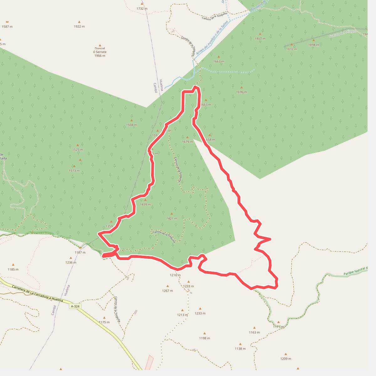
The best hiking routes in Parque Natural de Sierra Mágina
Discover the best walks in Parque Natural de Sierra Mágina. 10 routes on the map, with descriptions, photos and GPX.
About Parque Natural de Sierra Mágina
Parque Natural de Sierra Mágina is a compact, high-altitude limestone massif rising abruptly from the surrounding olive-growing plains of Jaén. Unlike the softer, greener hills nearby, this terrain is defined by stark, grey dolomite cliffs, steep scree slopes, and high karst plateaus. Walkers should expect demanding ascents on loose stone and gravel tracks rather than gentle, dirt-packed forest paths. The vegetation changes rapidly with elevation, shifting from dense pine forests on the lower slopes to specialized, low-growing thorny shrubs and bare rock fields near the summits.
Read more
About Parque Natural de Sierra Mágina
Parque Natural de Sierra Mágina is a compact, high-altitude limestone massif rising abruptly from the surrounding olive-growing plains of Jaén. Unlike the softer, greener hills nearby, this terrain is defined by stark, grey dolomite cliffs, steep scree slopes, and high karst plateaus. Walkers should expect demanding ascents on loose stone and gravel tracks rather than gentle, dirt-packed forest paths. The vegetation changes rapidly with elevation, shifting from dense pine forests on the lower slopes to specialized, low-growing thorny shrubs and bare rock fields near the summits.
Read moreParque Natural de Sierra Mágina is a compact, high-altitude limestone massif rising abruptly from the surrounding olive-growing plains of Jaén. Unlike the softer, greener hills nearby, this terrain is defined by stark, grey dolomite cliffs, steep scree slopes, and high karst plateaus. Walkers should expect demanding ascents on loose stone and gravel tracks rather than gentle, dirt-packed forest paths. The vegetation changes rapidly with elevation, shifting from dense pine forests on the lower slopes to specialized, low-growing thorny shrubs and bare rock fields near the summits.
Water is scarce on the surface of this limestone block. You will not find rushing rivers or lakeside boardwalks here; instead, the landscape is shaped by dry, rocky barrancos and deep sinkholes. The higher elevations, such as the area around Pico Mágina, are exposed and rocky underfoot, requiring careful navigation over uneven limestone pavements. In May and June, these high pastures host rare alpine flora that clings to the crevices, offering a sharp contrast to the barren appearance of the grey rock.
This park is suited for those who prefer rugged, steep climbs and quiet, uncrowded mountain trails. While the lower pine woods offer some shade, the upper routes are completely exposed to the elements. The paths are often marked by stone cairns rather than signposts, demanding basic navigation skills. It is a landscape of sharp vertical transitions, where the transition from cultivated olive groves to wild, rocky mountain terrain happens over just a few kilometers.
Hiking routes in Parque Natural de Sierra Mágina (10)
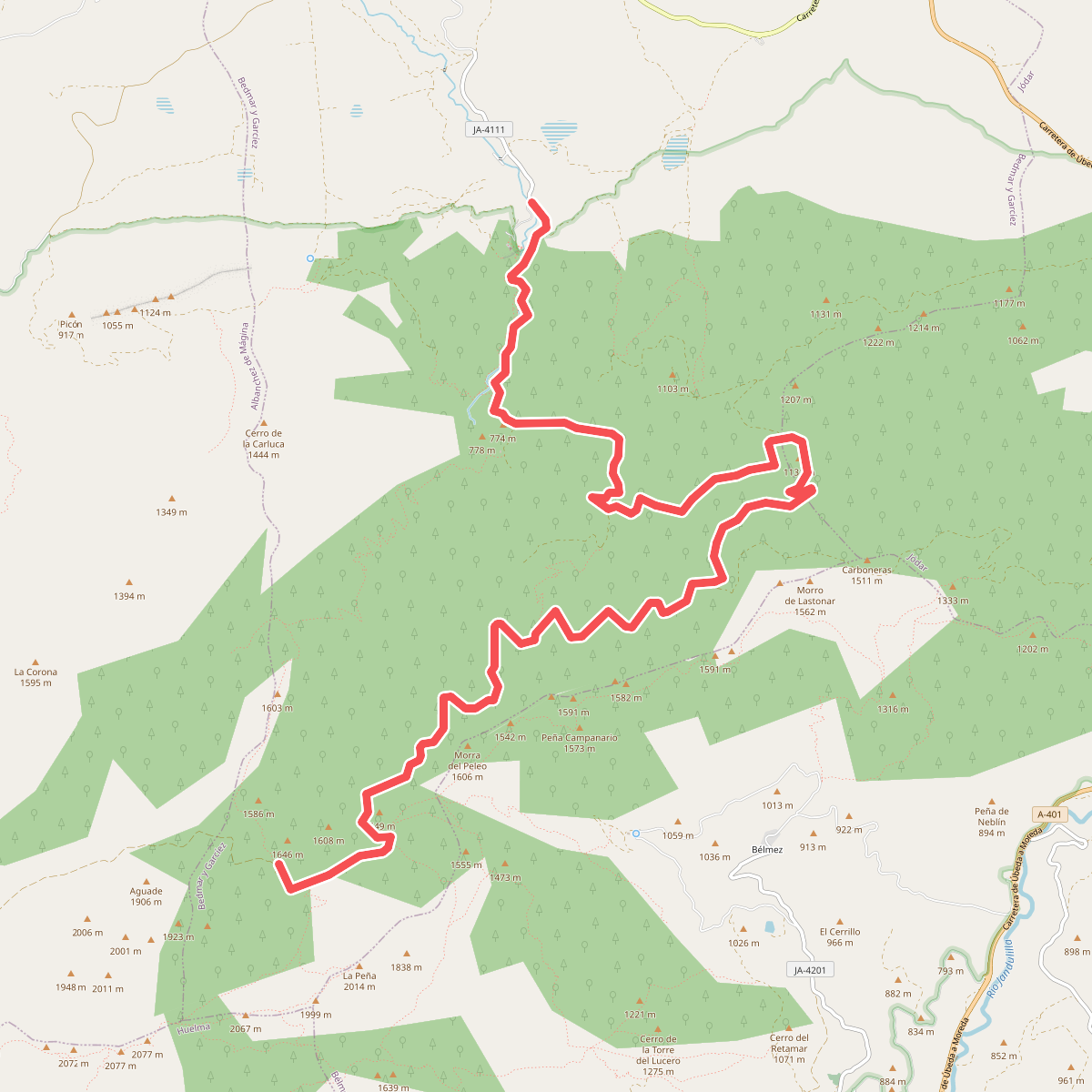
#1. Caño del Aguadero
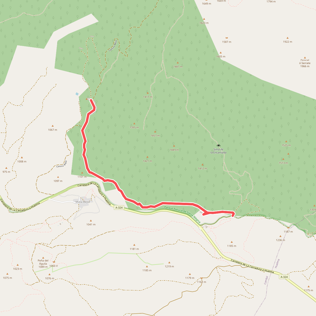
#2. Castillo de Mata Bejid
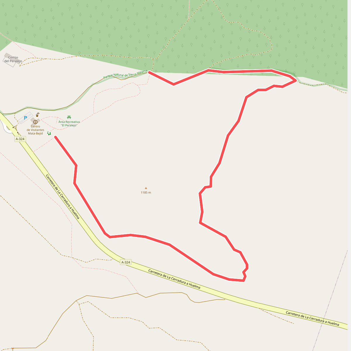
#3. El Peralejo
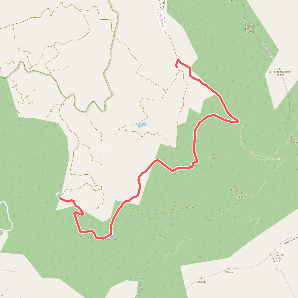
#4. Fuenmayor
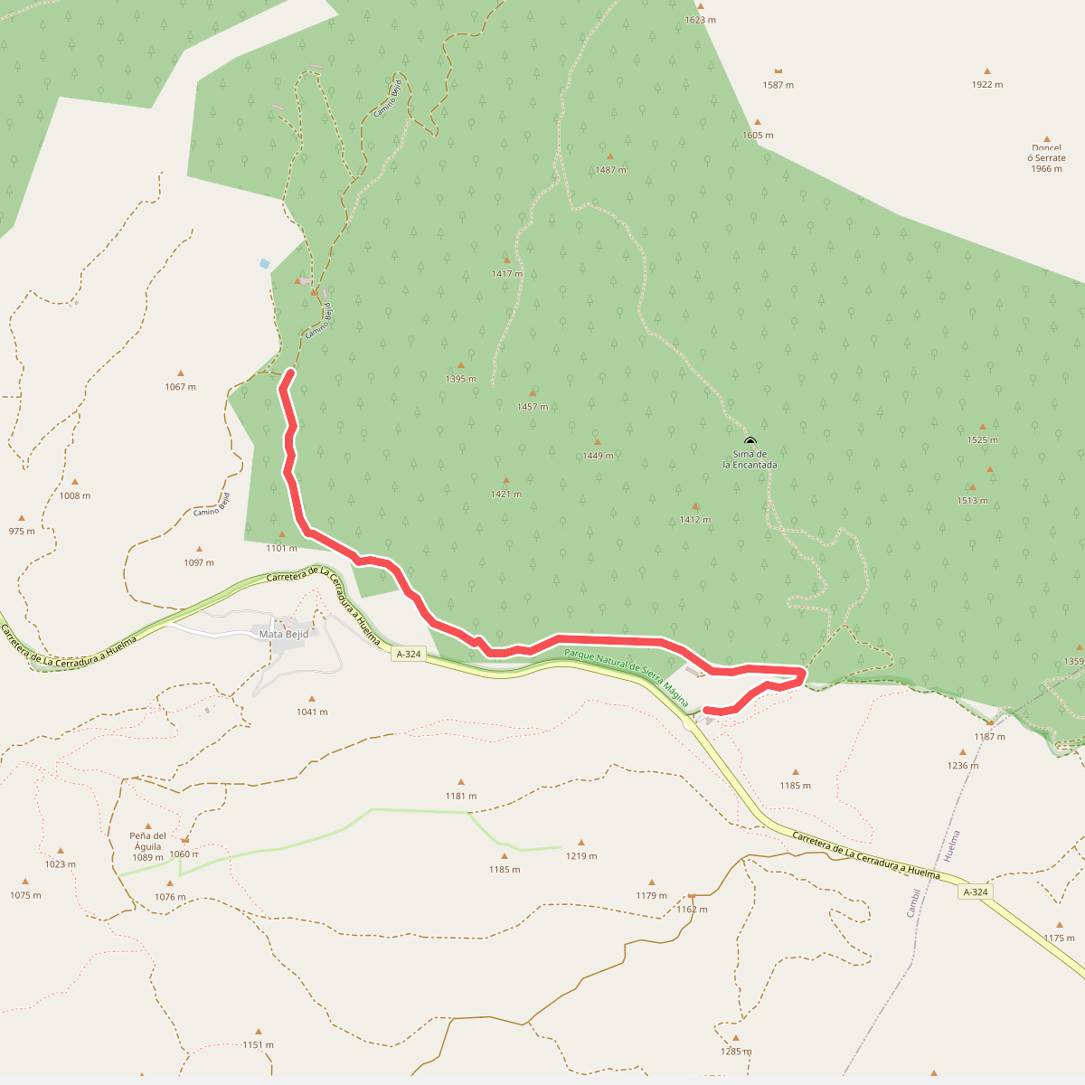
#5. Majada del Rincón
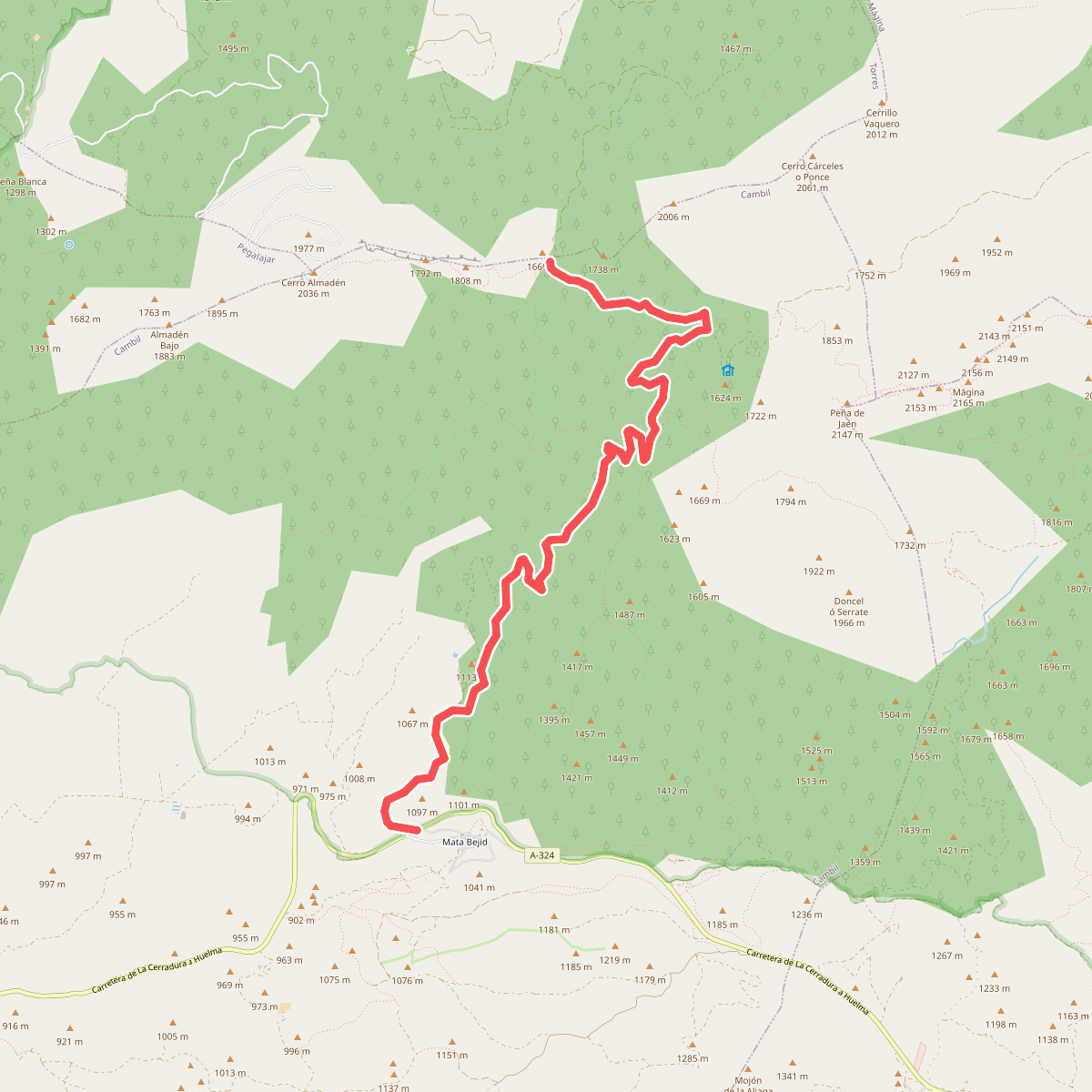
#6. Puerto de la Mata
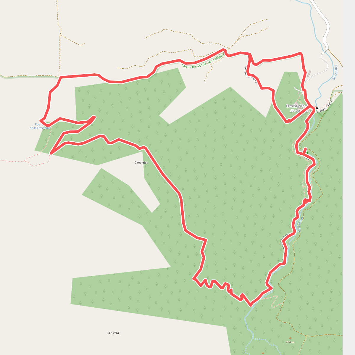
#7. Sendero de Las Viñas
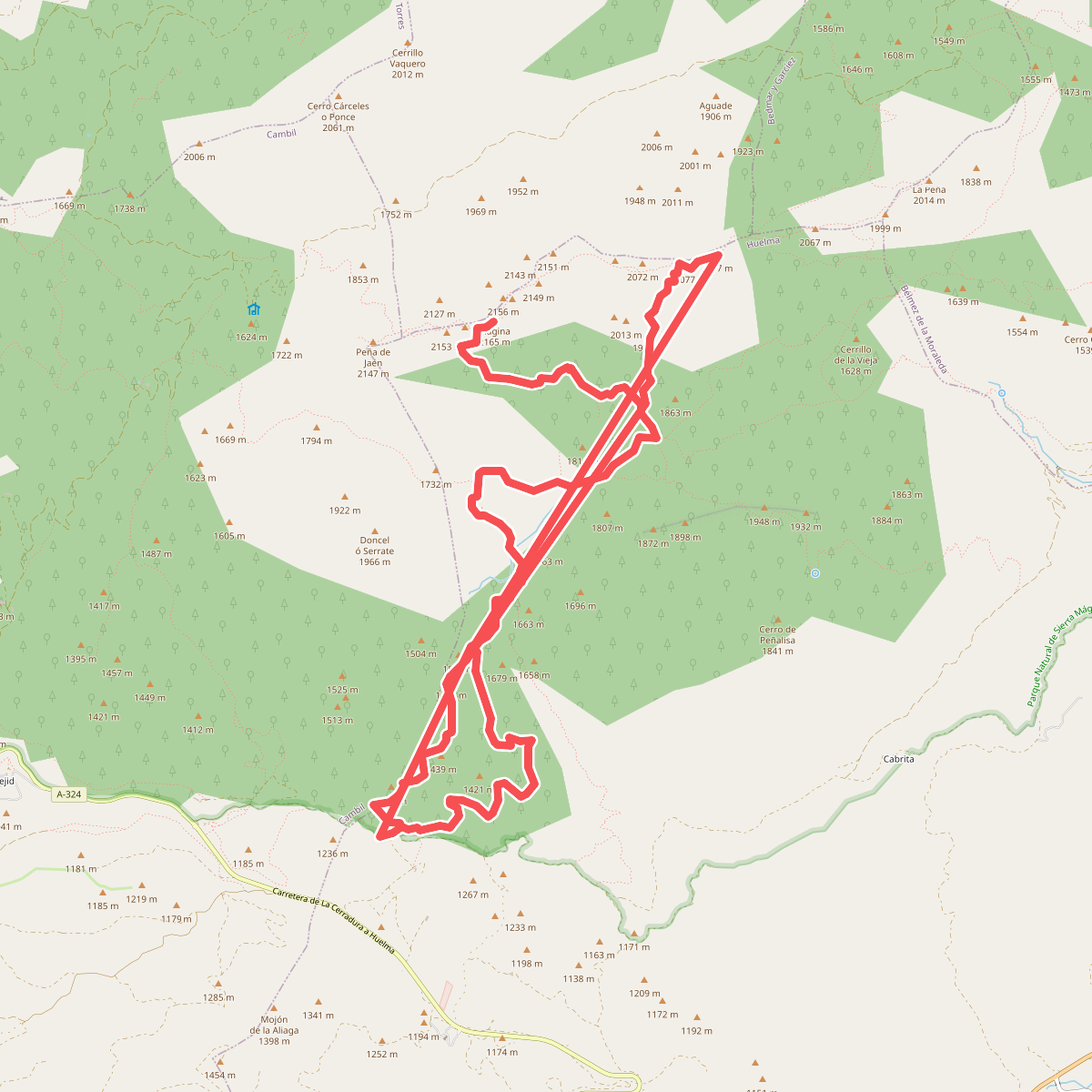
#8. Subida a Pico Mágina y Miramundos
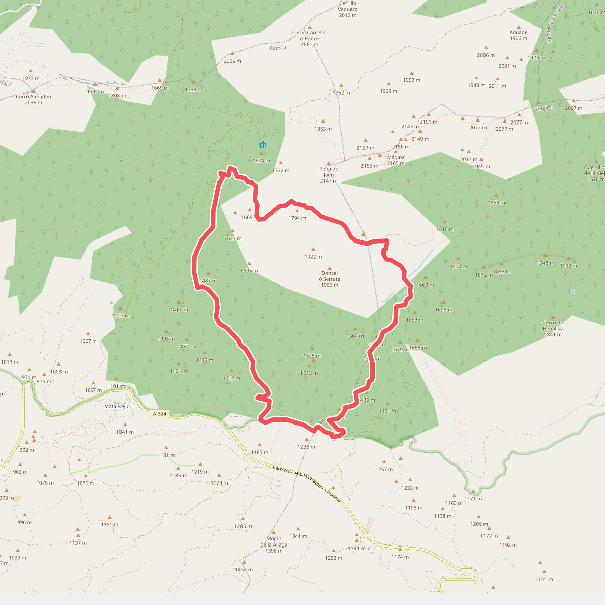
#9. Un paseo por el Karst de Sierra Mágina