

The best hiking routes in Parque Natural de Las Nieves
Discover the best walks in Parque Natural de Las Nieves. 10 routes on the map, with descriptions, photos and GPX.
About Parque Natural de Las Nieves
Parque Natural de Las Nieves, located in the northeast of La Palma, is defined by its steep volcanic barrancos and some of the most substantial laurel forest canopy in the Canary Islands. Walking here means choosing between two distinct environments. The lower, eastern sections are dominated by the dense, humid Los Tilos forest, where giant ferns and moss-covered tiles trees thrive in deep shade. Higher up, the terrain transitions into Canary Island pine forest, which is more open but significantly steeper, eventually climbing toward the high caldera rim.
Read more
About Parque Natural de Las Nieves
Parque Natural de Las Nieves, located in the northeast of La Palma, is defined by its steep volcanic barrancos and some of the most substantial laurel forest canopy in the Canary Islands. Walking here means choosing between two distinct environments. The lower, eastern sections are dominated by the dense, humid Los Tilos forest, where giant ferns and moss-covered tiles trees thrive in deep shade. Higher up, the terrain transitions into Canary Island pine forest, which is more open but significantly steeper, eventually climbing toward the high caldera rim.
Read moreParque Natural de Las Nieves, located in the northeast of La Palma, is defined by its steep volcanic barrancos and some of the most substantial laurel forest canopy in the Canary Islands. Walking here means choosing between two distinct environments. The lower, eastern sections are dominated by the dense, humid Los Tilos forest, where giant ferns and moss-covered tiles trees thrive in deep shade. Higher up, the terrain transitions into Canary Island pine forest, which is more open but significantly steeper, eventually climbing toward the high caldera rim.
Underfoot, the trails vary from damp, leaf-strewn soil and occasional wooden steps in the deep ravines to dry, volcanic gravel and pine needle carpets on the higher ridges. The terrain is demanding, characterized by sharp elevation changes rather than gentle rolling paths. Water is a constant presence in the lower gorges, channeled through traditional stone aqueducts, which run alongside several of the established walking routes.
In winter, particularly around January, the moisture in the lower laurel forest is highly pronounced, keeping the gorge floors damp and the vegetation lush. While the deep barrancos offer shelter from the elements, the high-altitude pine forests are exposed and can be shrouded in thick mist. The area around the Los Tilos visitor centre is often busier, but the steep ascent paths toward the Marcos y Cordero springs or the higher peaks see far fewer walkers.
Hiking routes in Parque Natural de Las Nieves (10)
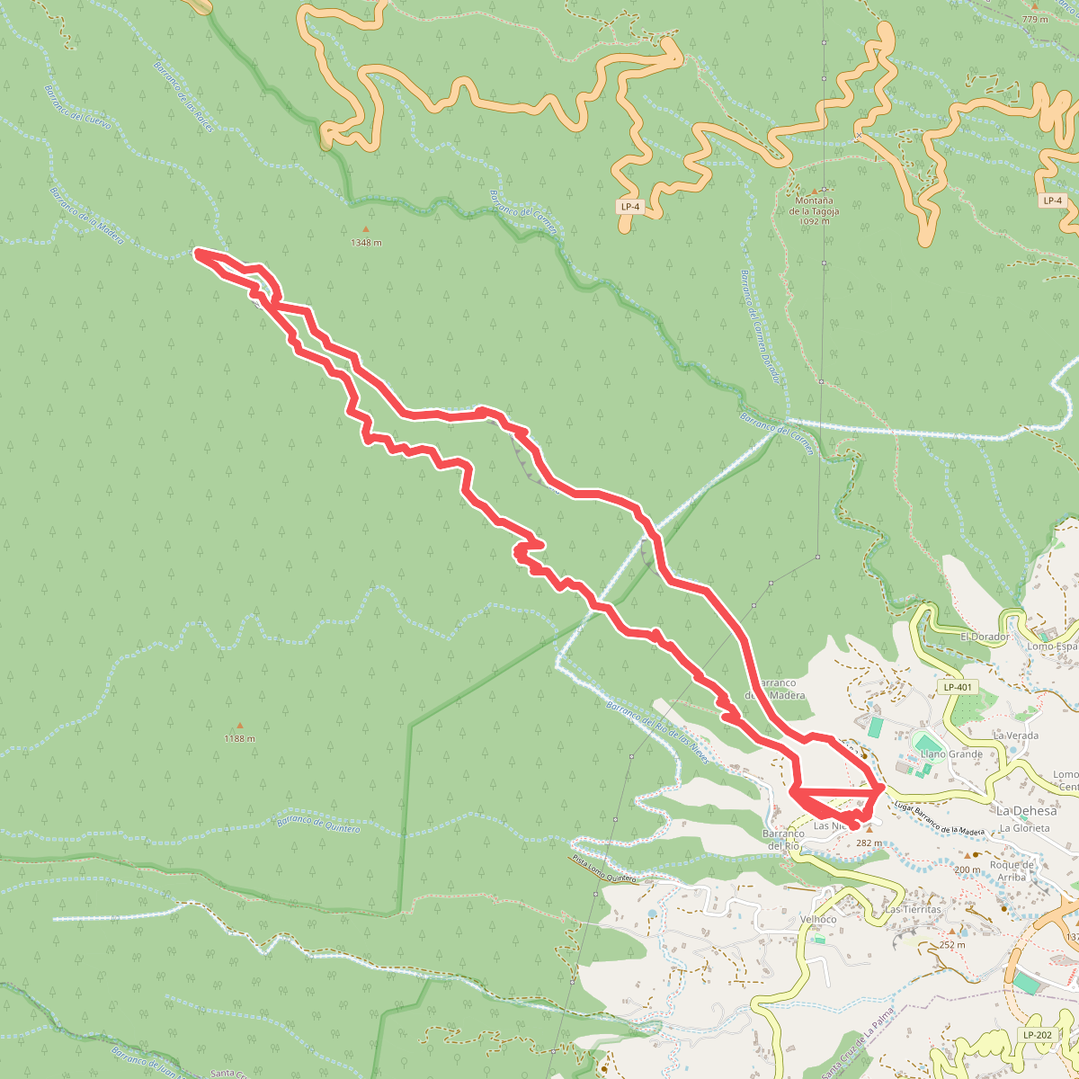
#1. Barranco de la Madera
Santa Cruz de La Palma
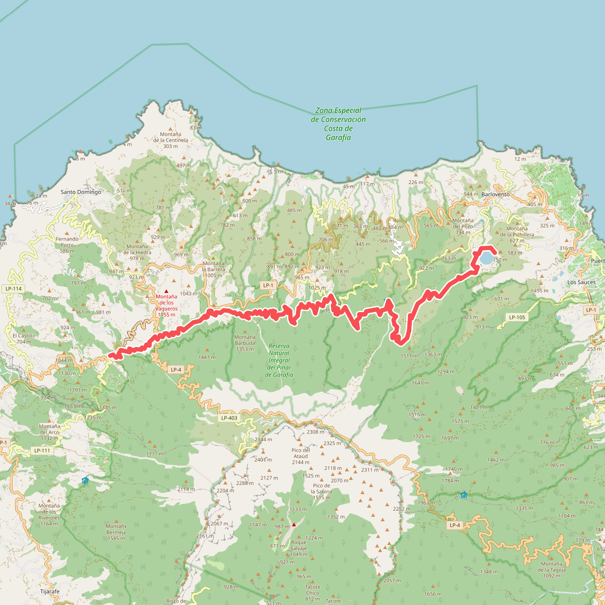
#2. Briesta - Barlovento
Garafía,Barlovento
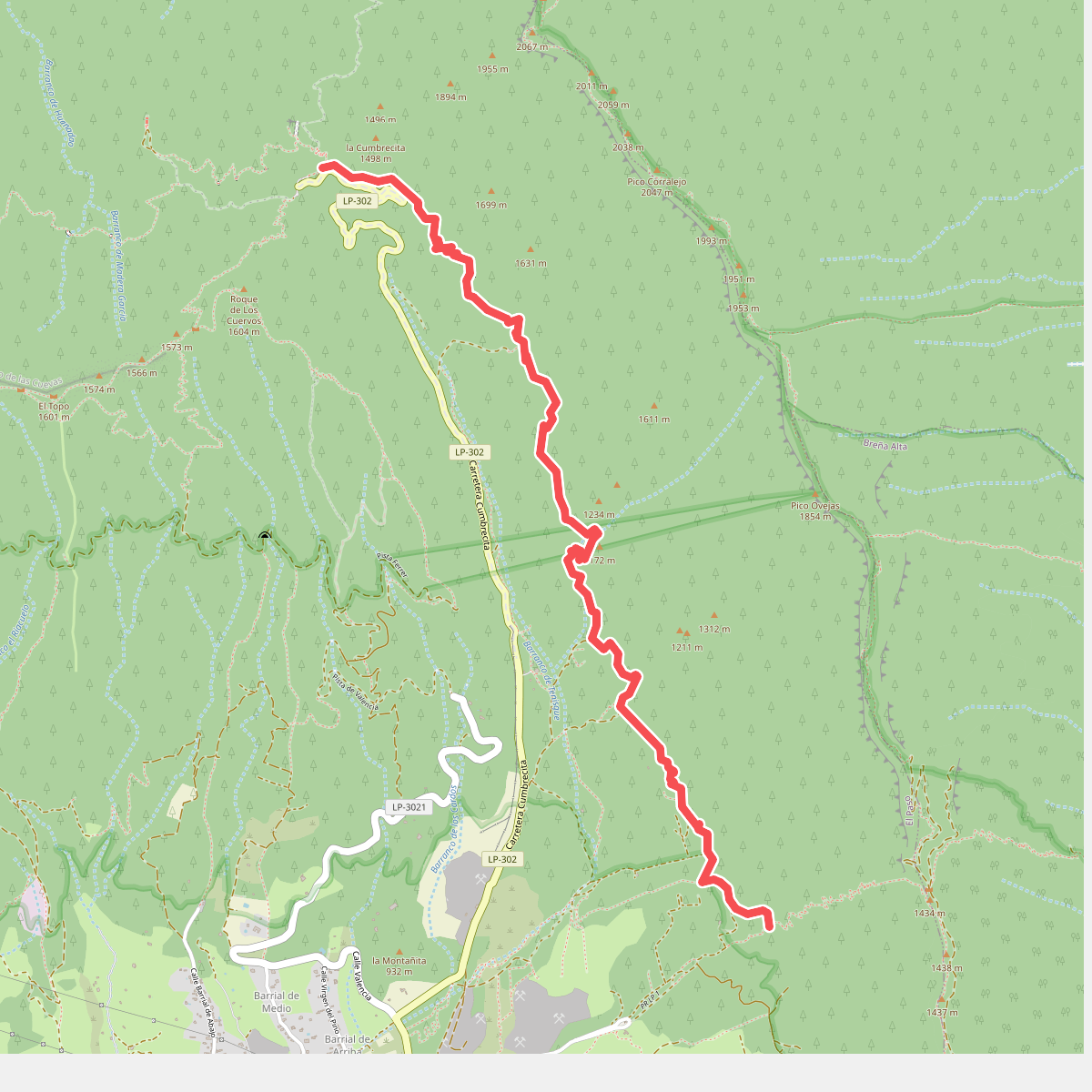
#3. Camino de Gordian
El Paso
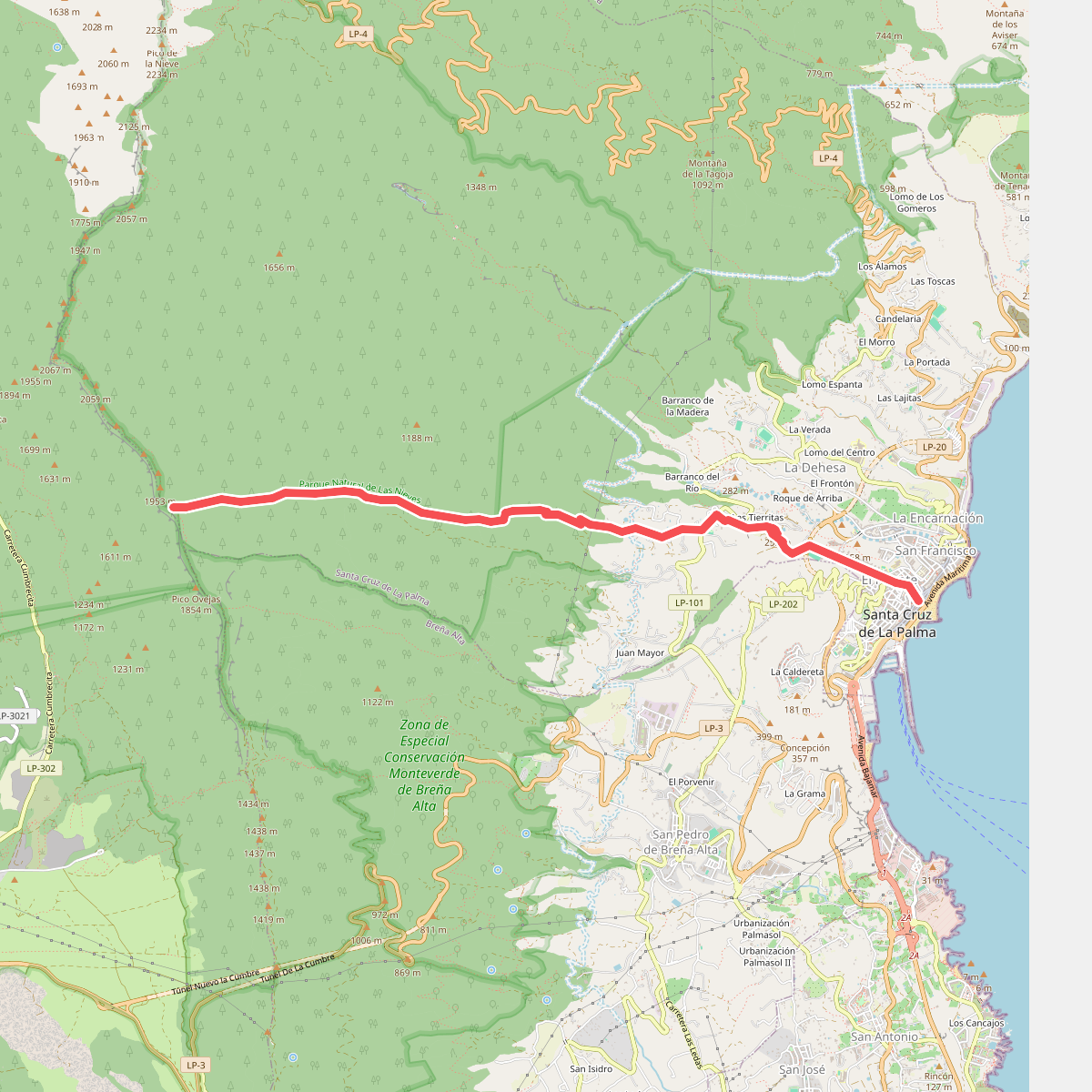
#4. Camino del Lomo del Lance
Santa Cruz de La Palma
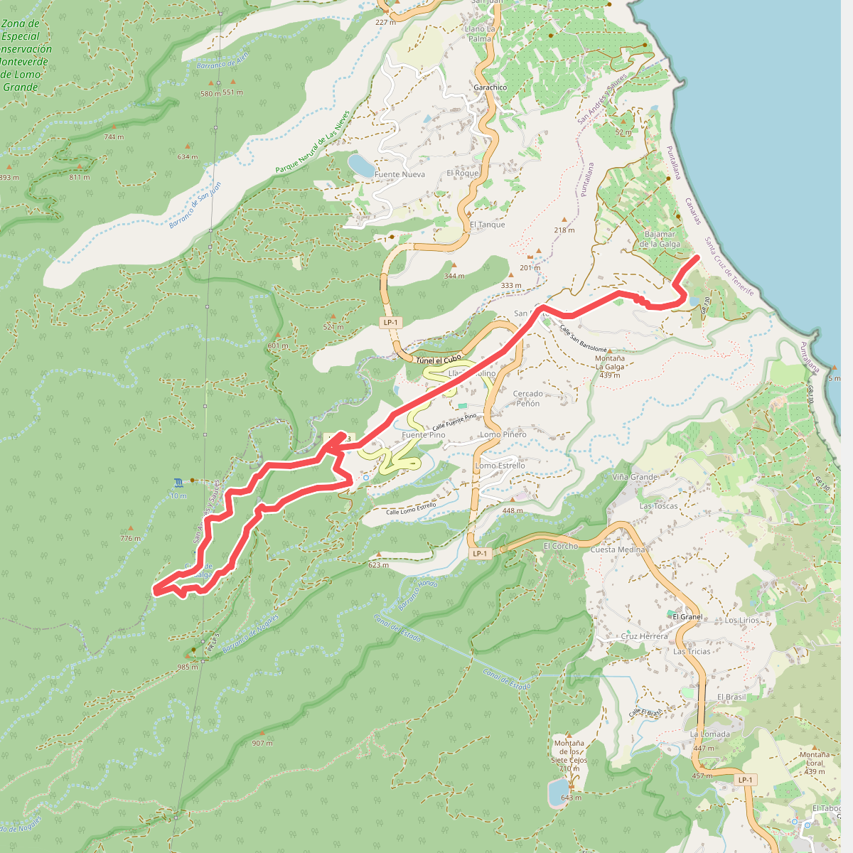
#5. Cubo de la Galga
Puntallana
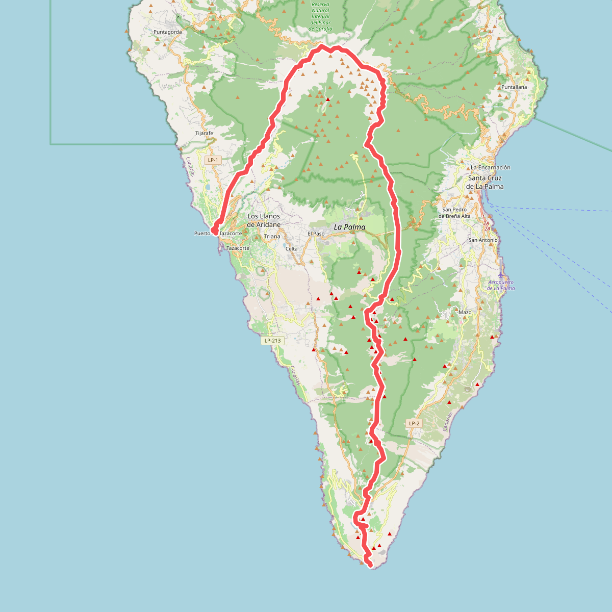
#6. El Bastón
Tazacorte,Tijarafe,Puntagorda,Garafía,El Paso,Barlovento,San Andrés y Sauces,Puntallana,Santa Cruz de La Palma,Breña Alta,Villa de Mazo,Fuencaliente de La Palma
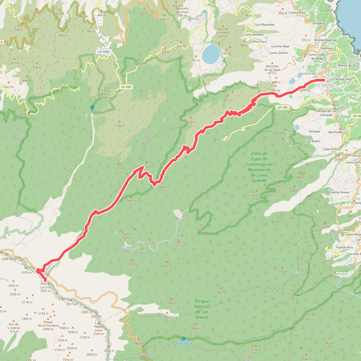
#7. Los Sauces-Pico de La Cruz
San Andrés y Sauces,Barlovento,El Paso
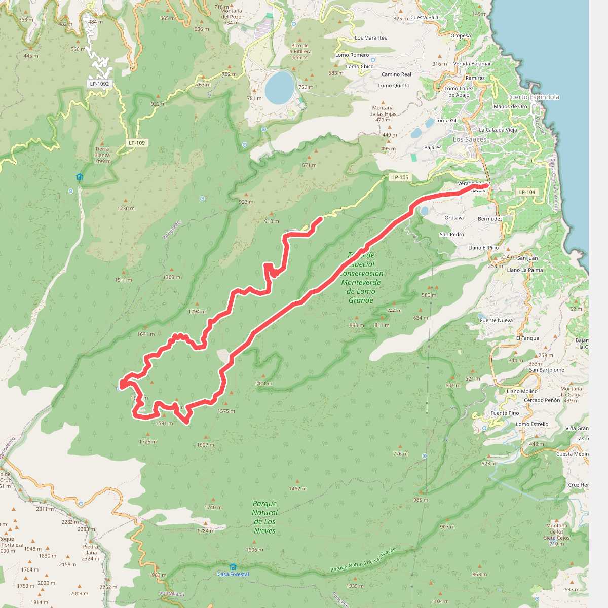
#8. Marcos y Cordero
San Andrés y Sauces
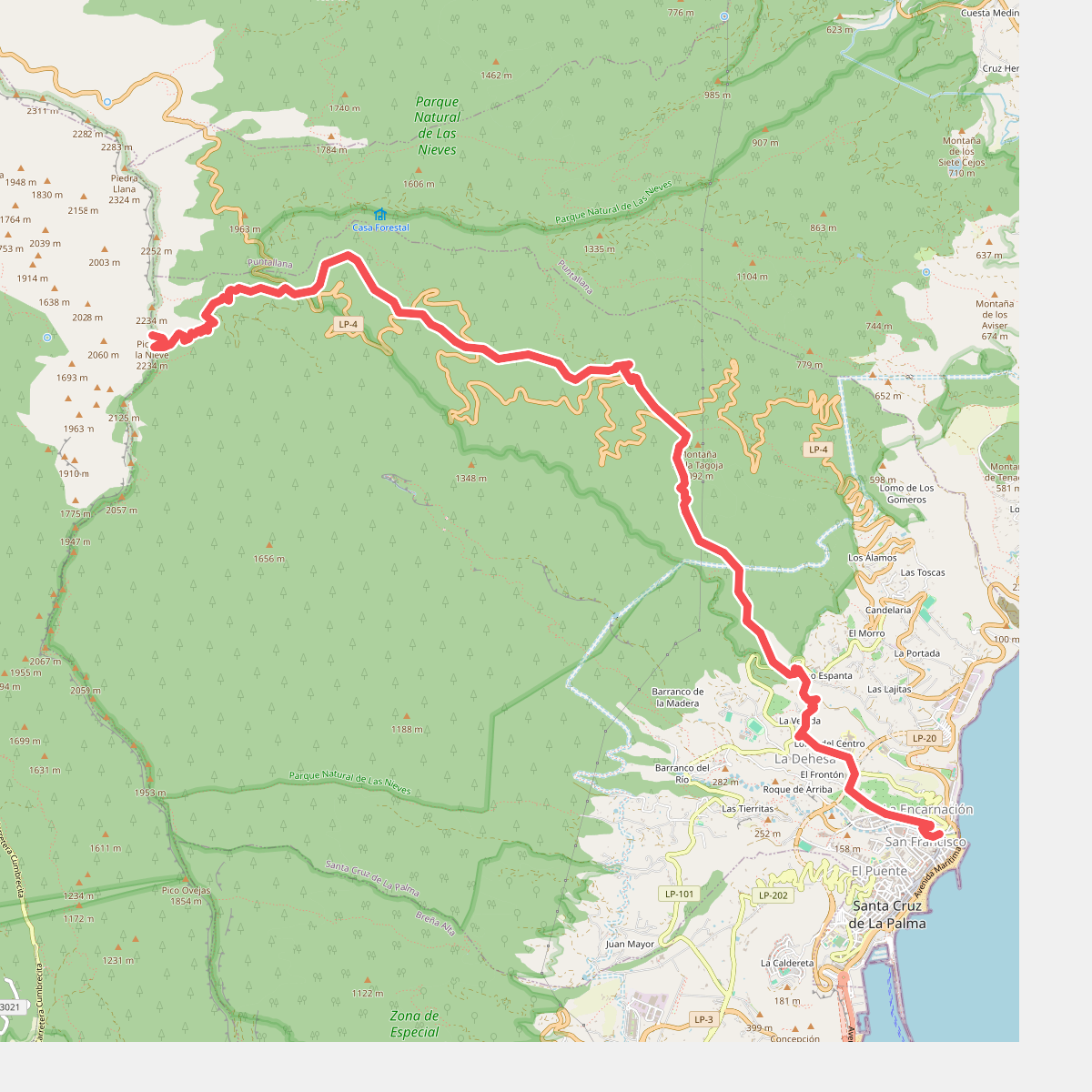
#9. Pico de La Nieve - Santa Cruz de La Palma
El Paso,Santa Cruz de La Palma
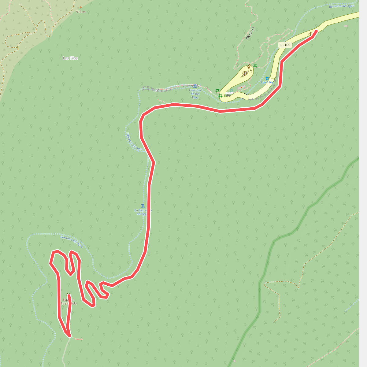
#10. Sendero Autoguiado - Un balcón atravesado entre las brumas
San Andrés y Sauces



