The best hiking routes in Parque Natural de las Batuecas y Sierra de Francia
Discover the best walks in Parque Natural de las Batuecas y Sierra de Francia. 19 routes on the map, with descriptions, photos and GPX.
About Parque Natural de las Batuecas y Sierra de Francia
Parque Natural de las Batuecas y Sierra de Francia is a rugged, forested mountain terrain in western Spain where deep, sheltered valleys contrast sharply with exposed quartzite ridges. Unlike the flat plains of Castile, this area is characterized by steep slate slopes, dense oak and chestnut forests, and Mediterranean scrub. Walkers will notice a distinct transition from the dry, pine-covered heights of the Sierra de Francia down into the humid, subtropical microclimate of the Batuecas valley, where wild olive trees and strawberry trees thrive.
Read more
About Parque Natural de las Batuecas y Sierra de Francia
Parque Natural de las Batuecas y Sierra de Francia is a rugged, forested mountain terrain in western Spain where deep, sheltered valleys contrast sharply with exposed quartzite ridges. Unlike the flat plains of Castile, this area is characterized by steep slate slopes, dense oak and chestnut forests, and Mediterranean scrub. Walkers will notice a distinct transition from the dry, pine-covered heights of the Sierra de Francia down into the humid, subtropical microclimate of the Batuecas valley, where wild olive trees and strawberry trees thrive.
Read moreParque Natural de las Batuecas y Sierra de Francia is a rugged, forested mountain terrain in western Spain where deep, sheltered valleys contrast sharply with exposed quartzite ridges. Unlike the flat plains of Castile, this area is characterized by steep slate slopes, dense oak and chestnut forests, and Mediterranean scrub. Walkers will notice a distinct transition from the dry, pine-covered heights of the Sierra de Francia down into the humid, subtropical microclimate of the Batuecas valley, where wild olive trees and strawberry trees thrive.
Underfoot, the paths vary from stony, uneven mountain tracks littered with loose slate to ancient stone-paved mule trails connecting the isolated stone villages. Navigating the valley floors often requires stepping over exposed tree roots and crossing granite boulders near mountain streams, while the higher ridges feature rough, rocky scrambles. You will not find wide, flat gravel paths here; the terrain demands steady footwork and sturdy footwear.
In November, the chestnut forests on the northern slopes turn a deep copper, making the woodland paths particularly distinct. While the famous village trails can be busy with visitors, the deeper trails into the valley of Las Batuecas offer a much quieter experience among the steep rock faces where wild goats and vultures nest.
Hiking routes in Parque Natural de las Batuecas y Sierra de Francia (19)
#1. Camino Asentadero-Bosque de los Espejos
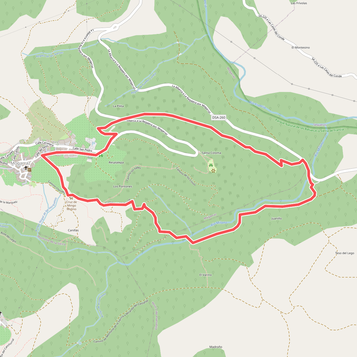
#2. Camino de la Dehesa de Mogarraz
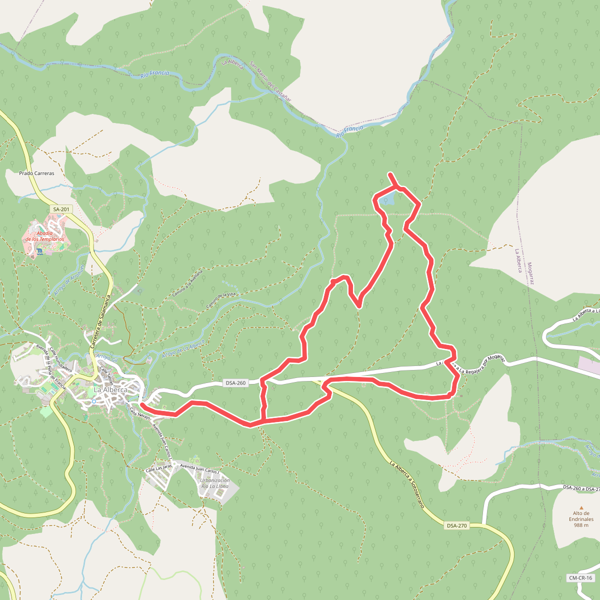
#3. Camino de Las Raices
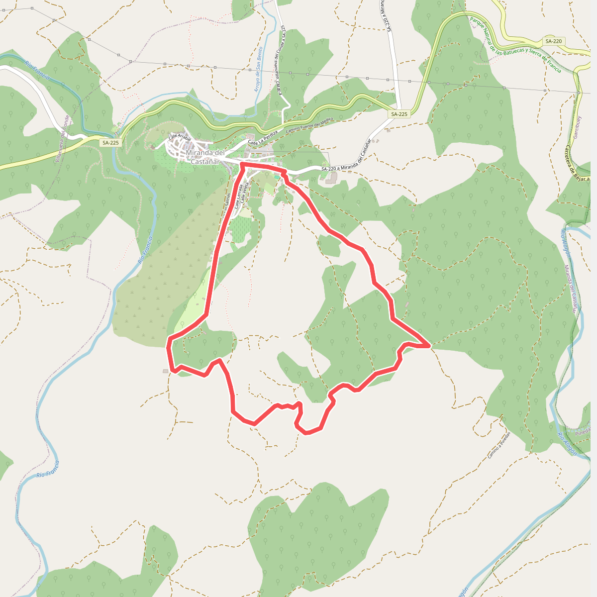
#4. Camino de los Rodales
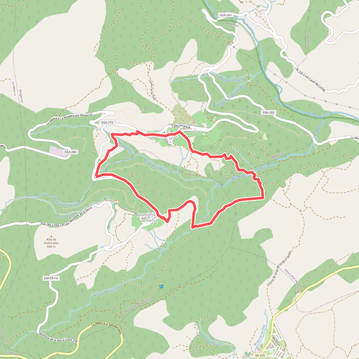
#5. Camino del Agua
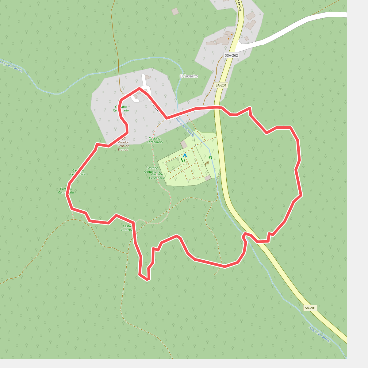
#6. Camino del Peñasco
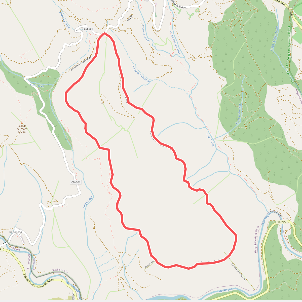
#7. Camino Vuelta a la Sierra Castillo
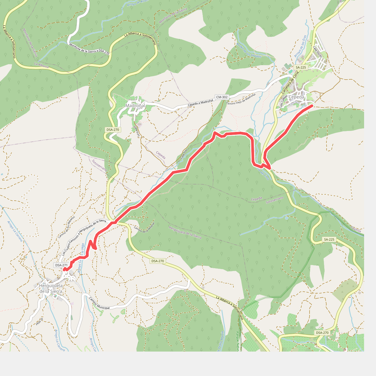
#8. Cepeda - Herguijuela
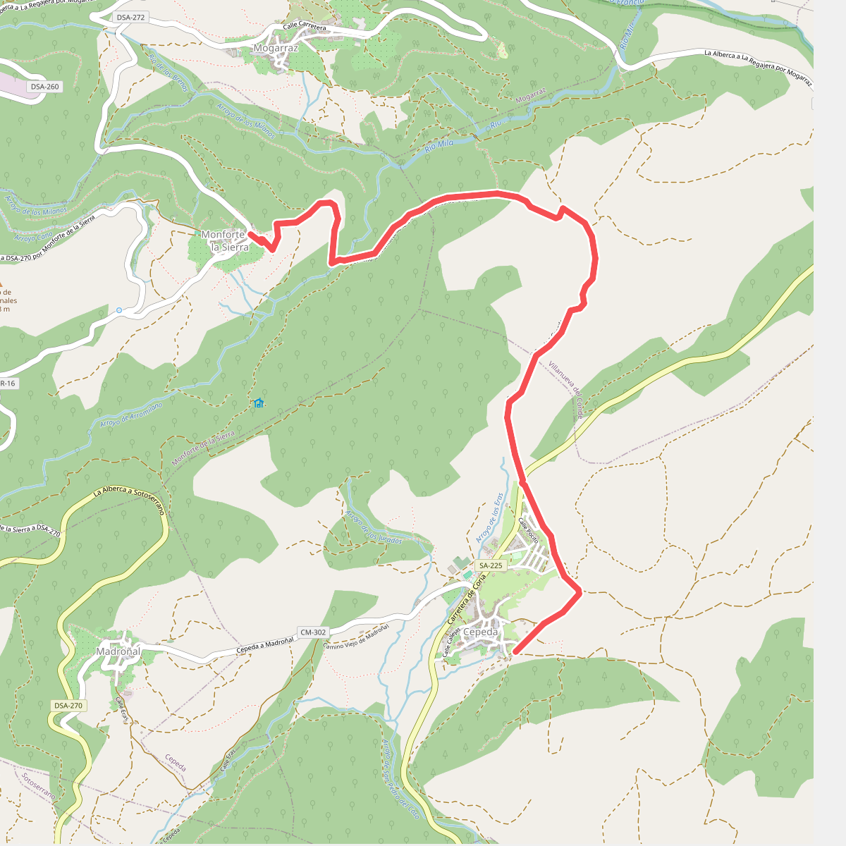
#9. Cepeda - Monforte de la Sierra
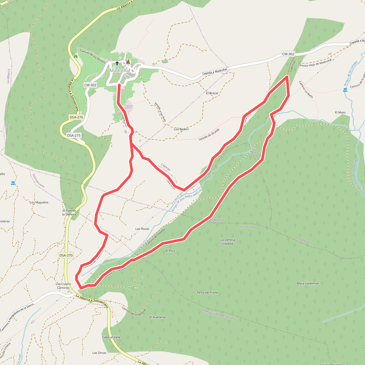
#10. Circular de Madroñal
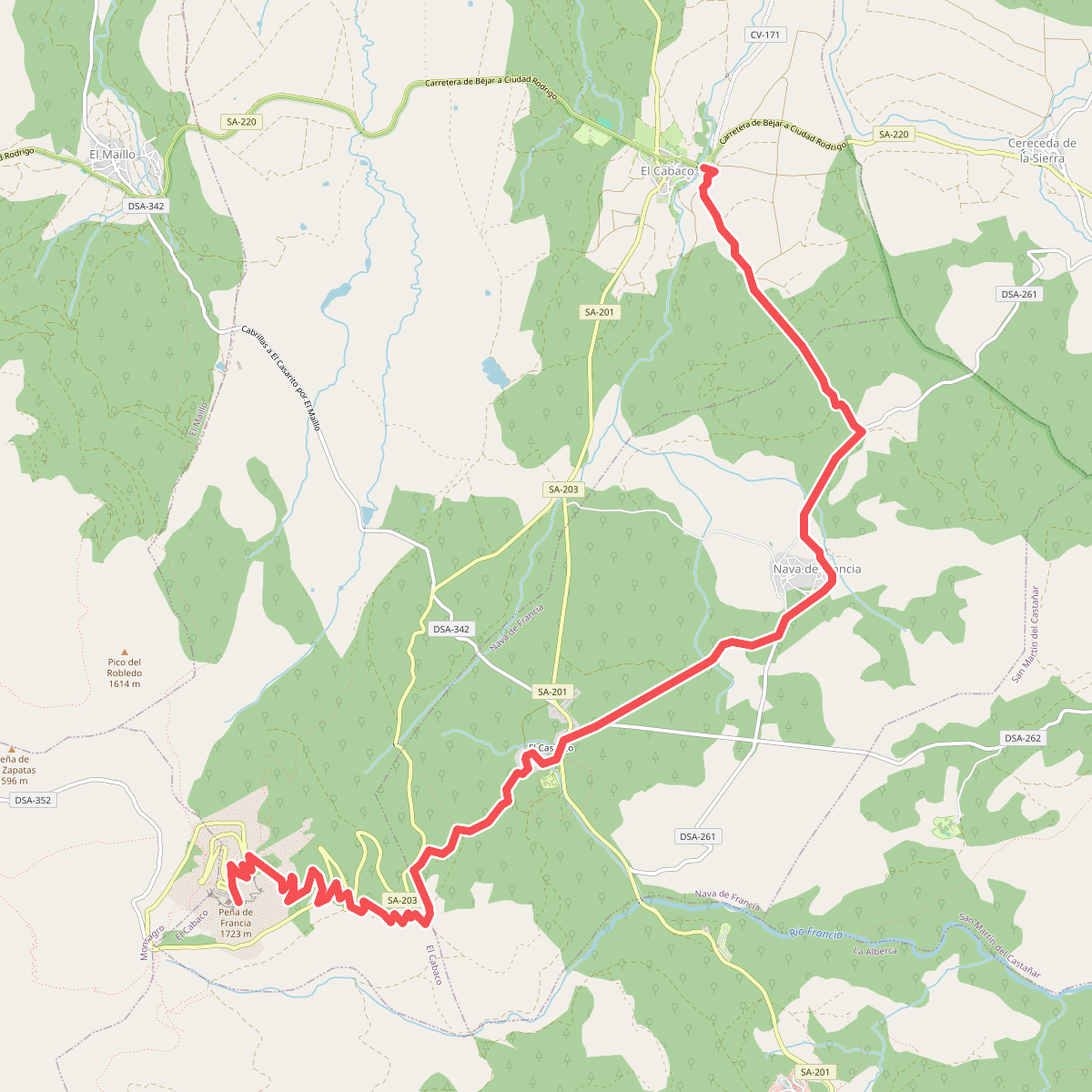
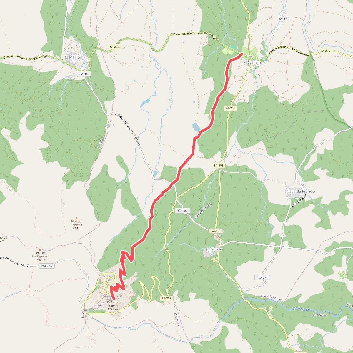
#11. El Cabaco - Peña de Francia