The best hiking routes in Parque Natural de la Sierra de Cazorla, Segura y las Villas
Discover the best walks in Parque Natural de la Sierra de Cazorla, Segura y las Villas. 99 routes on the map, with descriptions, photos and GPX.
About Parque Natural de la Sierra de Cazorla, Segura y las Villas
Parque Natural de la Sierra de Cazorla, Segura y las Villas is defined by its massive, fractured limestone geology and the headwaters of the Guadalquivir and Segura rivers. Unlike the arid plains of southern Spain, this area is heavily forested with pine and oak, broken up by sheer cliffs, deep gorges, and high-altitude karst plateaus. Walkers should expect dramatic elevation changes rather than gentle rolling hills, with paths that range from wide, gravel forestry tracks to steep, stony mule paths littered with loose limestone scree.
Read more
About Parque Natural de la Sierra de Cazorla, Segura y las Villas
Parque Natural de la Sierra de Cazorla, Segura y las Villas is defined by its massive, fractured limestone geology and the headwaters of the Guadalquivir and Segura rivers. Unlike the arid plains of southern Spain, this area is heavily forested with pine and oak, broken up by sheer cliffs, deep gorges, and high-altitude karst plateaus. Walkers should expect dramatic elevation changes rather than gentle rolling hills, with paths that range from wide, gravel forestry tracks to steep, stony mule paths littered with loose limestone scree.
Read moreParque Natural de la Sierra de Cazorla, Segura y las Villas is defined by its massive, fractured limestone geology and the headwaters of the Guadalquivir and Segura rivers. Unlike the arid plains of southern Spain, this area is heavily forested with pine and oak, broken up by sheer cliffs, deep gorges, and high-altitude karst plateaus. Walkers should expect dramatic elevation changes rather than gentle rolling hills, with paths that range from wide, gravel forestry tracks to steep, stony mule paths littered with loose limestone scree.
The park is divided into distinct landscape zones that dictate the walking experience. The central valley of the Guadalquivir offers relatively accessible paths along the riverbank, where the sound of rushing water dominates and vegetation is dense. In contrast, ascending to the high plateaus, such as the Campos de Hernán Perea, reveals a barren, windswept limestone desert with almost no tree cover, where navigation relies on stone cairns rather than clear tracks. The limestone underfoot is sharp and uneven, requiring sturdy footwear with good grip.
Water is a constant theme, but its presence varies by elevation. In the lower gorges like the Cerrada de Elías, walkers follow wooden boardwalks pinned to vertical rock walls directly above the torrent. Higher up, the landscape becomes dry as water disappears into sinkholes, leaving empty limestone pavements. Spring months like May bring intense wildflower blooms to these higher pastures, while autumn turns the deciduous oaks in the deeper valleys yellow and brown, making these lower forest tracks particularly scenic.
Hiking routes in Parque Natural de la Sierra de Cazorla, Segura y las Villas (99)
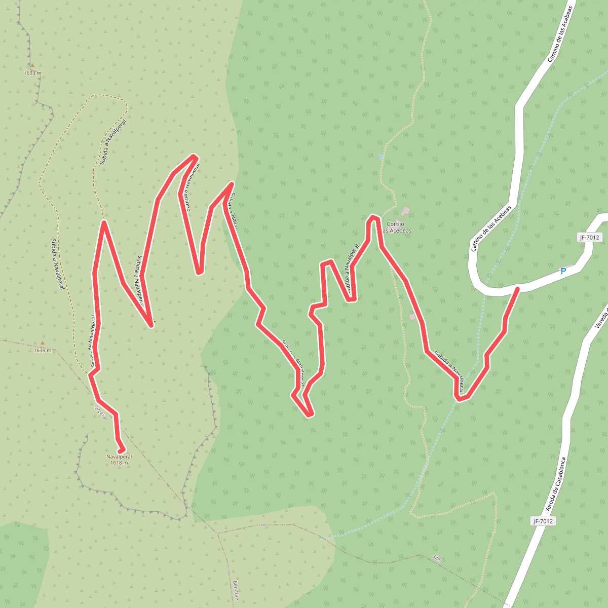
#1. Acebeas - Cumbre de Navalperal
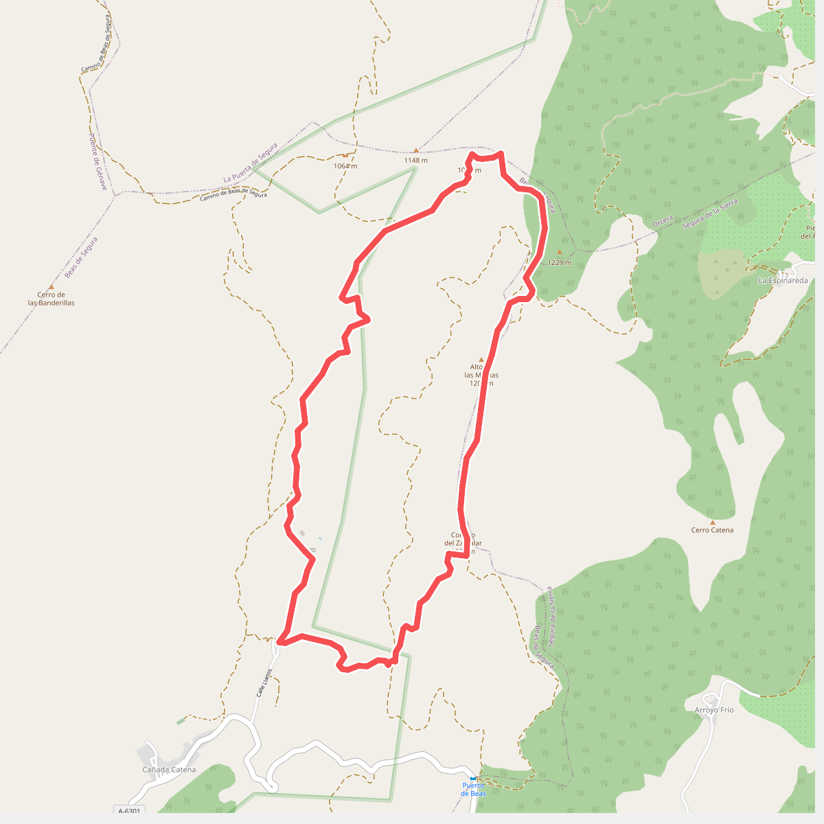
#2. Alto de las Muelas
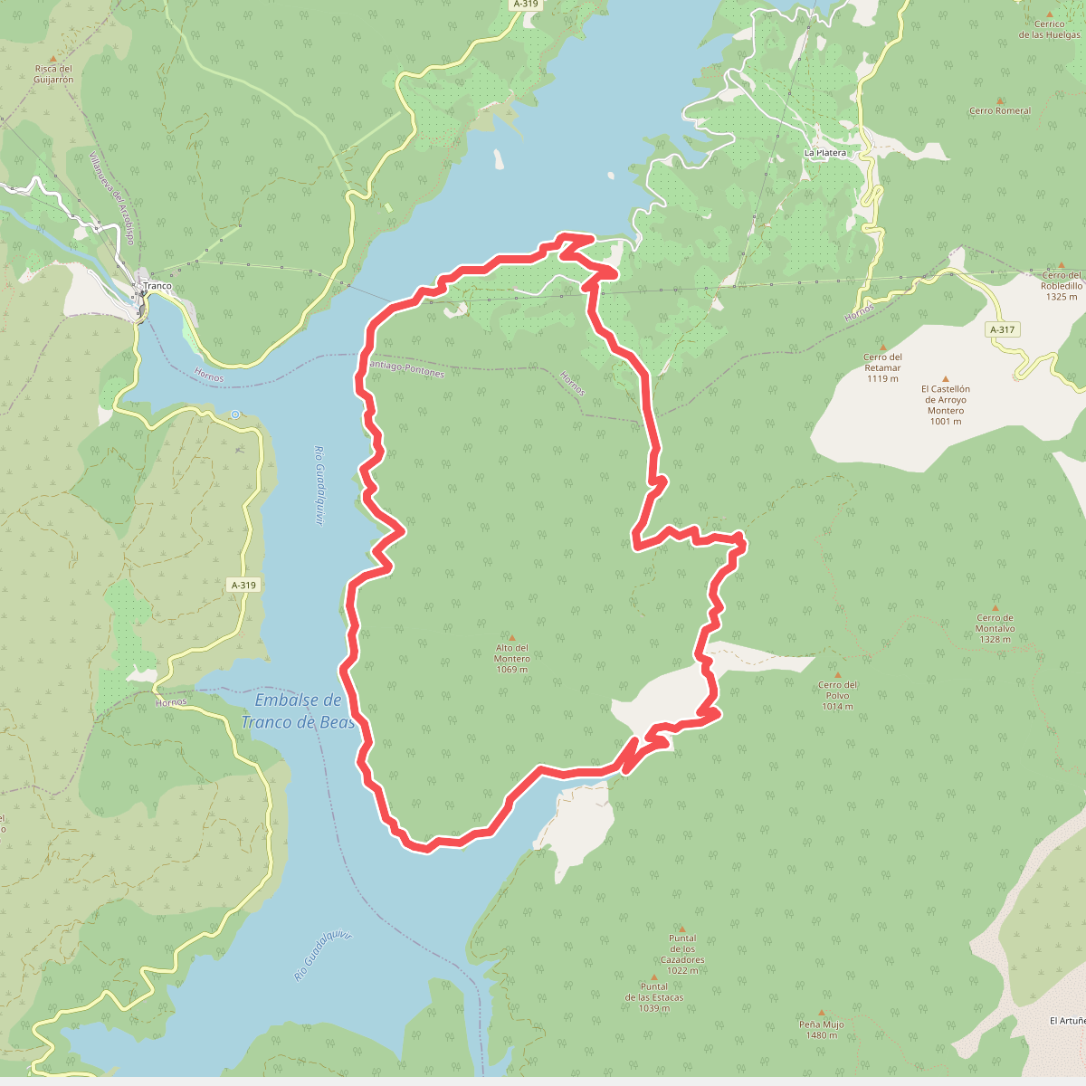
#3. Alto del Montero
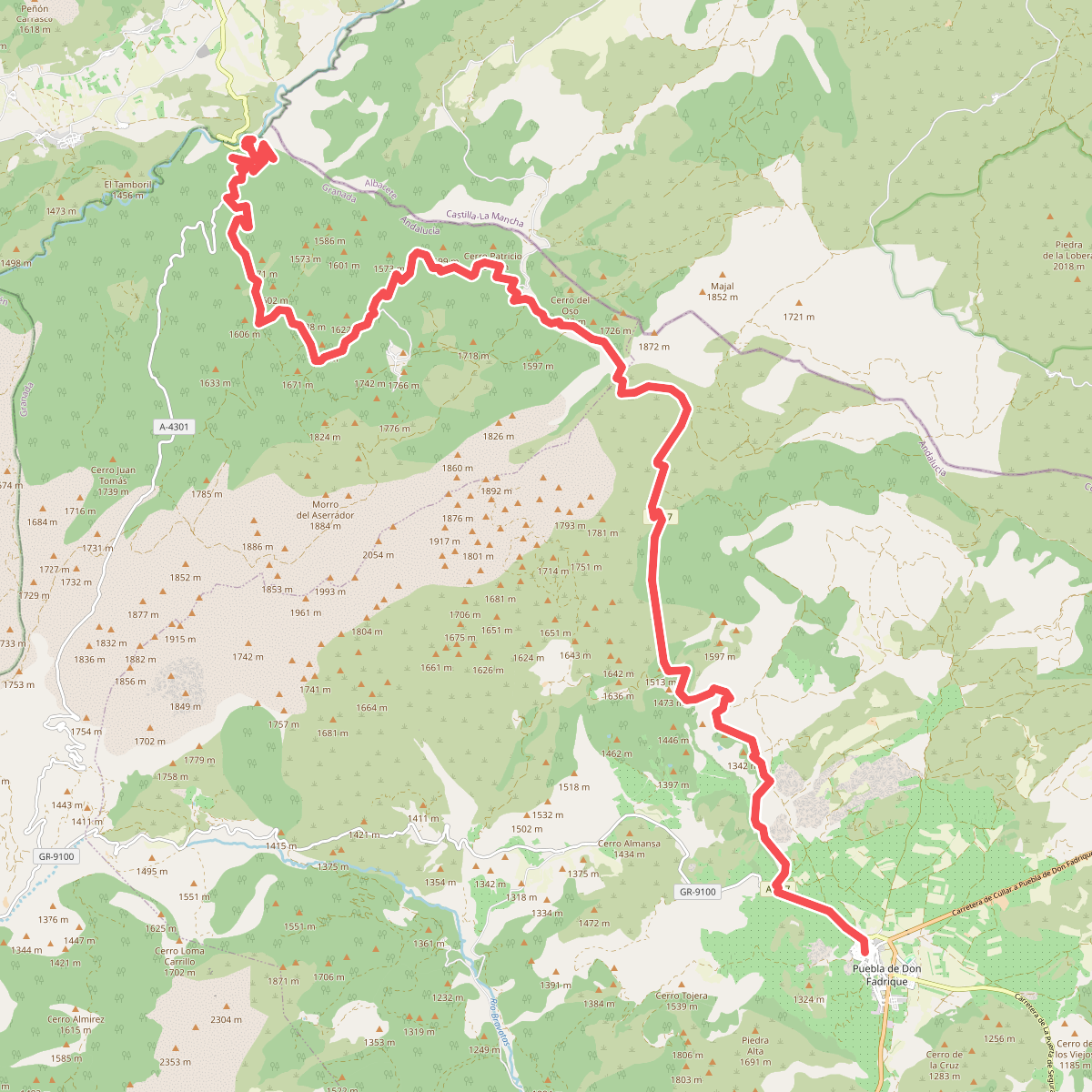
#4. Andalucía - North Route (Província de Granada)
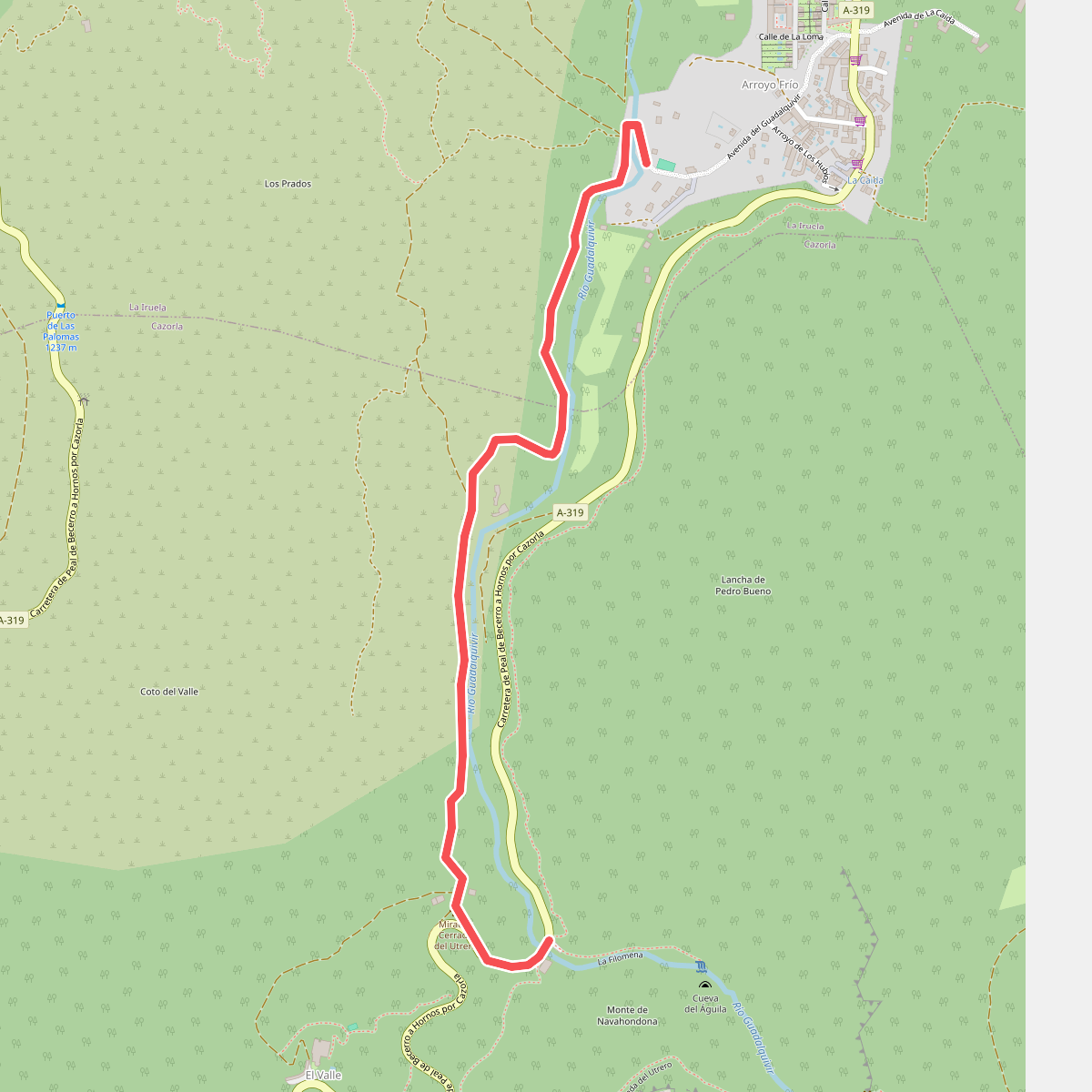
#5. Arroyo Frío
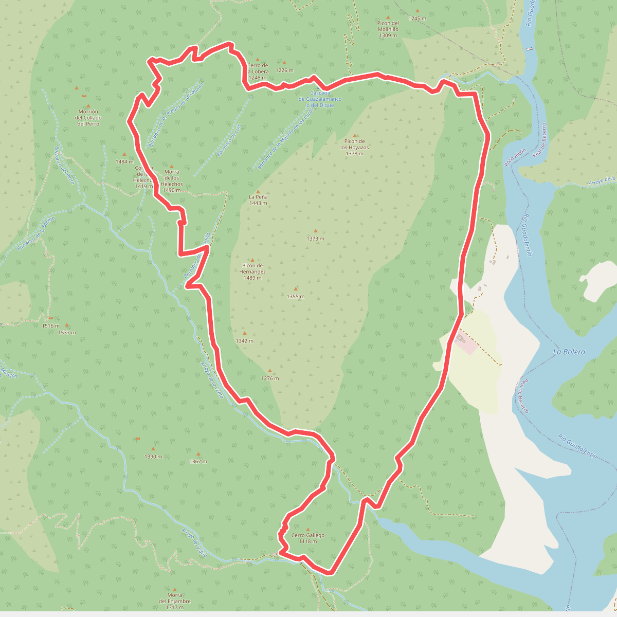
#6. Barranco de las Sabinas a Guazalamanco
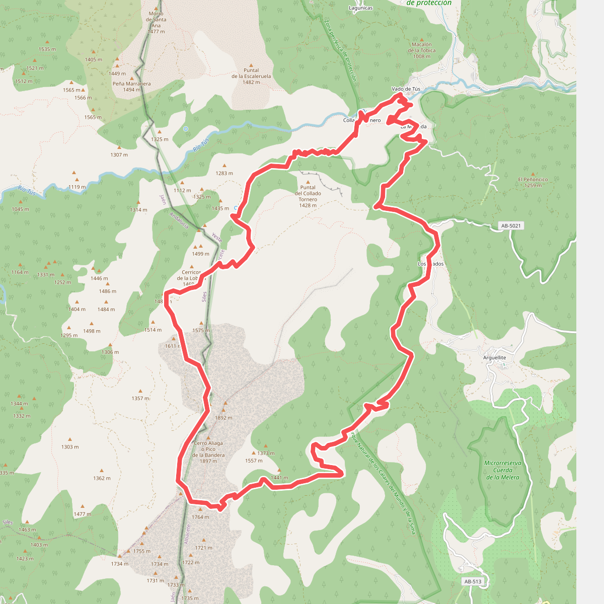
#7. Calar del Rio Mundo
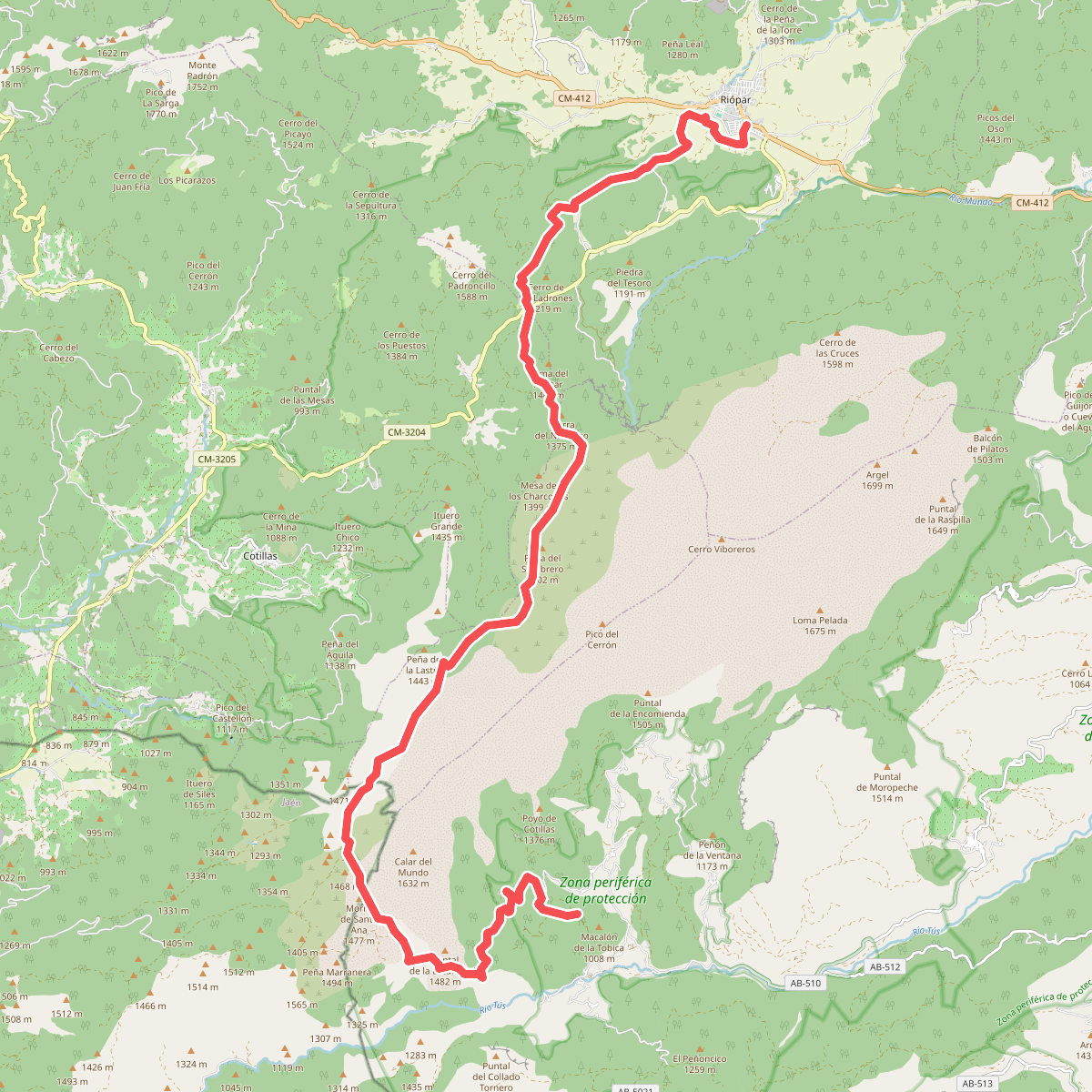
#8. Calar del Río Mundo
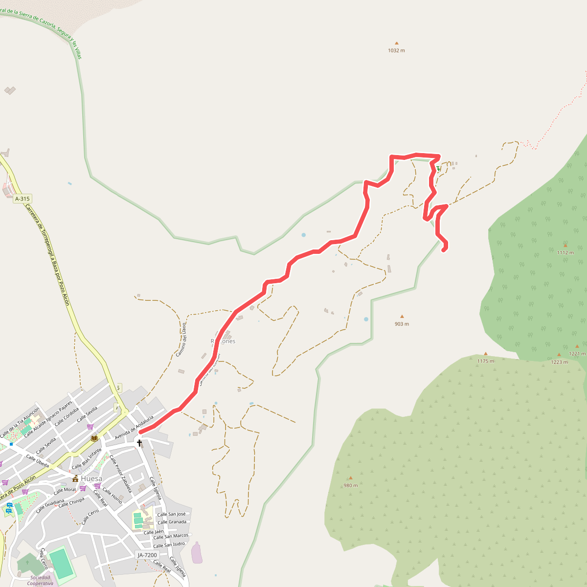
#9. Calle de los Moros
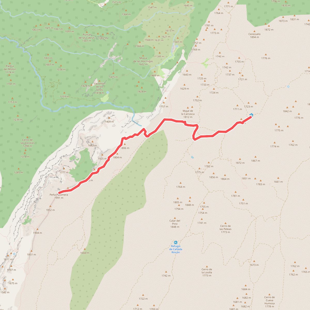
#10. Campo del Espino - Banderillas
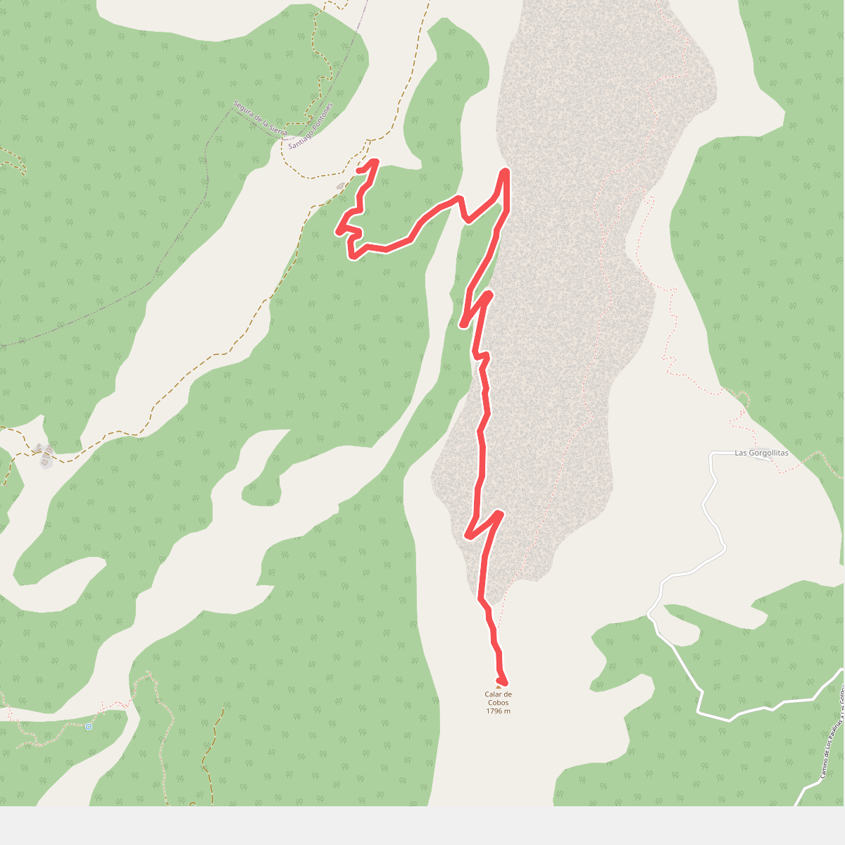
#11. Cañada del Saucar - Puntal de la Misa