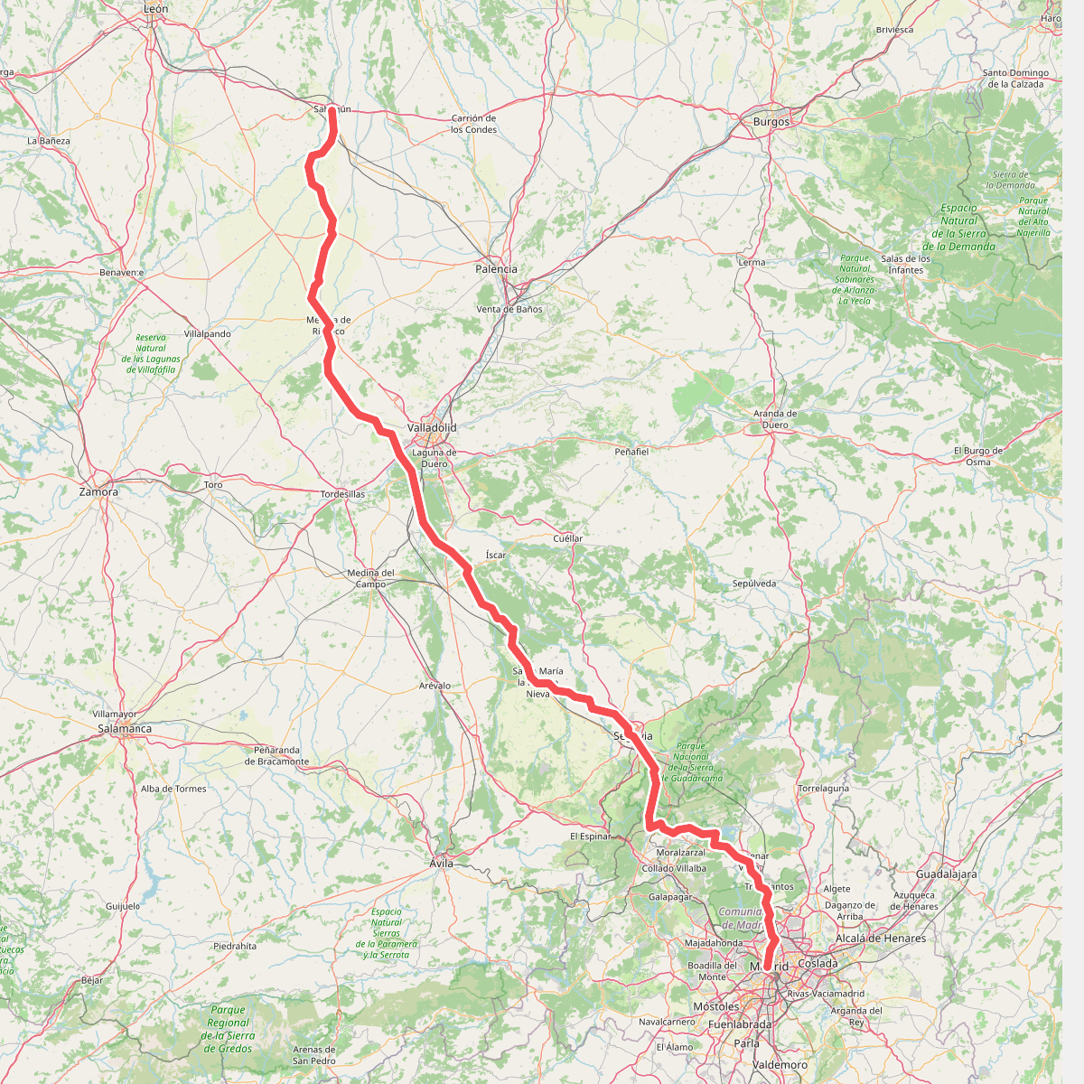
The best hiking routes in Parque Natural de la Hoces del Río Duratón
Discover the best walks in Parque Natural de la Hoces del Río Duratón. 1 routes on the map, with descriptions, photos and GPX.
About Parque Natural de la Hoces del Río Duratón
Parque Natural de la Hoces del Río Duratón is defined by a stark contrast between two distinct environments: a dry, flat limestone plain and a deep, winding canyon carved by the river. Walking here means choosing between the arid upper plateau, where the ground is mostly hard-packed earth and loose limestone gravel, and the sheltered canyon floor, where vegetation is denser and the path follows the watercourse. There are no high mountain peaks or forested ridges; the landscape is a flat agricultural tableland that suddenly drops over a hundred meters into sheer cliffs.
Read more
About Parque Natural de la Hoces del Río Duratón
Parque Natural de la Hoces del Río Duratón is defined by a stark contrast between two distinct environments: a dry, flat limestone plain and a deep, winding canyon carved by the river. Walking here means choosing between the arid upper plateau, where the ground is mostly hard-packed earth and loose limestone gravel, and the sheltered canyon floor, where vegetation is denser and the path follows the watercourse. There are no high mountain peaks or forested ridges; the landscape is a flat agricultural tableland that suddenly drops over a hundred meters into sheer cliffs.
Read moreParque Natural de la Hoces del Río Duratón is defined by a stark contrast between two distinct environments: a dry, flat limestone plain and a deep, winding canyon carved by the river. Walking here means choosing between the arid upper plateau, where the ground is mostly hard-packed earth and loose limestone gravel, and the sheltered canyon floor, where vegetation is denser and the path follows the watercourse. There are no high mountain peaks or forested ridges; the landscape is a flat agricultural tableland that suddenly drops over a hundred meters into sheer cliffs.
On the upper rim, the vegetation is sparse, consisting of low scrub, thyme, and occasional juniper trees growing directly out of the rocky soil. This exposed level offers views straight down into the meanders of the river and across to the cliff faces where griffon vultures nest in the natural cavities. In contrast, descending into the canyon brings you into a shaded riparian zone filled with poplars, willows, and alders, where the underfoot conditions change to softer dirt tracks and occasional muddy patches near the water.
For a shorter walk on flat ground, the dirt tracks leading to the Ermita de San Frutos on the peninsula of the canyon are popular and easy to navigate, though this area gets busy on weekends. Those seeking longer, more demanding routes can follow the paths along the canyon floor from Sebúlcor or Sepúlveda, where the terrain requires stepping over tree roots and navigating rocky riverside sections. In autumn, particularly in November, the deciduous trees along the river turn bright yellow, contrasting sharply with the grey limestone walls.