

The best hiking routes in Parque nacional de la Caldera de Taburiente
Discover the best walks in Parque nacional de la Caldera de Taburiente. 8 routes on the map, with descriptions, photos and GPX.
About Parque nacional de la Caldera de Taburiente
Parque nacional de la Caldera de Taburiente is dominated by a massive volcanic depression that shapes every walking route. Unlike flatter coastal areas, this park requires constant climbing and descending along steep, rocky paths. The landscape is split between the high, dry pine forests that cling to the upper ridges and the deep, narrow ravines of the canyon floor. Walkers should expect loose volcanic gravel underfoot on the higher trails, which can feel unstable, while the canyon floor features stream crossings over slippery boulders.
Read more
About Parque nacional de la Caldera de Taburiente
Parque nacional de la Caldera de Taburiente is dominated by a massive volcanic depression that shapes every walking route. Unlike flatter coastal areas, this park requires constant climbing and descending along steep, rocky paths. The landscape is split between the high, dry pine forests that cling to the upper ridges and the deep, narrow ravines of the canyon floor. Walkers should expect loose volcanic gravel underfoot on the higher trails, which can feel unstable, while the canyon floor features stream crossings over slippery boulders.
Read moreParque nacional de la Caldera de Taburiente is dominated by a massive volcanic depression that shapes every walking route. Unlike flatter coastal areas, this park requires constant climbing and descending along steep, rocky paths. The landscape is split between the high, dry pine forests that cling to the upper ridges and the deep, narrow ravines of the canyon floor. Walkers should expect loose volcanic gravel underfoot on the higher trails, which can feel unstable, while the canyon floor features stream crossings over slippery boulders.
Water is a defining feature of the inner caldera, where streams like the Taburiente flow year-round. This creates a stark contrast between the arid, sun-baked outer walls and the humid, green barrancos inside. On the path, you will notice how the Canary Island pine trees have thick, charred bark, a visible sign of their adaptation to forest fires. The Barranco de las Angustias serves as the main natural exit, where the terrain changes to a wide, stony riverbed filled with large pebbles and sediment.
This park is not a place for gentle, rolling strolls or easy circular walks. Most routes involve significant elevation changes and require careful footwork on narrow ledges. While the high viewpoints along the rim offer clear views of the crater interior, the valley floor feels enclosed and shaded by towering rock walls. The popular descent from Los Brecitos to the caldera floor is often busier, whereas the steep climbs up to the peaks of the outer rim are much quieter.
Hiking routes in Parque nacional de la Caldera de Taburiente (8)
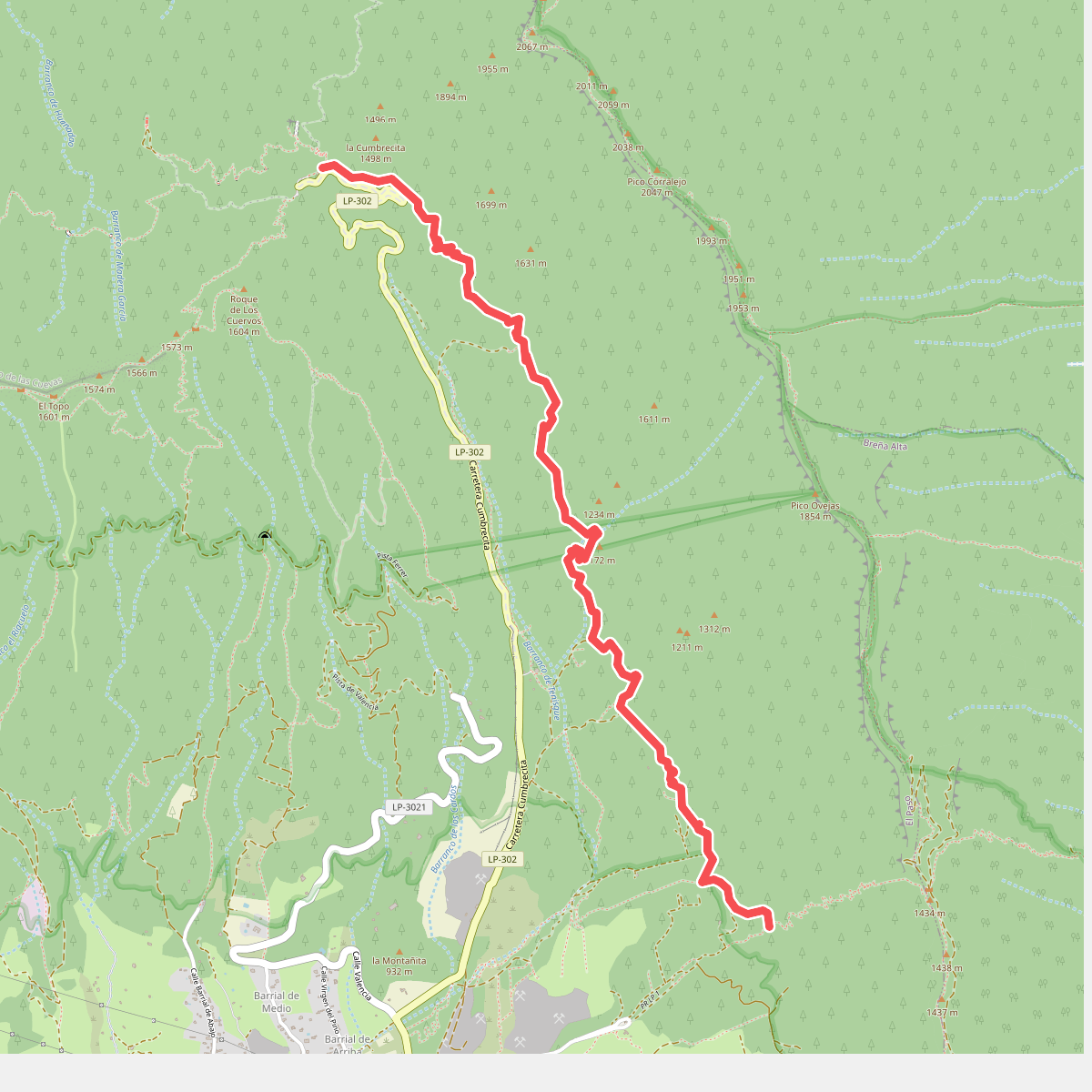
#1. Camino de Gordian
El Paso
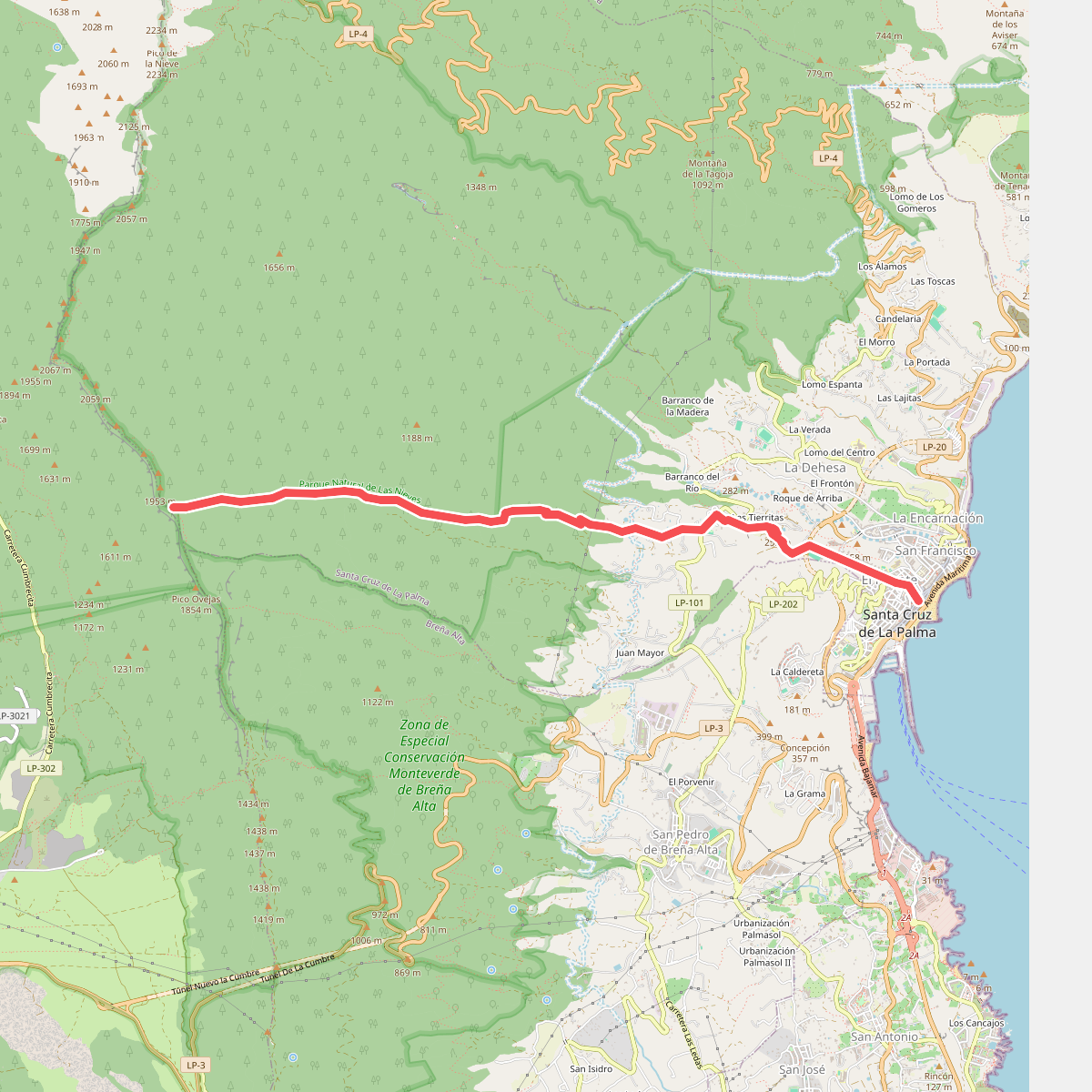
#2. Camino del Lomo del Lance
Santa Cruz de La Palma
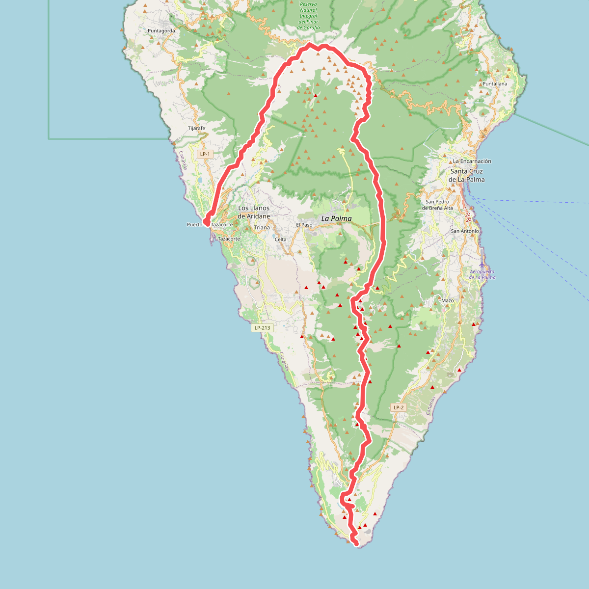
#3. El Bastón
Tazacorte,Tijarafe,Puntagorda,Garafía,El Paso,Barlovento,San Andrés y Sauces,Puntallana,Santa Cruz de La Palma,Breña Alta,Villa de Mazo,Fuencaliente de La Palma
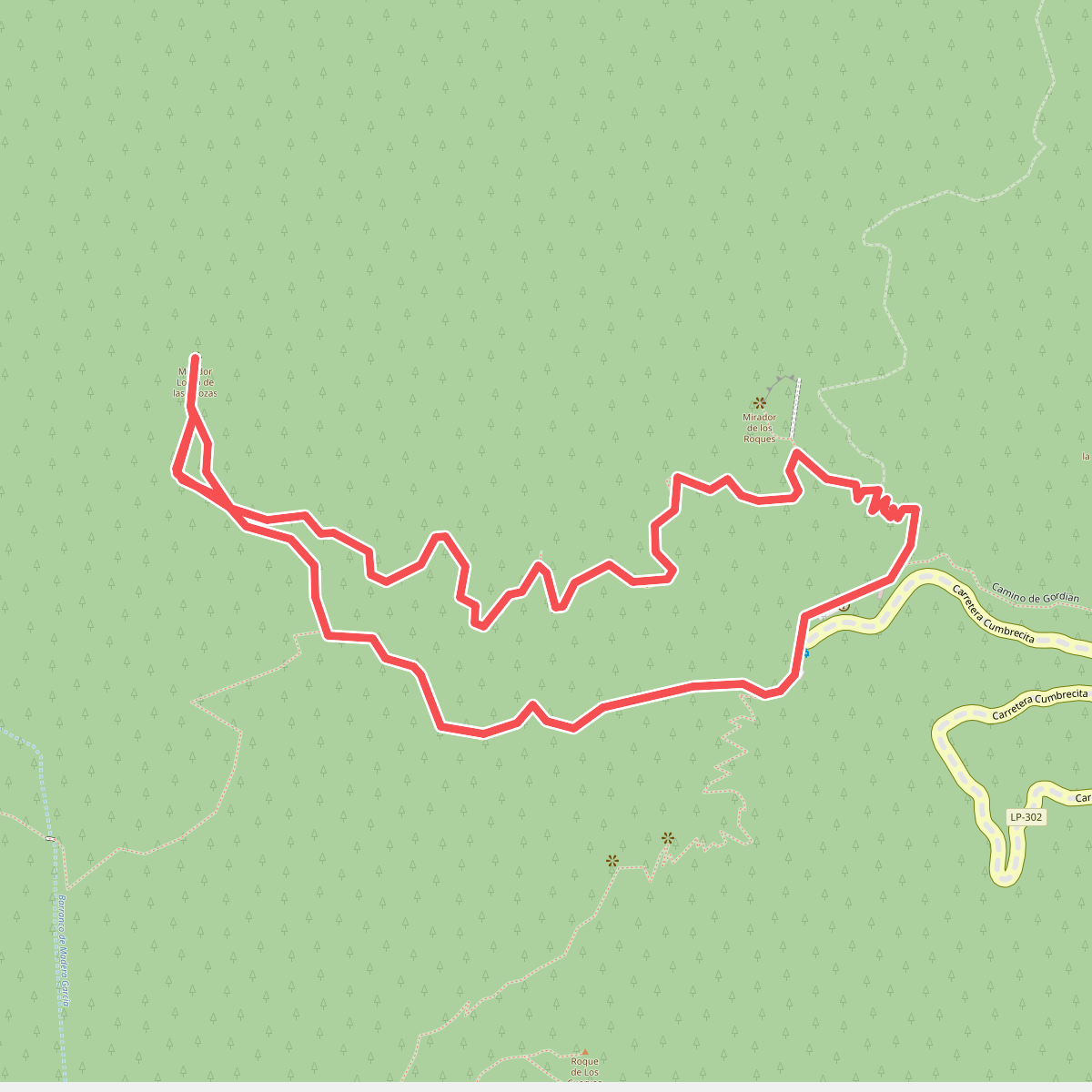
#4. La Cumbrecita – Lomo de las Chozas
El Paso
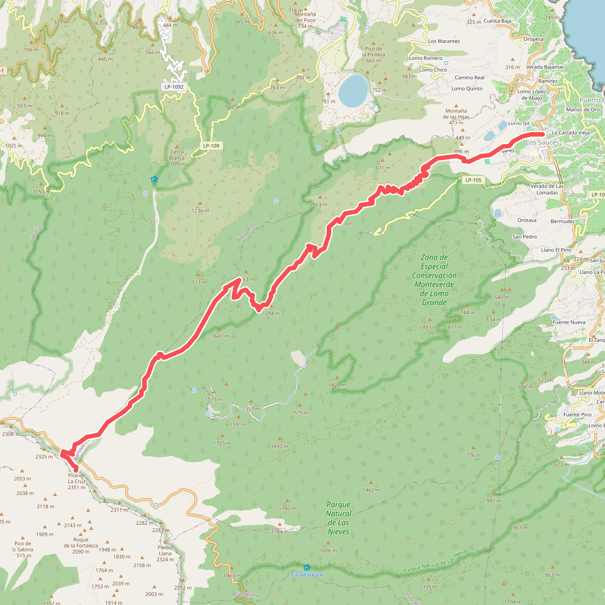
#5. Los Sauces-Pico de La Cruz
San Andrés y Sauces,Barlovento,El Paso
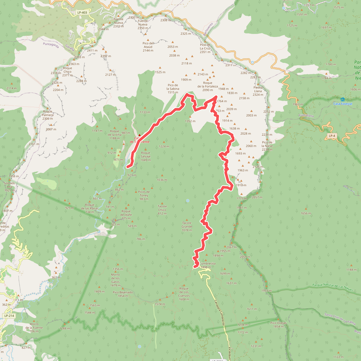
#6. Mirador de la Cumbrecita - Caldera de Taburiente
El Paso
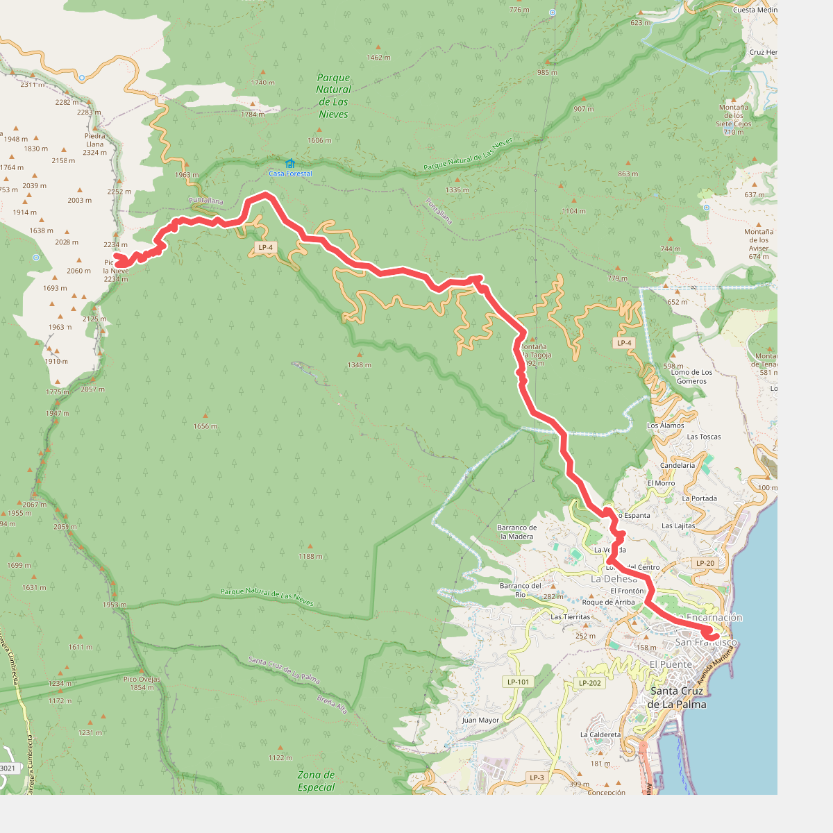
#7. Pico de La Nieve - Santa Cruz de La Palma
El Paso,Santa Cruz de La Palma
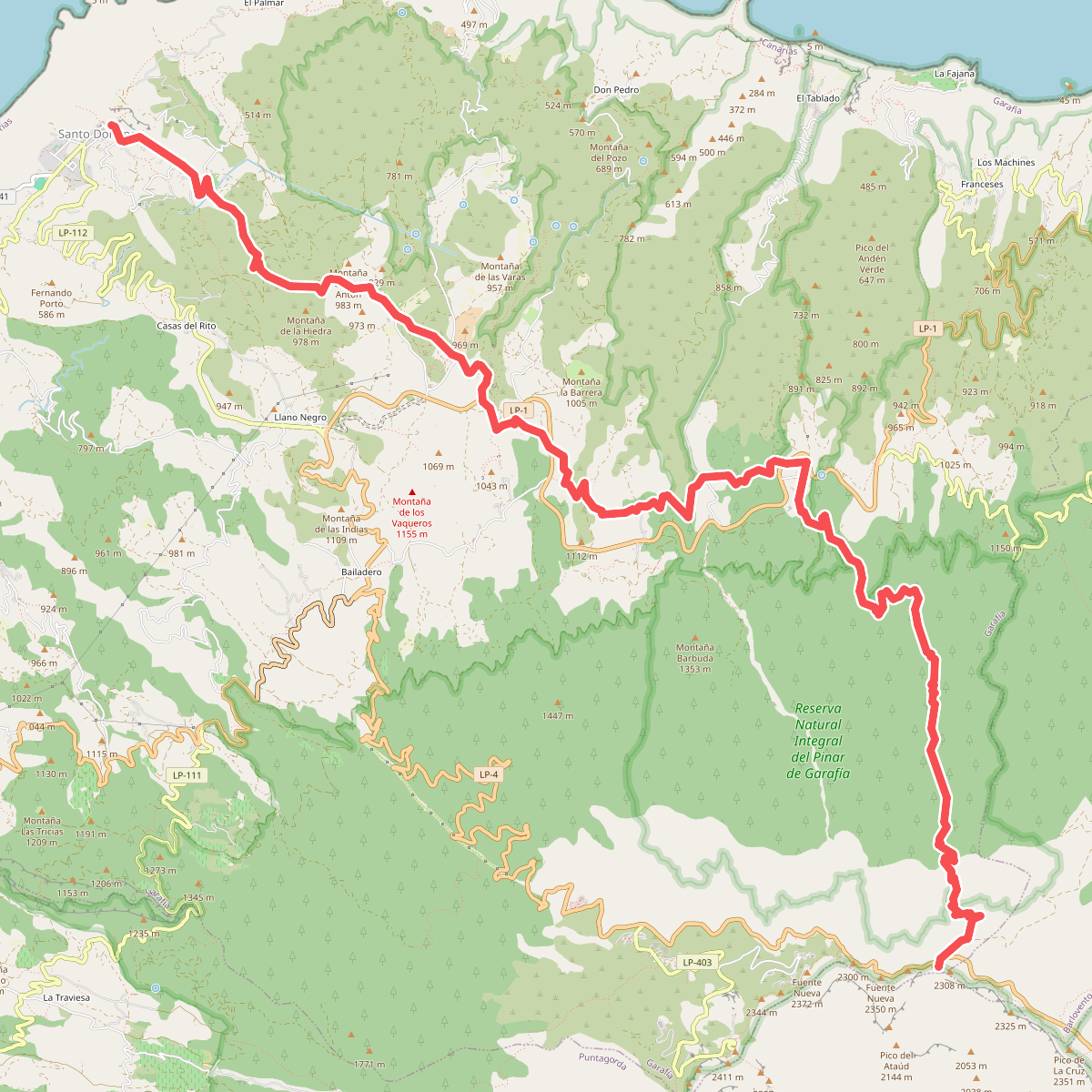
#8. Santo Domingo-Pico de La Cruz
Garafía



