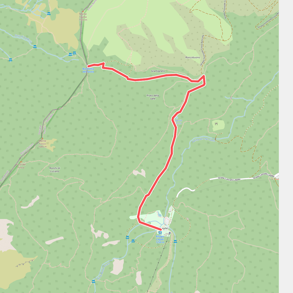
The best hiking routes in Parco Nazionale dell'Appennino Tosco-Emiliano
Discover the best walks in Parco Nazionale dell'Appennino Tosco-Emiliano. 115 routes on the map, with descriptions, photos and GPX.
Managed by Ente Parco Nazionale dell'Appennino tosco emiliano
About Parco Nazionale dell'Appennino Tosco-Emiliano
Parco Nazionale dell'Appennino Tosco-Emiliano spans the high ridge line dividing Tuscany and Emilia-Romagna. Unlike the sharp limestone peaks found in other parts of Italy, this park is characterized by rounded sandstone summits, steep grassy ridges, and glacial cirques containing small tarns. Walkers will notice a stark contrast between the northern slopes, which are heavily forested with beech and fir, and the southern Tuscan side, where the terrain drops more abruptly into rugged clay gullies and chestnut woods.
Read more
About Parco Nazionale dell'Appennino Tosco-Emiliano
Parco Nazionale dell'Appennino Tosco-Emiliano spans the high ridge line dividing Tuscany and Emilia-Romagna. Unlike the sharp limestone peaks found in other parts of Italy, this park is characterized by rounded sandstone summits, steep grassy ridges, and glacial cirques containing small tarns. Walkers will notice a stark contrast between the northern slopes, which are heavily forested with beech and fir, and the southern Tuscan side, where the terrain drops more abruptly into rugged clay gullies and chestnut woods.
Read moreParco Nazionale dell'Appennino Tosco-Emiliano spans the high ridge line dividing Tuscany and Emilia-Romagna. Unlike the sharp limestone peaks found in other parts of Italy, this park is characterized by rounded sandstone summits, steep grassy ridges, and glacial cirques containing small tarns. Walkers will notice a stark contrast between the northern slopes, which are heavily forested with beech and fir, and the southern Tuscan side, where the terrain drops more abruptly into rugged clay gullies and chestnut woods.
Underfoot, the trails vary from soft, leaf-strewn dirt paths under the deep forest canopy to loose shale and exposed sandstone slabs along the open ridges. The main ridge trail, part of the Alta Via dei Parchi, requires steady footwork on rocky, narrow paths that are often exposed to strong mountain drafts. In October, the beech forests on the lower slopes turn a deep copper color, while the high meadows above the treeline turn a dry, pale straw hue.
This is a mountain landscape of ridge walks and high passes, not a place of gentle, flat valley strolls. While the main summits like Monte Cusna and Monte Prado attract local hikers on summer weekends, the vast network of forested side trails remains quiet. Walkers should expect significant elevation changes and trails that are often marked by red-and-white paint on rocks and tree trunks rather than signposts at every junction.
Hiking routes in Parco Nazionale dell'Appennino Tosco-Emiliano (115)
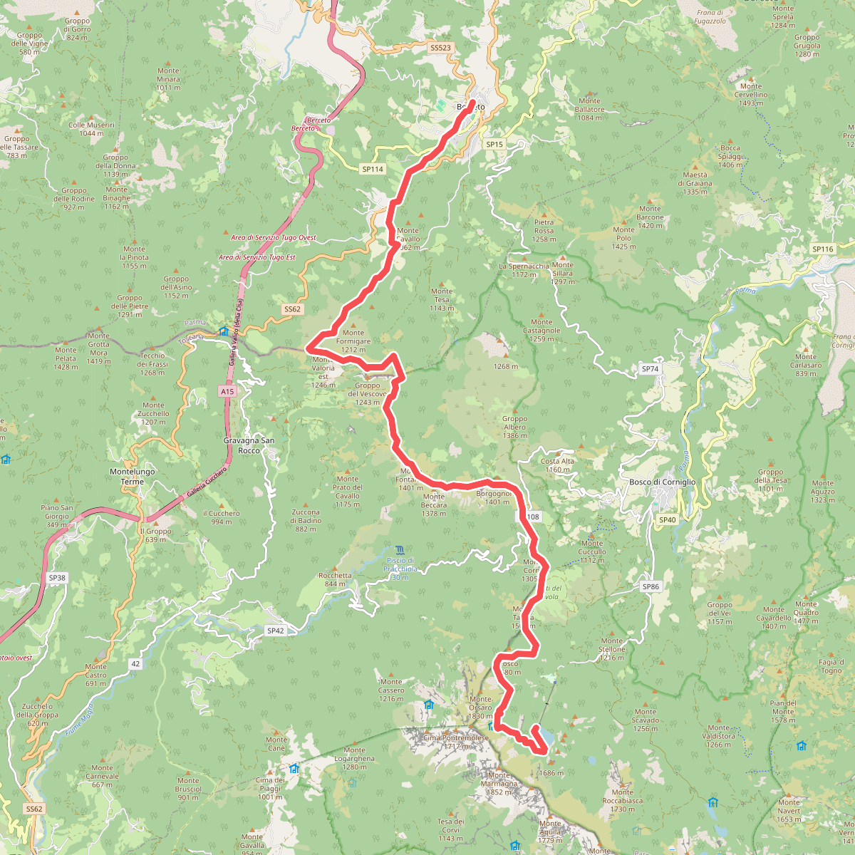
#1. Alta via dei Parchi: Tappa 01
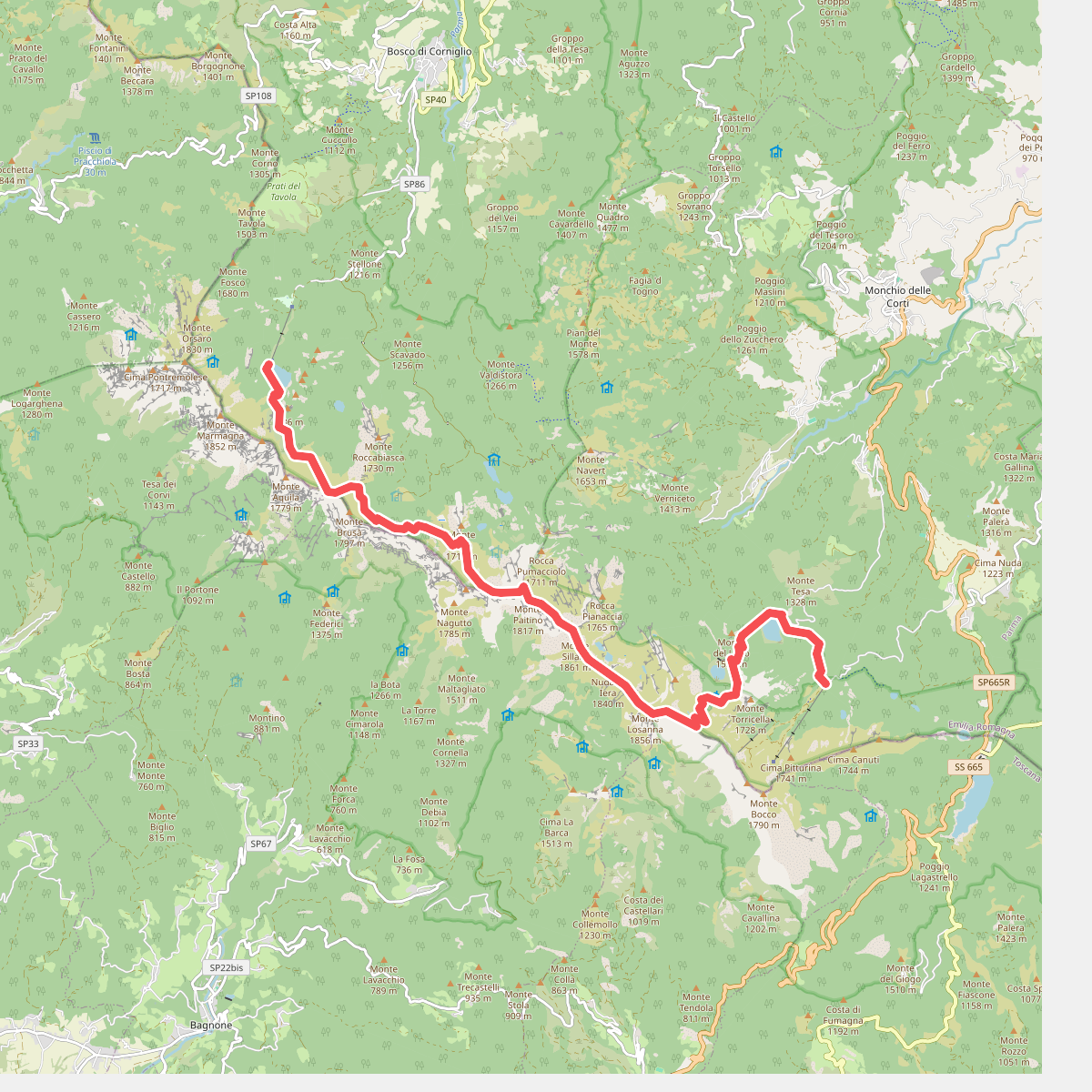
#2. Alta via dei Parchi: Tappa 02
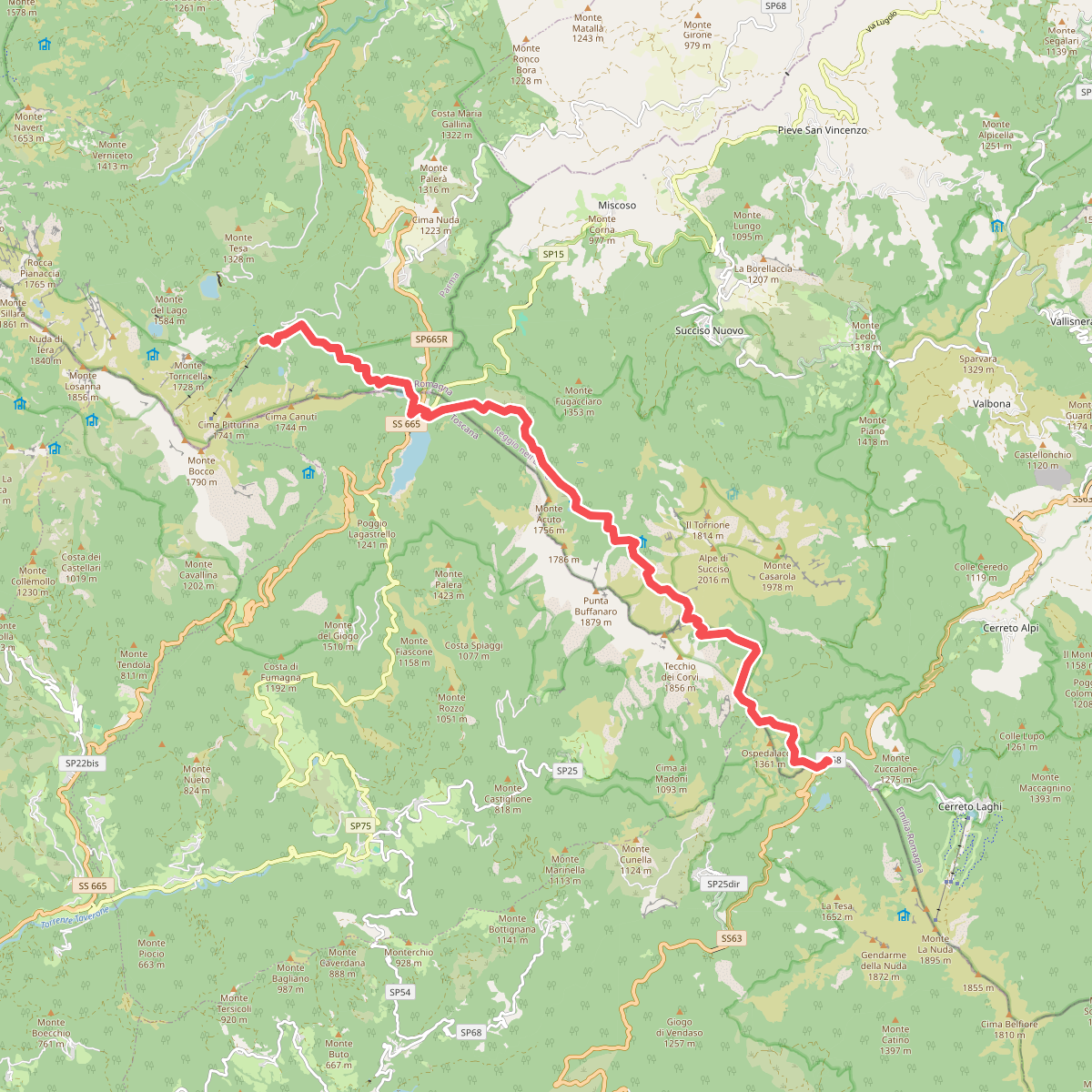
#3. Alta via dei Parchi: Tappa 03
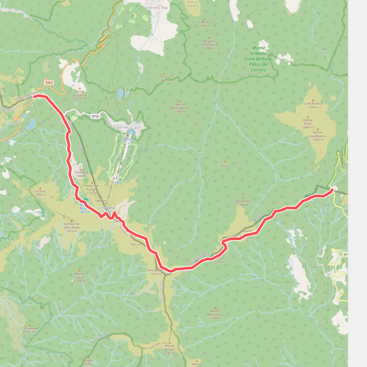
#4. Alta via dei Parchi: Tappa 04
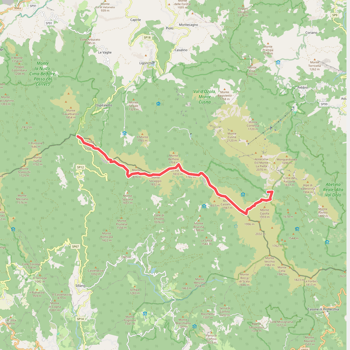
#5. Alta via dei Parchi: Tappa 05
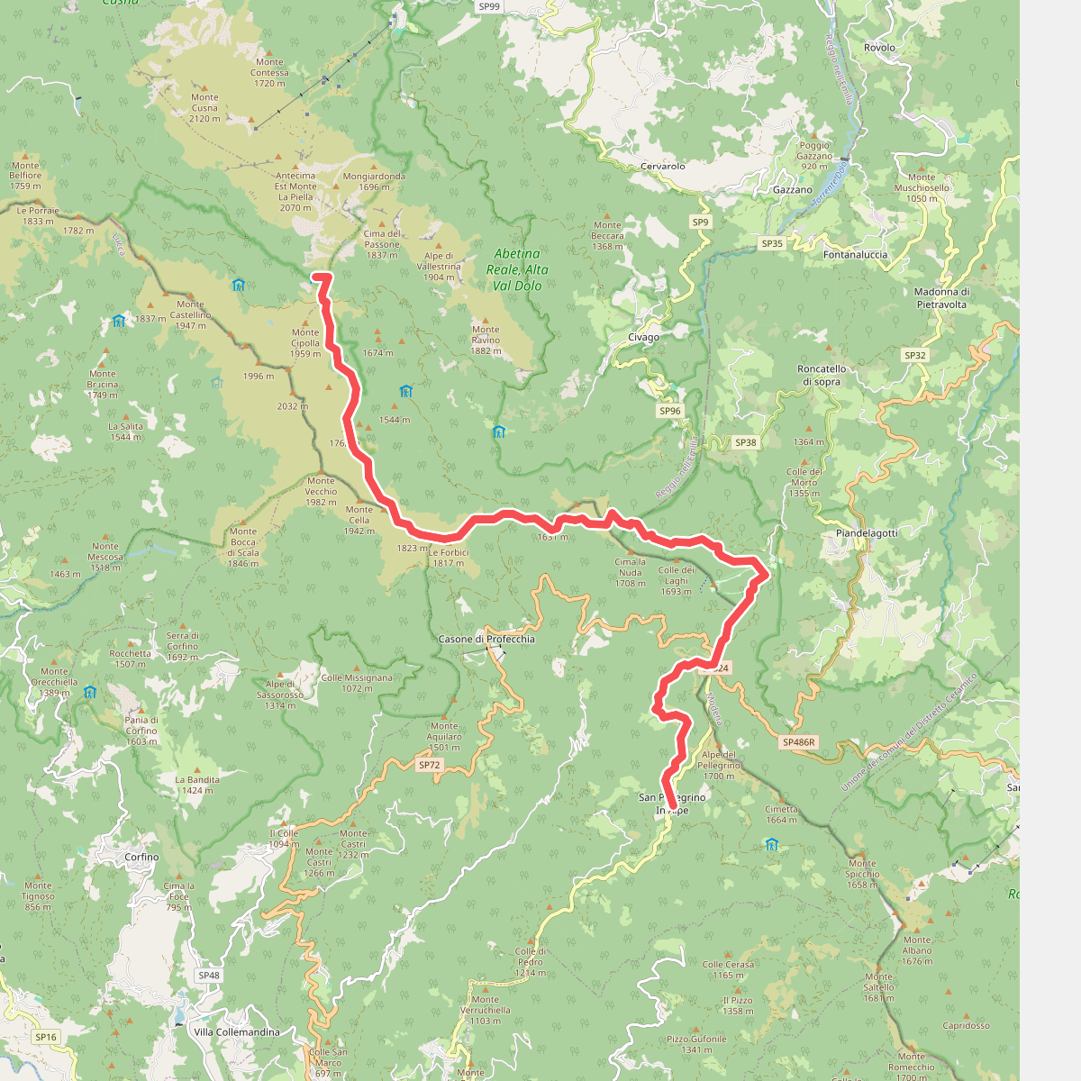
#6. Alta via dei Parchi: Tappa 06
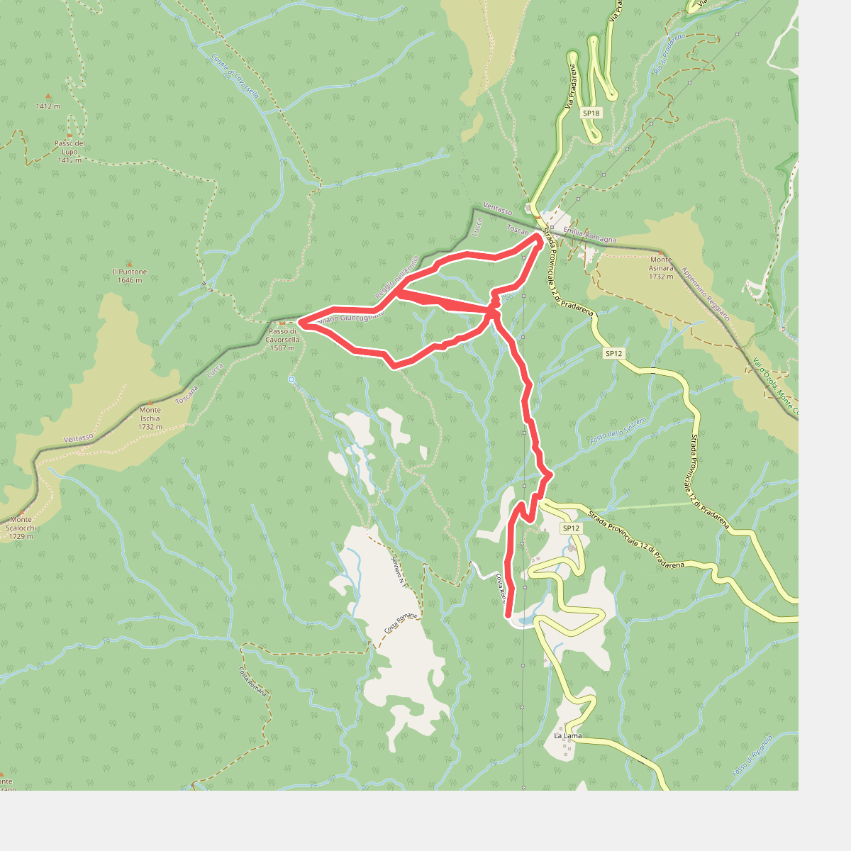
#7. Anello della Contessa
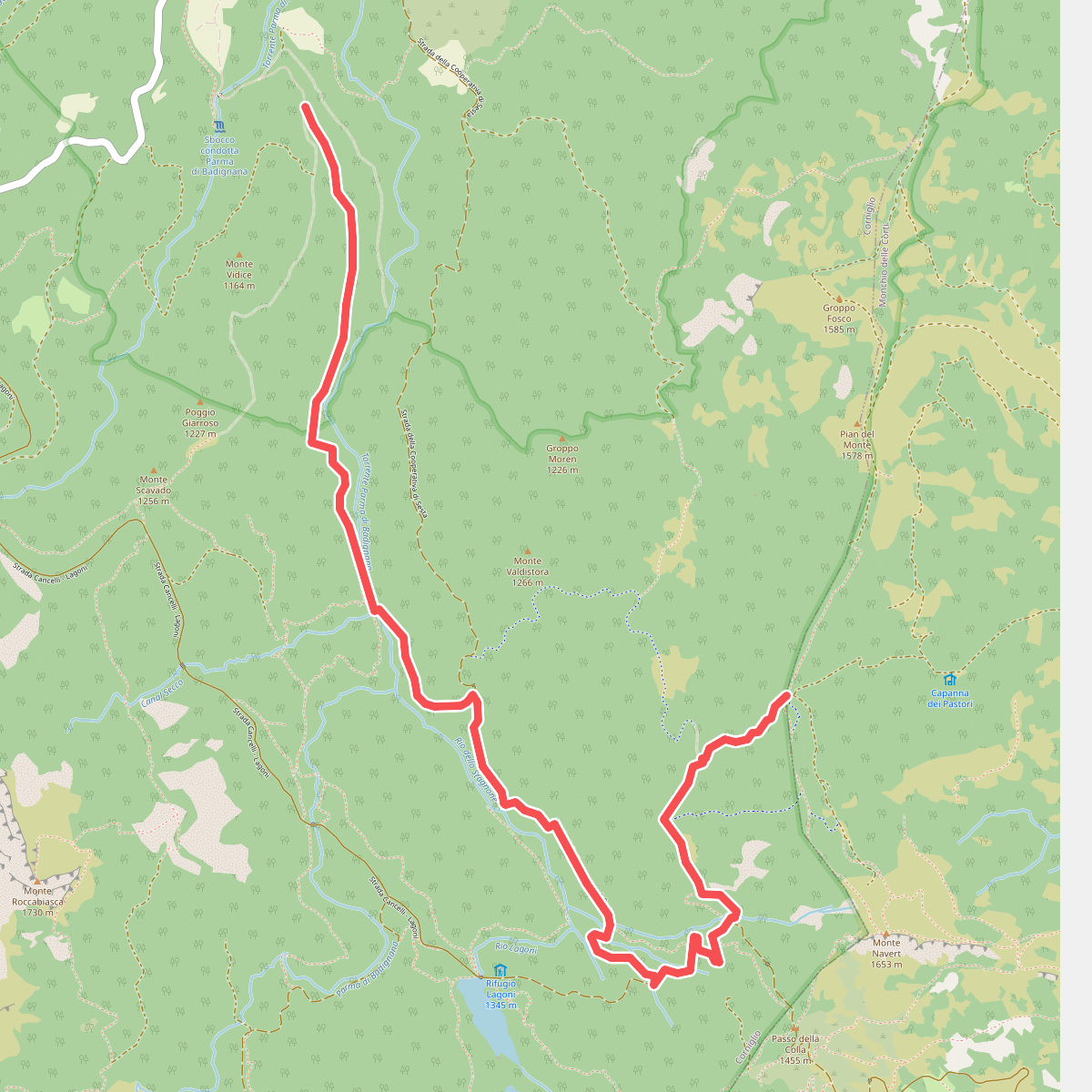
#8. Bivio 721-Gli Stagnoni-Strada della Colla-Pian del Freddo
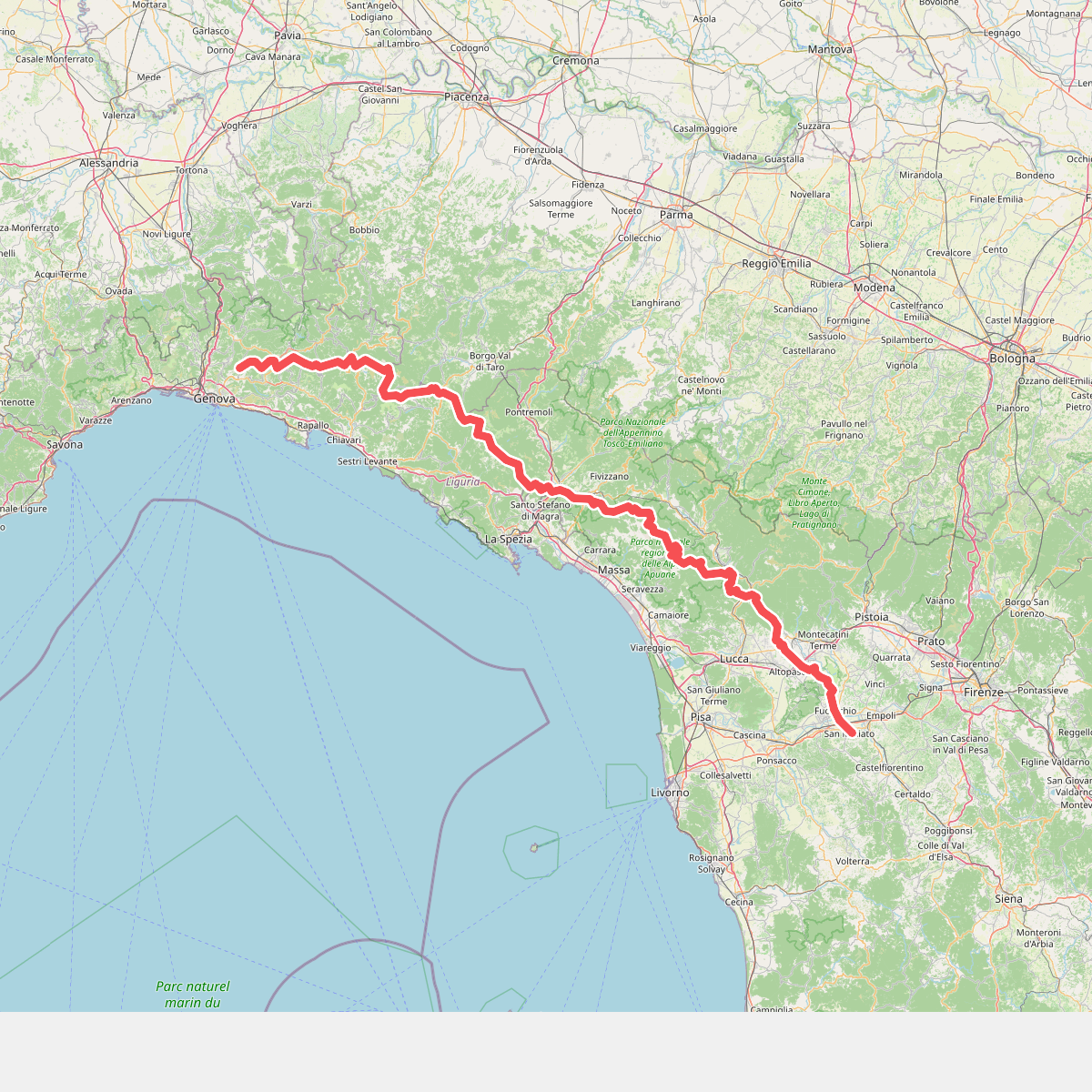
#9. Cammino di Assisi, Genova - San Miniato
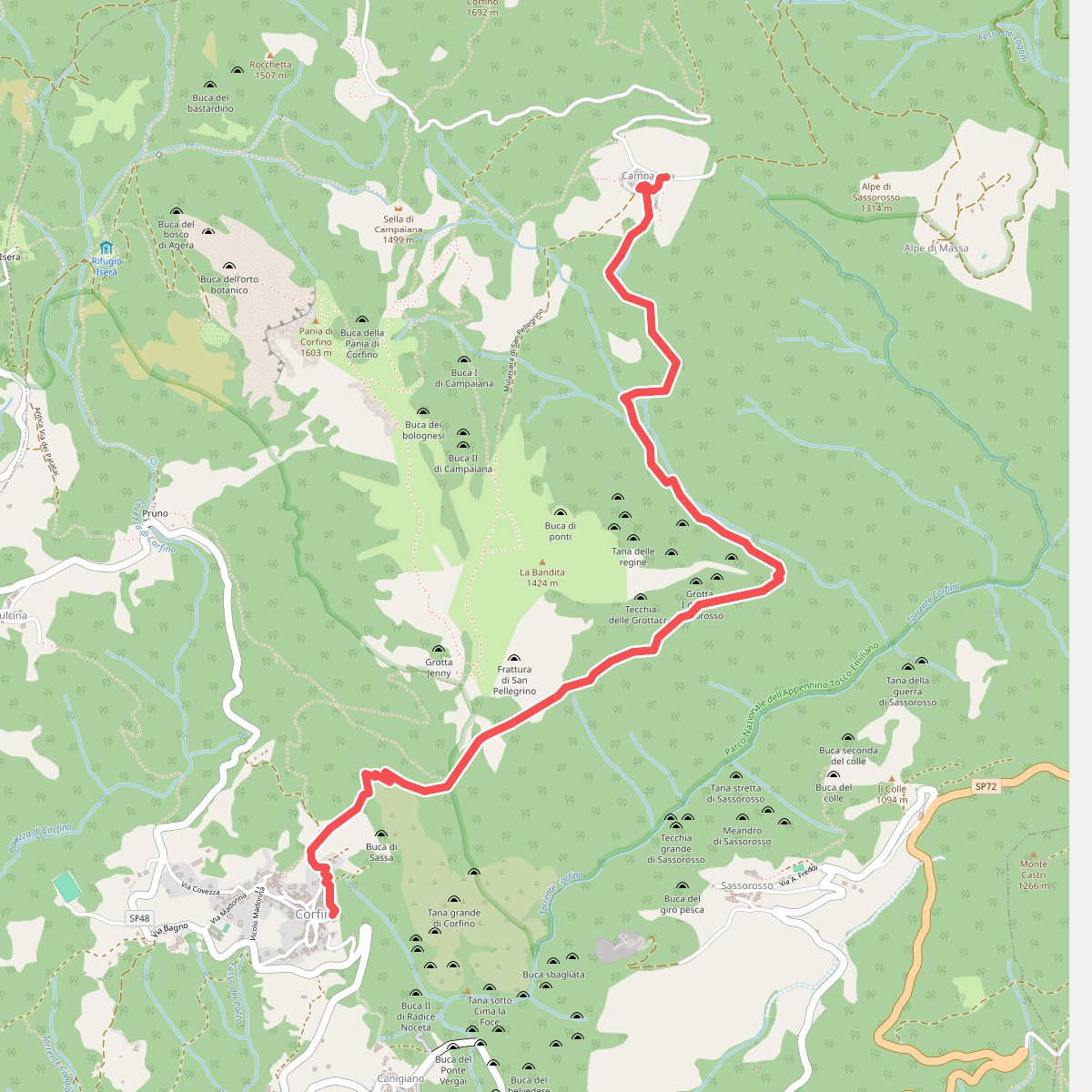
#10. Corfino - Le Grottacce - Fontana dell’Amore - Campaiana
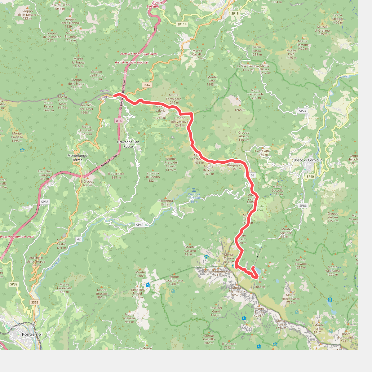
#11. E1 Toscana 02 Passo della Cisa - Lago Santo Parmense