

The best hiking routes in Parco Naturale Regionale Terra delle Gravine
Discover the best walks in Parco Naturale Regionale Terra delle Gravine. 11 routes on the map, with descriptions, photos and GPX.
Managed by Provincia di Taranto
About Parco Naturale Regionale Terra delle Gravine
Parco Naturale Regionale Terra delle Gravine is defined by its deep, steep-sided limestone canyons, known locally as gravine, which cut through the semi-arid Murge plateau. Unlike the flat agricultural plains surrounding this part of Puglia, the park offers a rugged, sunken landscape where walkers descend from dry, rocky pastures into sheltered, humid gorge bottoms. The contrast underfoot is immediate: the upper trails consist of exposed, sharp limestone tracks and red soil, while the canyon floors feature dense Mediterranean macchia, oak woodlands, and softer alluvial earth.
Read more
About Parco Naturale Regionale Terra delle Gravine
Parco Naturale Regionale Terra delle Gravine is defined by its deep, steep-sided limestone canyons, known locally as gravine, which cut through the semi-arid Murge plateau. Unlike the flat agricultural plains surrounding this part of Puglia, the park offers a rugged, sunken landscape where walkers descend from dry, rocky pastures into sheltered, humid gorge bottoms. The contrast underfoot is immediate: the upper trails consist of exposed, sharp limestone tracks and red soil, while the canyon floors feature dense Mediterranean macchia, oak woodlands, and softer alluvial earth.
Read moreParco Naturale Regionale Terra delle Gravine is defined by its deep, steep-sided limestone canyons, known locally as gravine, which cut through the semi-arid Murge plateau. Unlike the flat agricultural plains surrounding this part of Puglia, the park offers a rugged, sunken landscape where walkers descend from dry, rocky pastures into sheltered, humid gorge bottoms. The contrast underfoot is immediate: the upper trails consist of exposed, sharp limestone tracks and red soil, while the canyon floors feature dense Mediterranean macchia, oak woodlands, and softer alluvial earth.
Walking here requires careful navigation of these elevation changes. The paths often transition from wide, sun-exposed cart tracks on the plateau to narrow, rocky steps that wind down the canyon walls. Inside the gorges, the microclimate supports lush vegetation like wild fig trees and ferns, which are absent on the dry plains above. You will also notice numerous cave dwellings and rock-cut churches carved directly into the soft calcarenite cliffs, a characteristic feature visible from the trailside.
This is not a high-mountain destination with sweeping alpine vistas, but rather a subterranean network of valleys where views are framed by towering rock walls. While the plateau tracks are straightforward, the descents into the canyons can be steep and uneven, requiring steady footing on loose stones. The area is generally quiet, though the more accessible gorge sections near towns like Laterza and Grottaglie see more foot traffic on weekends.
Hiking routes in Parco Naturale Regionale Terra delle Gravine (11)
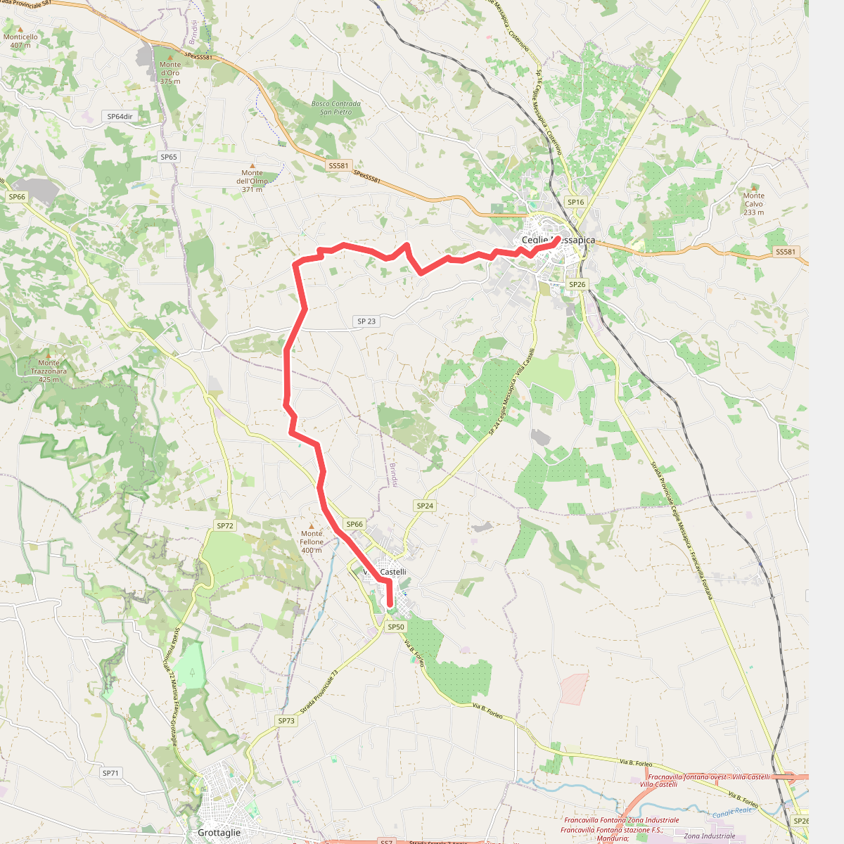
#1. Anello d'oro di Puglia (Tappa 3)
Ceglie Messapica,Martina Franca,Villa Castelli
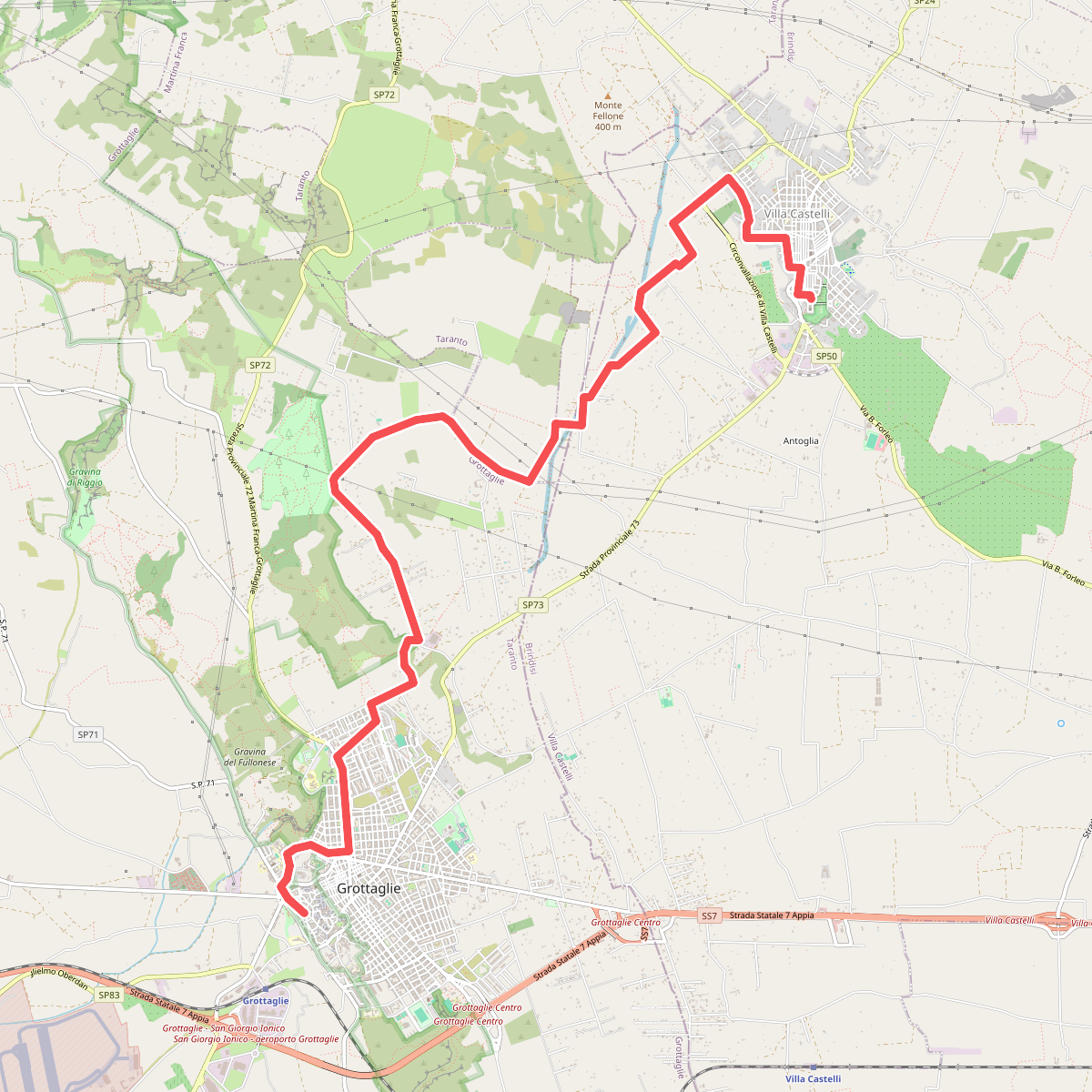
#2. Anello d'oro di Puglia (Tappa 4)
Villa Castelli,Taranto,Grottaglie
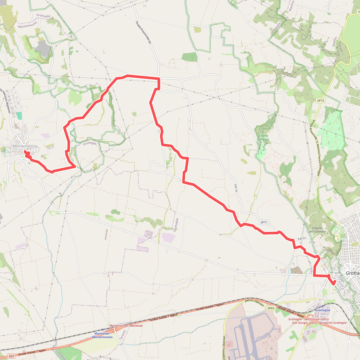
#3. Anello d'oro di Puglia (Tappa 5)
Grottaglie,Montemesola
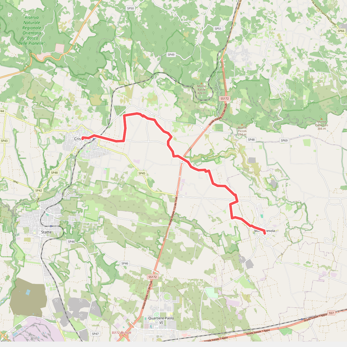
#4. Anello d'oro di Puglia (Tappa 6)
Montemesola,Crispiano
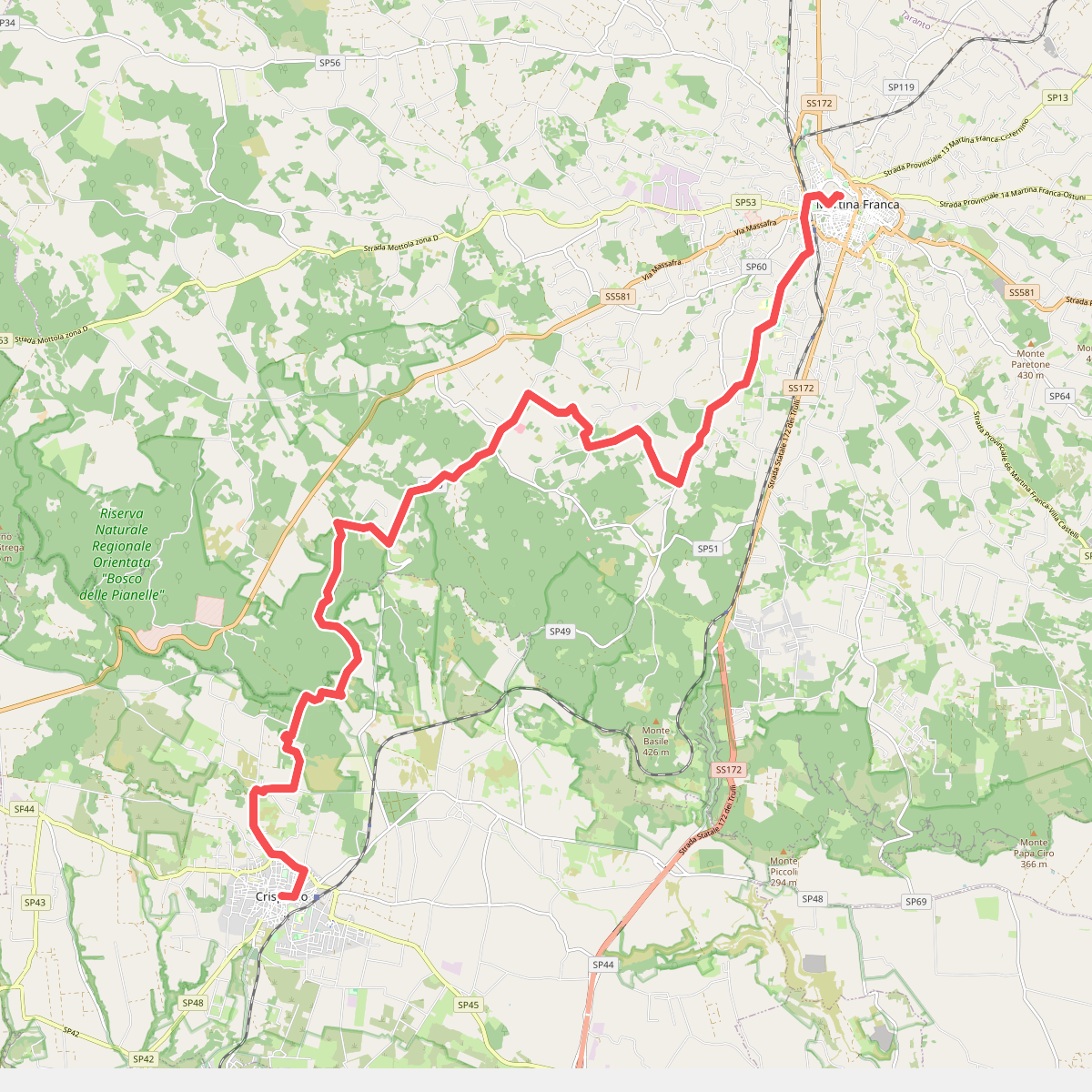
#5. Anello d'oro di Puglia (Tappa 7)
Crispiano,Martina Franca
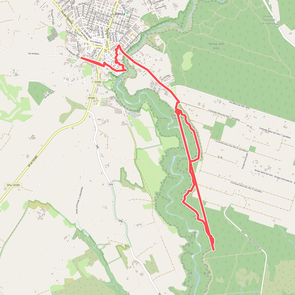
#6. Geotouristic Paths
Laterza
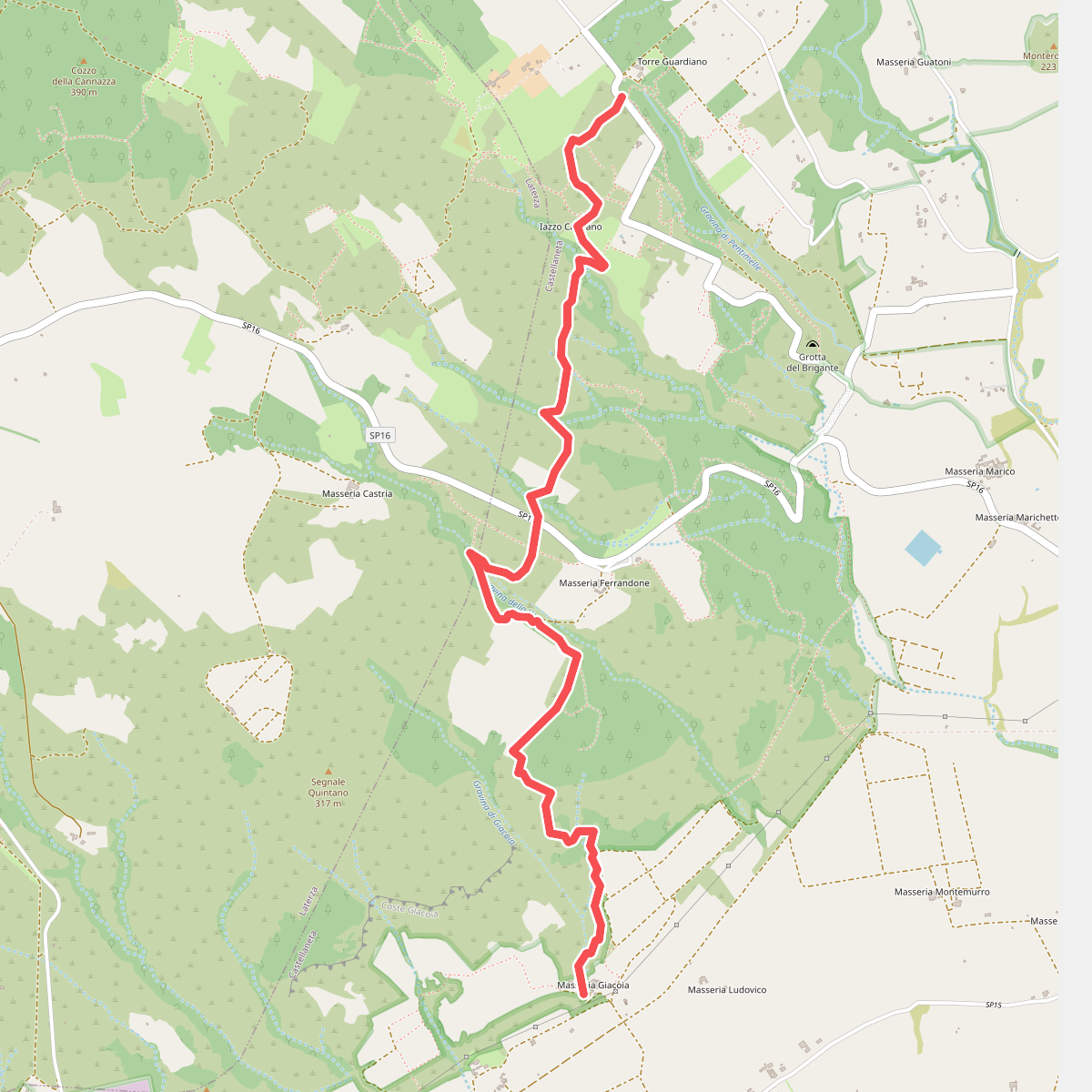
#7. Sentiero del Capraro
Castellaneta
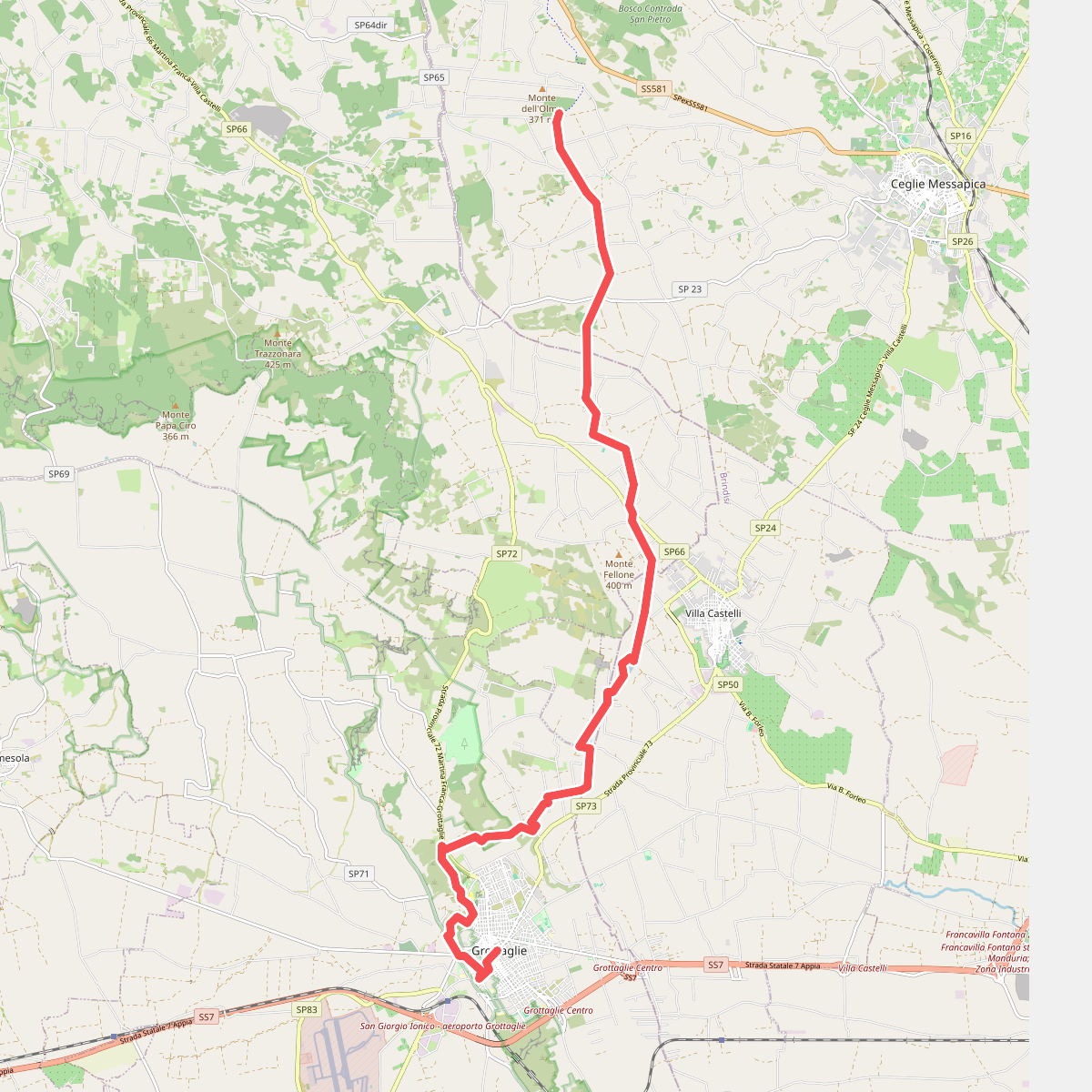
#8. Sentiero Italia · SI
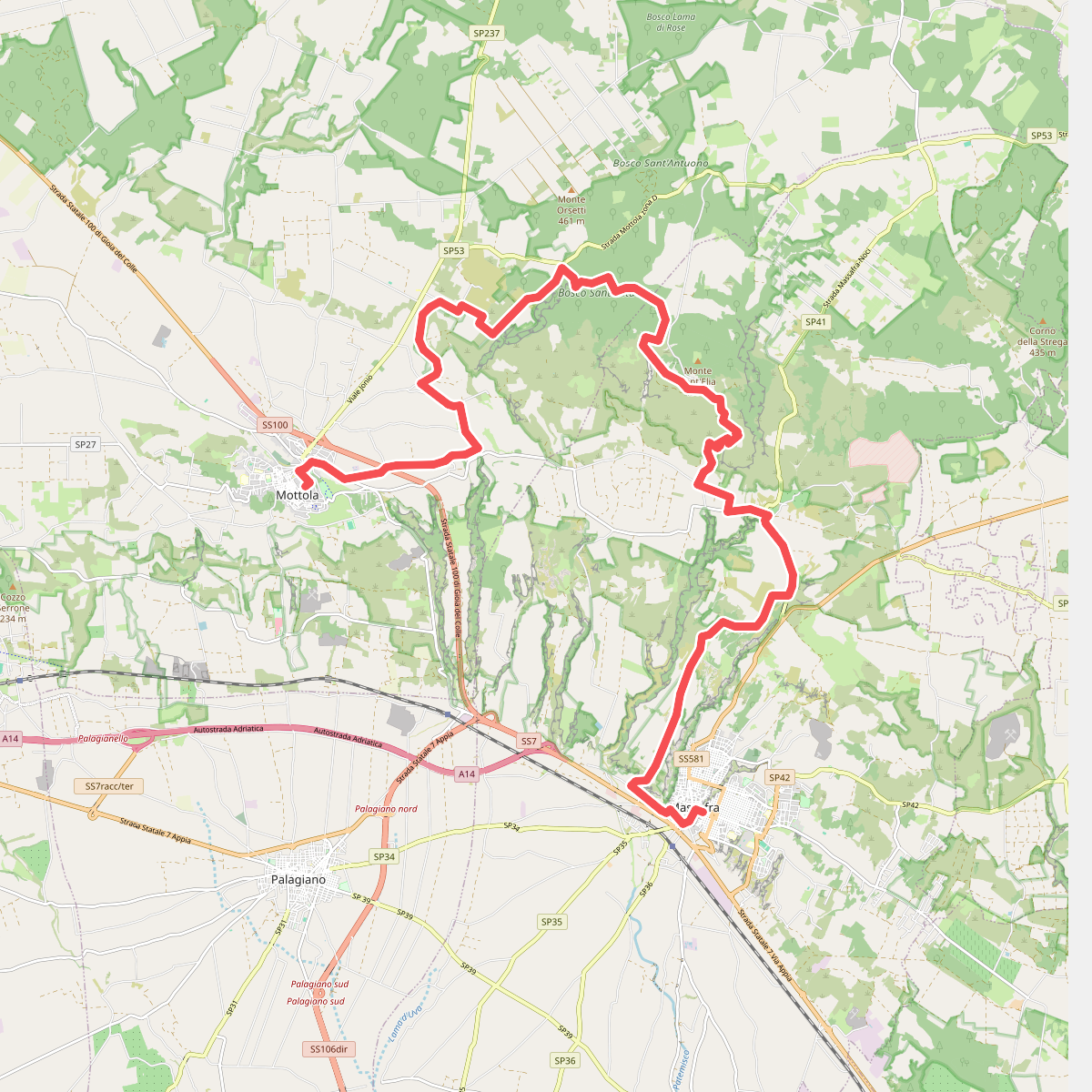
#9. Sentiero Italia - Tappa R04GRV
Massafra,Mottola
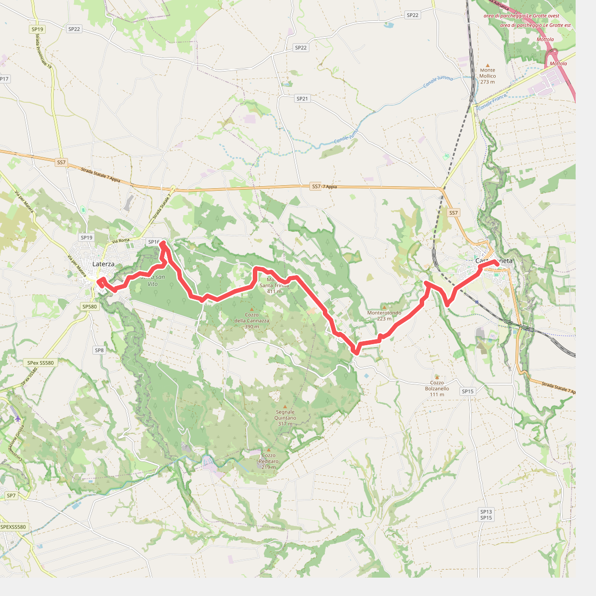
#10. Sentiero Italia - Tappa R06GRV
Castellaneta,Laterza
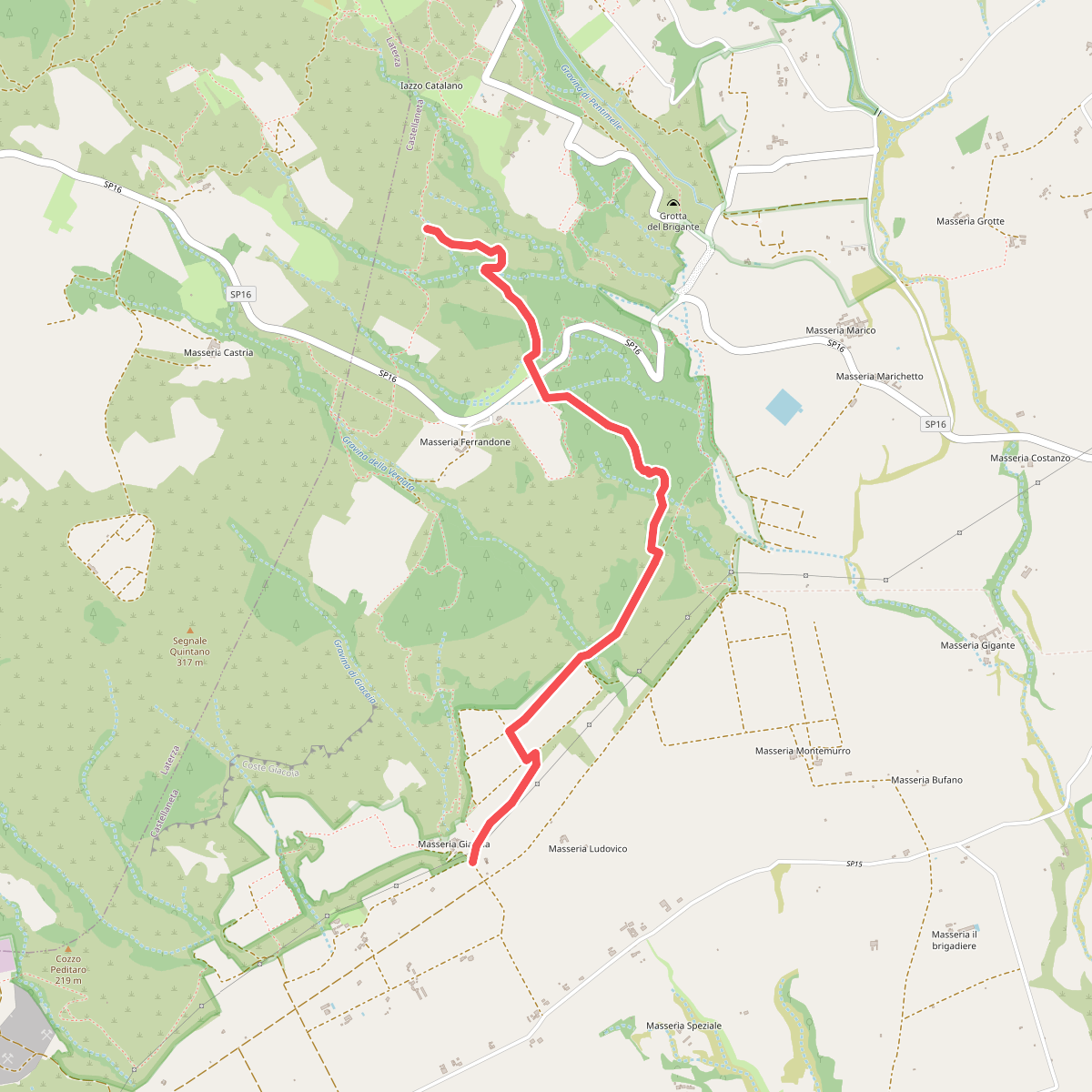
#11. Sentiero Torrente Dimenticato
Castellaneta



