The best hiking routes in Parco Naturale Regionale Fiume Ofanto
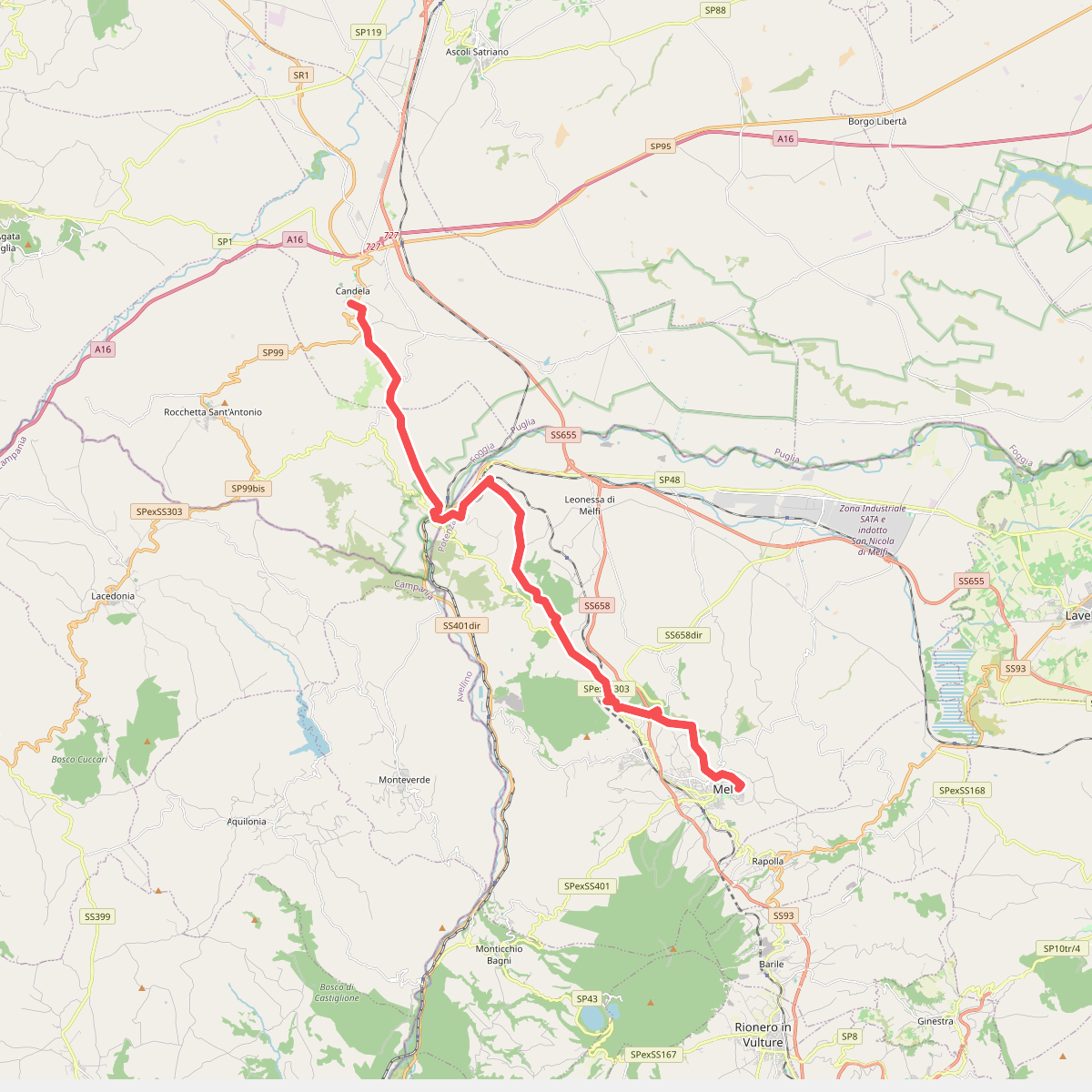
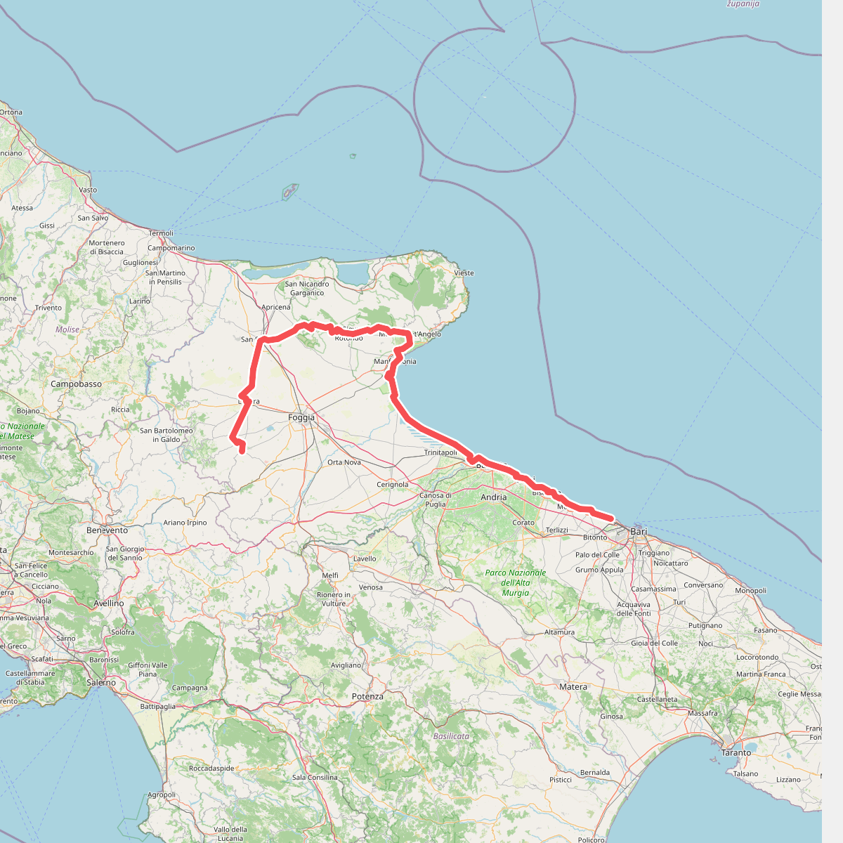
Discover the best walks in Parco Naturale Regionale Fiume Ofanto. 2 routes on the map, with descriptions, photos and GPX.
About Parco Naturale Regionale Fiume Ofanto
The Parco Naturale Regionale Fiume Ofanto follows the course of Puglia's longest river, offering a landscape defined by water movement and agricultural shaping rather than pristine wilderness. Walking here means navigating a corridor of riparian woods, reed beds, and wide gravelly riverbeds that contrast sharply with the dry, olive-dominated plains of the surrounding region. The terrain is flat to gently sloping, characterized by alluvial terraces and clay-heavy soils that can feel firm or sticky depending on recent river flows.
Read more
About Parco Naturale Regionale Fiume Ofanto
The Parco Naturale Regionale Fiume Ofanto follows the course of Puglia's longest river, offering a landscape defined by water movement and agricultural shaping rather than pristine wilderness. Walking here means navigating a corridor of riparian woods, reed beds, and wide gravelly riverbeds that contrast sharply with the dry, olive-dominated plains of the surrounding region. The terrain is flat to gently sloping, characterized by alluvial terraces and clay-heavy soils that can feel firm or sticky depending on recent river flows.
Read moreThe Parco Naturale Regionale Fiume Ofanto follows the course of Puglia's longest river, offering a landscape defined by water movement and agricultural shaping rather than pristine wilderness. Walking here means navigating a corridor of riparian woods, reed beds, and wide gravelly riverbeds that contrast sharply with the dry, olive-dominated plains of the surrounding region. The terrain is flat to gently sloping, characterized by alluvial terraces and clay-heavy soils that can feel firm or sticky depending on recent river flows.
Underfoot, the paths vary from dusty farm tracks and gravelly banks near the river channel to overgrown dirt paths cutting through poplars, willows, and tamarisks. You will notice how the landscape changes from the upper valley, where the river cuts narrower passages, to the wide, slow-moving delta near Barletta. The area is heavily integrated with local farming, so walkers will frequently pass active vineyards, olive groves, and irrigation infrastructure alongside the natural riverbanks.
This is not a park of deep gorges or high mountain peaks, but a low-lying river corridor where the main interest lies in birdlife and the transition from freshwater habitats to salt marshes near the Adriatic mouth. The riverbanks are often quiet, though areas near bridges and main road crossings see more local activity. It is a working landscape where nature and southern Italian agriculture exist side by side along the watercourse.