

The best hiking routes in Parco Naturale Regionale del Beigua
Discover the best walks in Parco Naturale Regionale del Beigua. 31 routes on the map, with descriptions, photos and GPX.
About Parco Naturale Regionale del Beigua
Parco Naturale Regionale del Beigua spans a dramatic transition where the Ligurian Alps meet the Apennines, rising abruptly from the Mediterranean coast. The landscape is defined by its dark, metallic ophiolite rock formations, which crumble into rough, dark gravel underfoot. Unlike typical limestone ranges, these serpentine soils support a sparse, specialized flora, leaving vast stretches of high-altitude moorland and blocky rock fields exposed to the elements. Walking here means navigating a mix of steep, stony mule tracks, grassy ridge paths, and sections of the Alta Via dei Monti Liguri.
Read more
About Parco Naturale Regionale del Beigua
Parco Naturale Regionale del Beigua spans a dramatic transition where the Ligurian Alps meet the Apennines, rising abruptly from the Mediterranean coast. The landscape is defined by its dark, metallic ophiolite rock formations, which crumble into rough, dark gravel underfoot. Unlike typical limestone ranges, these serpentine soils support a sparse, specialized flora, leaving vast stretches of high-altitude moorland and blocky rock fields exposed to the elements. Walking here means navigating a mix of steep, stony mule tracks, grassy ridge paths, and sections of the Alta Via dei Monti Liguri.
Read moreParco Naturale Regionale del Beigua spans a dramatic transition where the Ligurian Alps meet the Apennines, rising abruptly from the Mediterranean coast. The landscape is defined by its dark, metallic ophiolite rock formations, which crumble into rough, dark gravel underfoot. Unlike typical limestone ranges, these serpentine soils support a sparse, specialized flora, leaving vast stretches of high-altitude moorland and blocky rock fields exposed to the elements. Walking here means navigating a mix of steep, stony mule tracks, grassy ridge paths, and sections of the Alta Via dei Monti Liguri.
The park is split between two distinct faces. The southern slopes face the sea, dropping steeply through dry, scrubby Mediterranean macchia and pine forests that are often warm and exposed. In contrast, the northern side of the watershed flattens into beech forests, peat bogs, and wet meadows. Walkers will notice how the vegetation changes within a few steps of crossing the main ridge, shifting from dry, pine-needle-covered paths to damp, leaf-strewn forest soil.
This is a landscape of rugged, wind-swept ridges rather than jagged alpine peaks. The trails are often rocky and require careful footing, particularly on the loose scree slopes near Monte Beigua itself. While the coastal access points can be busy with day-trippers, the interior high plateaus offer a quieter, more austere walking experience where the geology is the main feature.
Hiking routes in Parco Naturale Regionale del Beigua (31)
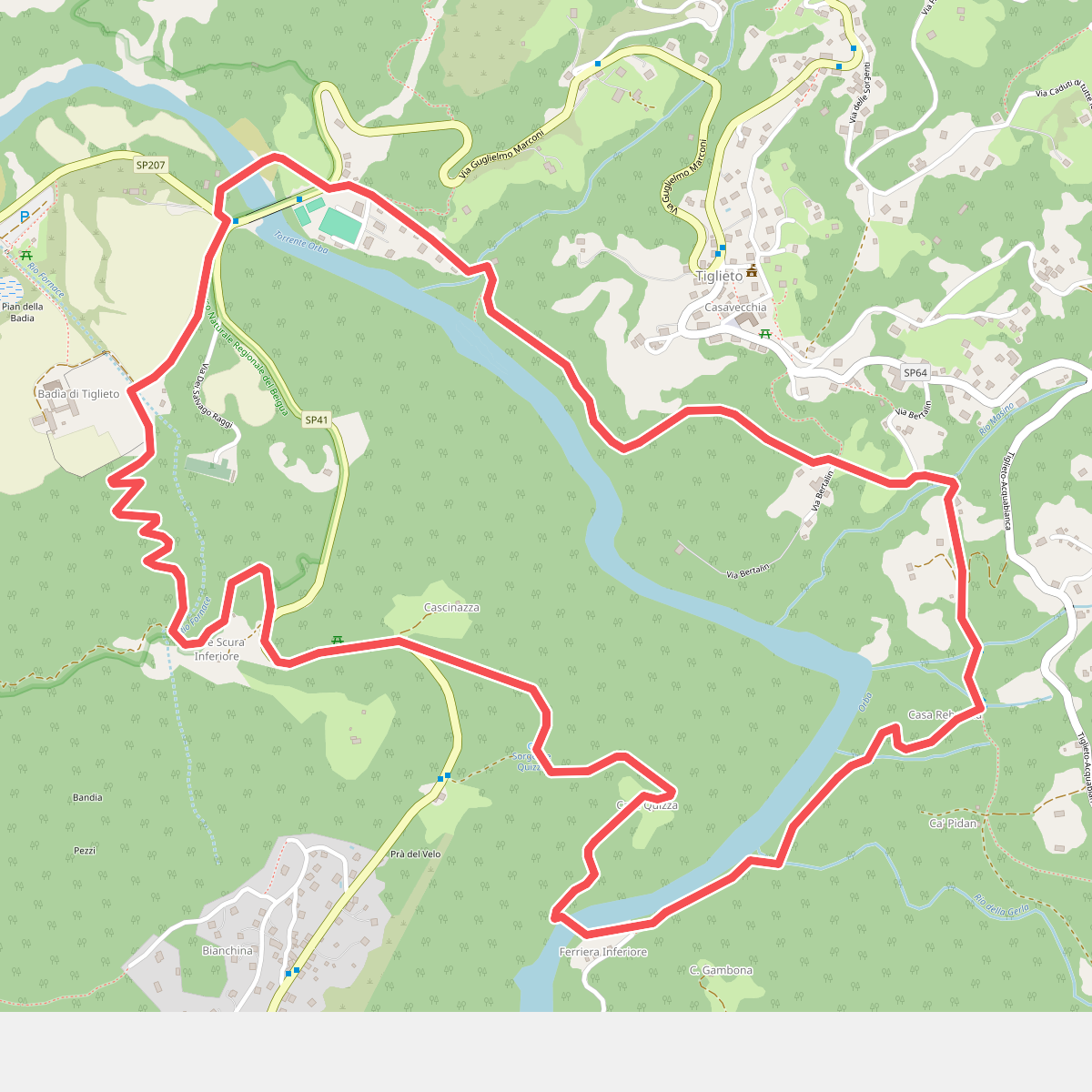
#1. Anello della Badia di Tiglieto
Tiglieto
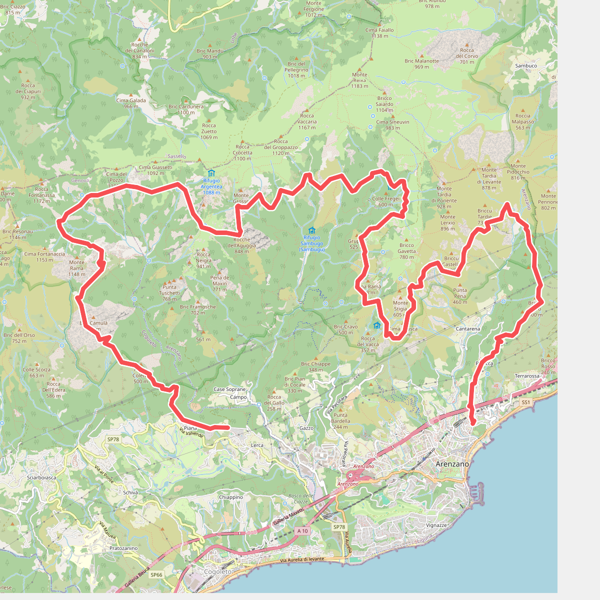
#2. Anello di Arenzano
Arenzano,Genova,Cogoleto
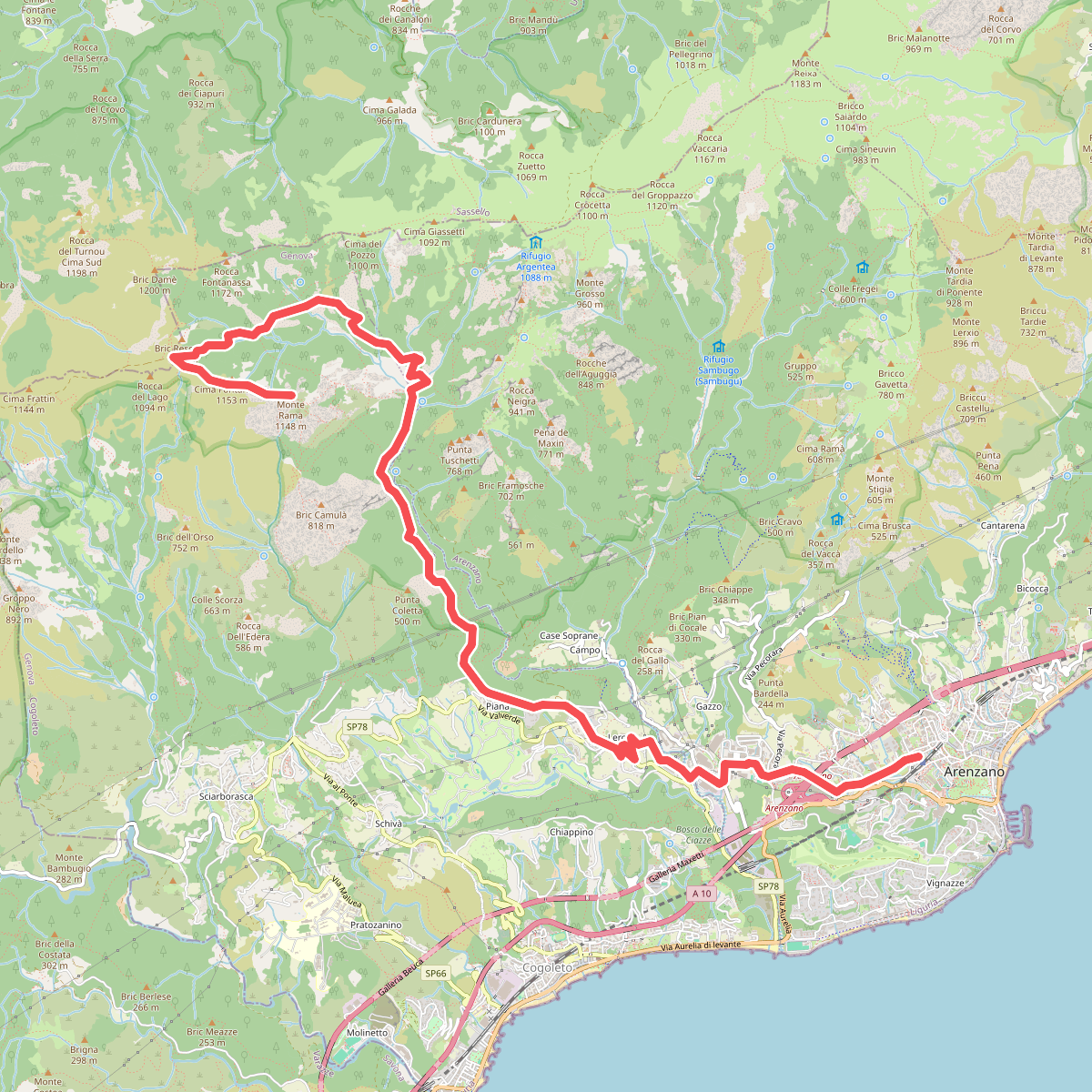
#3. Arenzano-Lerca-Monte Rama
Arenzano,Cogoleto,Sassello
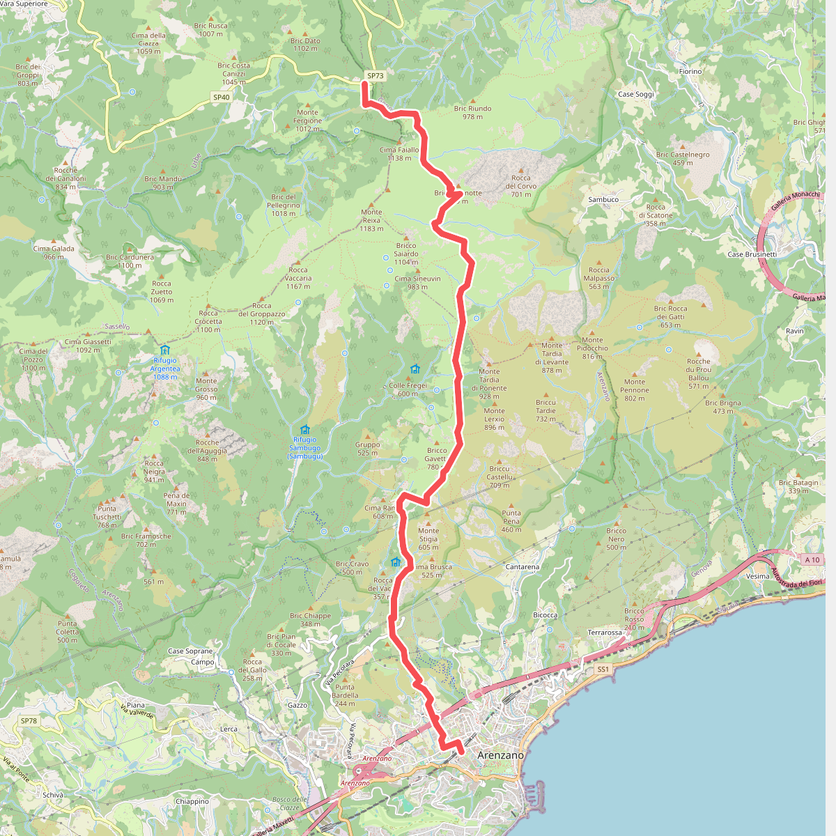
#4. Arenzano - Passo del Faiallo
Arenzano,Genova,Tiglieto
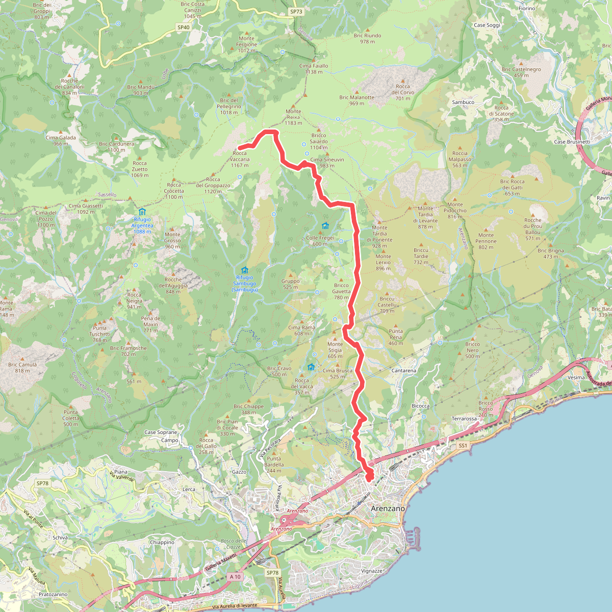
#5. Arenzano - Rocca Vaccaria
Arenzano
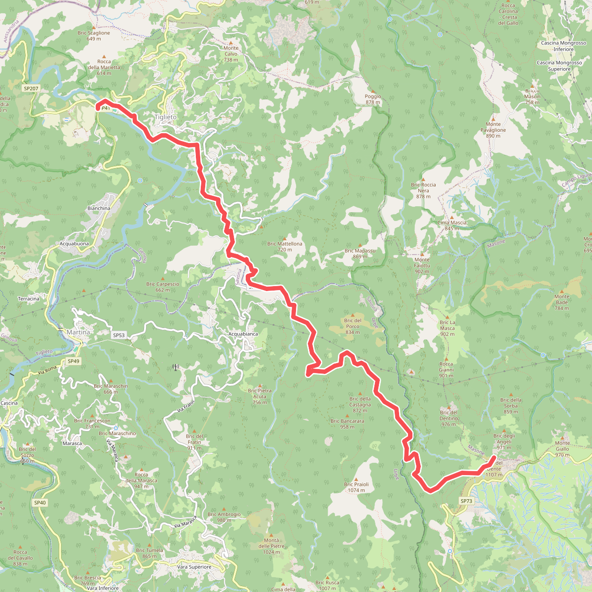
#6. Badia di Tiglieto - Bric del Dente
Tiglieto,Genova,Masone
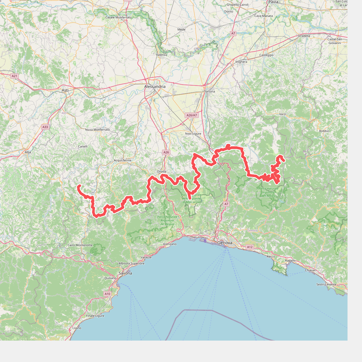
#7. Cammino Piemonte Sud
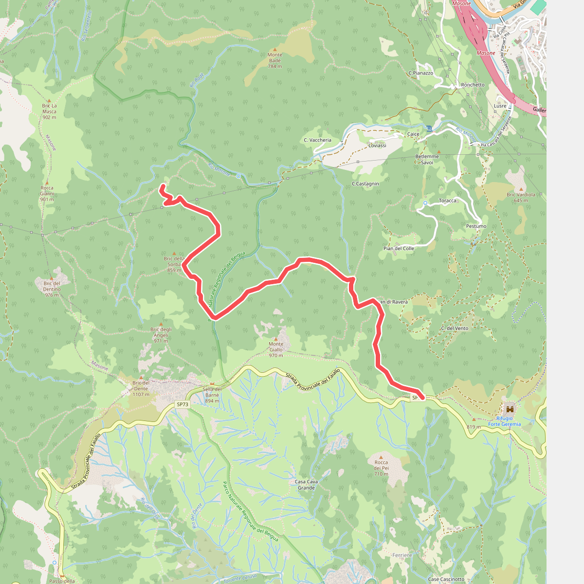
#8. Cascina Troia – Aurucchi
Masone
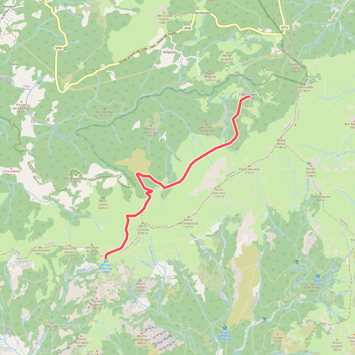
#9. Case Tassara - Rifugio Argentea
Arenzano,Sassello
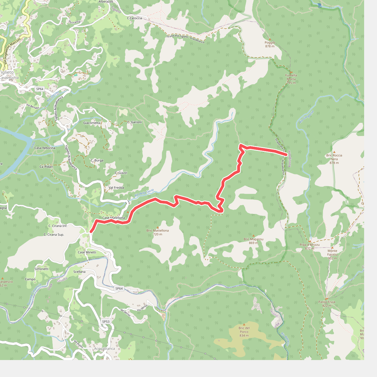
#10. Colla Minetti – Morbetto
Tiglieto
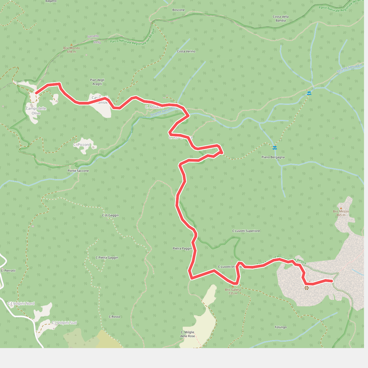
#11. Collegamento AVML - Sentiero cerchio barrato
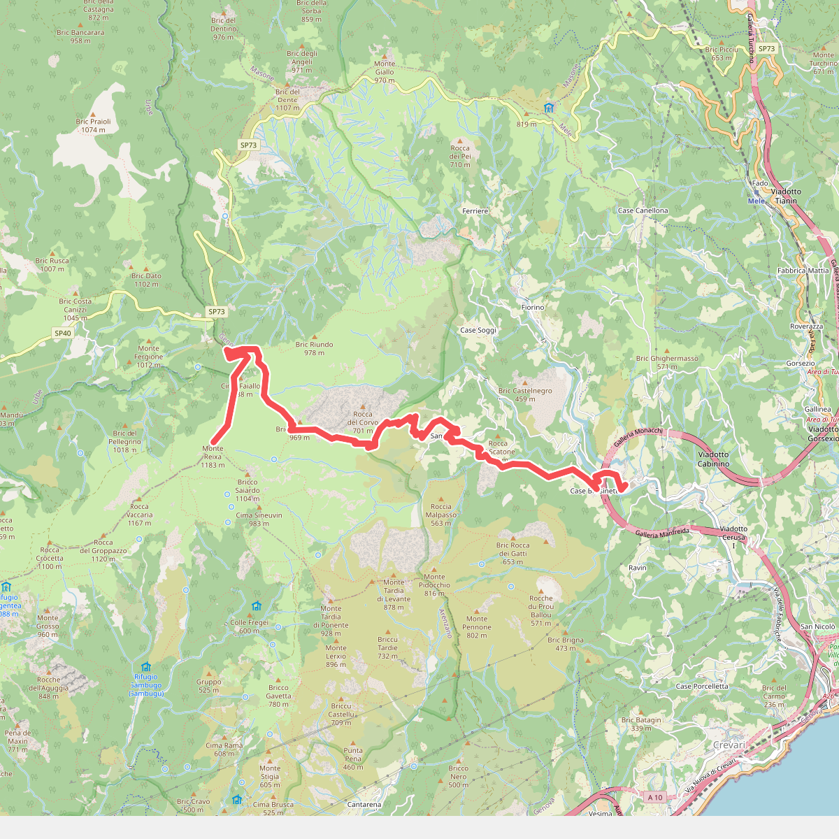
#12. Fabbriche - Sambuco - Monte Reixa
Genova



