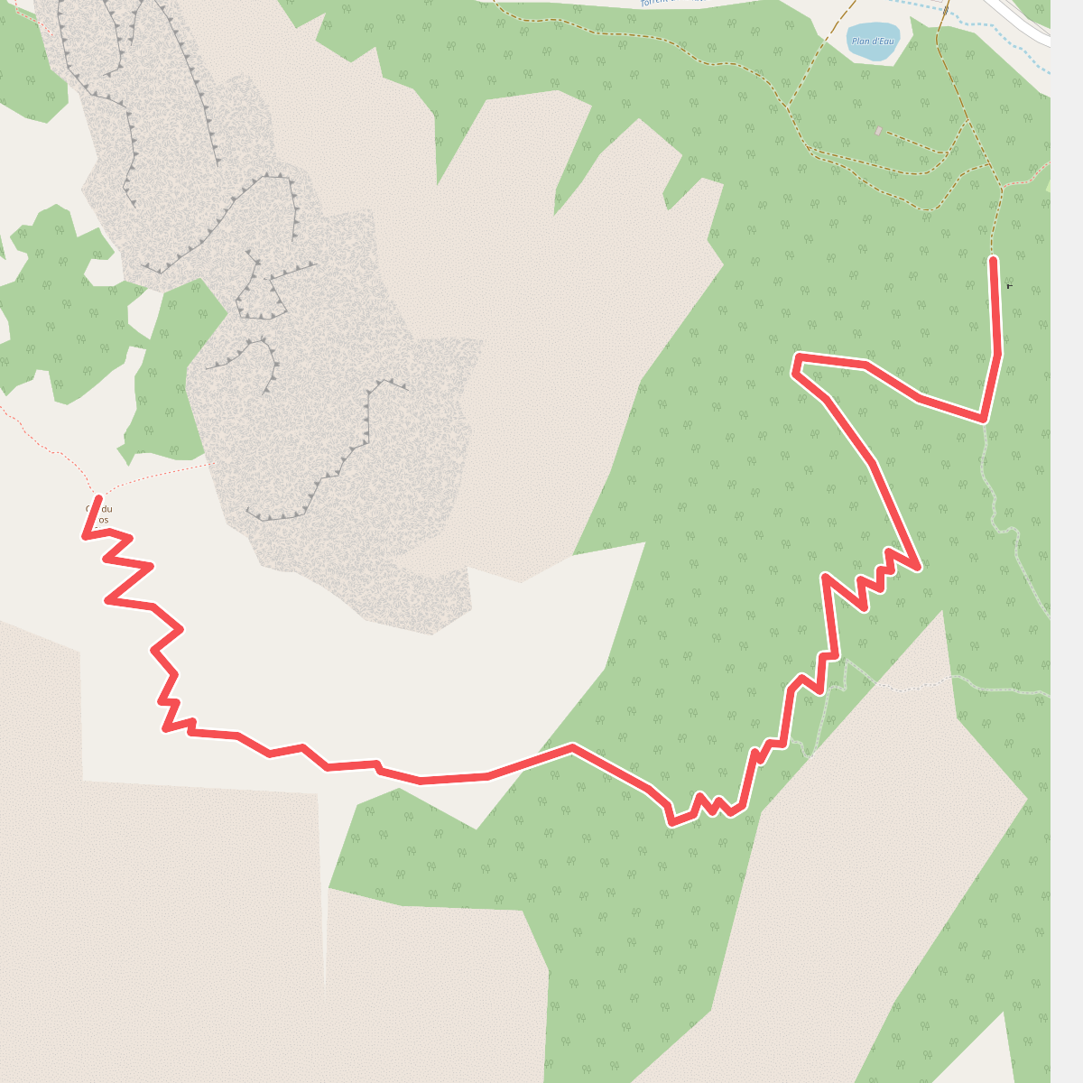
The best hiking routes in Parc naturel régional du Queyras
Discover the best walks in Parc naturel régional du Queyras. 117 routes on the map, with descriptions, photos and GPX.
About Parc naturel régional du Queyras
Parc naturel régional du Queyras is characterized by its high-altitude larch forests, dry alpine meadows, and steep limestone scree slopes. Unlike the wetter northern valleys of the French Alps, this area receives significant sunlight, which shapes a drier, more open landscape. Walkers will notice how the bright green needles of the larch trees allow light to reach the forest floor, creating a grassy understory rather than dense, dark pine woods. The Guil River cuts through the center of the territory, creating deep gorges that contrast with the wide, elevated basins above.
Read more
About Parc naturel régional du Queyras
Parc naturel régional du Queyras is characterized by its high-altitude larch forests, dry alpine meadows, and steep limestone scree slopes. Unlike the wetter northern valleys of the French Alps, this area receives significant sunlight, which shapes a drier, more open landscape. Walkers will notice how the bright green needles of the larch trees allow light to reach the forest floor, creating a grassy understory rather than dense, dark pine woods. The Guil River cuts through the center of the territory, creating deep gorges that contrast with the wide, elevated basins above.
Read moreParc naturel régional du Queyras is characterized by its high-altitude larch forests, dry alpine meadows, and steep limestone scree slopes. Unlike the wetter northern valleys of the French Alps, this area receives significant sunlight, which shapes a drier, more open landscape. Walkers will notice how the bright green needles of the larch trees allow light to reach the forest floor, creating a grassy understory rather than dense, dark pine woods. The Guil River cuts through the center of the territory, creating deep gorges that contrast with the wide, elevated basins above.
Underfoot, the paths vary from soft needle-littered soil in the forests to loose shale and rocky tracks as you ascend above the treeline. The terrain climbs steeply, and walkers should expect significant elevation gain on almost every route. There are no flat, rolling hills here; instead, the trails lead to high mountain passes, known locally as cols, and glacial lakes like Lac de l'Eychassier, where the vegetation thins out to bare rock and alpine tundra.
In June, the melting snow reveals a carpet of wild pansies and anemones across the high pastures, while by October, the larch forests turn a deep gold. The area is known for its traditional wooden architecture in villages like Saint-Véran, which serve as trailheads. While the main routes to popular lakes can become busy during the summer months, the higher, more demanding passes remain quiet and offer a rugged, rocky walking experience.
Hiking routes in Parc naturel régional du Queyras (117)
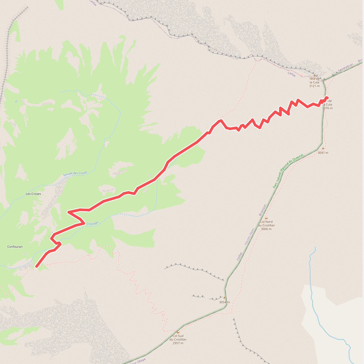
#1. Ancienne Cabane des Douanes - Col de la Cula
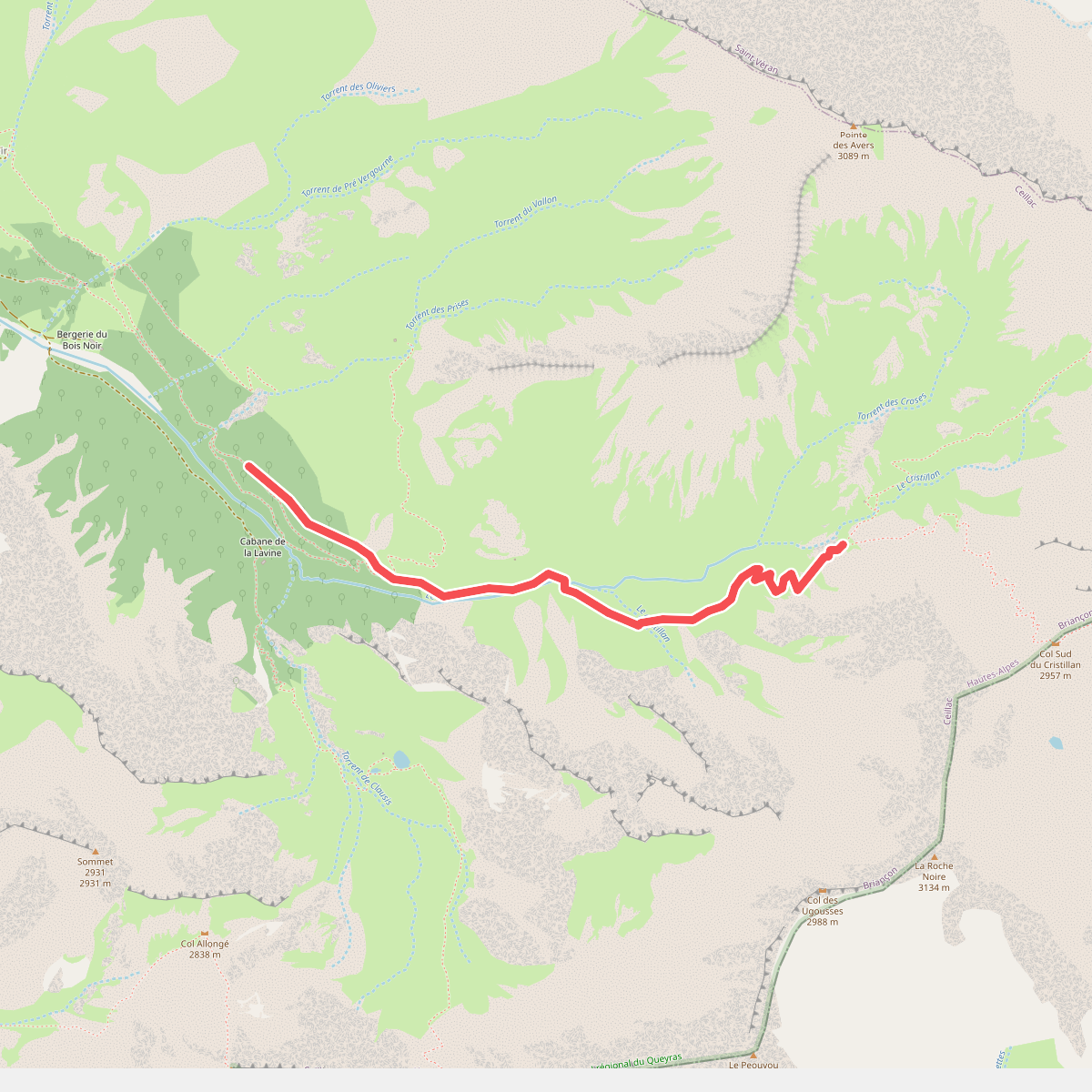
#2. Ancienne Cabane des Douanes - Les Prises de Costes Belles
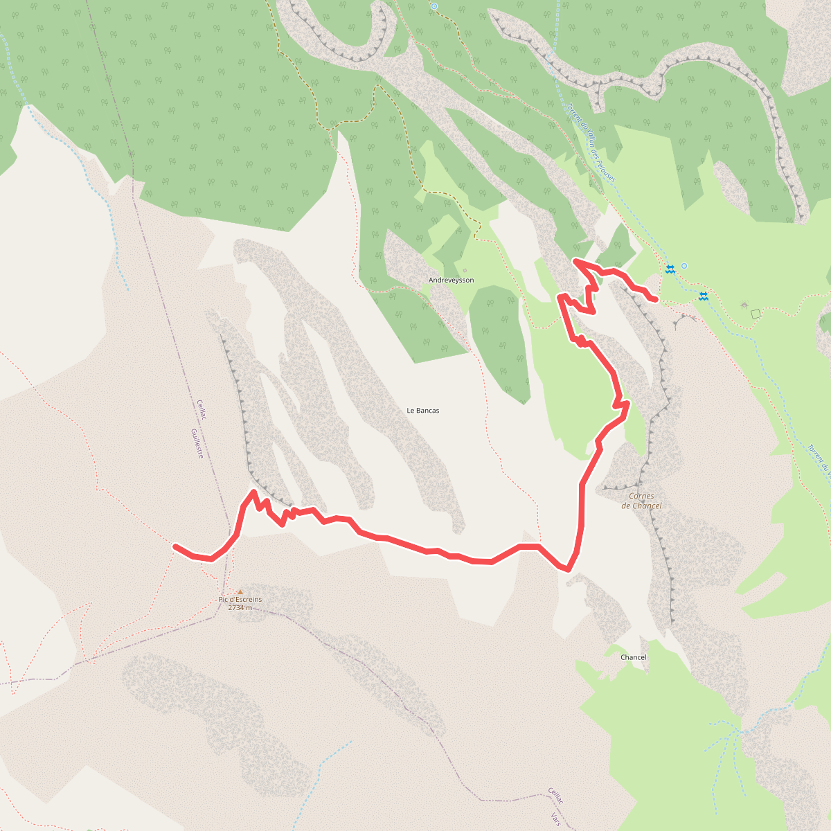
#3. Andrevez - Sous le Pic d'Escreins
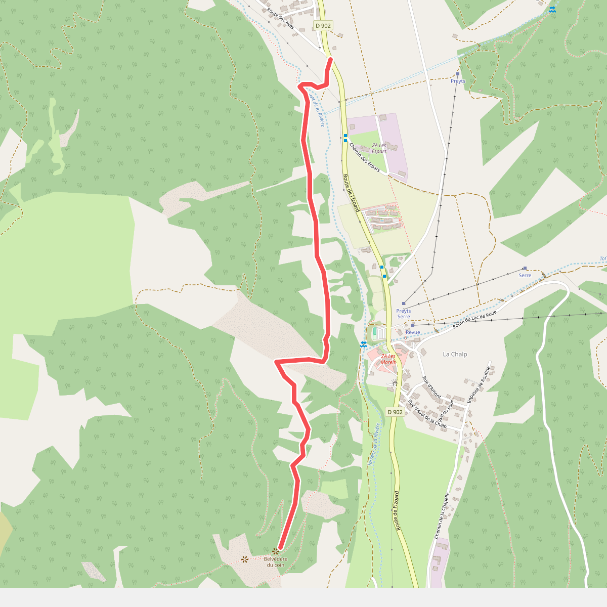
#4. Belvédère du Coin - Brunissard L'Ardouine
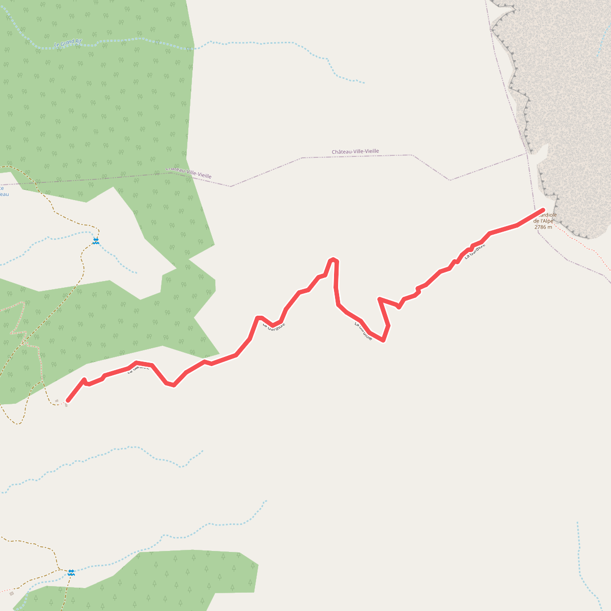
#5. Bergerie de l'Alp - La Gardiole de l'Alp
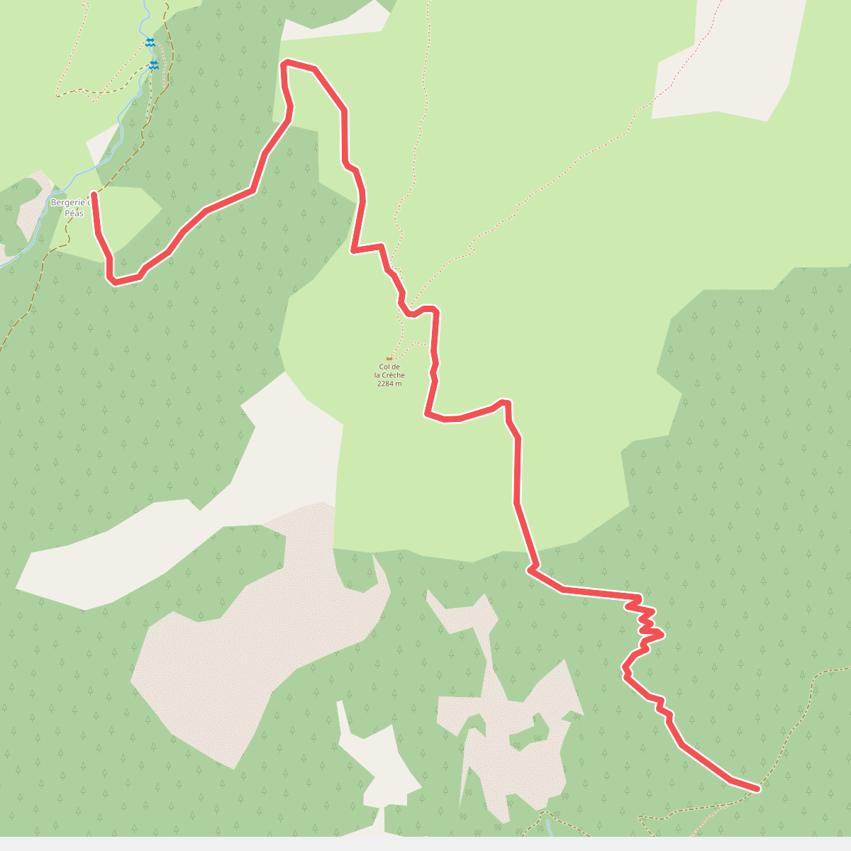
#6. Bergerie de Péas - Platenq La Charpenelle
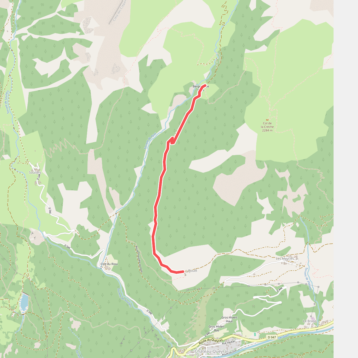
#7. Bergerie de Péas - Rouet
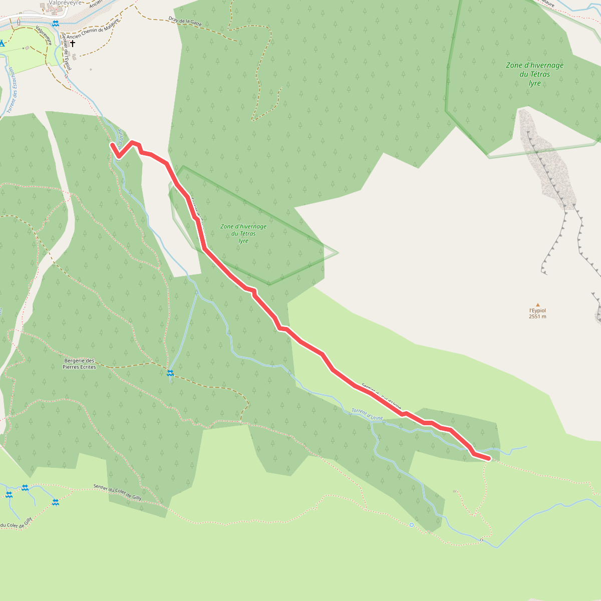
#8. Bergerie sous Roche - Torrent d'Urine
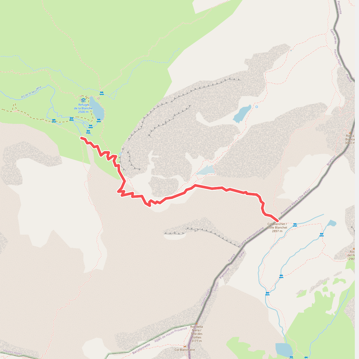
#9. Blanche - Col Blanchet
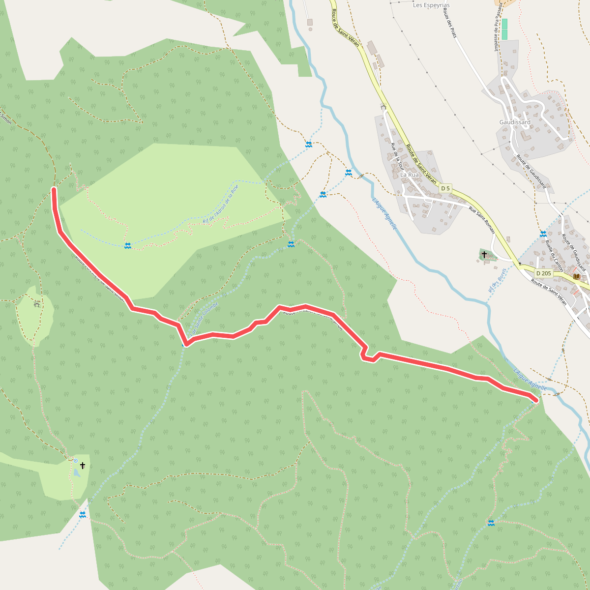
#10. Bois de l'Eyssard - Pizan
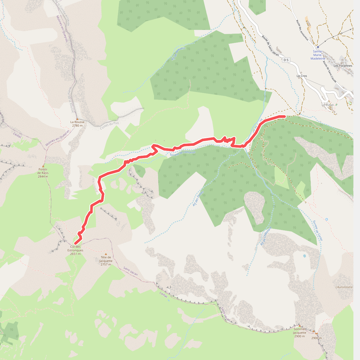
#11. Bois du Moulin - Col des Estronques